





Ryten and Kvalvika Beach Hike
Key facts about the hike
- Difficulty
- Moderate Hikes are rated from very easy to very hard: my difficulty scale
- Duration
- 4h Estimated time, short breaks included (photos, water, snacks), picnic not included: how it is calculated
- Distance
- 10.1km
- out and back
- Elevation gain
- 770m
- Type of route
- Out and back
- Maximum altitude
- 543 m
- Vertiginous Five levels, depending on how exposed the route is: the levels in detail
- No
- Marked
- No
- Popularity
- High
- Island
- Moskenesøya, Lofoten
- Start point
- 68.09078, 13.15589
- Activity
- Hiking
Hike overview
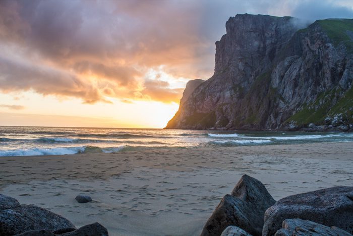
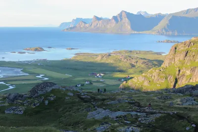
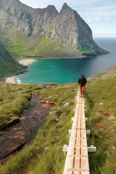
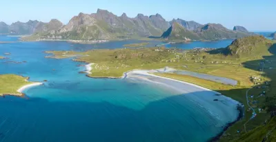
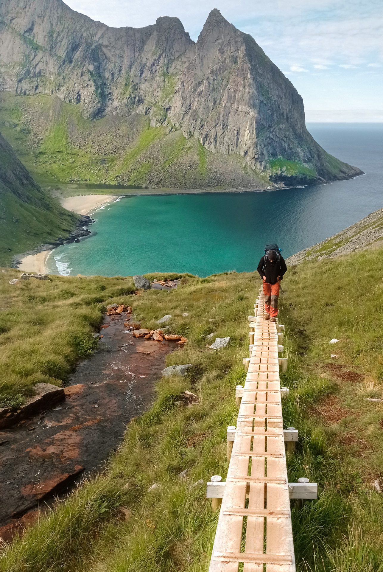
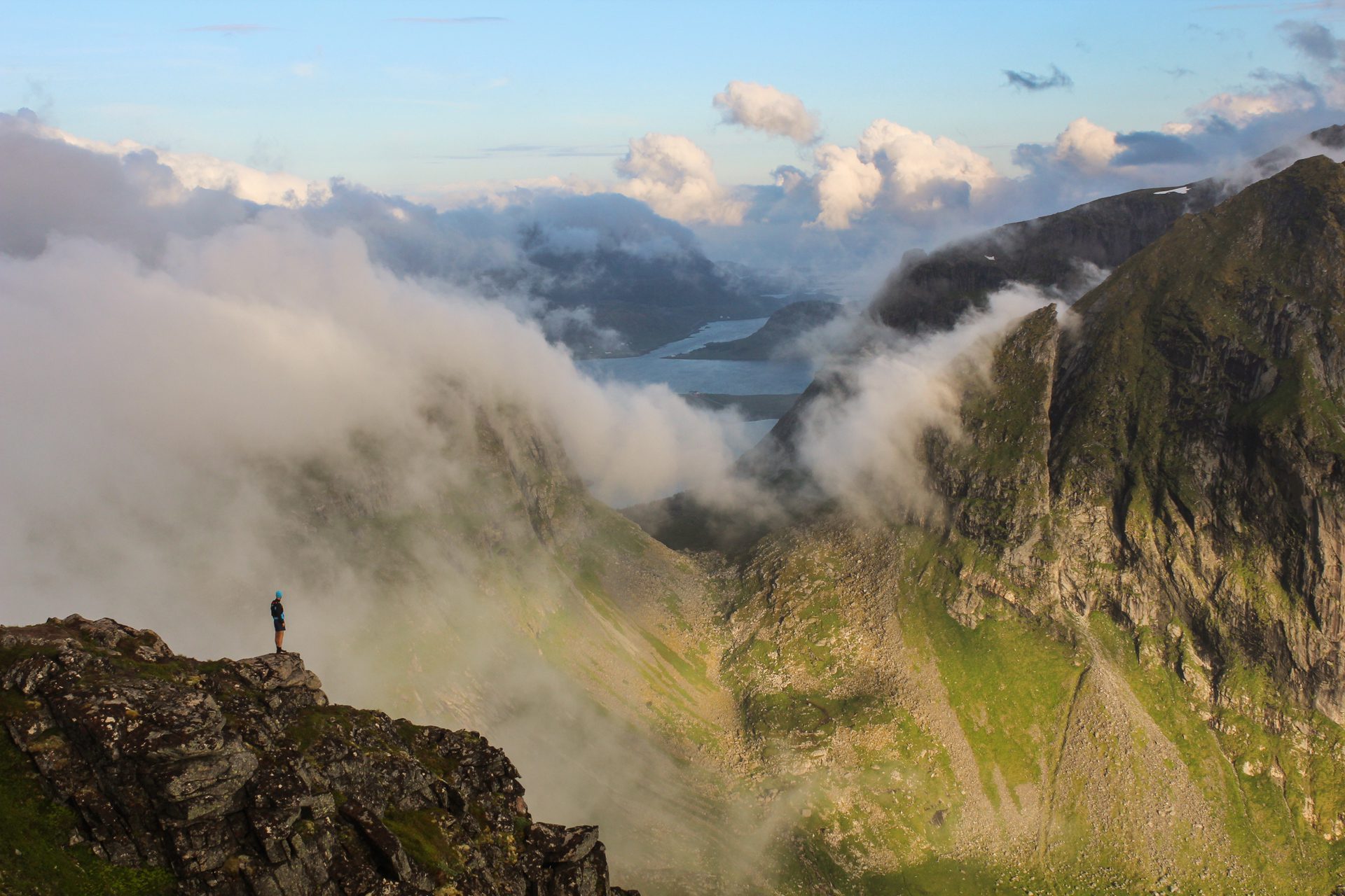
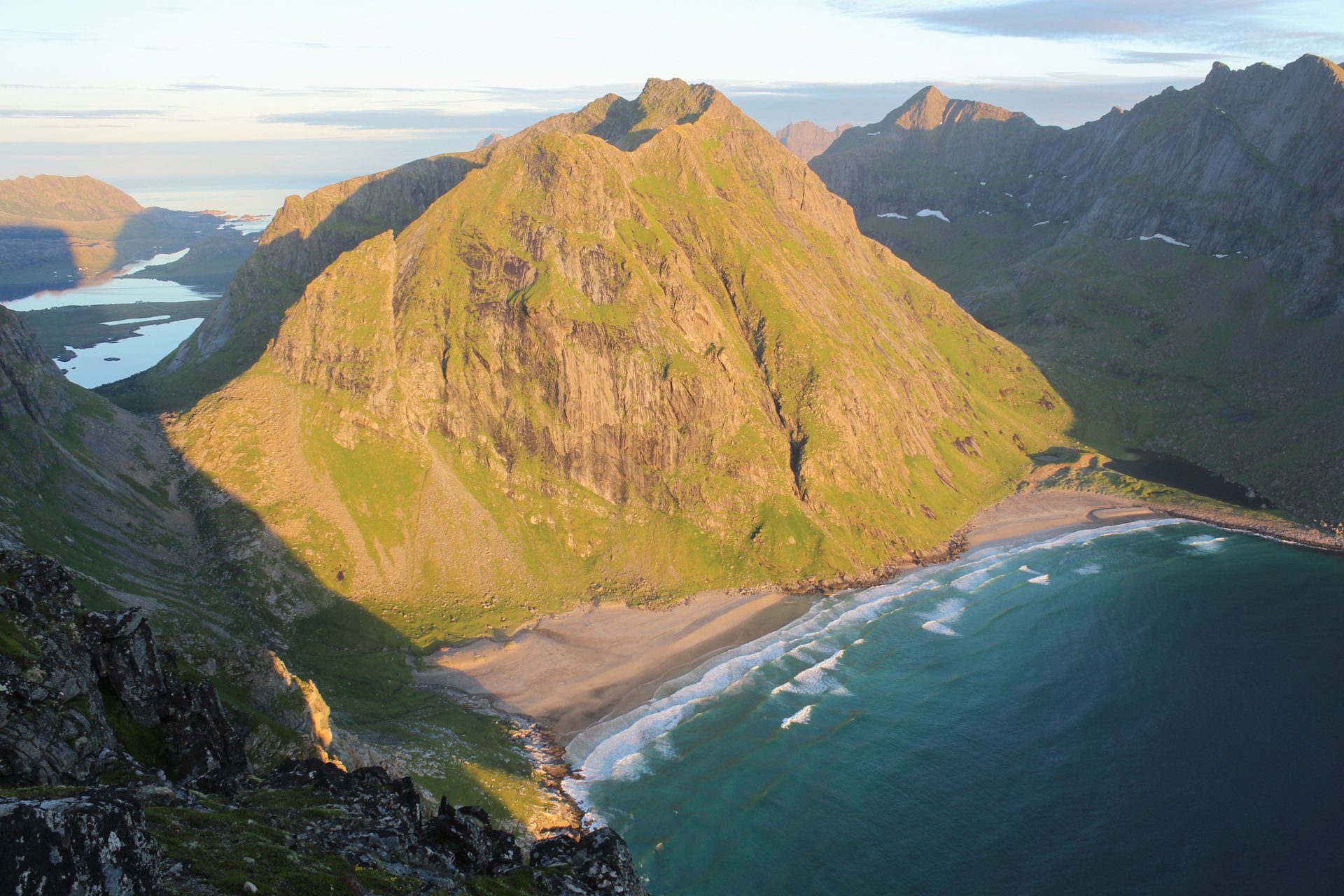
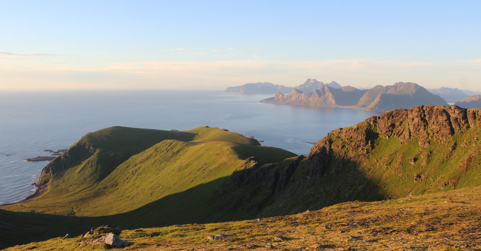
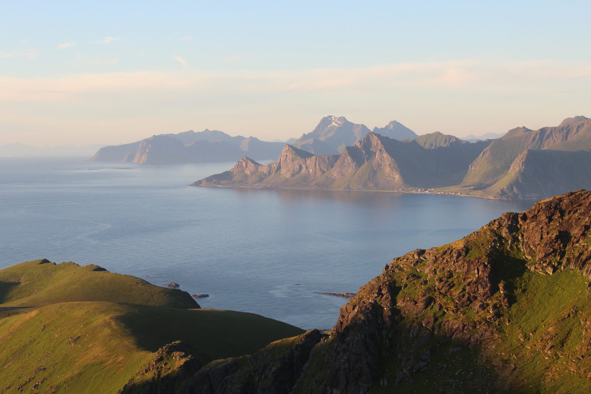
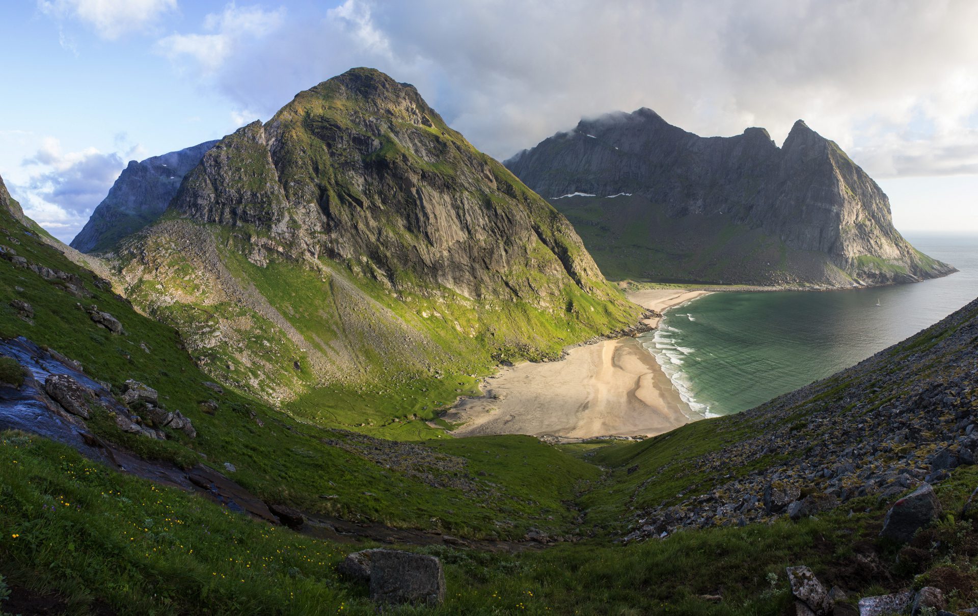
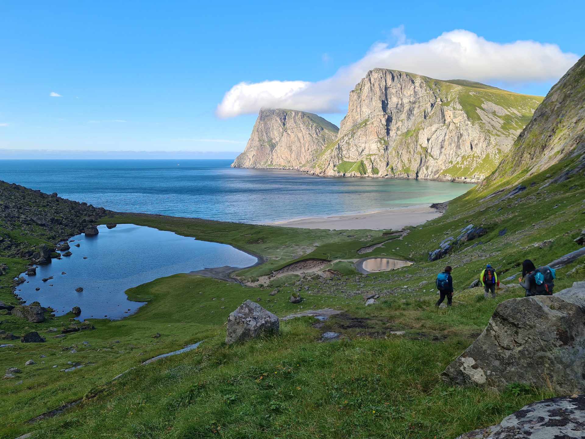
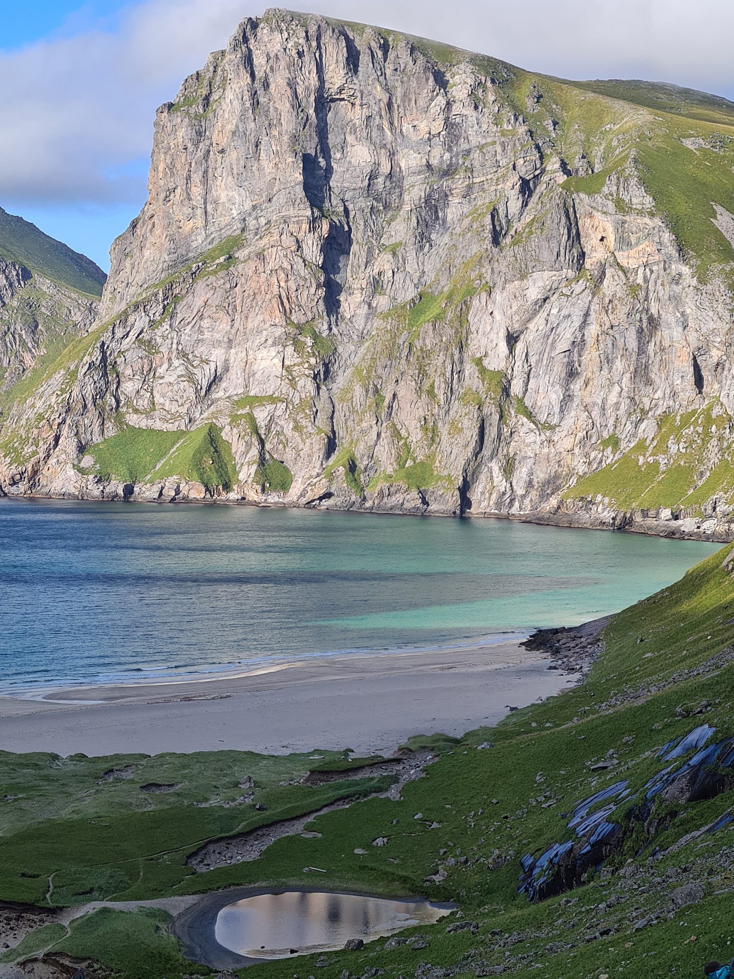
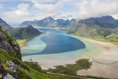
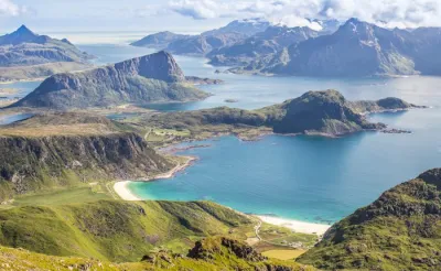
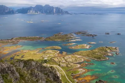
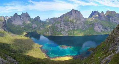
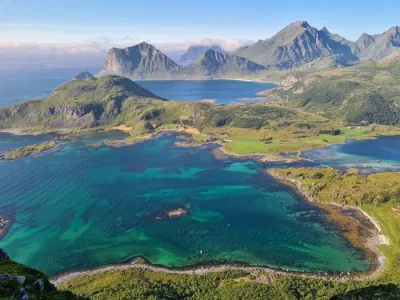
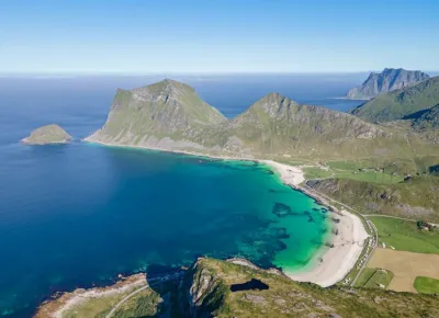
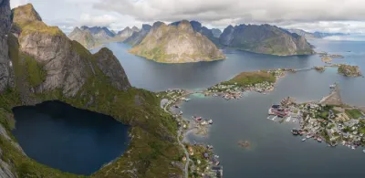
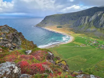
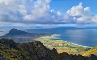
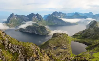
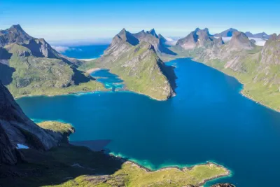
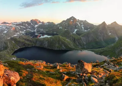
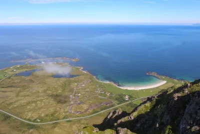
The hike up Ryten (543 m) leads to the summit of this iconic peak in the Lofoten Islands, where hikers are rewarded with spectacular views of Kvalvika Beach and its turquoise waters, which are bordered by steep cliffs. This is one of the most popular routes in the Lofoten Islands, offering a panorama that is among the most photographed in the Norwegian archipelago.
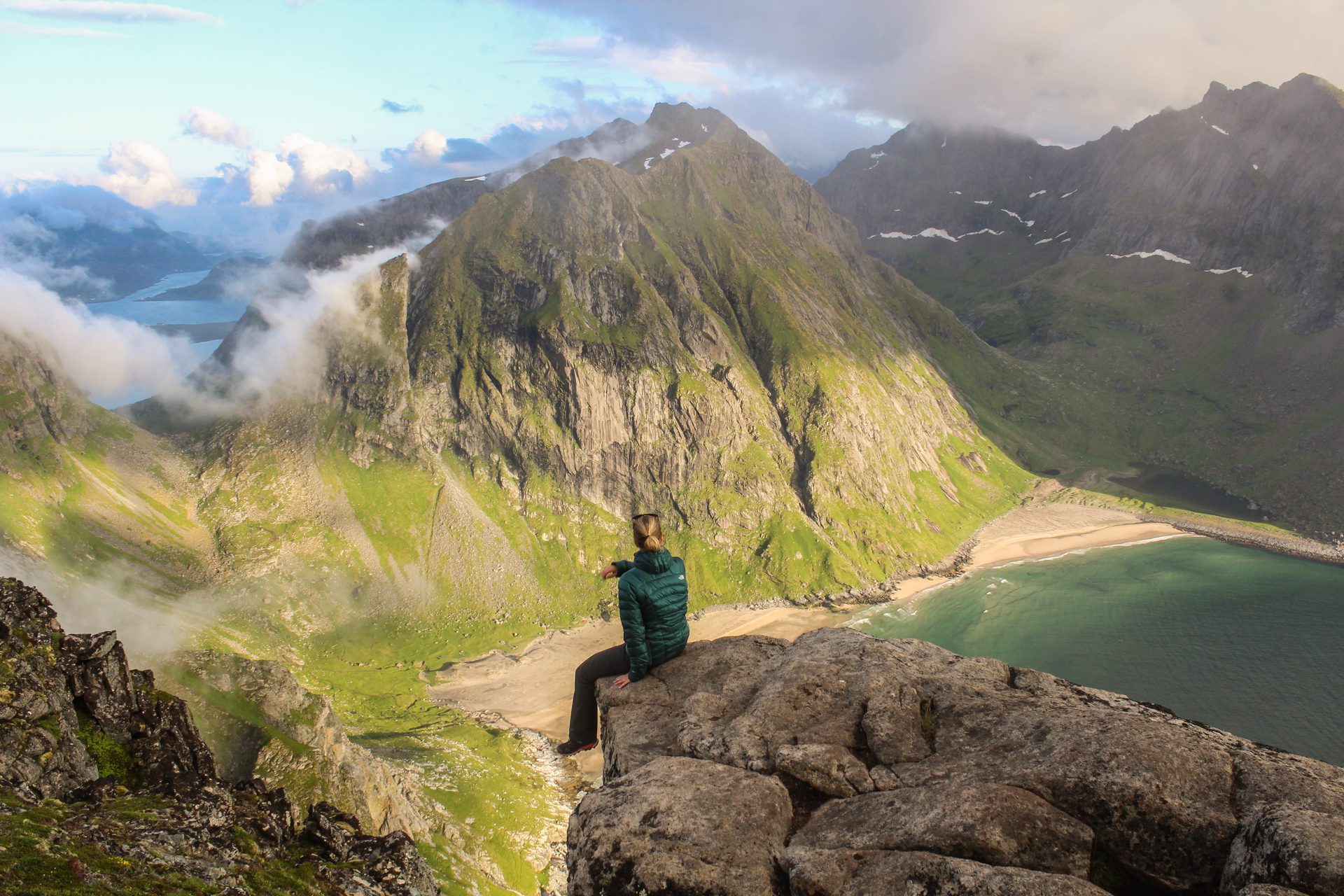
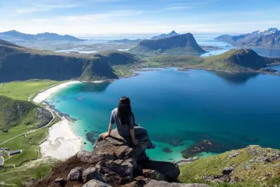
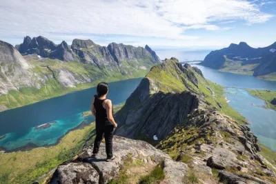
Ryten also offers an iconic photo spot, nicknamed the "mini-Trolltunga" of Lofoten, where an overhanging rock creates the illusion of hanging over the void. Not for the faint of heart!
Map and elevation profile of the hike
Ryten and Kvalvika Beach Hike
Difficulties of the hike
The hike is very accessible with no particular technical difficulties. Although some slopes are steep, especially near the summit, they remain moderate compared to other hikes in the Lofoten Islands.
The trail is clearly visible, and there are even a few signposts along the way, which is unusual for the region. This makes it easier to find your way. The trail is also well-maintained with wooden walkways to cross marshy or muddy areas.
What you'll love
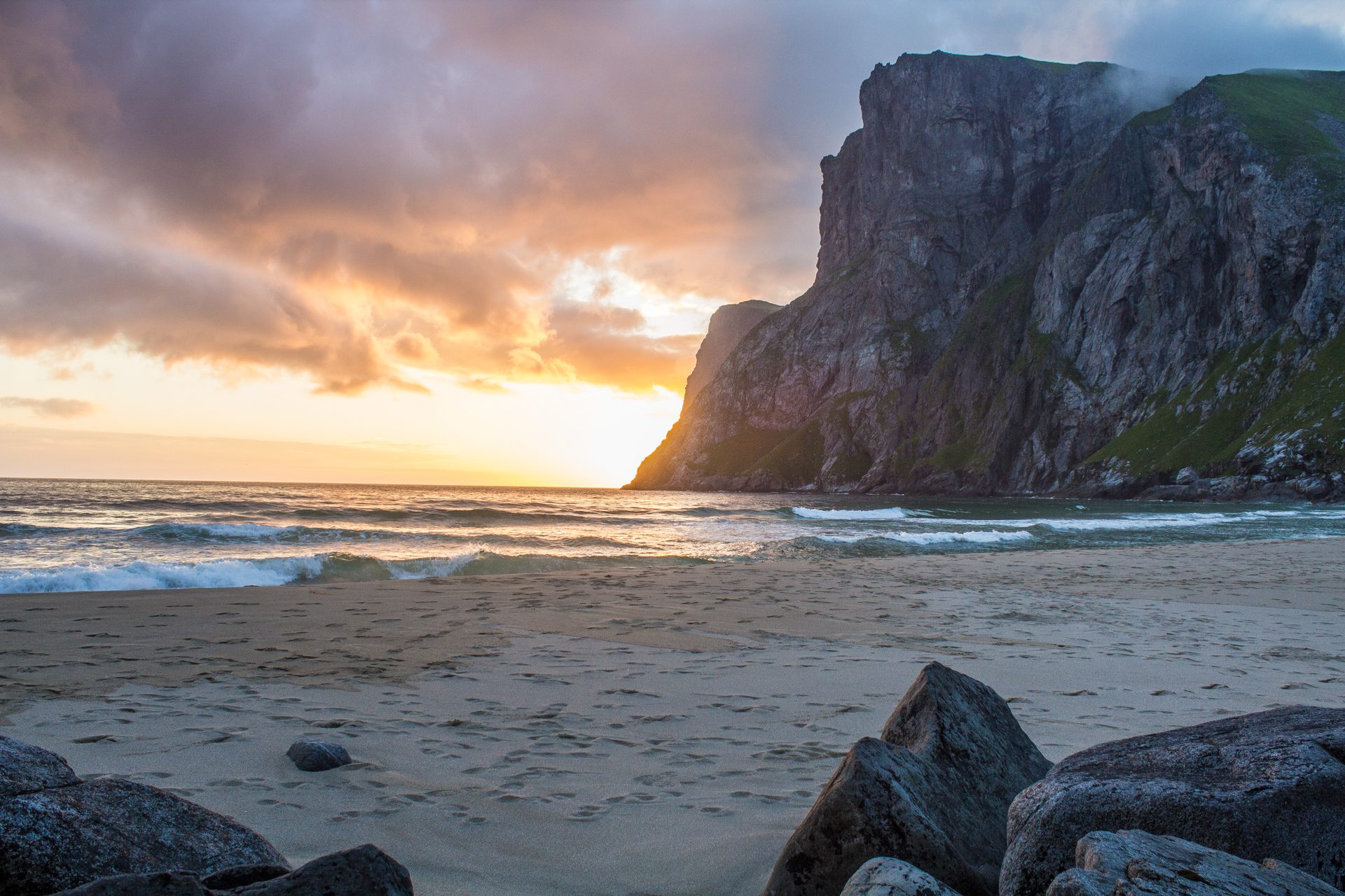
- The breathtaking view from the summit: spectacular panorama of Kvalvika Bay with its turquoise waters and golden sand, framed by vertiginous cliffs.
- The magnificent Kvalvika beach: an opportunity to enjoy a moment of relaxation or a refreshing swim for the more adventurous!
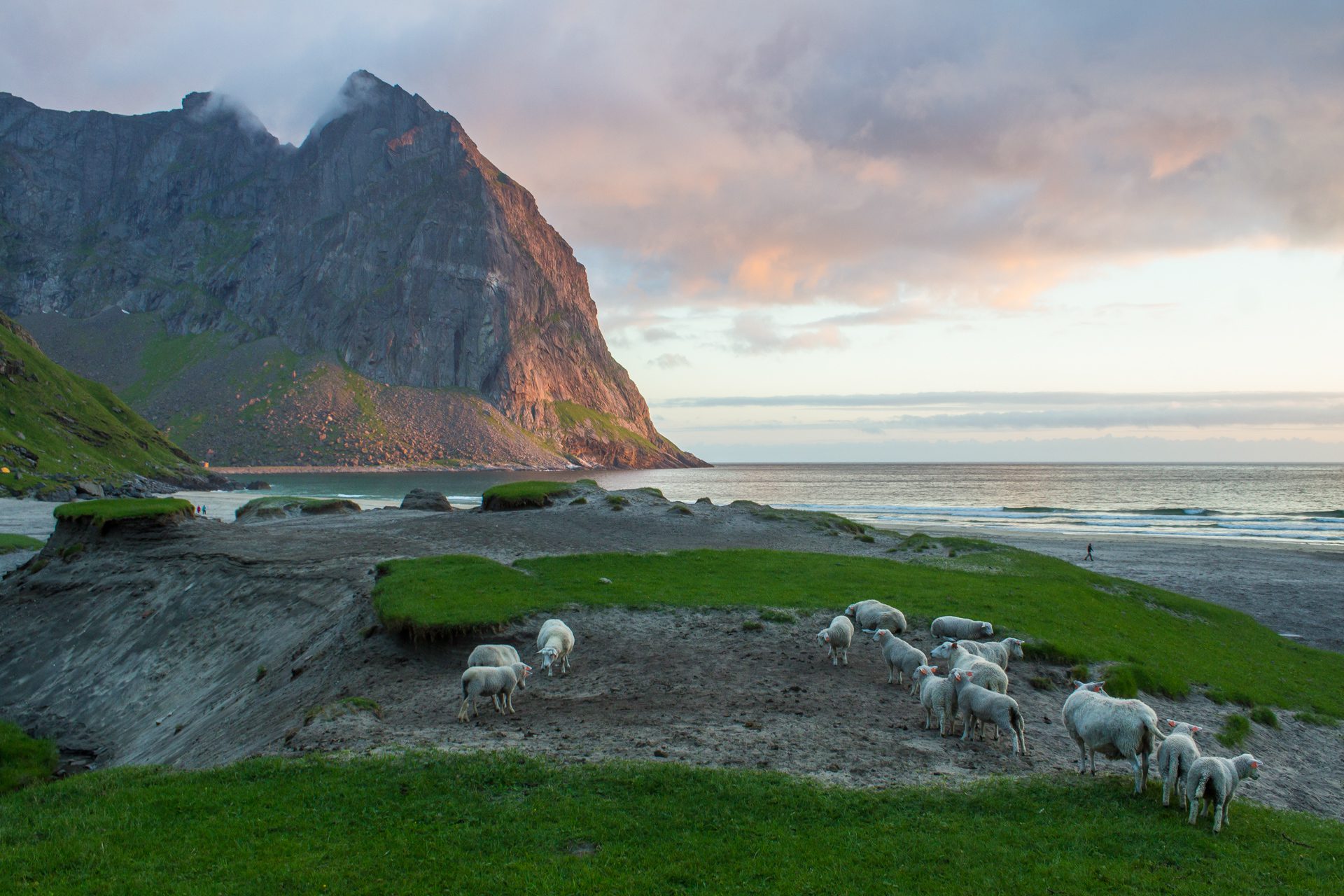
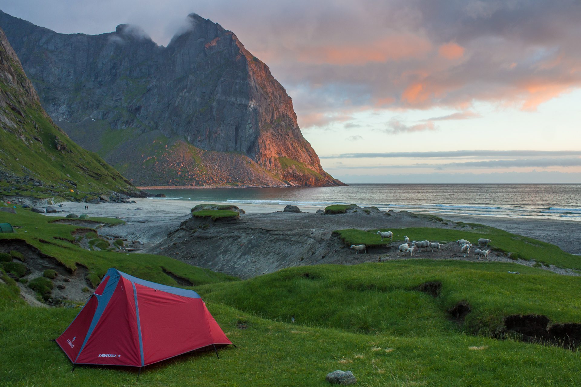
- An ideal camping spot: The grassy dunes behind the beach are an excellent place to pitch your tent. You'll also find water there to replenish your supplies.
- Iconic photo spot: The famous overhanging rock allows you to recreate the "Trolltunga" effect for spectacular shots.
Practical information
Parking
Several parking options are available. There is free parking (in 2021) on Route 806, 600 meters after the Fredvang junction. There is also paid parking with services in Innersand, which shortens the hike by about one kilometer. Note that both parking lots fill up quickly during the summer season, so it's best to leave outside of peak hours.
Best time to go
June to September on average. See the Norway FAQ for more details.
Photos
See all 13 photos →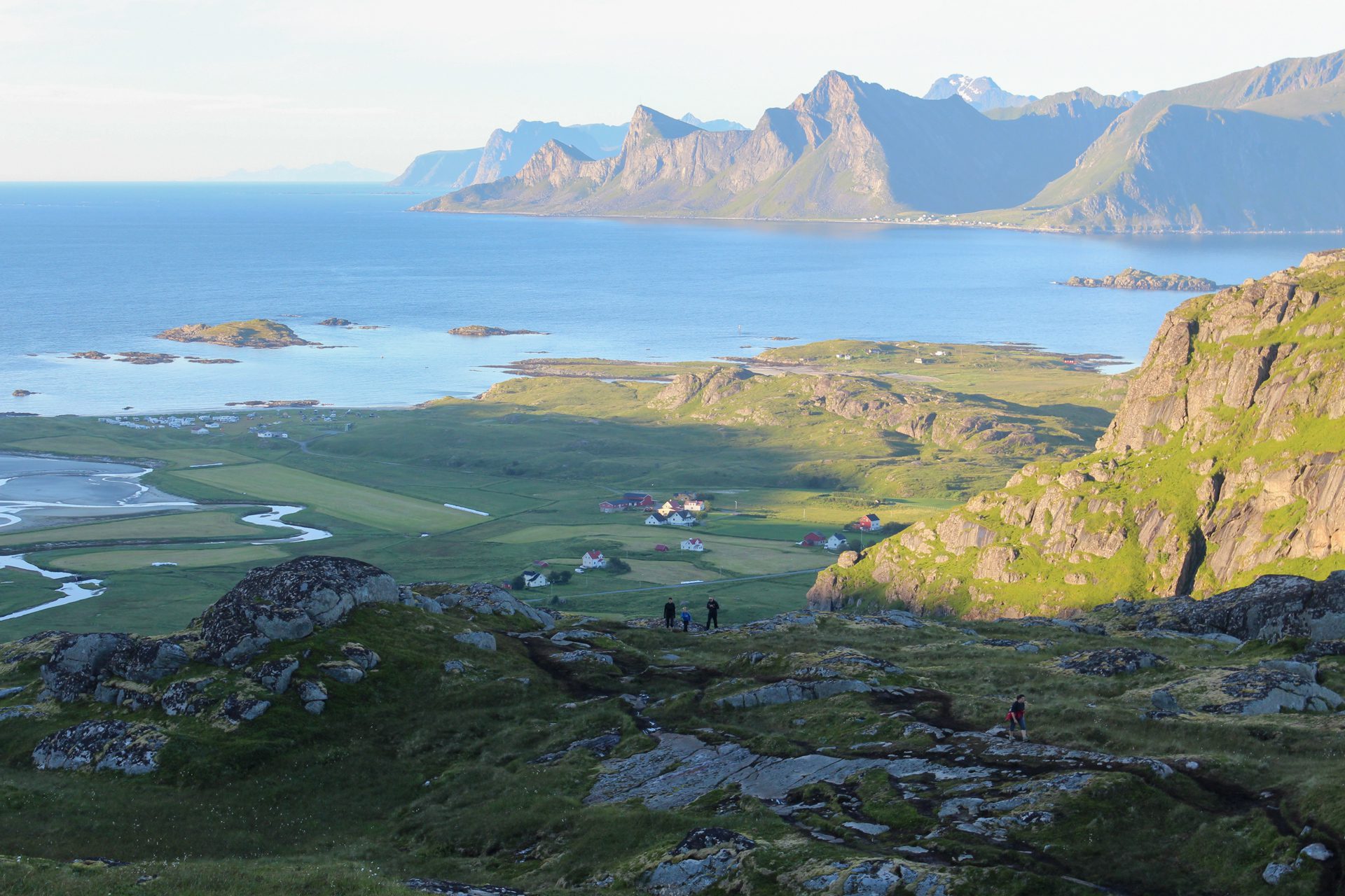
More hikes to do in Norway
Nearby hikes














Printed from www.horizonrando.fr/en/norway/ryten/