
Fjord Region
From Stavanger to the Sunnmøre Alps: fjords, glaciers and relentless terrain.
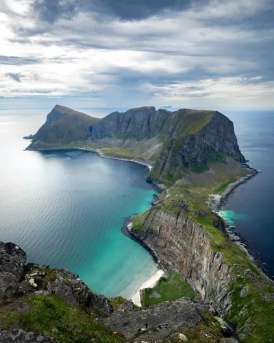
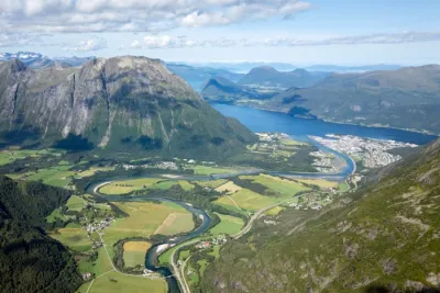
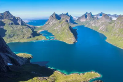
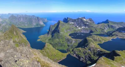
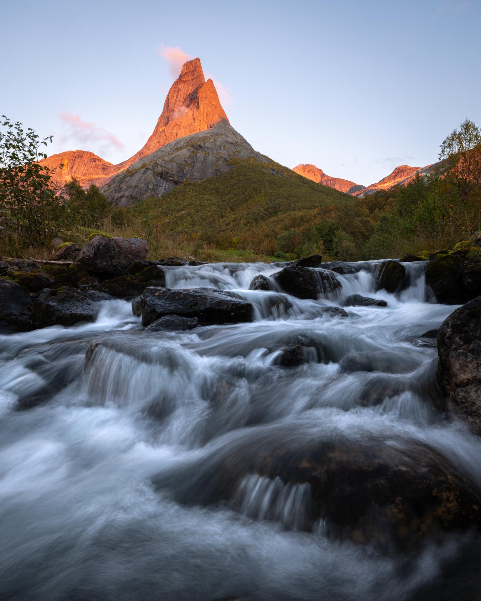
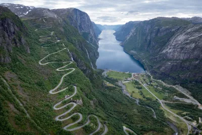
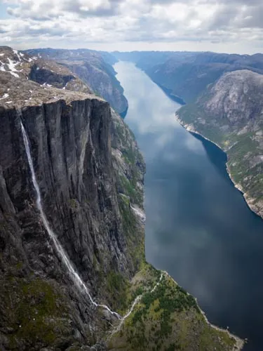
The Fjord Region stretches over 600 kilometres along the western coast, from Stavanger in the south to the Sunnmøre Alps in the north, crossing three counties (Rogaland, Vestland and Møre og Romsdal). The ice ages left their most striking marks here: the Sognefjord cuts 204 kilometres inland, while the Geirangerfjord — a UNESCO World Heritage Site — features cliffs rising over 1,000 metres above the water. Further inland, the Jostedalsbreen glacier, the largest on the European mainland, extends its tongues all the way to the valleys.
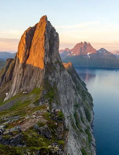
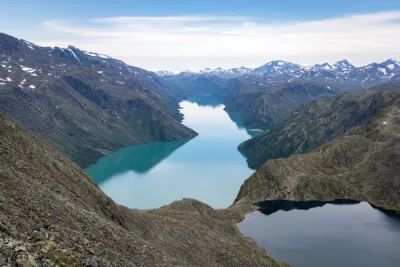
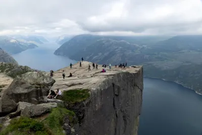
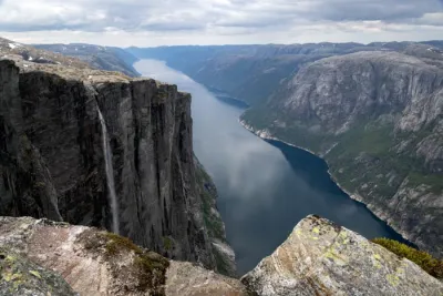
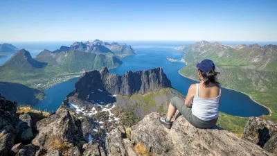
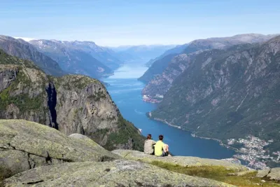
For hikers, this translates to challenging terrain: trails start at sea level and climb 500–1,000 metres in elevation over just a few kilometres. This is the region of Preikestolen, Kjerag and Besseggen, as well as dozens of lesser-known routes — such as ridge trails above the Hjørundfjord, glacier approaches in the Oldedalen valley and secluded lookouts over the Sognefjord — which offer equally stunning panoramic views away from the crowds.
I have listed 56 hikes here, ranging from family walks at the foot of the Briksdalsbreen glacier to challenging climbs such as Slogen (1,564 m).