






Preikestolen Hike
Key facts about the hike
- Duration
- 3h30 Estimated time, short breaks included (photos, water, snacks), picnic not included: how it is calculated
- Distance
- 8.1km
- out and back
- Elevation gain
- 480m
- Type of route
- Out and back
- Maximum altitude
- 604 m
- Vertiginous Five levels, depending on how exposed the route is: the levels in detail
- Slightly
- Marked
- Yes
- Popularity
- Very high
- County
- Rogaland
- Start point
- 58.99136, 6.13813
- Activity
- Hiking
Hike overview
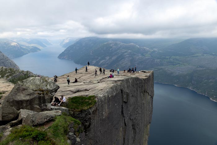
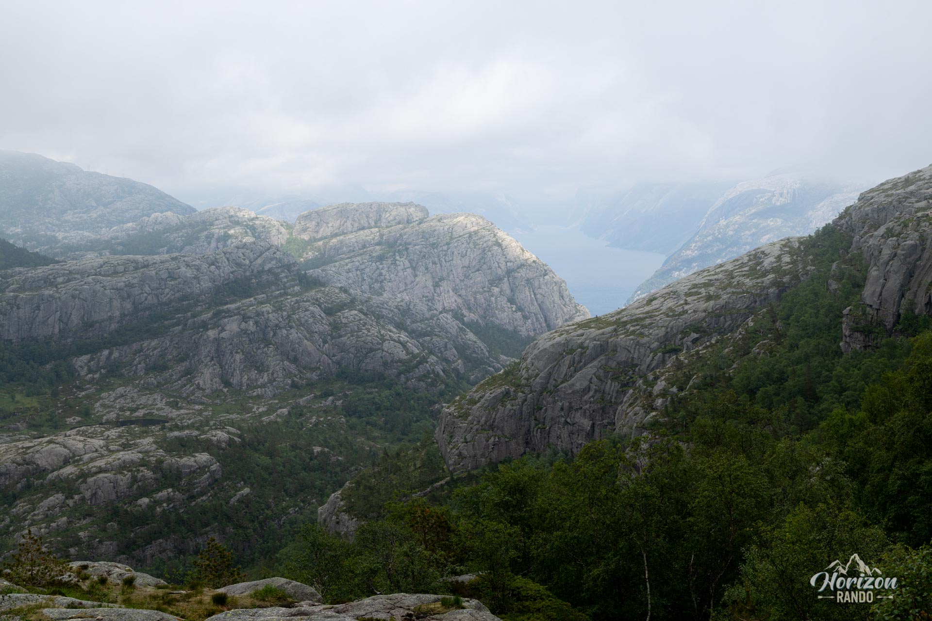
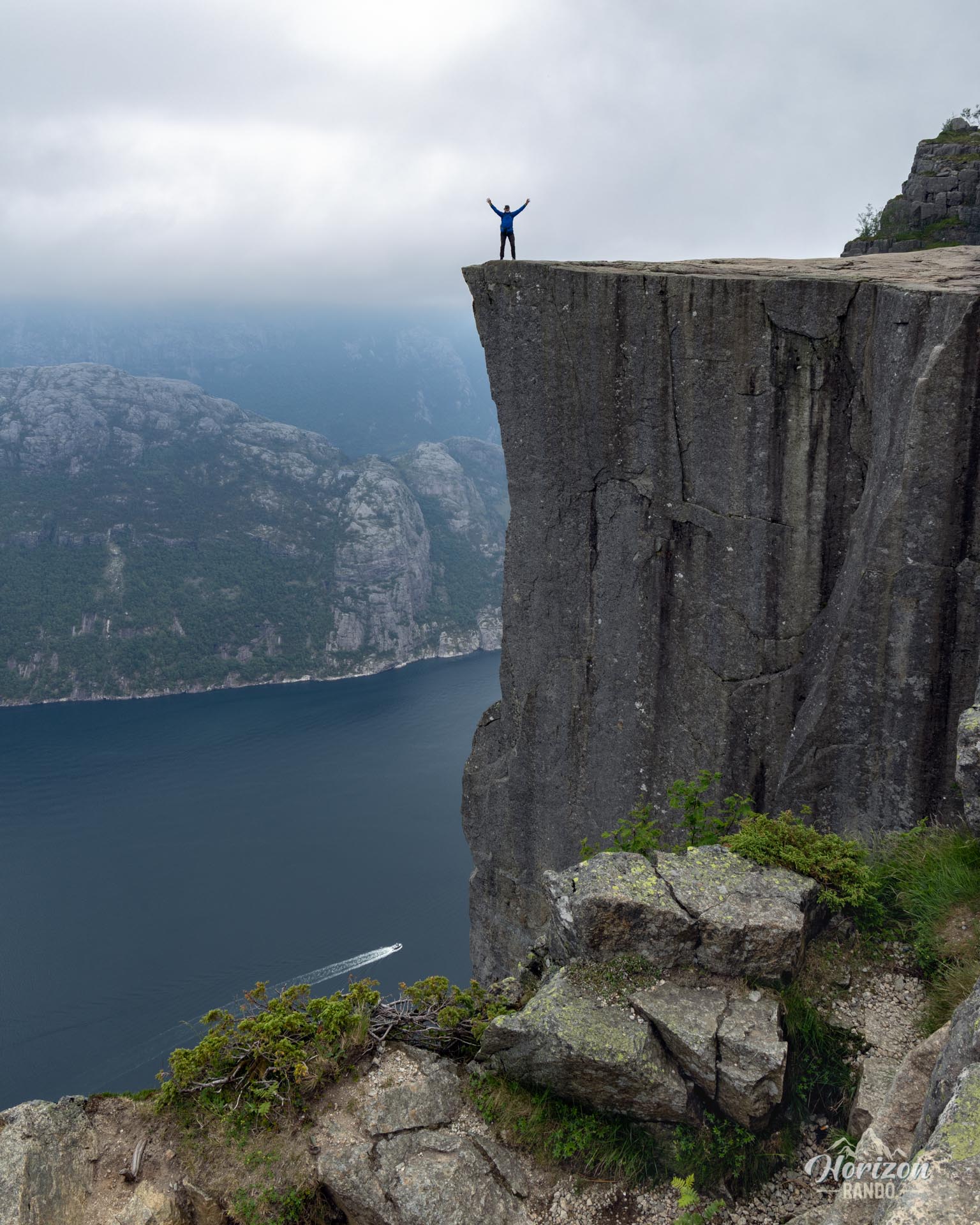
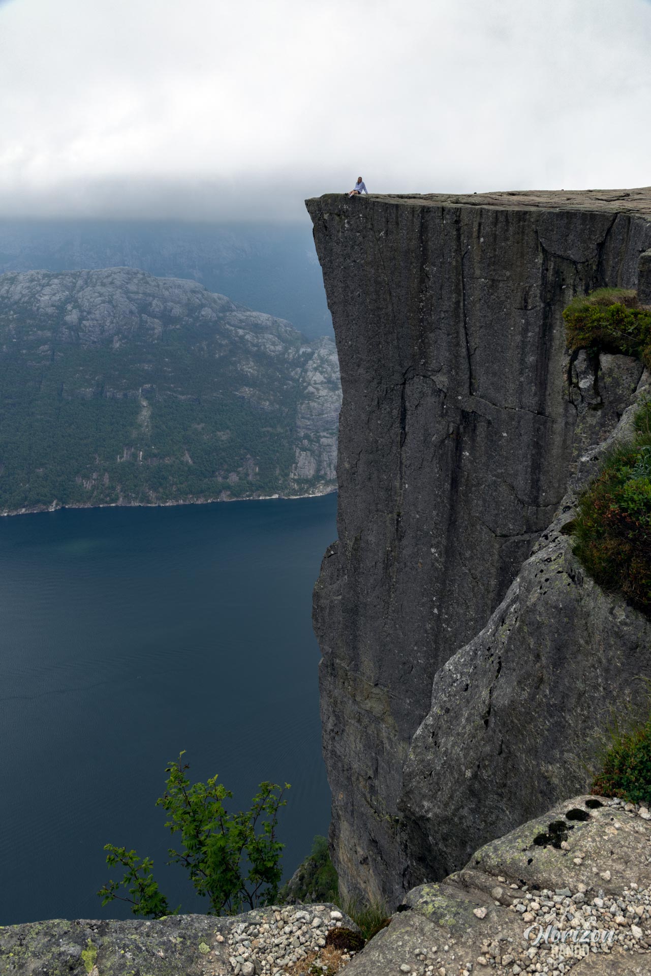
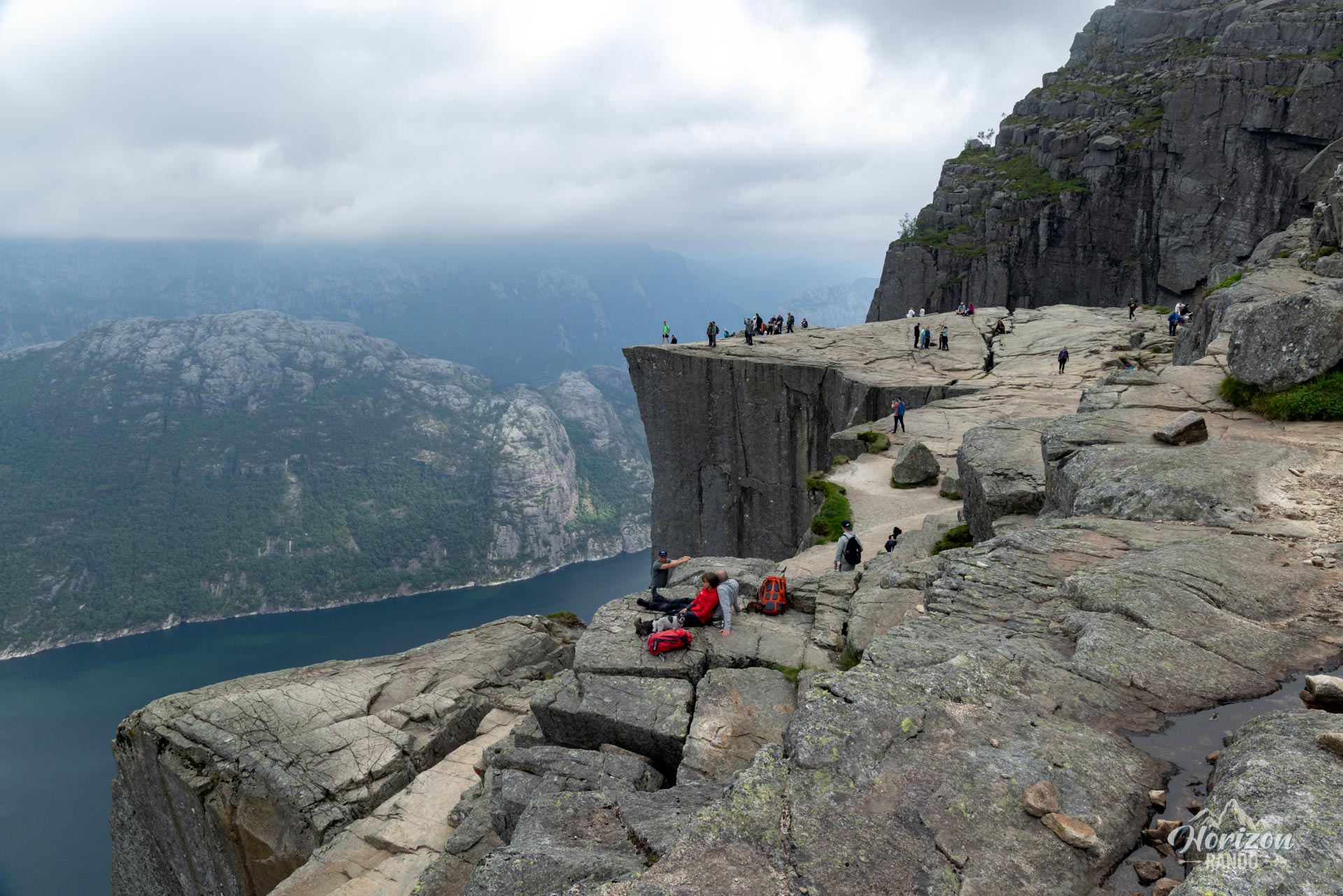
Preikestolen, also known as Pulpit Rock, is an impressive granite cliff that rises 604 meters above the sparkling waters of the Lysefjord in southwestern Norway. Formed around 10,000 years ago at the end of the last Ice Age, this iconic geological formation has become one of the country's most photographed natural sites.
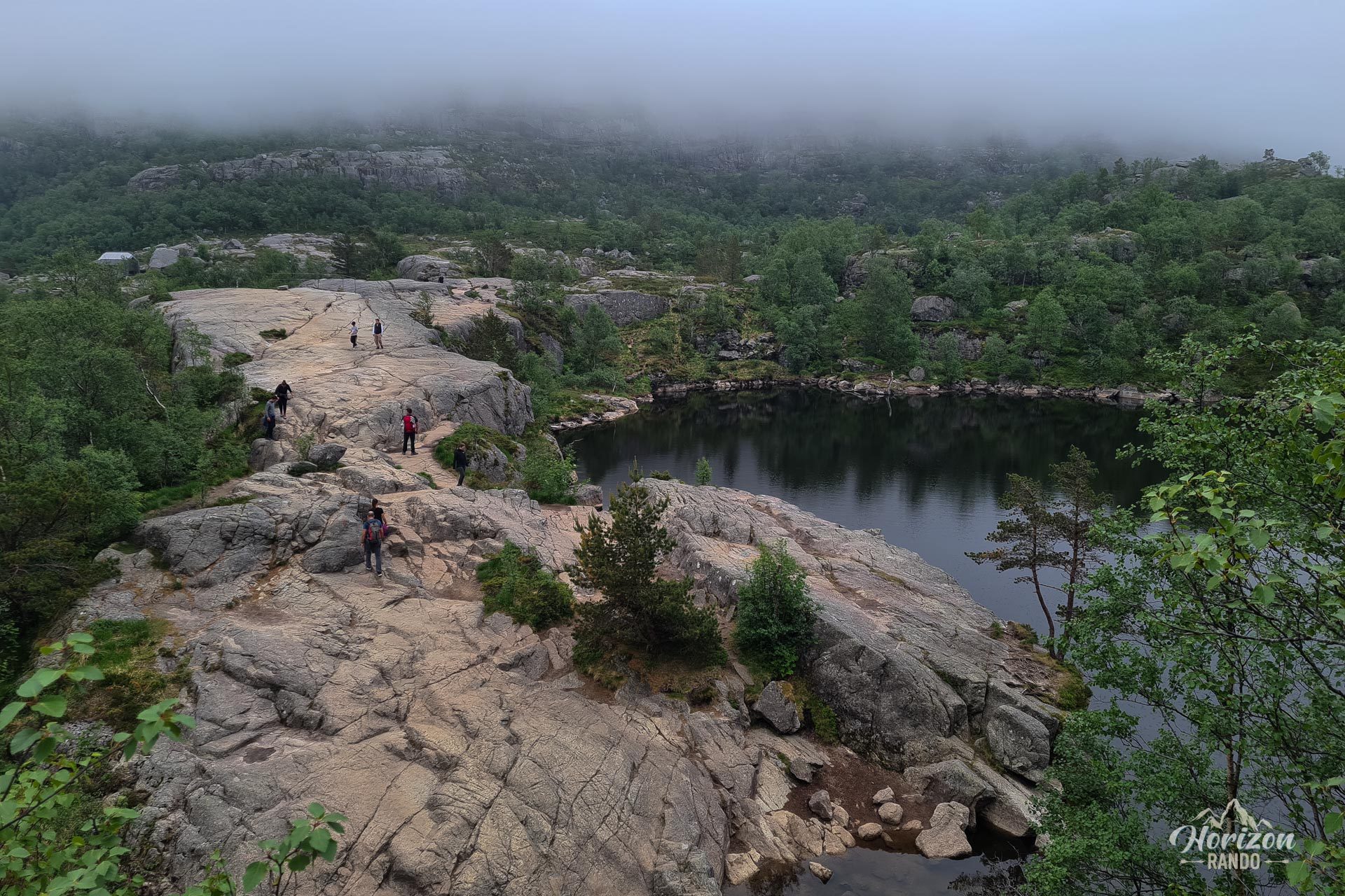
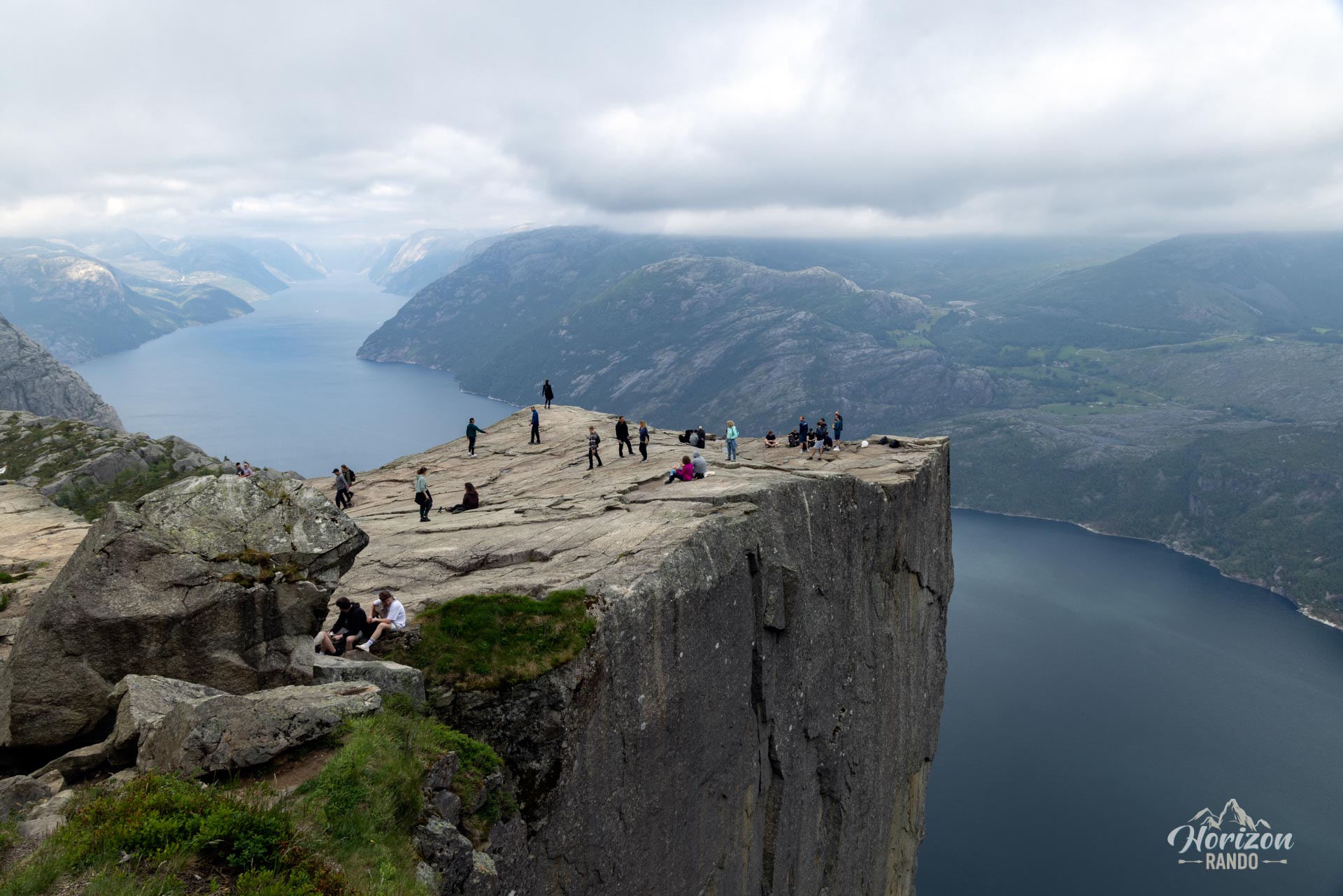
Each year, over 300,000 hikers come to walk on its famous square plateau, which is 25 meters on each side. They are attracted by the spectacular view of the fjord and the surrounding mountains. In the summer, this number can rise to 5,000 or even 10,000 people per day. Needless to say, you shouldn't expect a solitary experience in nature!
Map and elevation profile of the hike
Preikestolen Hike
Difficulties of the hike
Contrary to what one might think, the popularity of this hike does not mean that it is extremely easy. While the route does not present any major technical difficulties, it requires a good level of fitness. It is an 8-kilometer round trip with an elevation gain of almost 500 meters, which can be quite strenuous for occasional walkers.
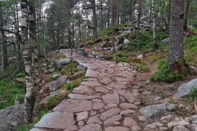
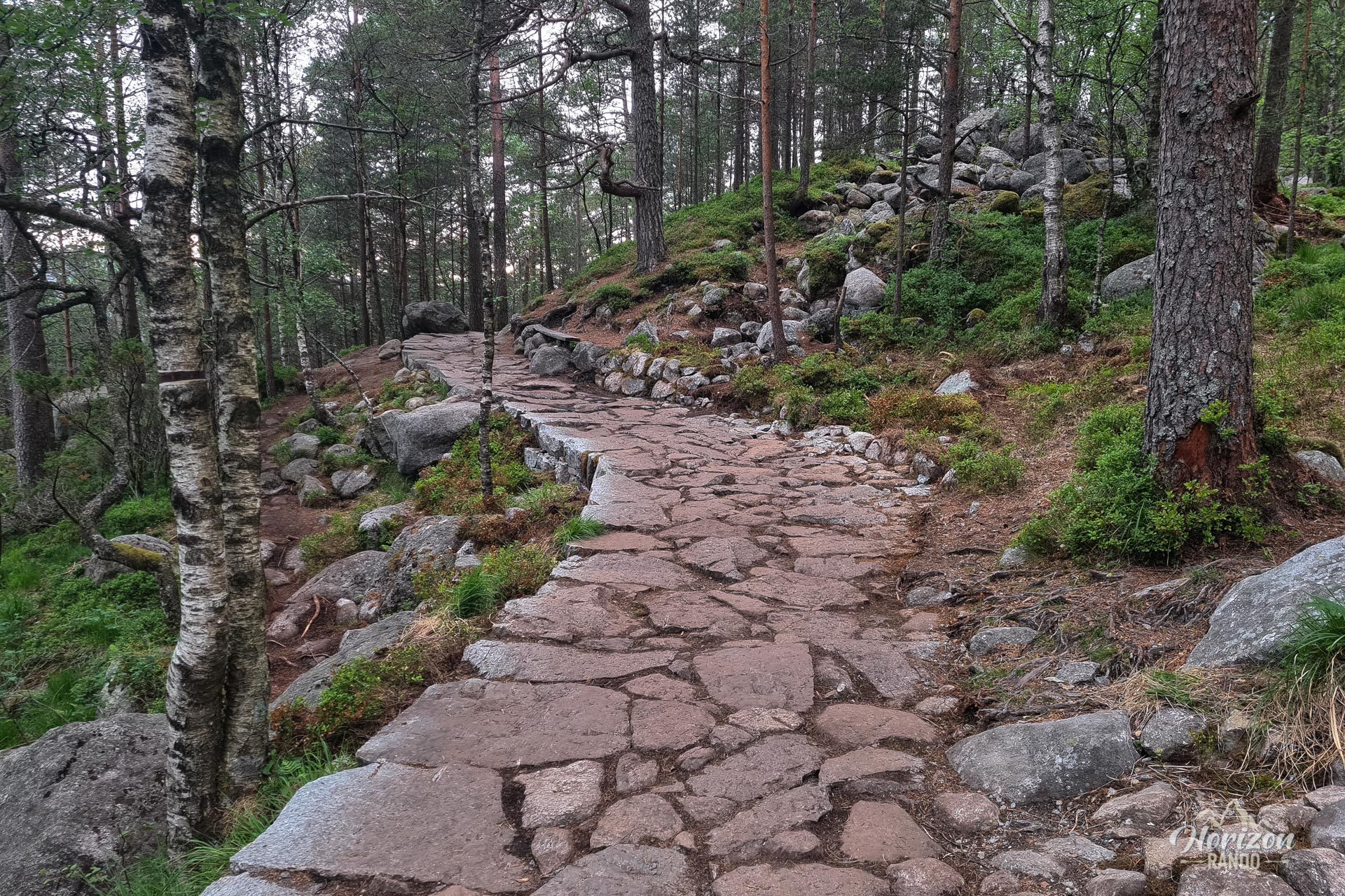
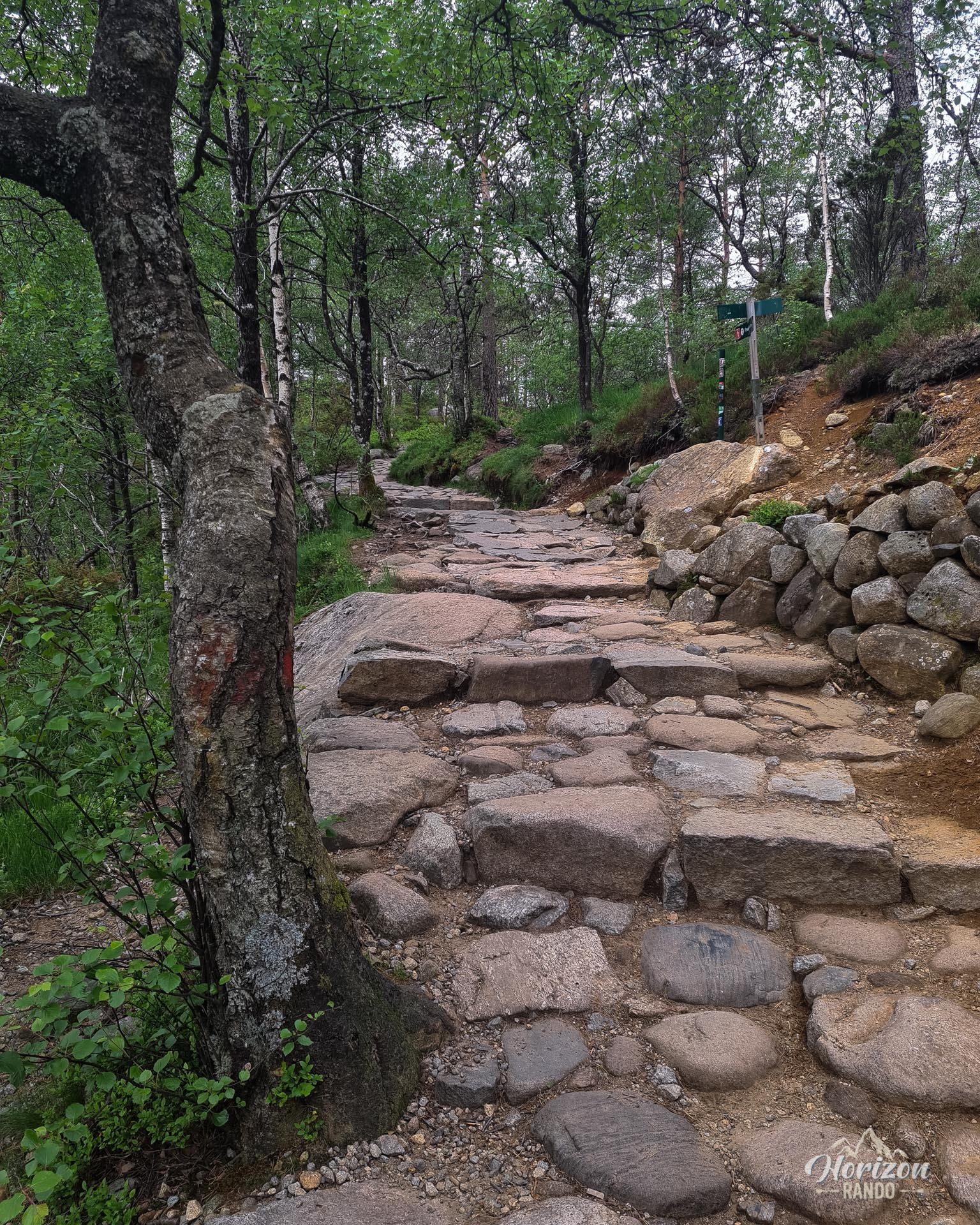
The well-designed route alternates between wooden walkways in wet areas, natural stone steps, and long sections on granite slabs to handle the large number of visitors. The granite slabs can become slippery in wet weather and require extra caution. The trail is well marked and easy to follow in clear weather.
What you'll love
- A spectacular view of the Lysefjord from the rocky plateau, 604 meters above the fjord.
- The sense of accomplishment upon reaching this world-famous natural site, which has been made famous by films and countless photos.
What might be less appealing
- Overcrowding during peak season can detract from your immersion in nature.
- Waiting to take photos on the plateau can be difficult during peak times.
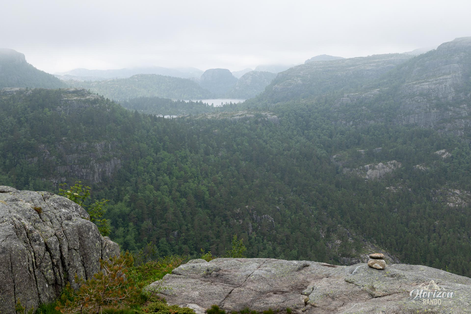
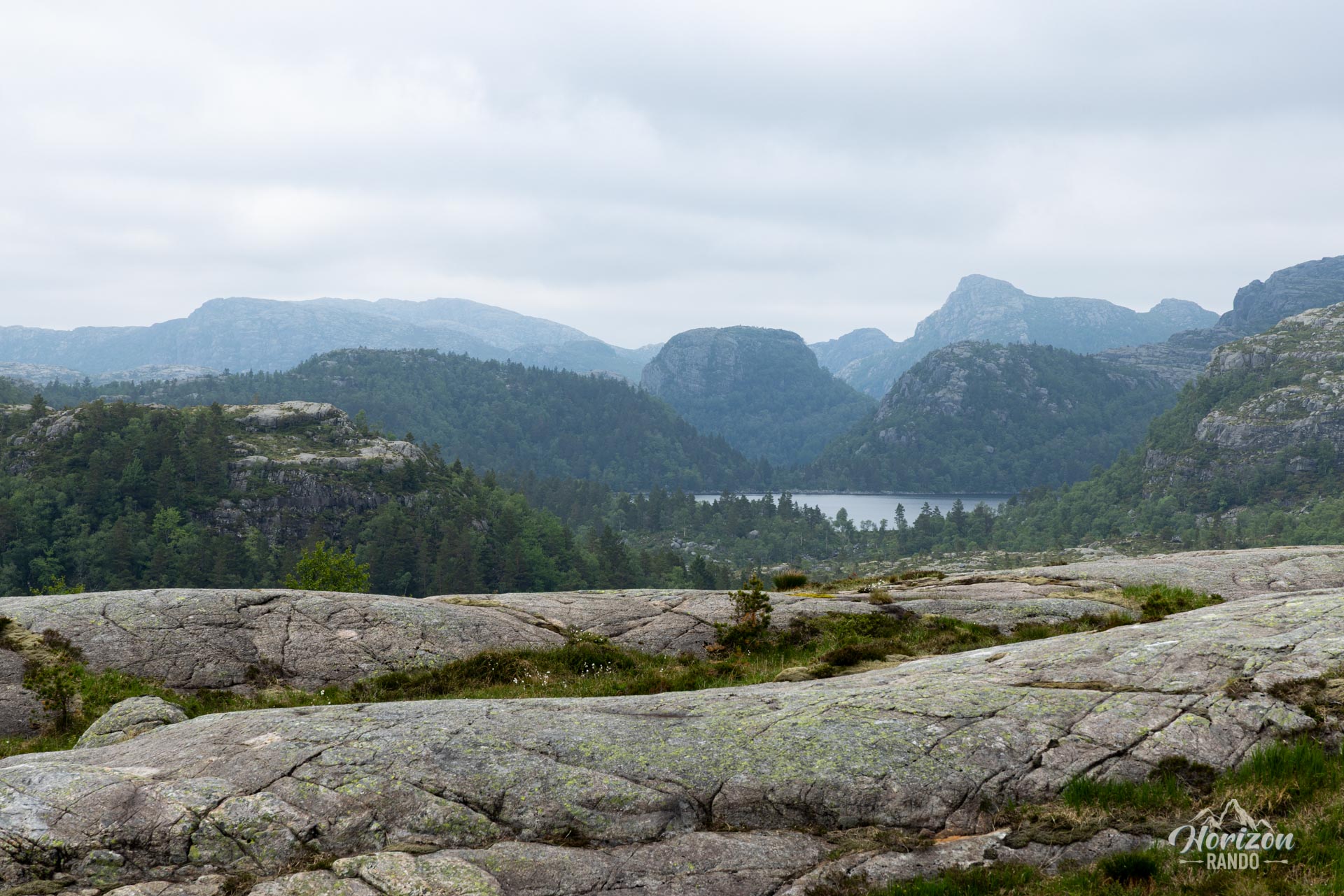
- A route with limited visual interest until you approach the final plateau. The panorama only really reveals itself upon arrival.
Practical information
Access
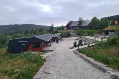
There is a large paid parking lot at the trailhead (indicative price in 2025: NOK 250).
Best time to go
From May to October, on average. See the Norway FAQ for more details. In winter (November to April), the hike is still possible but requires ice equipment (crampons essential) and extreme caution.
Photos
See all 11 photos →
More hikes to do in Norway
Nearby hikes























Printed from www.horizonrando.fr/en/norway/preikestolen/