






Prest Hike
Key facts about the hike
- Difficulty
- Moderate Hikes are rated from very easy to very hard: my difficulty scale
- Duration
- 2h45 Estimated time, short breaks included (photos, water, snacks), picnic not included: how it is calculated
- Distance
- 4.5km
- out and back
- Elevation gain
- 550m
- Type of route
- Out and back
- Maximum altitude
- 1,365 m
- Vertiginous Five levels, depending on how exposed the route is: the levels in detail
- No
- Marked
- No
- Popularity
- Moderate
- County
- Vestland
- Start point
- 60.91805, 7.23098
- Activity
- Hiking
Hike overview
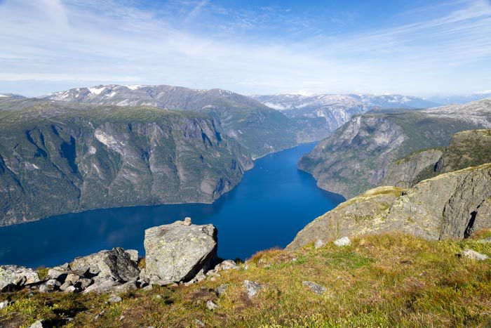
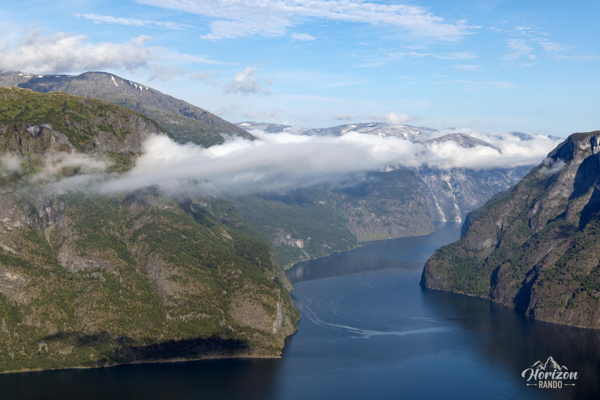
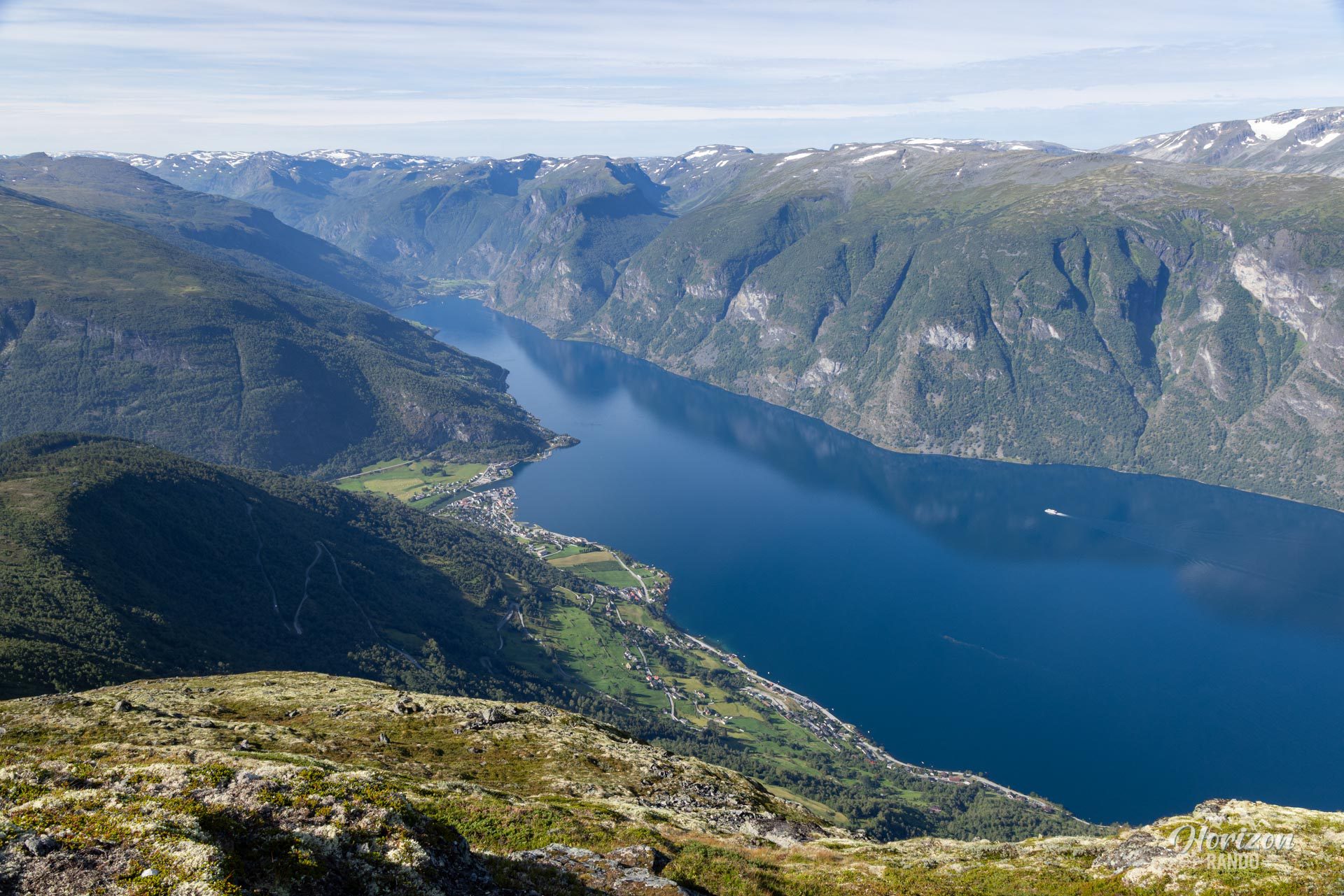
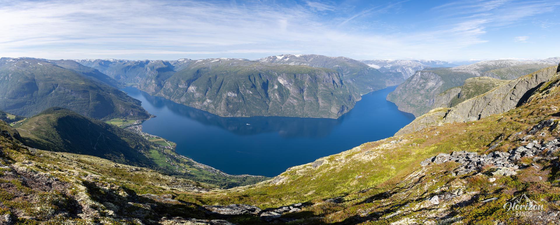
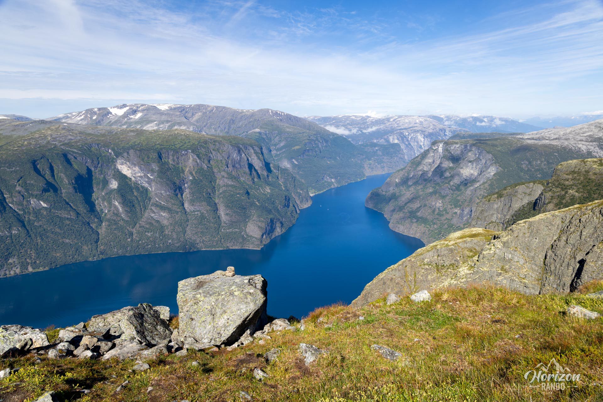
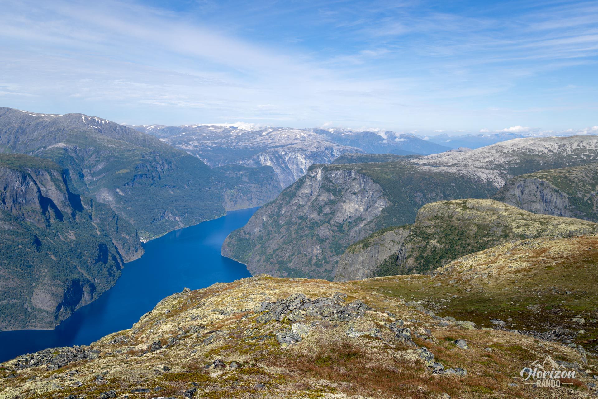
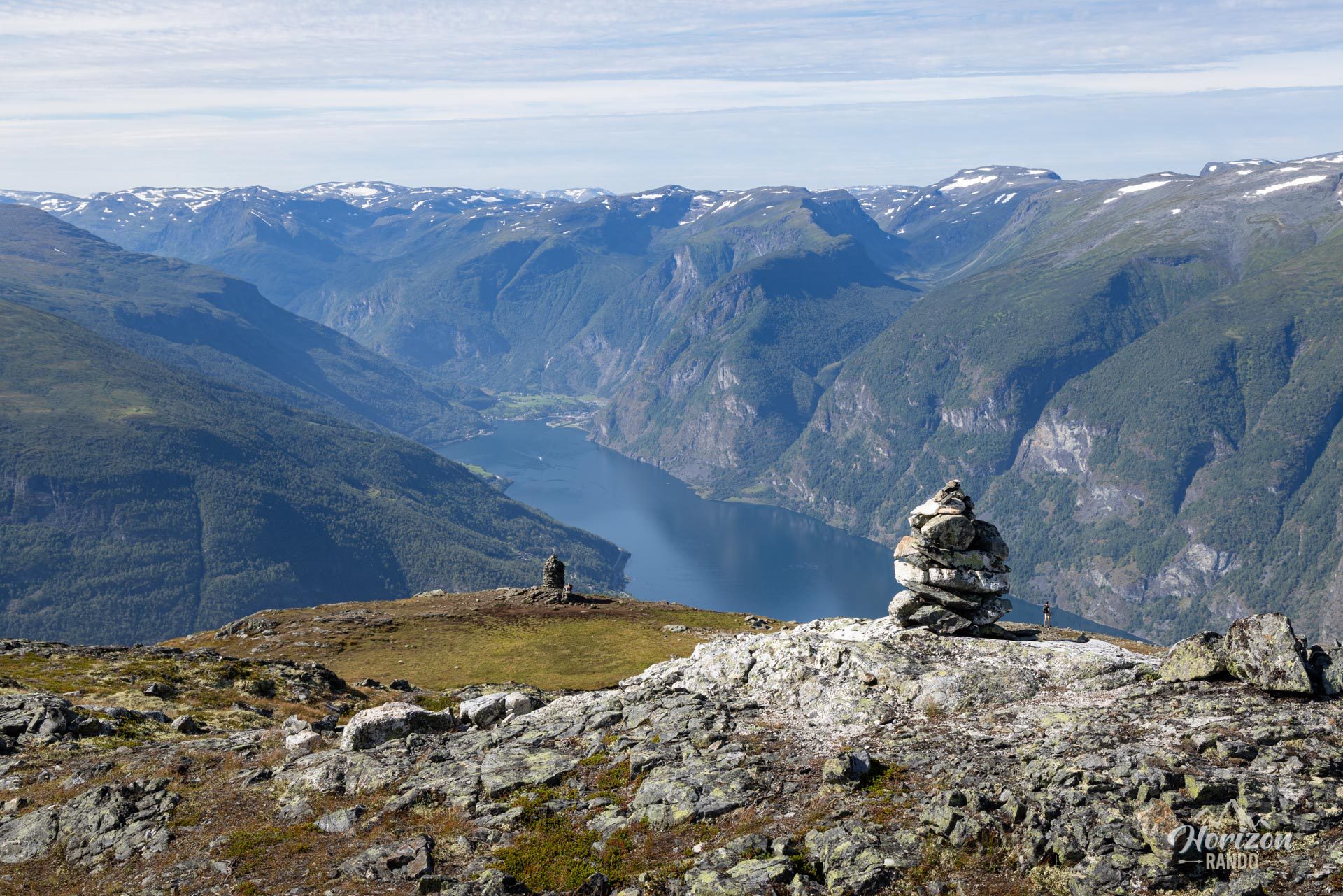
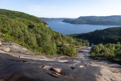
Discover the Prest hike in Norway, a short but intense climb offering spectacular views of the Aurlandsfjord, one of the arms of the Sognefjord, the country's longest fjord. Located near Flåm, this hike leads to the Røyrgrind (1,363 m) viewpoint, rather than the geographical summit of Prest (1,478 m). Hikers are quickly rewarded for their efforts with magnificent landscapes and total immersion in one of Norway's most beautiful fjords.
Map and elevation profile of the hike
Prest Hike
Difficulties of the hike
The route to the Røyrgrind viewpoint is not technically difficult. While the trail is clearly visible, it is unmarked and quite steep in some sections. In clear weather, it is easy to find your way, but the weather in Norway can change suddenly. Therefore, it is essential to bring a reliable navigation device: A GPS (such as a smartphone or watch) with a GPX track and/or a paper map with a compass are especially important in case of sudden fog or low clouds.
What you'll love
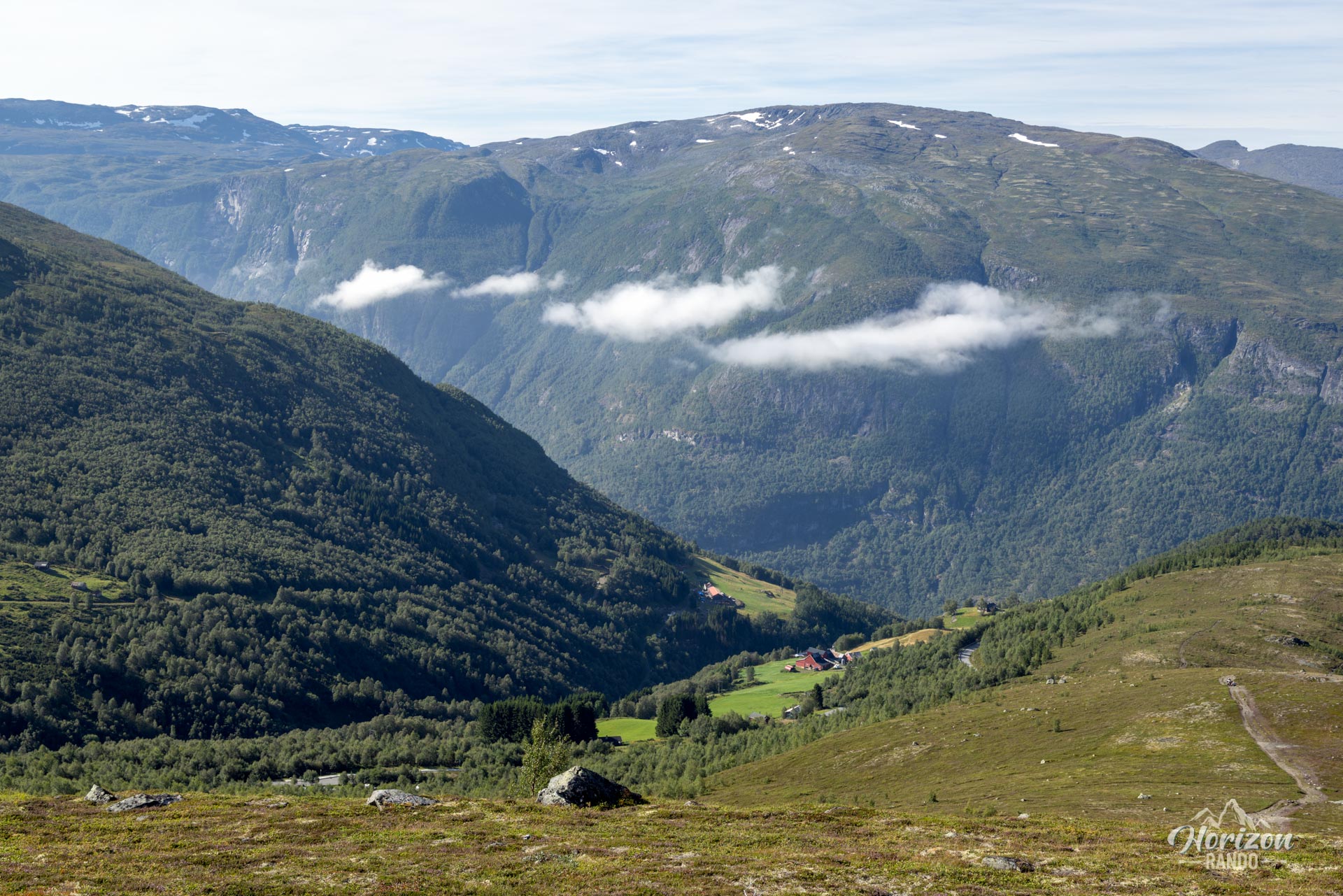
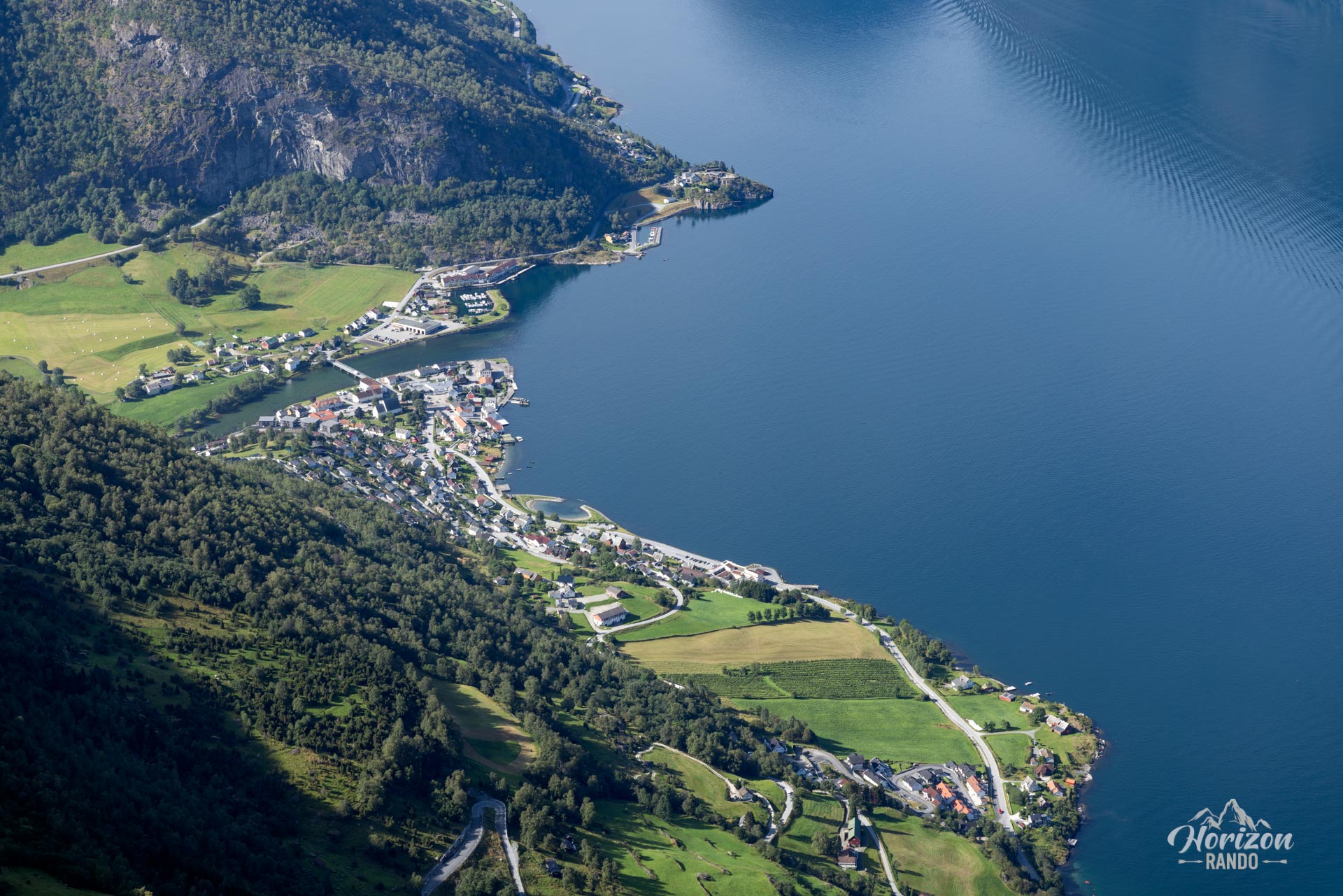
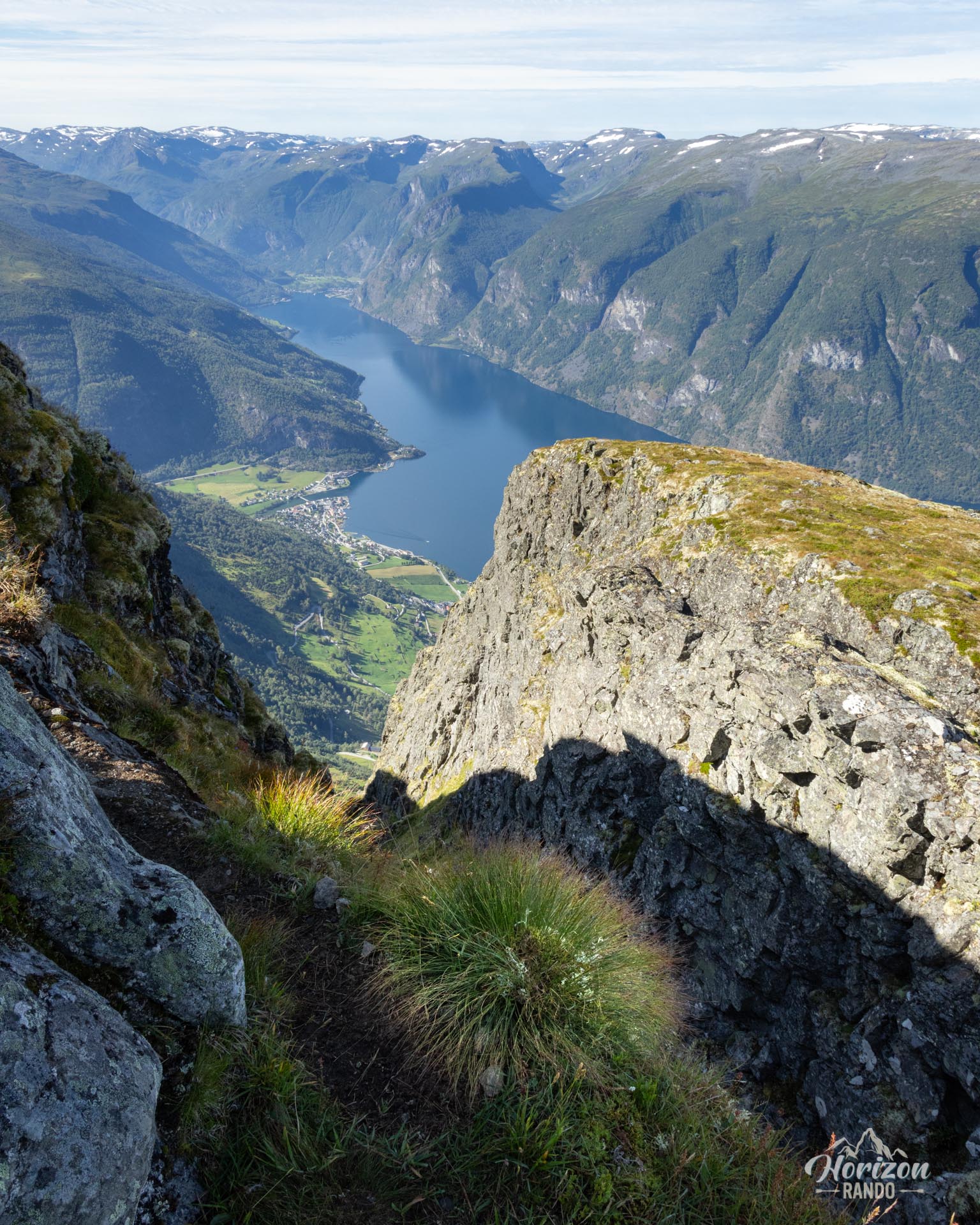
- Spectacular panoramic views throughout the climb, with sweeping vistas of the Aurlandsfjord, the village of Aurlandsvangen, and the surrounding peaks.
- An intermediate viewpoint on a small plateau, accessible in just 20 minutes for those who want to take a break or go on a shorter hike.
- The peaceful atmosphere of the site, far from the crowds, and the opportunity to watch the evening light illuminate the fjord make for an even more memorable experience.
Practical information
Access
The hike begins at a small parking lot that can be accessed via the scenic Aurlandsfjellet Road, also known as the Snow Road. The lot has about 15 spaces and fills up quickly during the high season, even though the trail itself is not very busy.
Best time to go
From mid-June to September, on average. See the Norway FAQ for more details. Please note that the Aurlandsfjellet road itself is only open from June to October, depending on weather conditions.
Stegastein viewpoint
Located two kilometers before the trailhead when coming from Aurlandsvangen, this famous suspended viewpoint also offers impressive views of the fjord. This may slightly diminish the “wow” effect of the hike, as the perspective is quite similar. However, the immersive experience on the trail, far from the tourist hustle and bustle, remains unique and much more authentic.
Photos
See all 10 photos →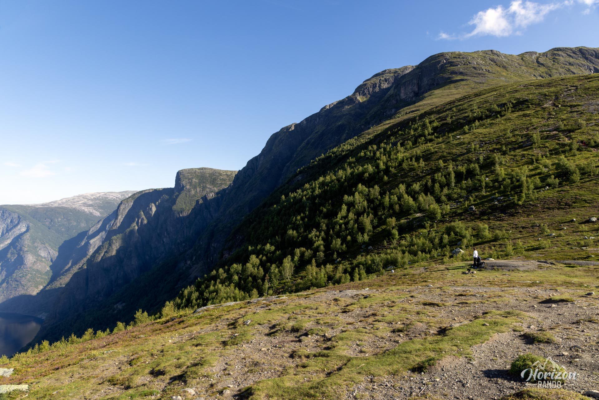
More hikes to do in Norway
Nearby hikes































Printed from www.horizonrando.fr/en/norway/prest/