





Helgehornet Hike
Key facts about the hike
- Difficulty
- Easy Hikes are rated from very easy to very hard: my difficulty scale
- Duration
- 1h45 Estimated time, short breaks included (photos, water, snacks), picnic not included: how it is calculated
- Distance
- 4.1km
- Elevation gain
- 370m
- Type of route
- Loop
- Maximum altitude
- 623 m
- Vertiginous Five levels, depending on how exposed the route is: the levels in detail
- No
- Marked
- Yes
- Popularity
- Low
- County
- Møre og Romsdal
- Start point
- 62.18570, 6.01887
- Activity
- Hiking
Hike overview
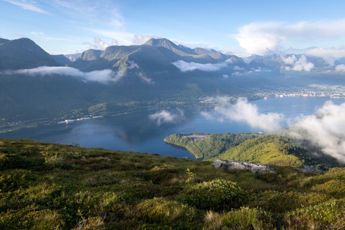
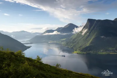
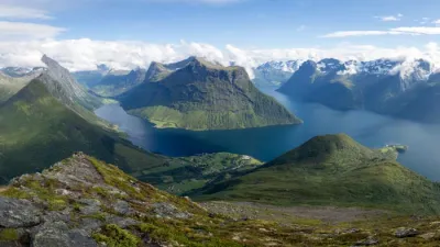
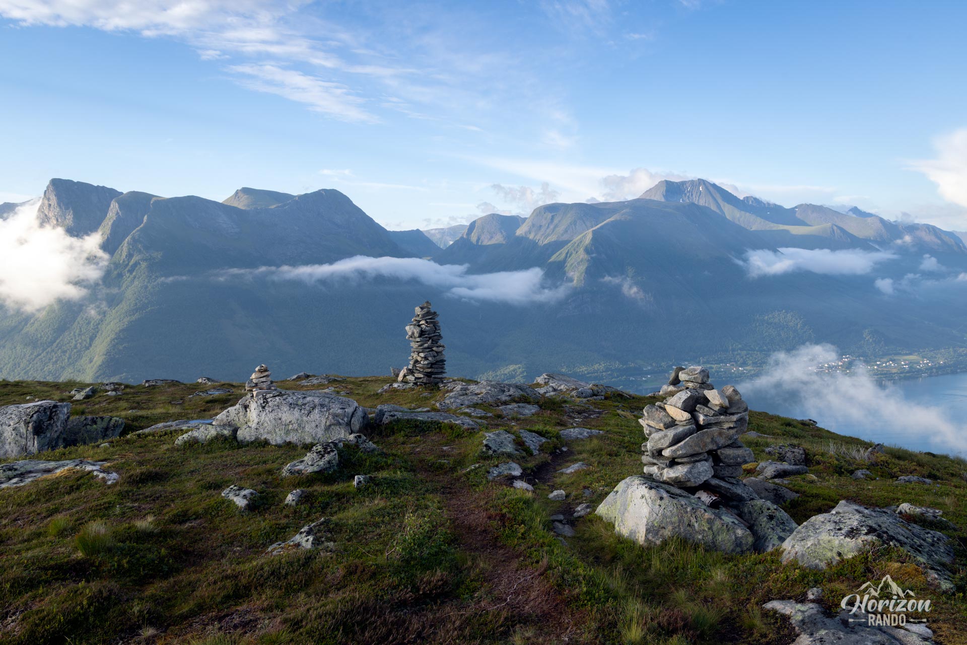
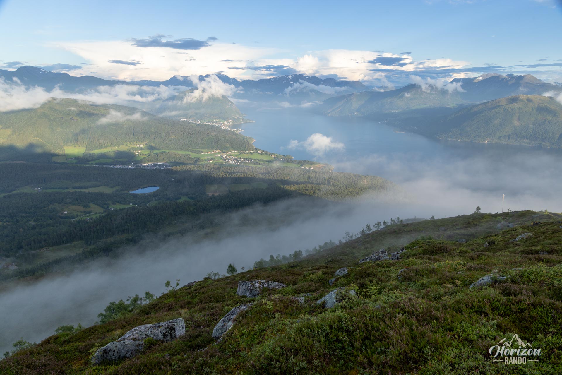
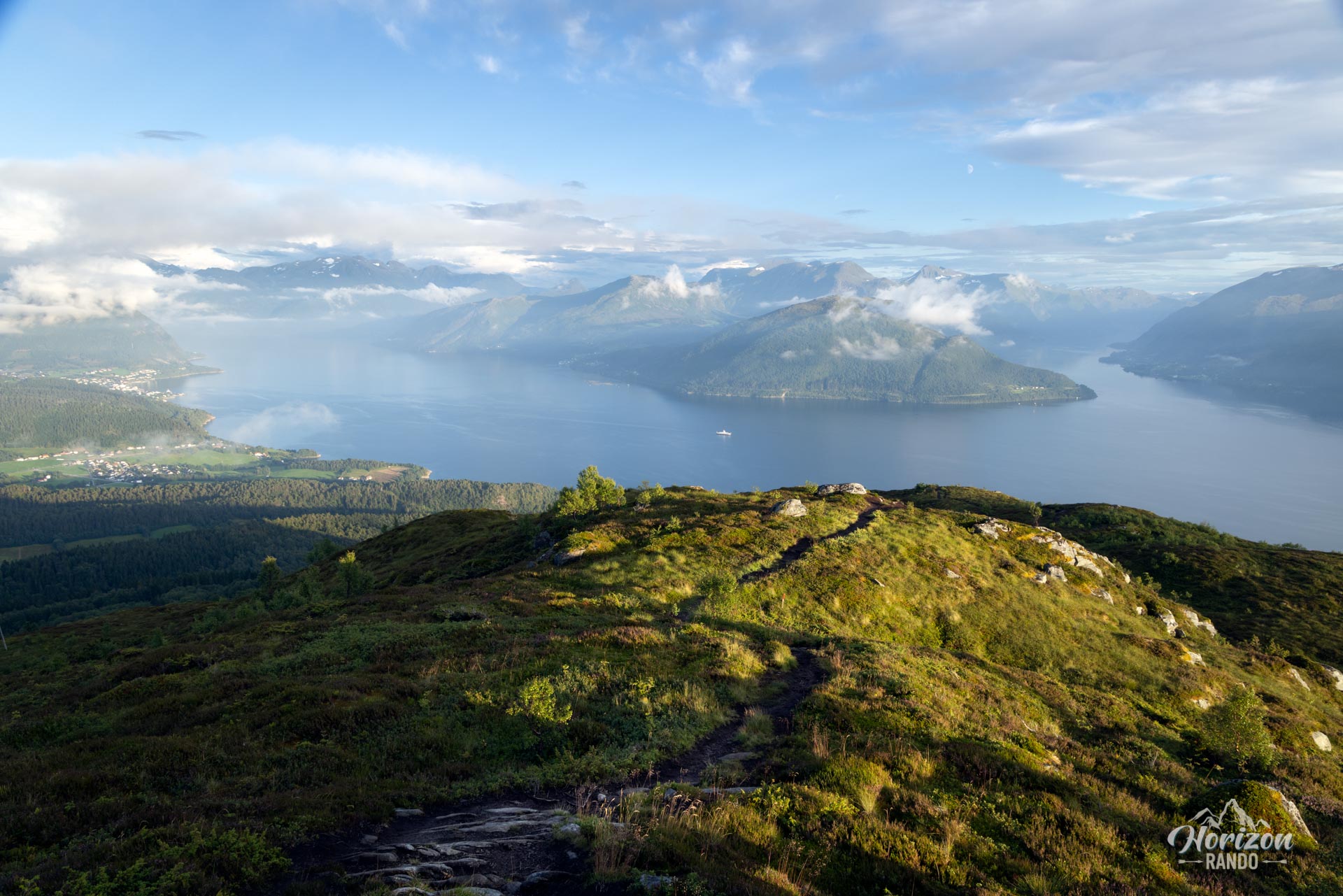
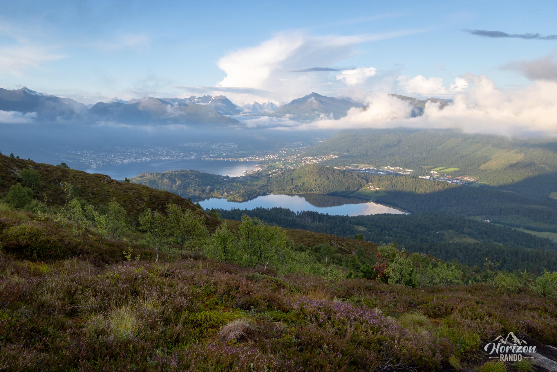
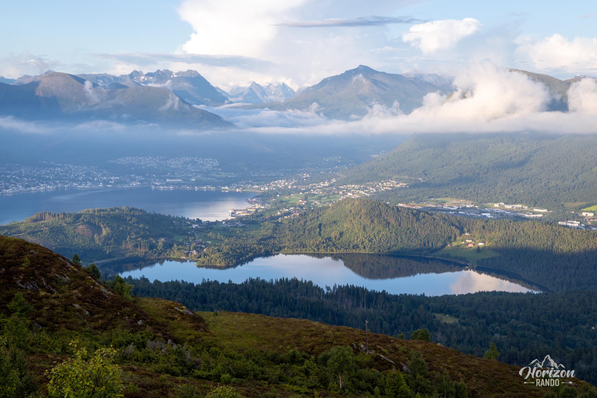
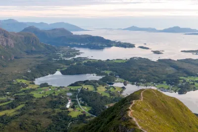
Helgehornet (623 m), a peak in the heart of the spectacular Sunnmøre Alps, is a true viewpoint overlooking the towns of Volda and Ørsta. Despite its modest elevation, its central location provides an exceptional, expansive panorama. Prepare to take in the splendor of the surrounding fjords and mountains, which offer some of the most beautiful views in the region.
Map and elevation profile of the hike
Helgehornet Hike
Difficulties of the hike
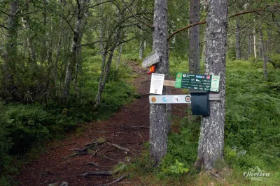
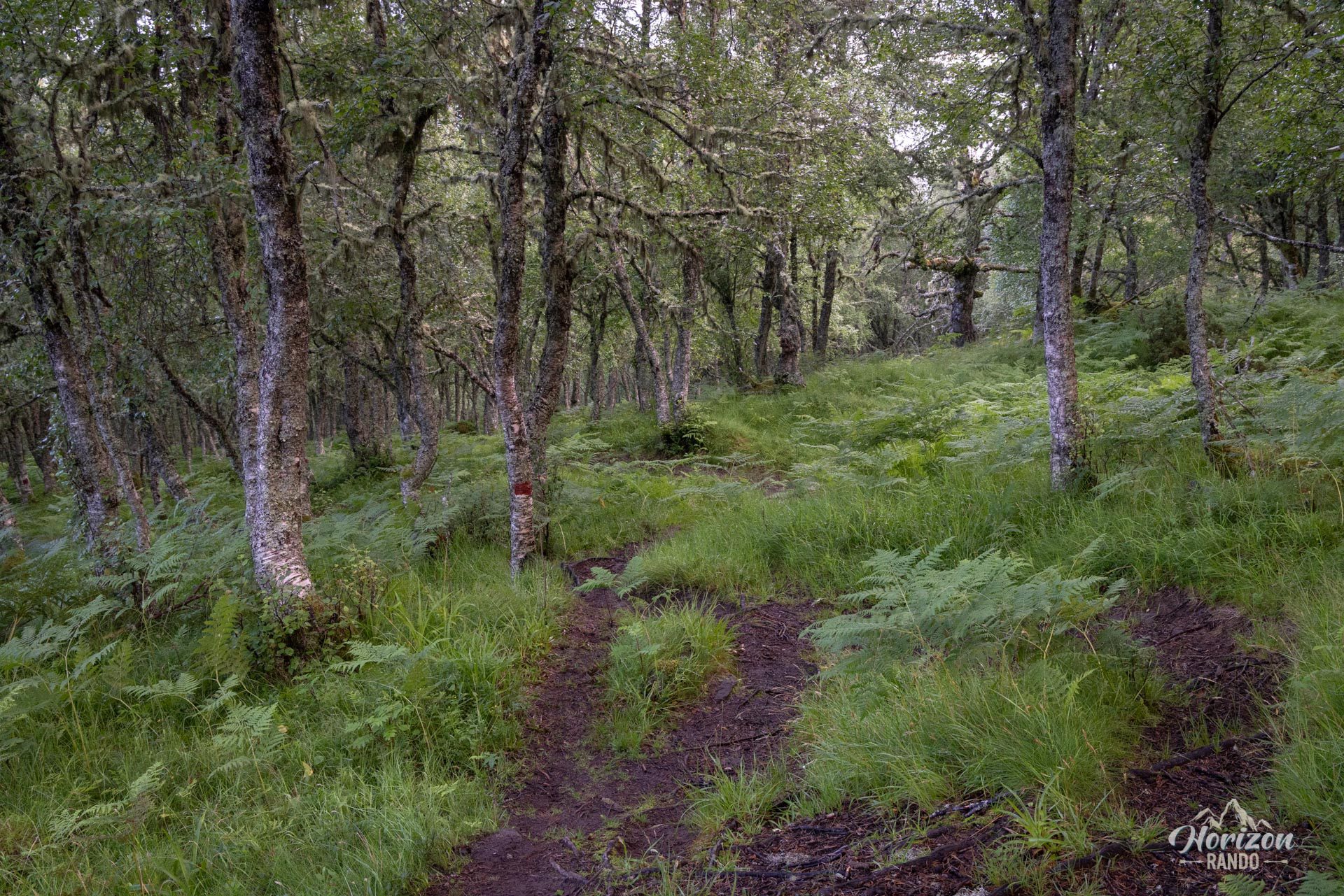
The trail begins at the shooting range and continues along a forest path uphill. Soon, the vegetation thins out, revealing the moorland and the majestic contours of the fjords below.
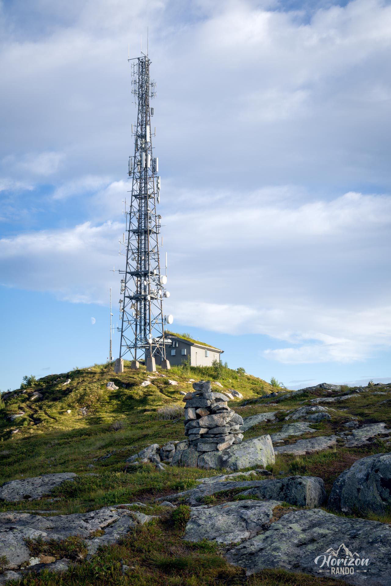
The trail is clearly visible and well-marked for most of the route, and it does not present any major technical difficulties. However, in wet weather, some wooded sections can become muddy and slippery, requiring extra caution. Thanks to the trail's high starting point, the climb is not overly strenuous. It has a steady slope to the summit, which is marked by an antenna visible from afar.
What you'll love
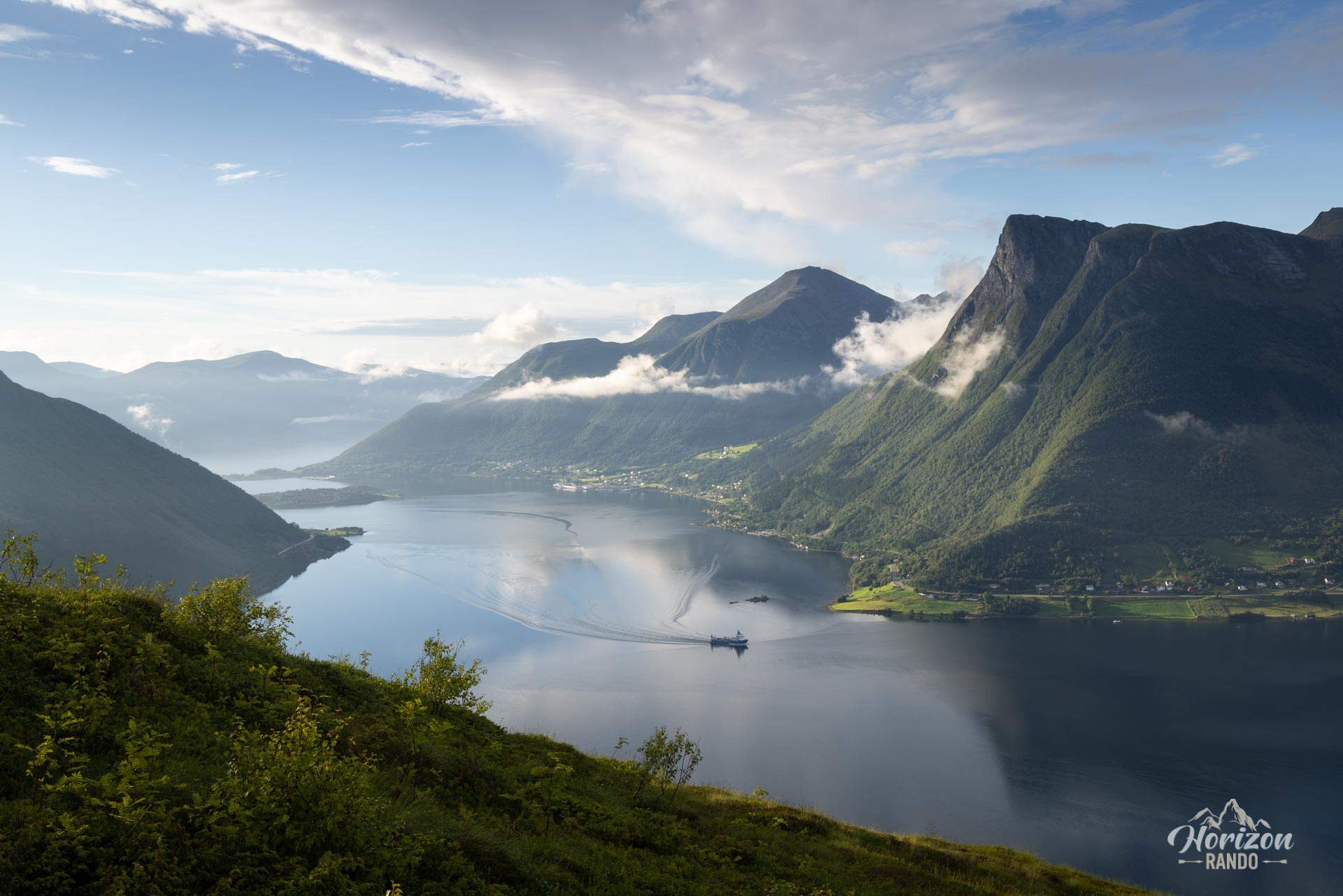
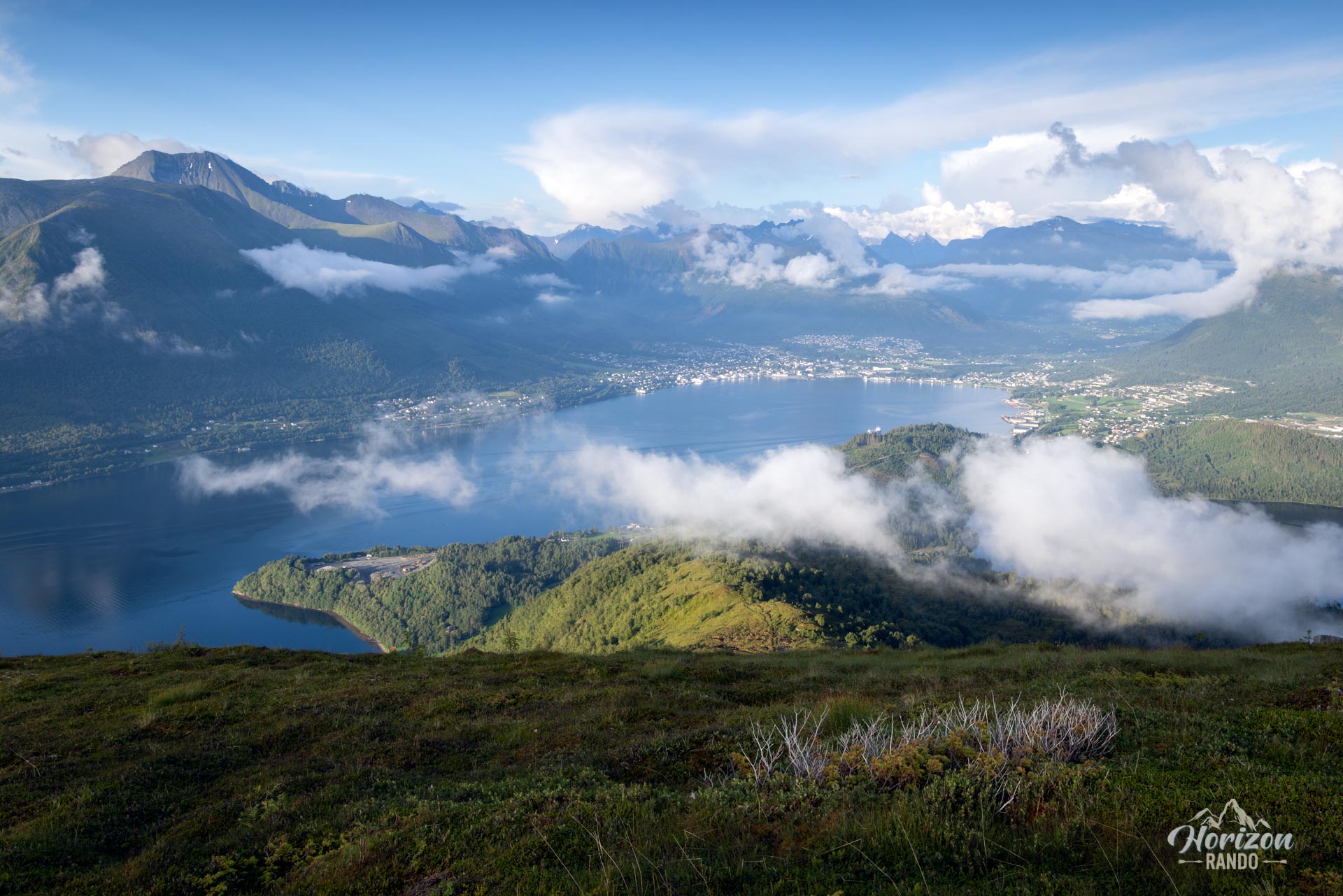
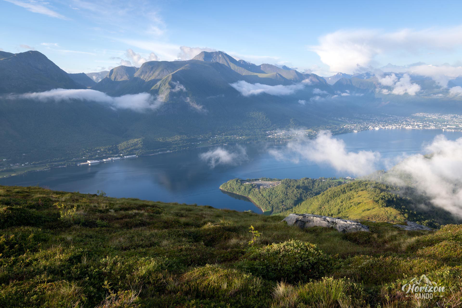
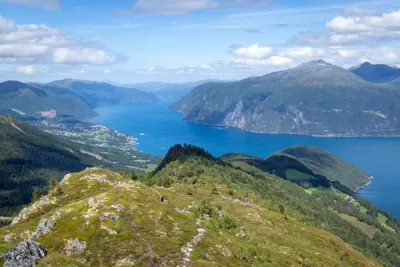
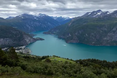
- An impressive 360° panorama: from the summit, take in the spectacular view of the deep waters of Voldsfjorden and Ørstafjorden, the sharp peaks of the Sunnmøre Alps, and the towns of Volda and Ørsta.
- A circular route on a generally well-marked trail, making it easy to find your way around.
- Immerse yourself in nature: far from the crowds, Helgehornet offers a moment suspended in time—a setting conducive to contemplation and rejuvenation.
Practical information
Direction of the route
You can complete the circuit in either direction; there is no significant difference. Simply follow your instincts or the light of the moment.
Best time to go
From May to October, on average. See the Norway FAQ for more details.
Please note
A communications antenna and a technical building stand at the summit. Although they are evidence of human presence, they do not detract from the immensity and beauty of the surrounding panorama.
Photos
See all 12 photos →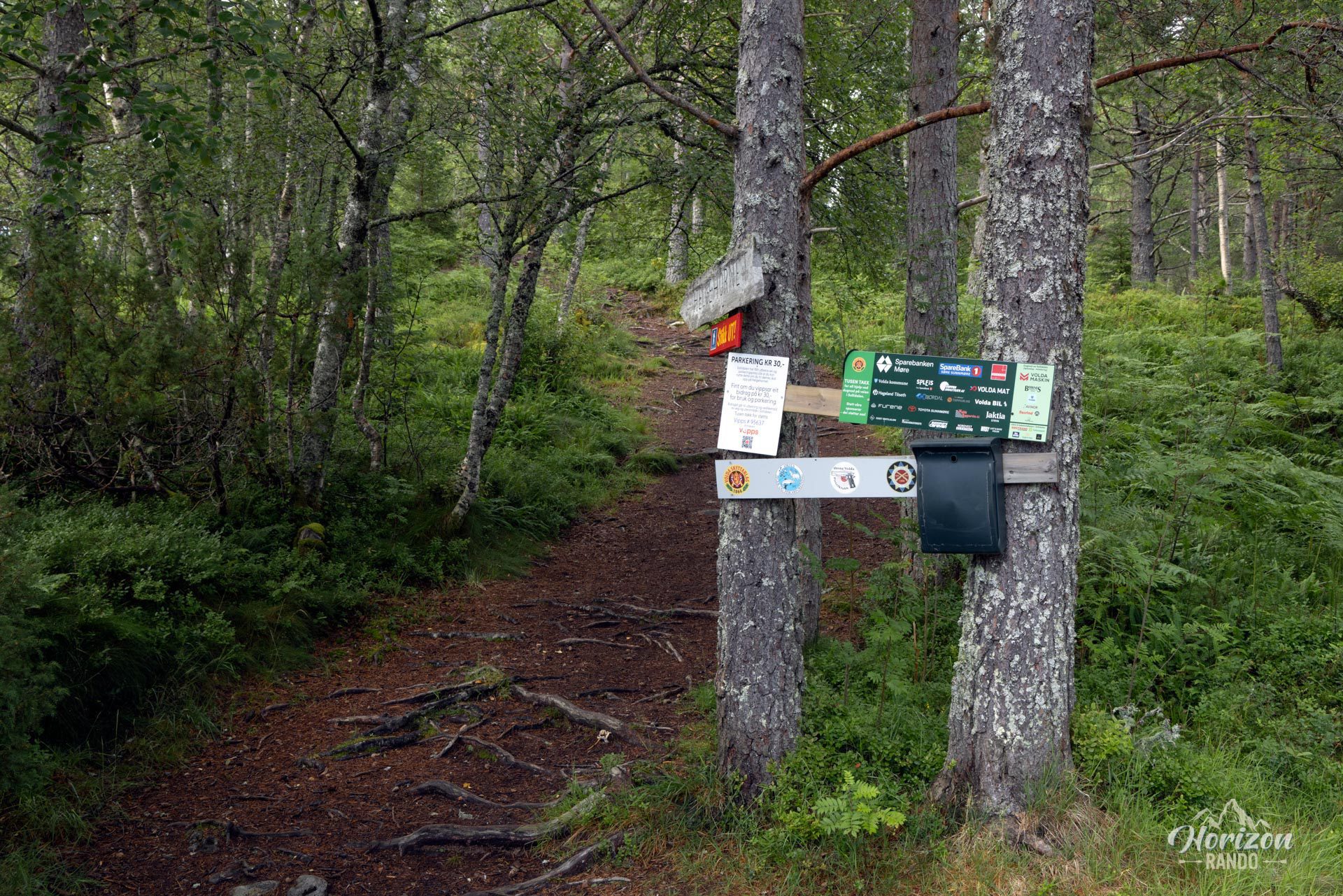
More hikes to do in Norway
Nearby hikes




















Printed from www.horizonrando.fr/en/norway/helgehornet/