






Sokkanuten Hike
Key facts about the hike
- Difficulty
- Easy Hikes are rated from very easy to very hard: my difficulty scale
- Duration
- 2h Estimated time, short breaks included (photos, water, snacks), picnic not included: how it is calculated
- Distance
- 4.4km
- Elevation gain
- 350m
- Type of route
- Loop
- Maximum altitude
- 340 m
- Vertiginous Five levels, depending on how exposed the route is: the levels in detail
- Slightly
- Marked
- Yes
- Popularity
- Low
- County
- Rogaland
- Start point
- 58.91930, 6.07880
- Activity
- Hiking
Hike overview
The Sokkanuten hike in southwestern Norway is a spectacular yet little-known alternative to the region's classic trails. Far from the crowds of the more popular trails, this loop trail charms visitors with its peaceful atmosphere, lush landscapes, and easy accessibility.
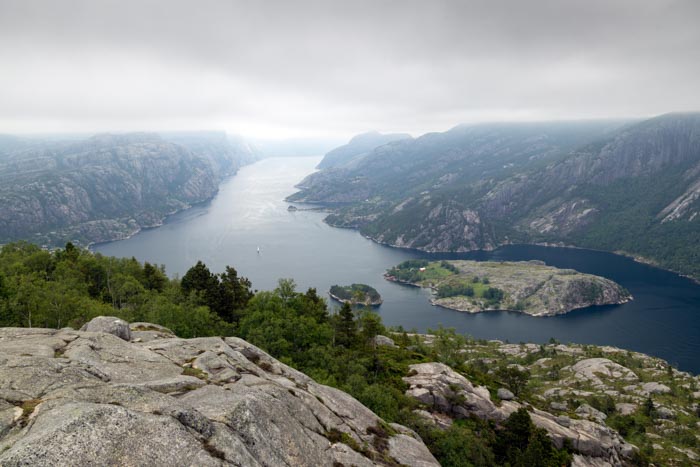
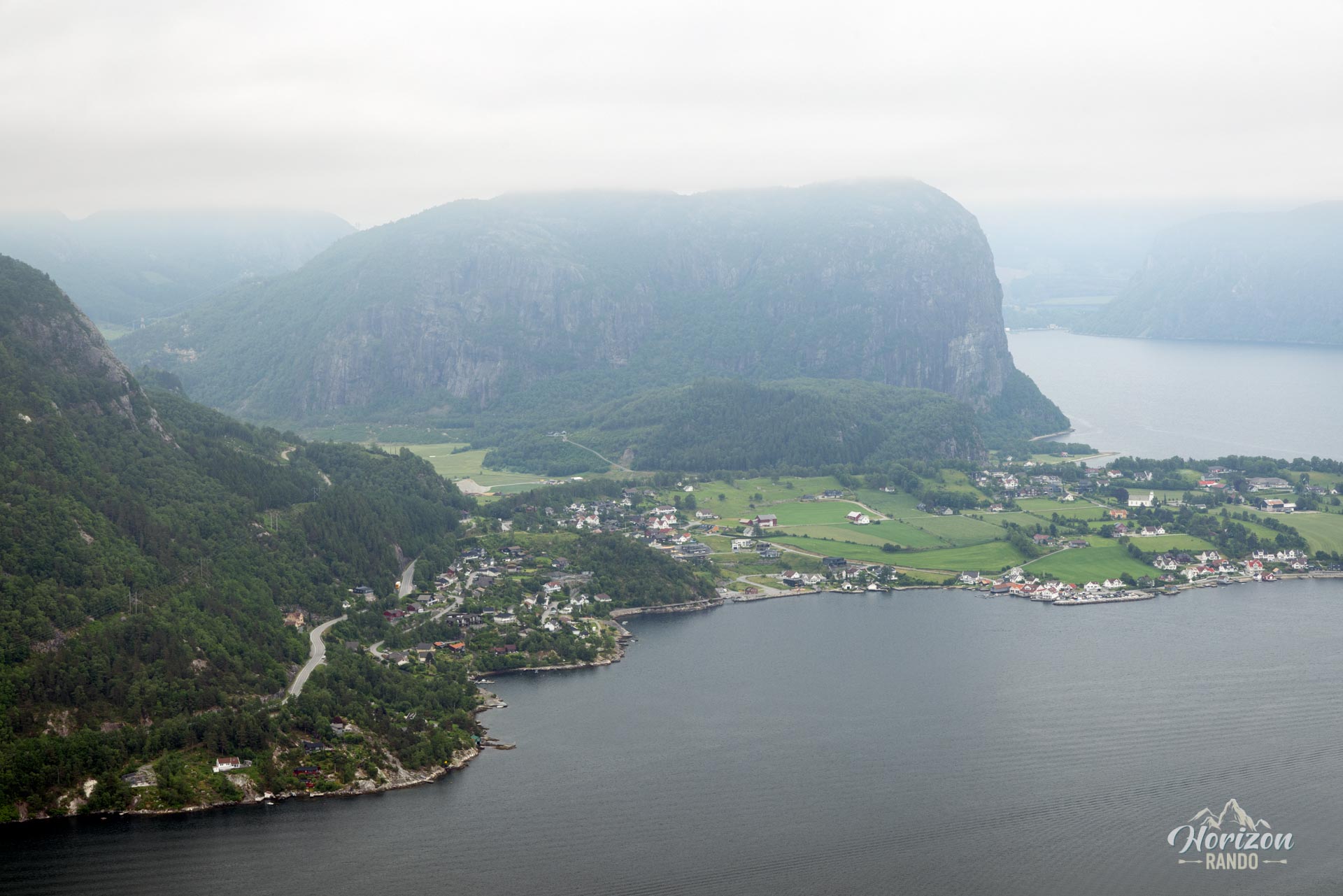
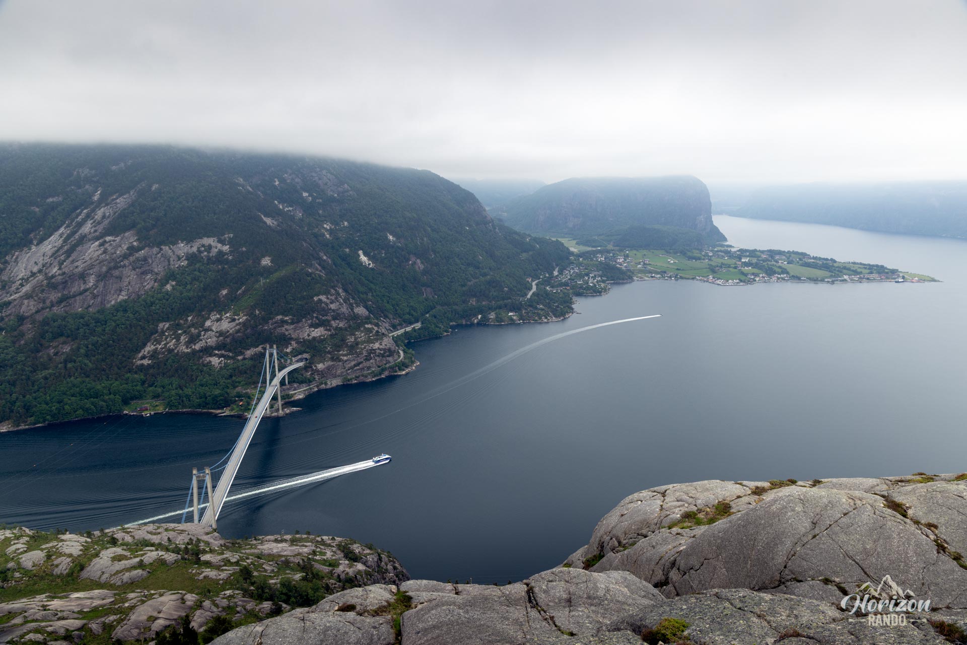
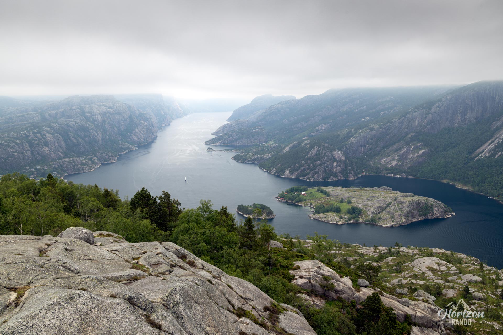
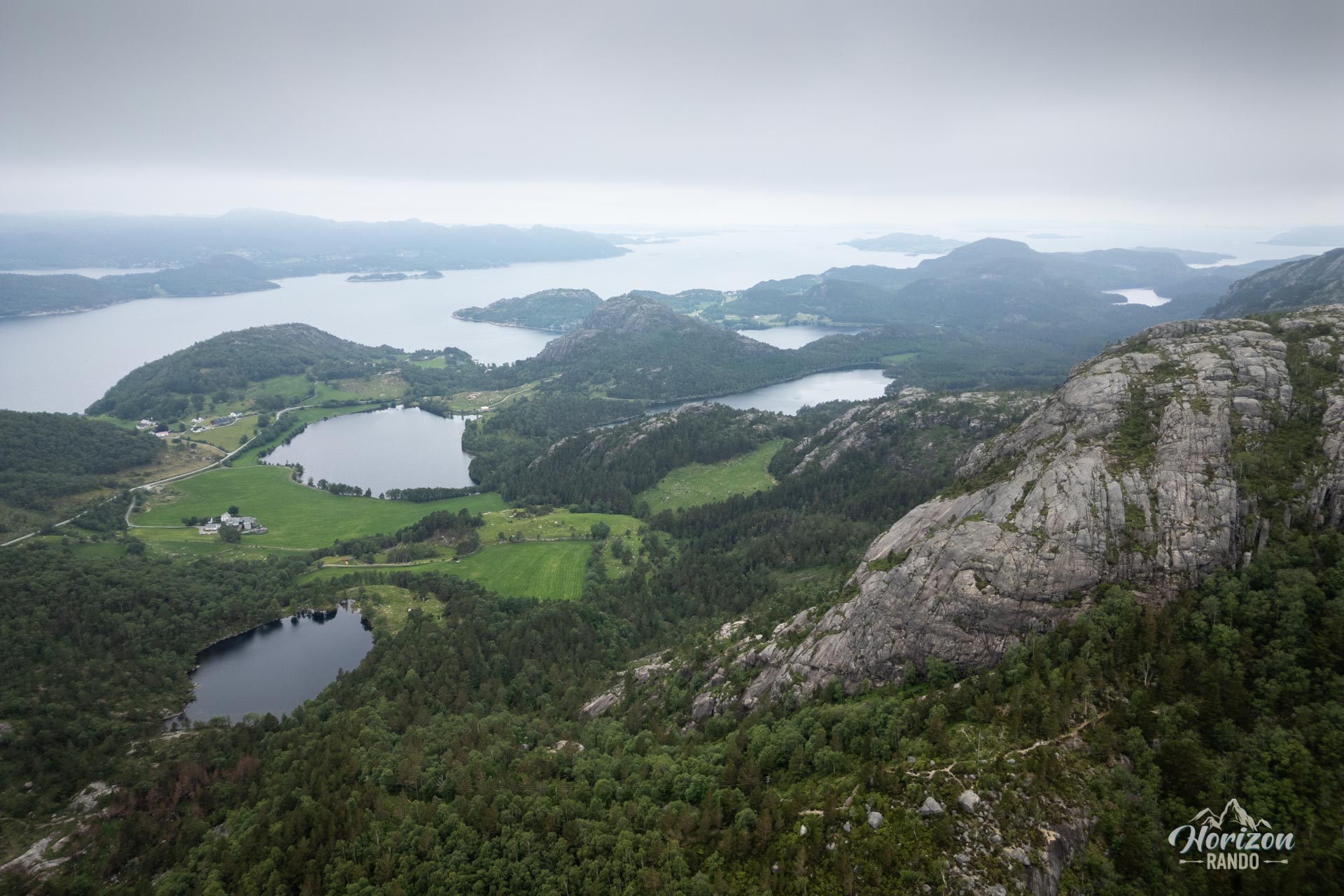
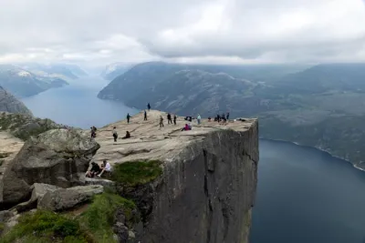
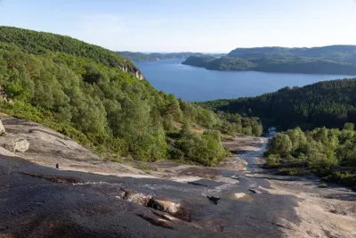
The hike offers an ideal introduction to the magic of the Lysefjord, providing breathtaking views of the fjord's waters, the scattered islands of the Ryfylke archipelago, and the mountain ridges sculpting the horizon.
Map and elevation profile of the hike
Sokkanuten Hike
Difficulties of the hike
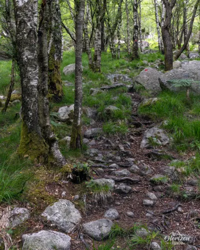
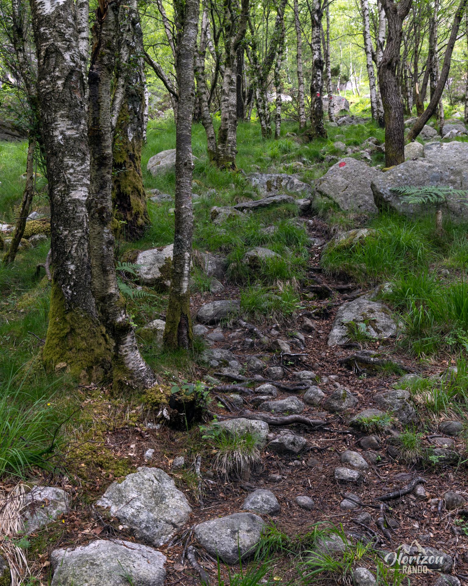
Climbing up Sokkanuten is generally easy and does not present any major technical challenges. The trail begins in a mixed forest, then transitions to birch trees as you approach the summit. The final section is rocky and sometimes steep and can be slippery in wet weather, so take extra care in wet conditions. Despite moderate traffic, the route forms a well-marked loop with a clear path.
What you'll love
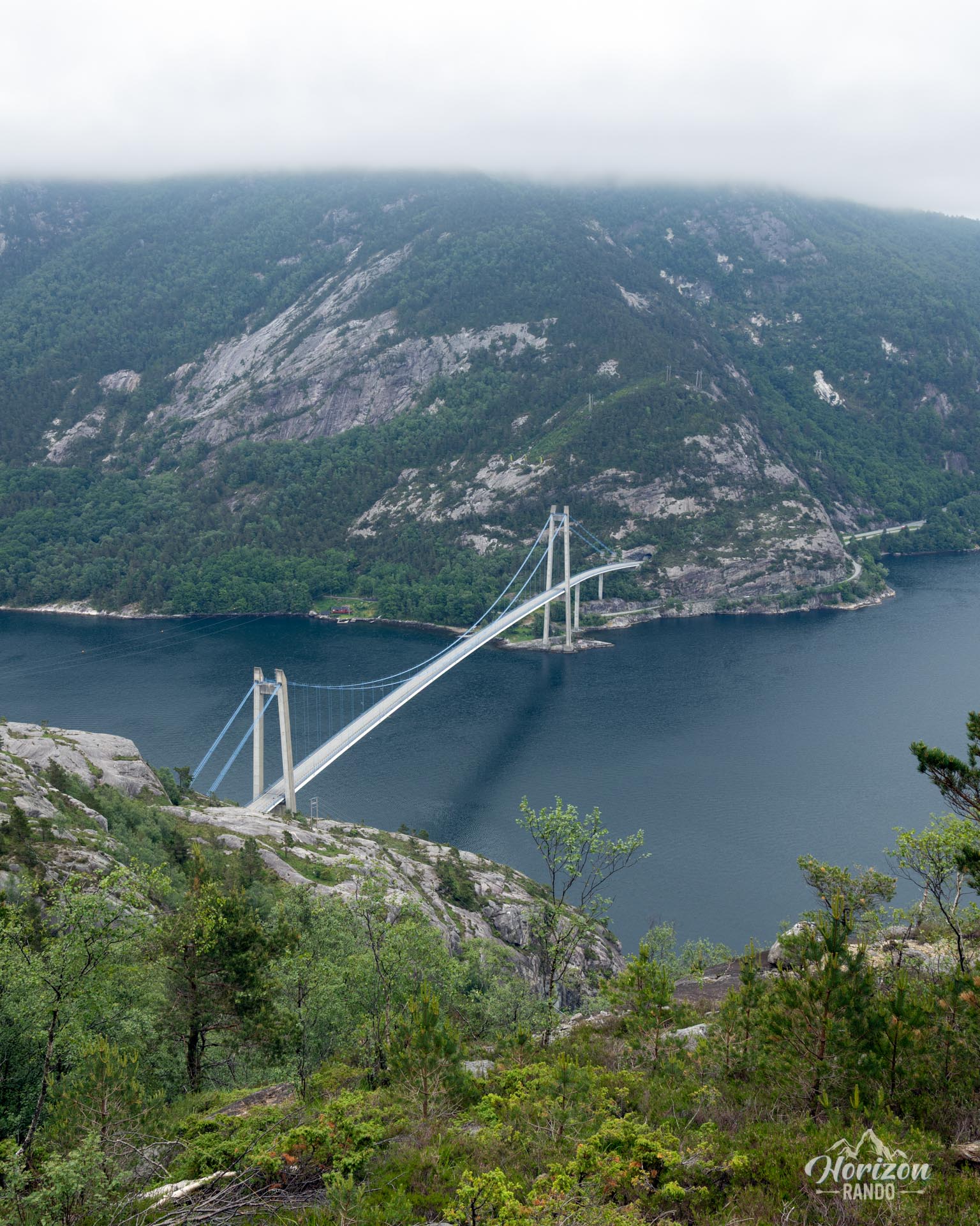
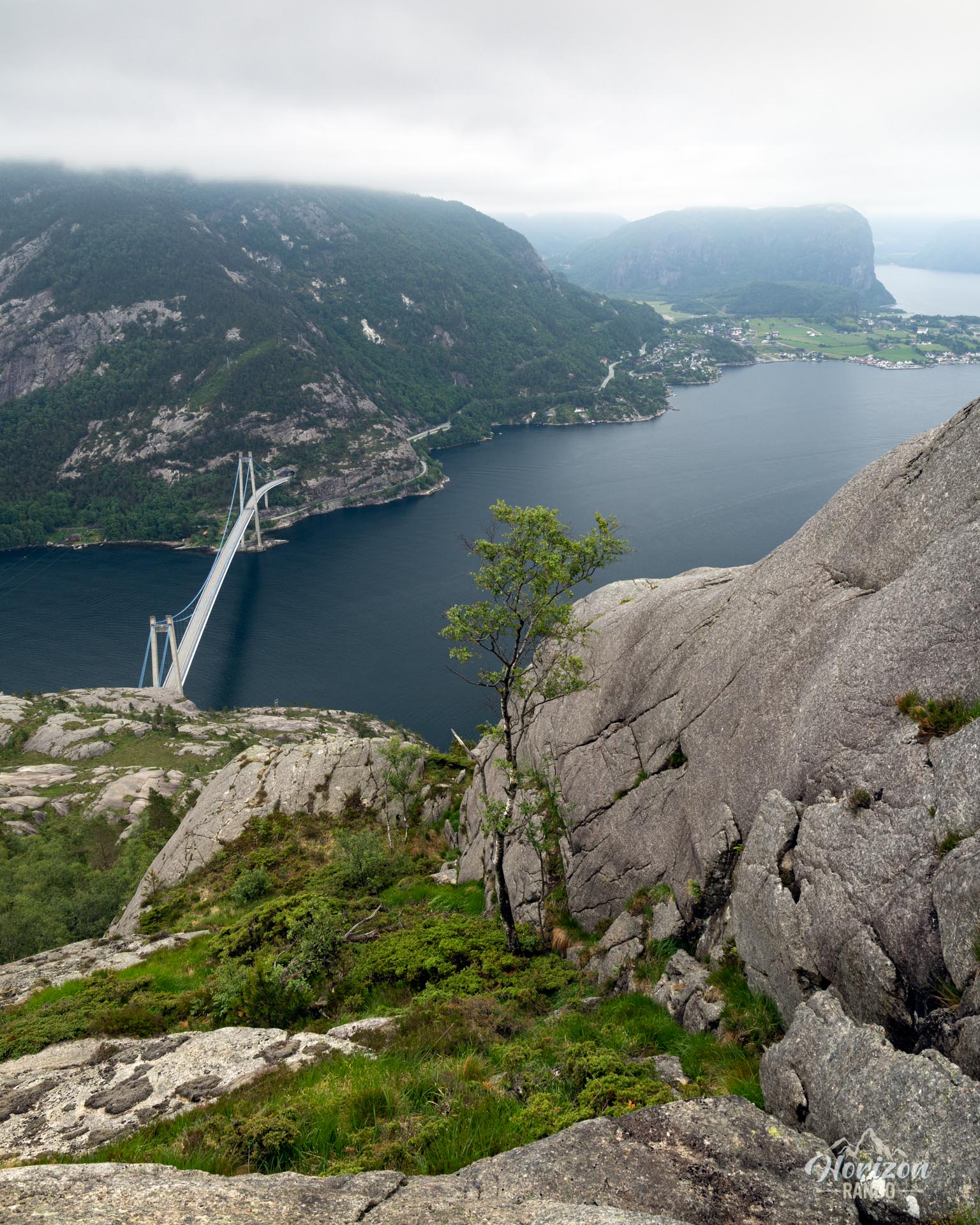
- A 360° view of the wonders of Rogaland: The Lysefjord, the Lysefjord Bridge, the Ryfylke archipelago, and rugged peaks stretching as far as the eye can see. This is a true natural viewpoint.
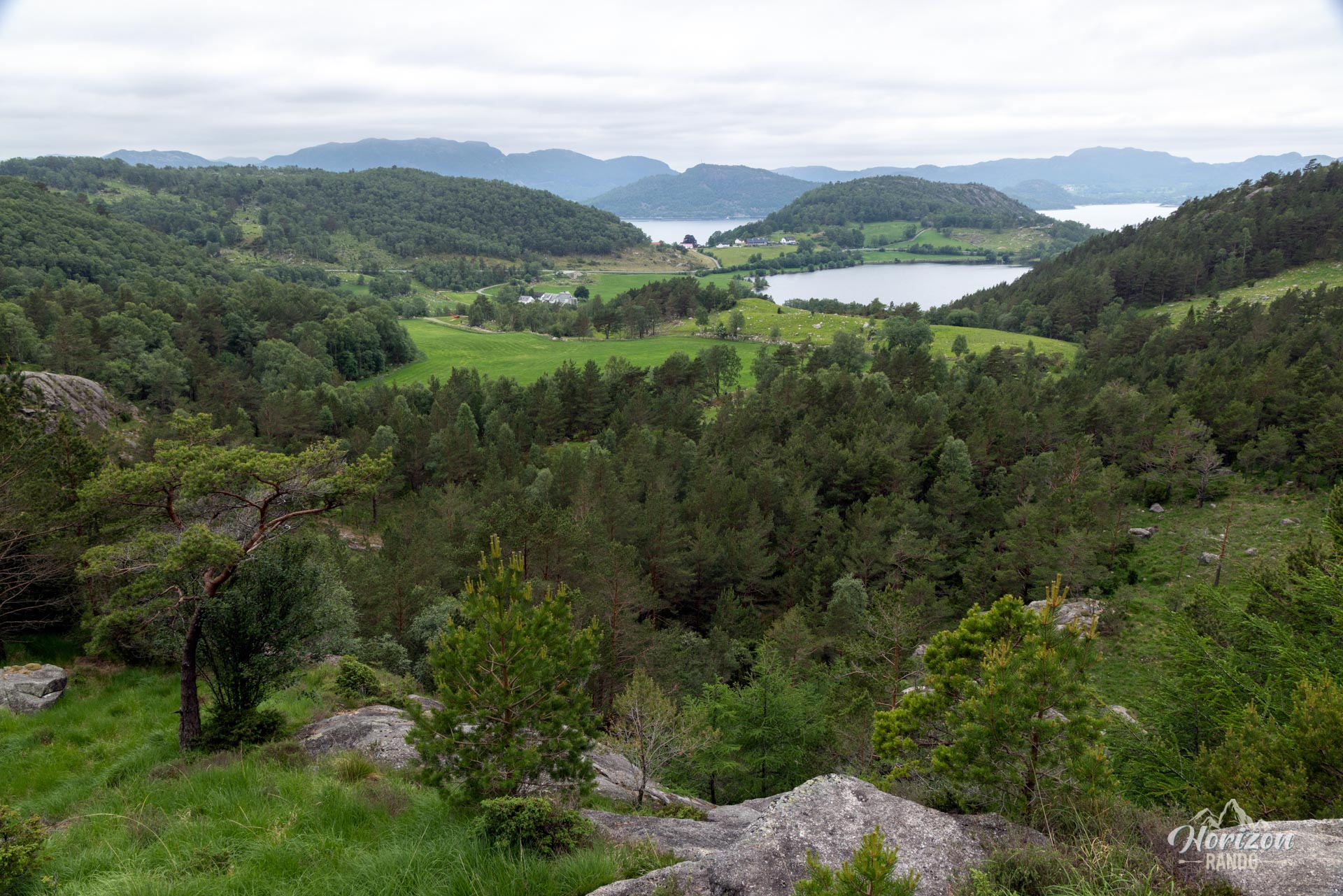
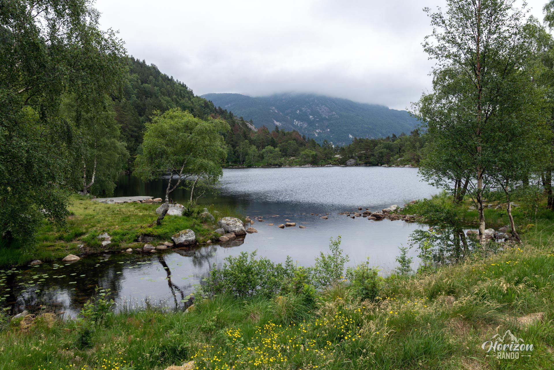
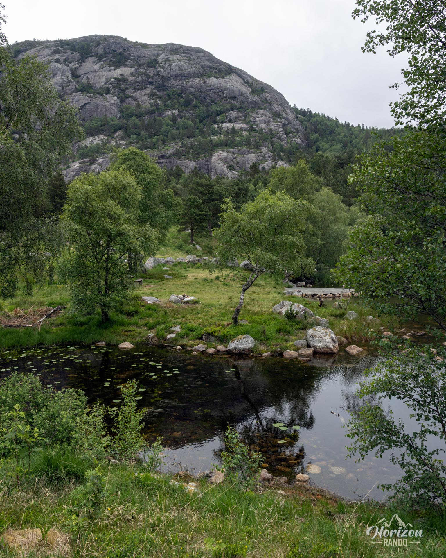
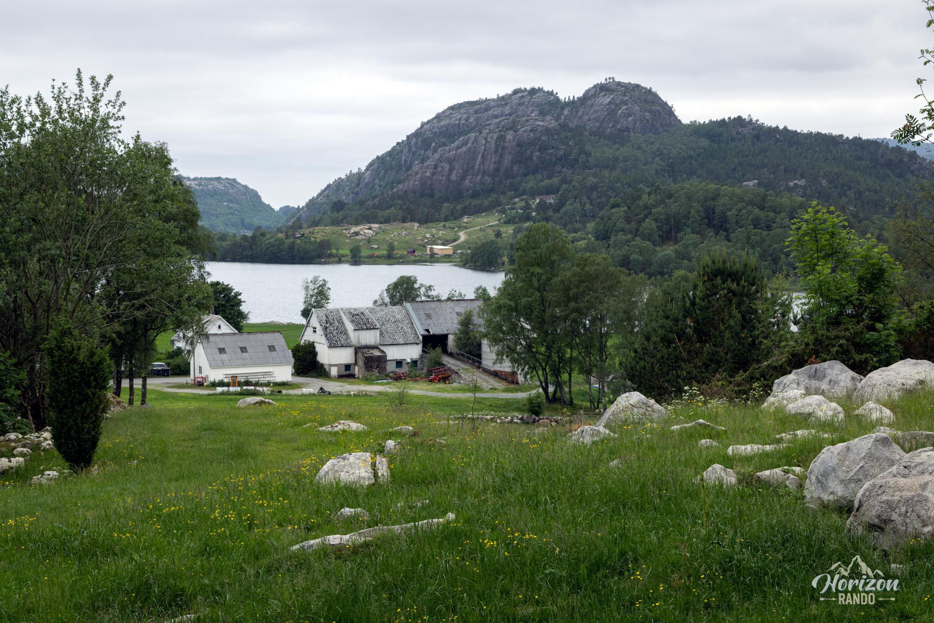
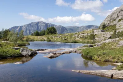
- A concentration of Norwegian landscapes: fjords, lakes, islands, forests, and steep mountains all come together in a short, accessible loop.
- A wild and intimate atmosphere, far from the crowds of Preikestolen, where you can enjoy one of the most beautiful fjord views in complete tranquility.
Practical information
Access
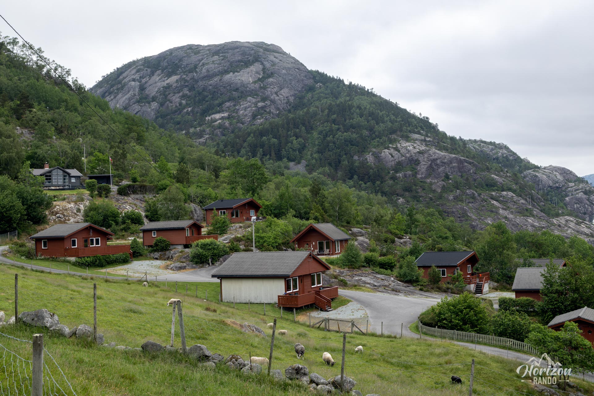
There is a small parking lot with about 10 spaces at the start. It is located at Lysefjorden Hyttegrend. The indicative price in 2025 is NOK 50.
Best time to go
From May to October, on average. See the Norway FAQ for more details.
Photos
See all 15 photos →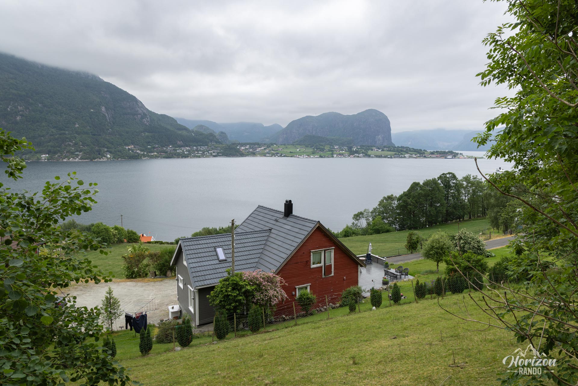


More hikes to do in Norway
Nearby hikes


























Printed from www.horizonrando.fr/en/norway/sokkanuten/