





Sollifjellet Hike
Key facts about the hike
- Difficulty
- Easy Hikes are rated from very easy to very hard: my difficulty scale
- Duration
- 2h15 Estimated time, short breaks included (photos, water, snacks), picnic not included: how it is calculated
- Distance
- 5.7km
- out and back
- Elevation gain
- 280m
- Type of route
- Out and back
- Maximum altitude
- 564 m
- Vertiginous Five levels, depending on how exposed the route is: the levels in detail
- Slightly
- Marked
- Partially
- Popularity
- Low
- County
- Rogaland
- Start point
- 58.96862, 6.23758
- Activity
- Hiking
Hike overview
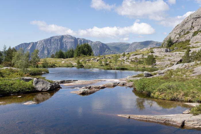
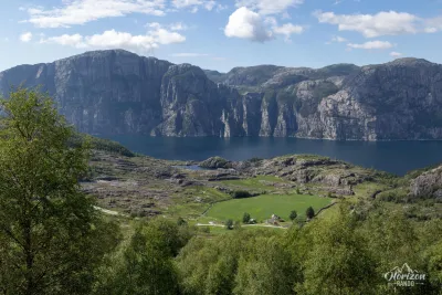
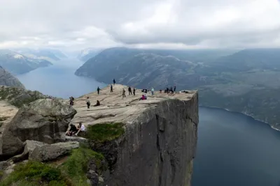
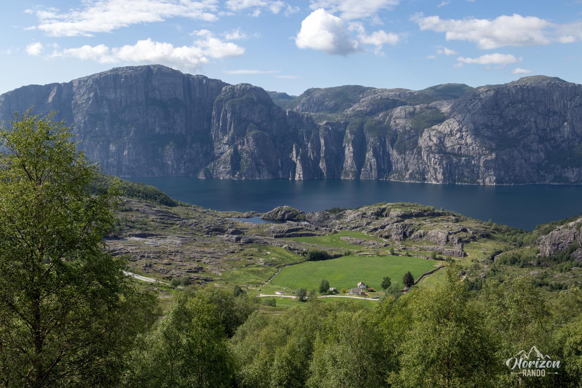
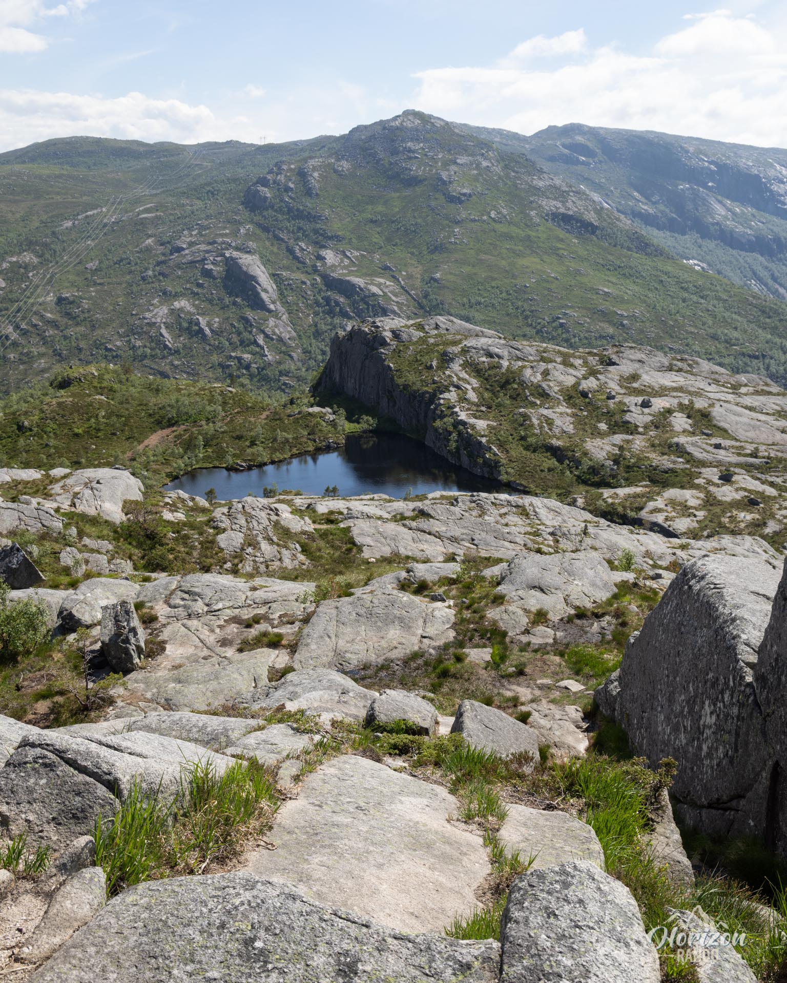
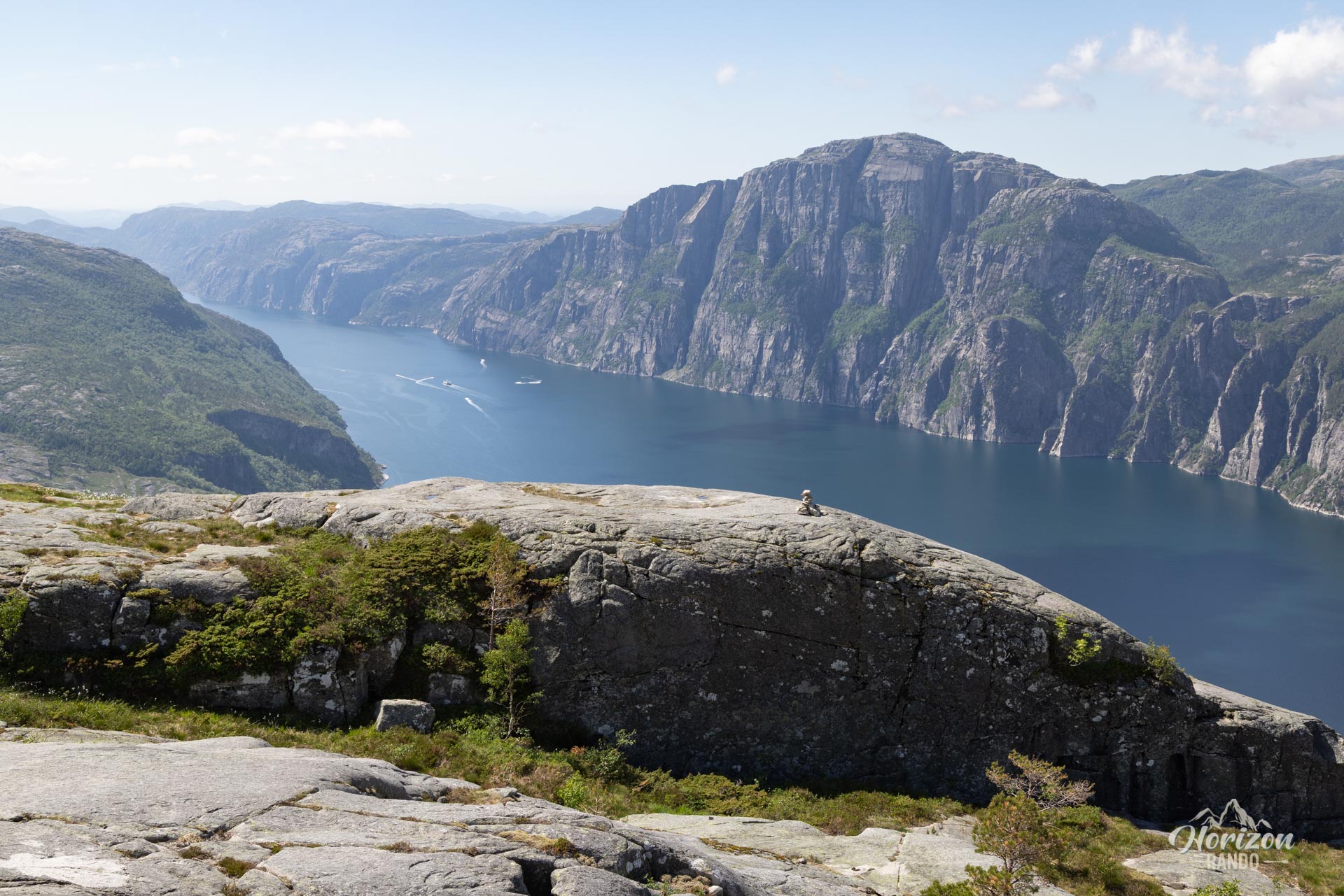
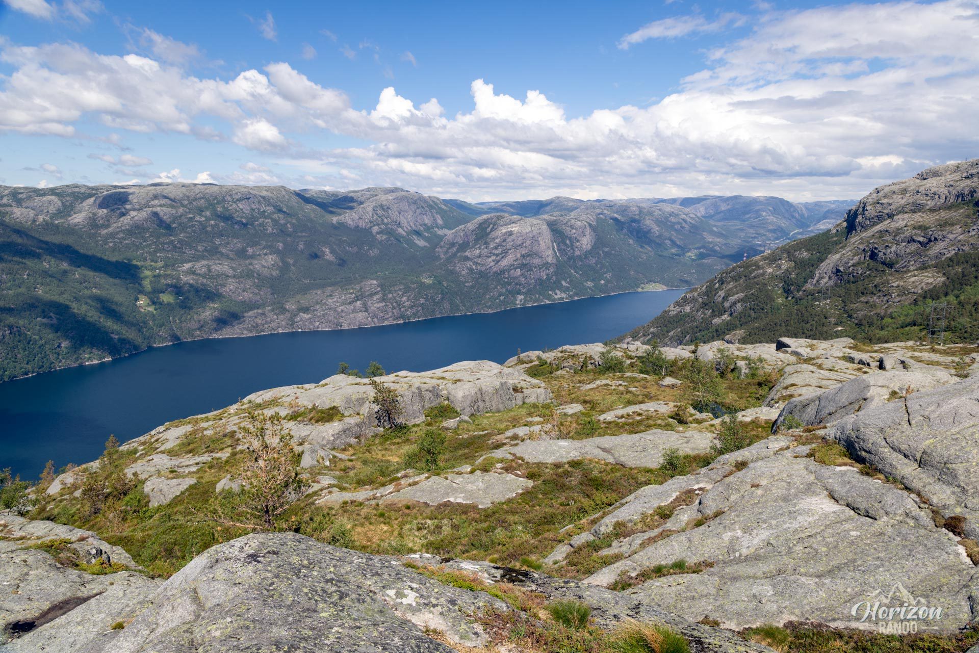
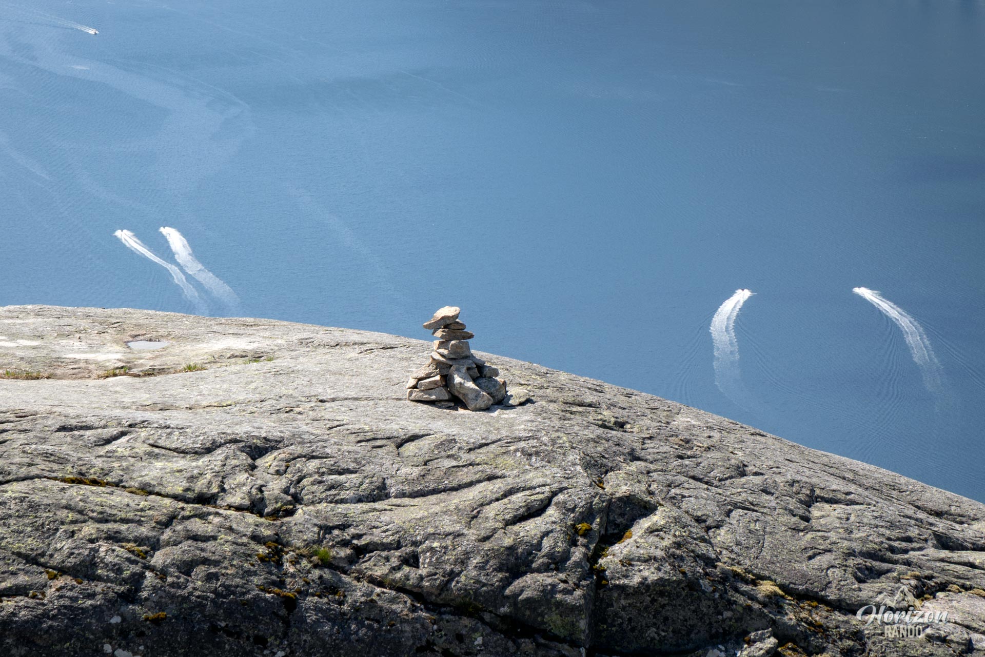
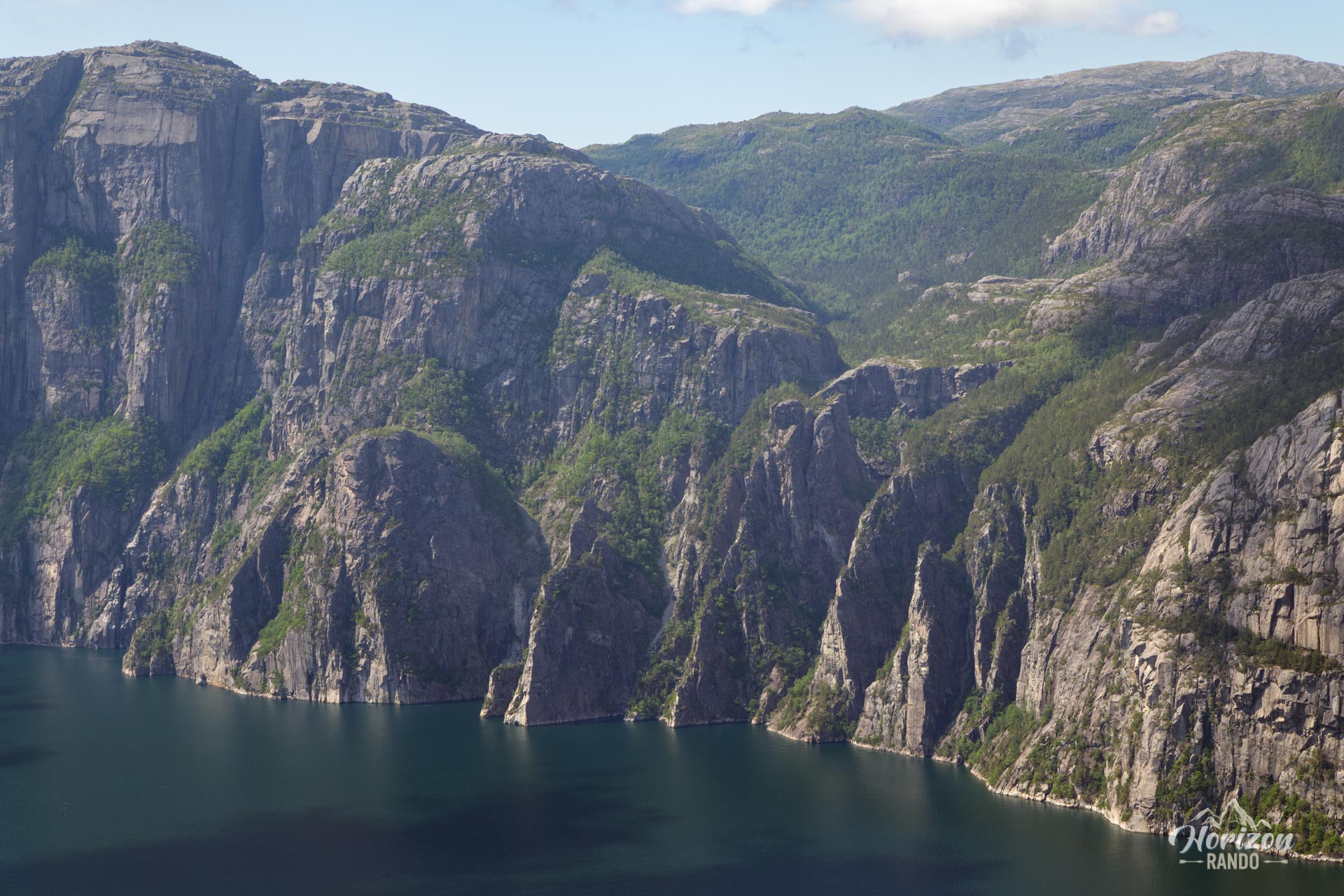
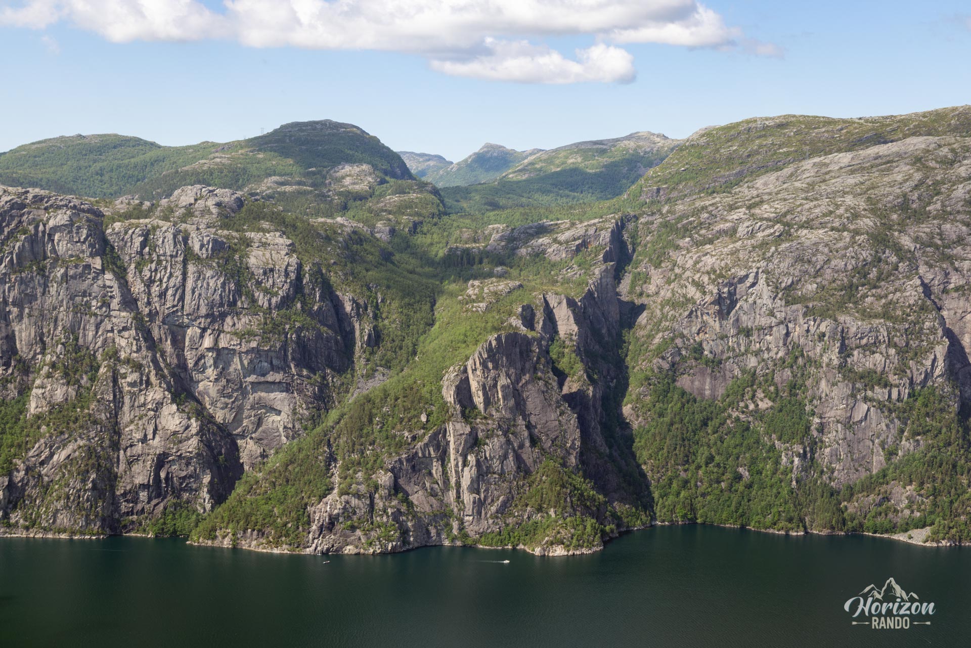
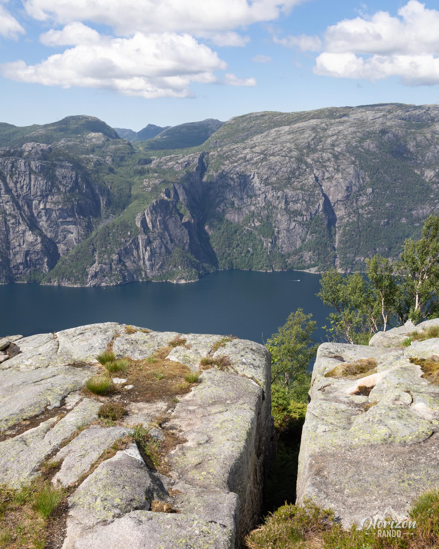
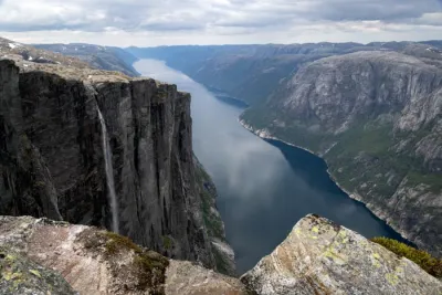
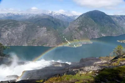
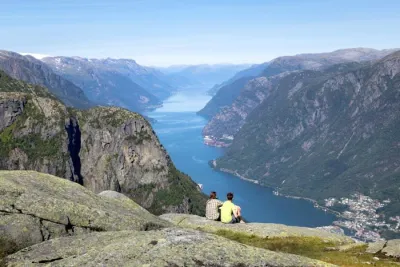
Located in the Rogaland region of Norway, the Soltifjellet hike offers an unforgettable escape to the heart of the majestic Lysefjord. Less crowded than the iconic trails in the surrounding area, this short but varied route leads to a panoramic summit overlooking the fjord and the steep mountains that plunge into it. On clear days, you can see Preikestolen and Neverdalsfjell accross the fjord. It's a perfect choice for hikers seeking peace, authenticity, and spectacular views, far from the crowds.
Map and elevation profile of the hike
Sollifjellet Hike
Difficulties of the hike
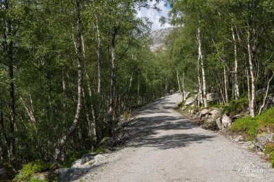
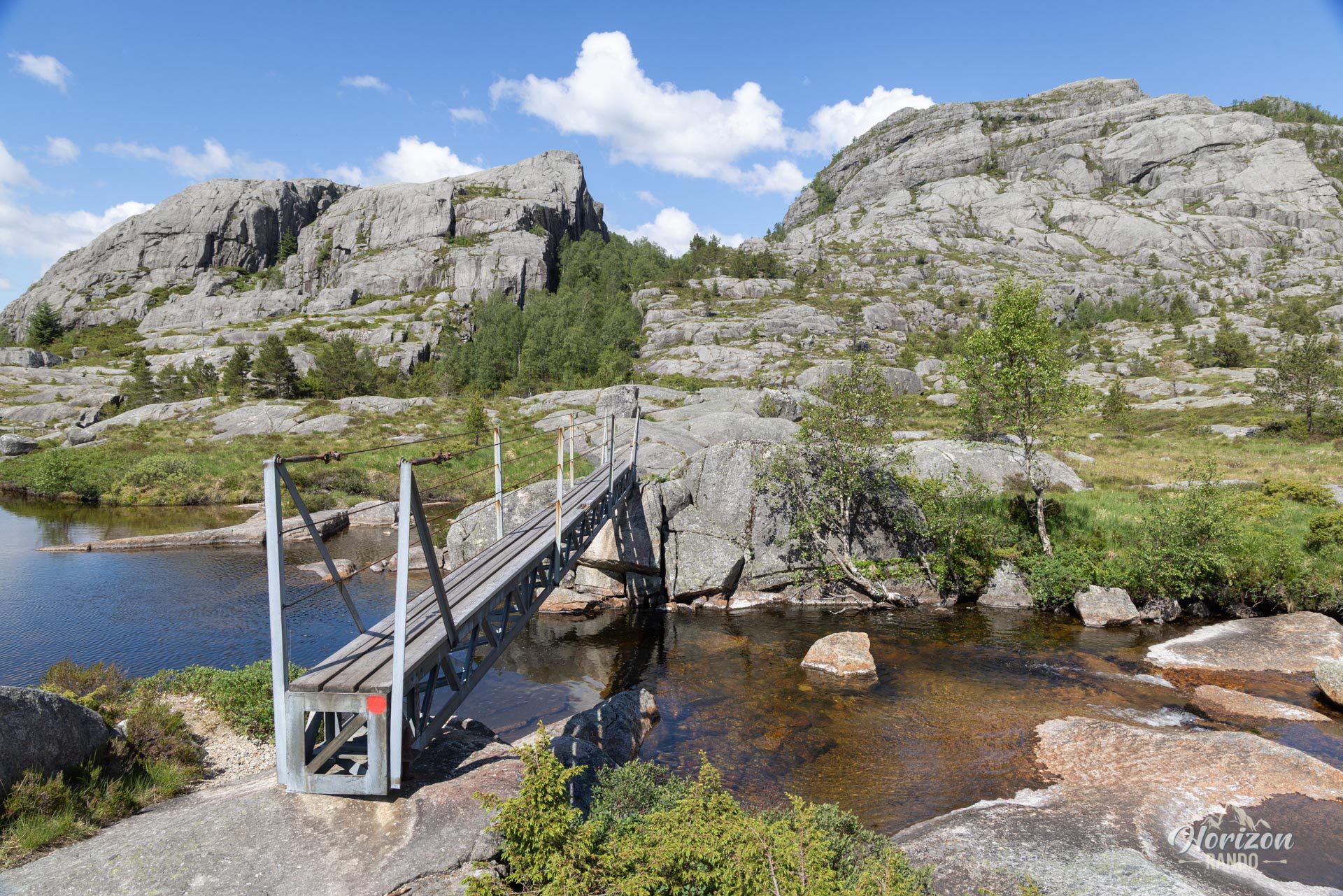
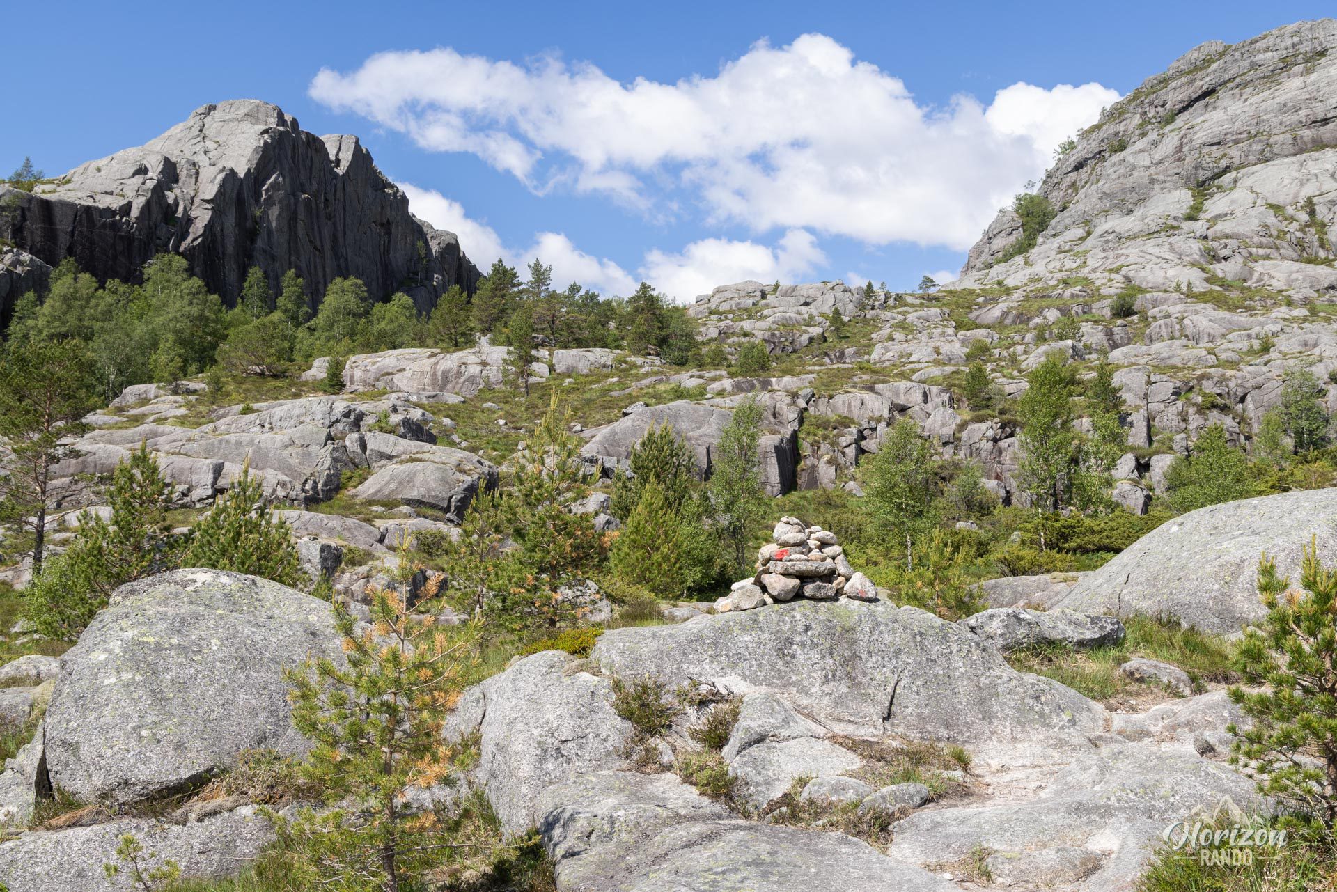
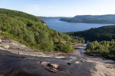
This route is accessible both technically and physically. With a total elevation gain of only 280 meters, the route begins with a gentle forest track before crossing a charming bridge and joining a mountain trail. The route includes a few steeper slopes and smooth rocks that can be slippery in wet weather, but they do not present any real difficulty. The trail is easy to follow and is clearly marked with signage at intersections.
What you'll love
- Spectacular views of the Lysefjord and its vertiginous cliffs, with a unique and distant perspective on the rock formations of Preikestolen and Neverdalsfjell.
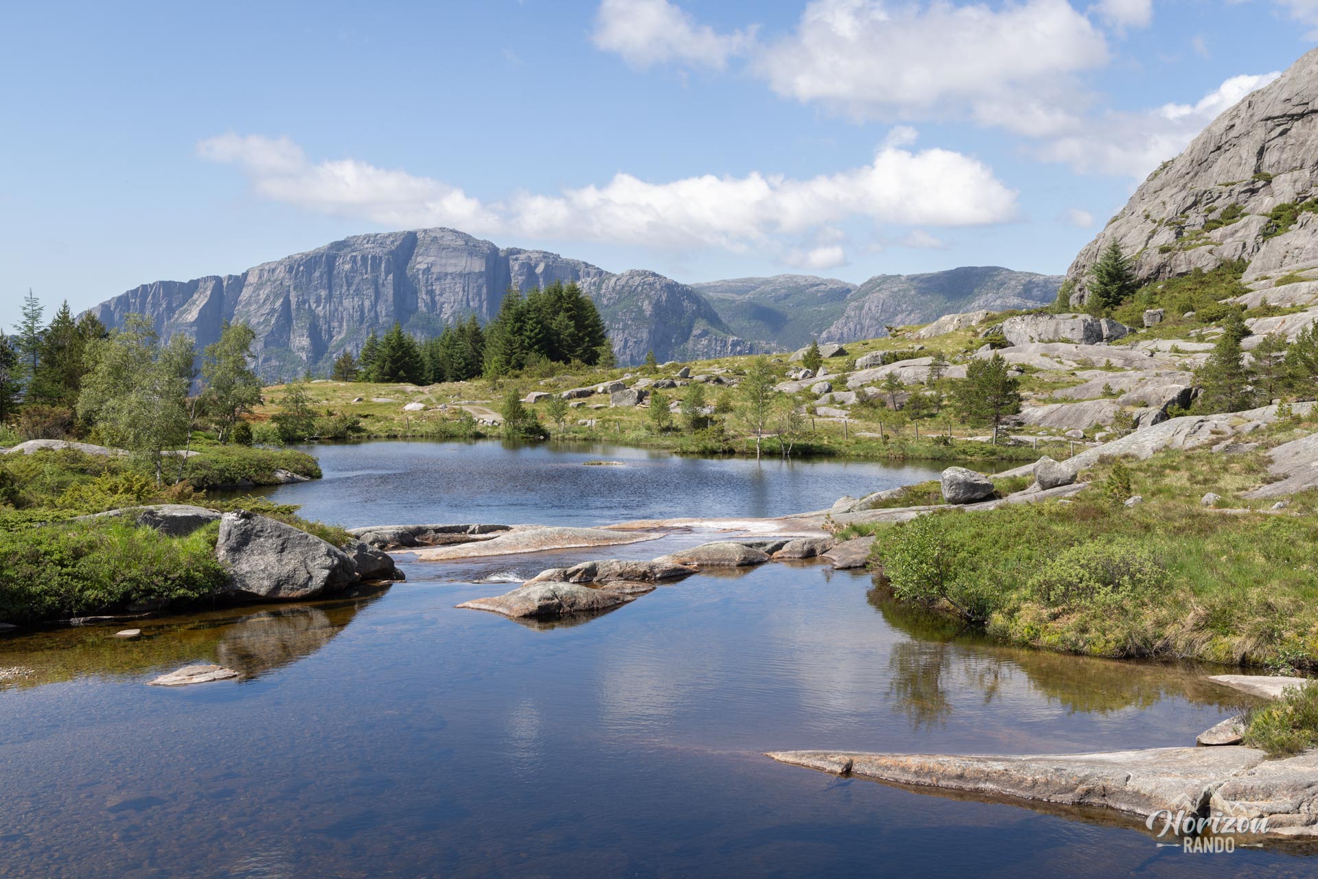
- The wild and unspoilt nature of the route, perfect for immersing yourself in the heart of nature.
Practical information
Access
There is a small car park at the trailhead in the heart of nature, accessible via a beautiful, scenic road.
Best time to go
From May to October, on average. See the Norway FAQ for more details.
Photos
See all 12 photos →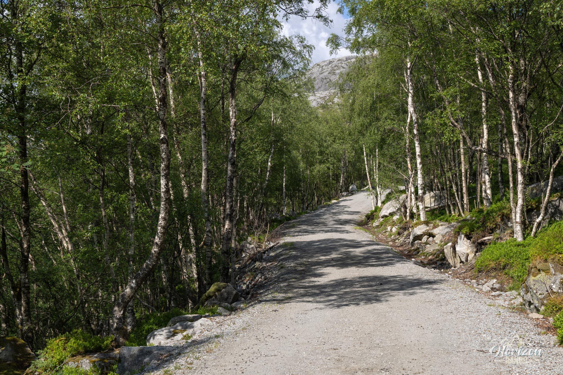
More hikes to do in Norway
Nearby hikes






















Printed from www.horizonrando.fr/en/norway/sollifjellet/