






Molden Hike
Key facts about the hike
- Difficulty
- Moderate Hikes are rated from very easy to very hard: my difficulty scale
- Duration
- 3h30 Estimated time, short breaks included (photos, water, snacks), picnic not included: how it is calculated
- Distance
- 8.5km
- out and back
- Elevation gain
- 610m
- Type of route
- Out and back
- Maximum altitude
- 1,116 m
- Vertiginous Five levels, depending on how exposed the route is: the levels in detail
- No
- Marked
- Yes
- Popularity
- High
- County
- Vestland
- Start point
- 61.33327, 7.27164
- Activity
- Hiking
Hike overview
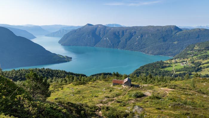
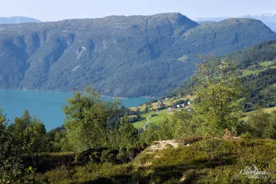
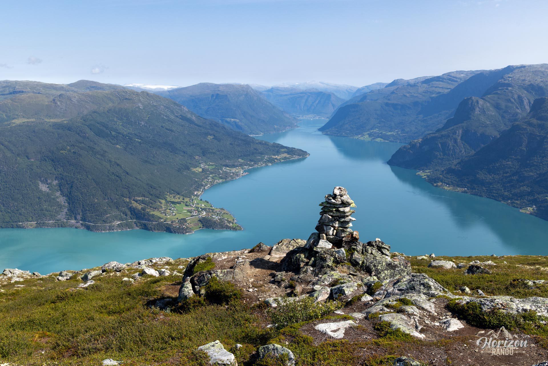
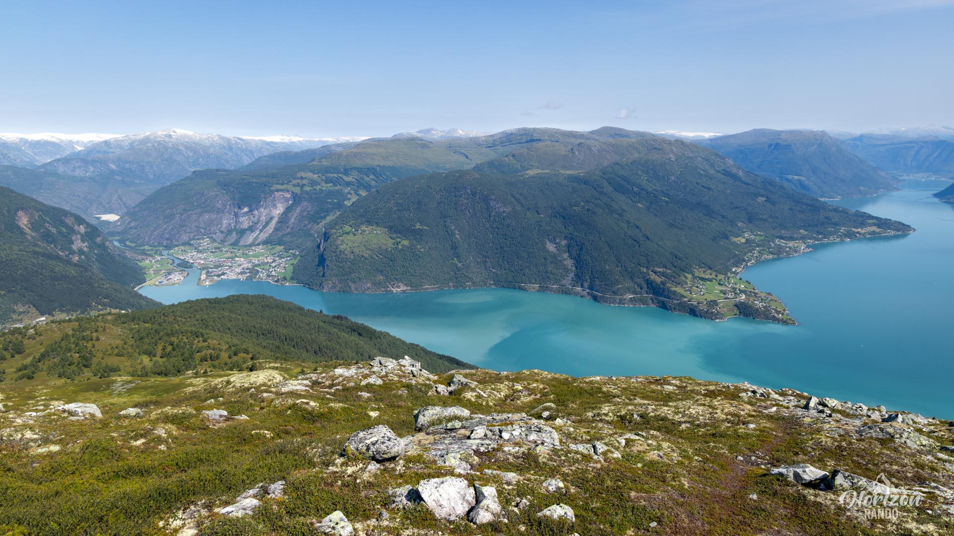
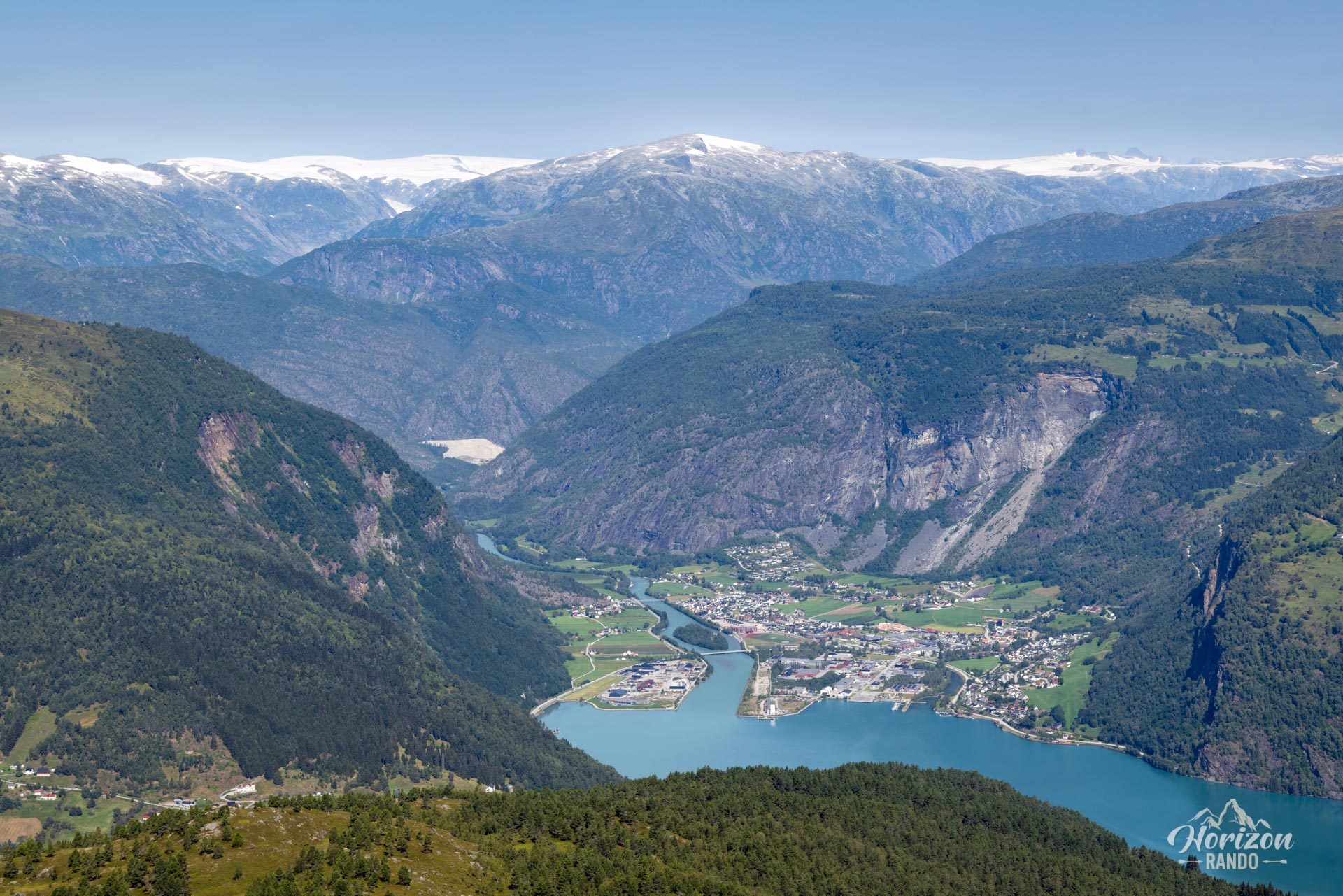
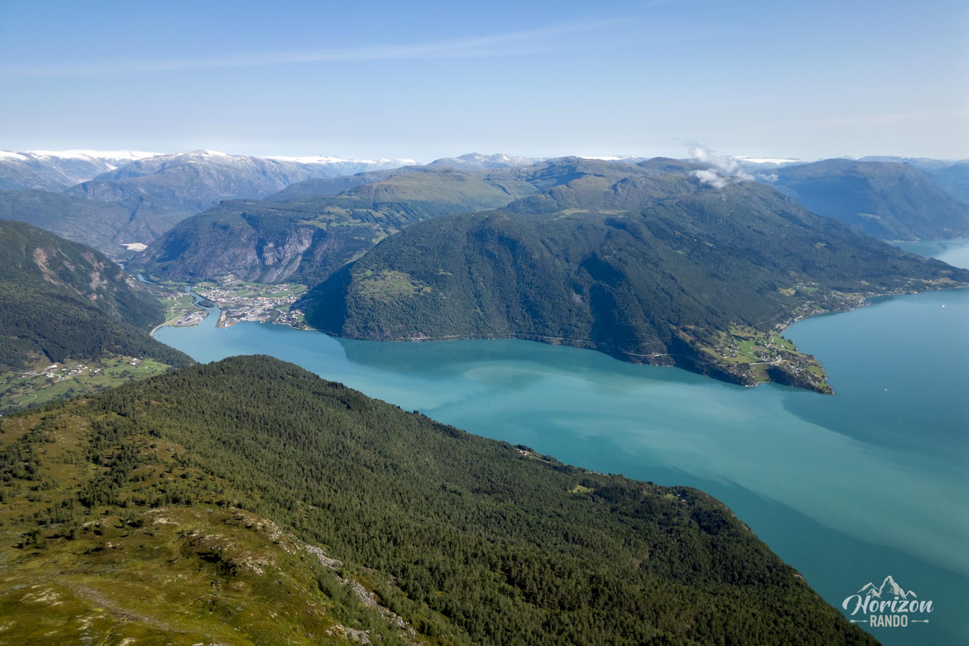
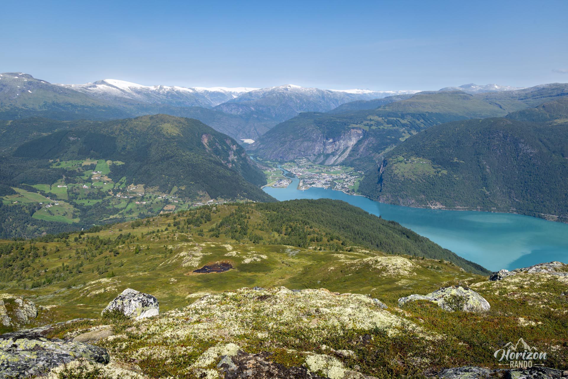
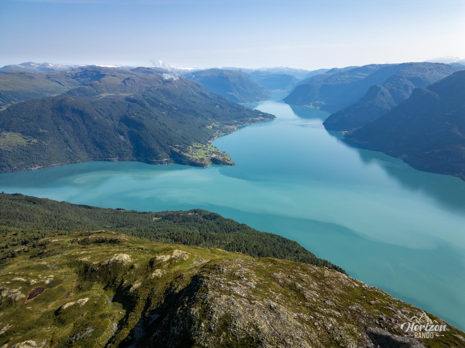
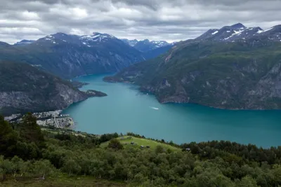
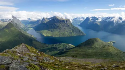
Molden (1,116 m) is one of the most iconic hikes in Norway's fjord region. Thanks to its privileged location, this route offers exceptional 360° views of the Lustrafjord, an emerald-colored arm of the majestic Sognefjord—Norway's longest fjord. Considered a local classic, Molden promises spectacular visual rewards for a reasonably strenuous effort.
Map and elevation profile of the hike
Molden Hike
Difficulties of the hike
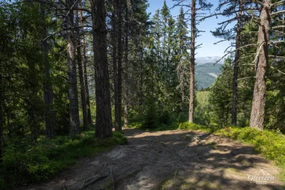
Climbing up Molden presents no particular technical difficulties. The well-maintained trail alternates between forest and alpine pastures, with occasional markings but clear directional signs at each intersection.
Starting at a high altitude from the Krossen parking lot significantly reduces the effort required; the trail is only 4 km long with 600 m of elevation gain. The gradual ascent is punctuated by increasingly expansive views, making this hike popular among families and occasional hikers.
Starting at a high altitude from the Krossen parking lot significantly reduces the effort required; the trail is only 4 km long with 600 m of elevation gain. The gradual ascent is punctuated by increasingly expansive views, making this hike popular among families and occasional hikers.
What you'll love
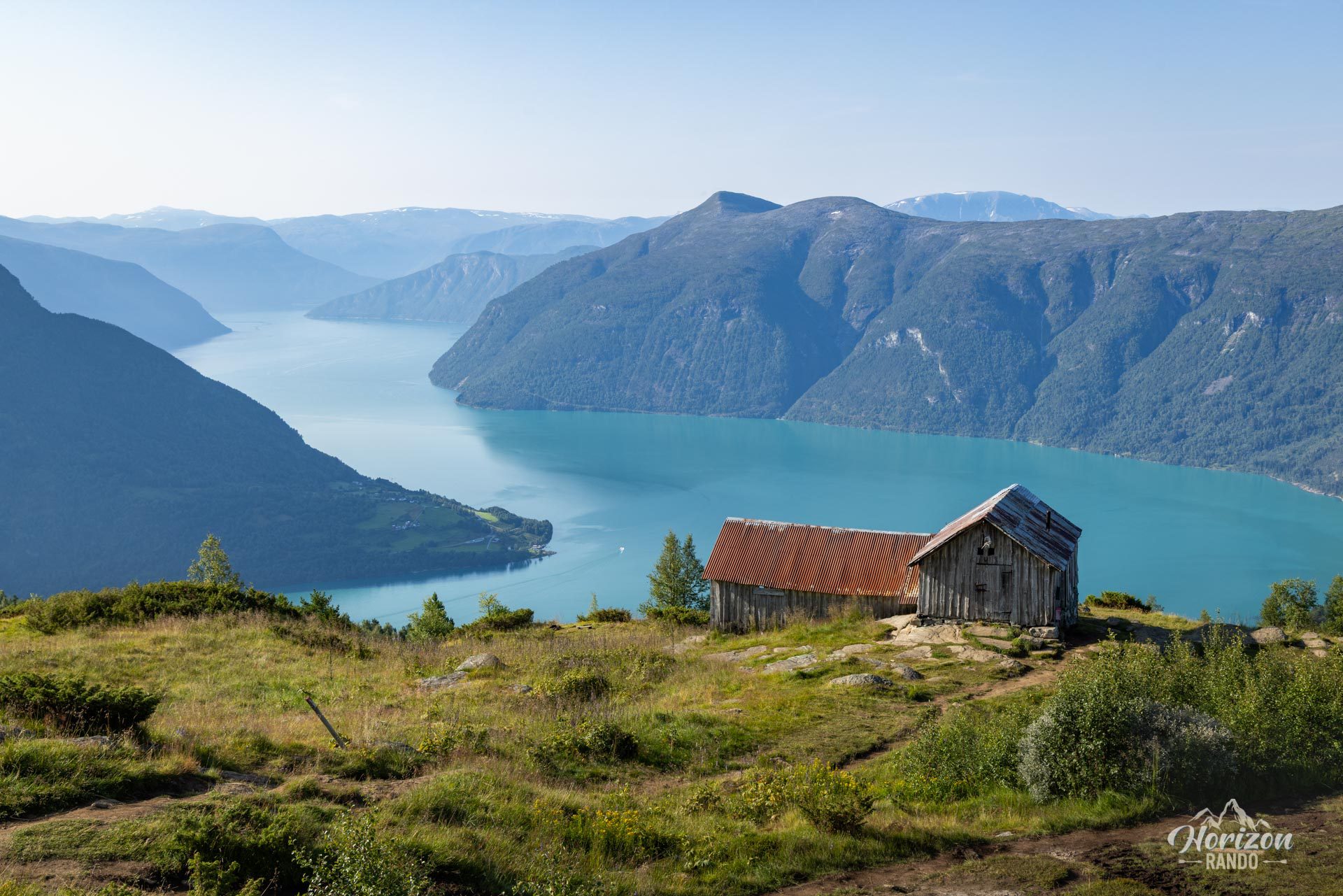
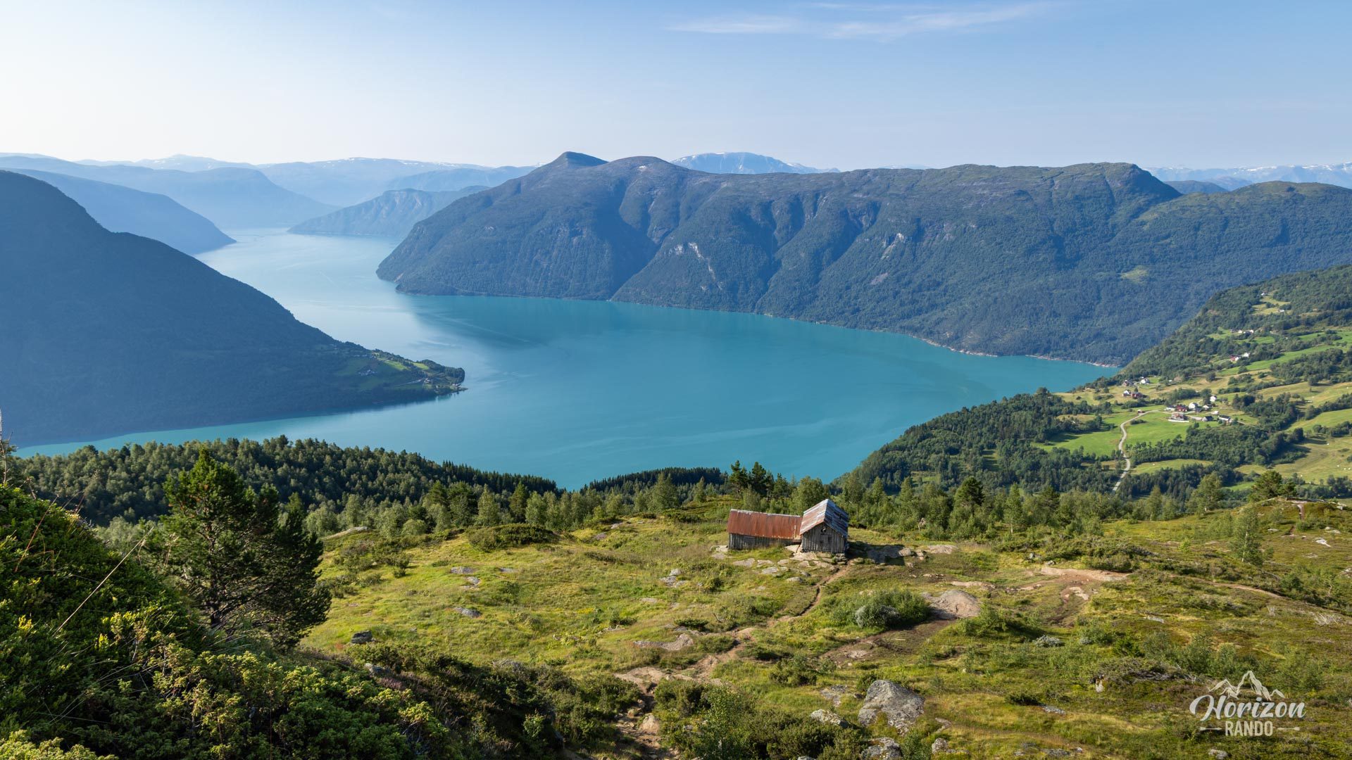
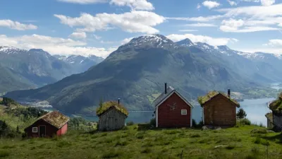
- Svarthiller's intermediate viewpoint: This former alpine farm is the perfect place to stop halfway up for a sneak peek at the views from the summit.
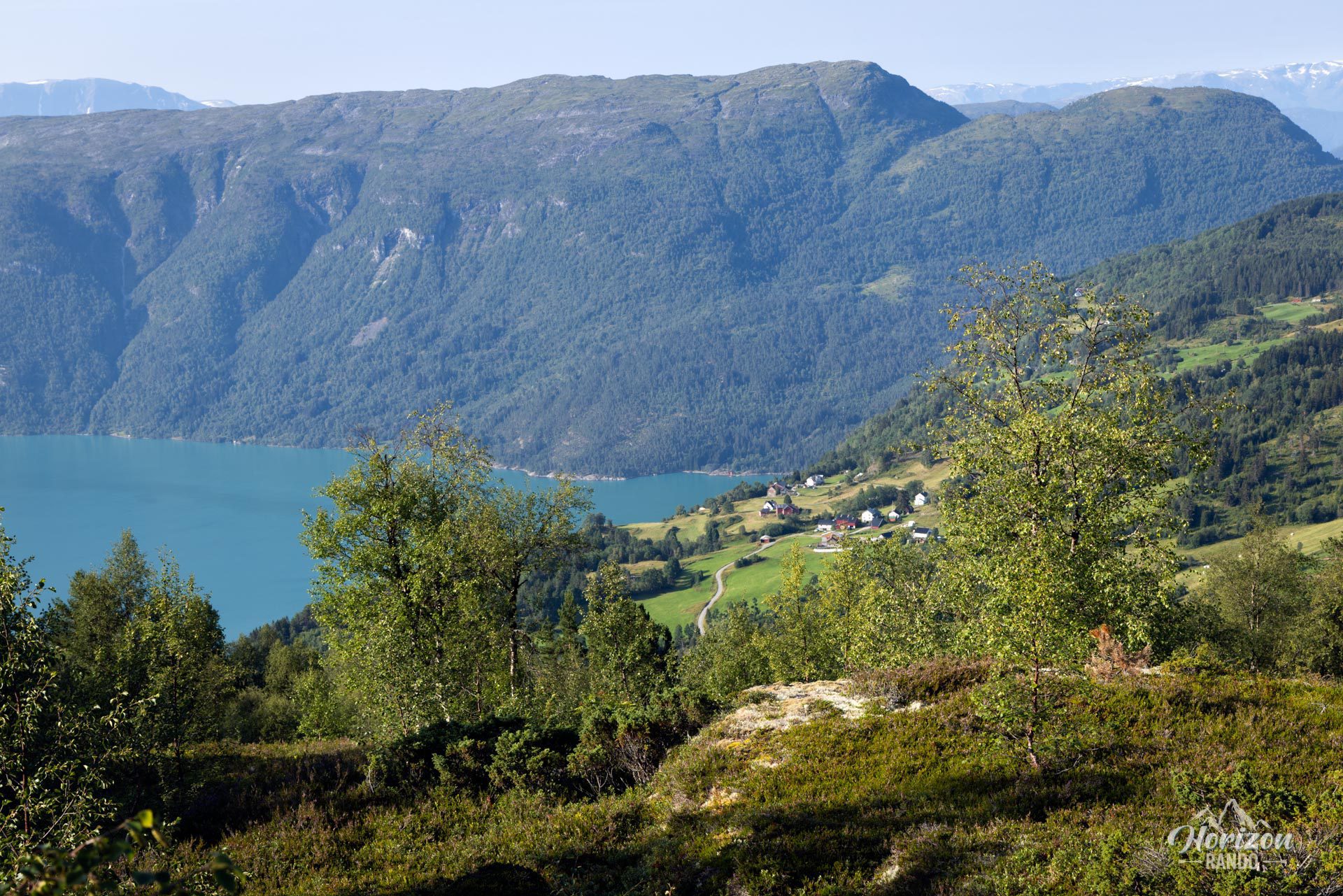
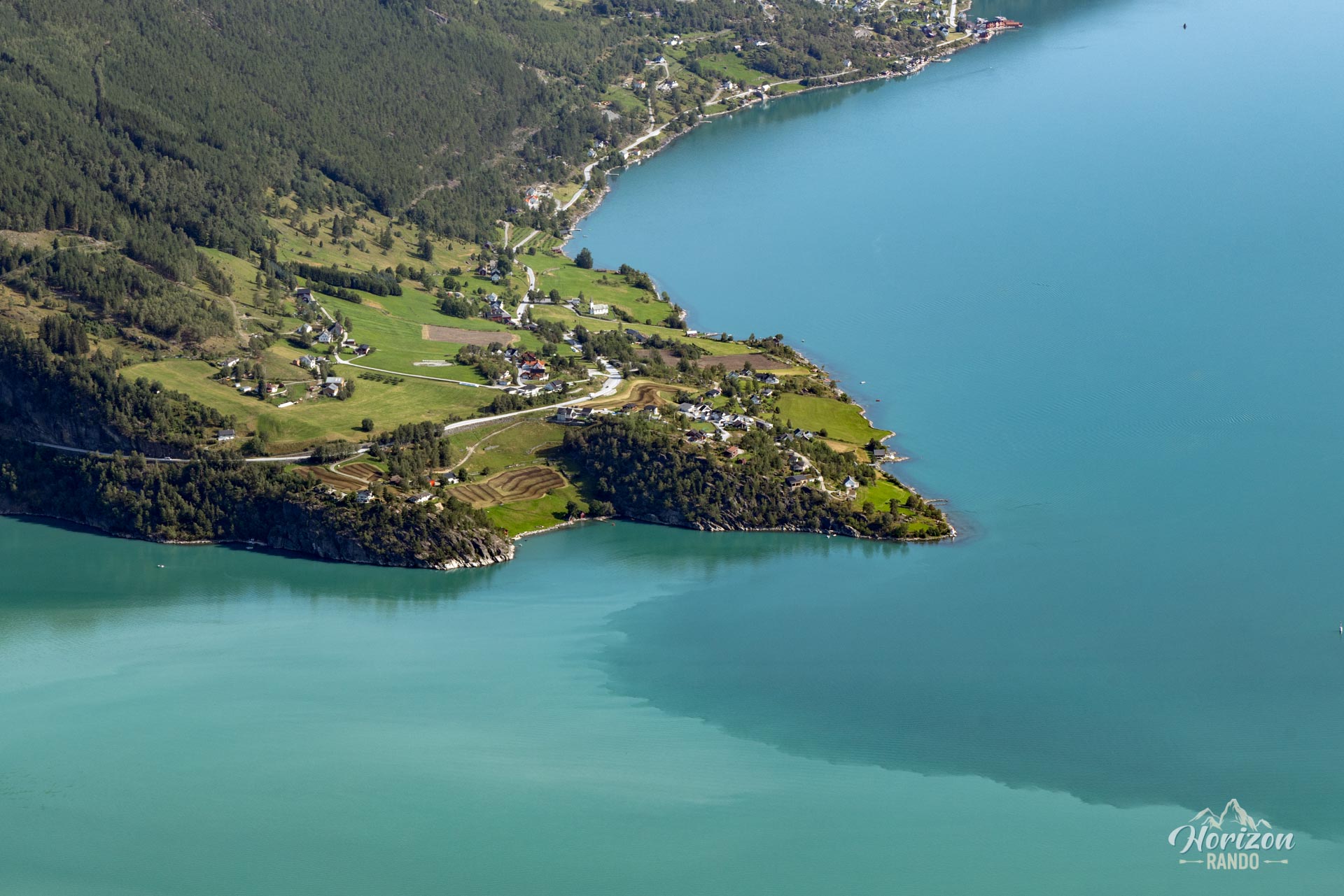
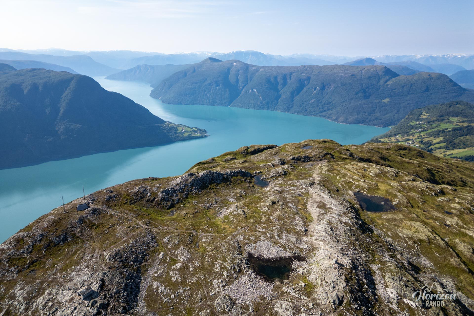
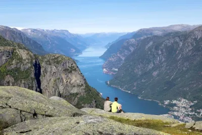
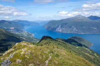
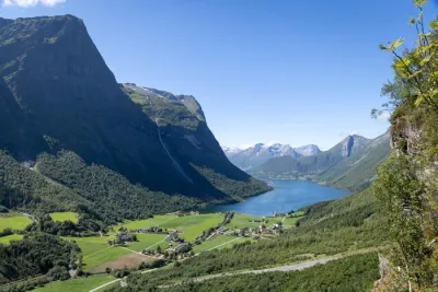
- A spectacular 360° panorama: Take in the emerald green waters of the Lustrafjord, the distant Jostedal glacier, and the peaks plunging into the fjord.
Practical information
Access
There is a free parking lot in Krossen, accessible via an easy 3-kilometer gravel road from Route 55. The lot is spacious, but it often fills up in the summer when the weather is nice, so be sure to arrive early.
Best time to go
From June to September, on average. See the Norway FAQ for more details.
Please note
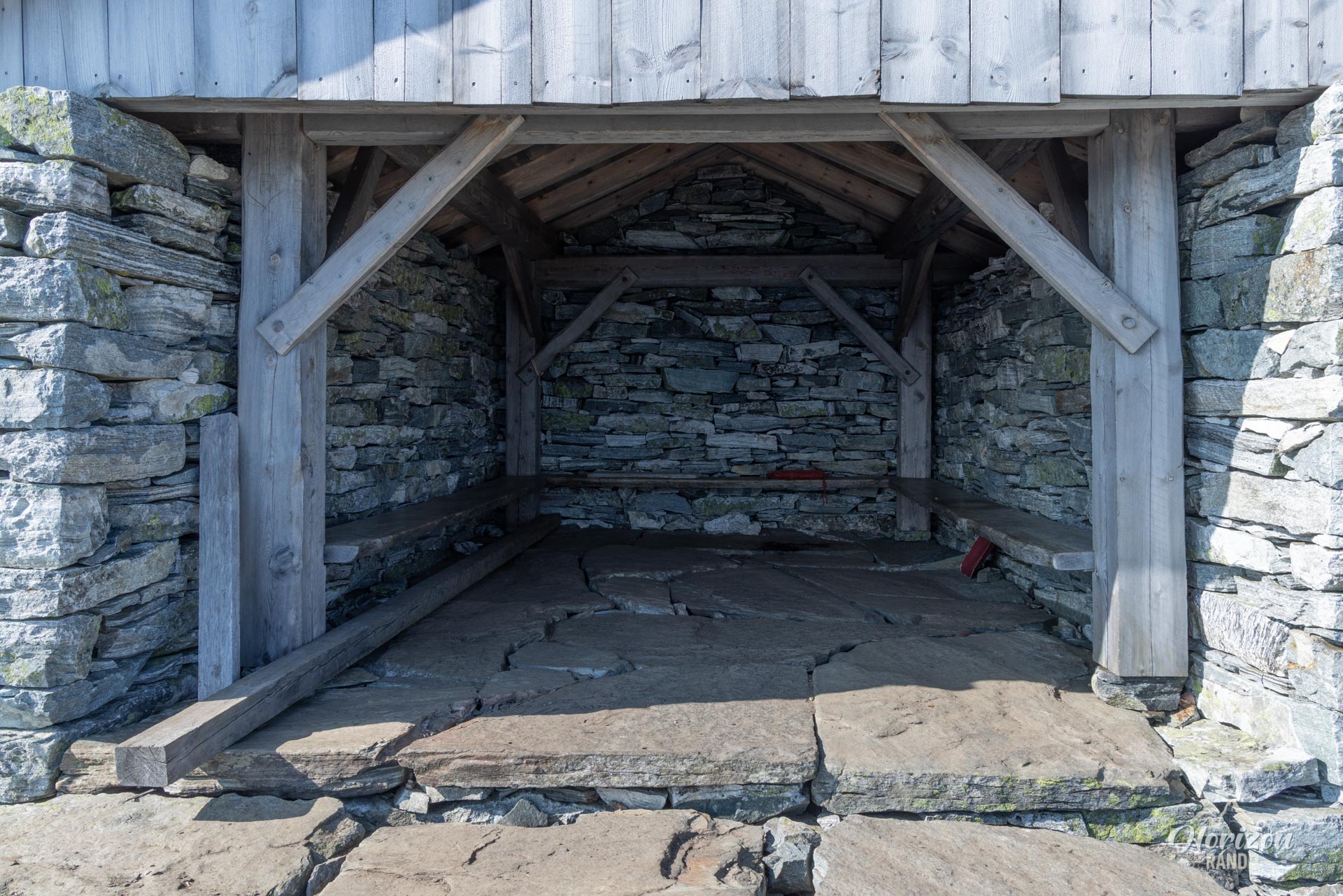
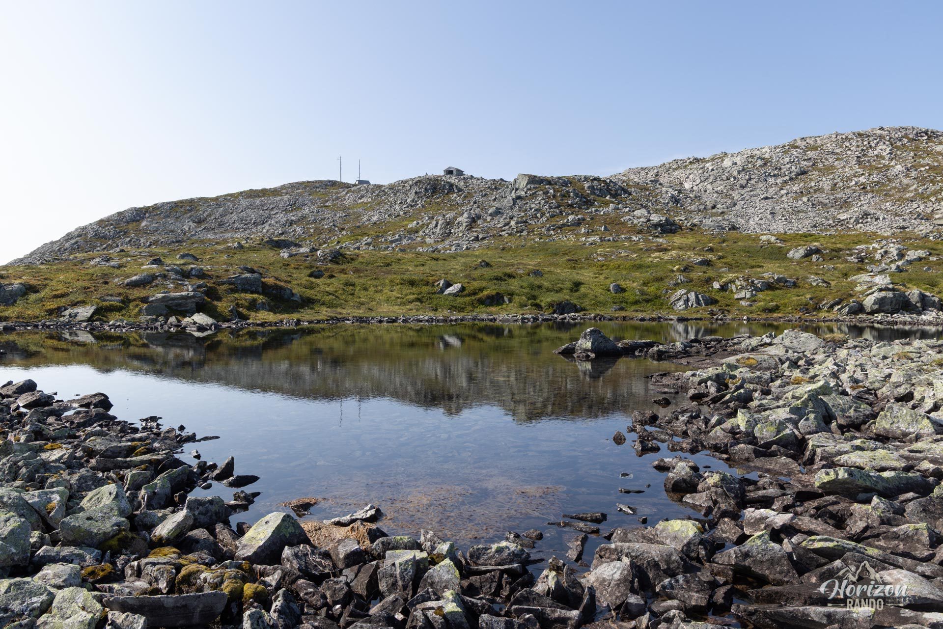
The summit forms a vast plateau. Take the time to explore it and enjoy the varied views of the fjords and surrounding mountains.
Photos
See all 14 photos →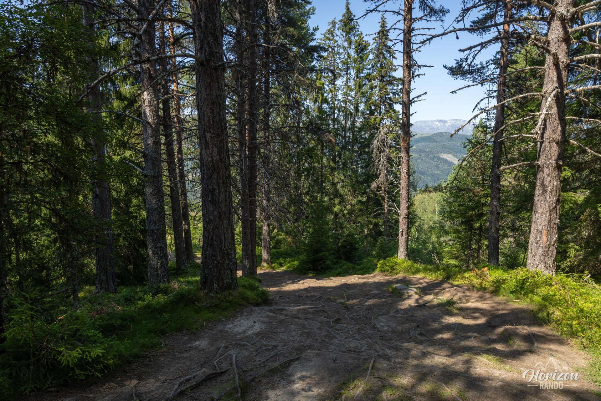
More hikes to do in Norway
Nearby hikes




















Printed from www.horizonrando.fr/en/norway/molden/