





Kyrkja Hike
Key facts about the hike
- Difficulty
- Hard Hikes are rated from very easy to very hard: my difficulty scale
- Duration
- 4h30 Estimated time, short breaks included (photos, water, snacks), picnic not included: how it is calculated
- Distance
- 9.3km
- out and back
- Elevation gain
- 730m
- Type of route
- Out and back
- Maximum altitude
- 2,032 m
- Vertiginous Five levels, depending on how exposed the route is: the levels in detail
- Moderately/Highly
- Marked
- No
- Popularity
- Moderate
- County
- Innlandet
- Start point
- 61.54915, 8.24688
- Activity
- Hiking
Hike overview
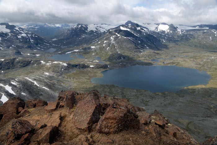
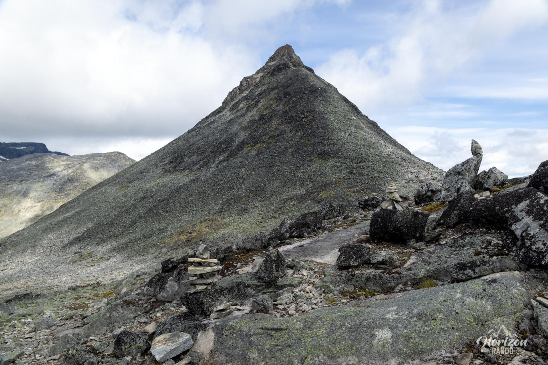
Rising majestically in the heart of Norway's Jotunheimen National Park, Kyrkja (2,032 m) is one of the region's most iconic and recognizable peaks. Its sharp, triangular silhouette resembles a church spire, hence its evocative name, which means “church” in Norwegian.
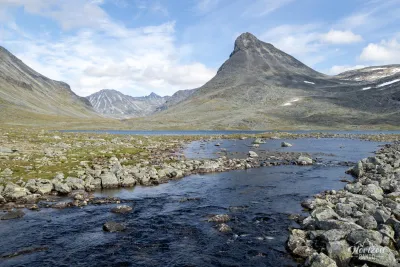
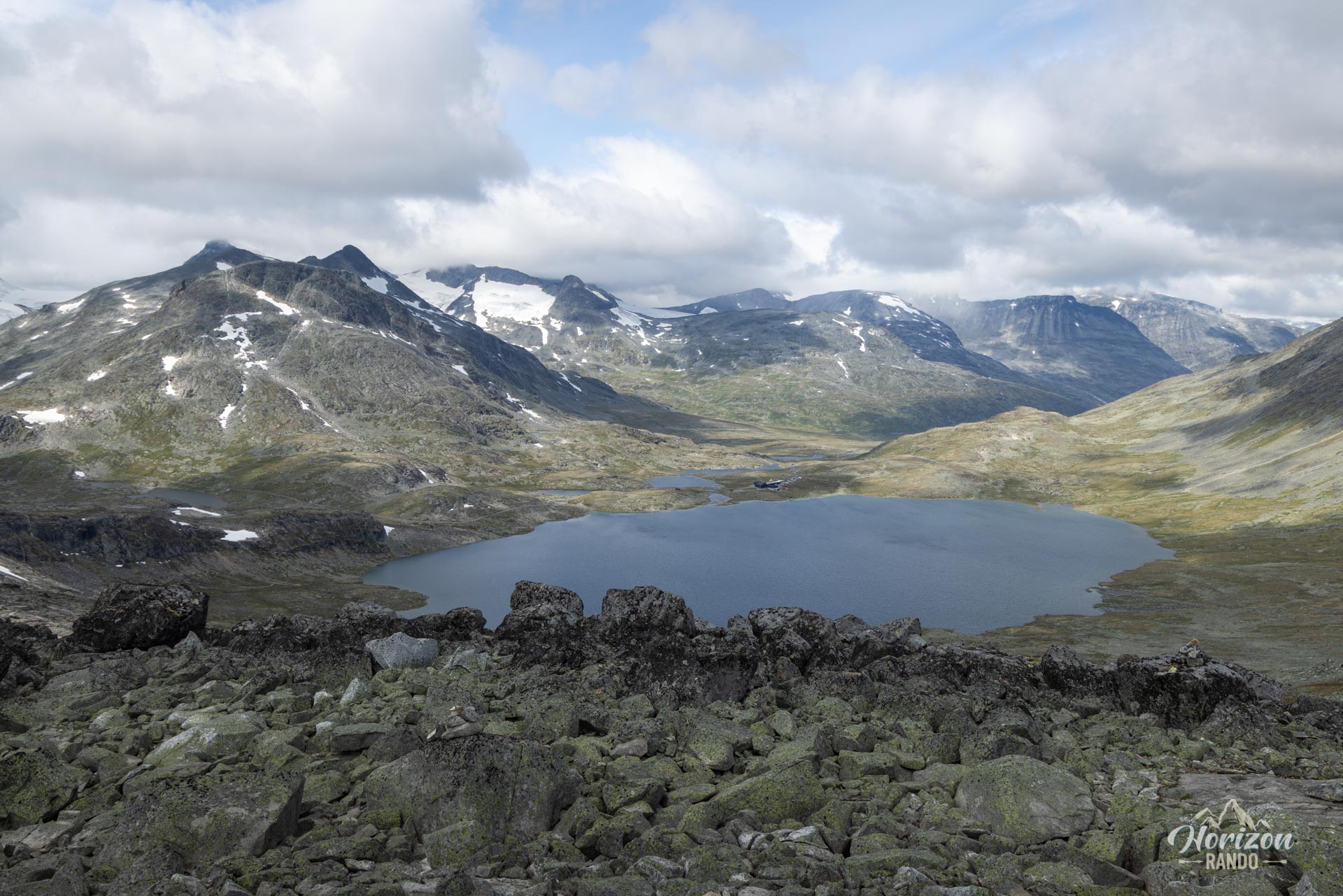
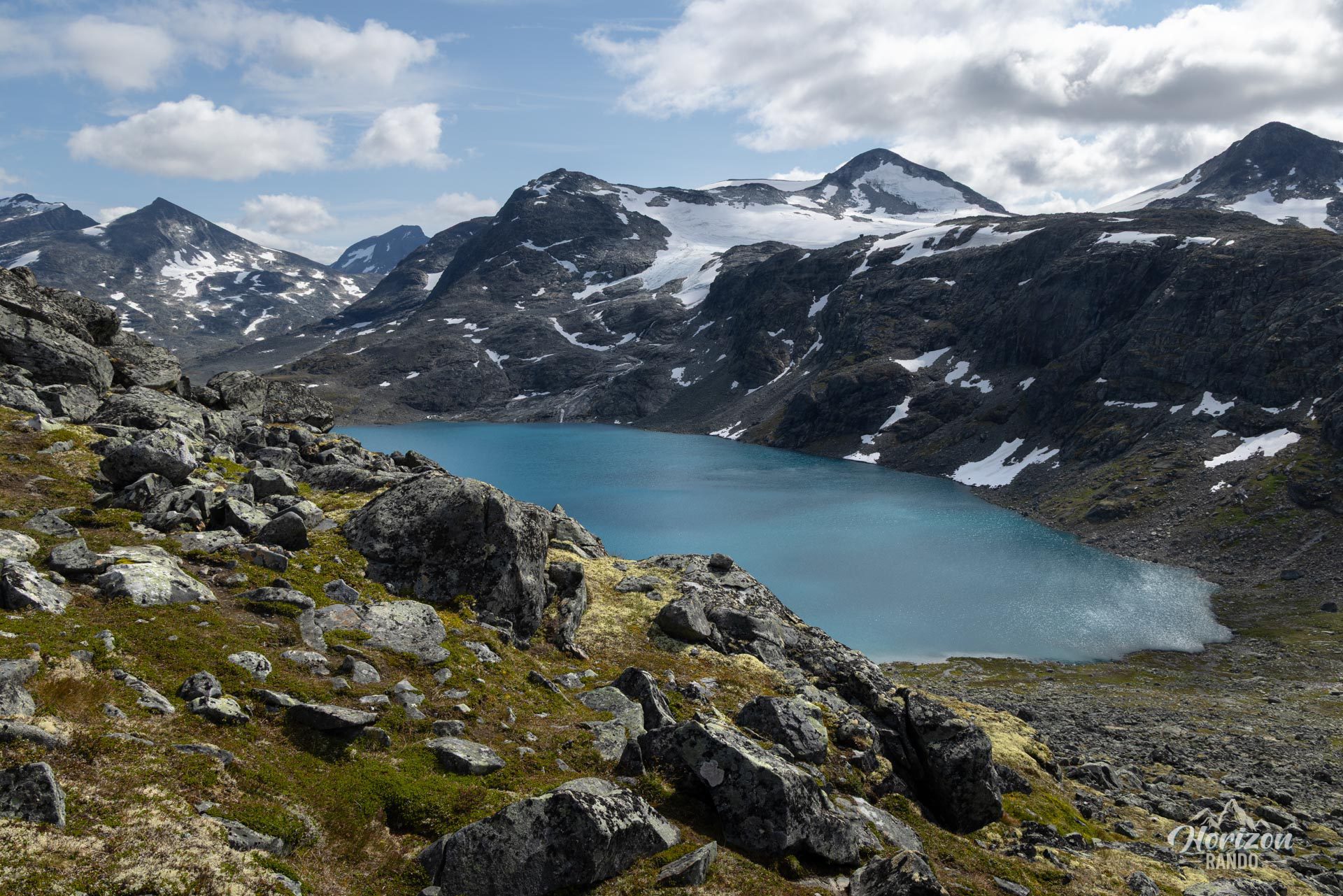
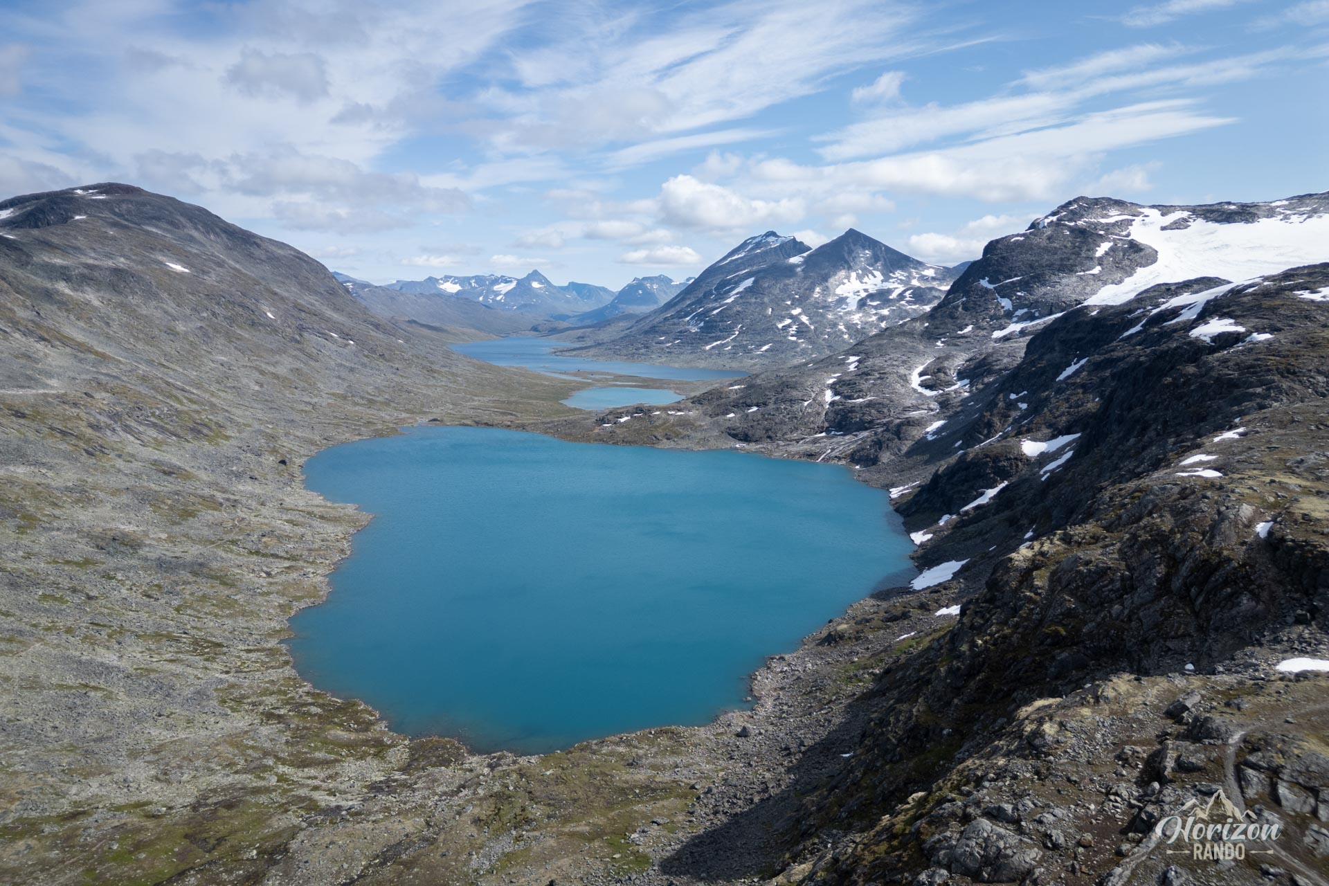
Starting from the Leirvassbu hut, this intense and spectacular hike immerses you in a high-mountain atmosphere. Relatively uncrowded, the trail charms hikers with its wild atmosphere, spectacular terrain, and breathtaking views of Scandinavia's highest peaks.
Map and elevation profile of the hike
Kyrkja Hike
Description and difficulties of the hike
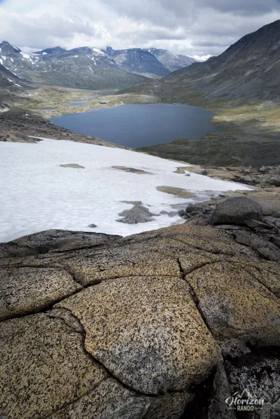
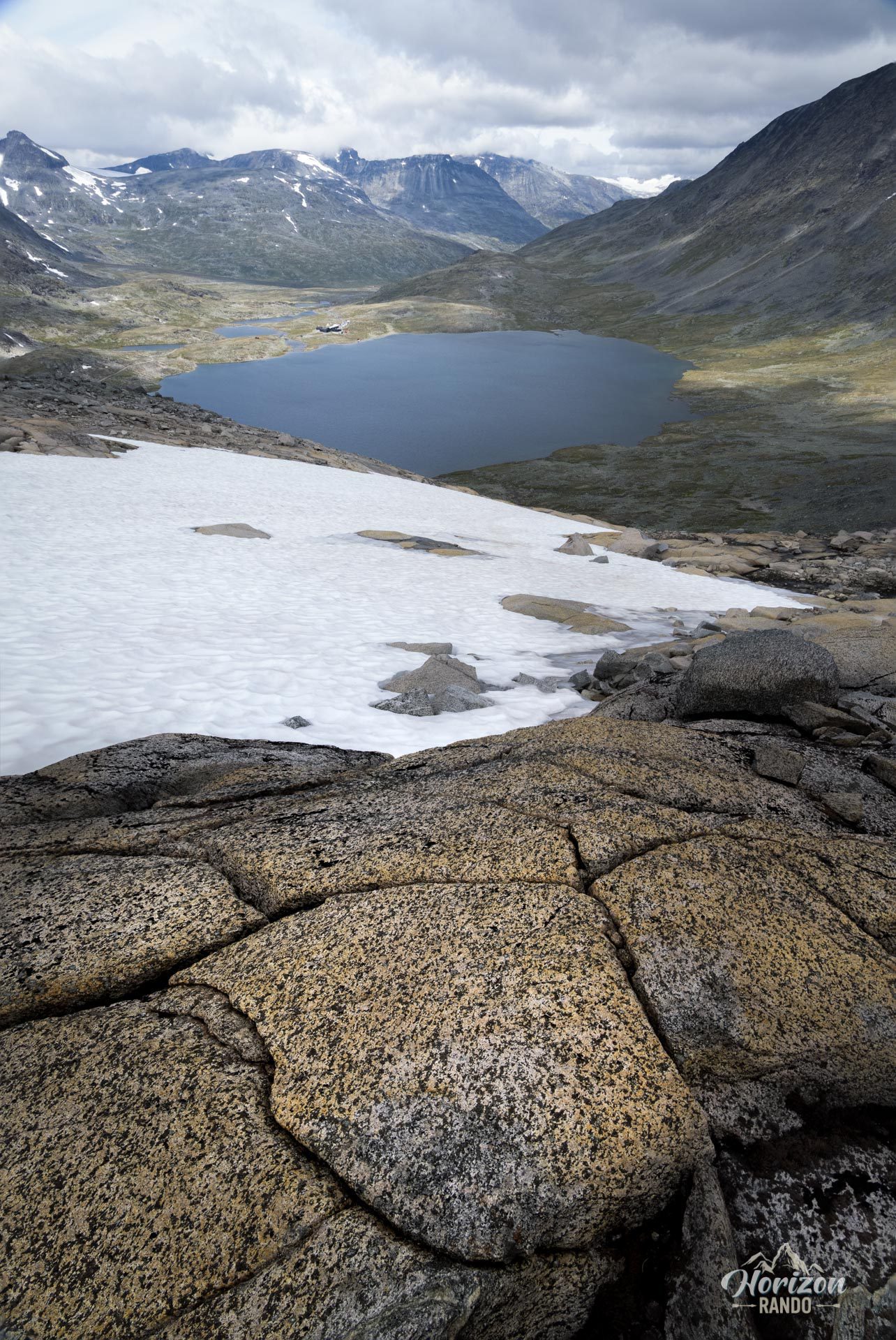
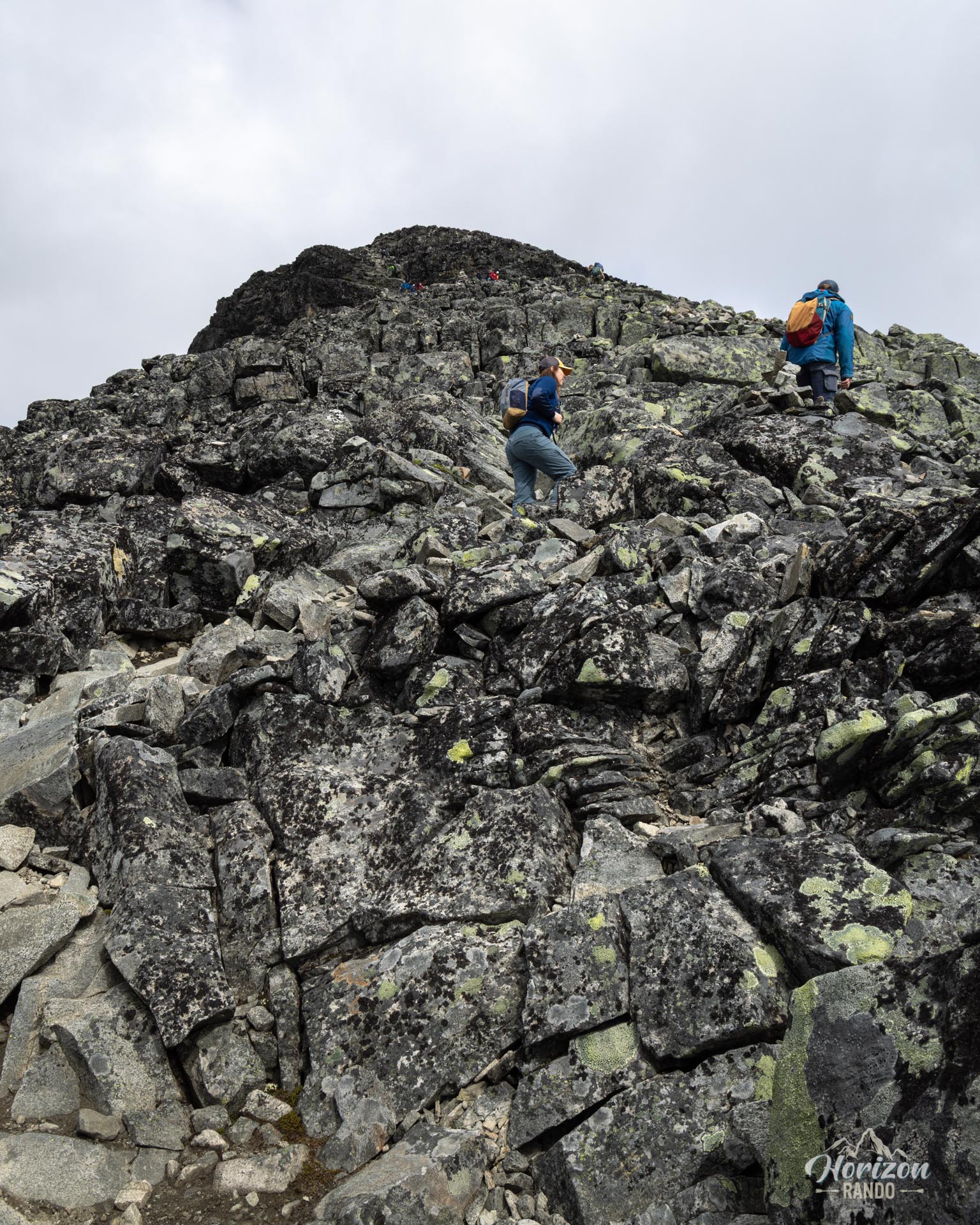
Expect the difficulty of this route to increase. After an easy start, the trail continues onto long sections of scree and boulders, which demand good balance and can be slippery when wet. Initial markings give way to a route marked only by cairns throughout the upper section. Therefore, orientation skills (GPS, map and compass) are crucial, especially if visibility is reduced due to fog or low clouds.
The final climb to the summit is the most technical and challenging part. It includes numerous passages of scrambling on extremely steep slopes, as well as a few climbing steps. There is significant exposure to the void, so sure footing and a head for heights are essential.
What you'll love
- The unique aesthetics of Kyrkja: Its iconic silhouette, a true emblem of Jotunheimen, is a feast for the eyes and photographers alike.
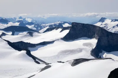
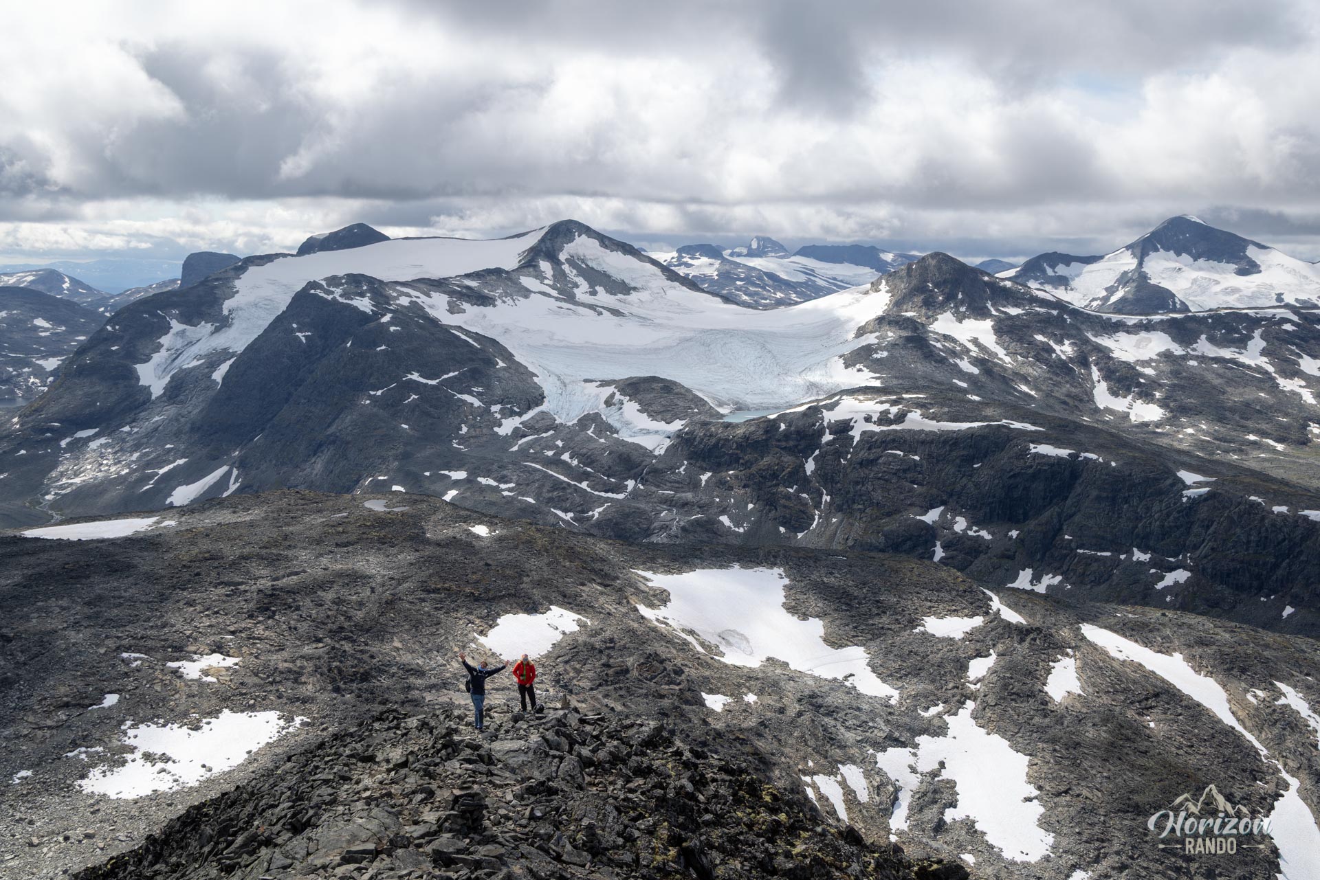
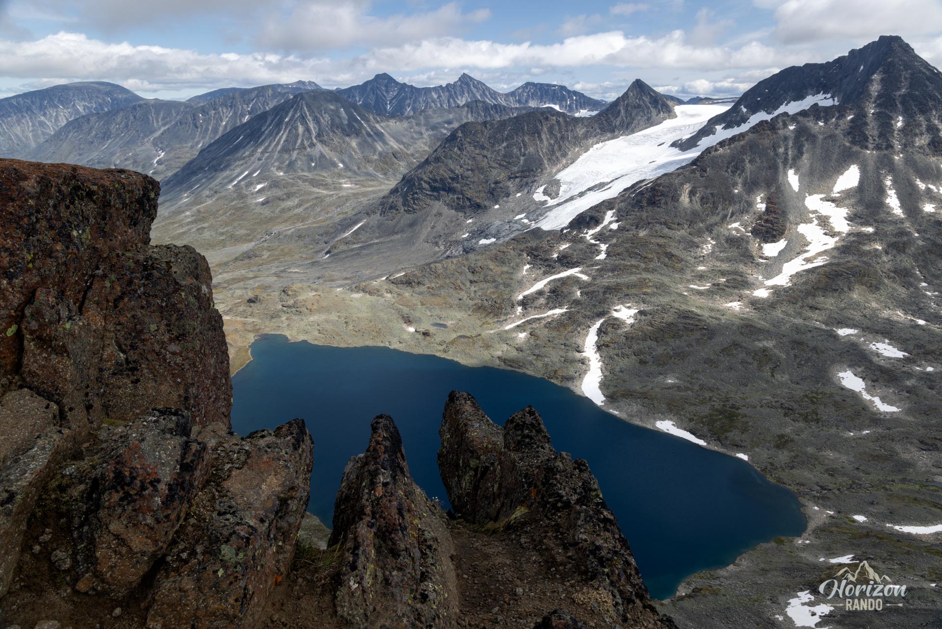
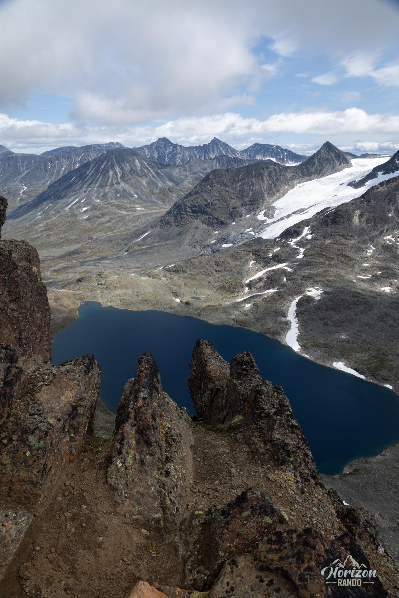
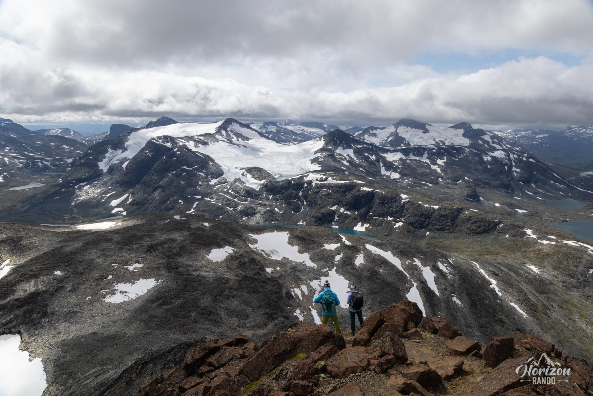
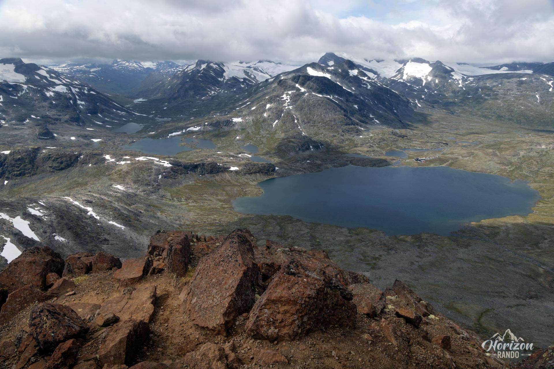
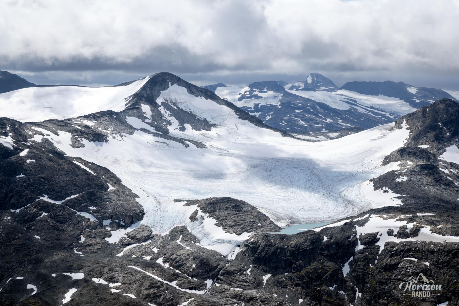
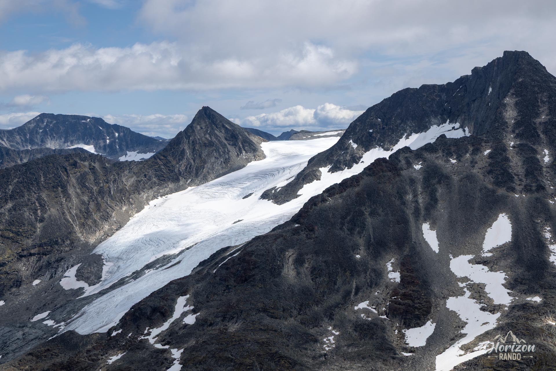
- The 360° summit panorama: A breathtaking reward, offering unobstructed views of the highest peaks in Norway.
Practical information
Access
The Leirvassbu Refuge is accessible by car via a private toll road (indicative cost in 2025: NOK 150).
Best time to go
From July to mid-September, on average. See the Norway FAQ for more details.
Photos
See all 14 photos →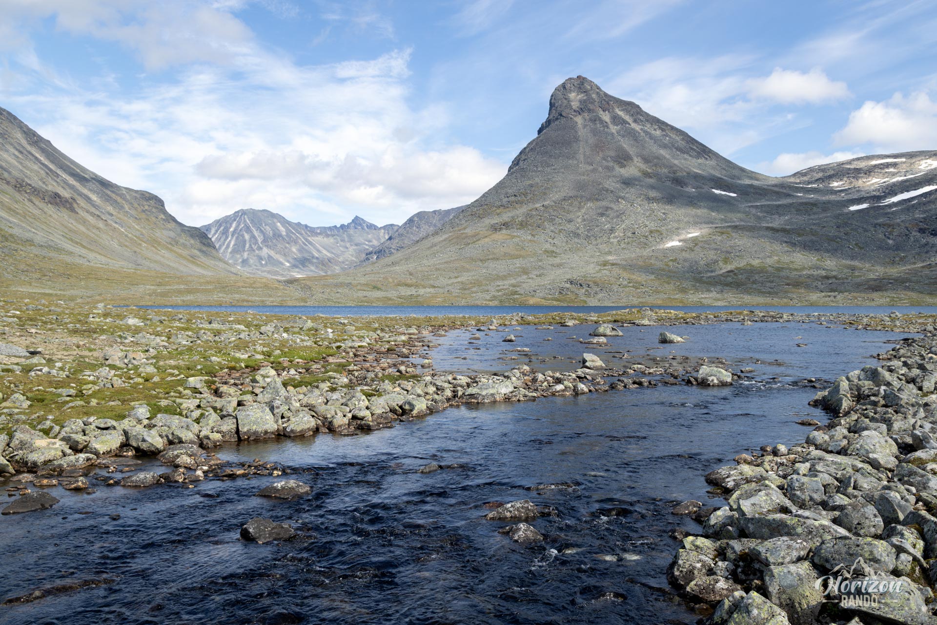
More hikes to do in Norway
Nearby hikes




















Printed from www.horizonrando.fr/en/norway/kyrkja/