





Romsdalseggen Ridge Hike
Key facts about the hike
- Difficulty
- Hard Hikes are rated from very easy to very hard: my difficulty scale
- Duration
- 6h Estimated time, short breaks included (photos, water, snacks), picnic not included: how it is calculated
- Distance
- 11.4km
- Elevation gain
- 950m
- Elevation loss
- 1,320 m
- Type of route
- One way
- Maximum altitude
- 1,216 m
- Vertiginous Five levels, depending on how exposed the route is: the levels in detail
- Moderately
- Marked
- Yes
- Popularity
- High
- County
- Møre og Romsdal
- Start point
- 62.53623, 7.82570
- Activity
- Hiking
Hike overview
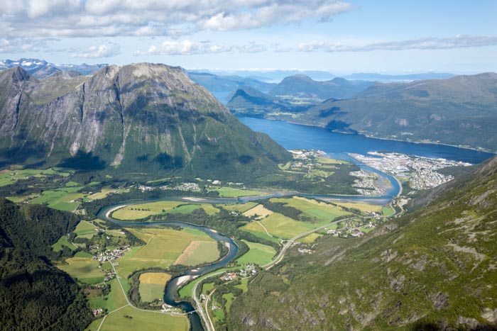
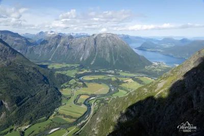
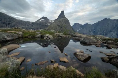
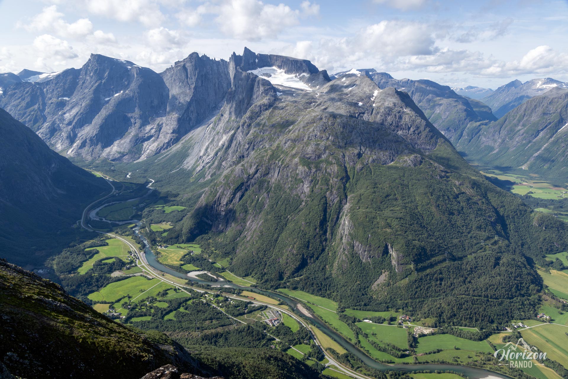
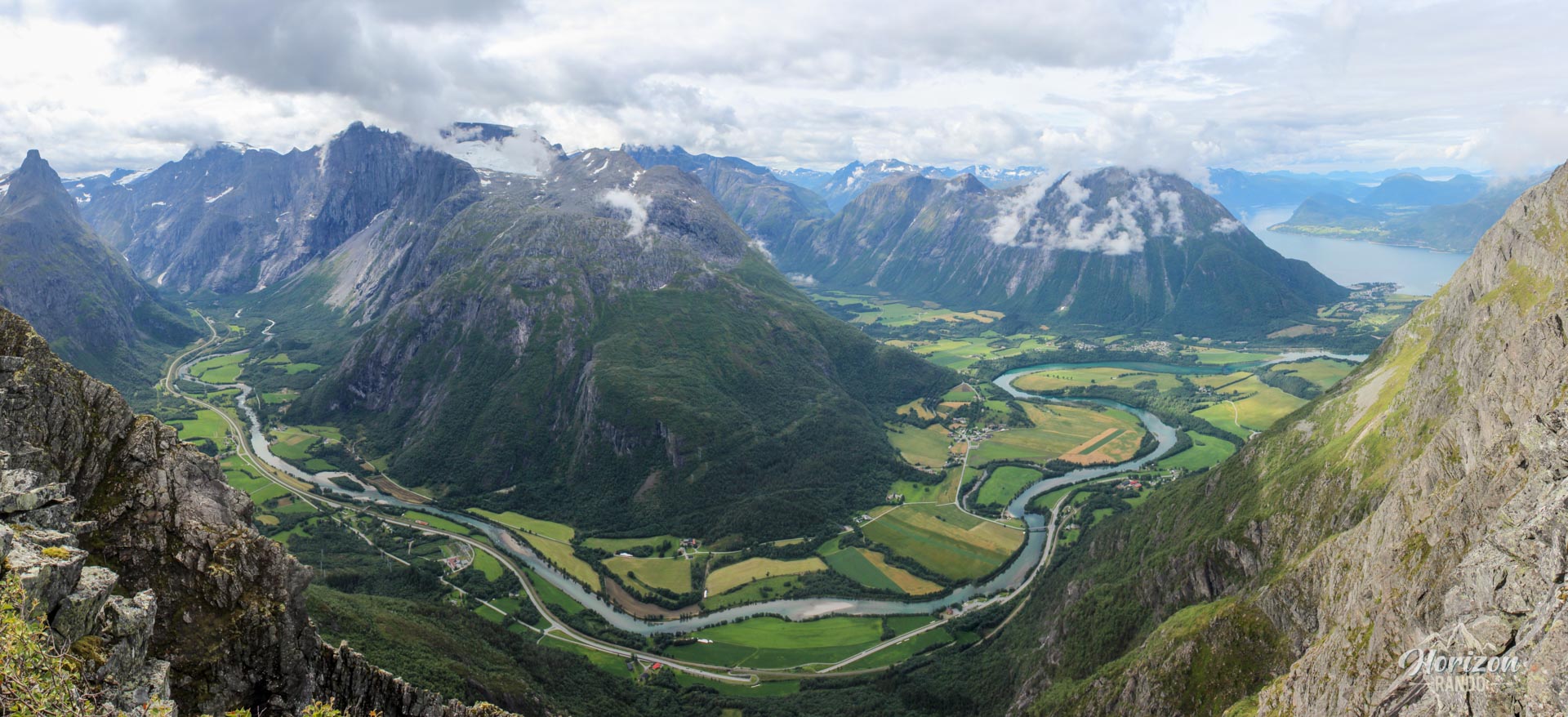
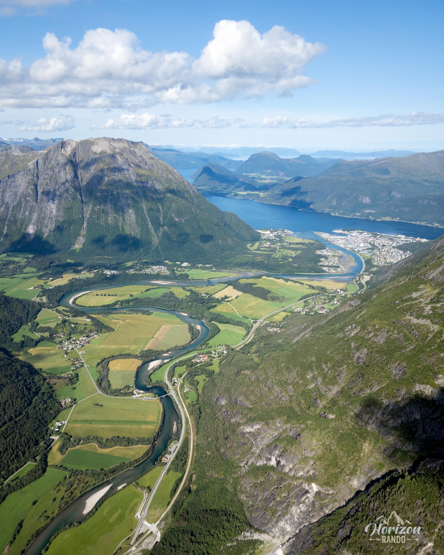
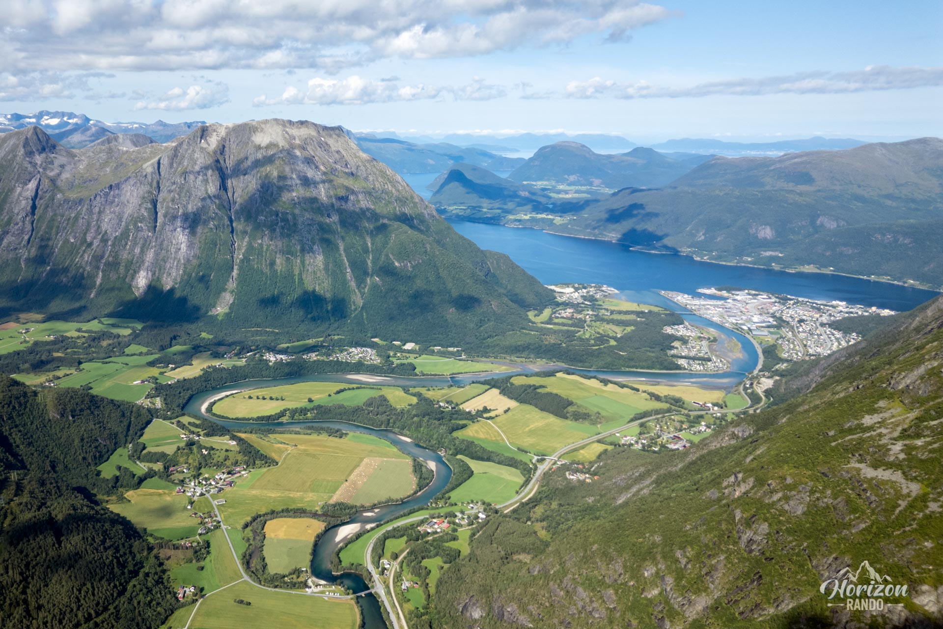
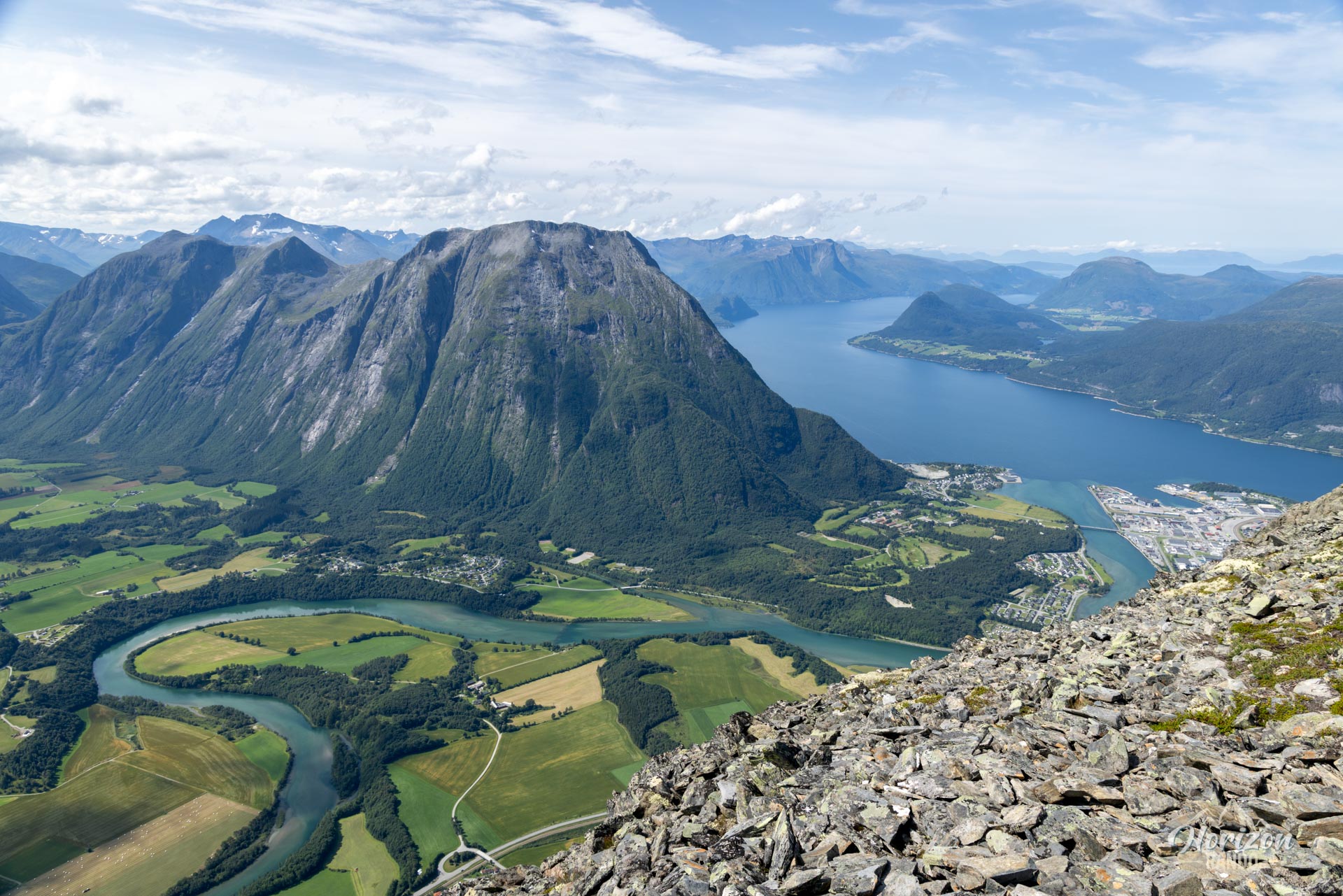
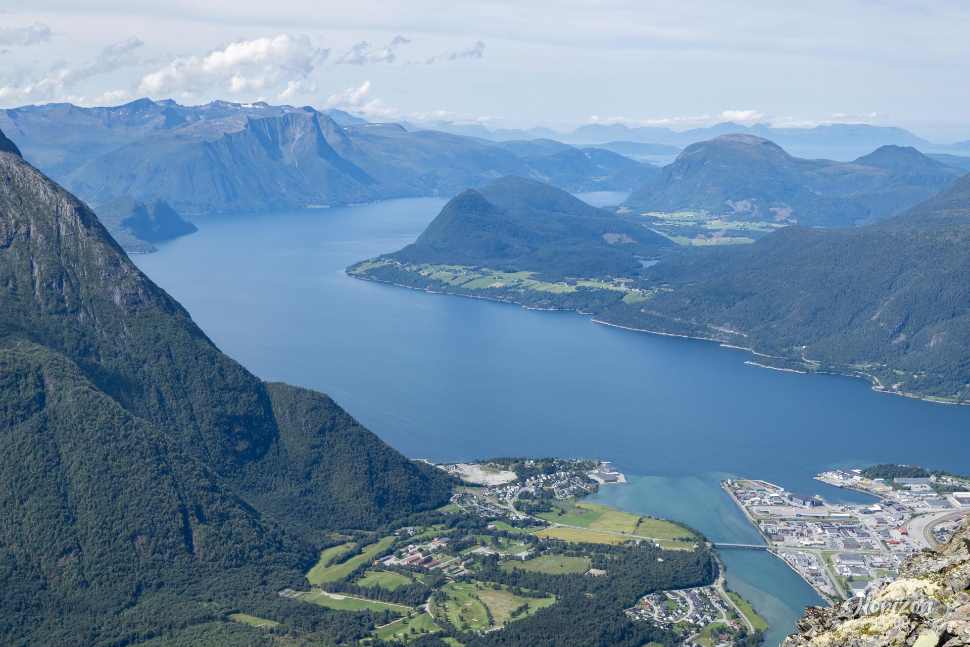
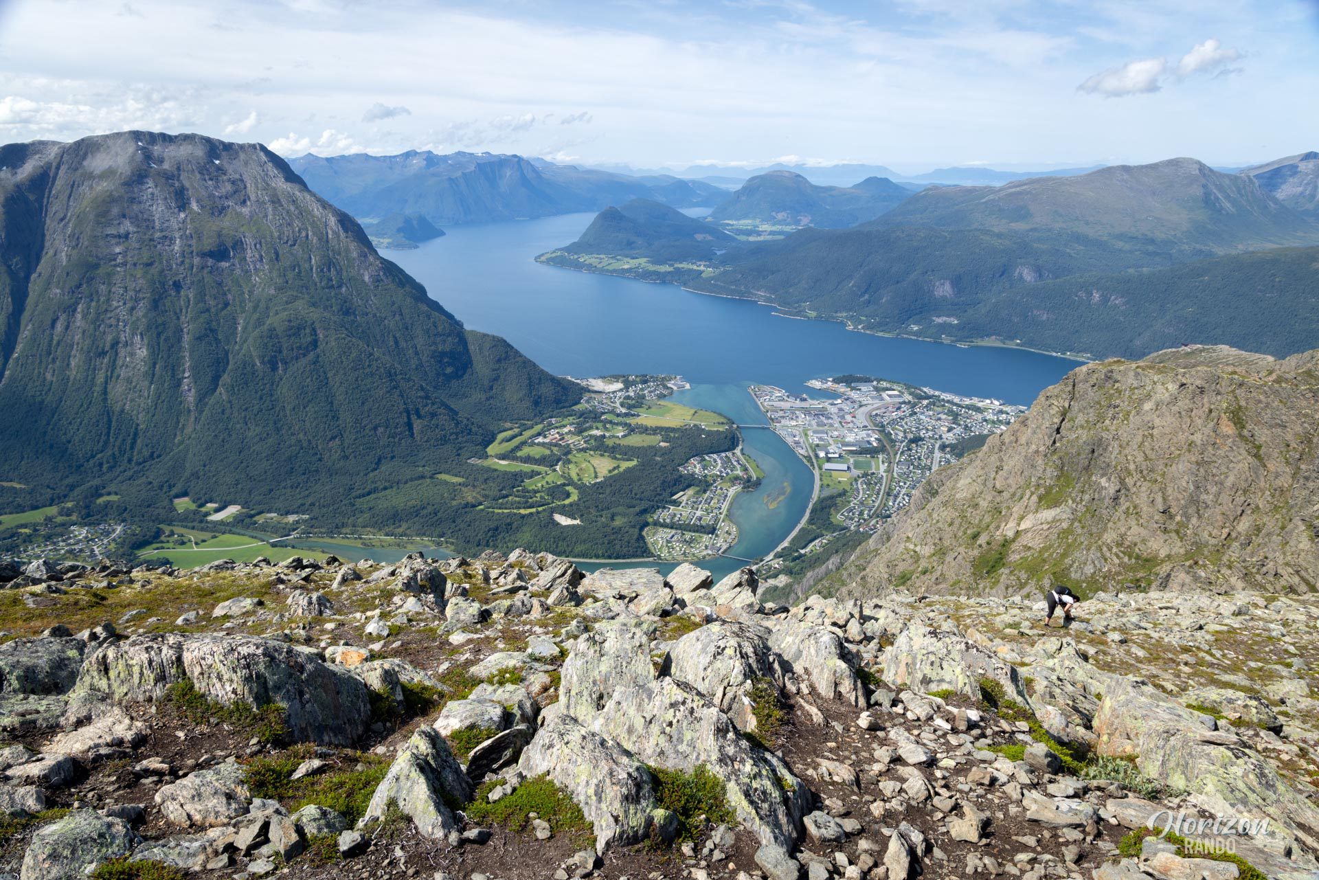
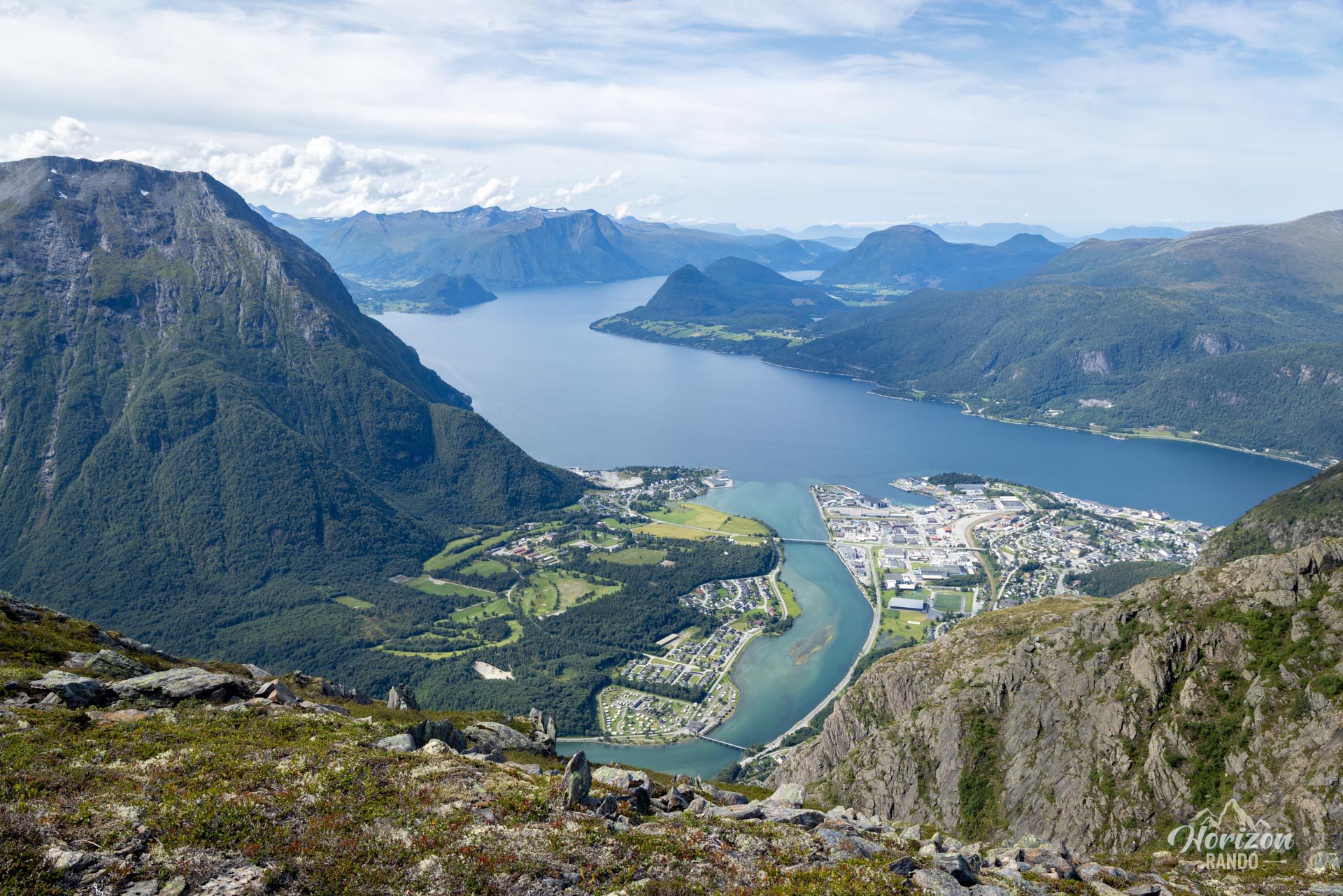
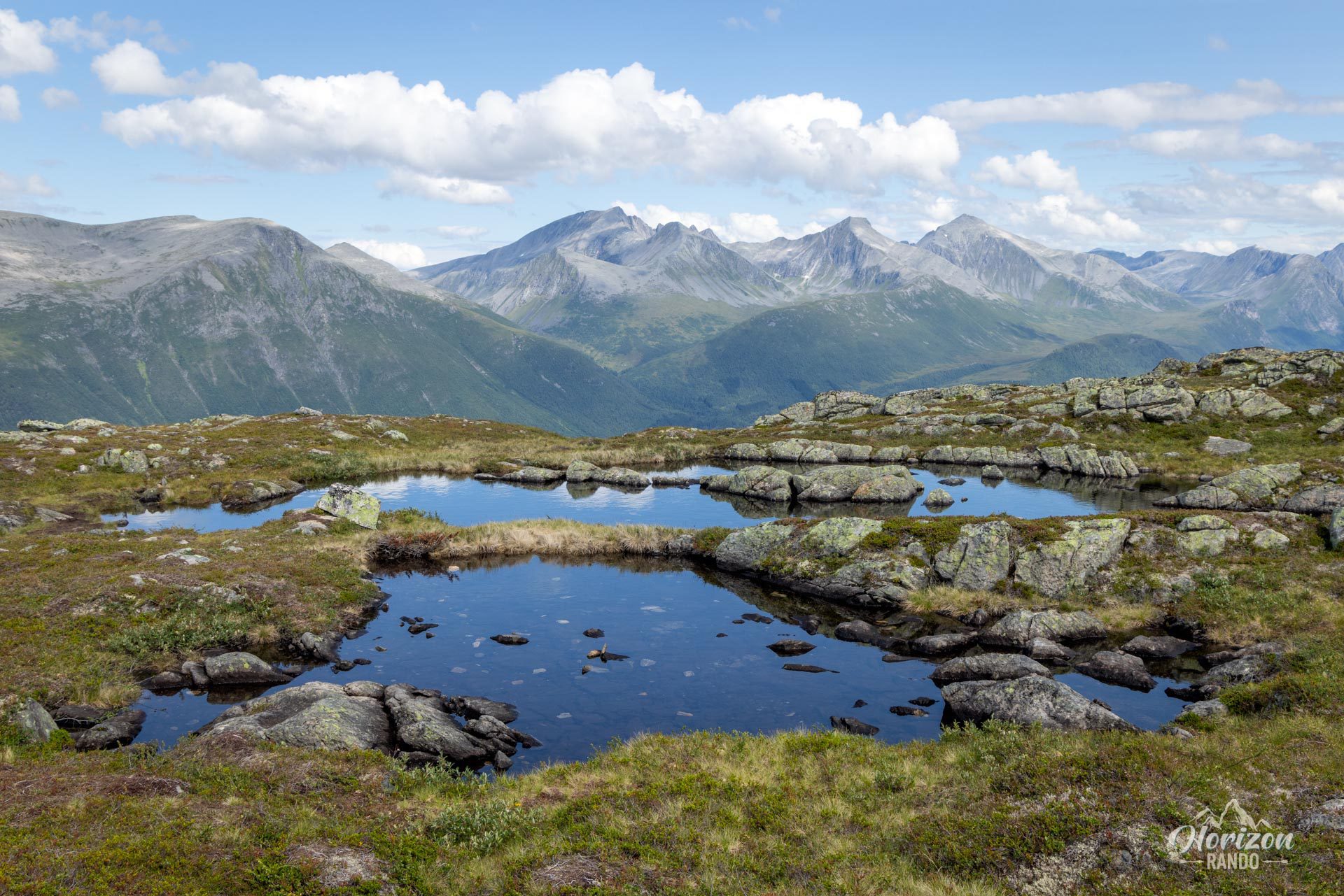
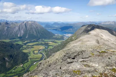
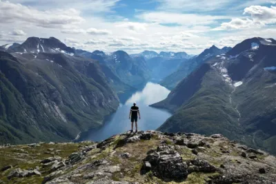
The Romsdalseggen route is often cited as one of the most beautiful hikes in Norway and promises an unforgettable adventure. Prepare for a spectacular ridge walk with breathtaking, panoramic views of the surrounding fjords and the majestic Romsdalen Valley. As you hike, your gaze will stretch far and wide, taking in iconic alpine peaks, including the impressive Trollveggen (Troll Wall)—the highest vertical rock face in Europe, rising 1,100 meters above the valley.
Please note that this popular one-way hike takes you directly to the heart of the town of Åndalsnes without returning to the starting point.
Map and elevation profile of the hike
Romsdalseggen Ridge Hike
Description and difficulties of the hike
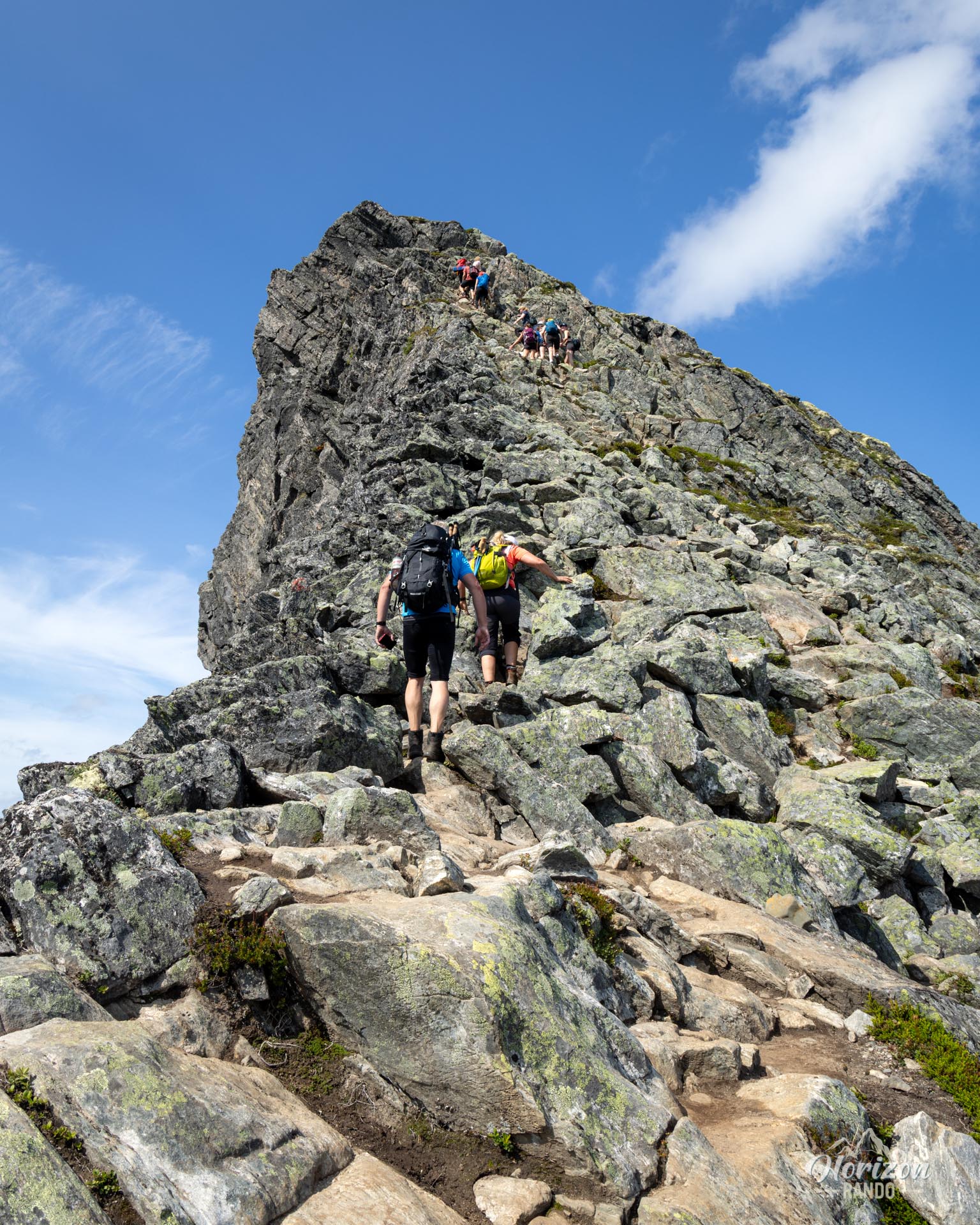
Romsdalseggen is a long and physically demanding hike. With an elevation gain of 950 meters and an elevation loss of 1,320 meters, the route mainly follows rough, rocky terrain. Expect steep uphill and downhill sections, as well as scree sections that require constant attention.
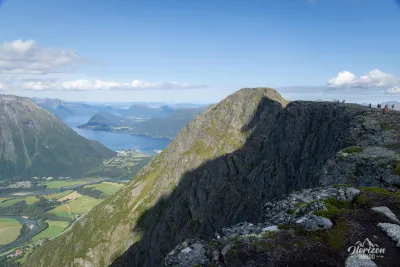
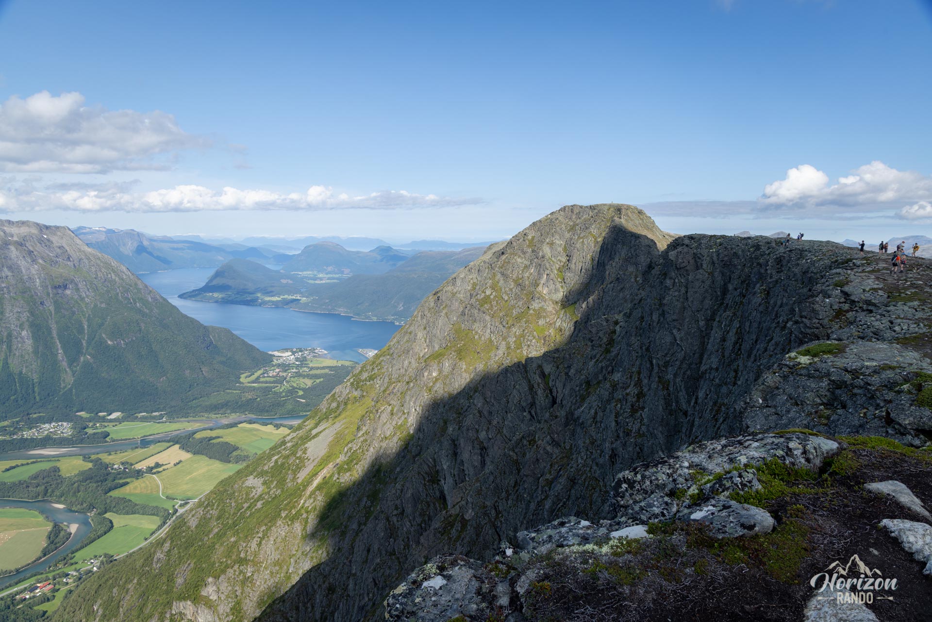
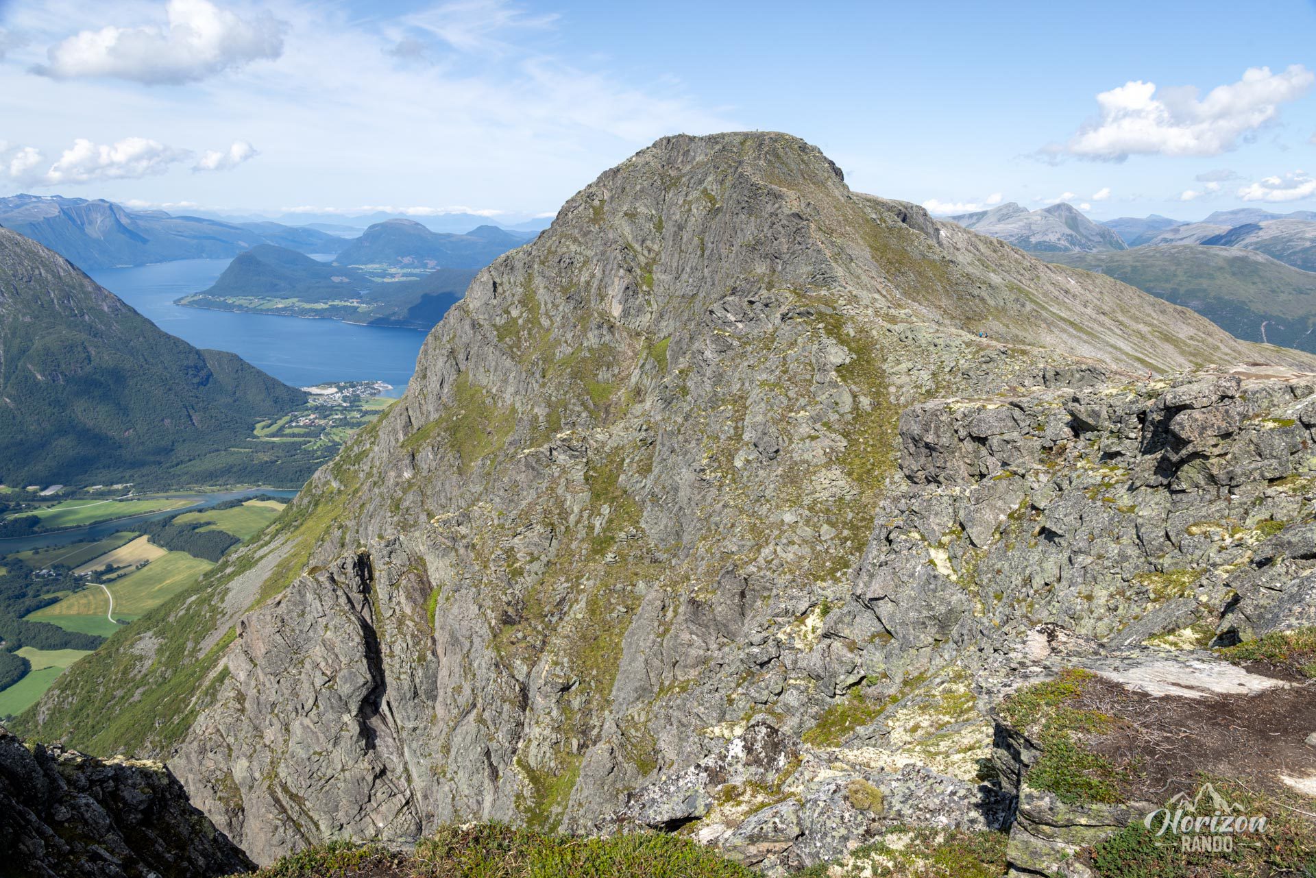
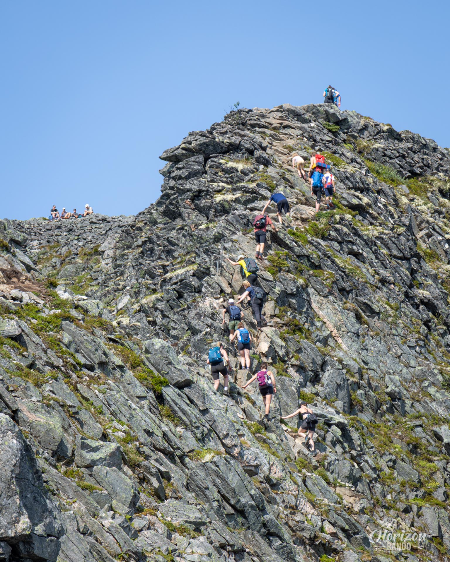
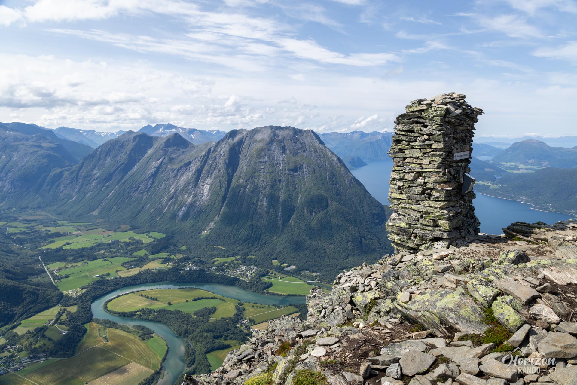
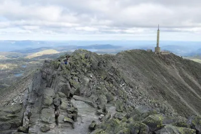
The initial ascent sets the tone with its sustained gradient. On the ridge, some sections are exposed and can be intimidating. There are slightly aerial passages, especially around the first summit, Mjolvafjellet (1,216 m), which require some scrambling and are secured by chains.
The good news is that, unlike most Norwegian trails, this route is clearly marked with regular signs and even kilometer markers! In high season, the large number of hikers will also make it easy to follow the trail.
What you'll love
- Breathtaking panoramas: Let the beauty of the landscape overwhelm you. Look out over the Romsdal Valley and watch the Rauma River wind its way below. Face the majestic Trollveggen and the many surrounding peaks.
- An unforgettable crossing: Experience the unique thrill of walking along a long ridge, with magnificent panoramas on both sides.
- A clearly marked trail: Enjoy peace of mind with impeccable signage, a significant advantage when navigating complex terrain.
Practical information
Best time to go
The bus runs from mid-June to mid-October, when the access road is open. However, please note that snow can remain on the ridges until early or even mid-July. Be sure to check the trail conditions before you set off.
Descent by cable car
To save your knees, you can take the Romsdalsgondolen cable car between Nesaksla (715 m) and Åndalsnes. Departures are approximately every half hour.
One way hike
If you have two vehicles, you can leave one at your destination before heading to your starting point. However, the most common option is to book a dedicated bus that connects the Åndalsnes bus station to the starting point in Venjedalssetra (indicative cost: NOK 250 per person for the 2025 season).
Photos
See all 19 photos →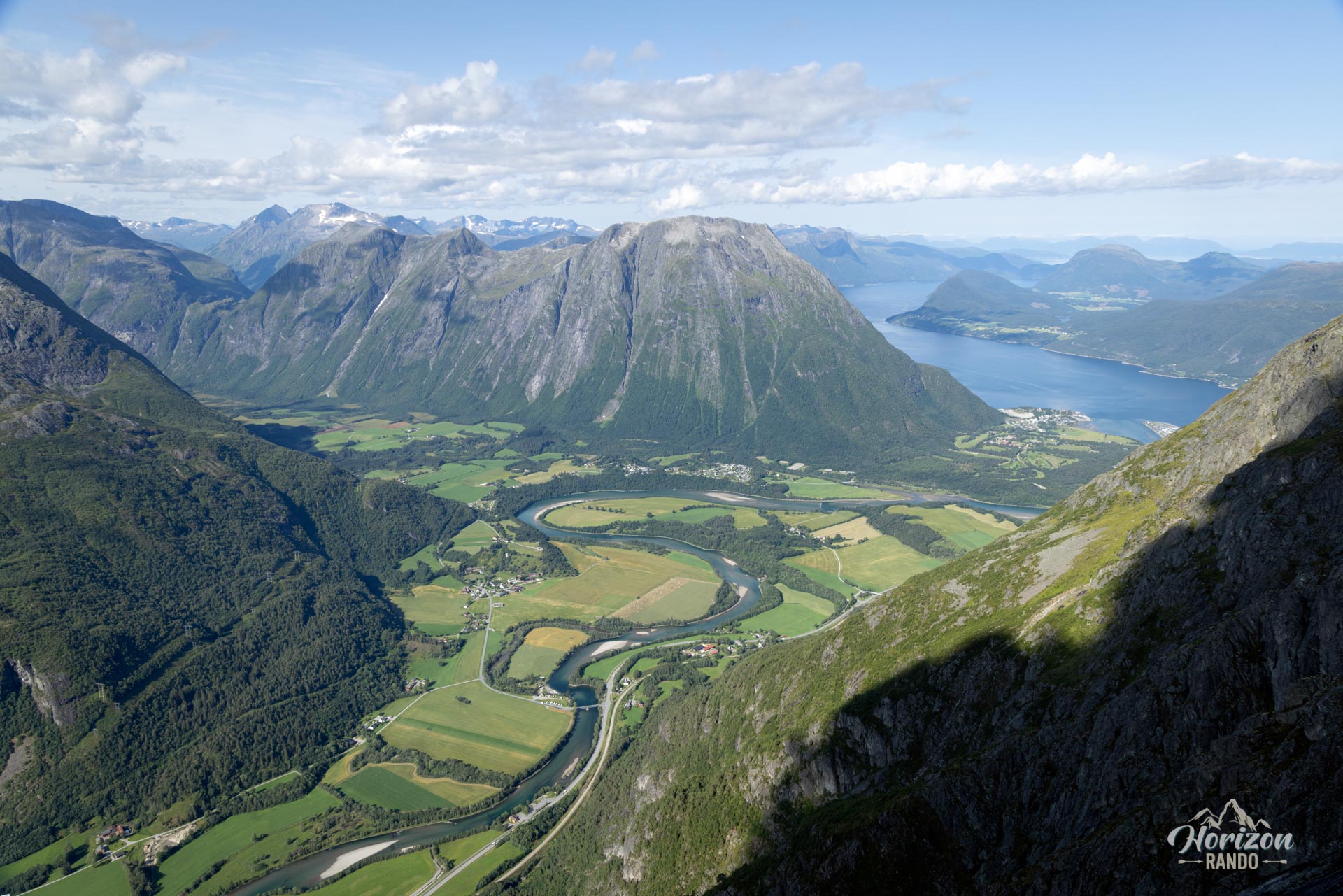
More hikes to do in Norway
Nearby hikes



















Printed from www.horizonrando.fr/en/norway/romsdalseggen/