





Trollkirka Hike
Key facts about the hike
- Duration
- 3h Estimated time, short breaks included (photos, water, snacks), picnic not included: how it is calculated
- Distance
- 6.6km
- out and back
- Elevation gain
- 460m
- Type of route
- Out and back
- Maximum altitude
- 525 m
- Vertiginous Five levels, depending on how exposed the route is: the levels in detail
- Slightly
- Marked
- No
- Popularity
- High
- County
- Møre og Romsdal
- Start point
- 62.86624, 7.27365
- Activity
- Hiking
Hike overview
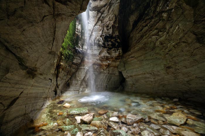
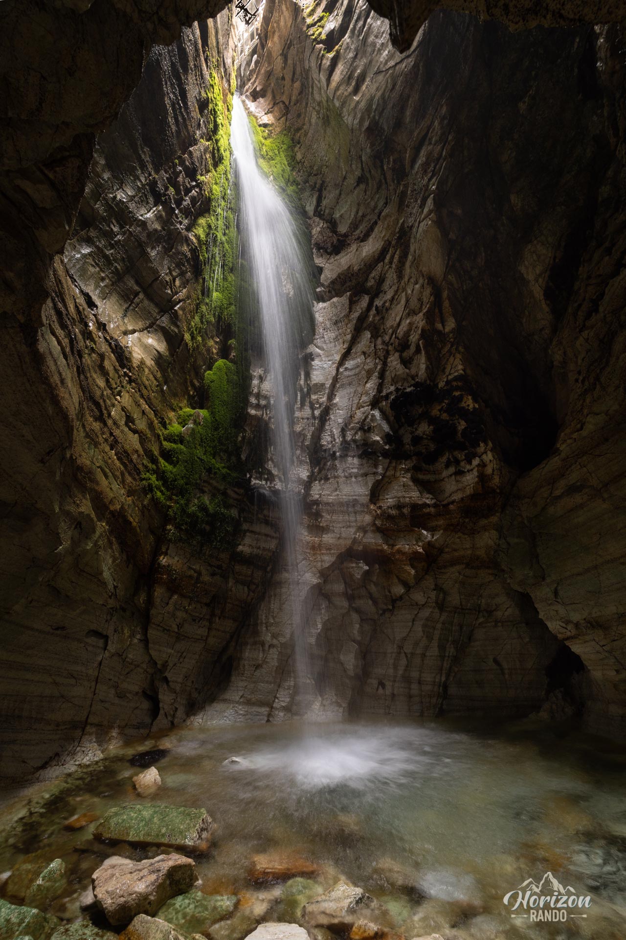
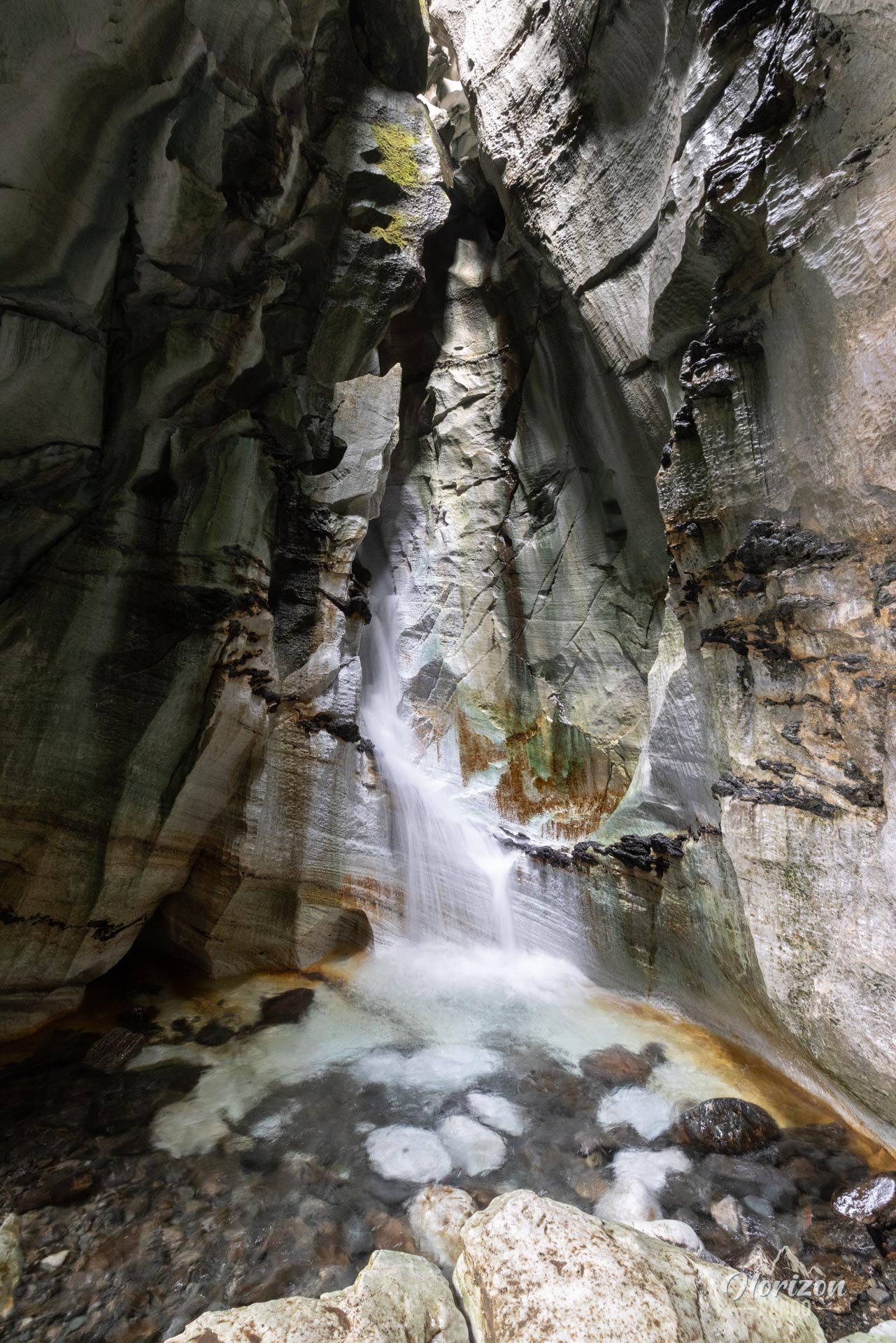
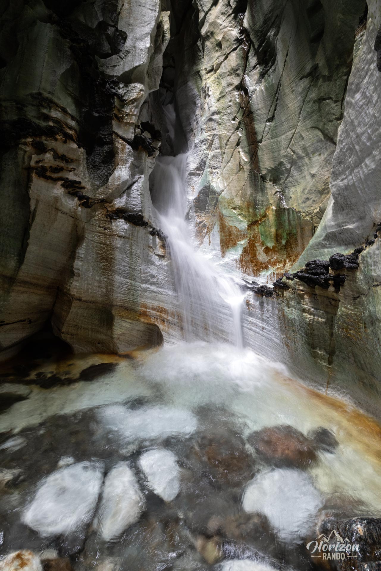
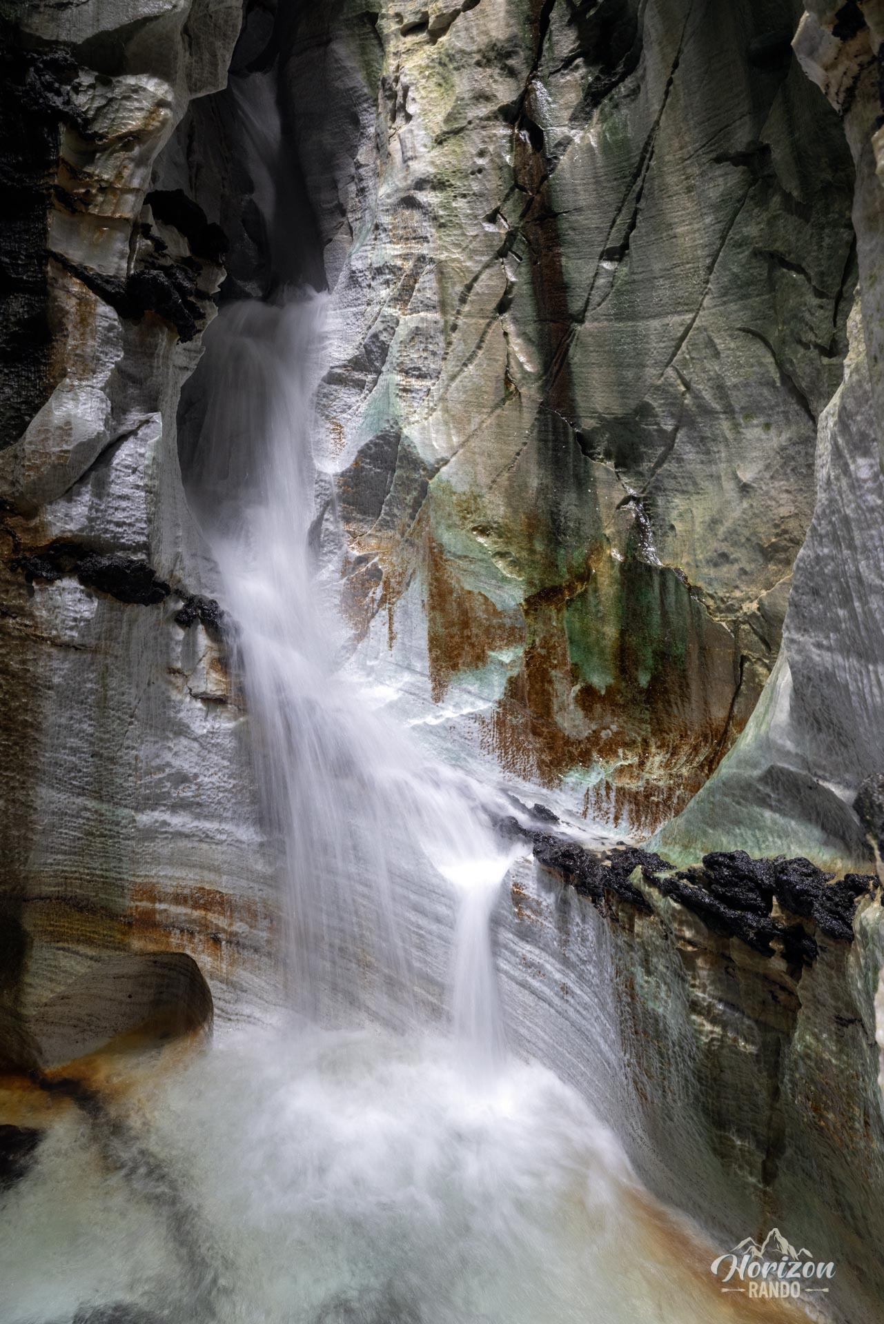
Trollkirka, meaning “troll church,” is not a religious building, but a natural wonder located near Norway's famous Atlantic Road. Prepare for an immersive hike winding through a pine forest before revealing its secret: a fascinating network of marble and limestone caves. Patiently carved by water over thousands of years, these cavities are now home to underground rivers and impressive waterfalls.
Map and elevation profile of the hike
Trollkirka Hike
Description and difficulties of the hike
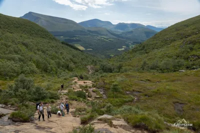
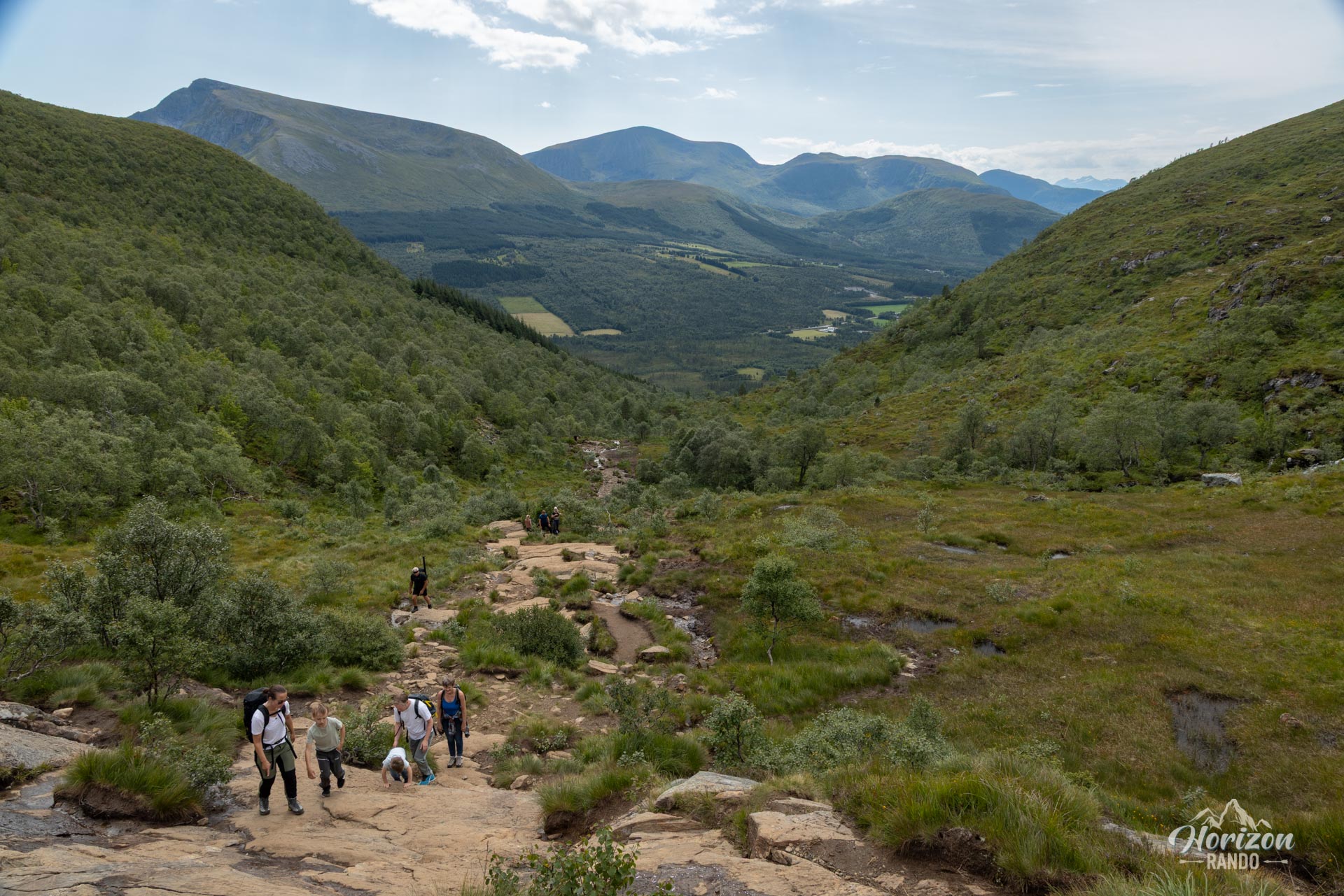
Don't rely solely on the many families you'll encounter: although the Trollkirka hike is very popular and accessible to many, it requires a certain amount of caution. The trail is rough and climbs steadily, sometimes steeply. Expect to cross many rocky passages that can be slippery, a risk that is heightened inside the caves due to the very high humidity.
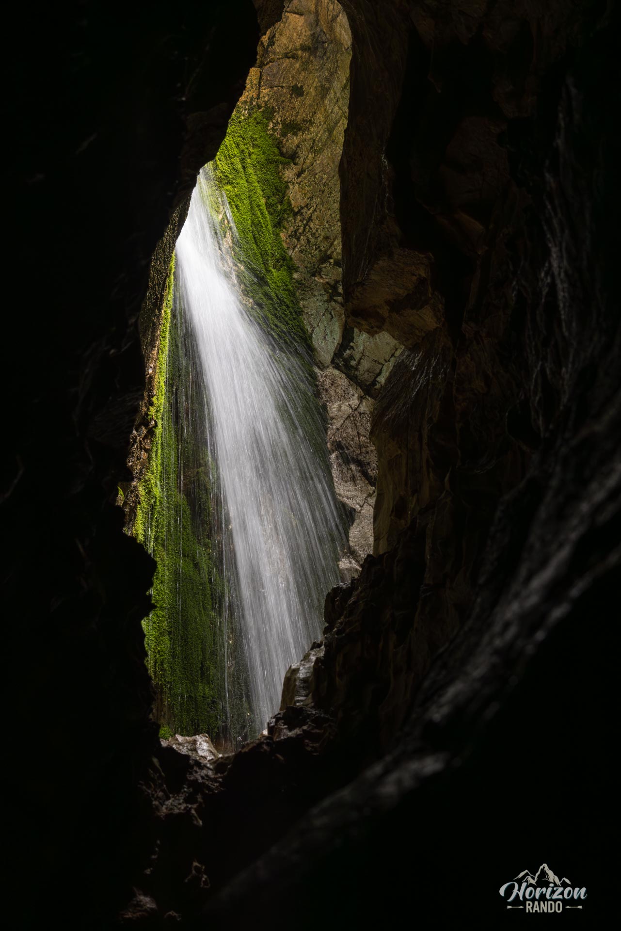
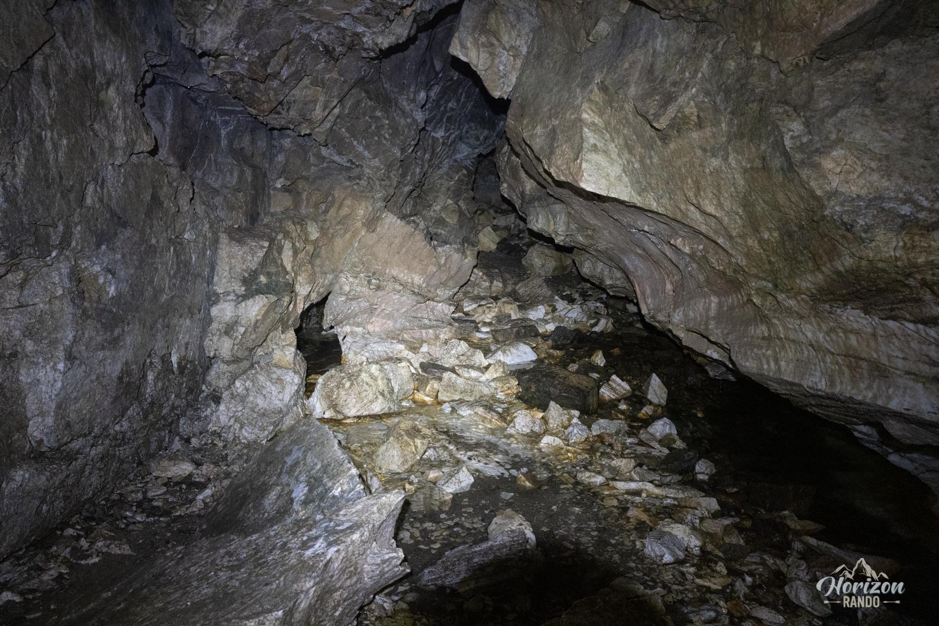
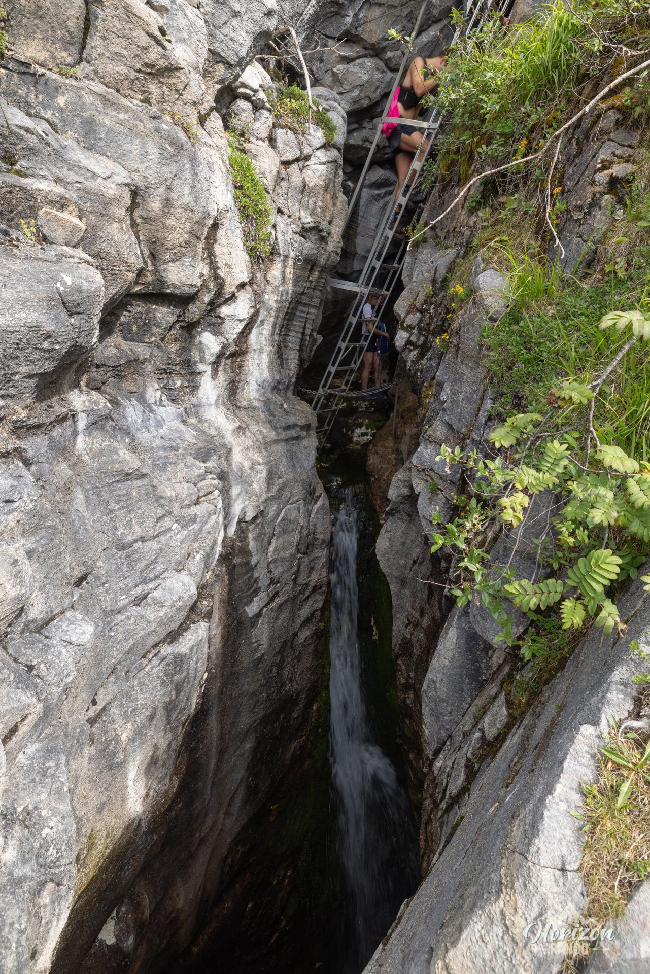
Exploring the caves is at the heart of the adventure, but it comes with its own challenges. It is completely dark inside, so a headlamp is essential (much more practical and safer than using the flashlight on your phone). Be particularly careful on the wet, slippery rocks inside. To access the second cave, you will need to climb a fixed ladder, which may be daunting for those who are afraid of heights.
Although the route is not marked, the trail is well-defined and easy to follow thanks to clear signs at each intersection. Access to the first two caves is obvious. The third cave, however, is more discreet and requires a keen eye to spot the entrance.
What you'll love
- Magical atmosphere: Enter a labyrinth of natural caves where light reflects off the marble and limestone.
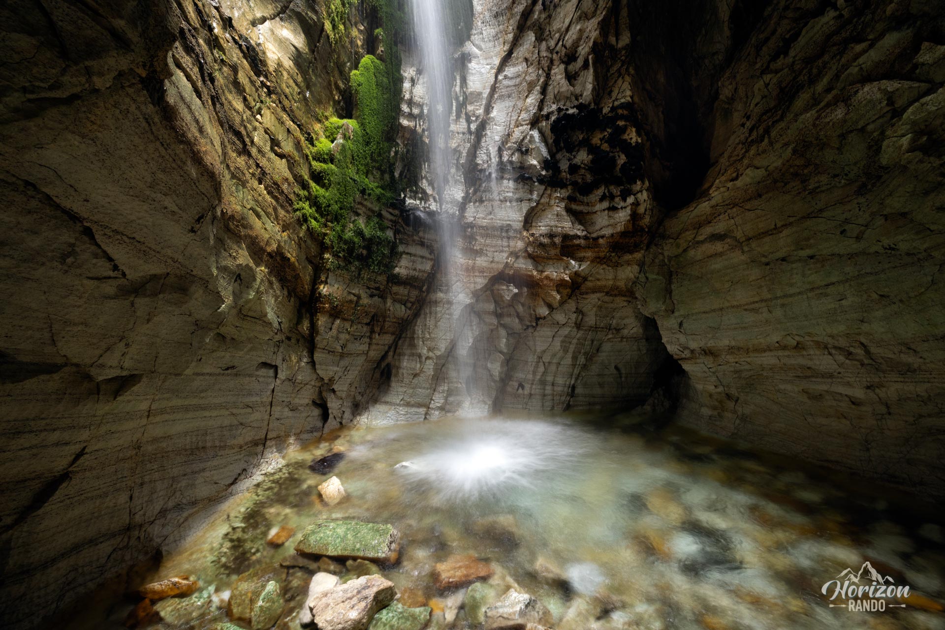
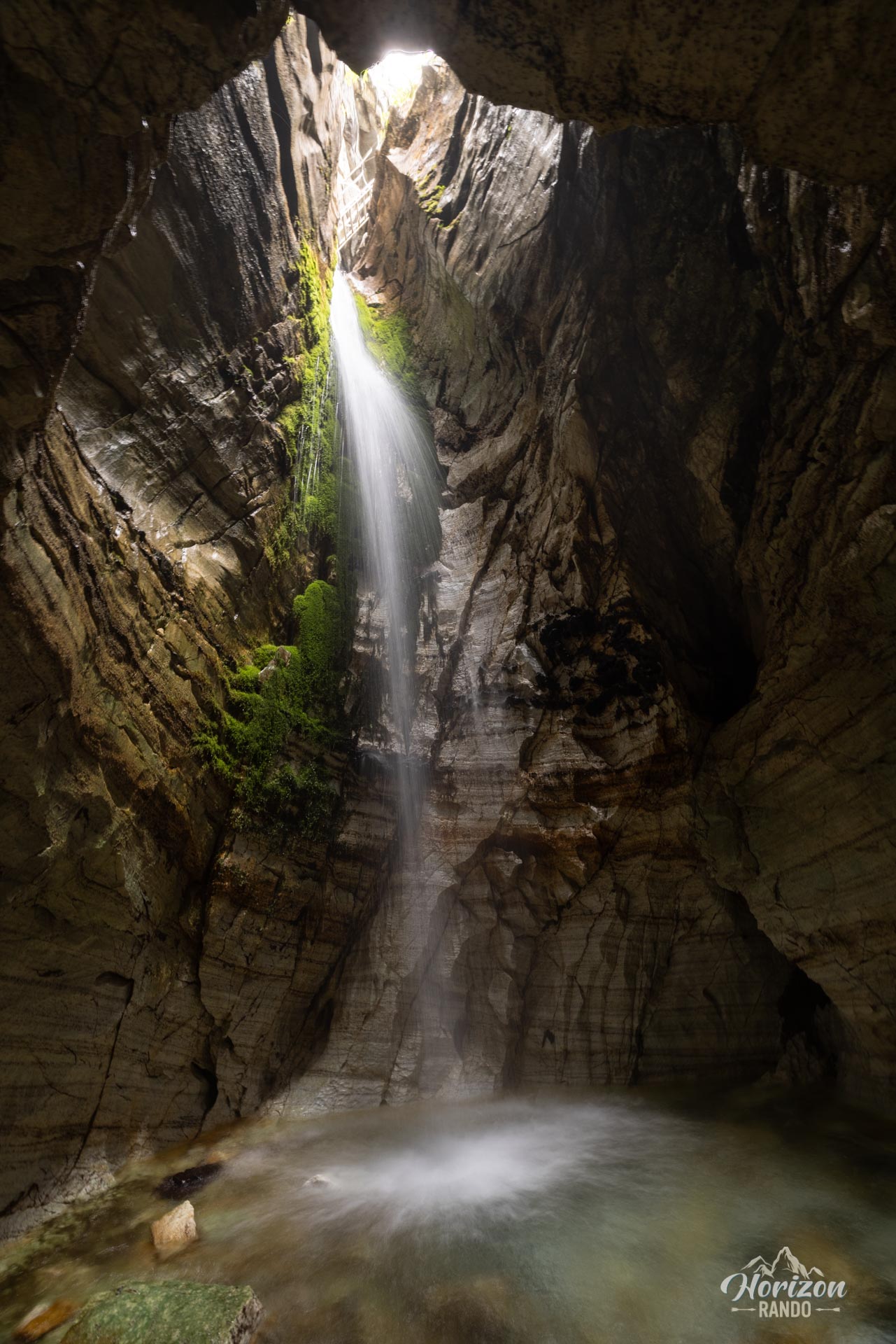
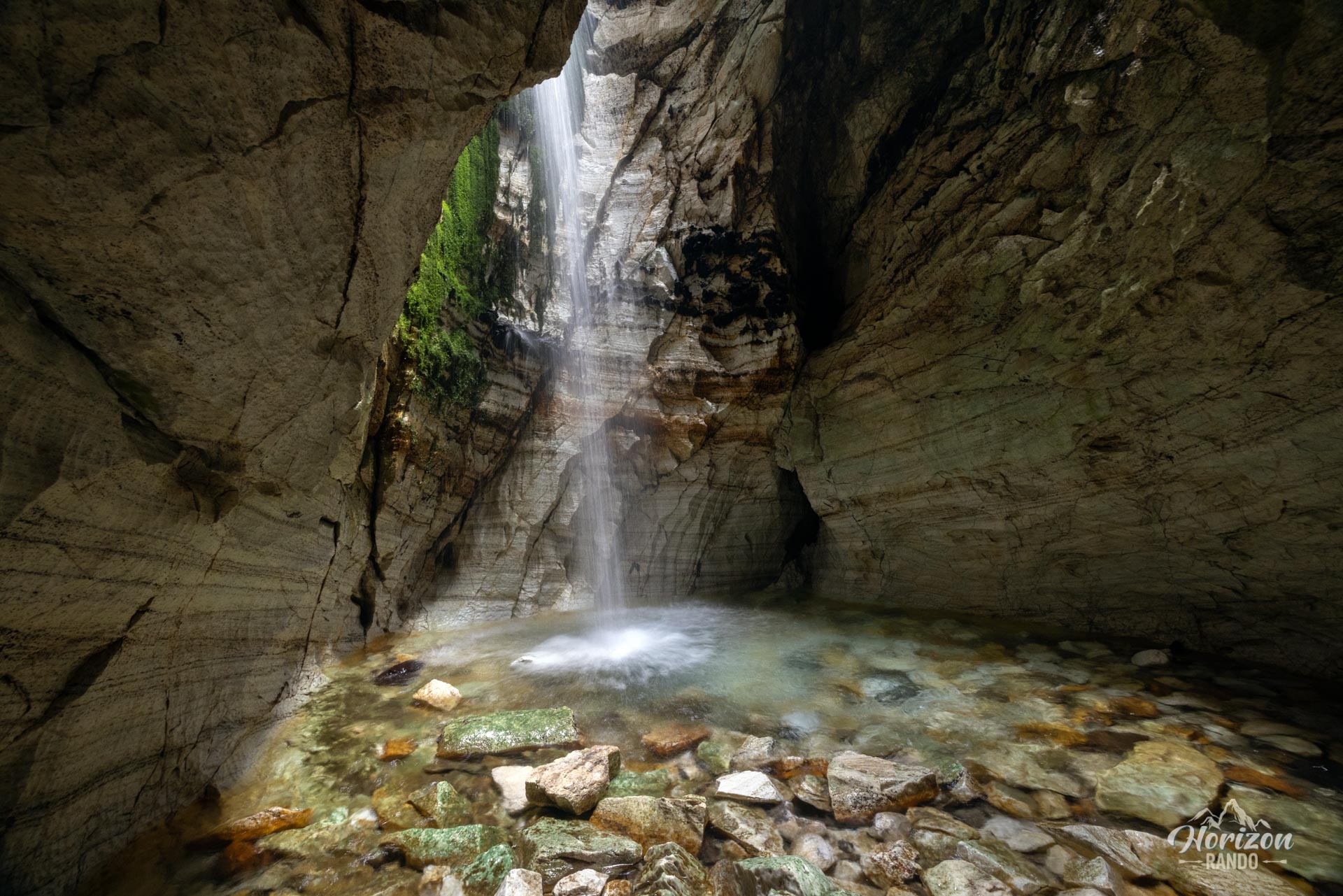
- 14-meter underground waterfall: Admire the main waterfall as it reveals itself in a spectacular chamber.
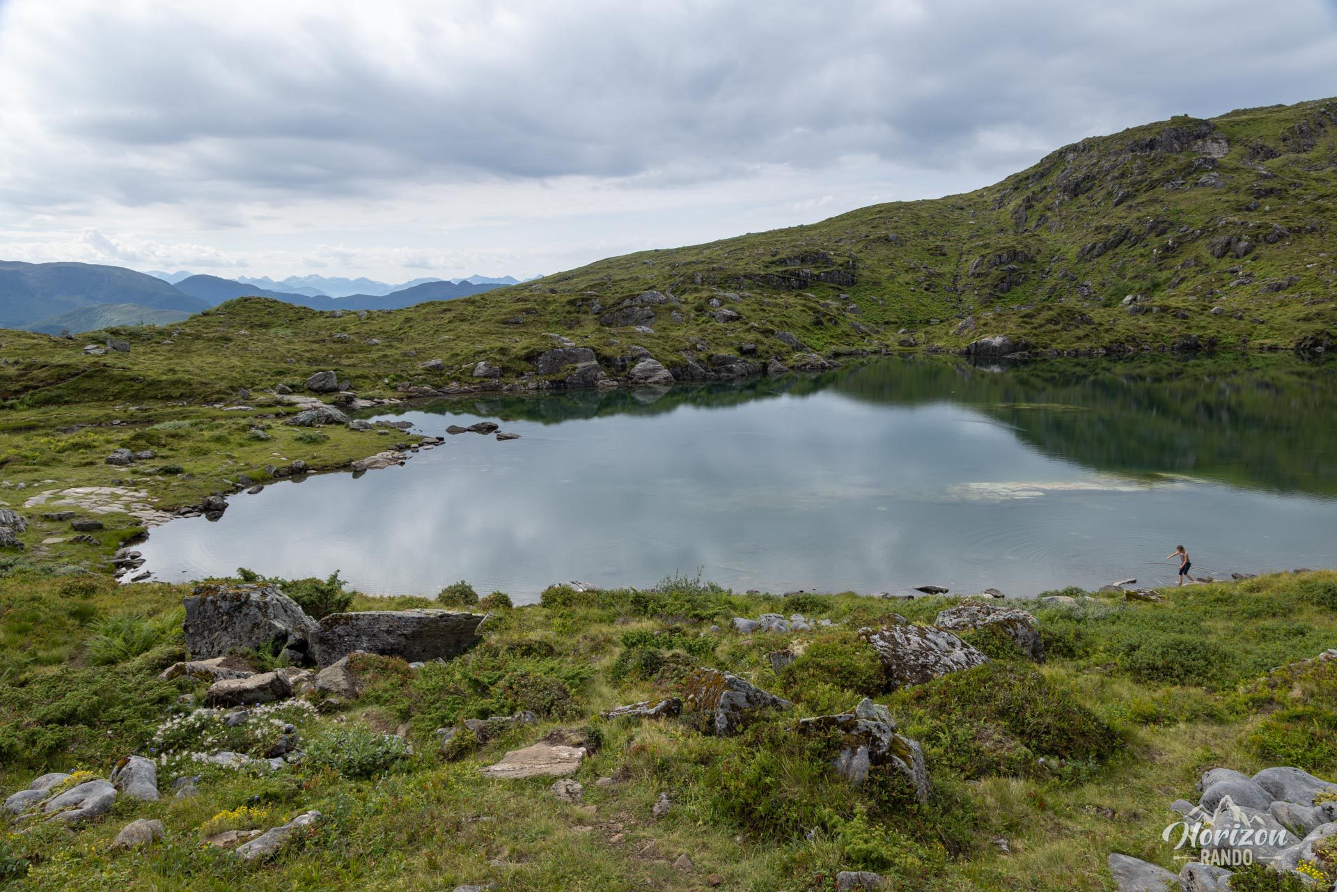
- Trollkirkevatnet: A small lake at the top of the caves, ideal for a contemplative break or a refreshing swim in the summer.
What might be less appealing
- Popularity of the site: During busy periods (summer and weekends), the number of hikers on the trail and in the caves can diminish the sense of exploration and adventure.
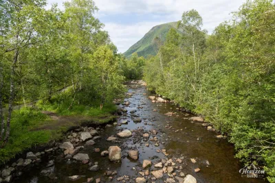
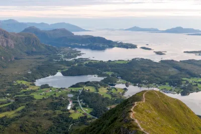
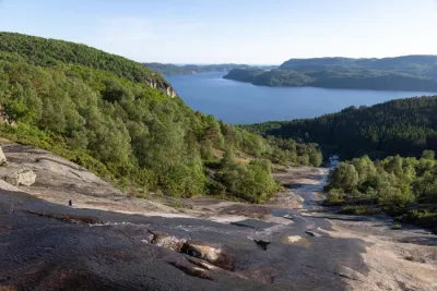
- Ordinary landscapes outside the caves: Although pleasant, the trail to the caves passes through forest landscapes that are fairly typical of the region. The main attraction of this hike is really the caves themselves.
Practical information
Equipment
Don't forget your headlamp! It's essential for safely exploring the caves.
Best time to go
May to October on average. See the FAQ on Norway for more details.
Please note
Don't expect huge caverns at Trollkirka, but rather small, charming caves. It's the atmosphere that makes this unusual and memorable hike so magical.
Photos
See all 14 photos →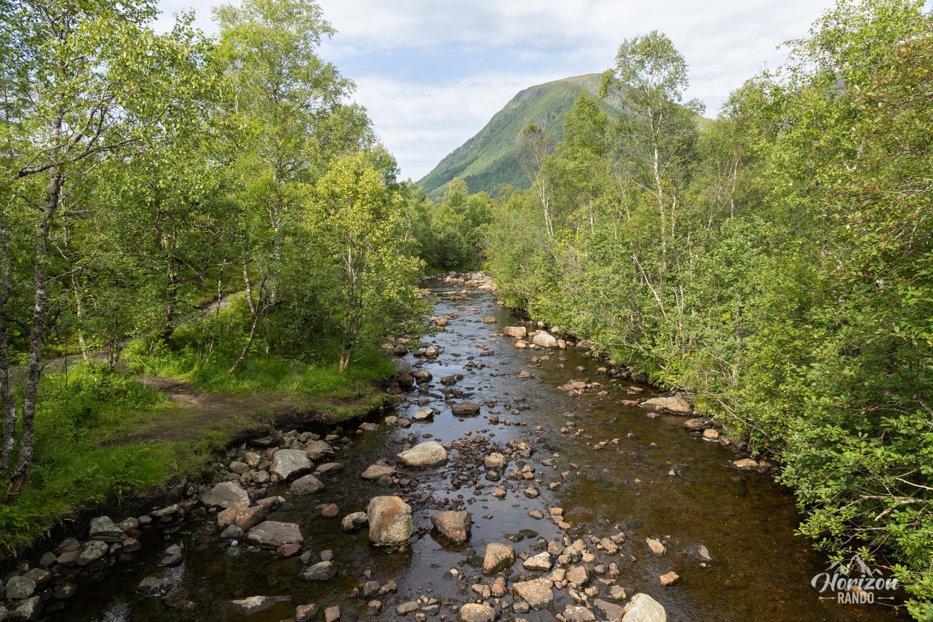
More hikes to do in Norway
Nearby hikes




















Printed from www.horizonrando.fr/en/norway/trollkirka/