





Vardefjellet Hike
Key facts about the hike
- Difficulty
- Easy Hikes are rated from very easy to very hard: my difficulty scale
- Duration
- 2h Estimated time, short breaks included (photos, water, snacks), picnic not included: how it is calculated
- Distance
- 4.3km
- out and back
- Elevation gain
- 390m
- Type of route
- Out and back
- Maximum altitude
- 890 m
- Vertiginous Five levels, depending on how exposed the route is: the levels in detail
- No
- Marked
- No
- Popularity
- Very low
- County
- Møre og Romsdal
- Start point
- 62.29780, 7.21742
- Activity
- Hiking
Hike overview
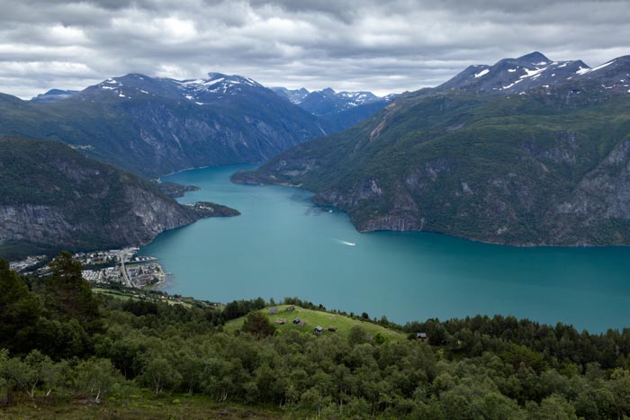
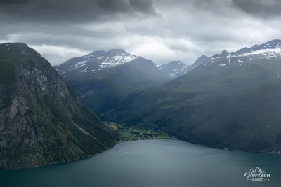
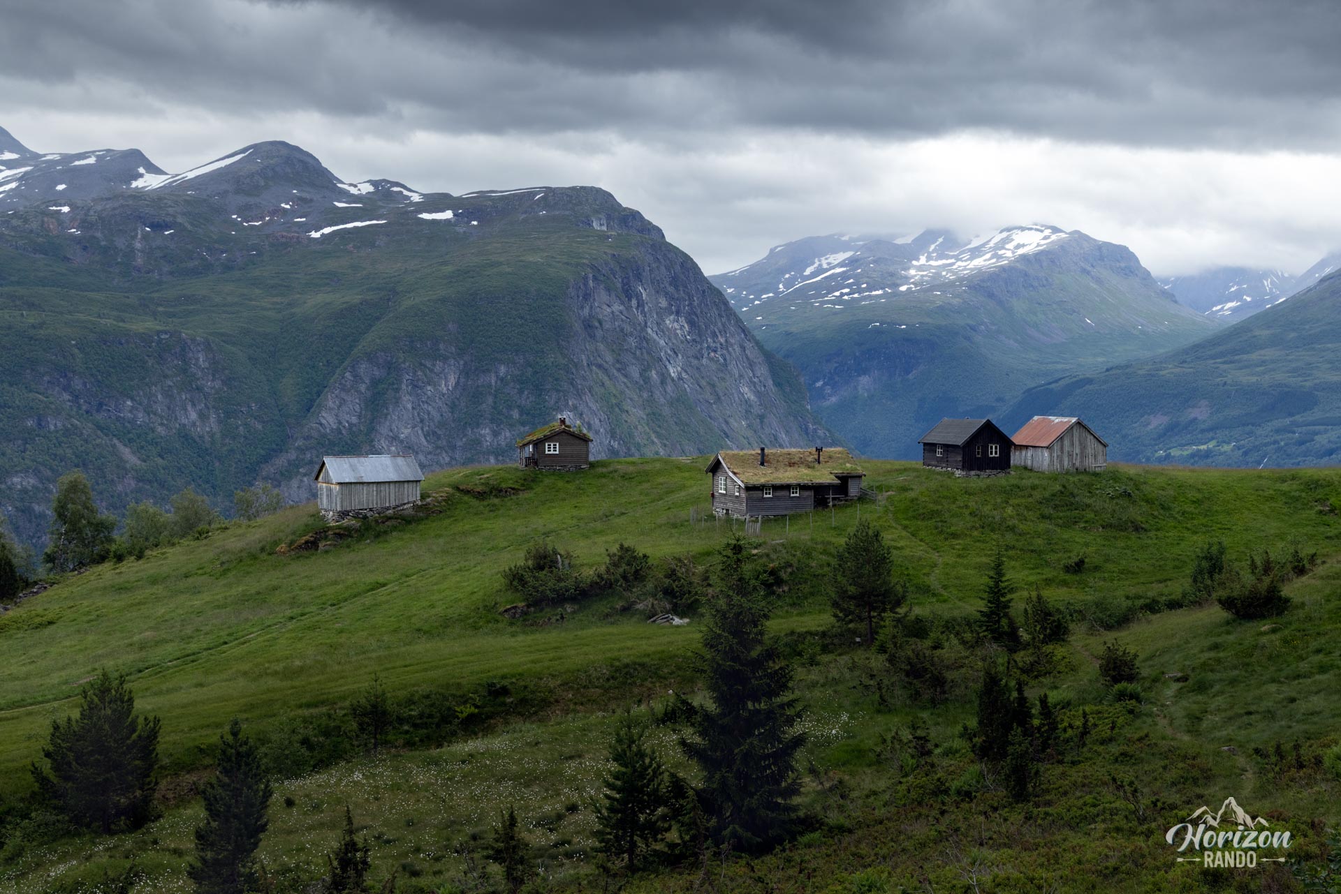
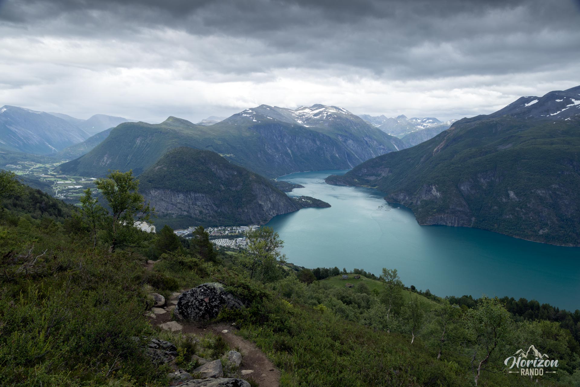
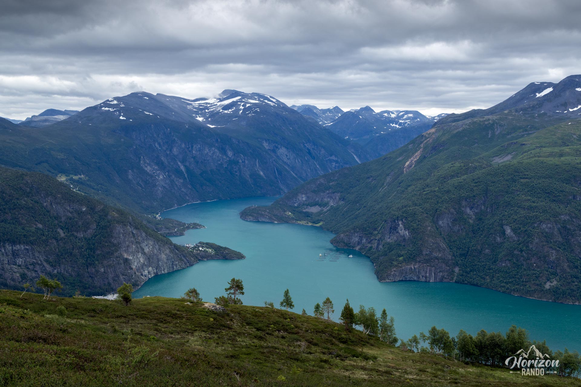
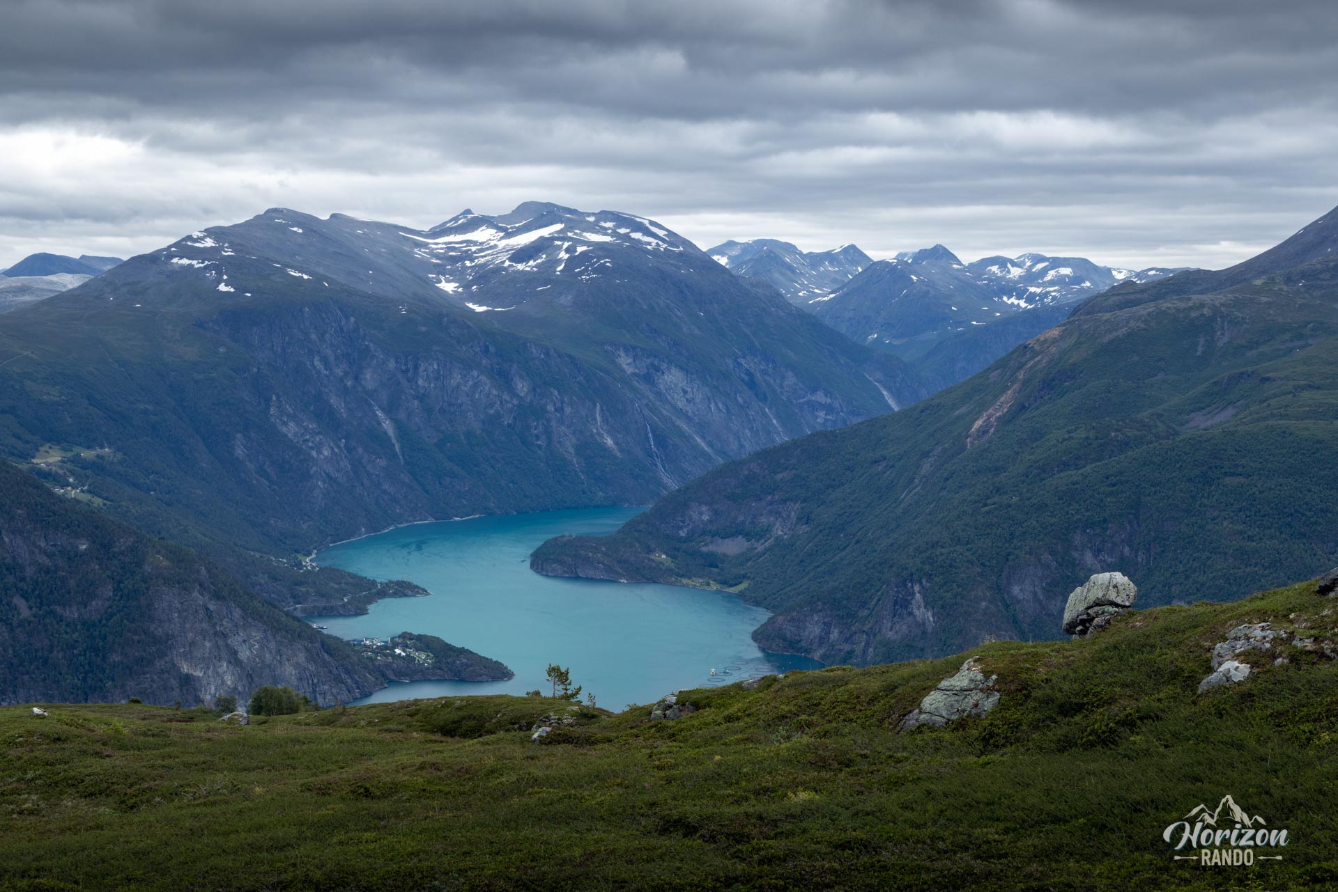
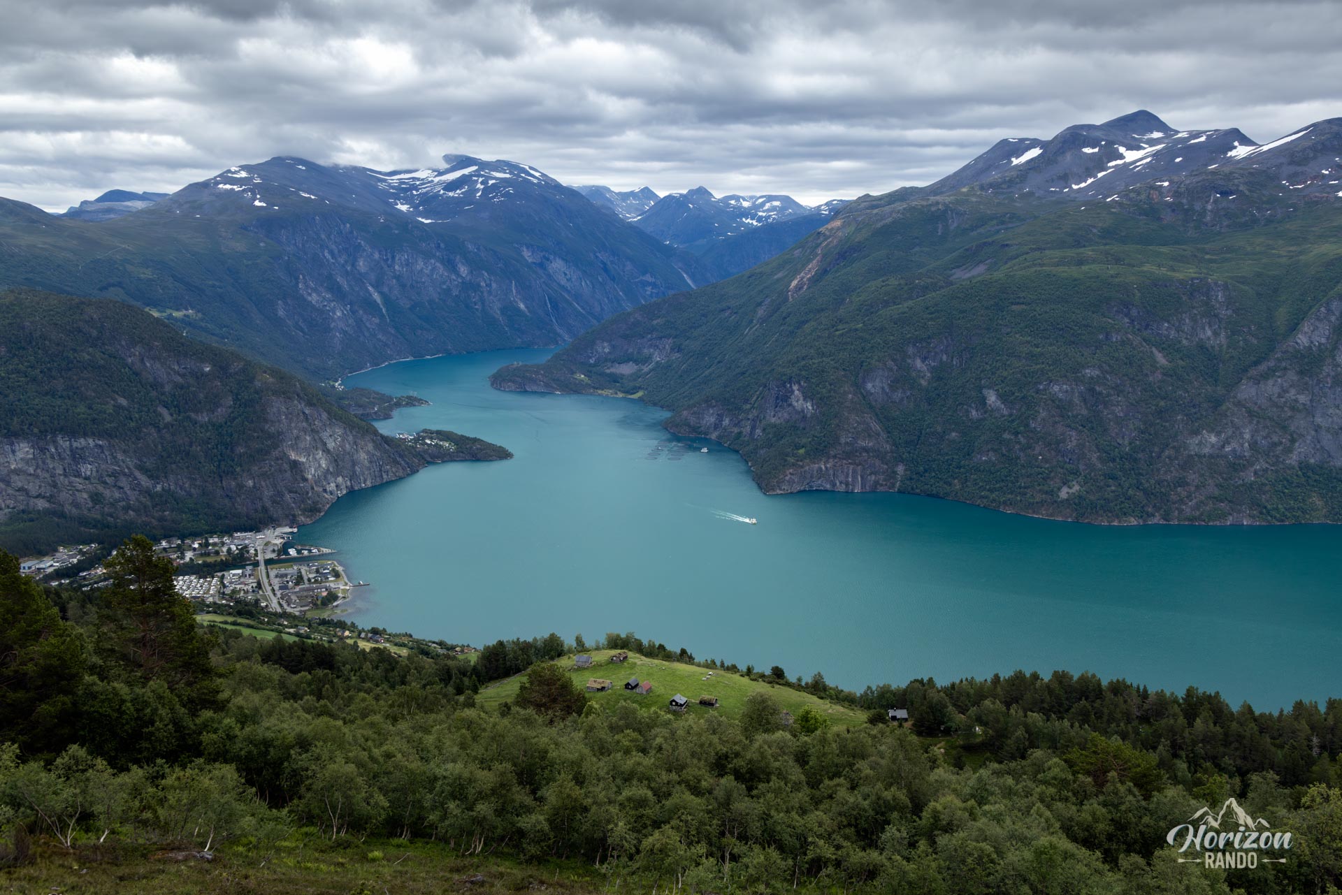
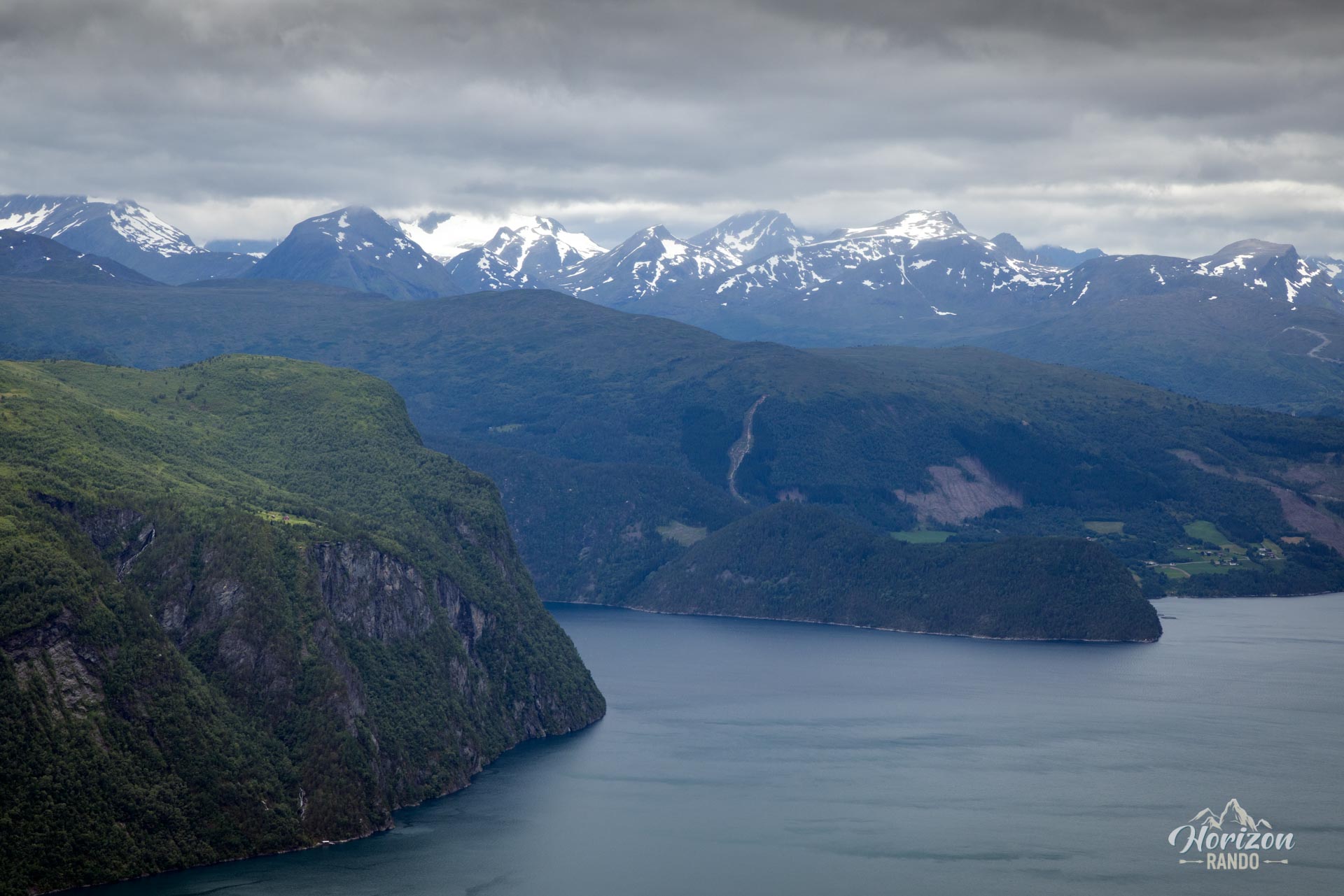
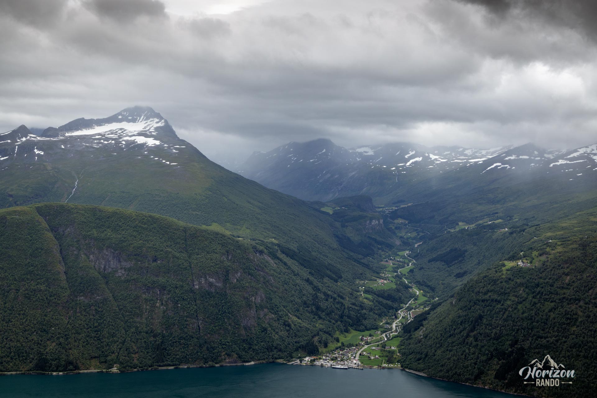
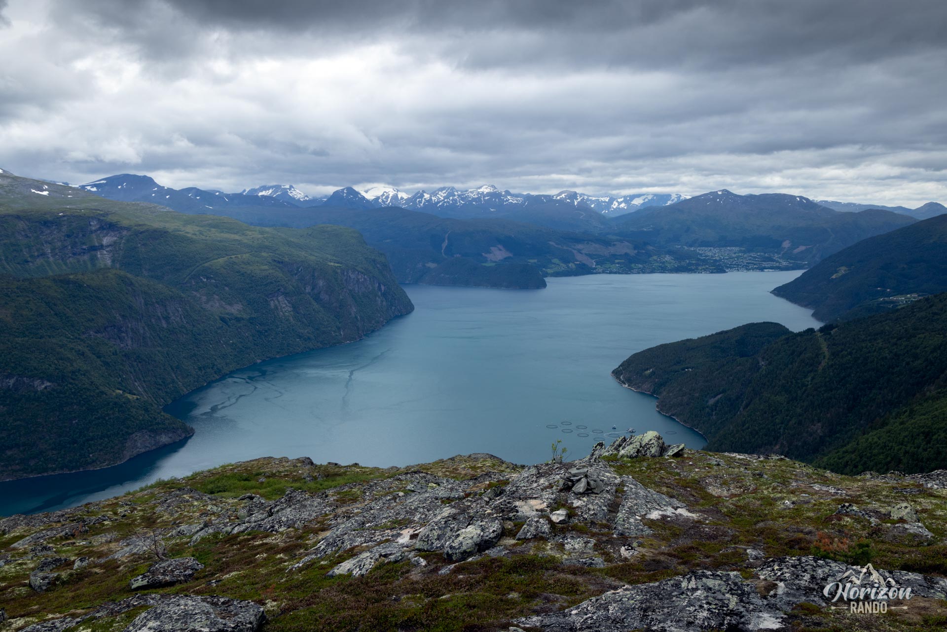
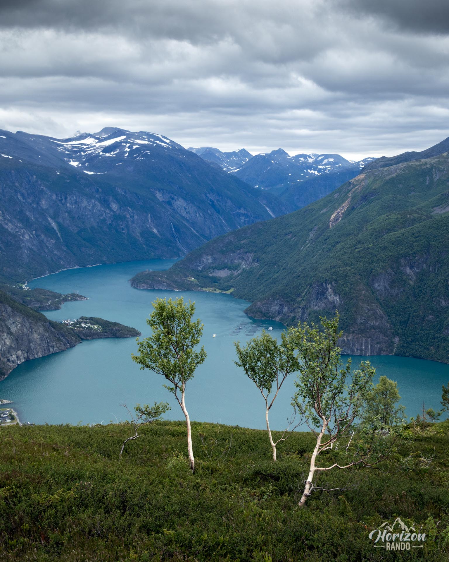
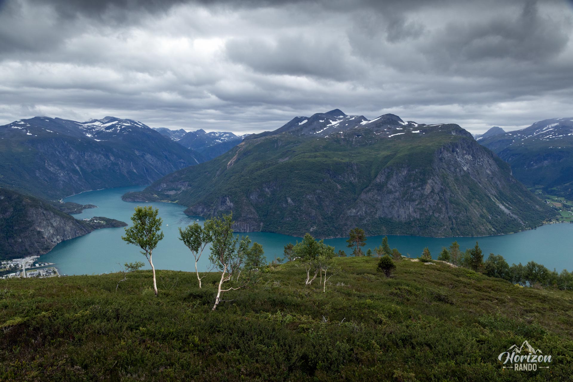
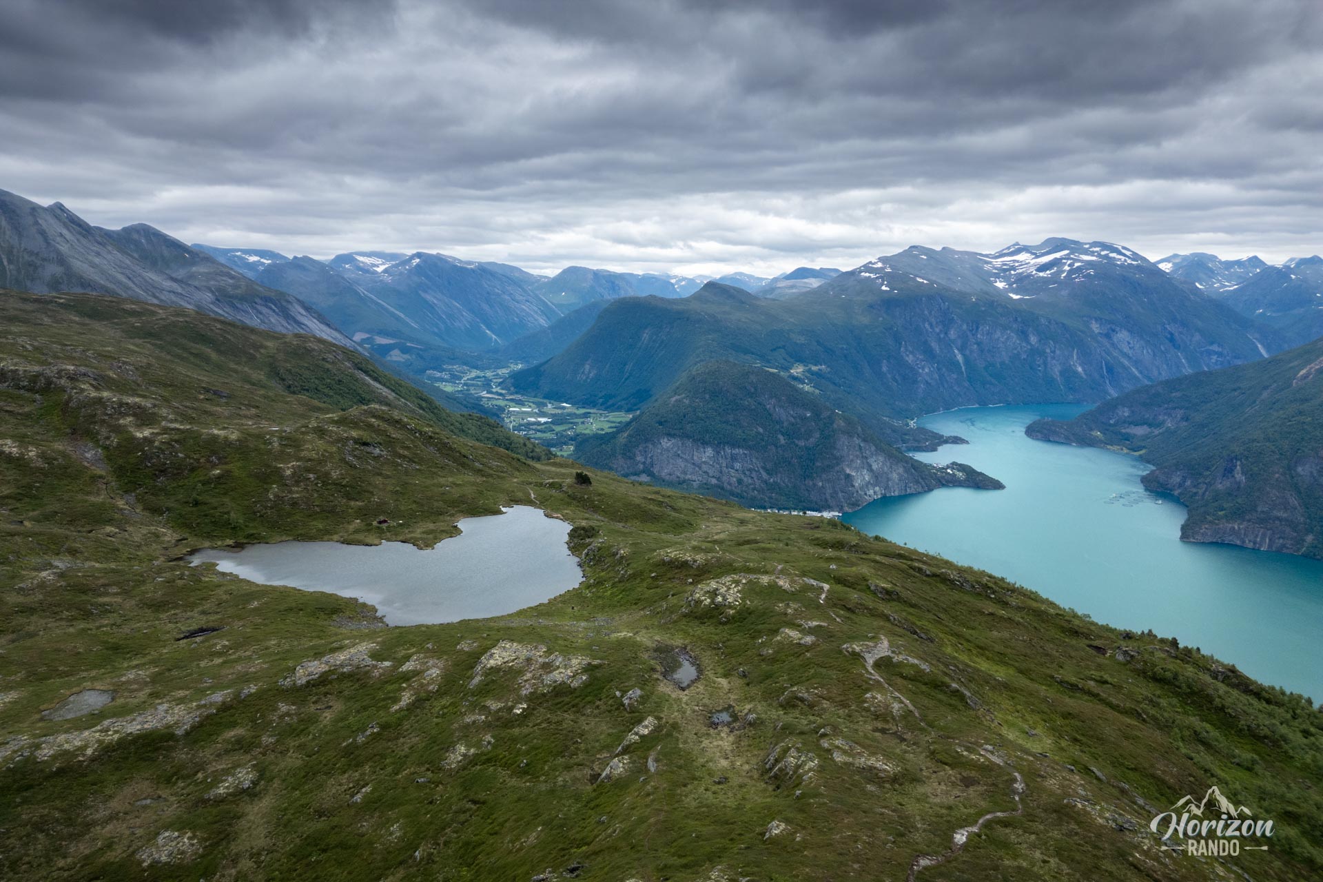
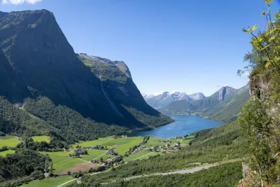
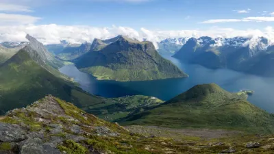
Overlooking the majestic Norddalsfjord, near Valldal in Norway, the Vardefjellet hike offers a concentration of spectacular landscapes. This little-used route is appealing for its excellent effort-to-reward ratio: it provides exceptional views of the fjords and surrounding peaks for moderate physical exertion.
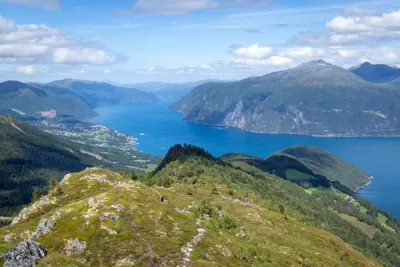
The trail starts at an elevation of about 500 meters, close to the local tree line. This means that nearly the entire hike takes place in open terrain. You will therefore enjoy unobstructed and remarkable views along almost the entire route.
Map and elevation profile of the hike
Vardefjellet Hike
Difficulties of the hike
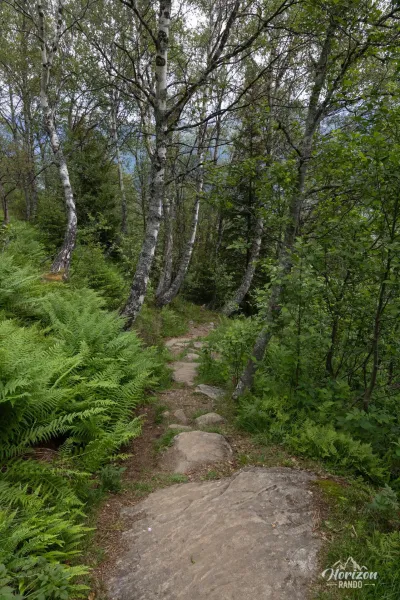
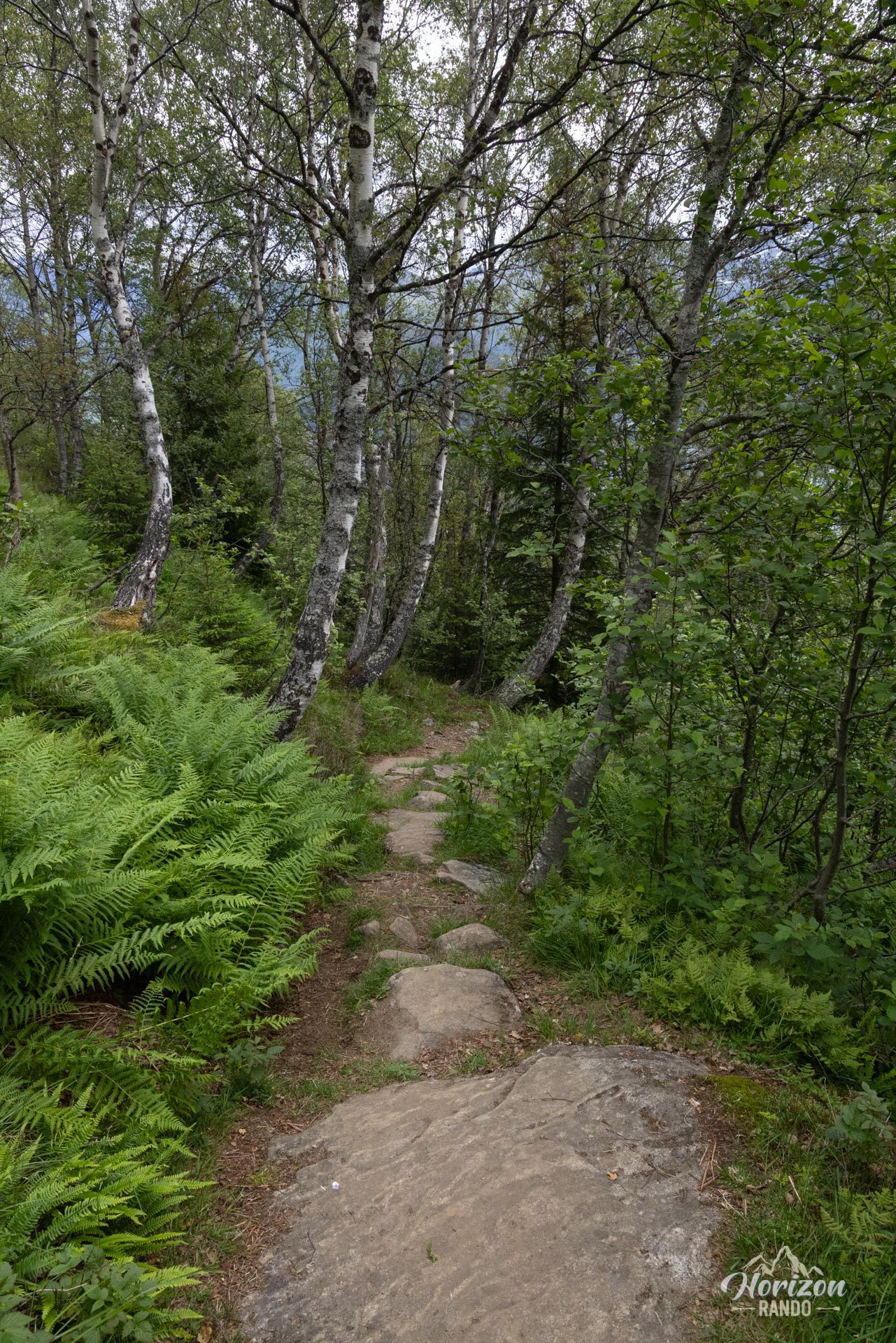
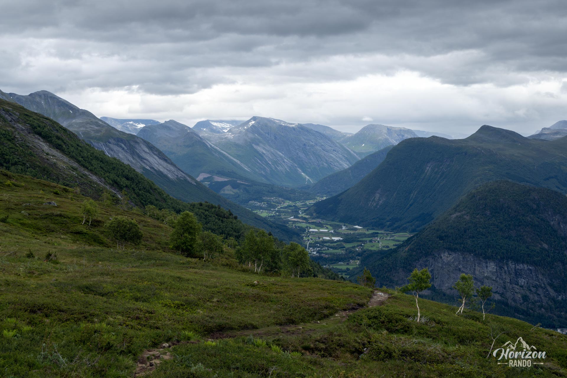
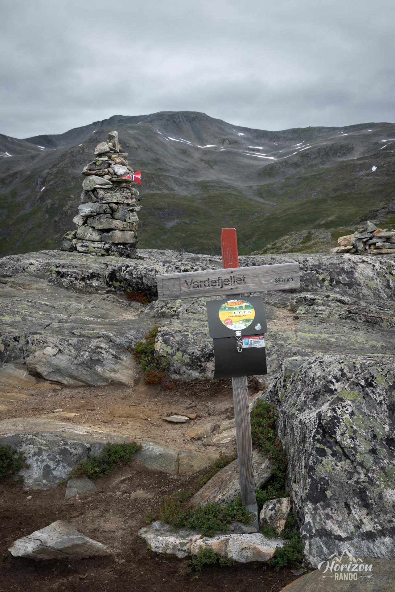
This hike is technically easy and suitable for most hikers, with an elevation gain of only 390 meters. The route follows an excellent mountain trail that is clearly indicated by directional signs, although it is not marked. A detailed map of local routes is also available at the parking lot.
Please note, however, that accessing the trailhead involves driving on a steep mountain gravel road for about three kilometers—a stretch that is sometimes more challenging than the hike itself!
What you'll love
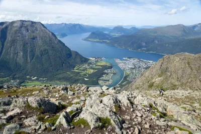
- Breathtaking panoramas: A 360° view of Norddalsfjord and the villages of Eidsdal and Valldal from the summit.
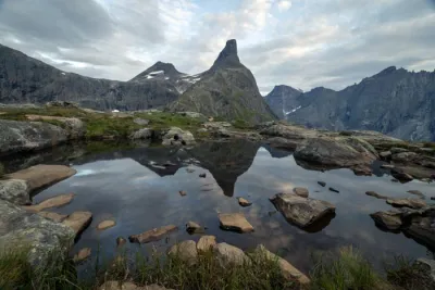
- Lake Vardevatnet: Located near the summit, it's the perfect place to take a break and enjoy the scenery or take a (very!) refreshing swim in the summer.
- Excellent effort-to-reward ratio: Spectacular views for a very modest elevation gain and distance.
Practical information
Access to the trailhead (Klovset parking lot)
To reach the main parking lot, take the gravel road for about 3 kilometers. The road is quite steep and has very few passing places. Access is possible with a van-type vehicle, but it is not recommended for large motorhomes. This is a private toll road (indicative price: NOK 50 in 2025).
👉 Alternative: If you prefer to avoid this gravel road, you can start the hike from the hamlet of Lingås (altitude 220 m). This will add about 300 meters of elevation gain to your route.
Best time to go
From June to October, on average. See the Norway FAQ for more details.
Photos
See all 18 photos →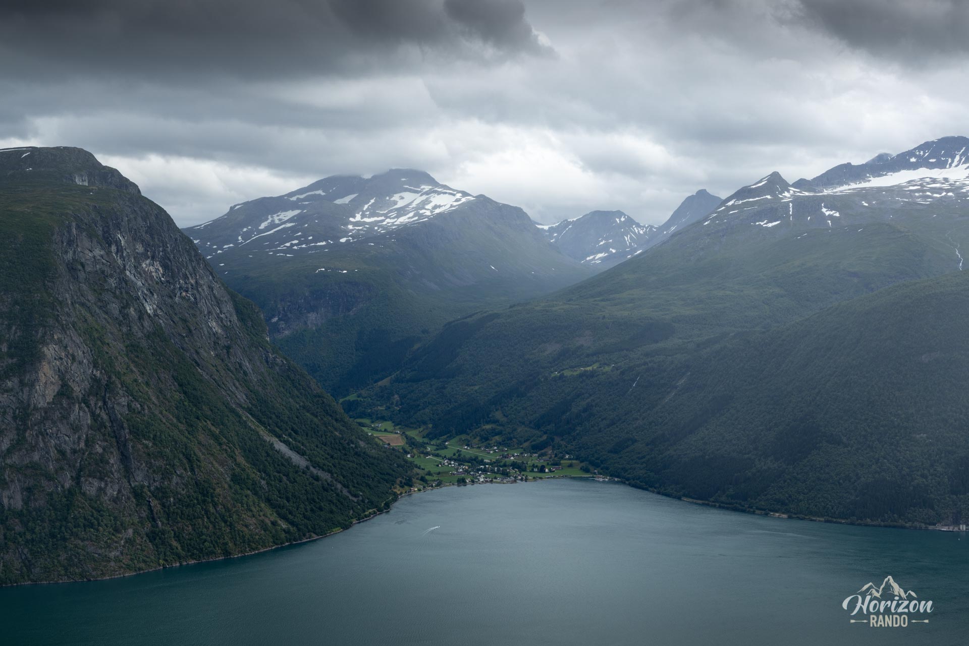
More hikes to do in Norway
Nearby hikes




















Printed from www.horizonrando.fr/en/norway/vardefjellet/