





Nigardsbreen Hike
Key facts about the hike
- Difficulty
- Easy Hikes are rated from very easy to very hard: my difficulty scale
- Duration
- 1h45 Estimated time, short breaks included (photos, water, snacks), picnic not included: how it is calculated
- Distance
- 4.8km
- out and back
- Elevation gain
- 180m
- Type of route
- Out and back
- Maximum altitude
- 410 m
- Vertiginous Five levels, depending on how exposed the route is: the levels in detail
- No
- Marked
- Yes
- Popularity
- High
- County
- Vestland
- Start point
- 61.67354, 7.23330
- Activity
- Hiking
Hike overview
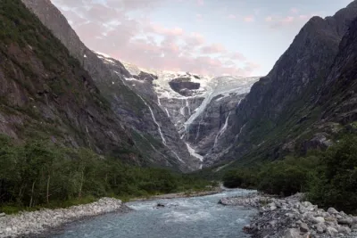
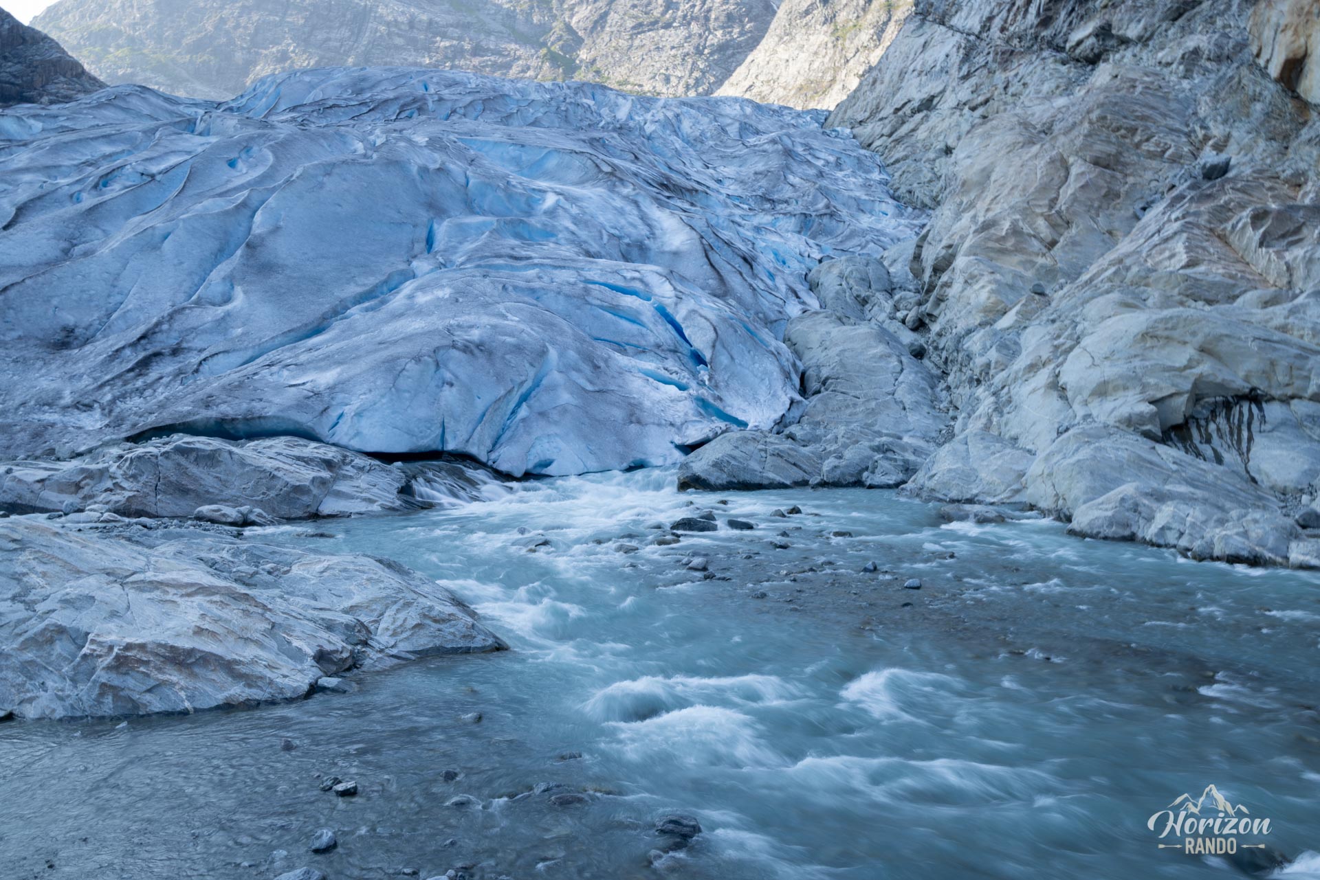
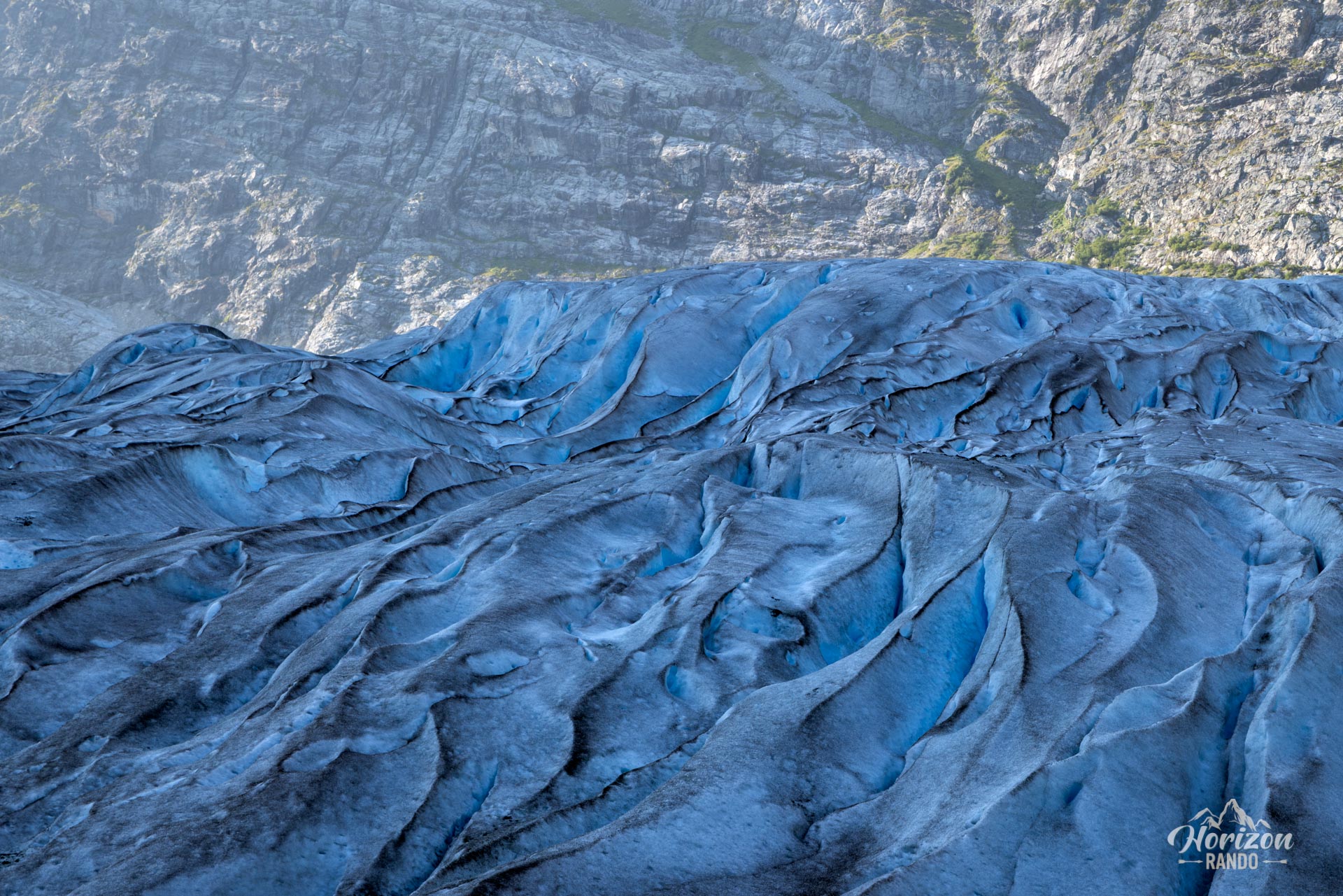
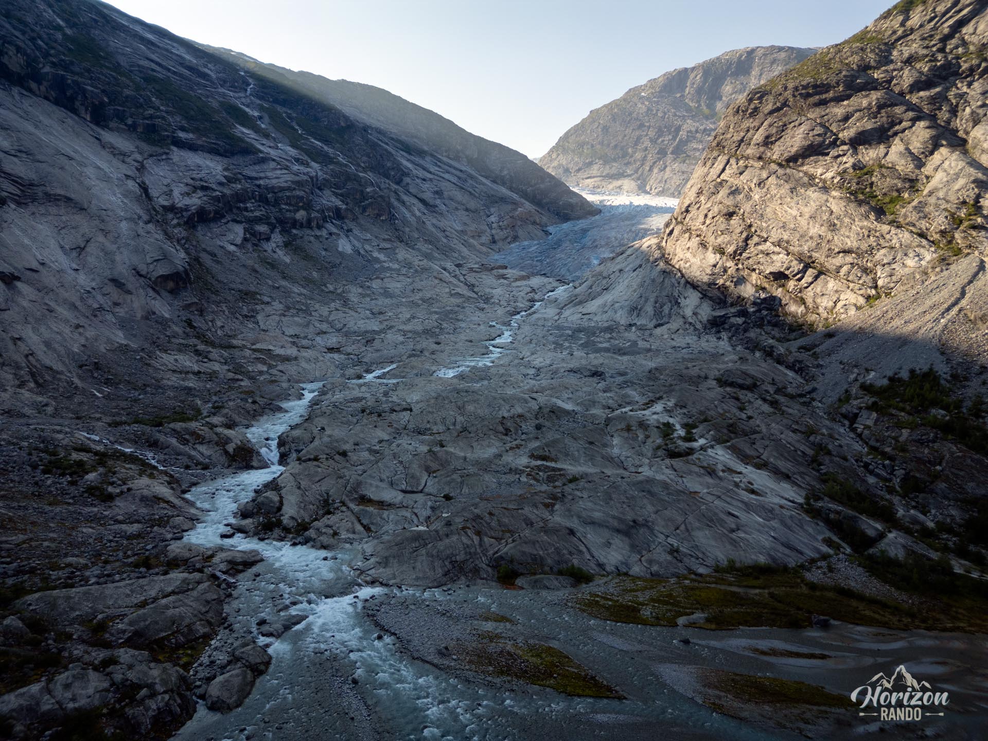
Discover the spectacular Nigard Glacier, one of the most accessible arms of Norway's vast Jostedalsbreen ice cap. This hike will take you to a viewpoint where you can see the glacier's intense blue ice up close. It's a unique chance to admire this natural wonder up close without any special equipment while taking in a constantly changing landscape shaped by hundreds of thousands of years of glacial movement.
Map and elevation profile of the hike
Nigardsbreen Hike
Difficulties of the hike
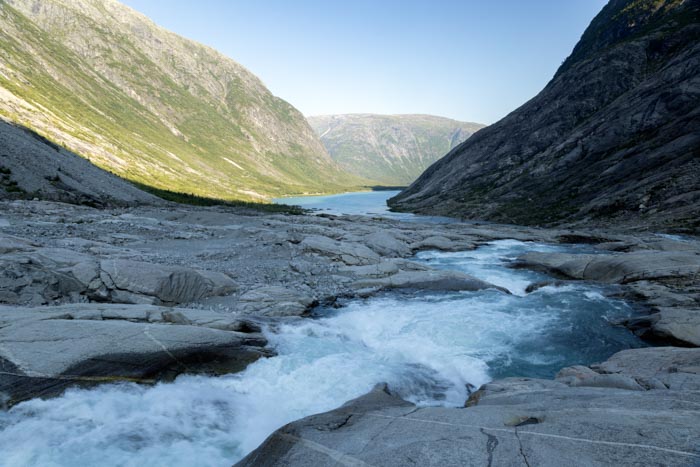
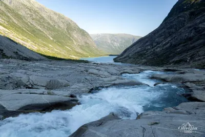
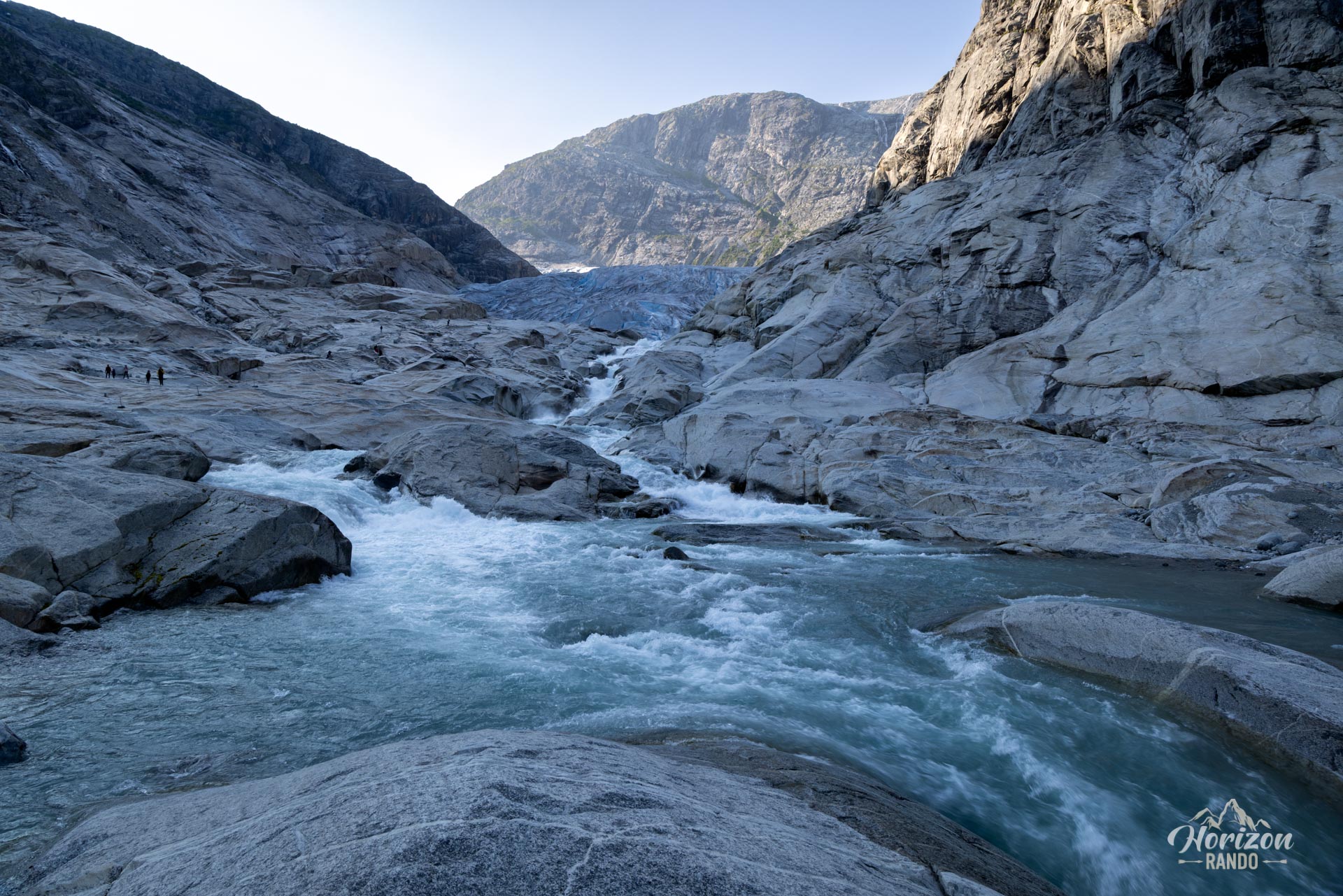
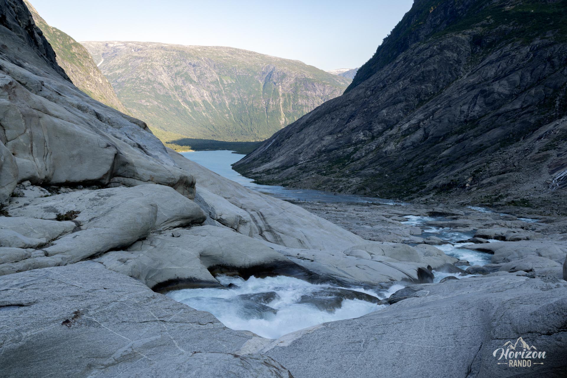
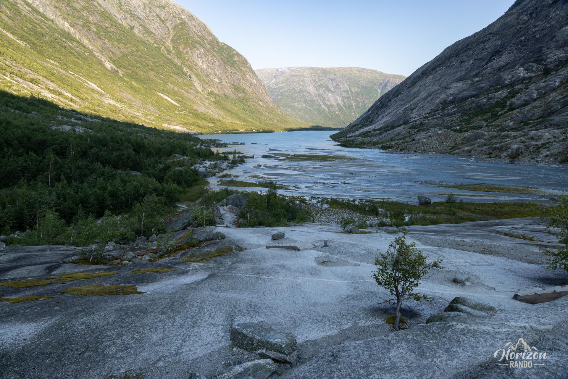
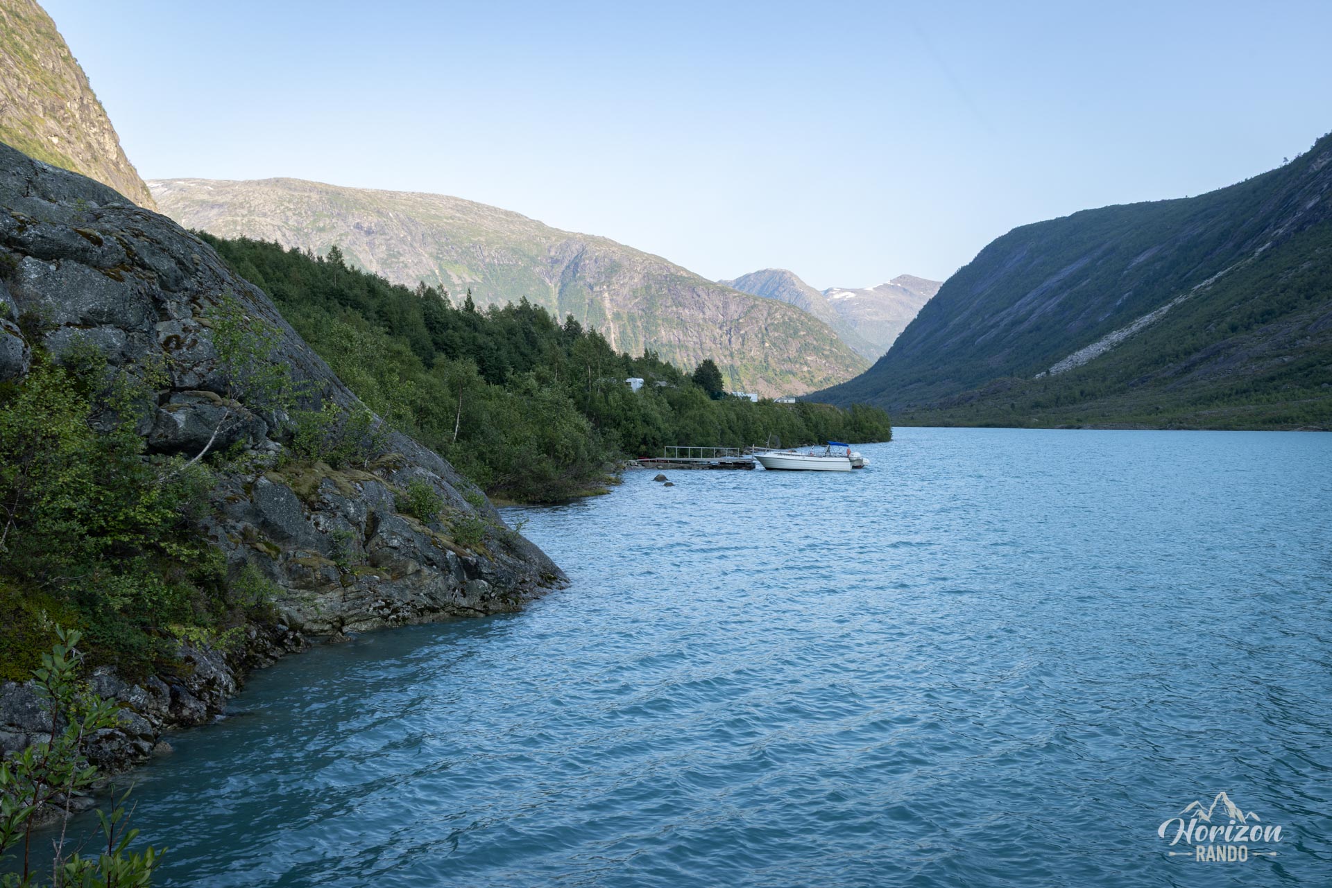
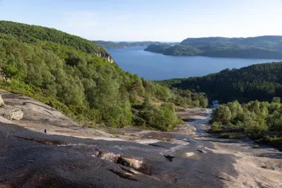
The route is generally easy, with minimal elevation gain and moderate physical demands. The trail begins with a gentle stroll along the shores of Lake Nigardsbrevatnet on rocky terrain. Then, it continues over vast, smooth rock slabs polished by the glacier. These slabs present the main difficulty, as they are slippery, especially when wet. Therefore, it is strongly advised not to attempt this hike in wet weather.
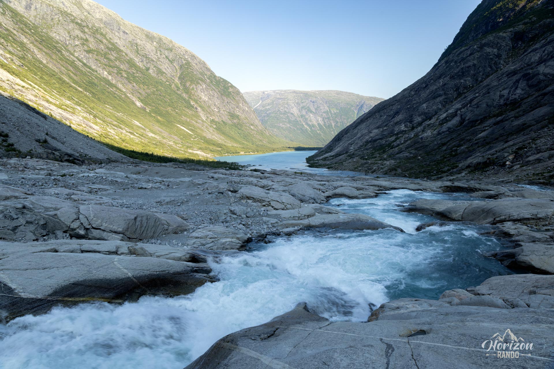
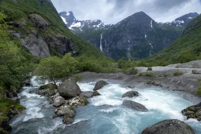
Fortunately, the route is very well secured. Facilities such as stairs and handrails make the steepest sections easier to navigate, and a suspension bridge allows you to cross the turbulent glacial river. Excellent ground markings (blue markers) make navigation easy and are designed to be moved to adapt the route to conditions.
What you'll love
- The impressive proximity to the front of the glacier, allowing you to admire the deep blue color of its ice up close.
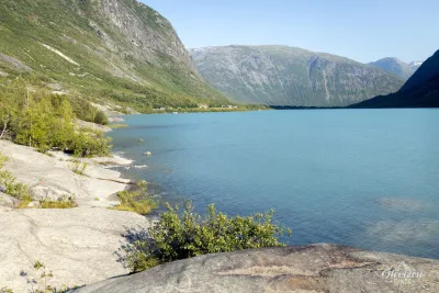
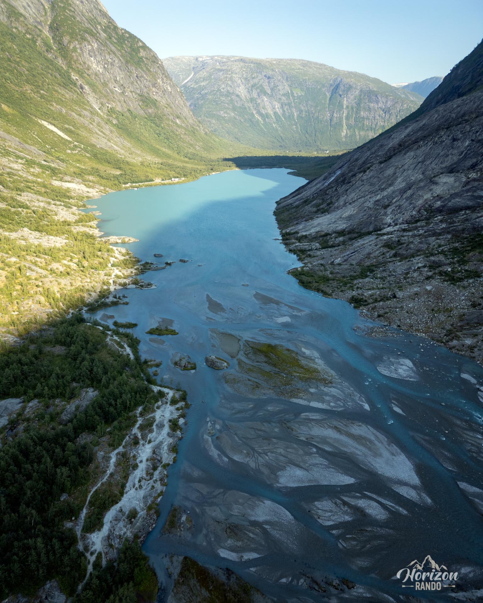
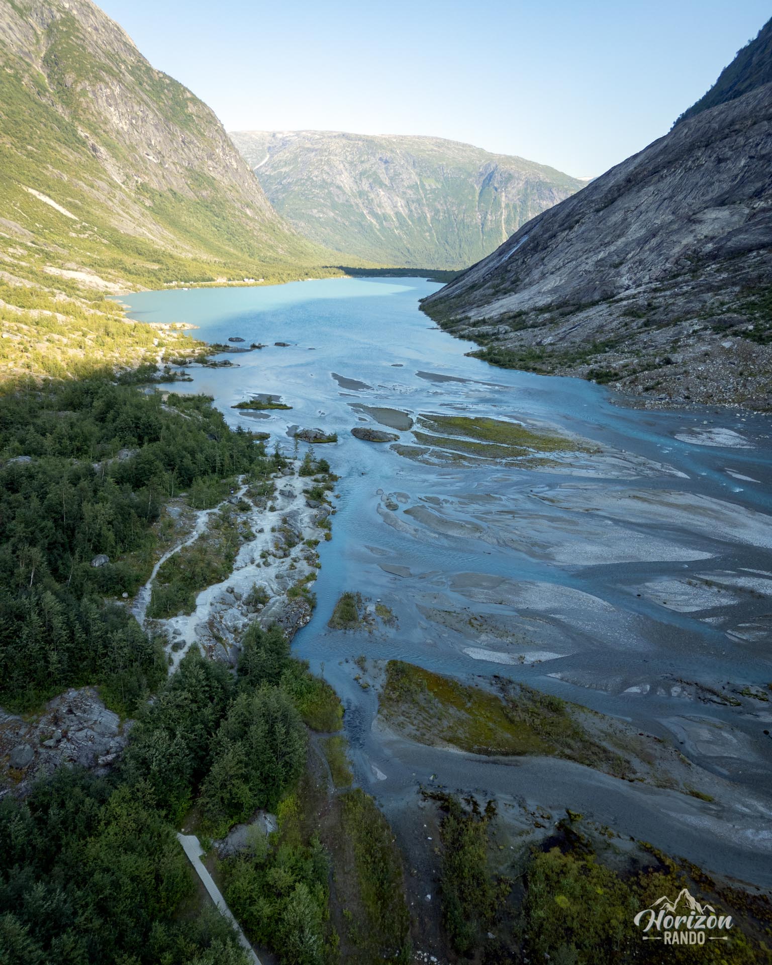
- The milky hue of Lake Nigardsbrevatnet, characteristic of glacial lakes.
Practical information
Access and parking
Parking is free. However, the road to get there is private and subject to a toll (indicative price in 2025: NOK 90).
Equipment
Remember to bring warm clothing, as temperatures drop significantly as you approach the glacier, even in the summer.
Best time to go
From May to October, on average. See the Norway FAQ for more details.
Weather conditions
Do not attempt this hike in rainy weather, as the route can become dangerous due to the slippery rock slabs.
Photos
See all 12 photos →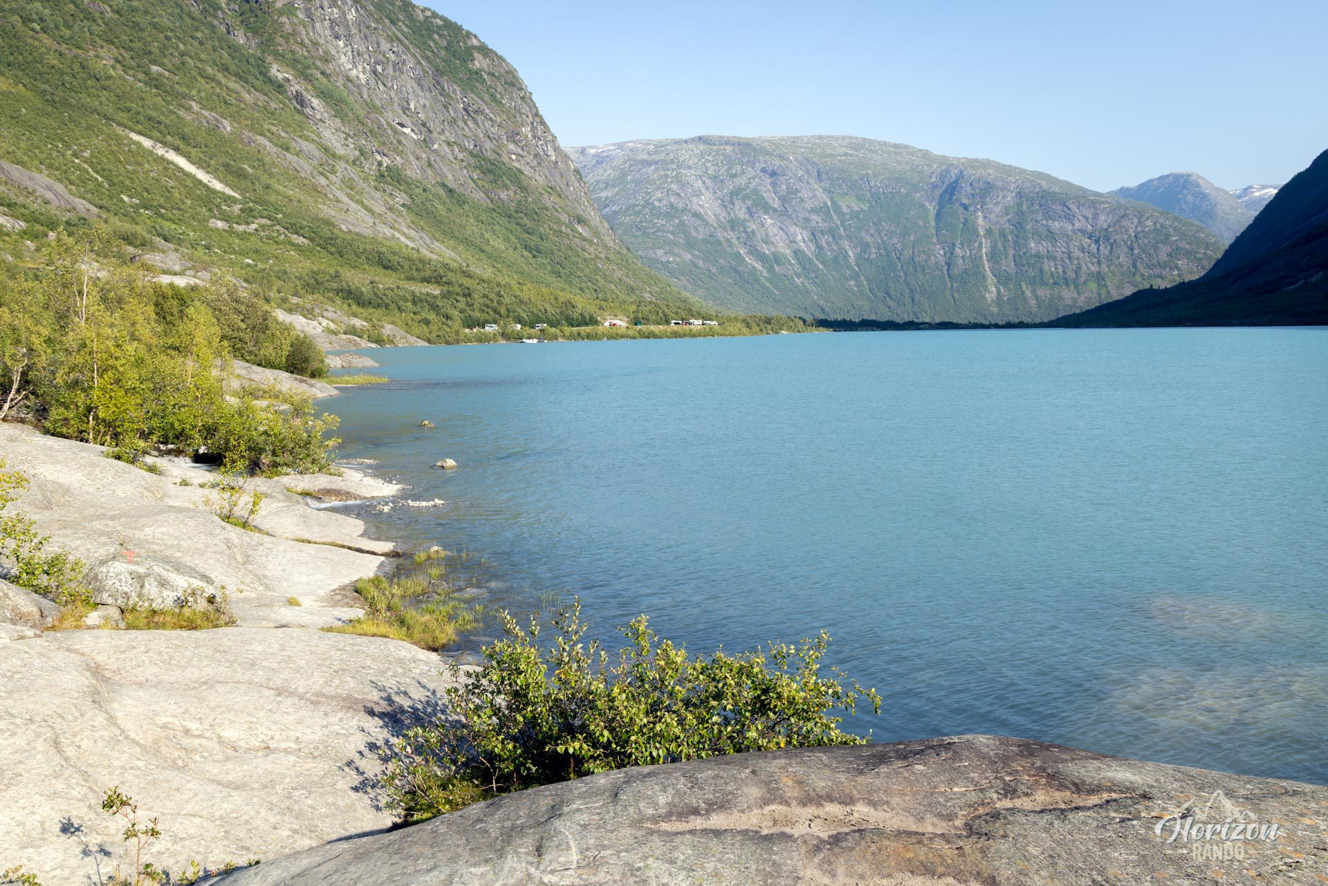
More hikes to do in Norway
Nearby hikes





















Printed from www.horizonrando.fr/en/norway/nigardsbreen/