






Slogen Hike
Key facts about the hike
- Difficulty
- Very hard Hikes are rated from very easy to very hard: my difficulty scale
- Duration
- 7h30 Estimated time, short breaks included (photos, water, snacks), picnic not included: how it is calculated
- Distance
- 7.6km
- out and back
- Elevation gain
- 1,500m
- Type of route
- Out and back
- Maximum altitude
- 1,564 m
- Vertiginous Five levels, depending on how exposed the route is: the levels in detail
- Highly
- Marked
- No
- Popularity
- Low
- County
- Møre og Romsdal
- Start point
- 62.18720, 6.67459
- Activity
- Hiking
Hike overview
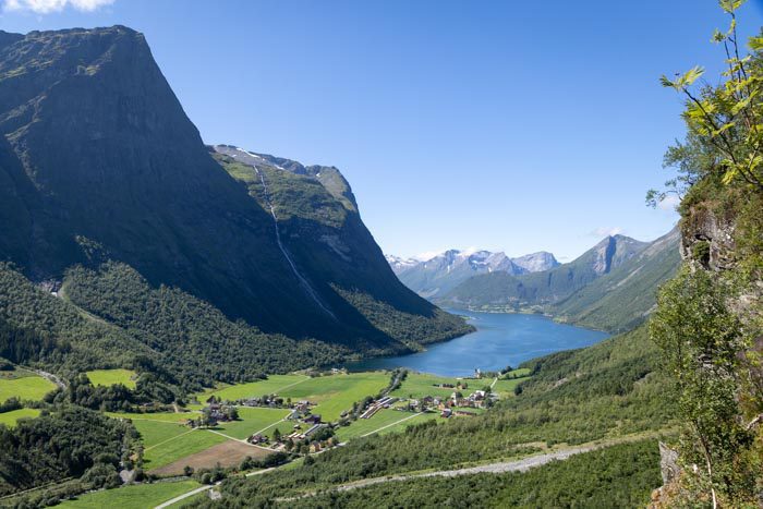
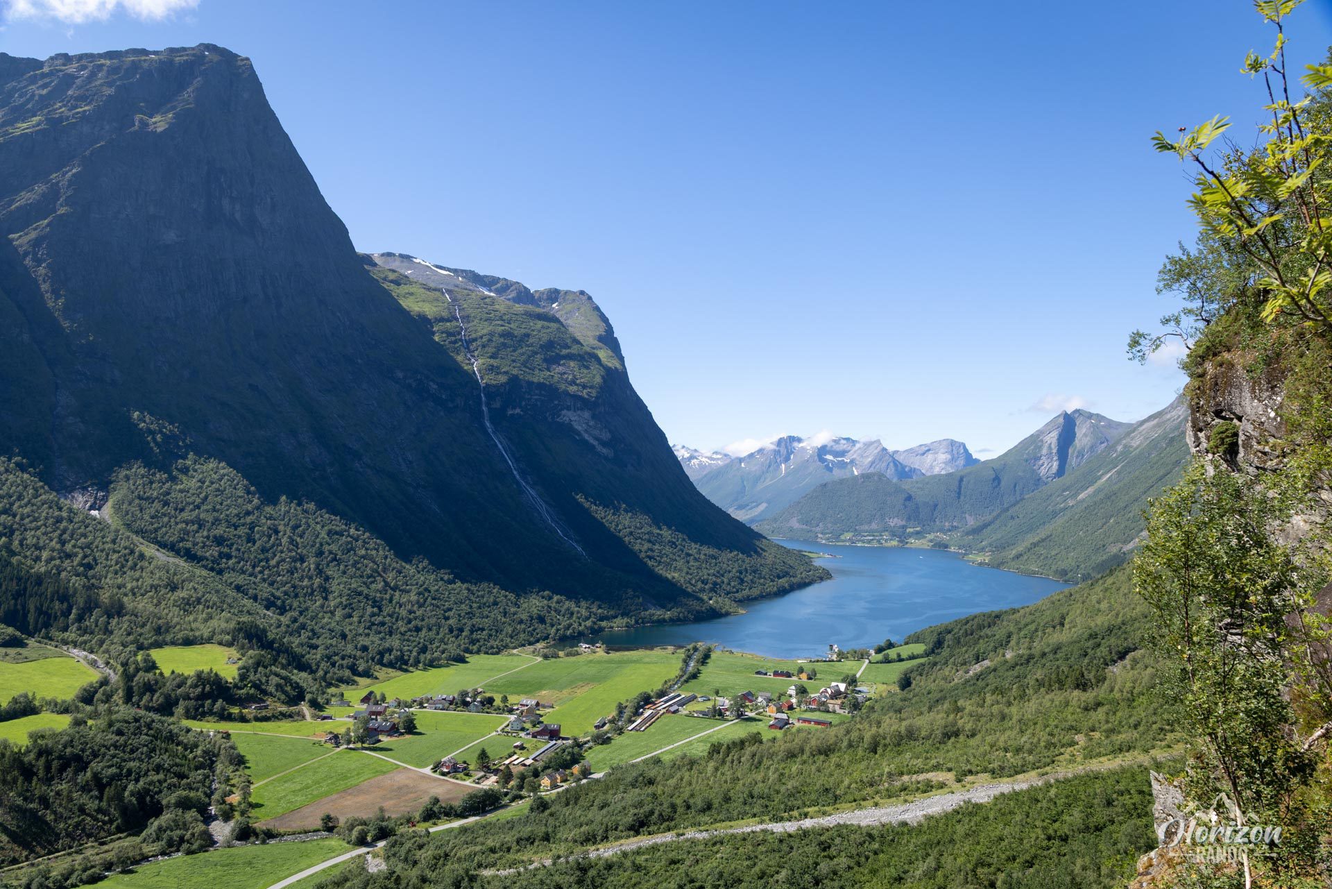
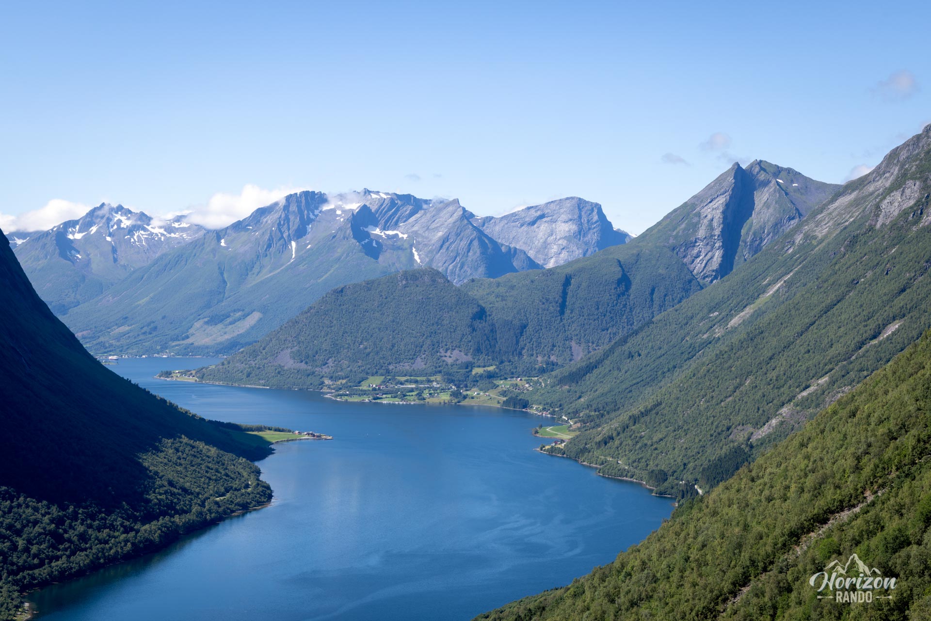
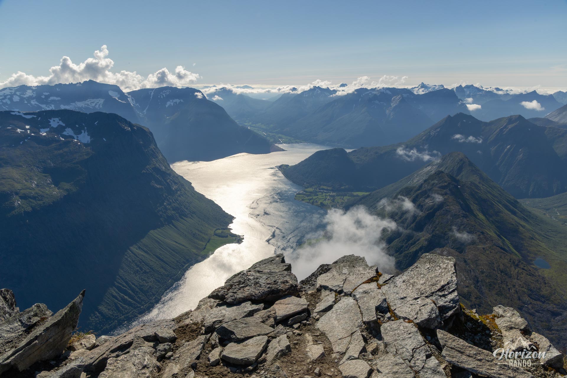
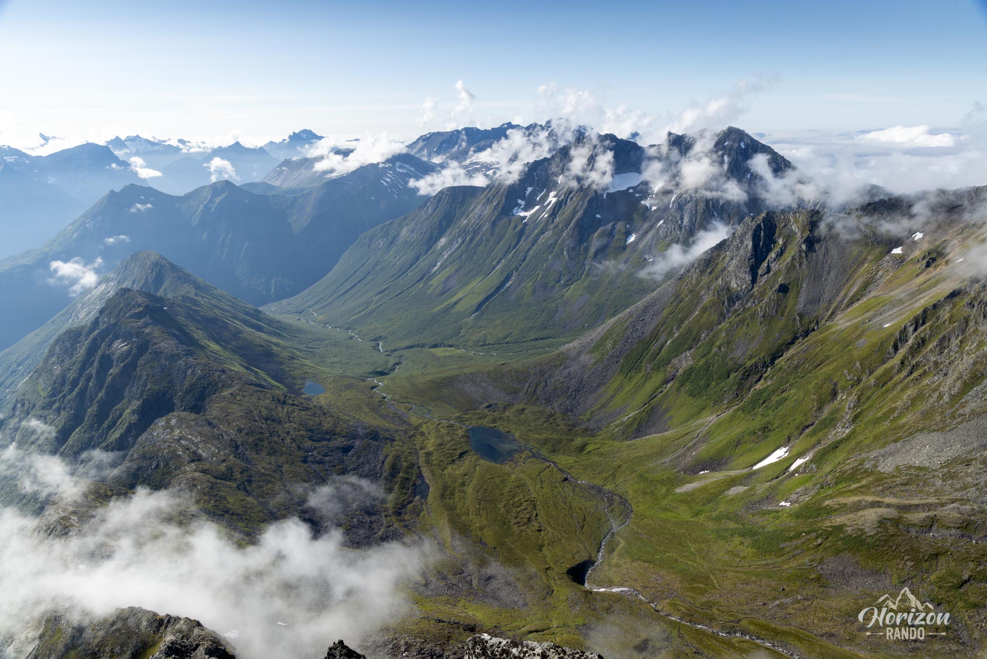
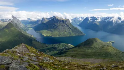
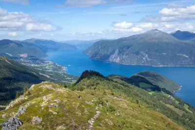
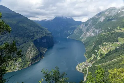
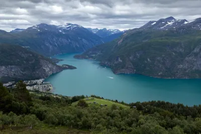
At 1,564 meters above sea level, Slogen rises in the heart of the majestic Sunnmøre Alps. It is distinguished by its spectacular pyramid shape that plunges directly into the waters of Norangsfjord, an arm of the famous Hjørundfjord. Often cited as one of the most beautiful hikes in Norway, Slogen attracts hikers with its intense physical challenge and exceptional panoramic views from the summit. Climbing Slogen is a memorable adventure in a spectacular setting.
Map and elevation profile of the hike
Slogen Hike
Description and difficulties of the hike
Due to its technical difficulty and physical demands, the ascent of Slogen is reserved for experienced hikers. The main challenges to anticipate are as follows:
- Impressive elevation gain over a short distance: Nearly 1,500 meters of elevation gain concentrated over 3.5 kilometers. A continuous, very steep climb with no real respite, putting your cardio and legs to the test.
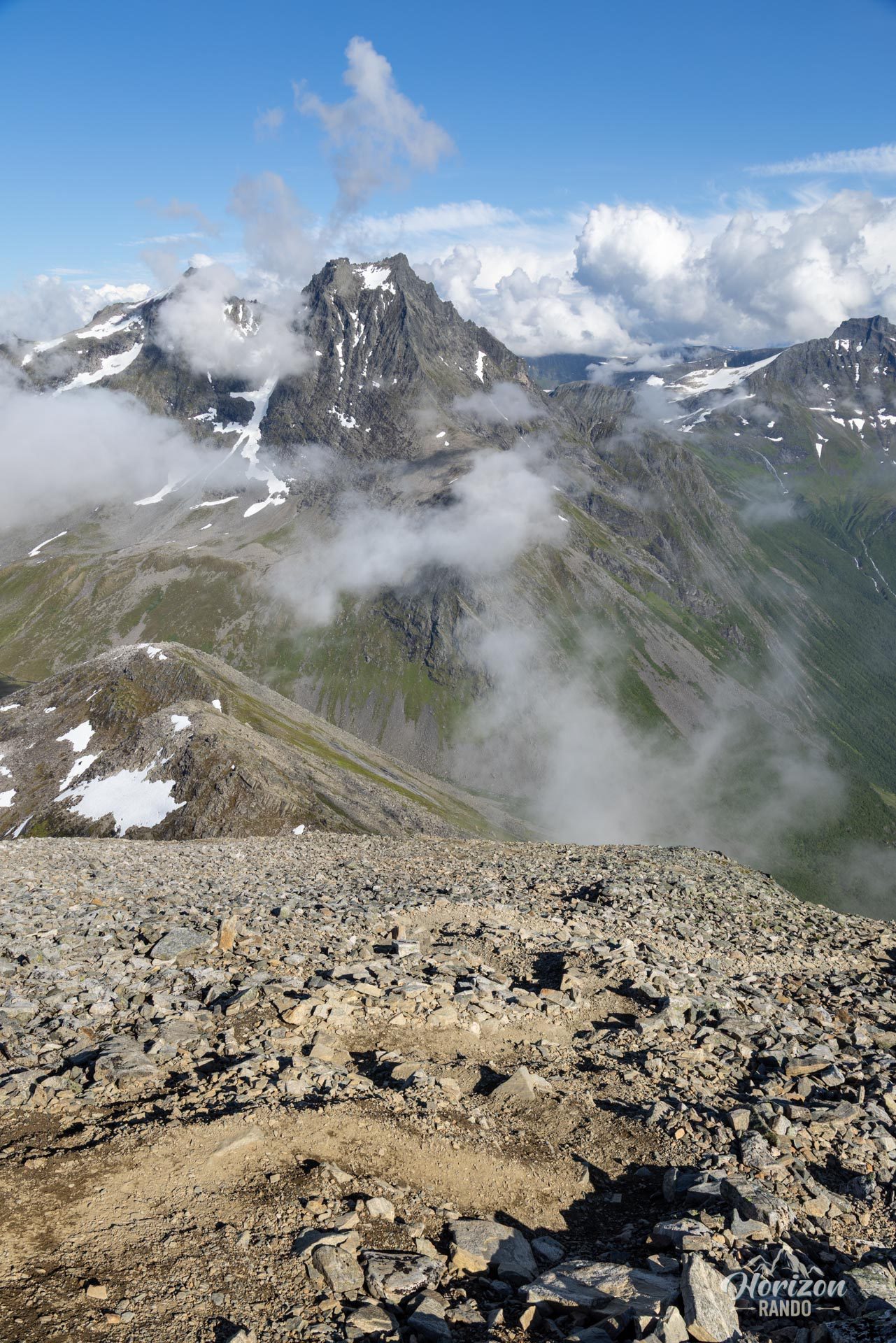
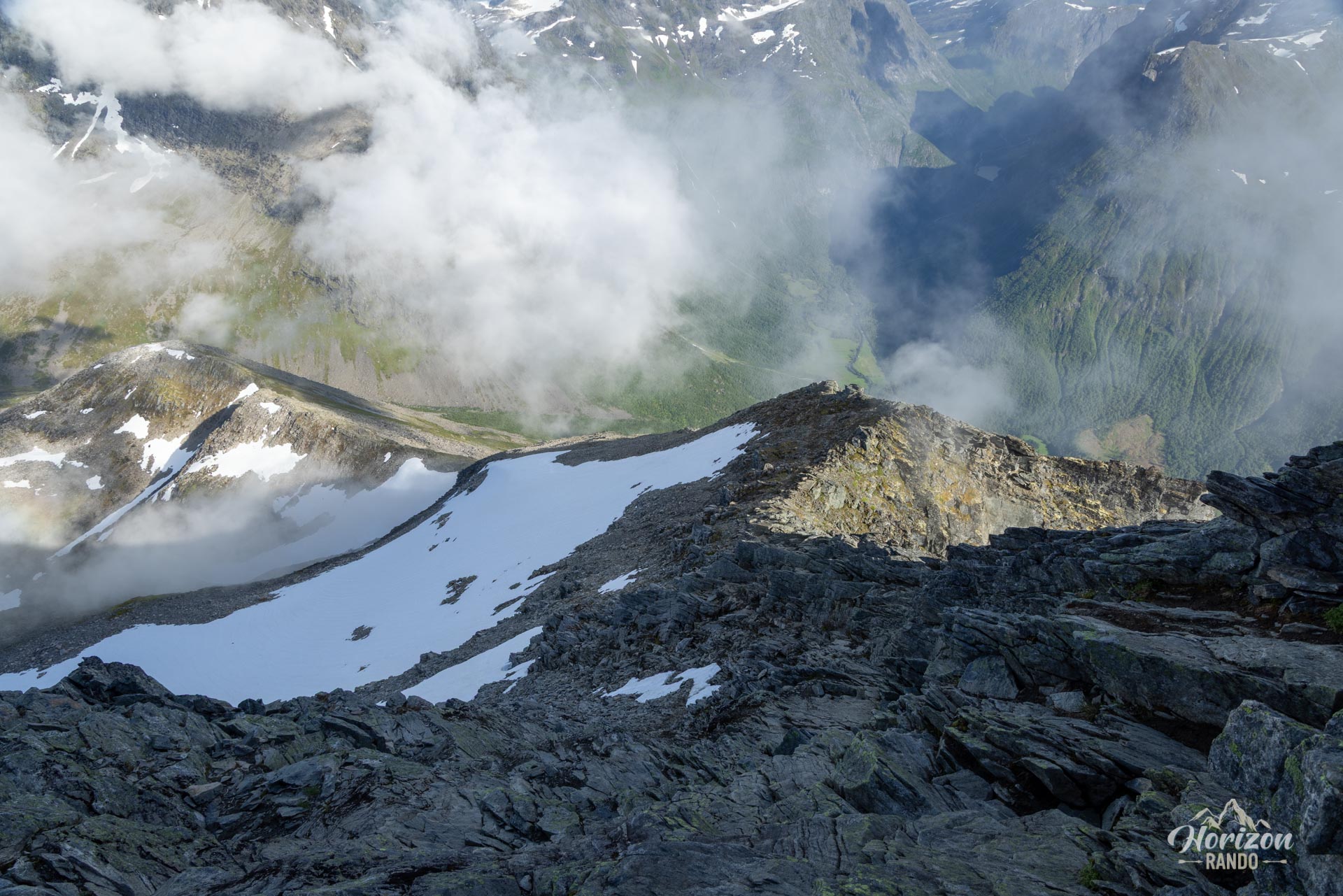
- Varied and technical terrain: The hike begins on muddy forest trails, and transitions to a rocky environment as you gain altitude. The final 300 meters of elevation gain are on an unstable scree, and the last 100 meters before the summit are on rock.
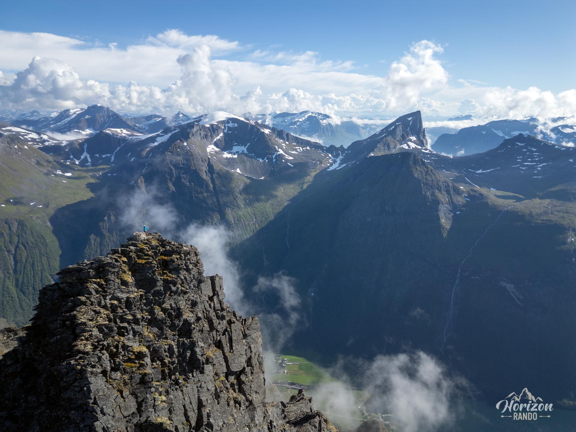
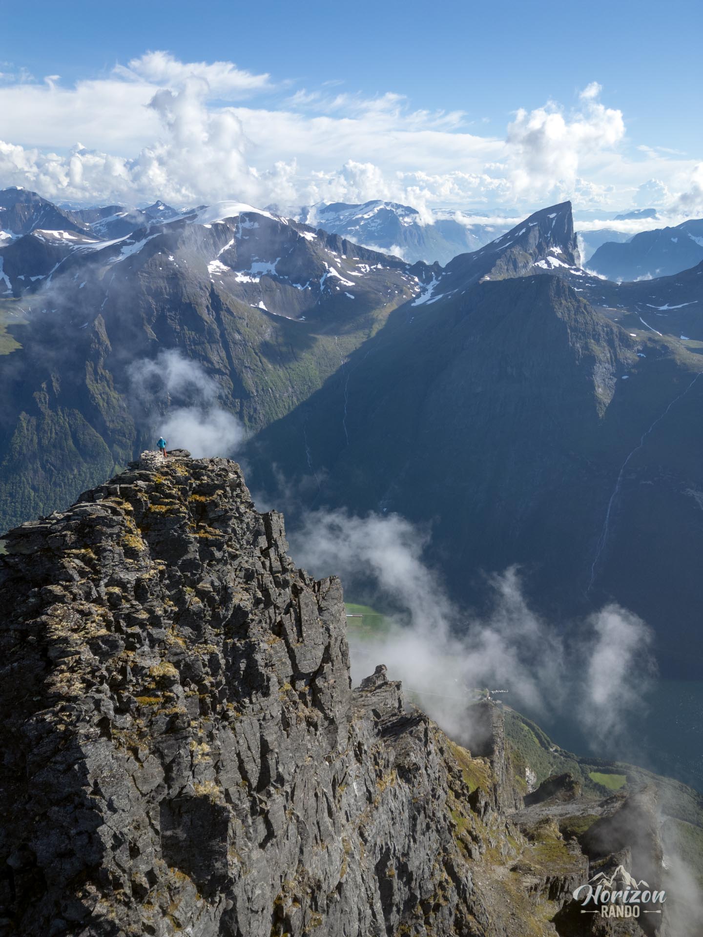
- Aerial finish: The final 100 meters of elevation gain to the summit requires some scrambling to navigate exposed, aerial rock. Increased vigilance is necessary to clearly identify and follow the tracks and markings to stay on the safest route. This hike is therefore strictly reserved for experienced hikers who are not afraid of heights and are comfortable on this type of technical terrain.
- An equally demanding descent: Do not underestimate the descent! It requires as much, if not more, caution and concentration as the ascent, particularly due to accumulated fatigue and the consistently technical nature of the terrain (steep slopes, scree and rocks).
Although the trail is not marked, it is generally clearly visible and well-trodden by hikers. Since there are few intersections, it is not particularly difficult to follow the main route, allowing you to focus on the physical and technical challenges.
What you'll love
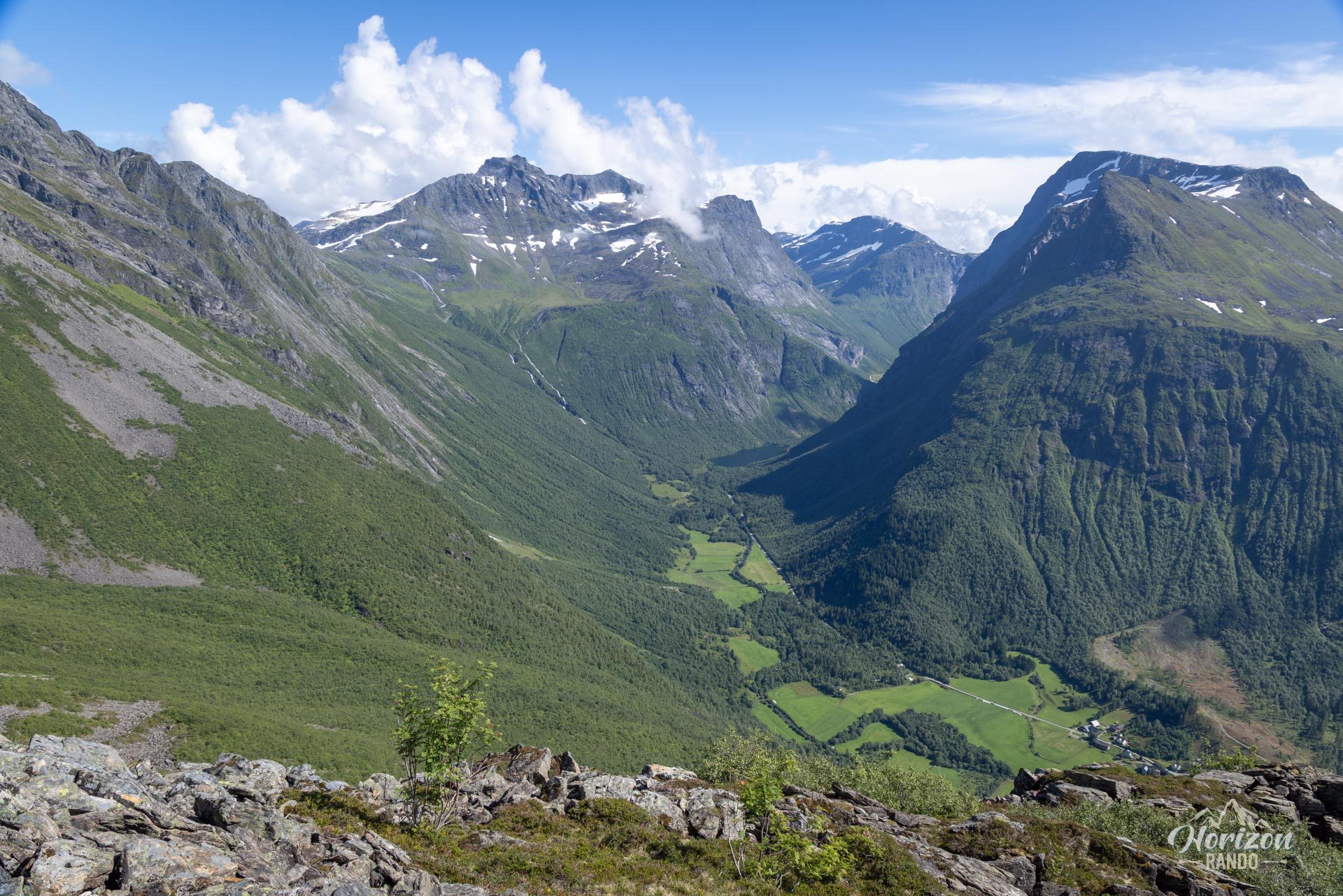
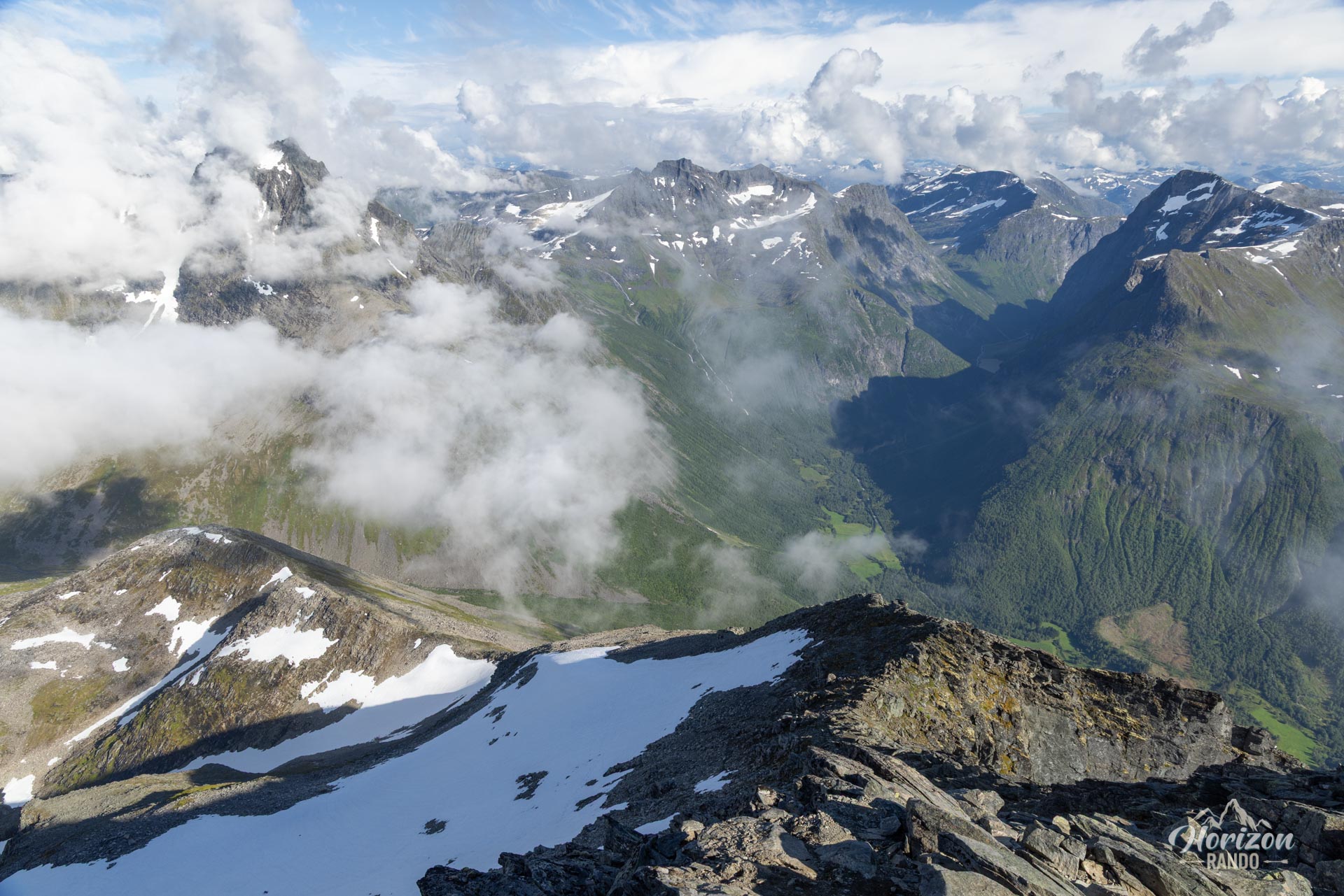
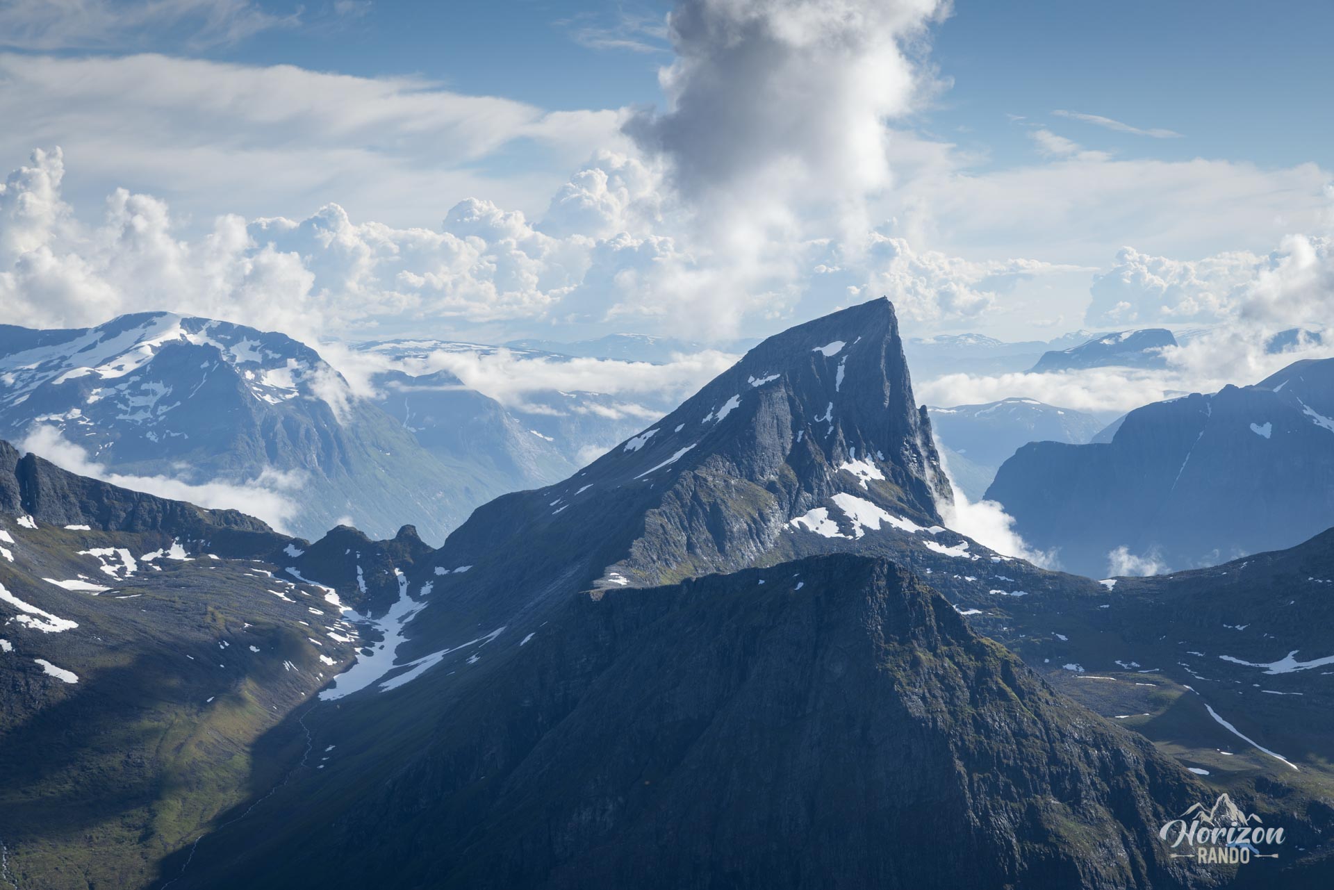
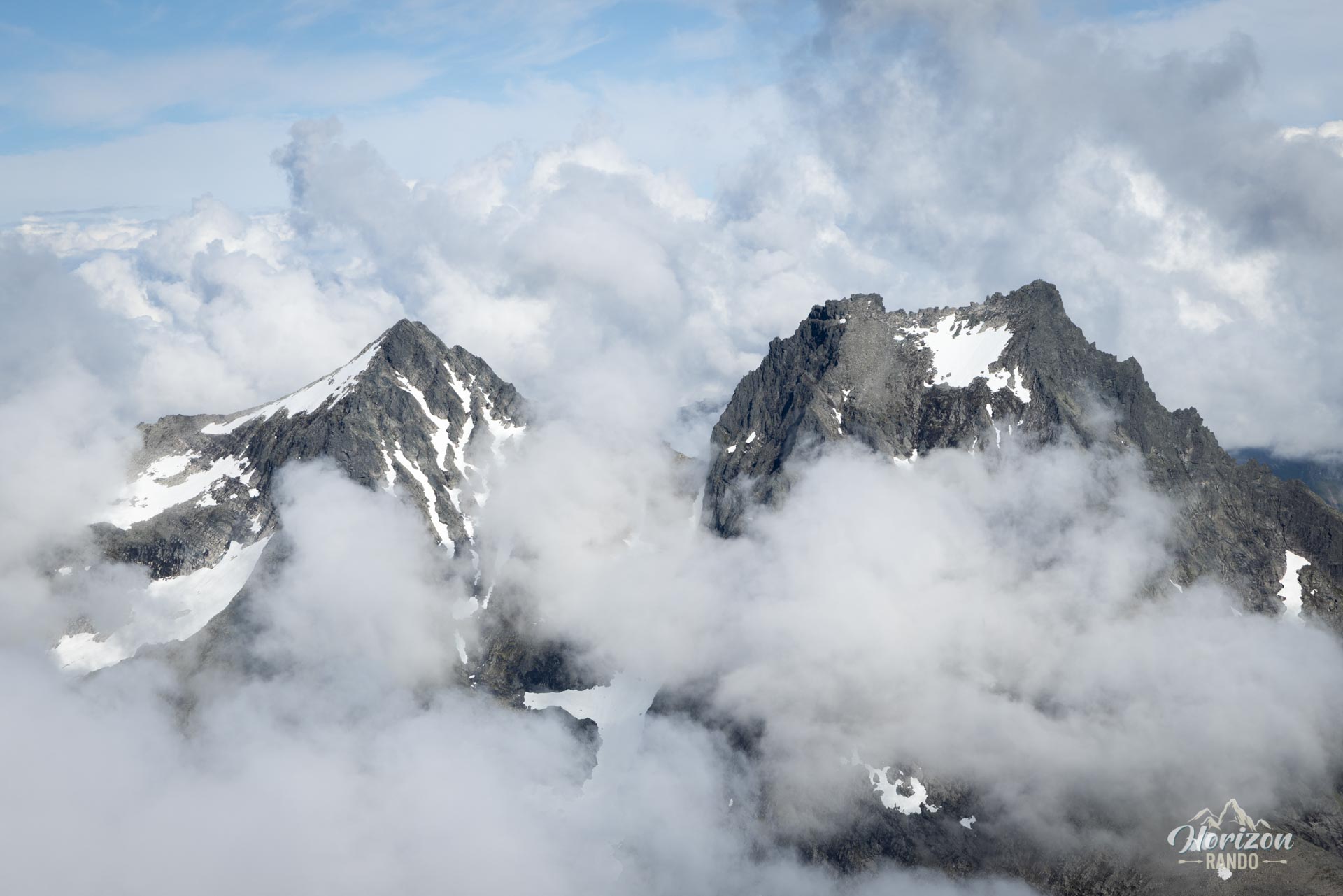
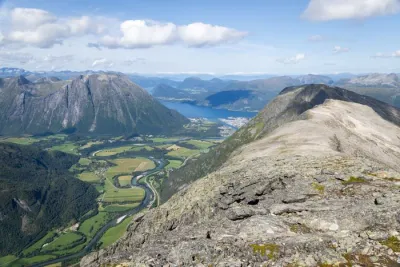
- Breathtaking panoramic views: The ultimate reward! Once you reach the summit, you will be treated to an unforgettable 360° panorama, taking in the arms of the Hjørundfjord and a sea of sharp peaks.
- The experience of an iconic, lofty summit: Reaching the summit of this rocky pyramid, one of Norway's most famous and photographed mountains, provides a deep sense of satisfaction and a unique feeling of accomplishment.
Practical information
Parking
Paid parking at the start, from NOK 45 to NOK 150 depending on the vehicle in 2025.
Best time to go
From July to September, on average. See the Norway FAQ for more details.
Scrambling and descent
Approach the final section of scrambling with concentration. Secure your handholds and footholds. Be just as careful, if not more so, when descending this section and the entire steep route.
Photos
See all 13 photos →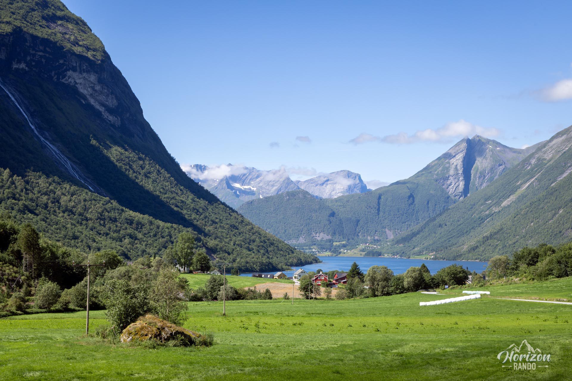
More hikes to do in Norway
Nearby hikes











Printed from www.horizonrando.fr/en/norway/slogen/