





Galdhøpiggen Hike
Key facts about the hike
- Duration
- 7h Estimated time, short breaks included (photos, water, snacks), picnic not included: how it is calculated
- Distance
- 13km
- out and back
- Elevation gain
- 1,460m
- Type of route
- Out and back
- Maximum altitude
- 2,469 m
- Vertiginous Five levels, depending on how exposed the route is: the levels in detail
- Slightly
- Marked
- Yes
- Popularity
- High
- County
- Innlandet
- Start point
- 61.62508, 8.40353
- Activity
- Hiking
Hike overview
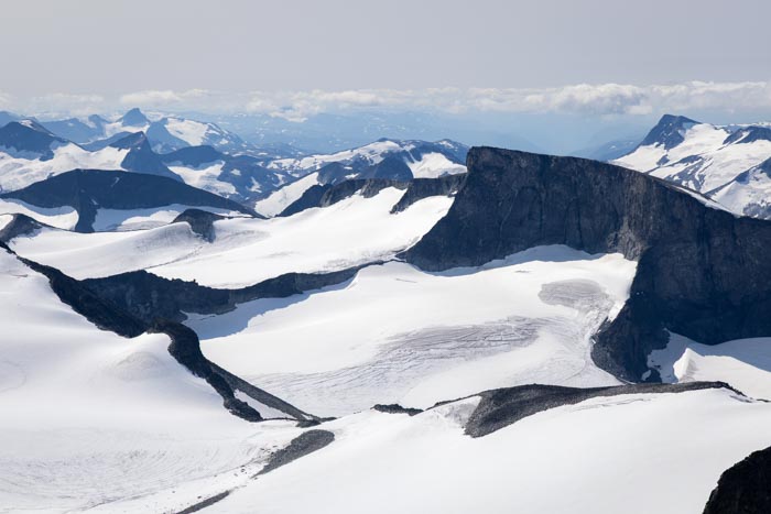
Take on the challenge of climbing Galdhøpiggen, the highest peak in Norway and Northern Europe at 2,469 meters. Located in the heart of Jotunheimen National Park — literally "the Kingdom of Giants" — this legendary hike is an unforgettable experience.
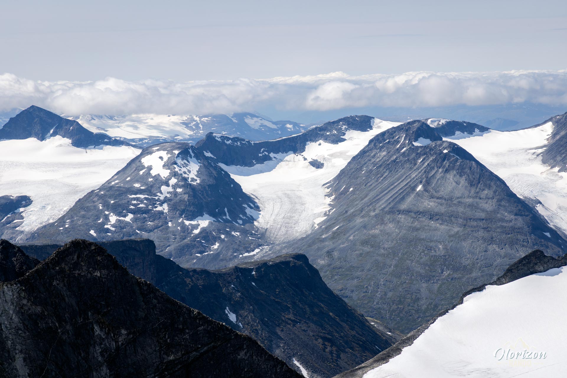
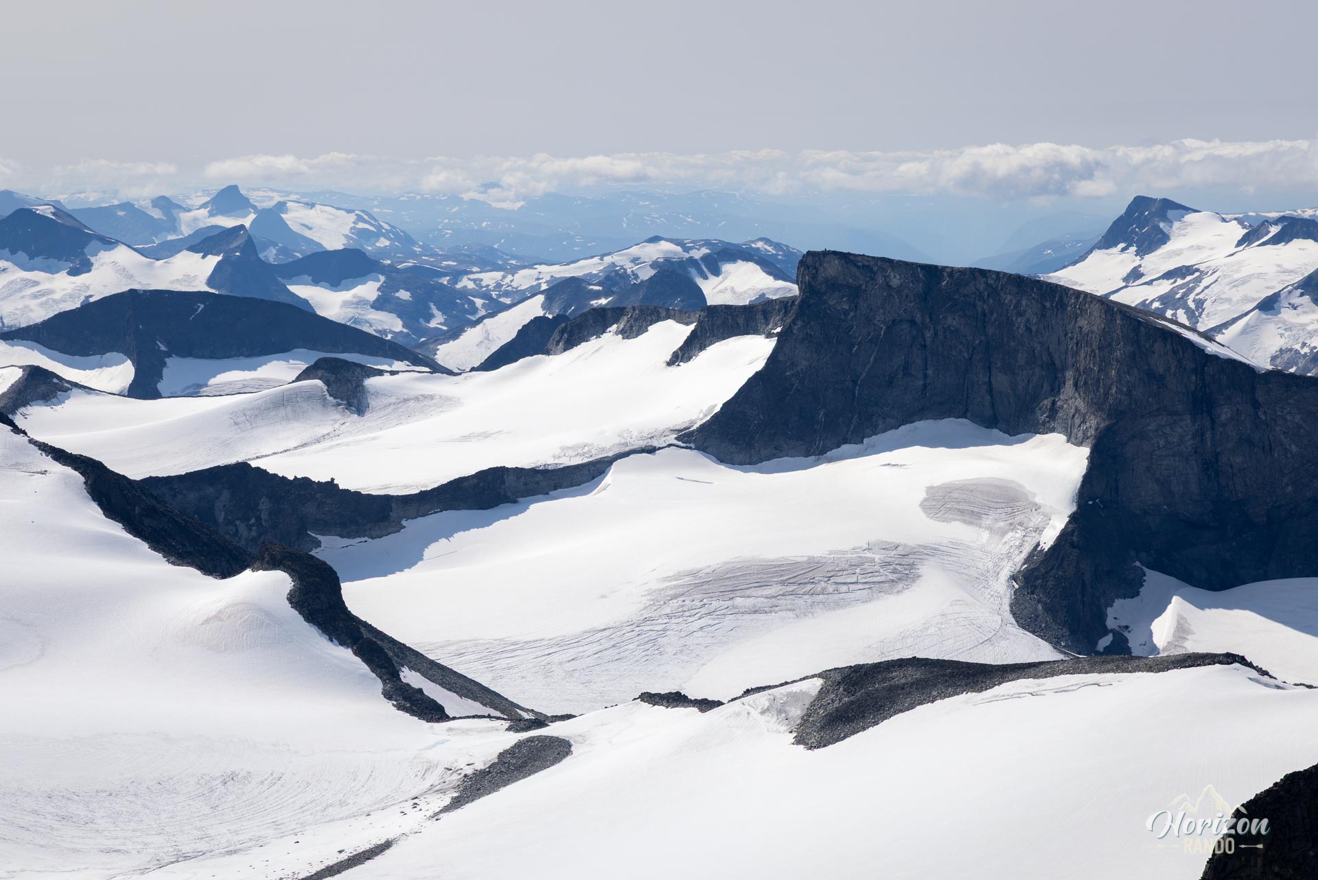
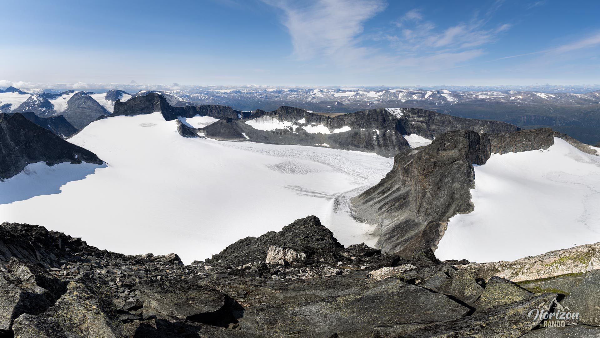
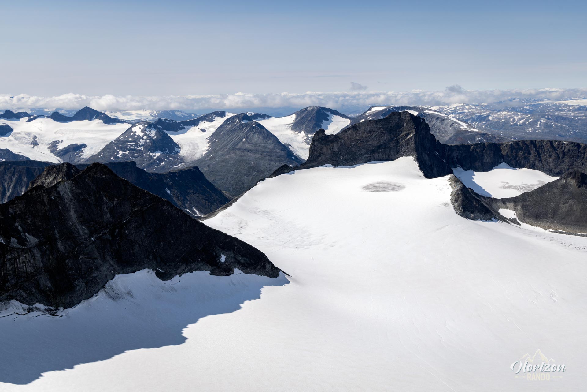
While you won't be crossing a glacier, the route will immerse you in an impressive glacial and mineral world towering over endless expanses of ice. The heights boast a unique atmosphere of calm, grandeur, and serenity, offering a memorable experience in a timeless setting.
Map and elevation profile of the hike
Galdhøpiggen Hike
Description and difficulties of the hike
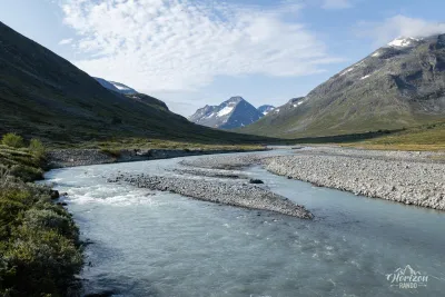
Climbing Galdhøpiggen is a physical challenge that should not be taken lightly. Expect to gain nearly 1,500 meters of elevation. The first part, up to about 1,800 meters, follows a well-marked trail with no technical difficulties.
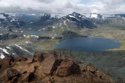
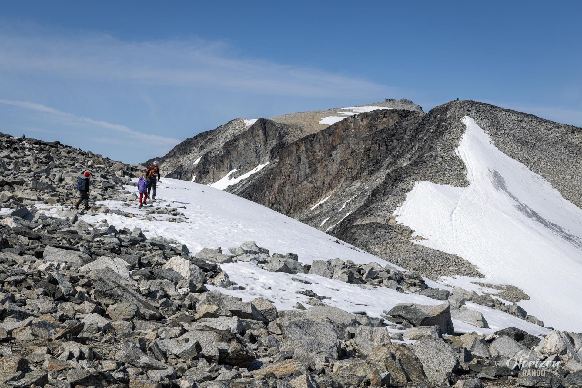
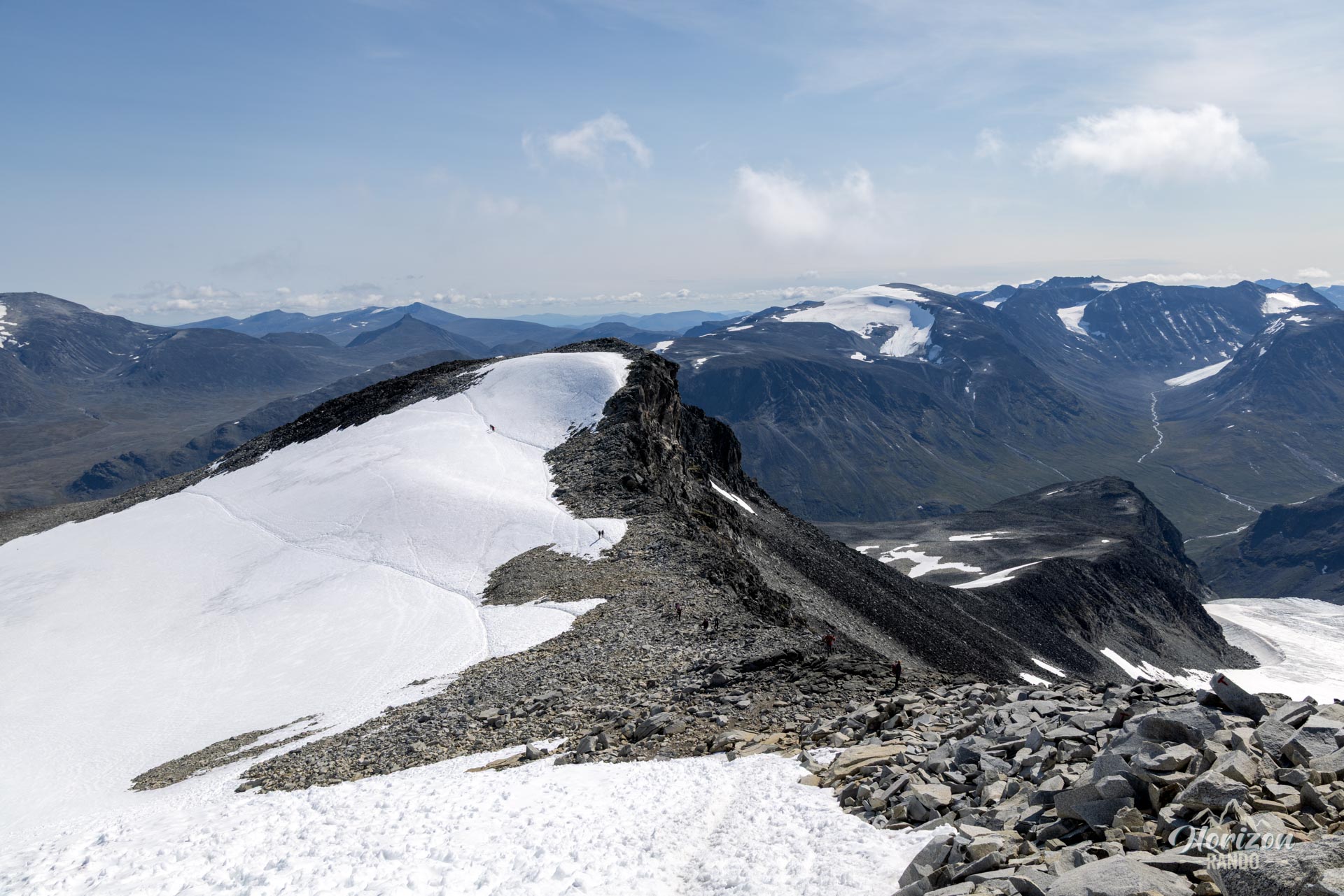
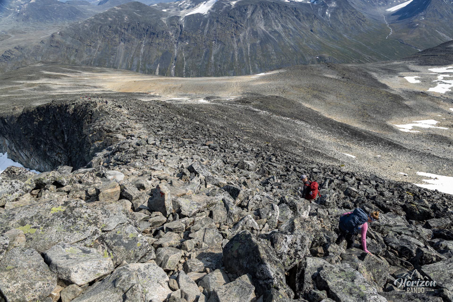
Beyond that point, however, the landscape changes dramatically, and you will be walking almost exclusively on mineral terrain consisting of scree and boulders of varying sizes. The well-marked trail becomes less distinct, giving way to a main track carved out by hikers in this rocky chaos. Progress on this uneven terrain is particularly hard on the legs and ankles. Additionally, two “false summits,” the Svellnose and the Keilhaustopp, will test your resolve before you reach your final destination. Therefore, excellent physical condition and good endurance are essential.
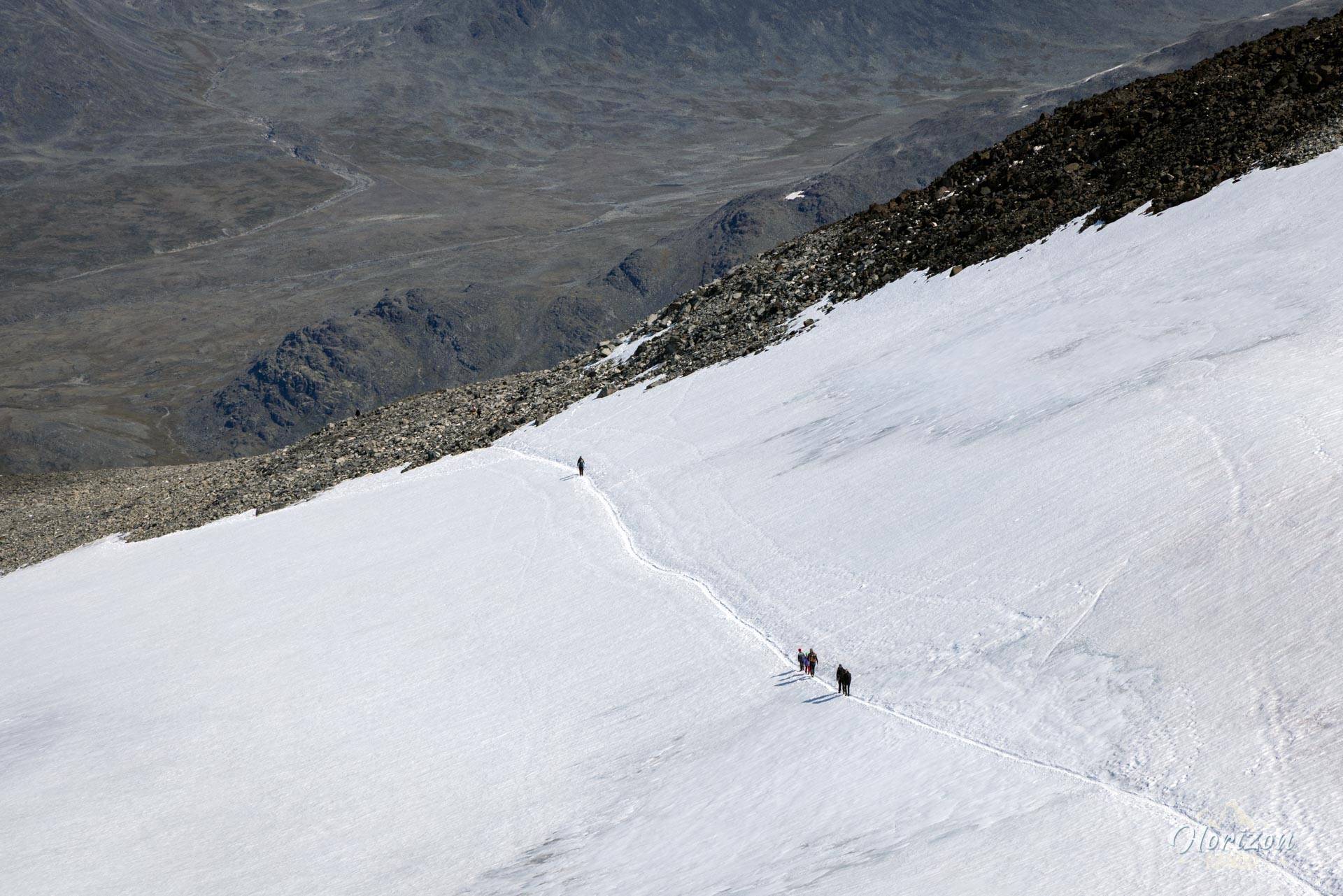
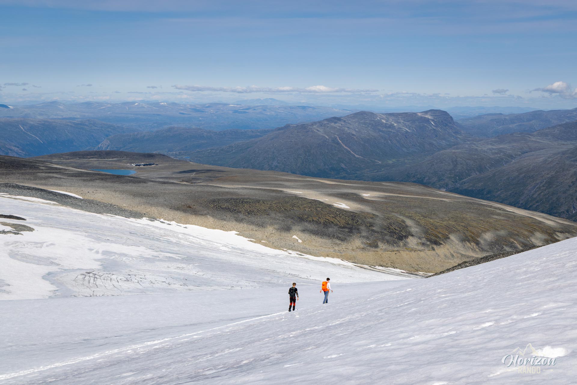
Depending on the time of year, snowfields may make progress difficult. At the beginning of the season, high-top hiking boots and gaiters are strongly recommended for crossing these snowy areas. Hiking poles are also invaluable for maintaining balance on snowfields and scree slopes.
What you'll love
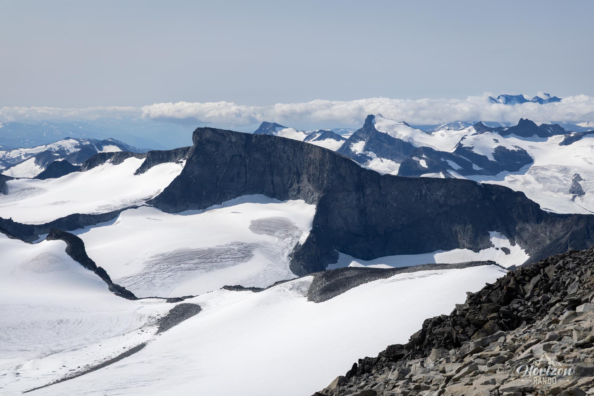
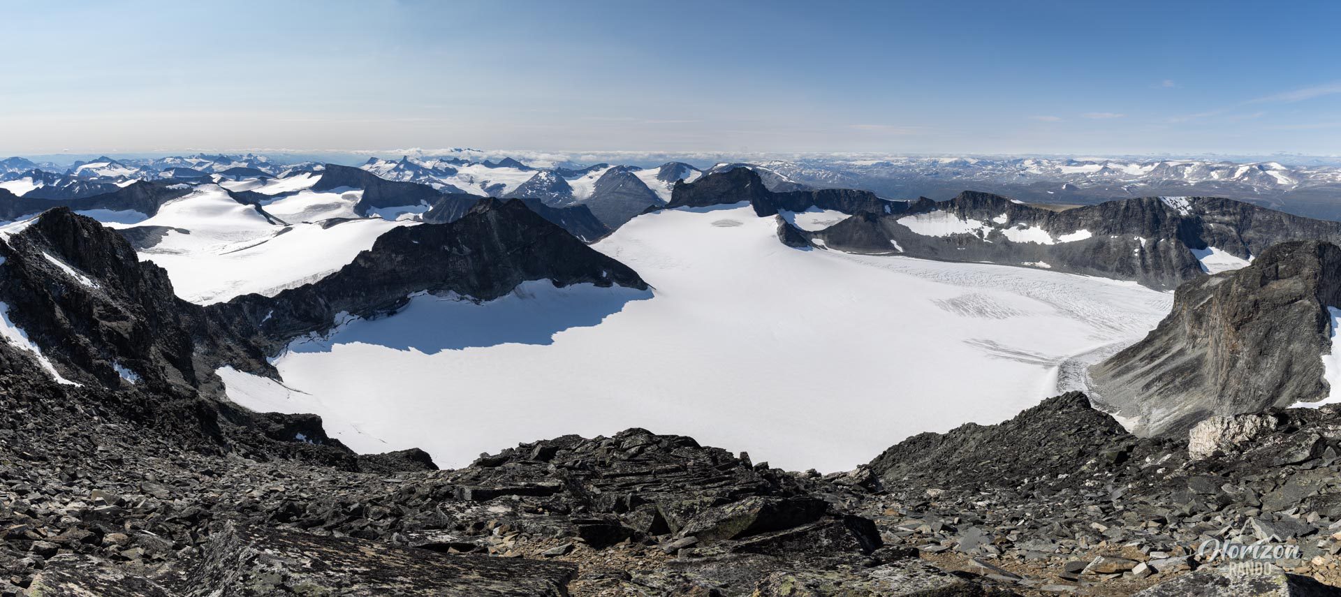
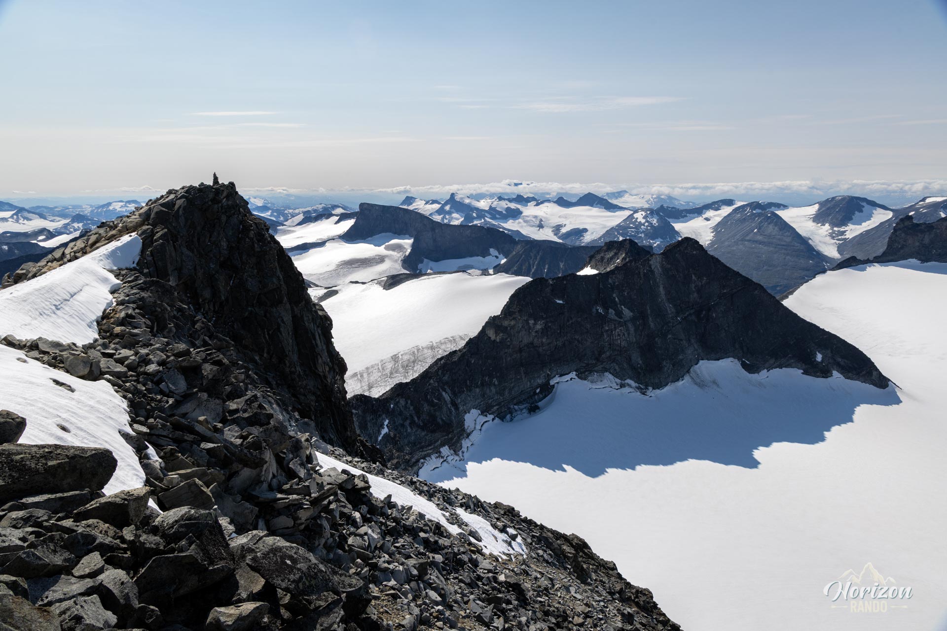
- The exceptional 360° panorama from the summit on a clear day, overlooking the giants of Jotunheimen.
- The sense of achievement of climbing the highest peak in Norway and Scandinavia.
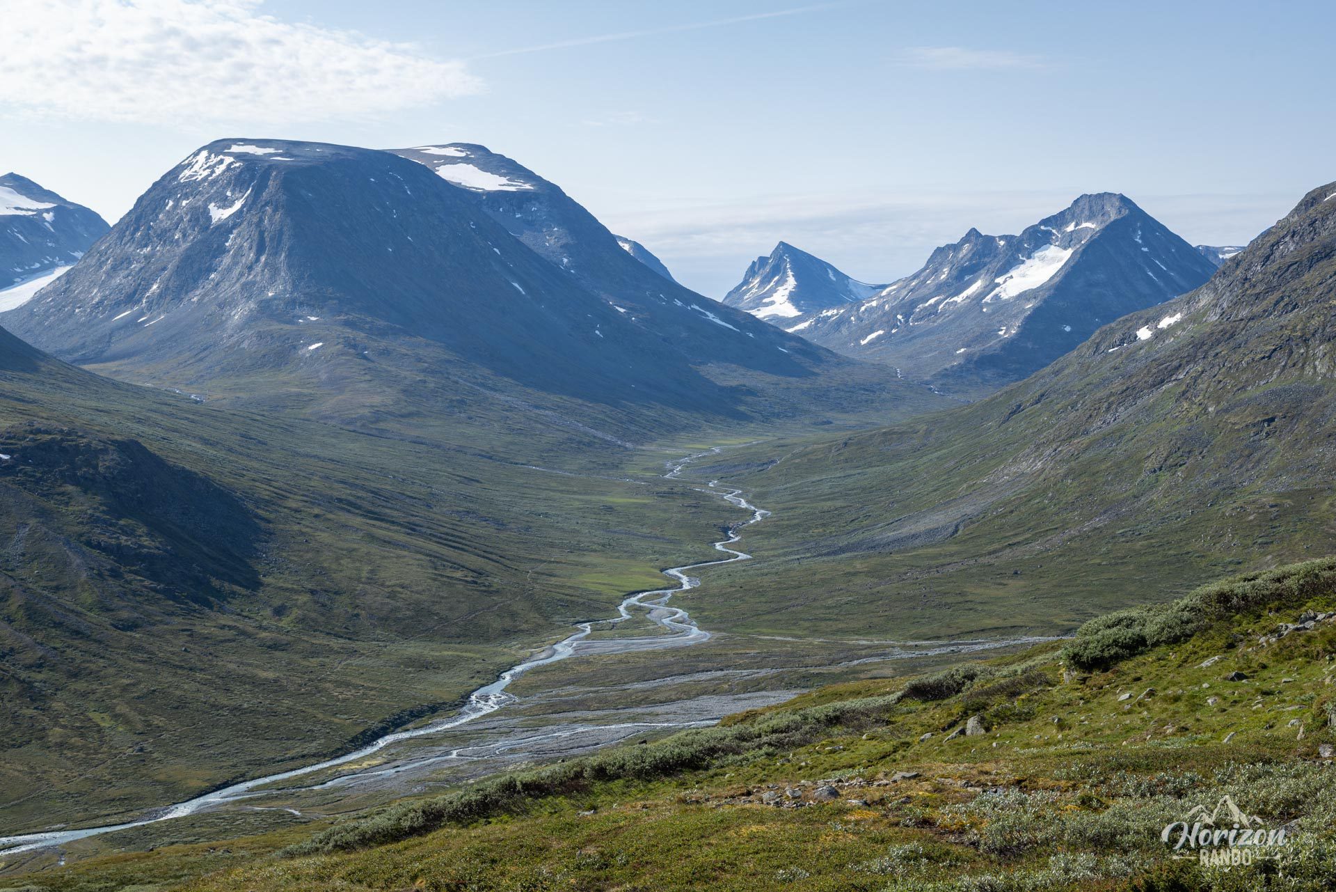
- Immersion in a high mountain atmosphere, in the heart of an impressive glacial world despite the moderate altitude.
Practical information
Access and parking
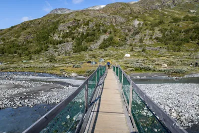
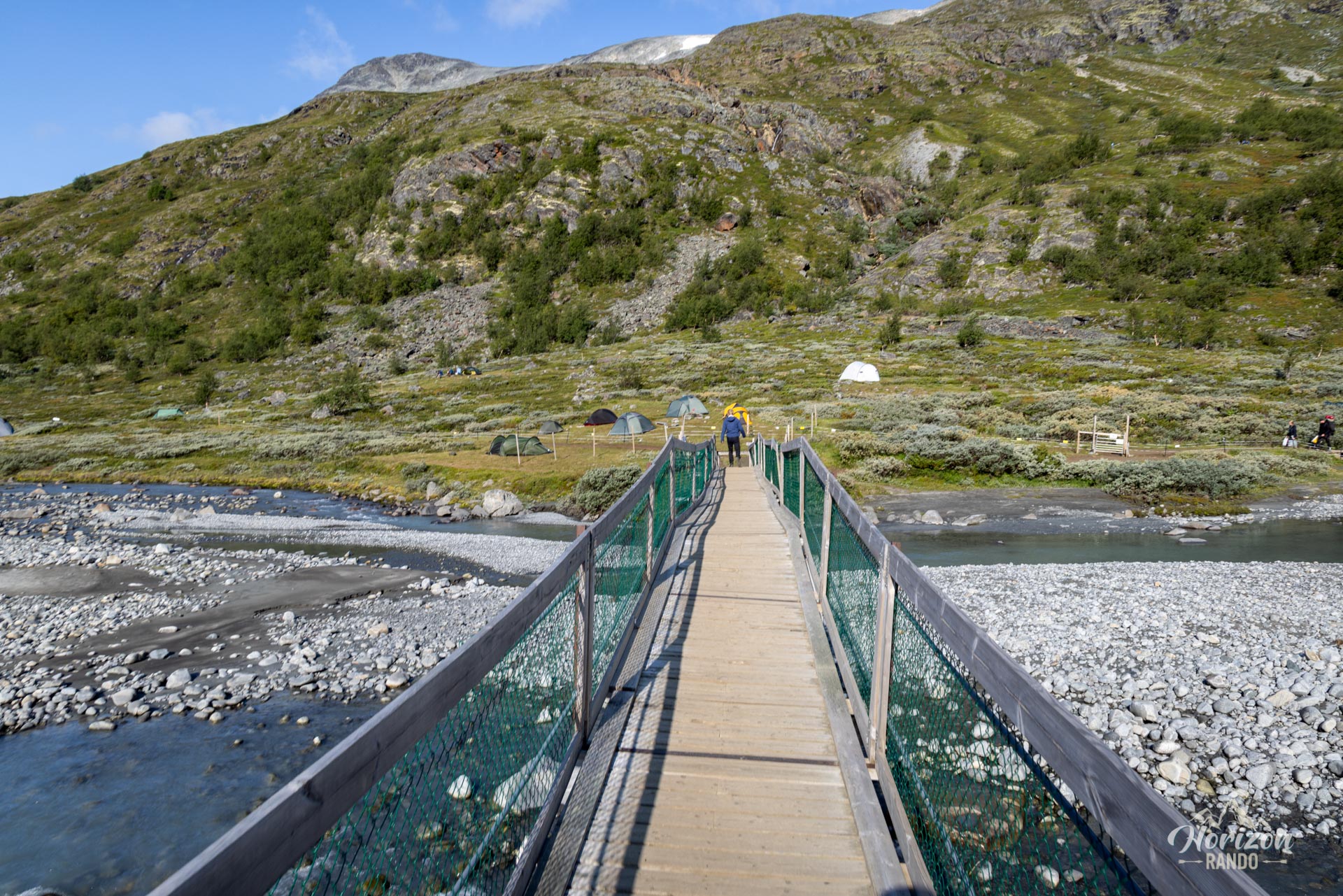
The trailhead at Spiterstulen is accessible via a 15-kilometer gravel road, which is subject to a toll (indicative price in 2025: NOK 150). There is a large on-site parking lot (NOK 75). The site also has a campground and a lodge.
Equipment
Hiking poles, warm and windproof clothing, and gaiters (especially at the beginning of the season).
Best time to go
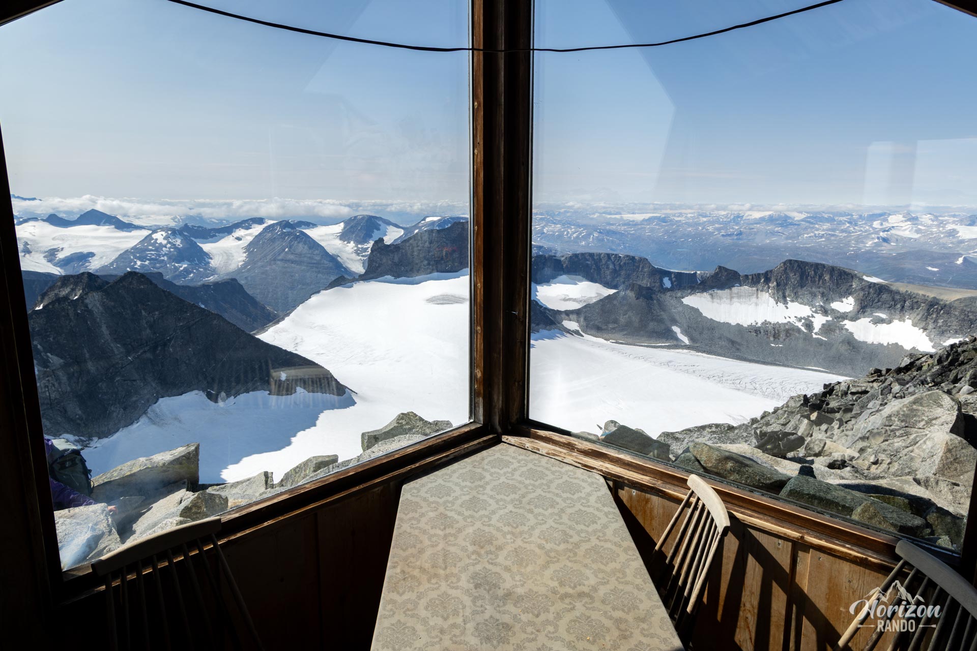
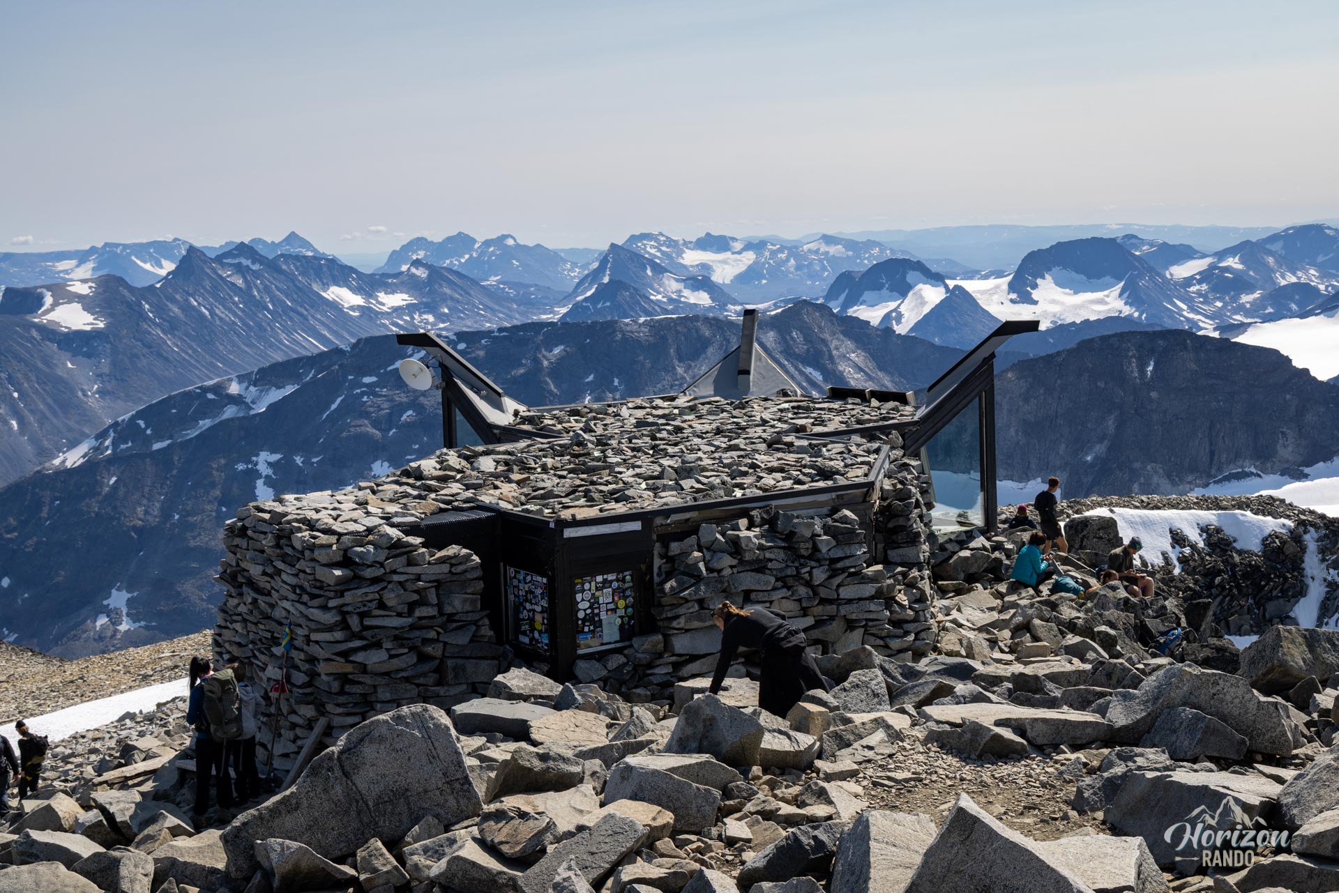
July and August are the best months, with less snow and more stable weather. The small café at the summit is usually open during this period in good weather.
Photos
See all 19 photos →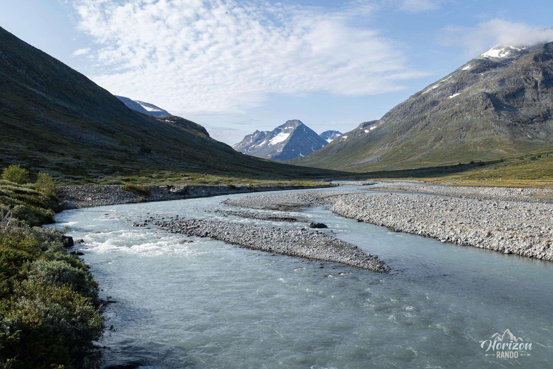
More hikes to do in Norway
Nearby hikes





















Printed from www.horizonrando.fr/en/norway/galdhopiggen/