






Gaustatoppen Hike
Key facts about the hike
- Difficulty
- Hard Hikes are rated from very easy to very hard: my difficulty scale
- Duration
- 4h Estimated time, short breaks included (photos, water, snacks), picnic not included: how it is calculated
- Distance
- 10.4km
- out and back
- Elevation gain
- 730m
- Type of route
- Out and back
- Maximum altitude
- 1,883 m
- Vertiginous Five levels, depending on how exposed the route is: the levels in detail
- Slightly
- Marked
- Yes
- Popularity
- Very high
- County
- Telemark
- Start point
- 59.83439, 8.71395
- Activity
- Hiking
Hike overview
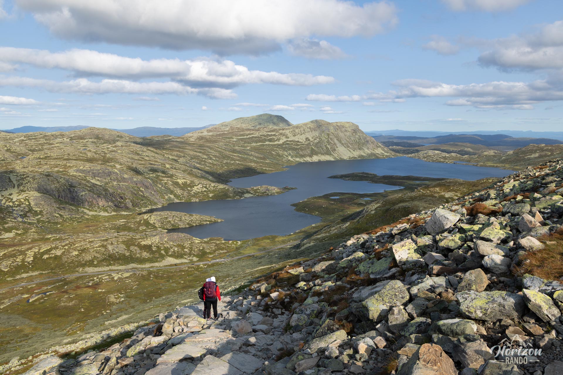
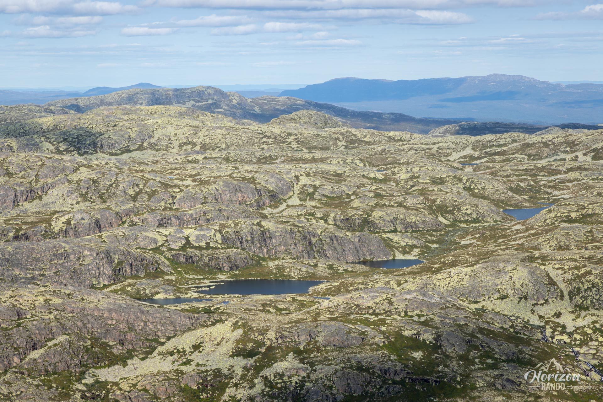
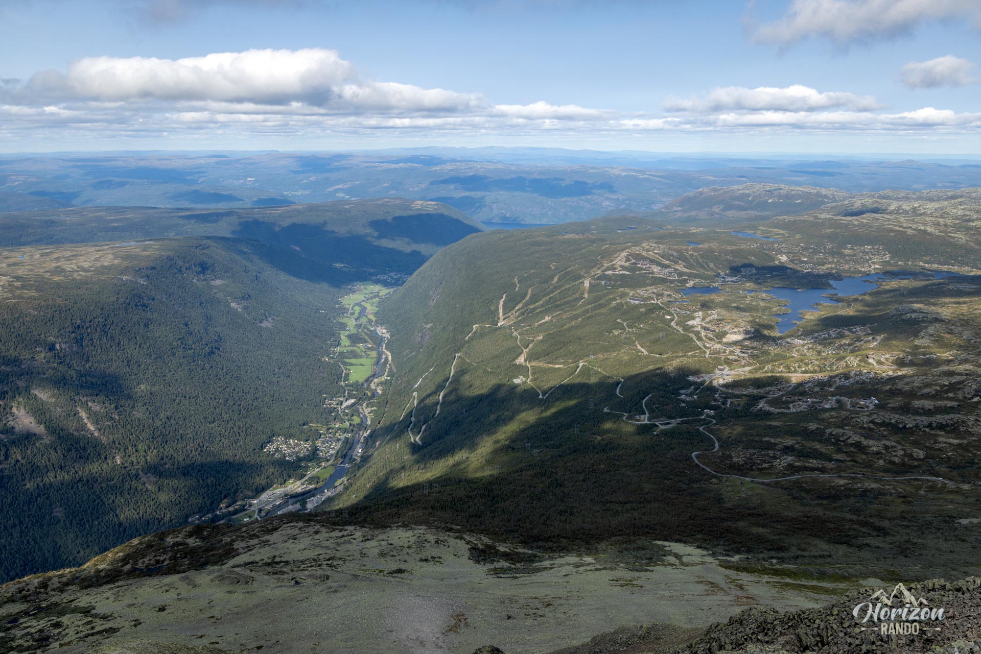
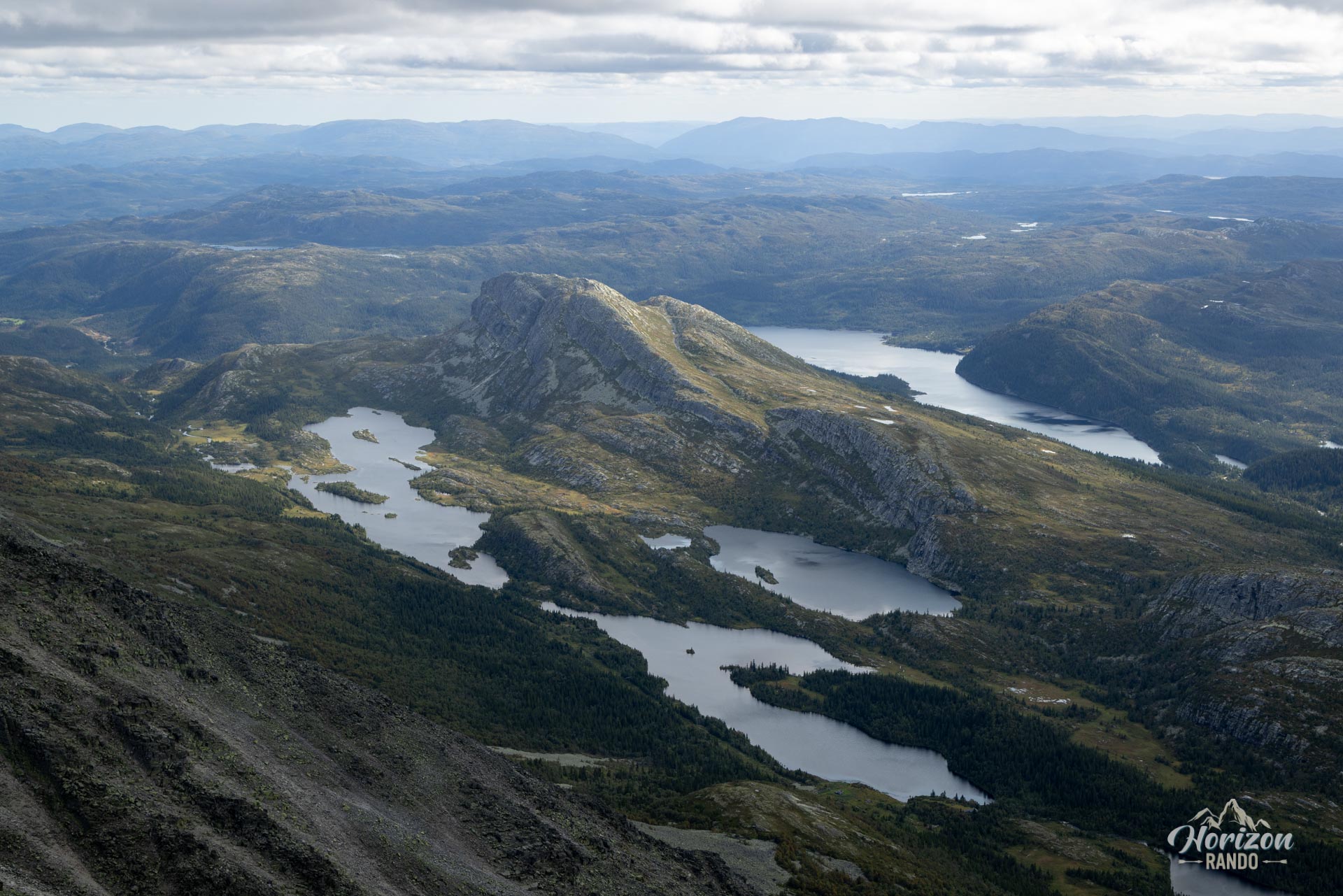
The ascent of Gaustatoppen is one of Norway's must-do hikes, leading to the most iconic peak in Telemark, at an altitude of 1,883 meters. This popular hike attracts visitors with its exceptional panoramic views. On a clear day, you can see almost one-fifth of Norway from this unique, high-mountain vantage point. Gaustatoppen towers over the surrounding area, providing unobstructed, spectacular vistas that can make neighboring peaks appear flat.
Map and elevation profile of the hike
Gaustatoppen Hike
Difficulties of the hike
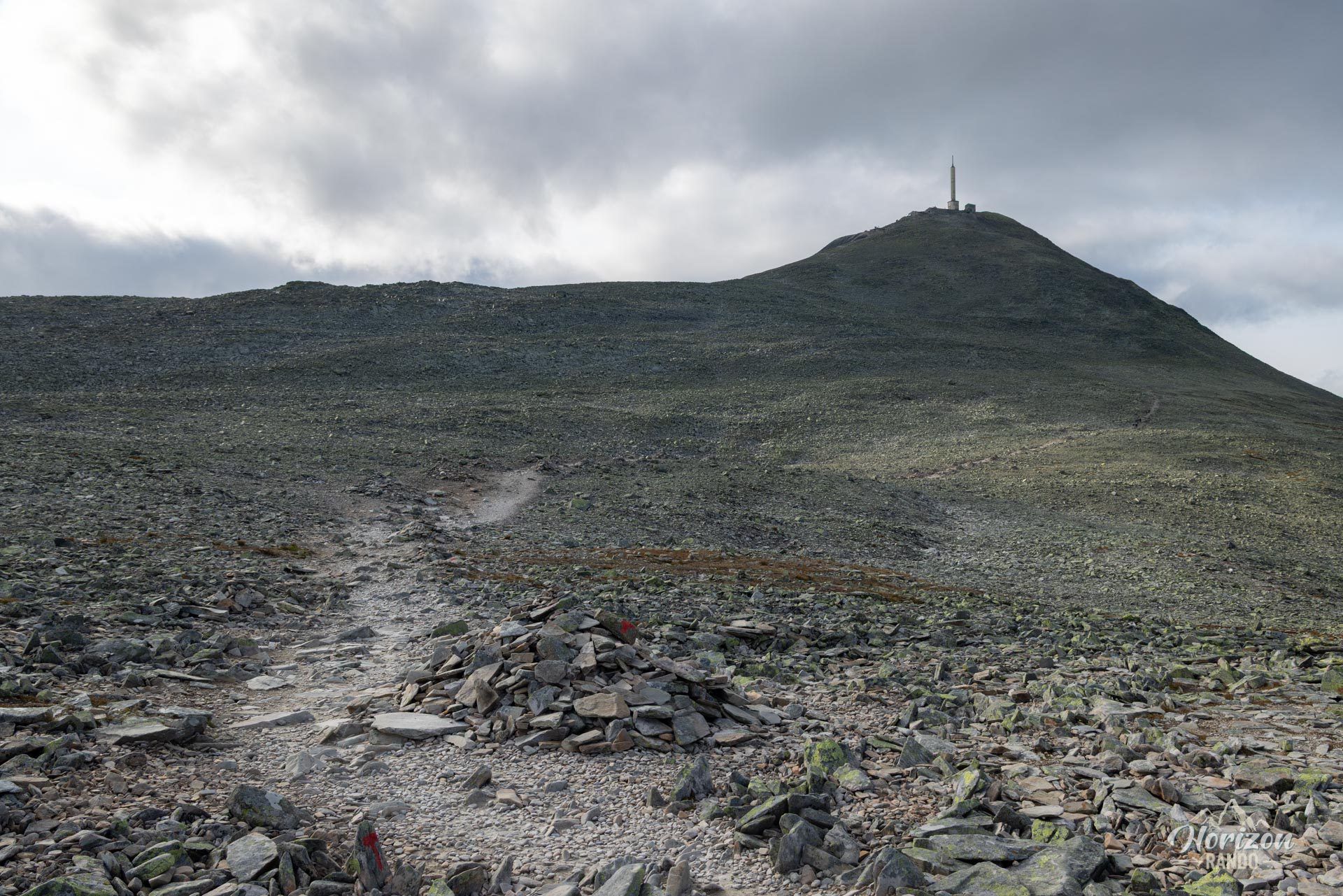
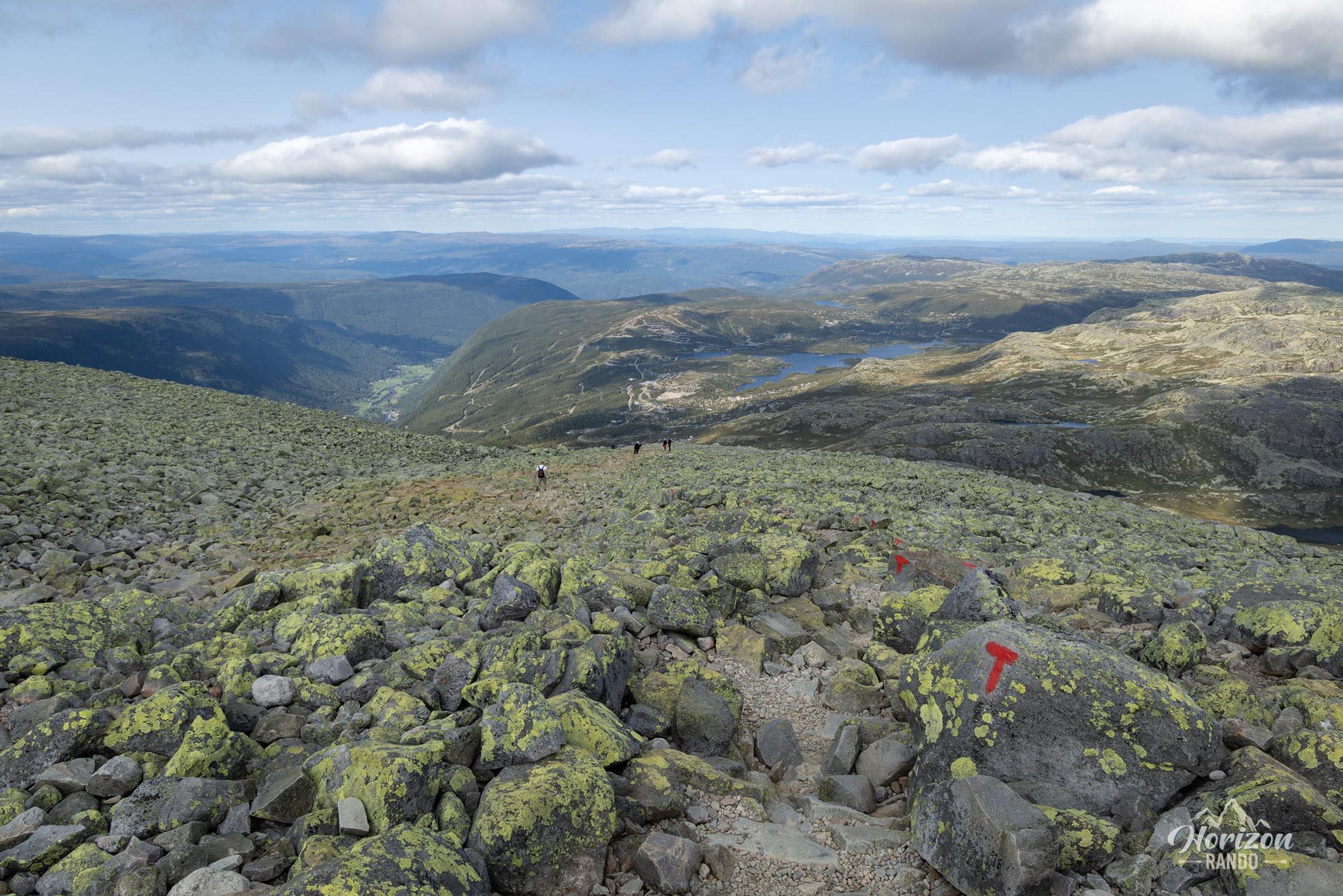
The route is moderately difficult until you reach the historic Gaustatoppen Turisthytte refuge at 1,830 meters. It becomes more challenging during the last few meters leading to the summit. Expect an elevation gain of around 700 meters on a well-marked, mainly rocky trail with no major technical difficulties until you reach the refuge.
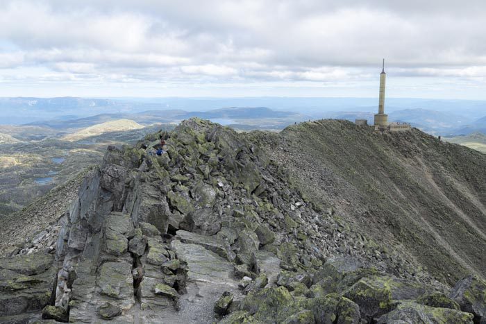
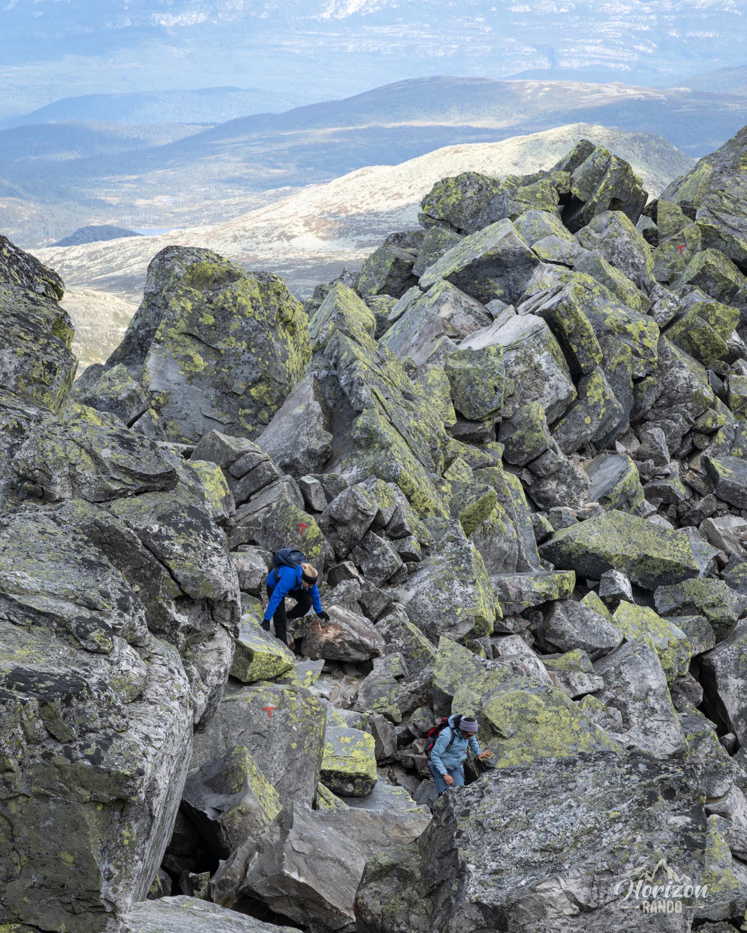
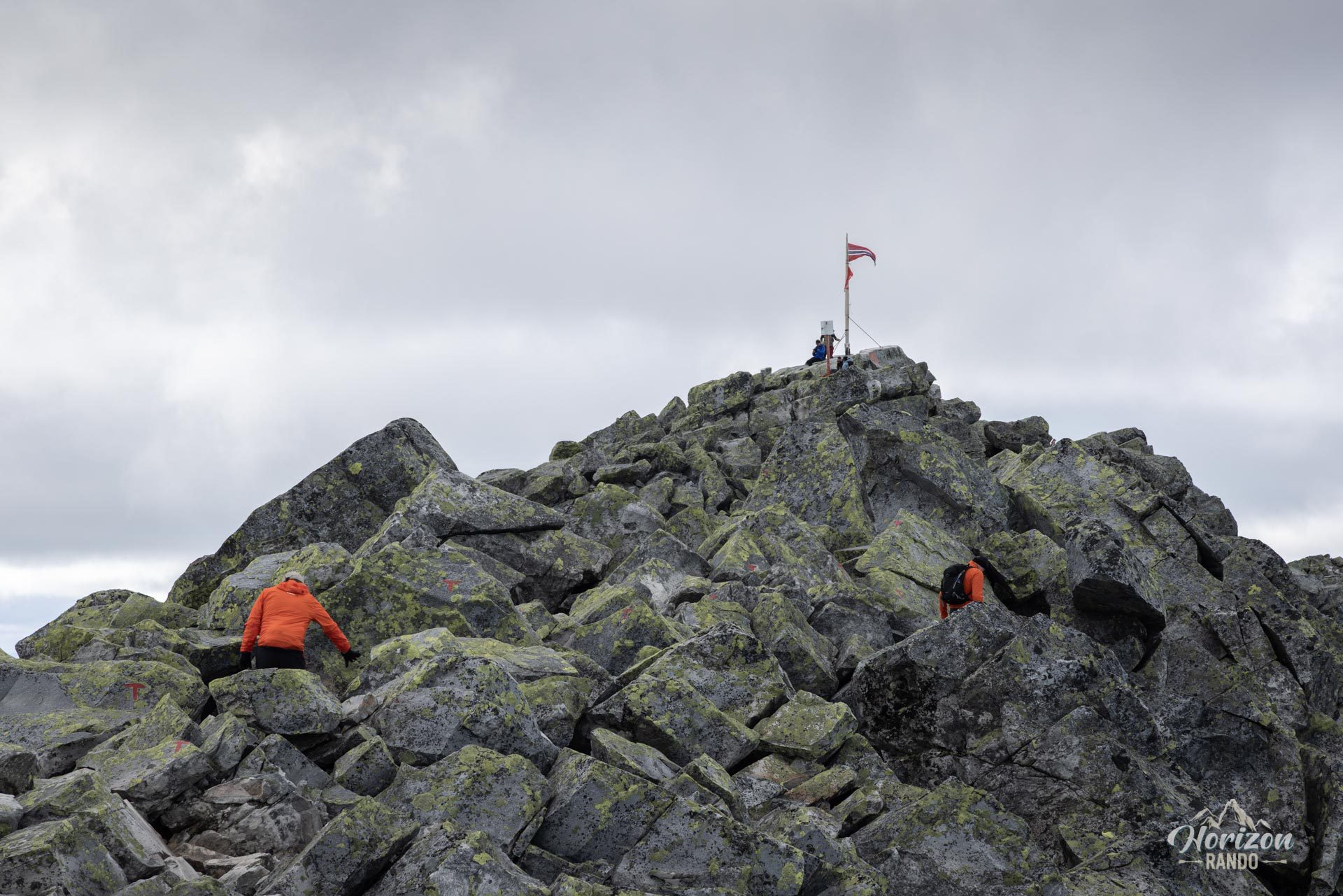
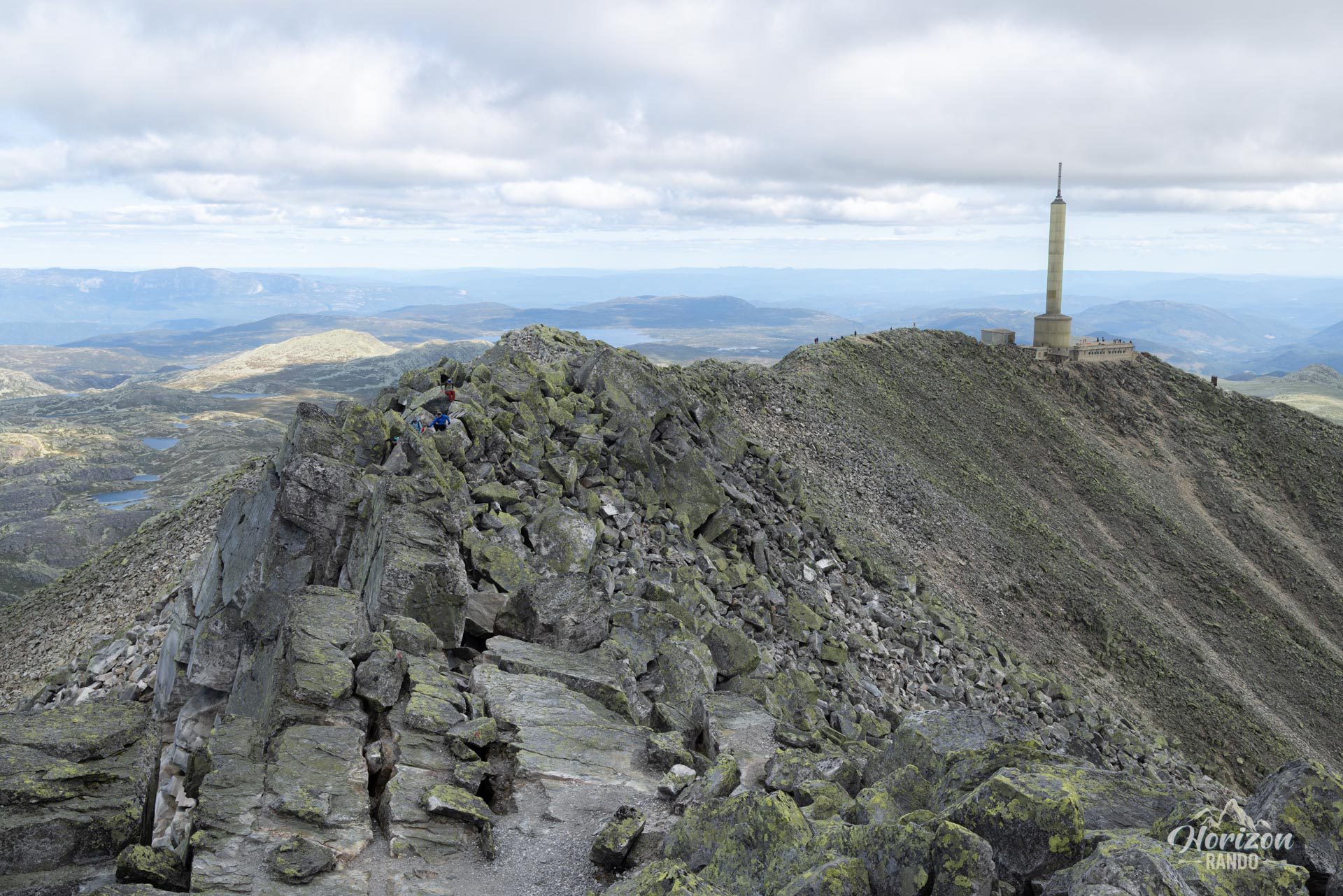
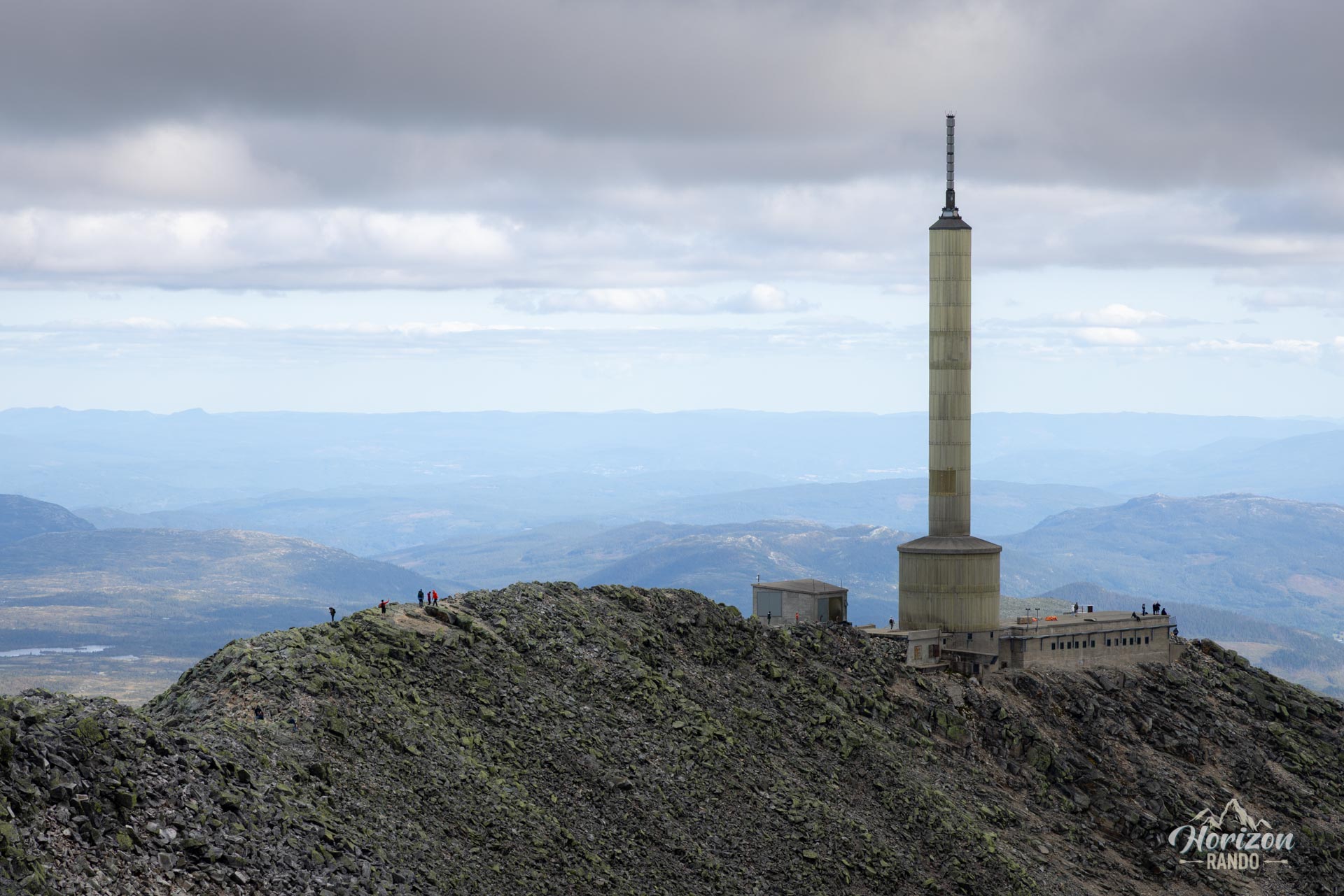
The final section, between the refuge and the summit, is completely different. It is a narrow, rocky ridge dotted with irregular boulders, requiring scrambling. This passage is not recommended for those afraid of heights. Only attempt this final section if you are comfortable in this type of environment.
What you'll love
- The 360° views from the summit are absolutely spectacular and offer a unique glimpse of Norway's vastness on a clear day.
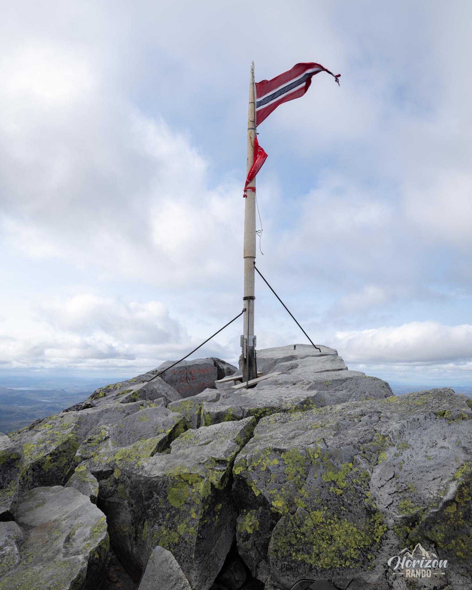
- The sense of accomplishment upon reaching the "roof of Telemark," which sits at an elevation of 1,883 meters, is unparalleled.
Practical information
Access
There is a large parking lot in Stavsro with an indicative price of NOK 150 in 2025.
Best time to go
From July to September, on average. See the Norway FAQ for more details.
Services at the summit
The Gaustatoppen Turisthytte refuge offers restrooms, drinks, waffles, and snacks.
Please note
The Gaustabanen funicular allows you to ascend or descend from a different access point. This significantly increases the number of visitors to the summit, especially during the high season.
Photos
See all 12 photos →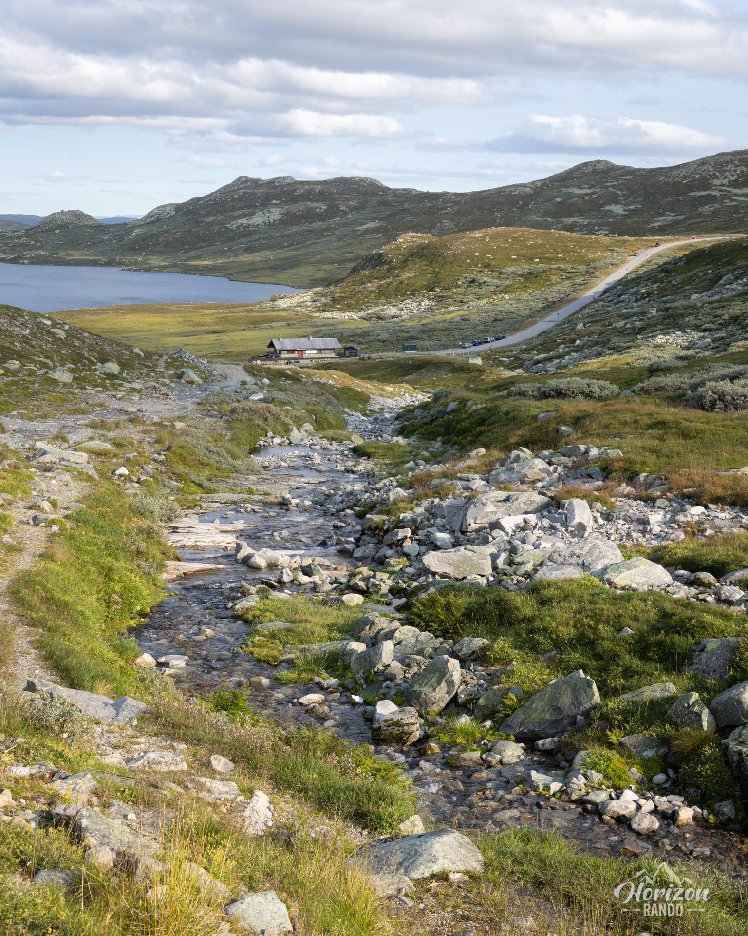
More hikes to do in Norway
Nearby hikes
























Printed from www.horizonrando.fr/en/norway/gaustatoppen/