





Fløya Hike
Key facts about the hike
- Difficulty
- Moderate Hikes are rated from very easy to very hard: my difficulty scale
- Duration
- 3h30 Estimated time, short breaks included (photos, water, snacks), picnic not included: how it is calculated
- Distance
- 4km
- Elevation gain
- 600m
- Type of route
- Loop
- Maximum altitude
- 575 m
- Vertiginous Five levels, depending on how exposed the route is: the levels in detail
- Slightly
- Marked
- Yes
- Popularity
- Very high
- Island
- Austvågøya, Lofoten
- Start point
- 68.24479, 14.57796
- Activity
- Hiking
Hike overview
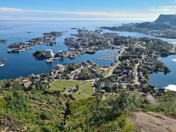
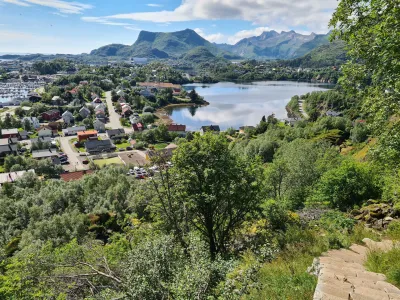
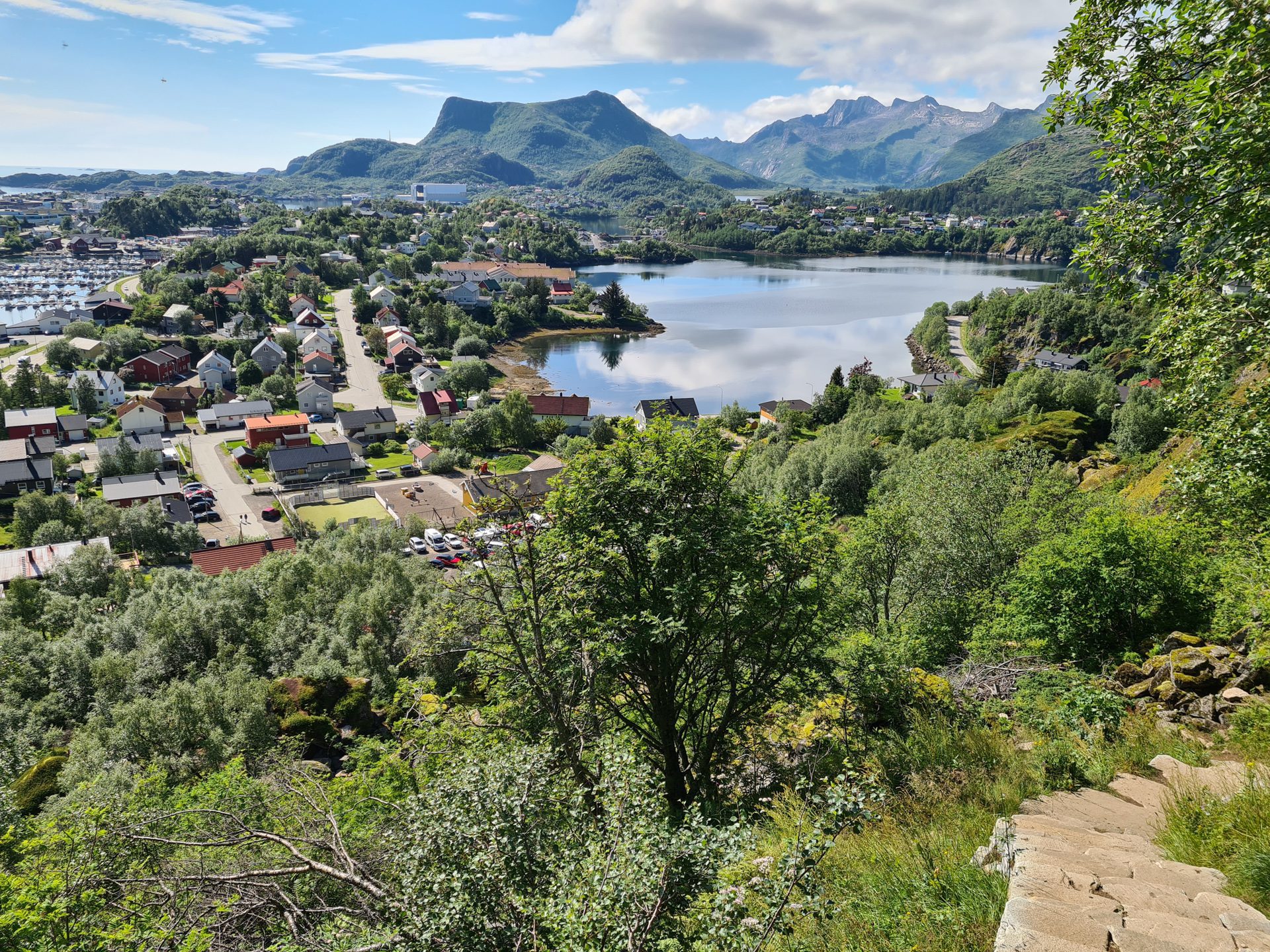
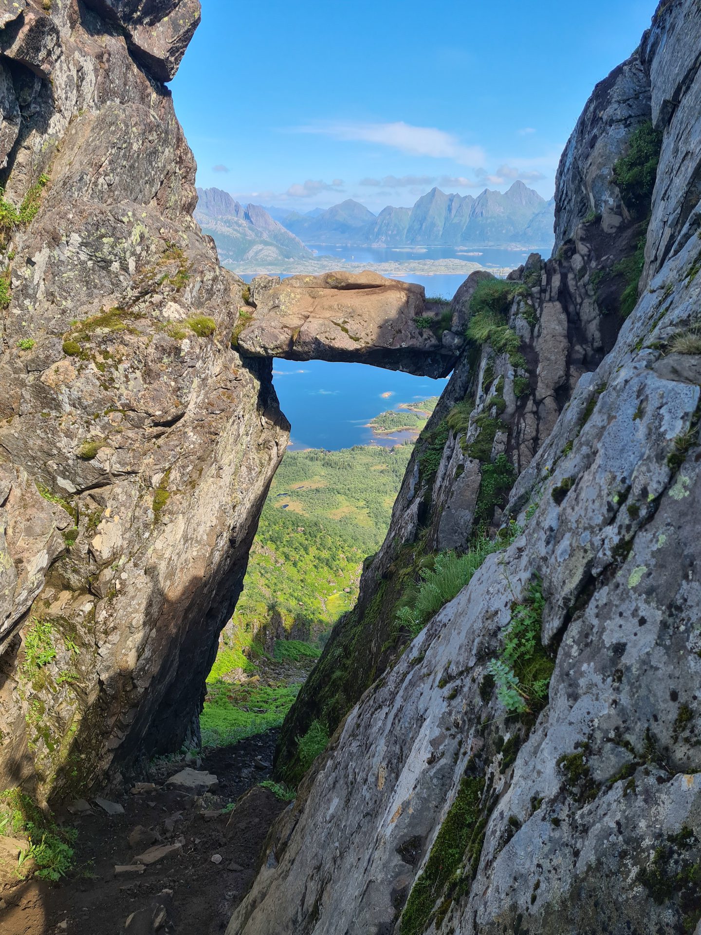
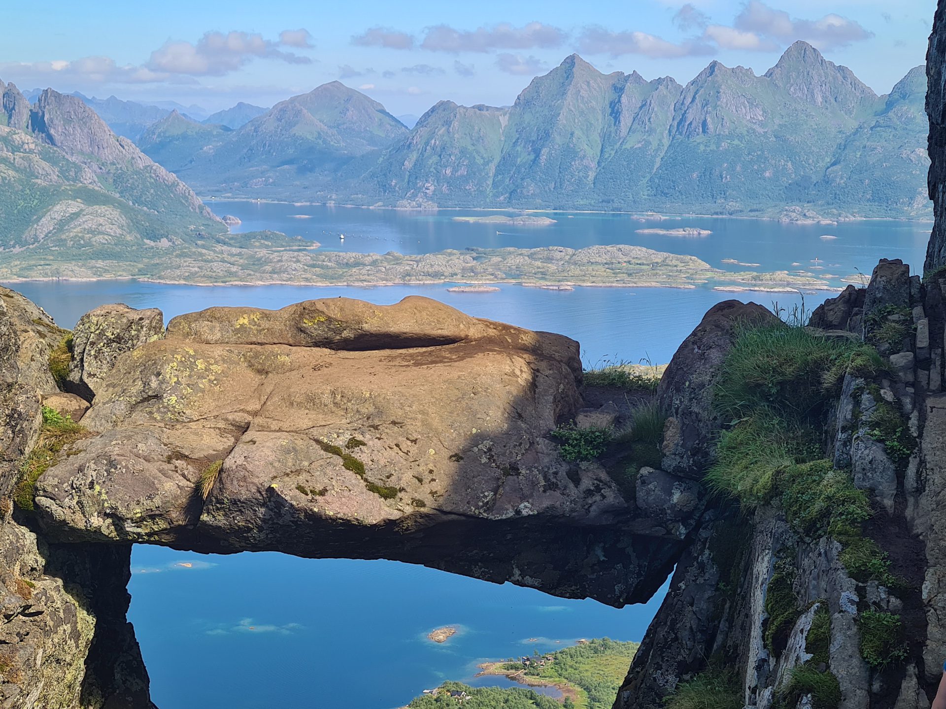
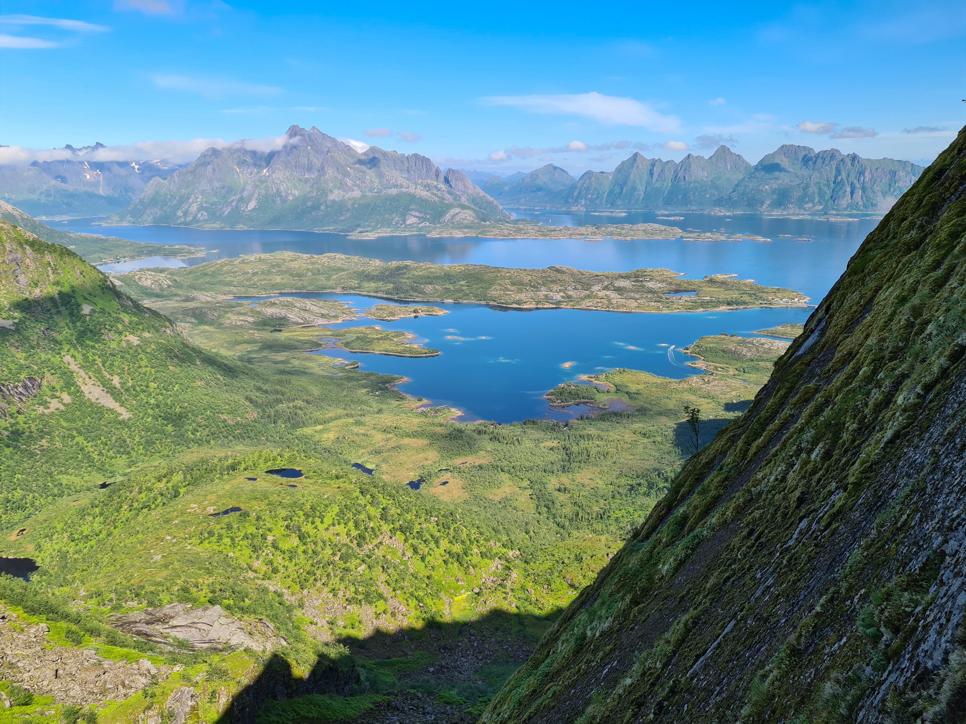
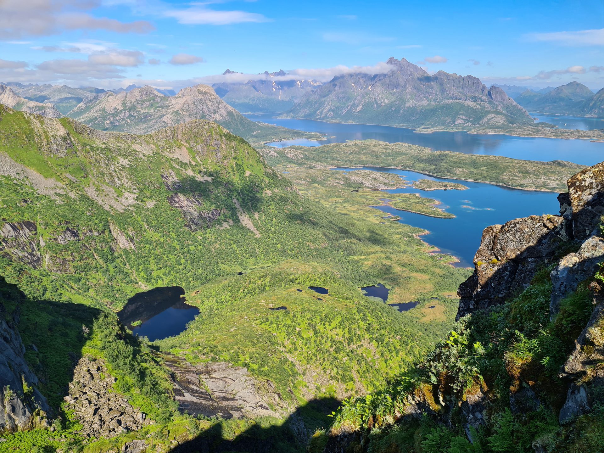
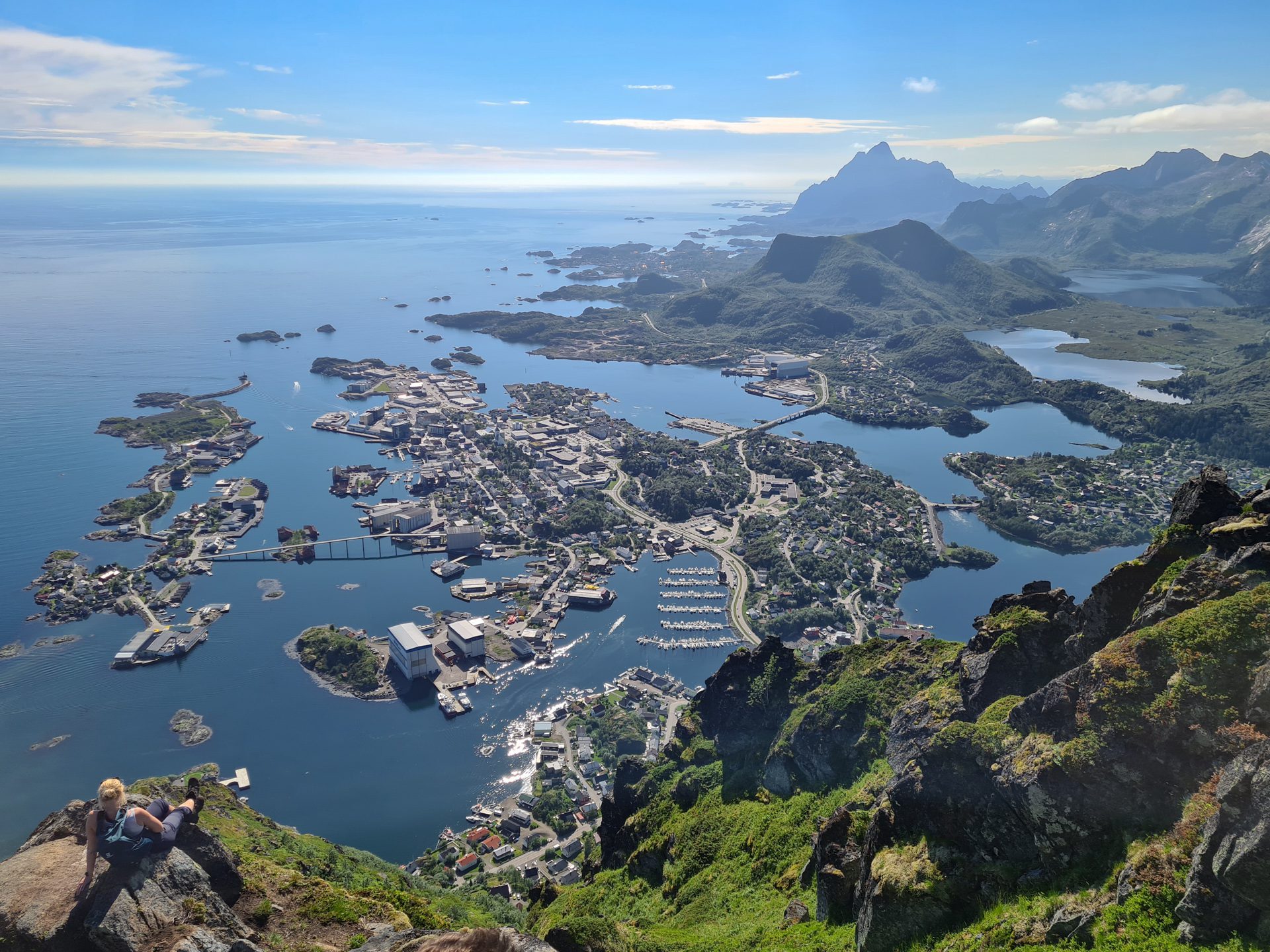
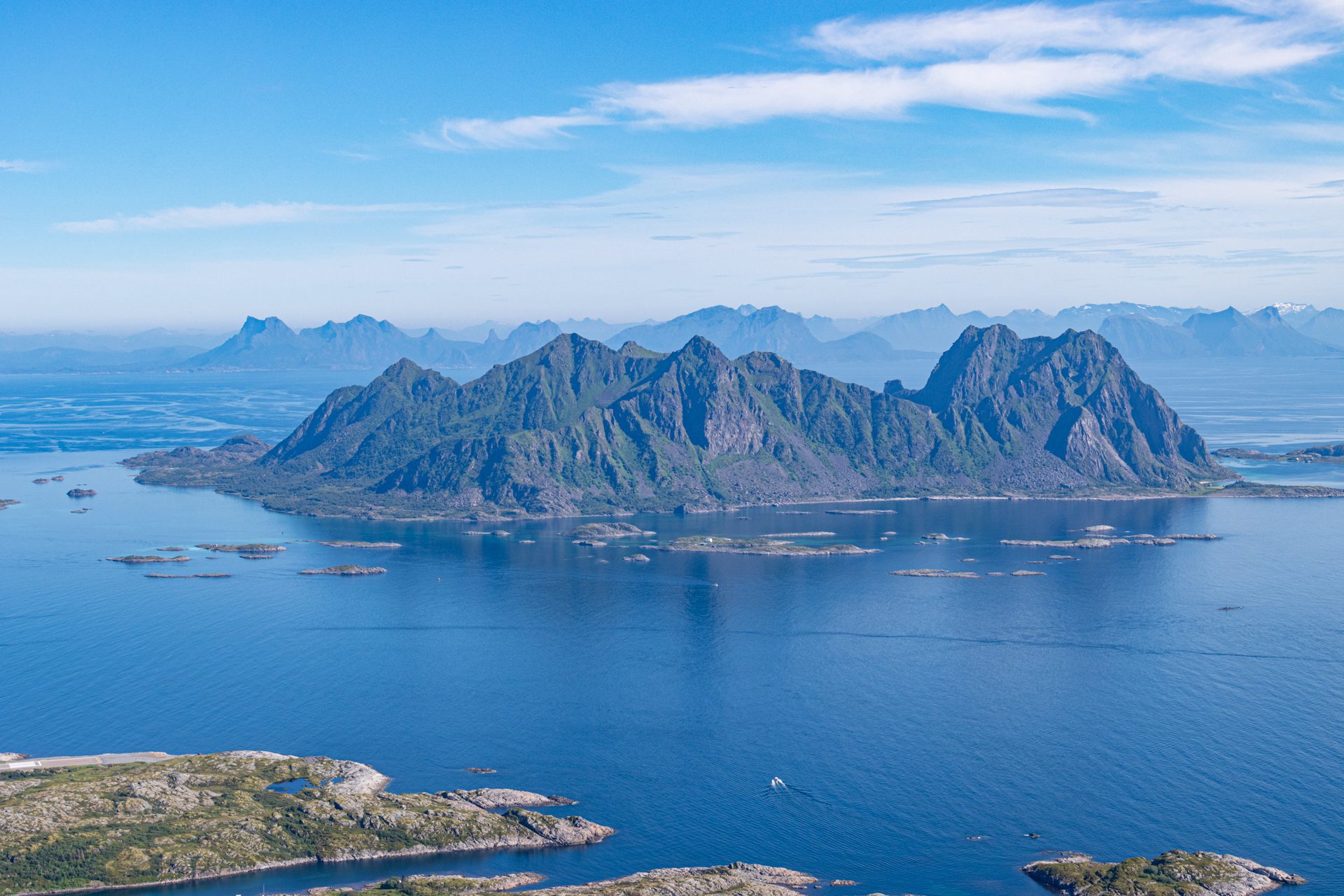
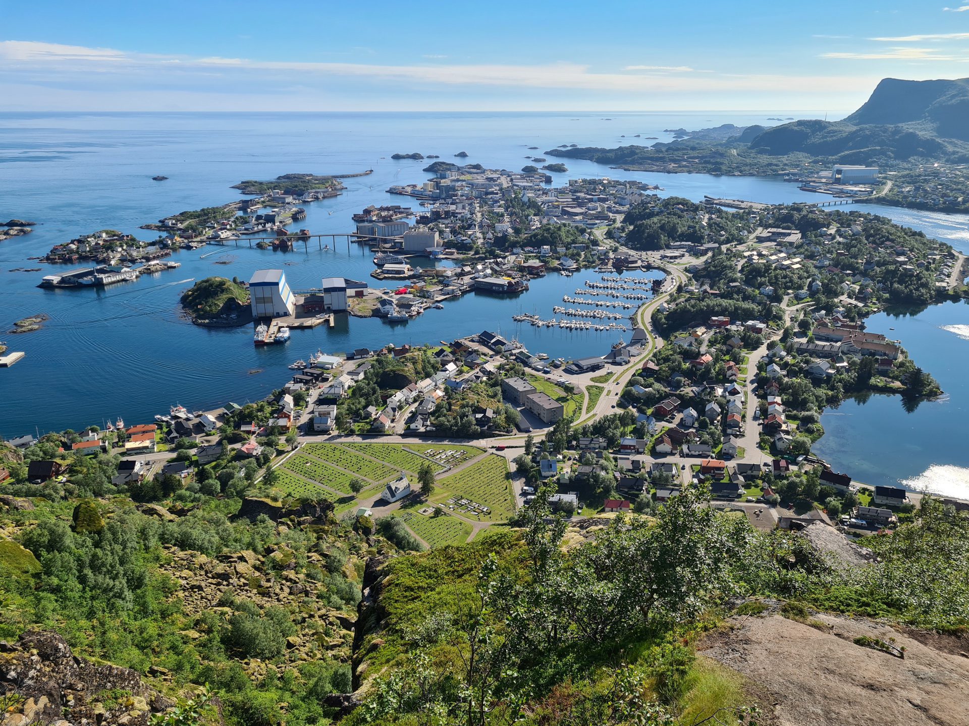
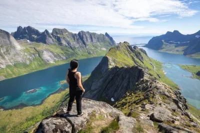
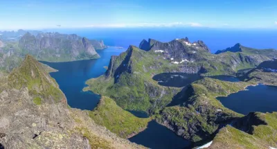
The hike up Fløya is the most popular climb in Svolvær, as well as on the entire island of Austvågøya in the Lofoten archipelago. This short but intense route offers an exceptional 360-degree panorama of Svolvær, the capital of Lofoten, the surrounding fjords, and the island's highest peaks. The route takes you to the famous Djevelporten (Devil's Gate), a rock wedged between two rock faces that is a popular photo spot, similar to Kjeragbolten.
Map and elevation profile of the hike
Fløya Hike
Description and difficulties of the hike
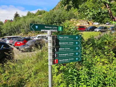
The route does not present any major difficulties. The slopes are relatively steep, but the path is clearly visible thanks to the numerous passages and is well marked and signposted, which is rare in Lofoten.
The first part of the trail begins with the Sherpa Stairs (Djeveltrappa), which were built to facilitate the ascent on the steepest section. The terrain then becomes rocky, with muddy sections, especially in wet weather.
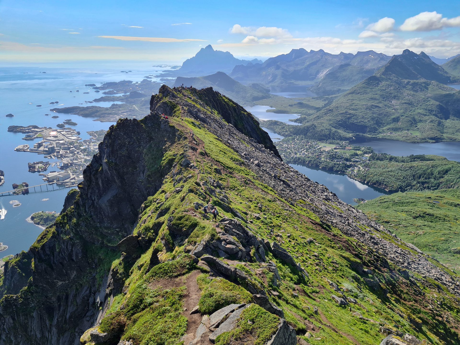
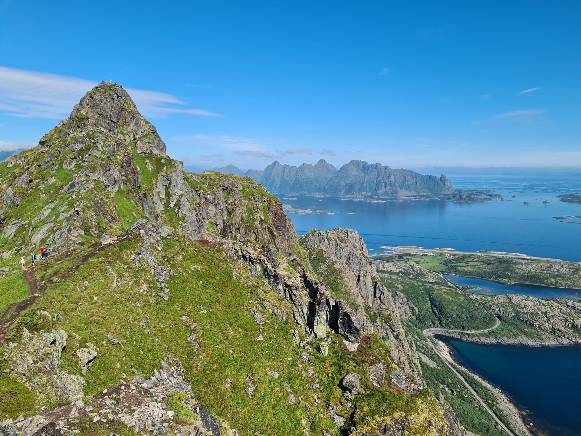
After reaching Djevelporten, the trail continues along the ridge towards Fløya. Only climb to the summit if you are an experienced mountaineer and sure-footed. The last few meters require some scrambling, and there is no room for error. This route should be avoided by anyone afraid of heights. Instead, continue along the wide ridge towards the southwest. There, you will find several beautiful viewpoints overlooking Svolvær and the north and east sides of Austvågøya.
What you'll love
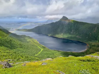
- The 360-degree panorama from the summit offering spectacular views of Svolvær, the region's lakes, and Austvågøya's highest peaks to the north.
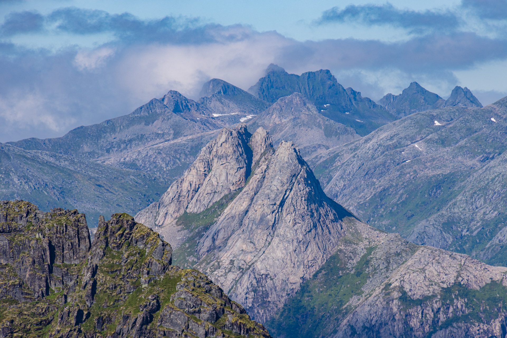
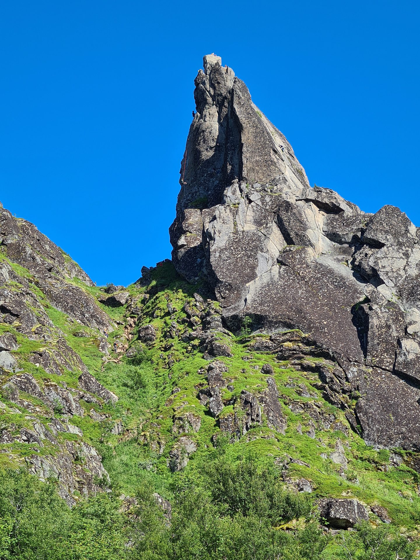
- The opportunity to admire the famous Svolværgeita (the Svolvær Goat), an iconic rock formation that is visible from the trail.
- Standing on Djevelporten, a rock wedged between two cliffs that forms a natural arch.
Practical information
Access
Departure is less than two kilometers from the center of Svolvær. There is paid parking at the trailhead, but spaces are limited. Alternative parking is available in the city center.
Best time to go
Mid-May to mid-October on average. See the Norway FAQ for more details.
Photos
See all 13 photos →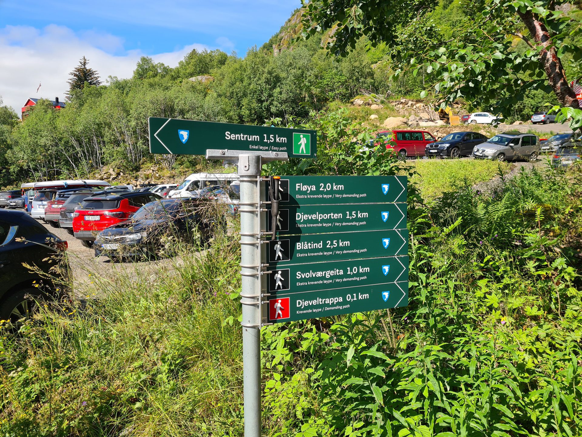
More hikes to do in Norway
Nearby hikes














Printed from www.horizonrando.fr/en/norway/floya/