






Dalstinden Hike
Key facts about the hike
- Difficulty
- Moderate Hikes are rated from very easy to very hard: my difficulty scale
- Duration
- 3h Estimated time, short breaks included (photos, water, snacks), picnic not included: how it is calculated
- Distance
- 5.9km
- out and back
- Elevation gain
- 510m
- Type of route
- Out and back
- Maximum altitude
- 451 m
- Vertiginous Five levels, depending on how exposed the route is: the levels in detail
- No
- Marked
- No
- Popularity
- Very low
- Island
- Vestvågøya, Lofoten
- Start point
- 68.21172, 14.03511
- Activity
- Hiking
Hike overview
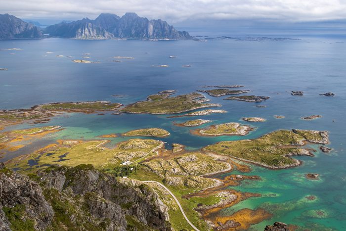
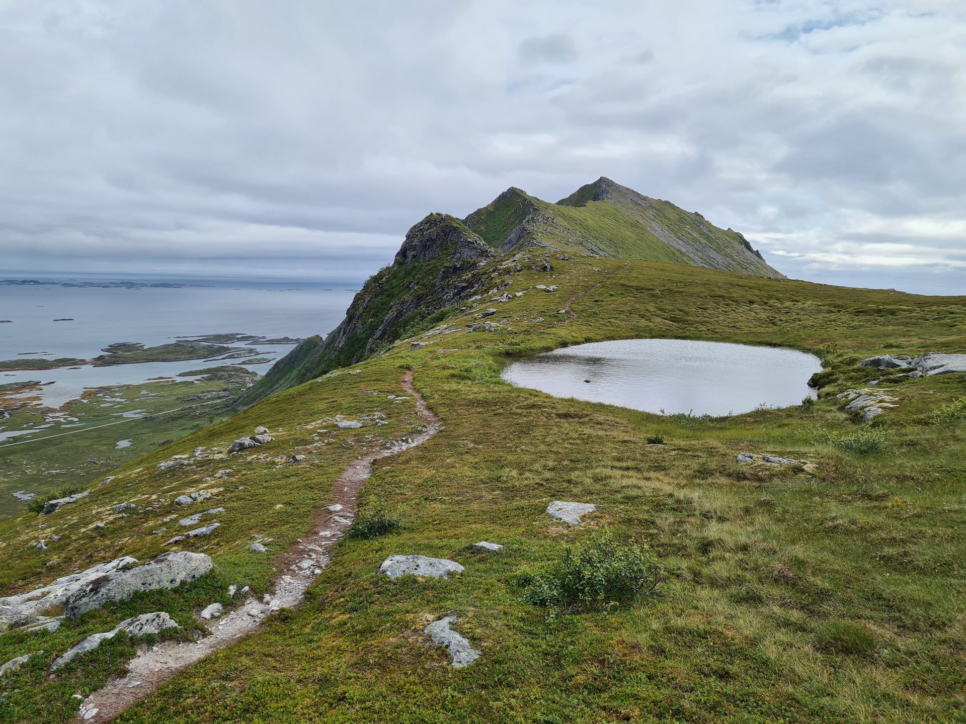
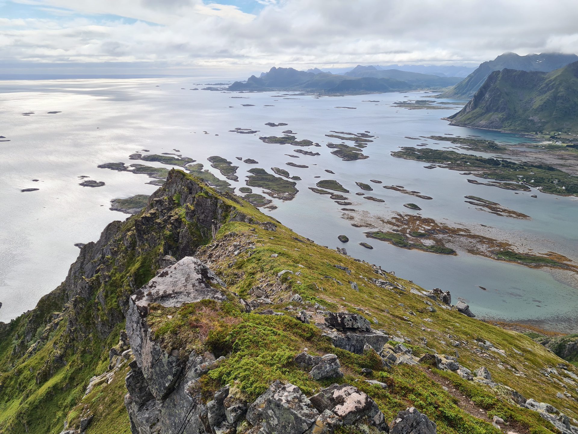
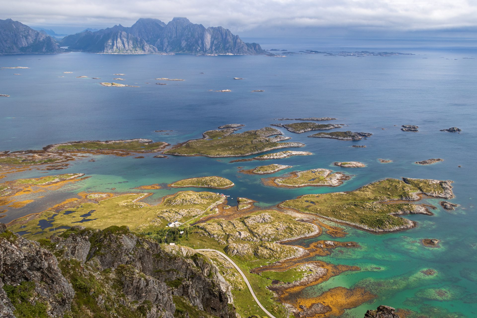
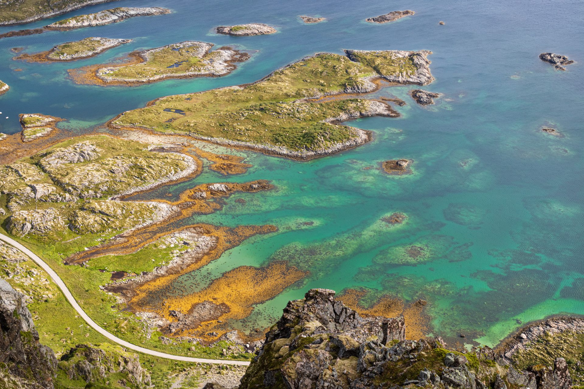
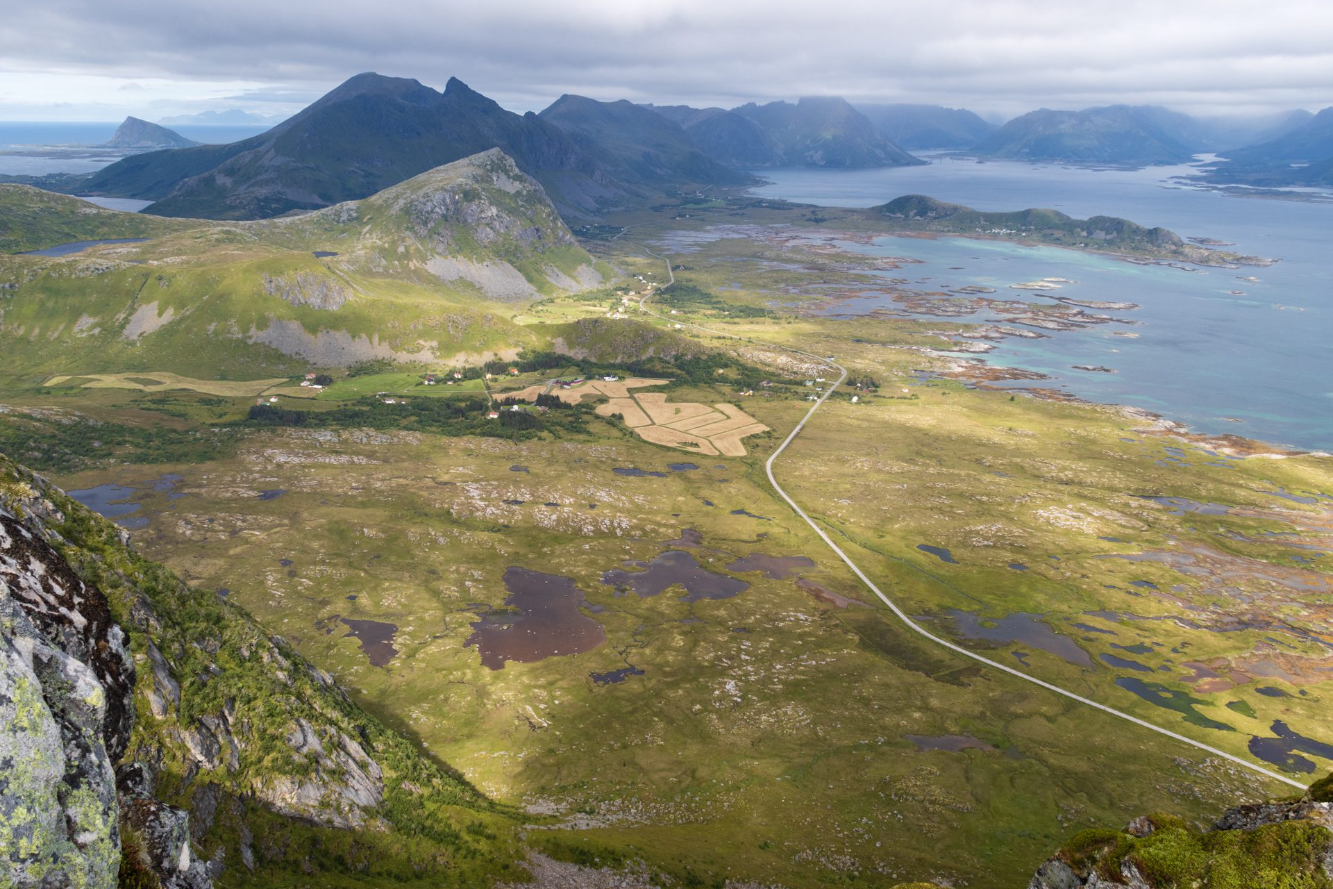
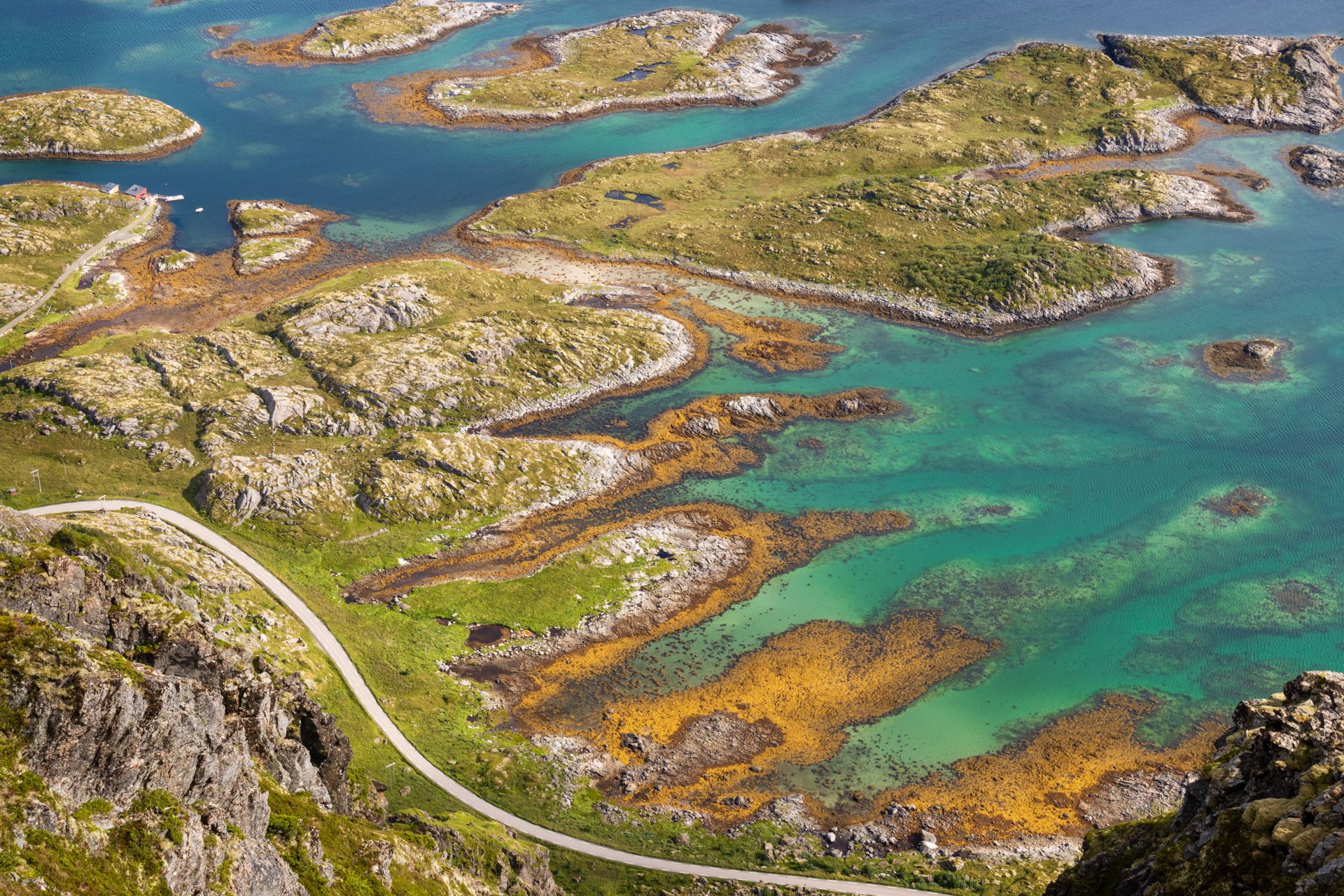
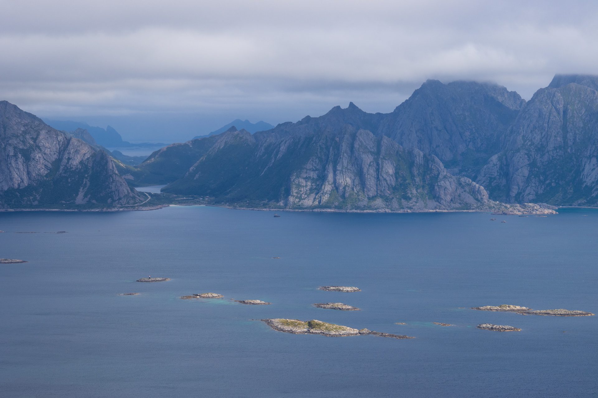
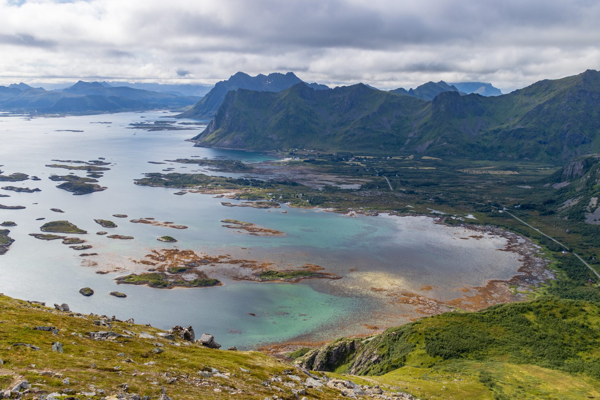
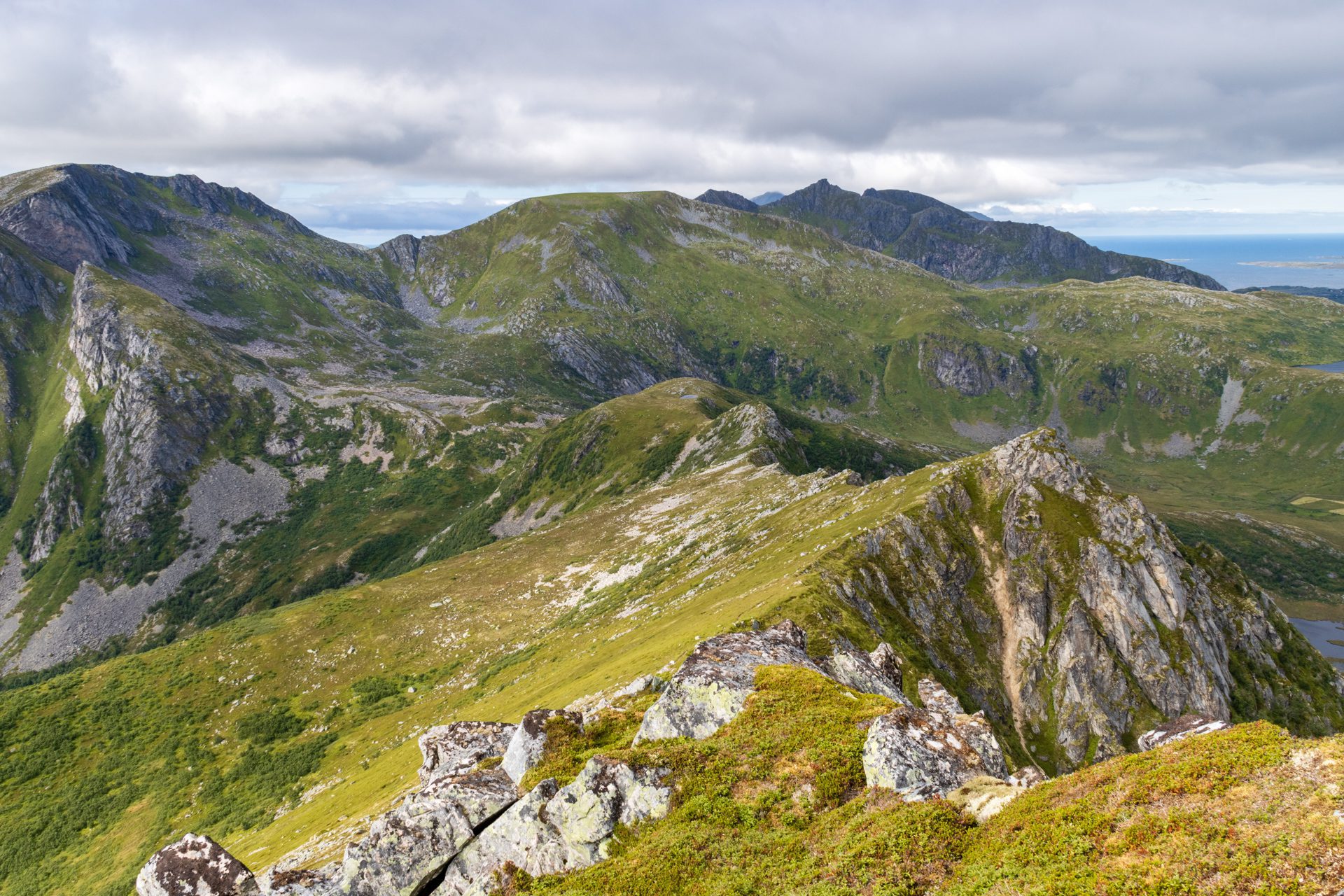
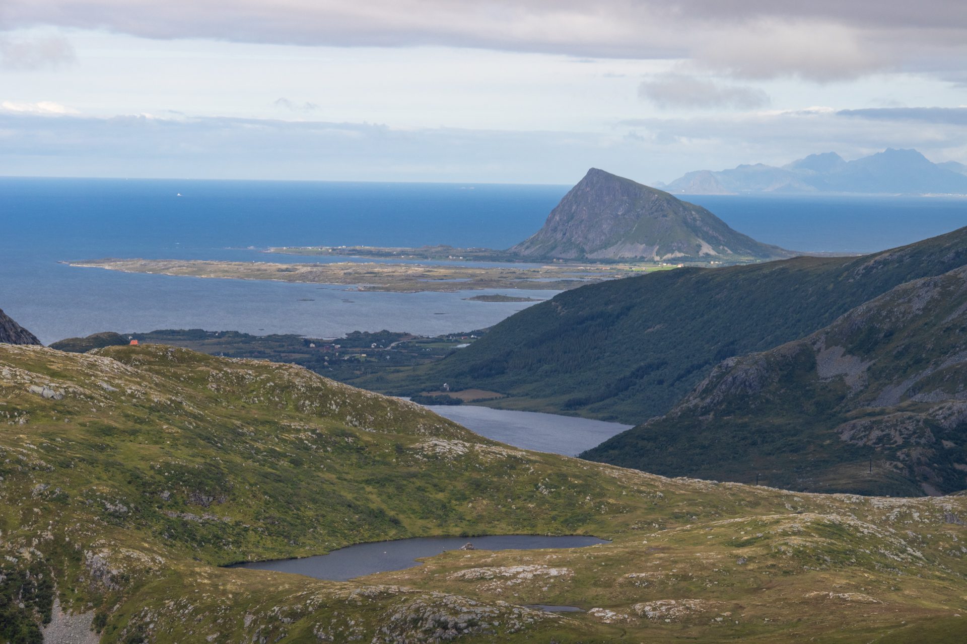
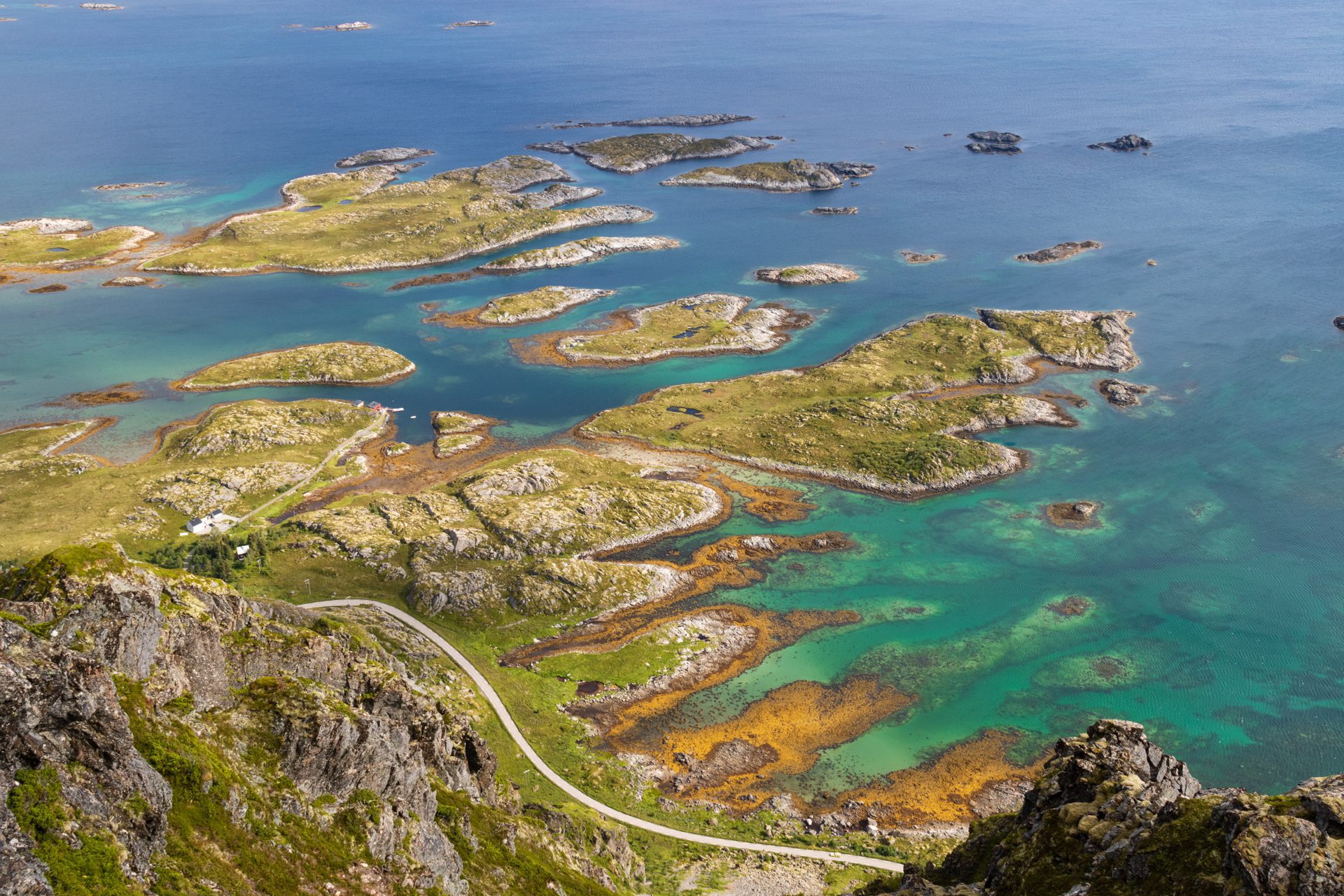
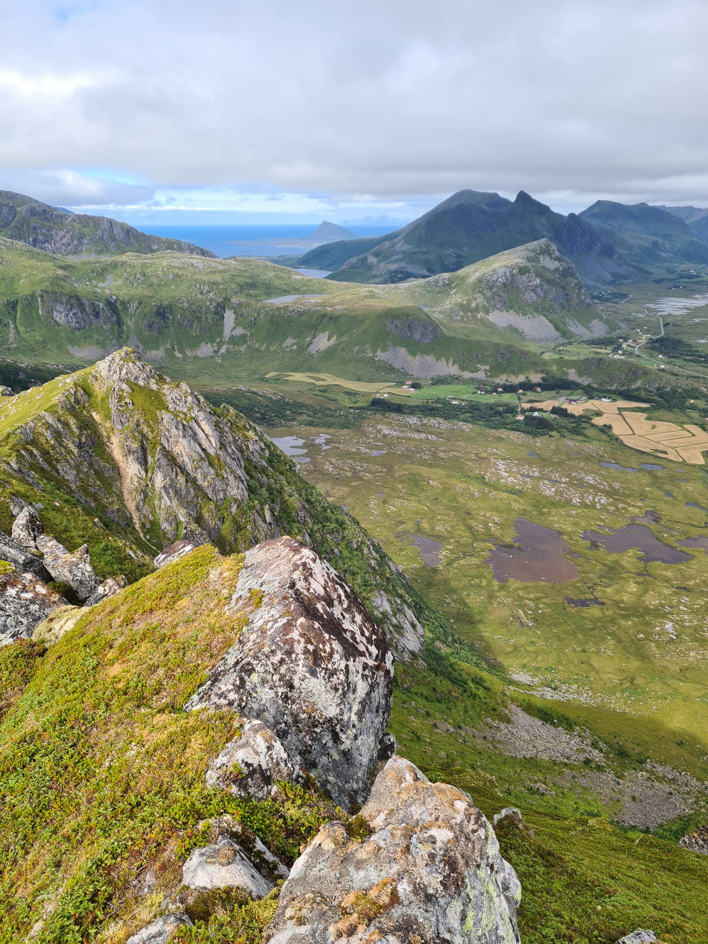
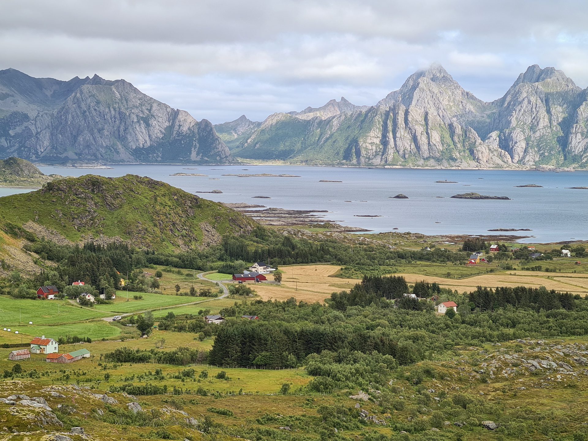
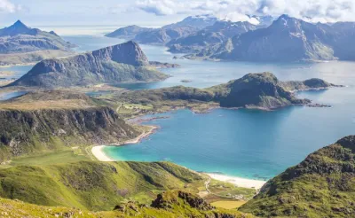
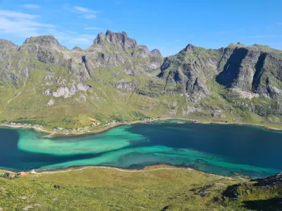
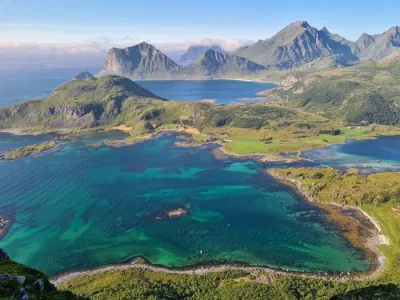
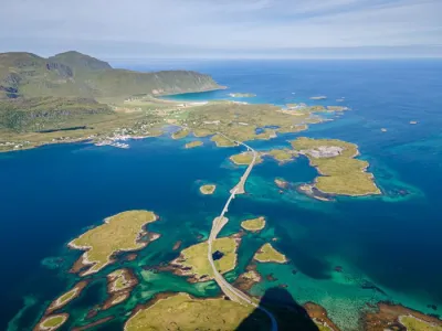
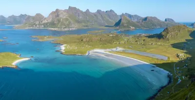
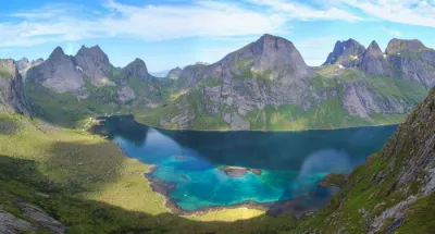
The hike up Dalstinden (451 m) takes you to a lesser-known peak on Vestvågøya Island in Norway. The trail quickly leads to a magnificent ridge where you can enjoy the most beautiful views of the eastern coast of Lofoten, with its numerous coves, clusters of islands and islets, and crystal-clear waters. Enjoy superb panoramic views of the south coast of Vestvågøya, the Skokkelvikøyan islets, the west coast of Austvågøya, and Gimsøya throughout your hike.
Map and elevation profile of the hike
Dalstinden Hike
Difficulties of the hike
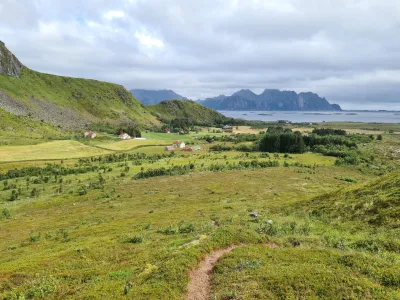
The only difficulty of the route is the need for good initial navigation. The trail is difficult to find at first, but becomes clearer as you go along.
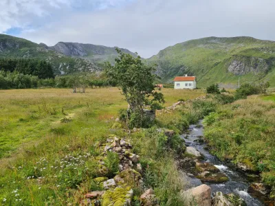
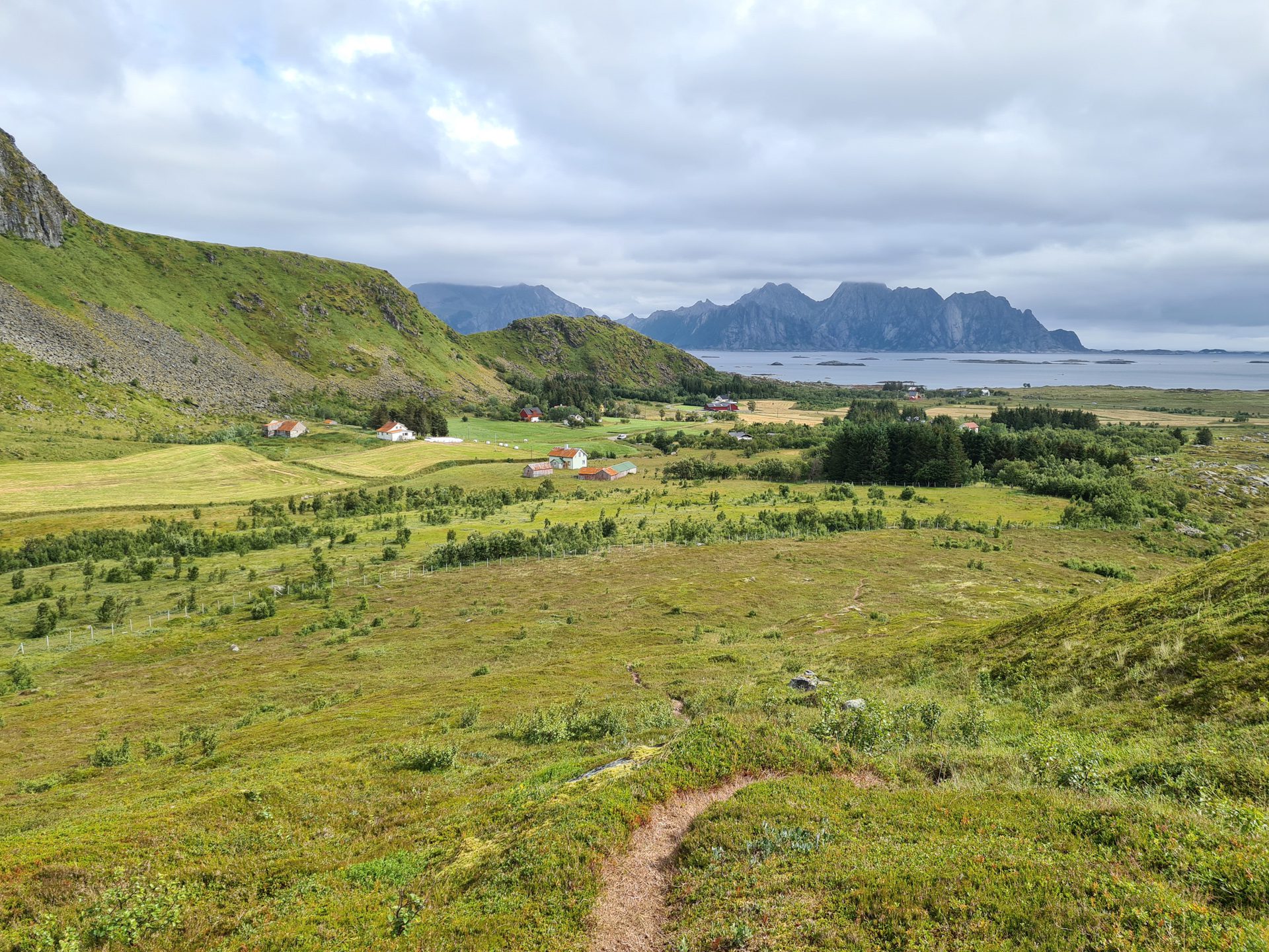
Cross the bridge to reach the right bank of the stream, and then follow it northwest for a few hundred meters. Circle around the last houses in the village of Øvredal on your left. You should soon spot a trail at the top of the small hill to the west: this is where the climb begins!
Once you find the trail, it improves considerably, and the slopes remain fairly gentle all the way to the summit.
What you'll love
- The magnificent views of the south coast of Vestvågøya, the Skokkelvikøyan islets, and the west coast of Austvågøya that can be enjoyed throughout the hike.
- The unique and spectacular landscape, with dozens of islets covered in orange lichen that emerge from turquoise waters. This setting is very different from other hikes in Lofoten.
- The wild and uncrowded nature of this hike, which allows you to enjoy beautiful tranquility far from the beaten path.
Practical information
Parking
If you are arriving by car from the west, turn left towards Øvredal about 7 kilometers after the village of Valberg, where you will see a sign for Dalsveien. Eight hundred meters after the intersection, you will find a small parking lot for a few cars near a small bridge.
Best time to go
May to October on average. See the Norway FAQ for more details.
Photos
See all 16 photos →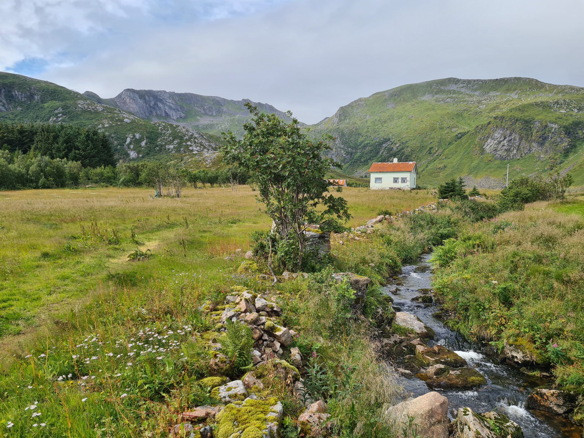

More hikes to do in Norway
Nearby hikes


















Printed from www.horizonrando.fr/en/norway/dalstinden/