





Storknubben Hike
Key facts about the hike
- Duration
- 3h Estimated time, short breaks included (photos, water, snacks), picnic not included: how it is calculated
- Distance
- 5.1km
- out and back
- Elevation gain
- 560m
- Type of route
- Out and back
- Maximum altitude
- 599 m
- Vertiginous Five levels, depending on how exposed the route is: the levels in detail
- No
- Marked
- No
- Popularity
- Low
- Island
- Gimsøya, Lofoten
- Start point
- 68.29622, 14.17280
- Activity
- Hiking
Hike overview
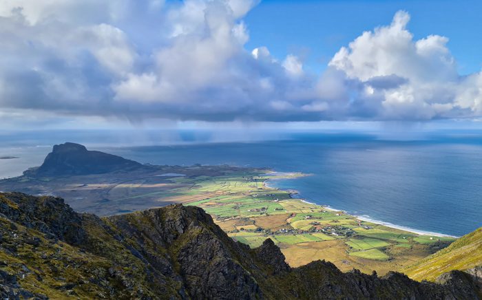
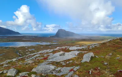
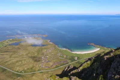
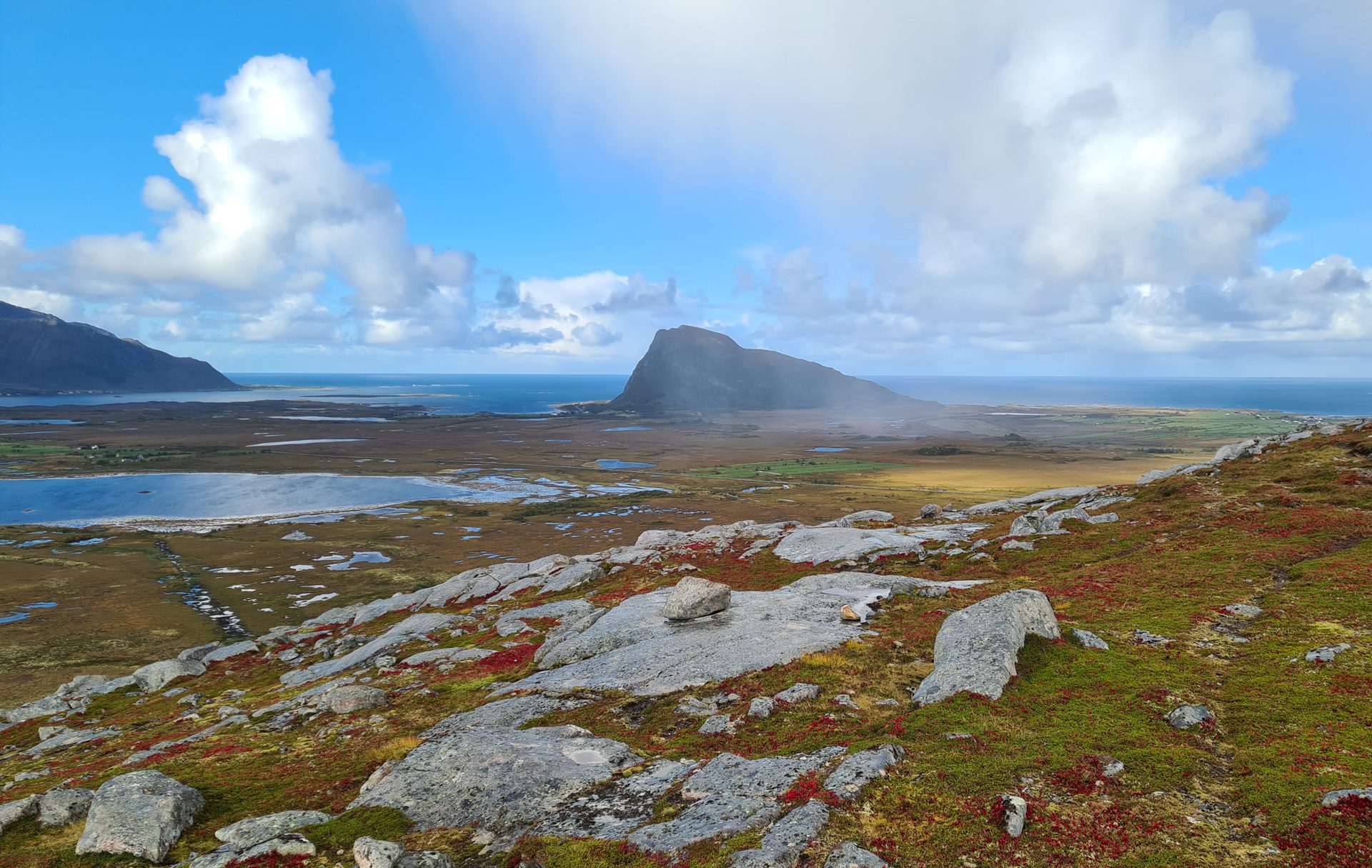
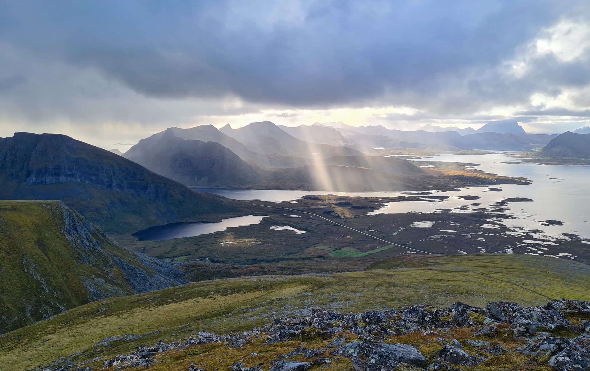
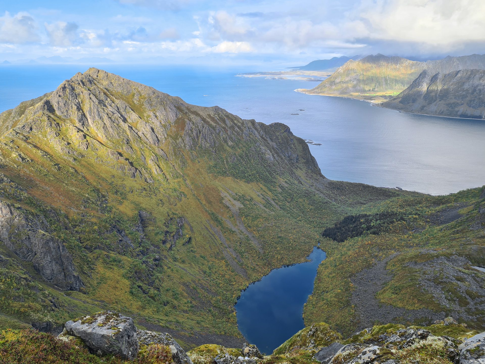
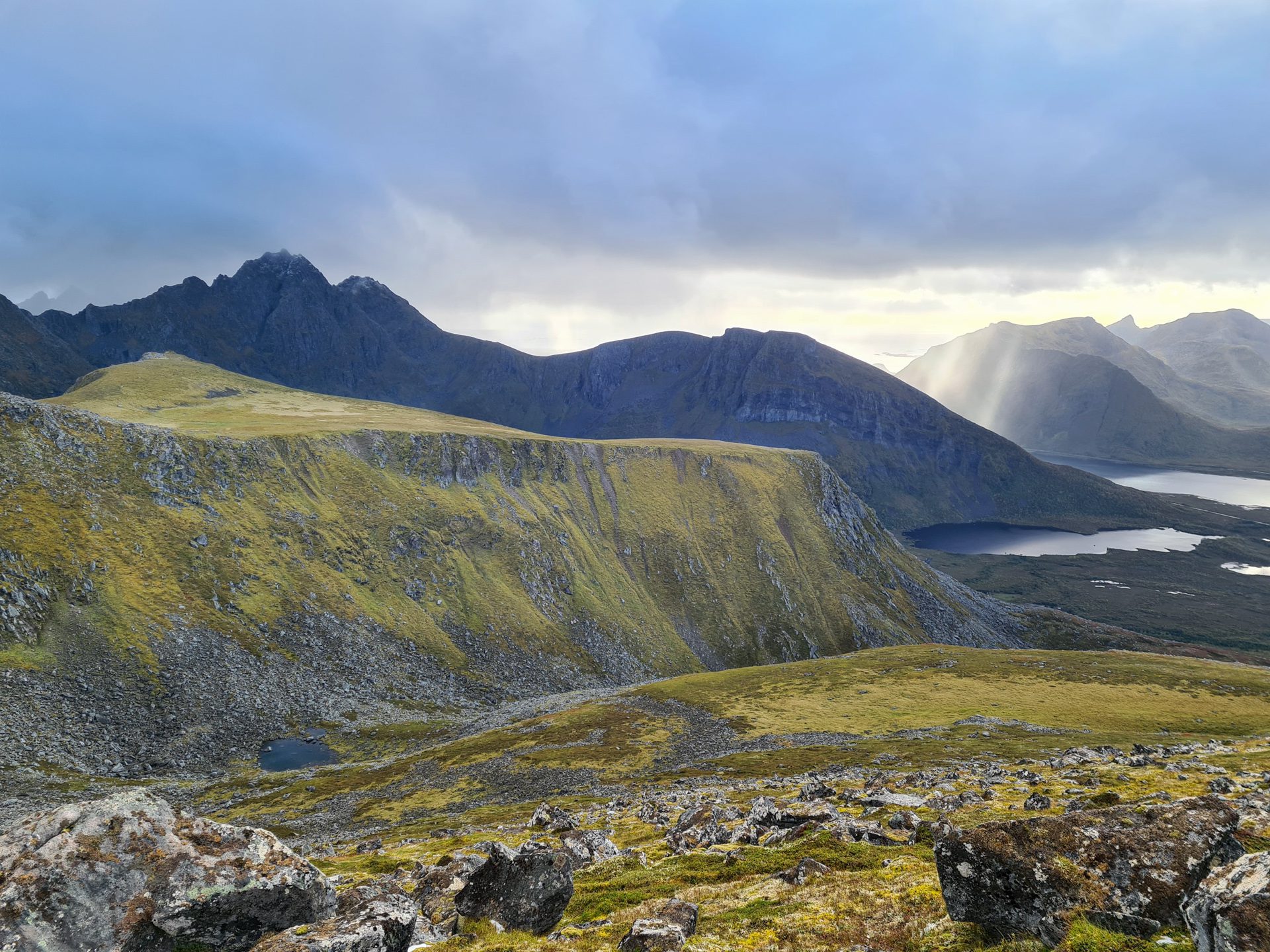
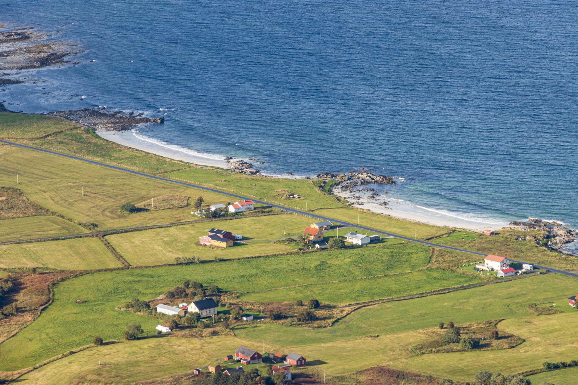
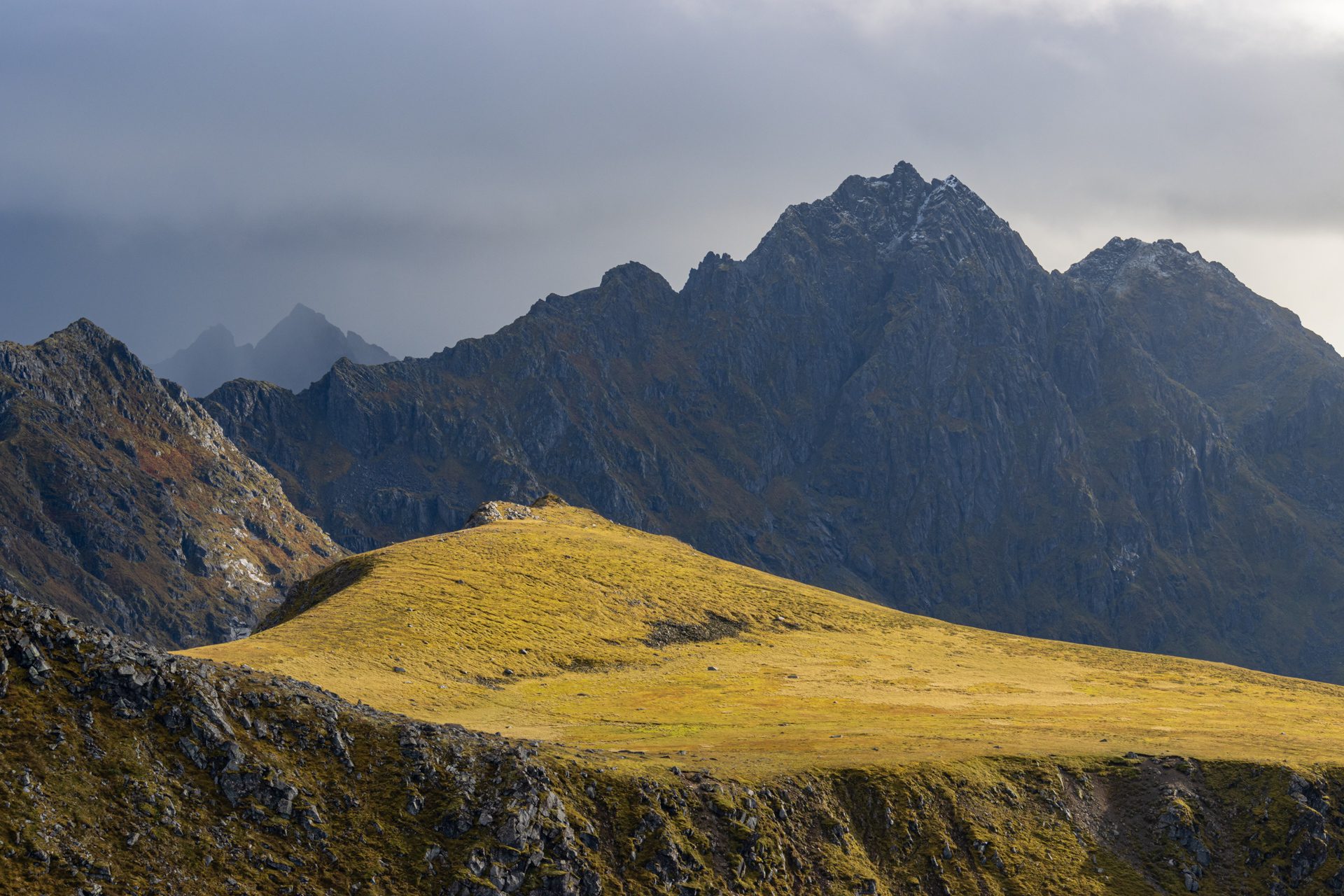
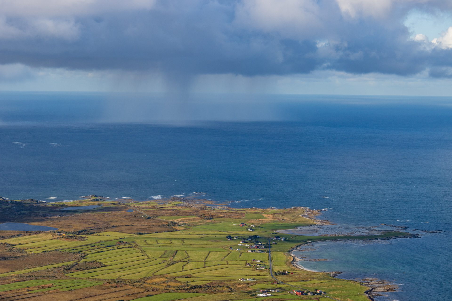
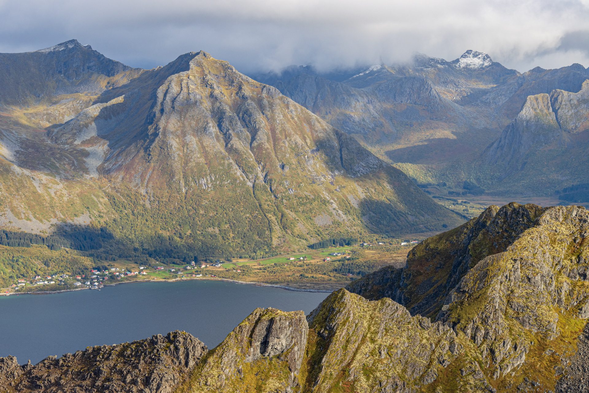
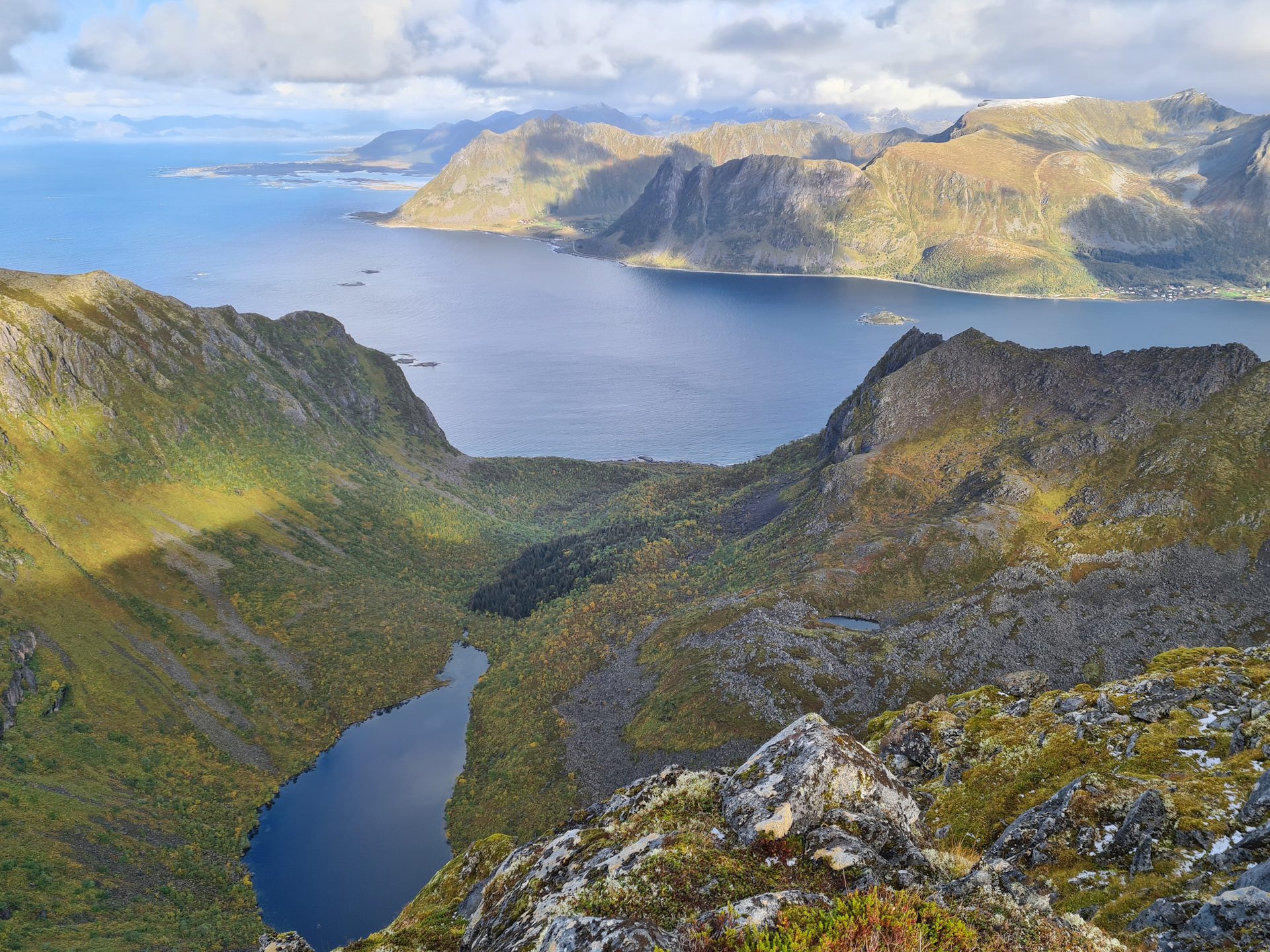
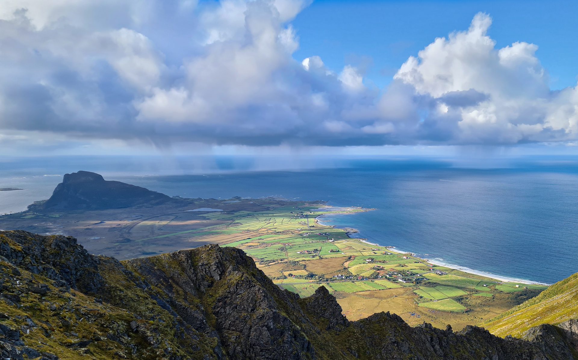
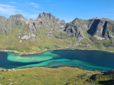
The hike up Storknubben takes you to the heart of the unique mountain range on the small island of Gimsøya in the Lofoten archipelago. This rarely used trail offers 360° panoramic views of the entire island, its marshy plateaus, rugged mountains, and the sea stretching as far as the eye can see.
Popular with local hikers but little known to tourists, this hike is a true haven of tranquility in a pristine setting.
Map and elevation profile of the hike
Storknubben Hike
Difficulties of the hike
Despite being little used, the well-maintained trail remains visible and easy to follow to the summit. The ascent is steady with no technical passages or vertiginous sections. The slopes are moderate, especially compared to Lofoten standards.
What you'll love
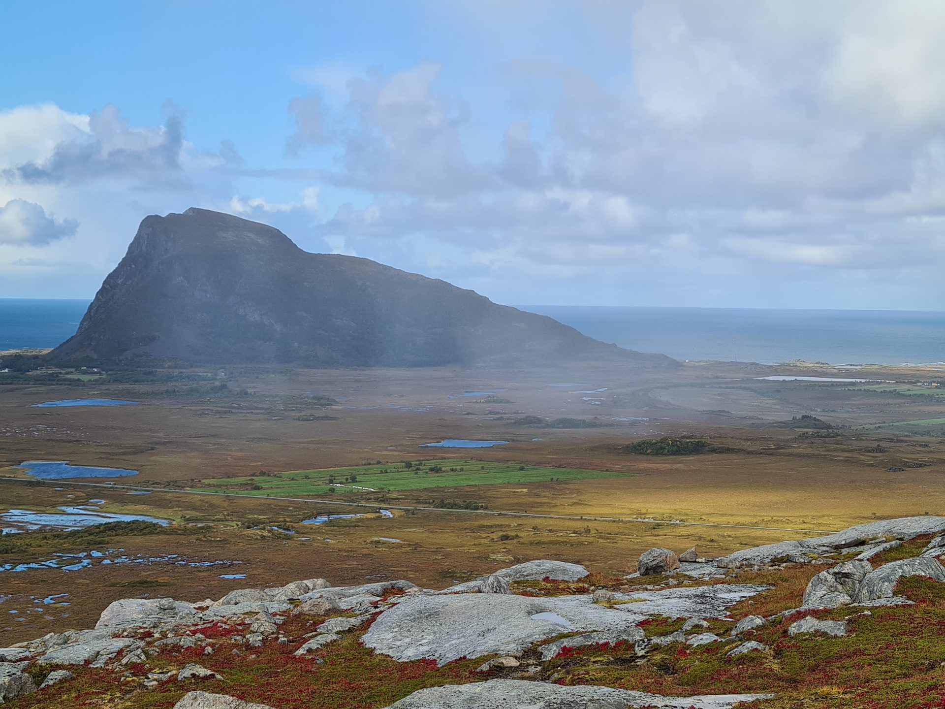
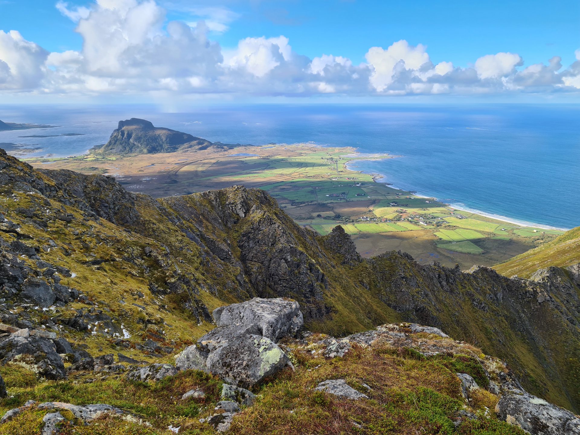
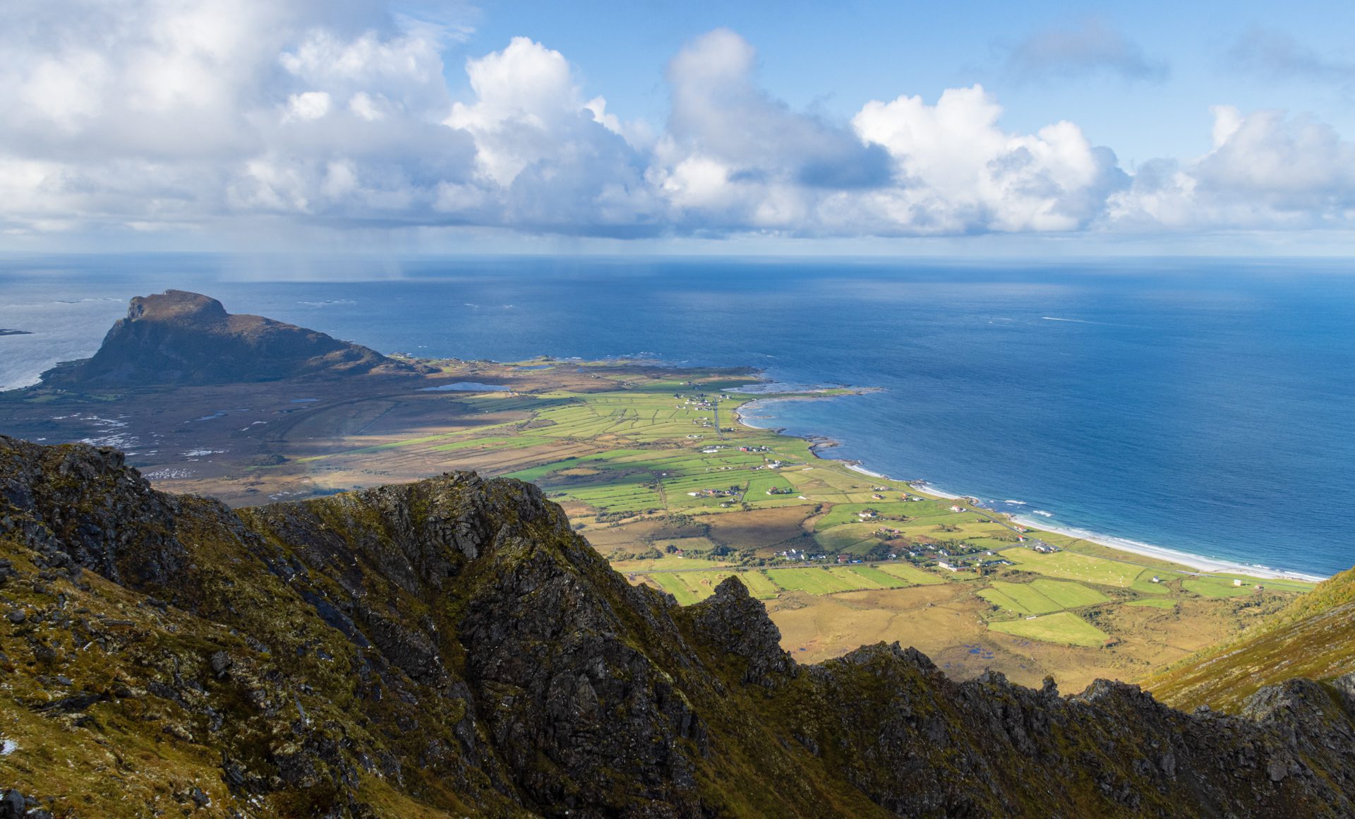
- The breathtaking view from the summit of the small island of Gimsøya and its iconic mountain, Hoven (367 m), as well as the west coast of Austvågøya.
- Guaranteed escape from the crowds: This hike allows you to wander far from the hustle and bustle, ideal for those seeking an intimate experience of the Lofoten Islands.
Practical information
Access and parking
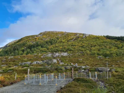
If you are coming from the southern part of Gimsøya Island, take the track on your right towards the hamlet of Jenndalen. After about 200 meters, you will find the trailhead and a few parking spaces at the crossroads.
Best time to go
June to September on average. See the Norway FAQ for more details.
Photos
See all 14 photos →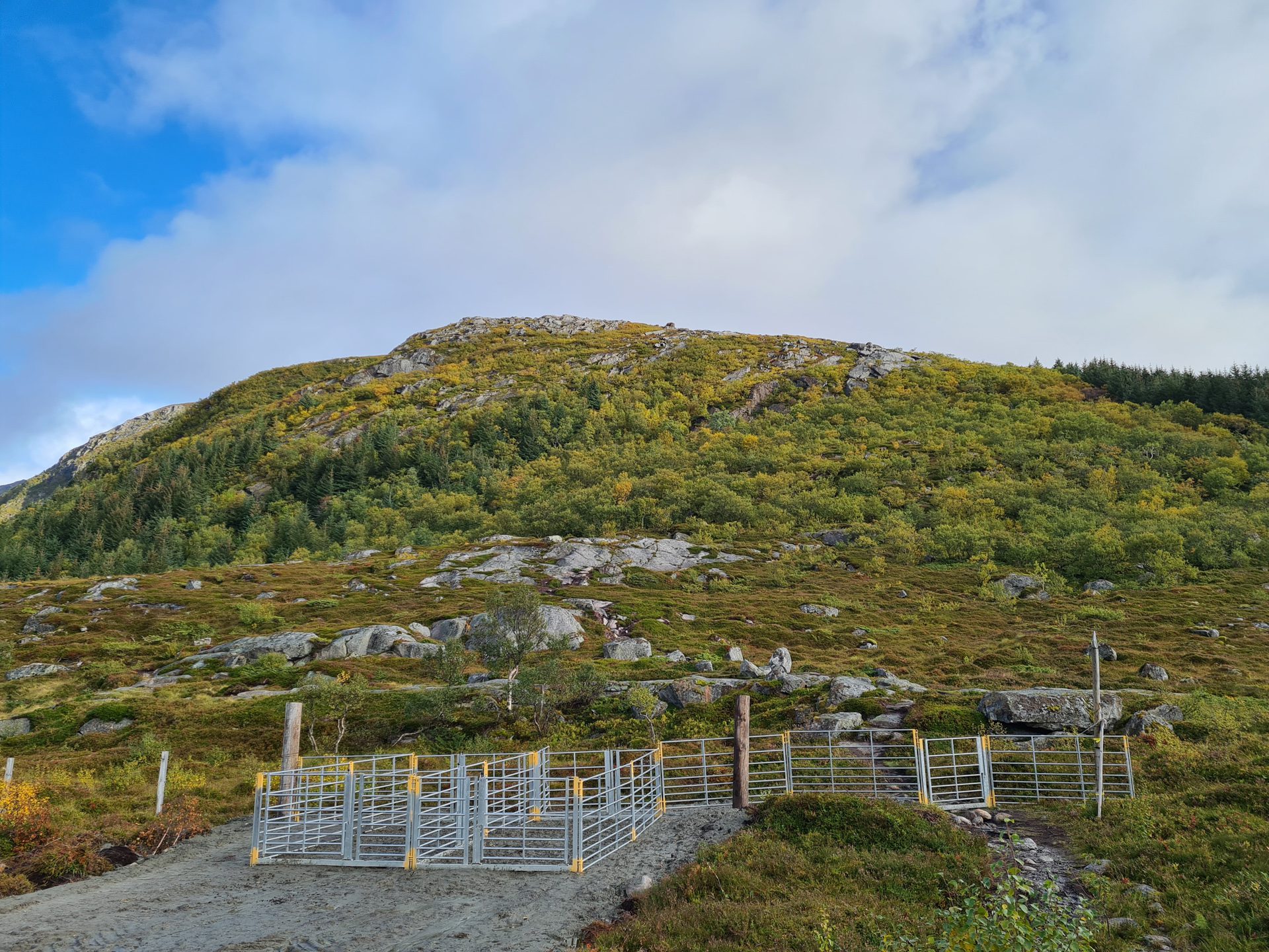
More hikes to do in Norway
Nearby hikes















Printed from www.horizonrando.fr/en/norway/storknubben/