







Festvågtinden Hike
Key facts about the hike
- Difficulty
- Moderate Hikes are rated from very easy to very hard: my difficulty scale
- Duration
- 3h Estimated time, short breaks included (photos, water, snacks), picnic not included: how it is calculated
- Distance
- 3.3km
- out and back
- Elevation gain
- 530m
- Type of route
- Out and back
- Maximum altitude
- 541 m
- Vertiginous Five levels, depending on how exposed the route is: the levels in detail
- Slightly
- Marked
- No
- Popularity
- High
- Island
- Austvågøya, Lofoten
- Start point
- 68.17105, 14.21396
- Activity
- Hiking
Hike overview
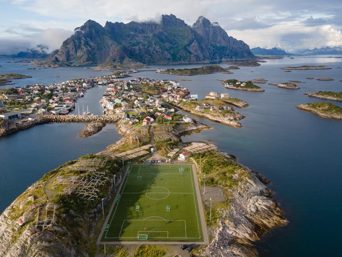
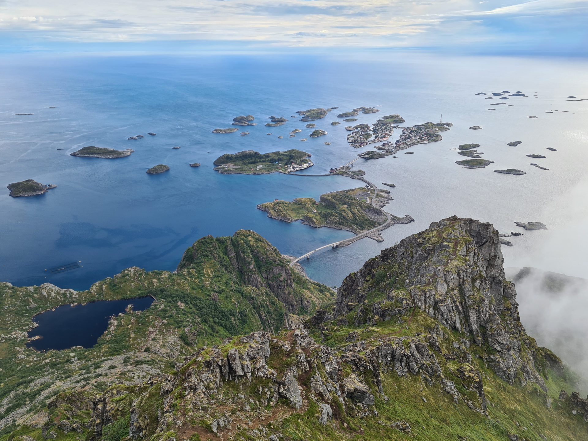
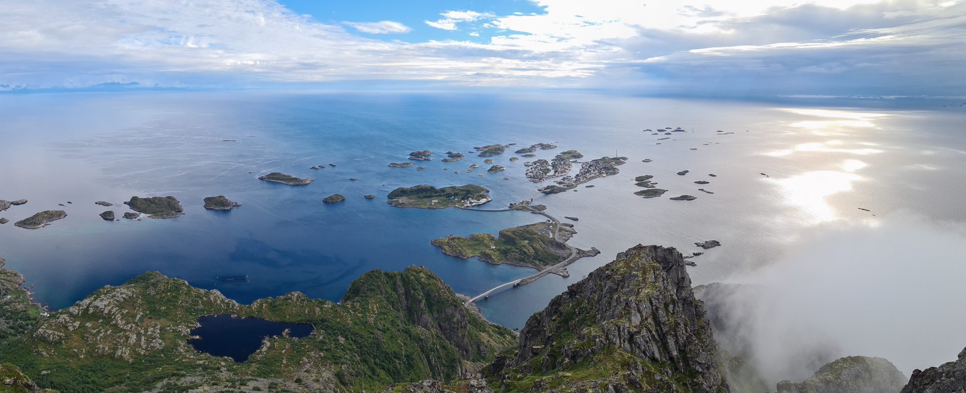
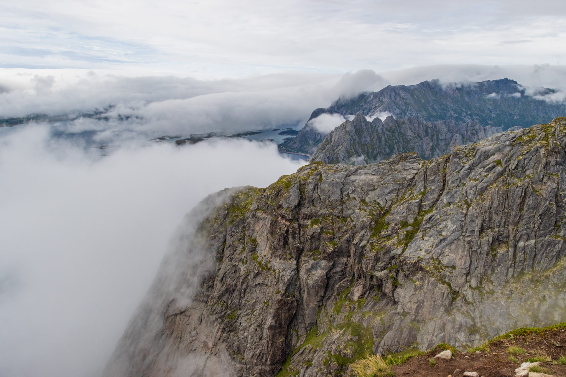
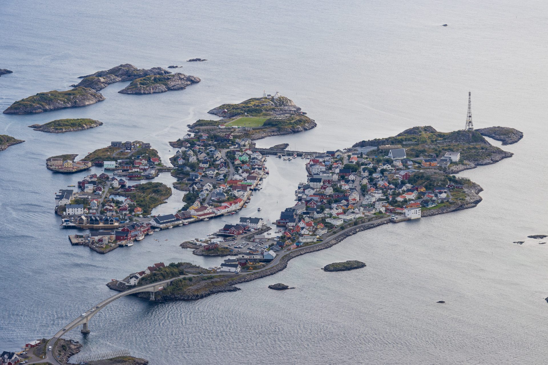
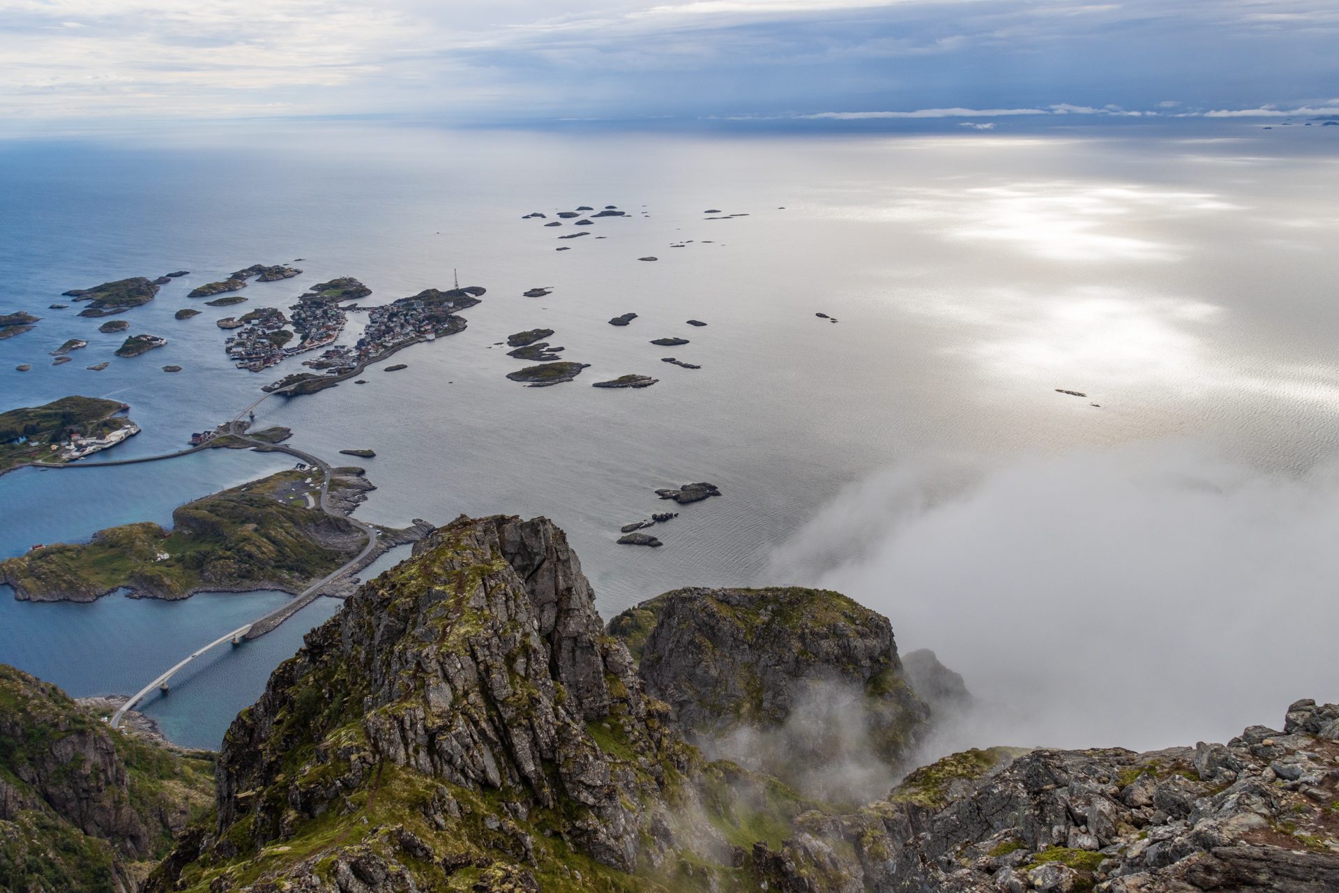
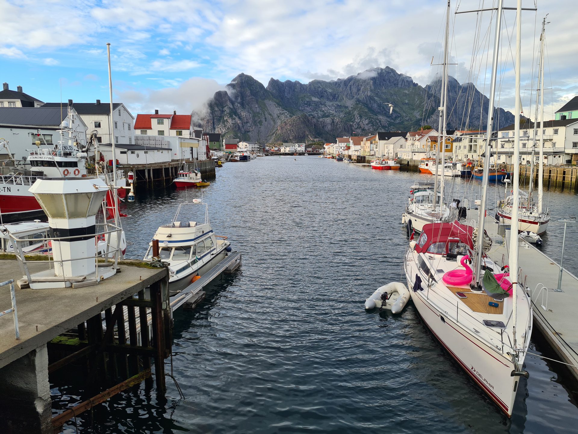
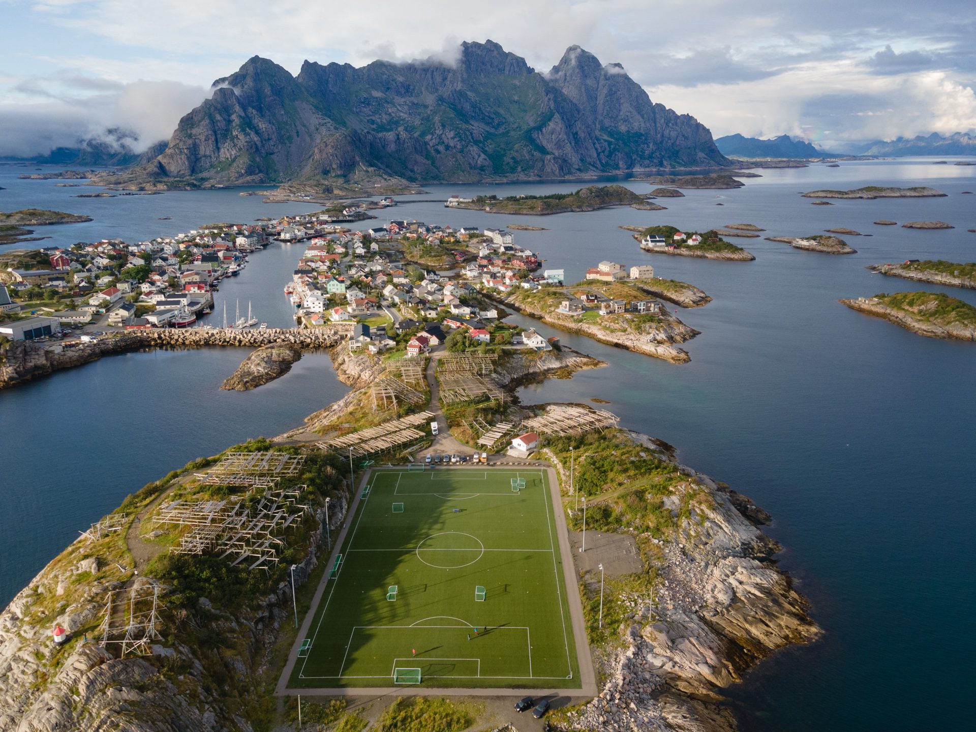
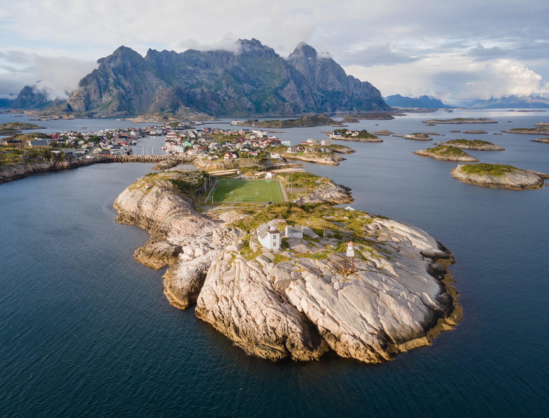
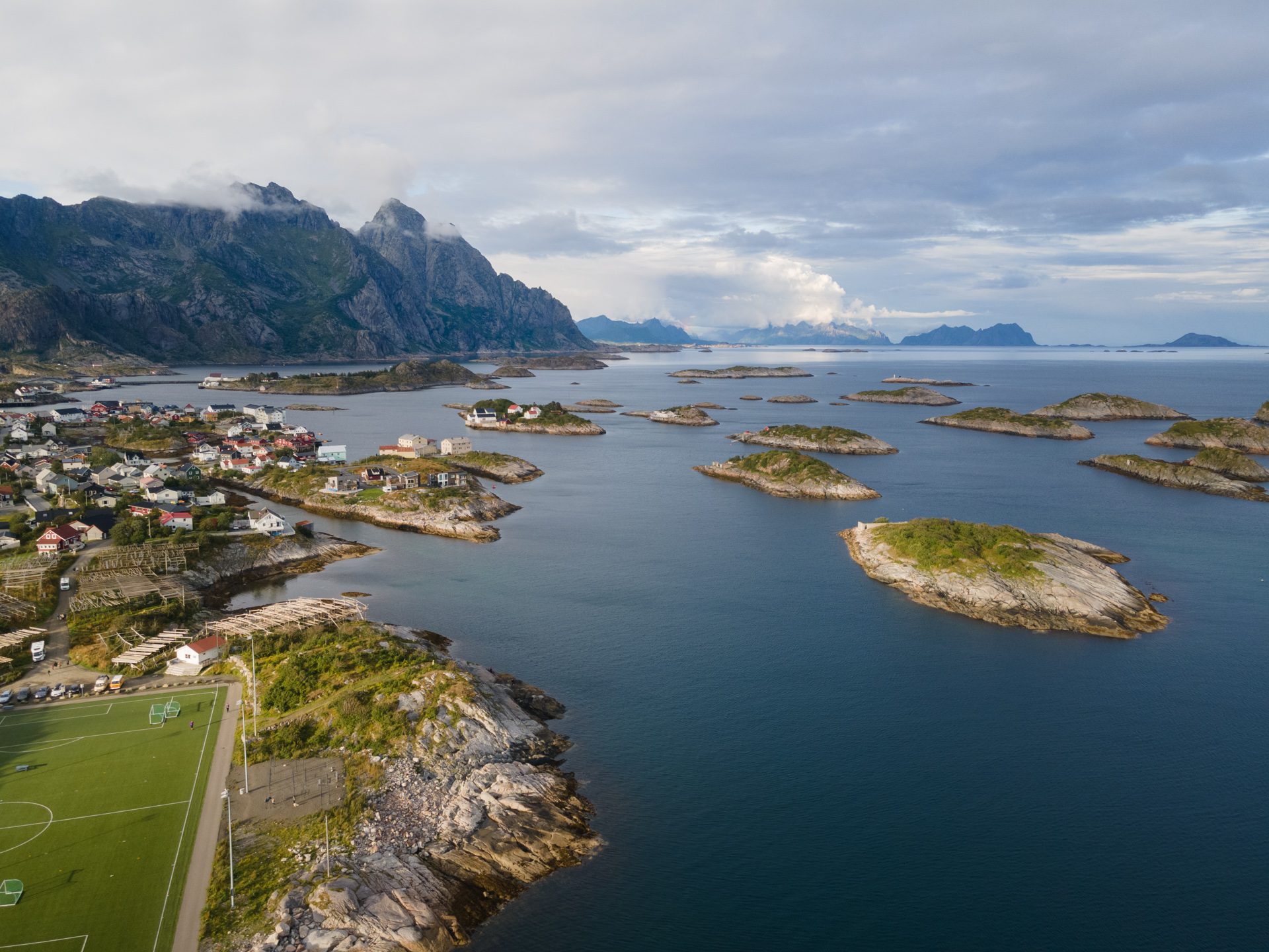
The hike up Festvågtinden offers one of the most spectacular panoramic views in the Lofoten Islands, with breathtaking vistas of the picturesque fishing village of Henningsvær and its surrounding islets. This 541-meter peak seems to rise directly from the sea and overlooks one of the most beautiful sites in the archipelago. On a clear day, you can also enjoy views of the Vestfjord and the Norwegian mainland.
Map and elevation profile of the hike
Festvågtinden Hike
Difficulties of the hike
The trail is quite steep, but does not present any technical difficulties. It is also well defined thanks to the numerous passages.
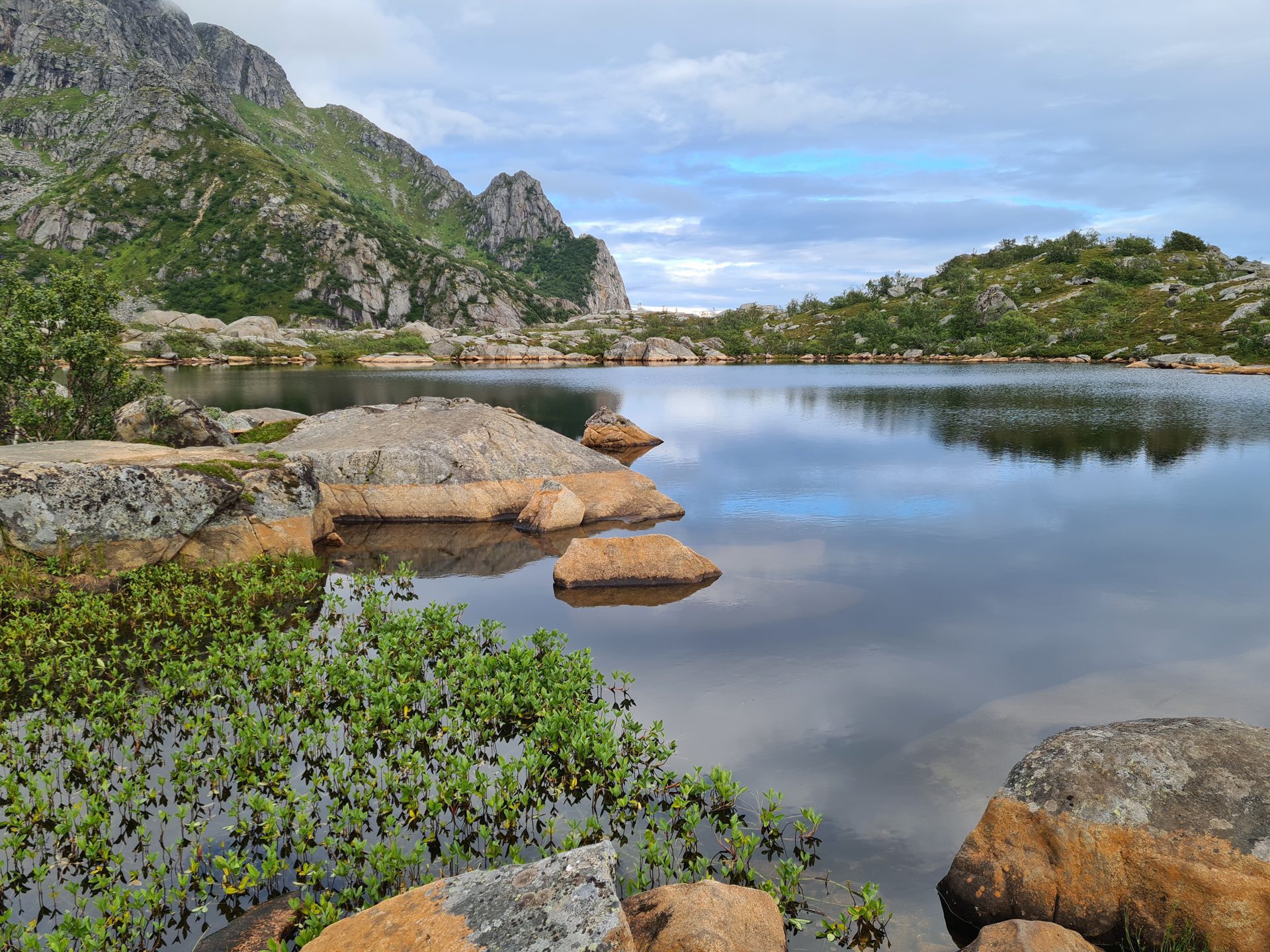
After passing through some ruins, the climb quickly becomes steep, as is often the case in the Lofoten Islands. The charming Lake Heiavatnet comes into view after about half an hour's walk, at an altitude of 190 meters. The hike then continues northwest to the summit of Festvågtinden without any major difficulties other than the steep slope. This route should be avoided on rainy days, as the trail becomes muddy and the rocks become slippery.
What you'll love
- The breathtaking panorama of the fishing village of Henningsvær and its islets, one of the most iconic views in Lofoten.
- The charming Lake Heiavatnet halfway along the route (190 m), offering a magnificent viewpoint and a refreshing break in summer.
Practical information
Parking
Free parking is available along Route 816, a few hundred meters from the Henningsvær entrance. Due to the site's popularity, it is recommended that you arrive early to find a spot.
Access to the trailhead
Follow the road towards the village (to the east) for about 300 meters. The start of the trail is on your left.
Best time to go
Mid-May to mid-October on average. See the Norway FAQ for more details.
Photos
See all 11 photos →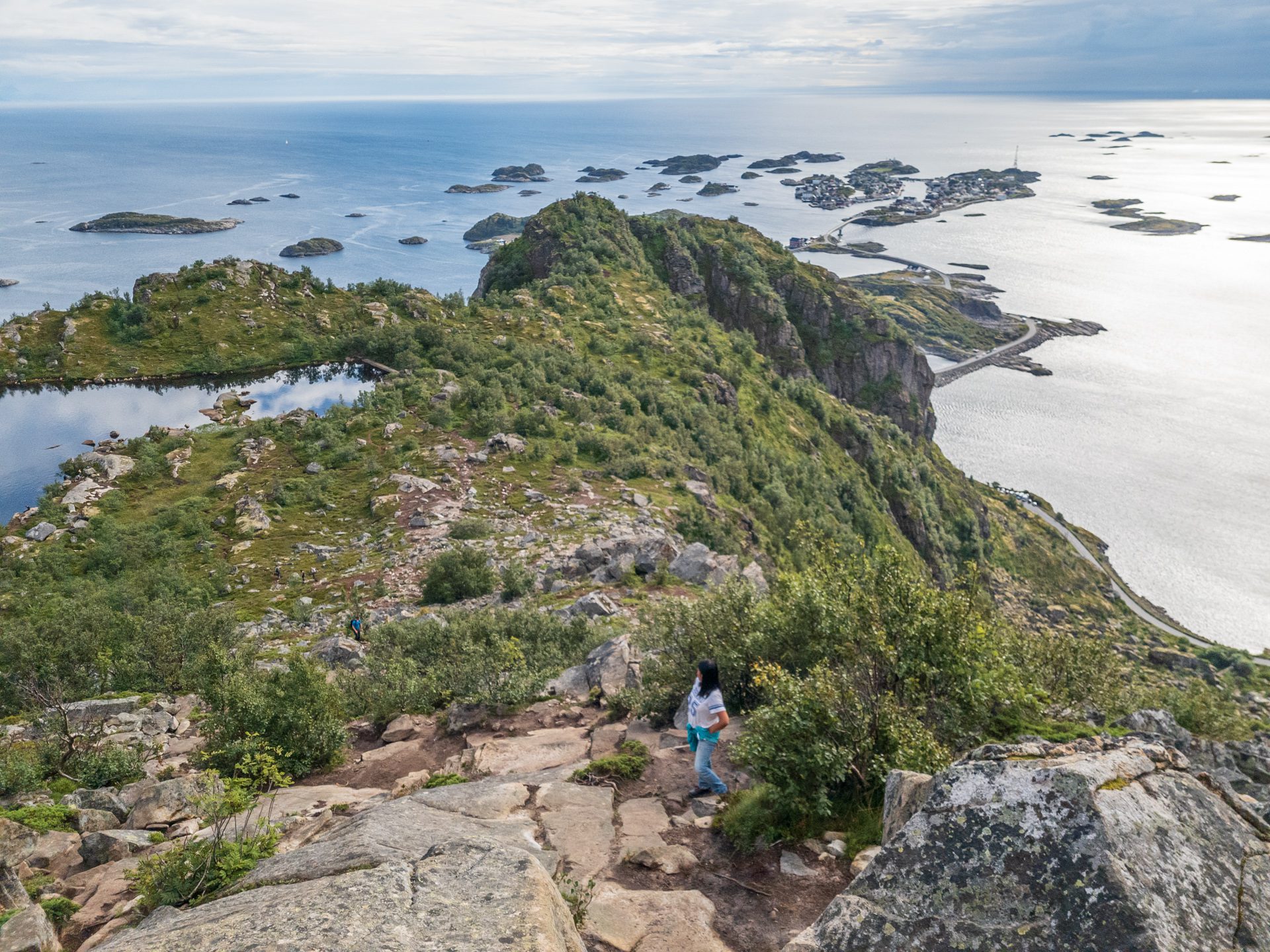
More hikes to do in Norway
Nearby hikes




























Printed from www.horizonrando.fr/en/norway/festvagtinden/