





Guratinden Hike
Key facts about the hike
- Difficulty
- Moderate Hikes are rated from very easy to very hard: my difficulty scale
- Duration
- 4h Estimated time, short breaks included (photos, water, snacks), picnic not included: how it is calculated
- Distance
- 9.4km
- out and back
- Elevation gain
- 690m
- Type of route
- Out and back
- Maximum altitude
- 581 m
- Vertiginous Five levels, depending on how exposed the route is: the levels in detail
- No
- Marked
- No
- Popularity
- Low
- Island
- Vestvågøya, Lofoten
- Start point
- 68.12352, 13.64515
- Activity
- Hiking
Hike overview
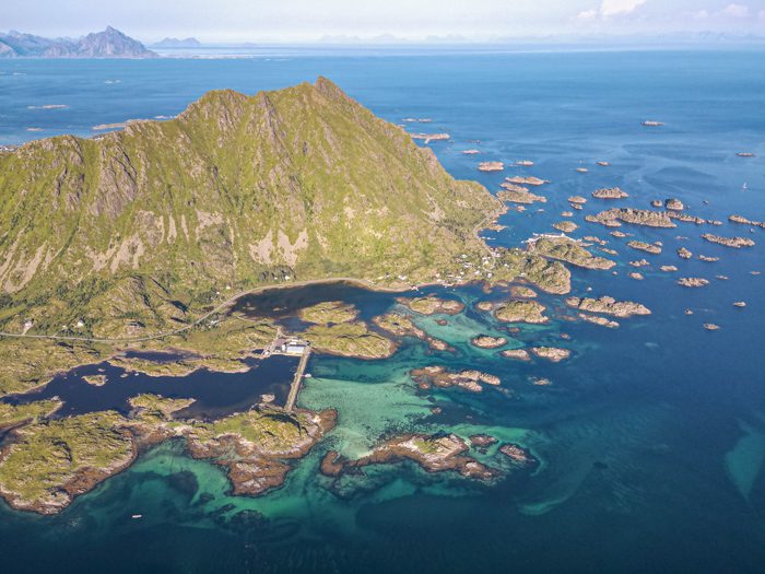
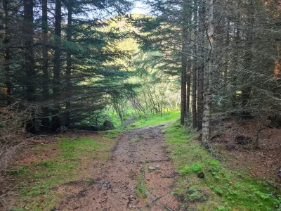
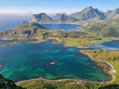
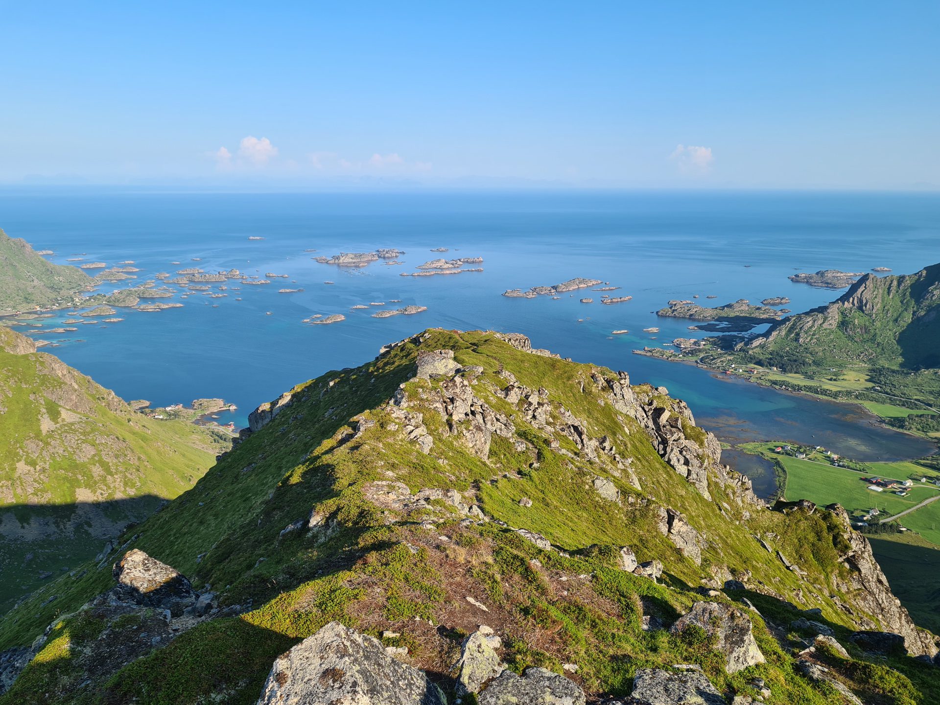
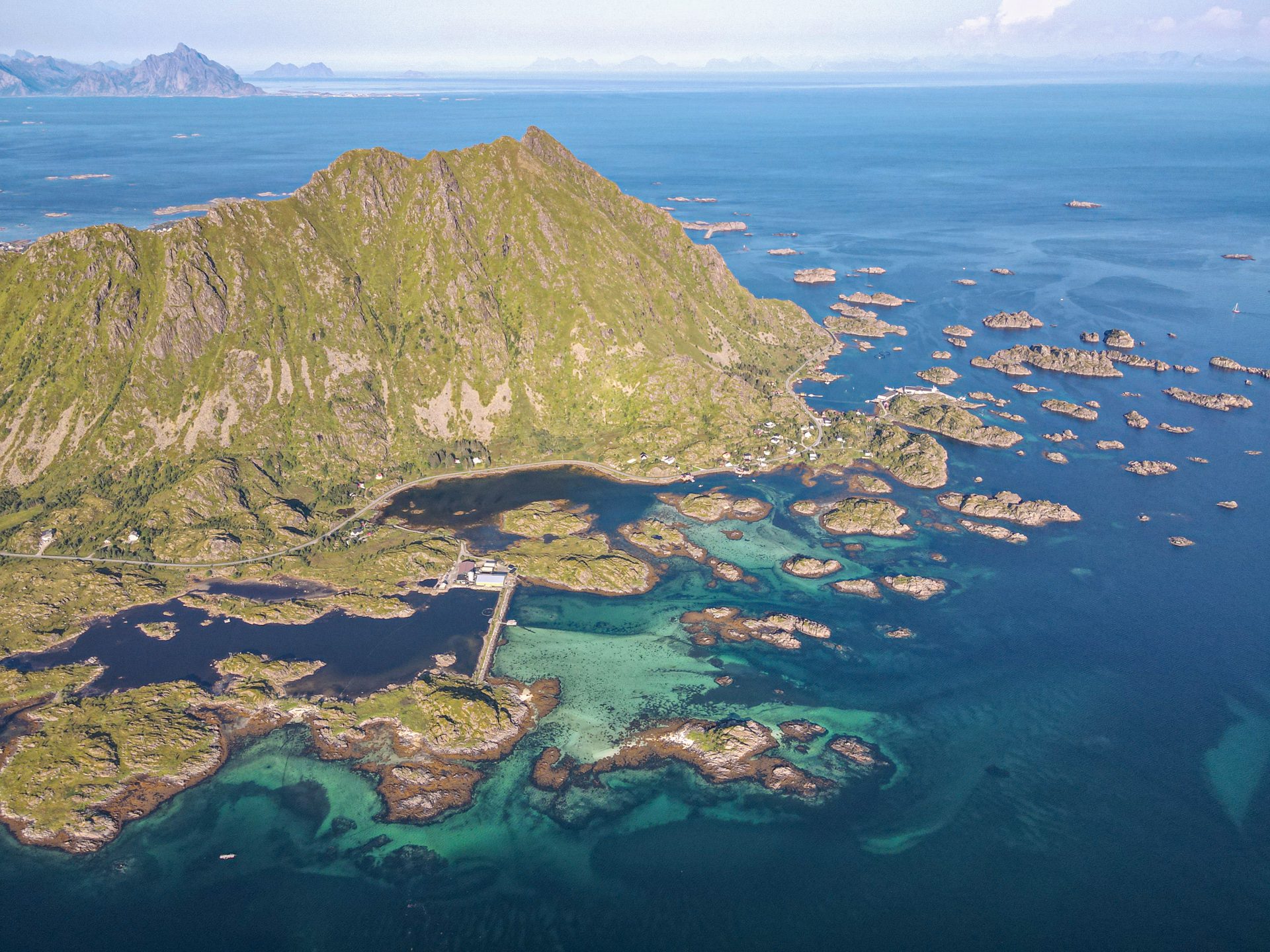
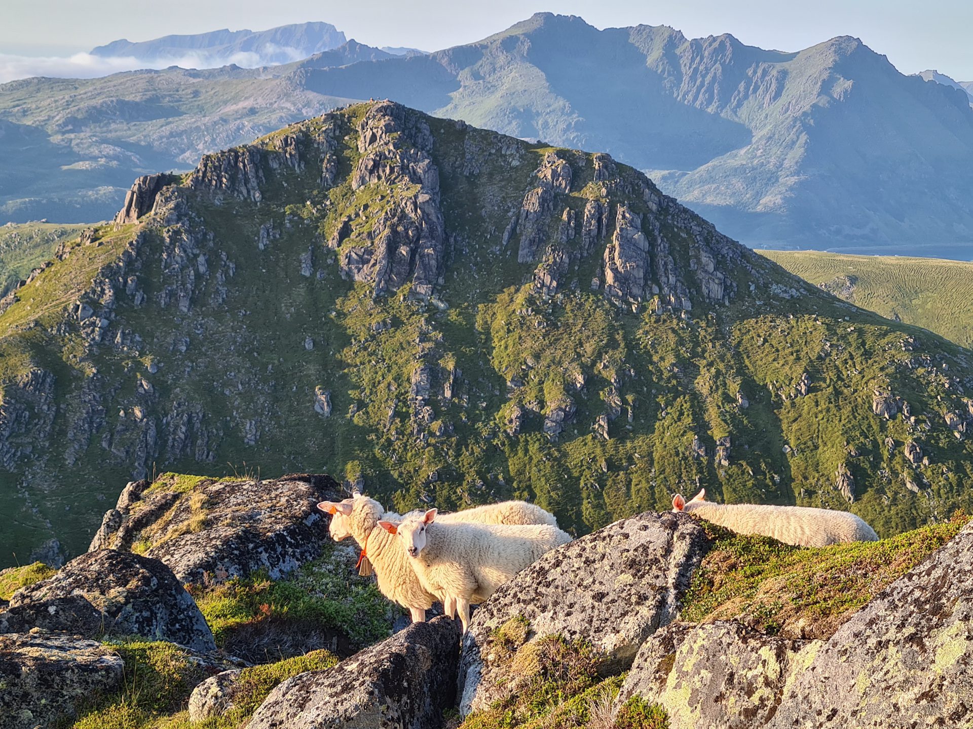
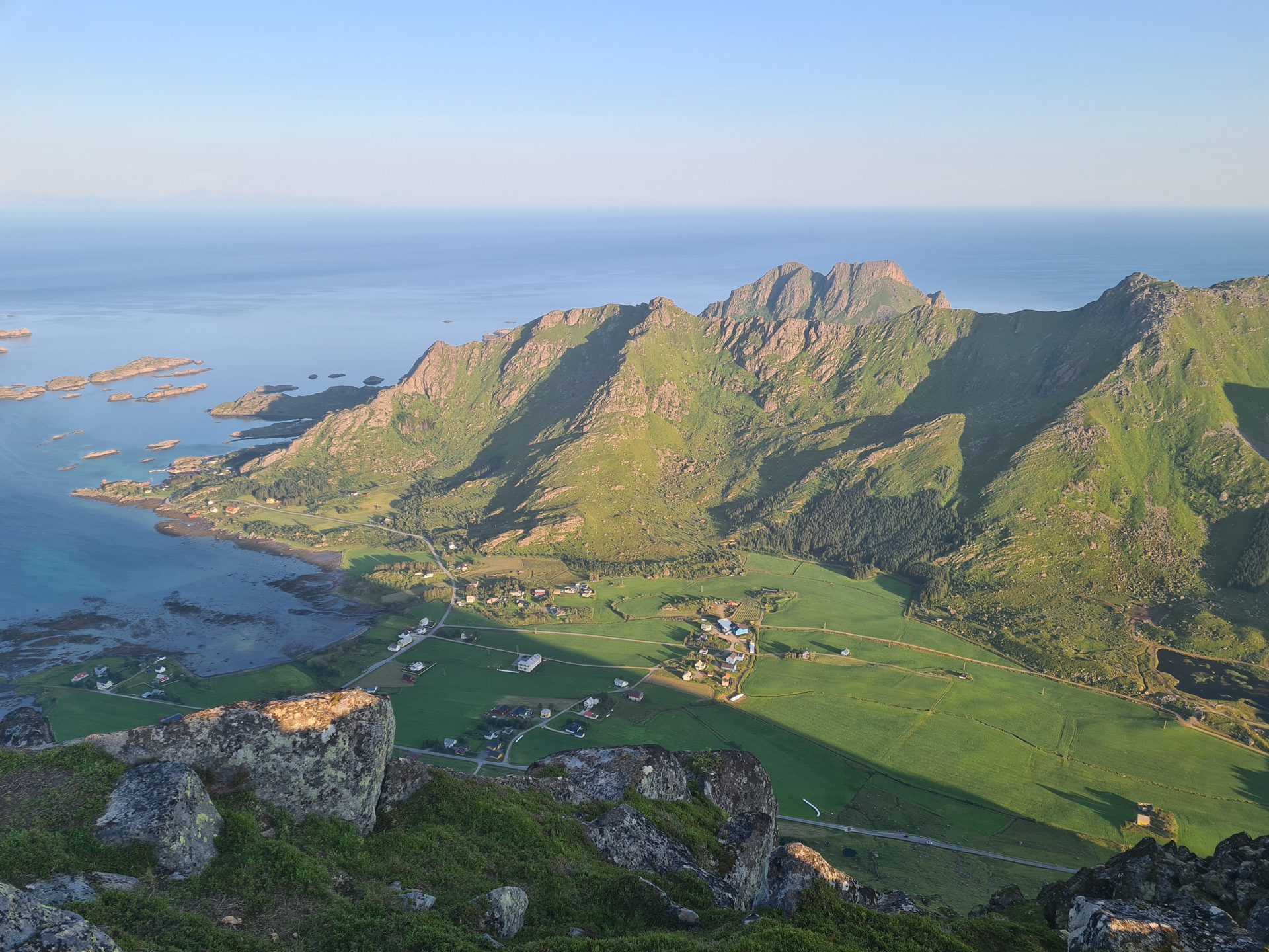
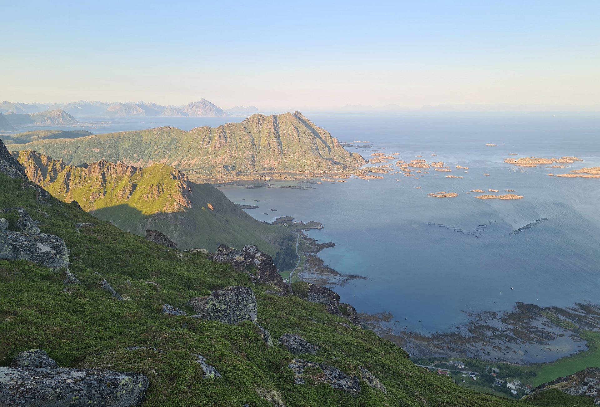
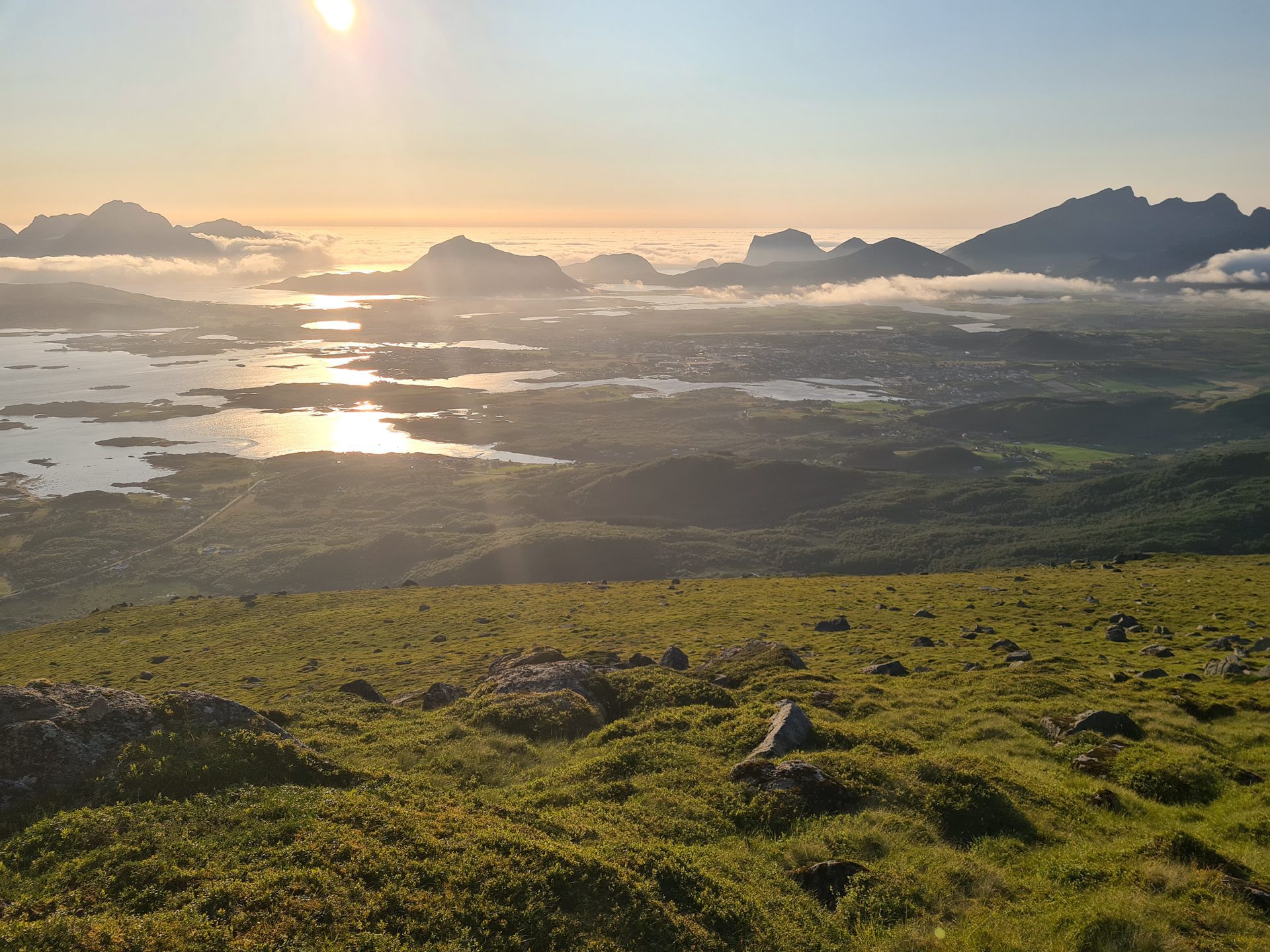
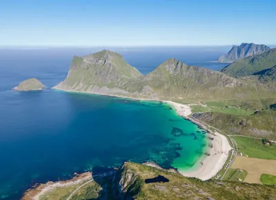
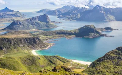
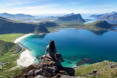
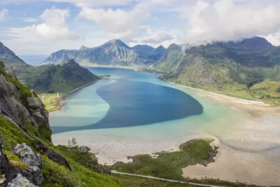
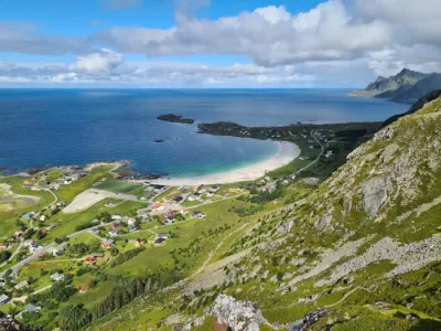
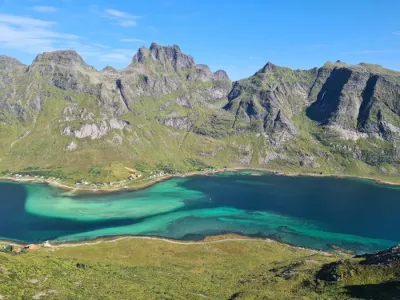
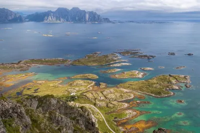
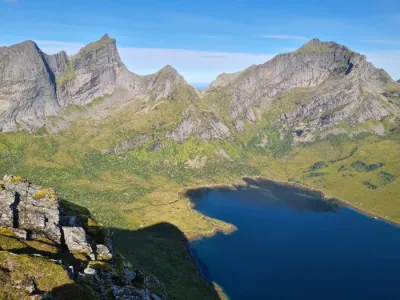
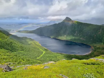
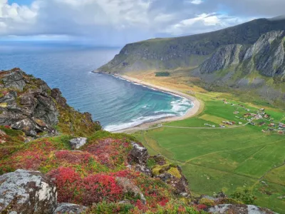
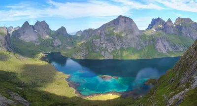
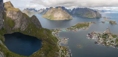
The Guratinden hike takes you to two peaks, which rise to 581 and 566 meters, respectively, offering spectacular views of the southwest coast of Vestvågøya Island. This ascent passes through one of the island's few forests before reaching the open landscapes typical of the Lofoten archipelago. Despite its easy access and lack of major difficulties, this hike remains uncrowded, ensuring an authentic experience in the heart of Norwegian nature.
Map and elevation profile of the hike
Guratinden Hike
Difficulties of the hike
The trail is well-maintained despite the low number of visitors, and there are no major difficulties.
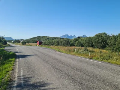
The only difficult part is finding the start, as it is located in the middle of nowhere and has no signposts. It is located about 4.5 kilometers from Leknes, near a bus stop along Route 815 towards Mortsund, and starts about 20 meters south of the bus stop. Once you find the trailhead, the trail is easy to follow.
What you'll love
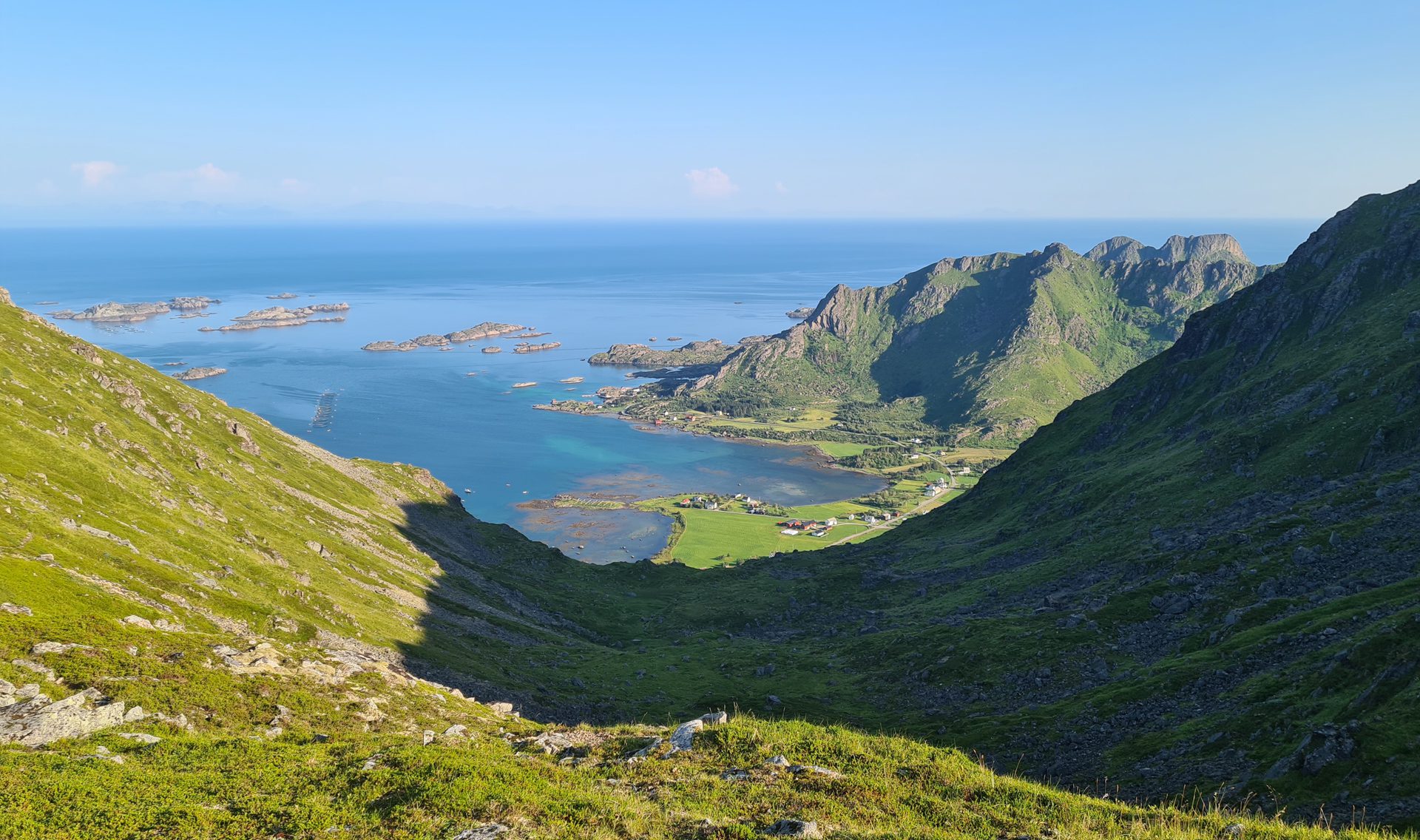
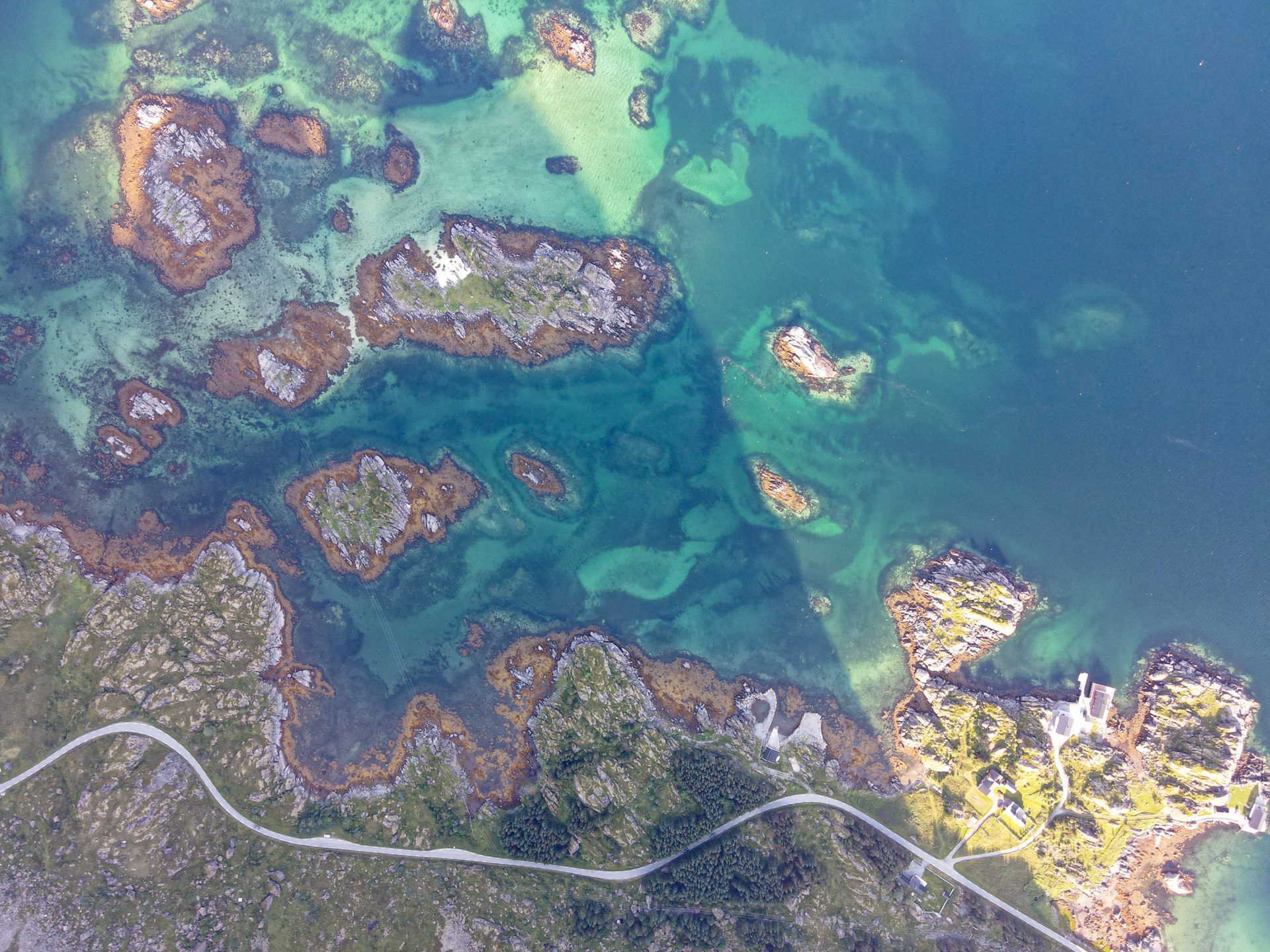
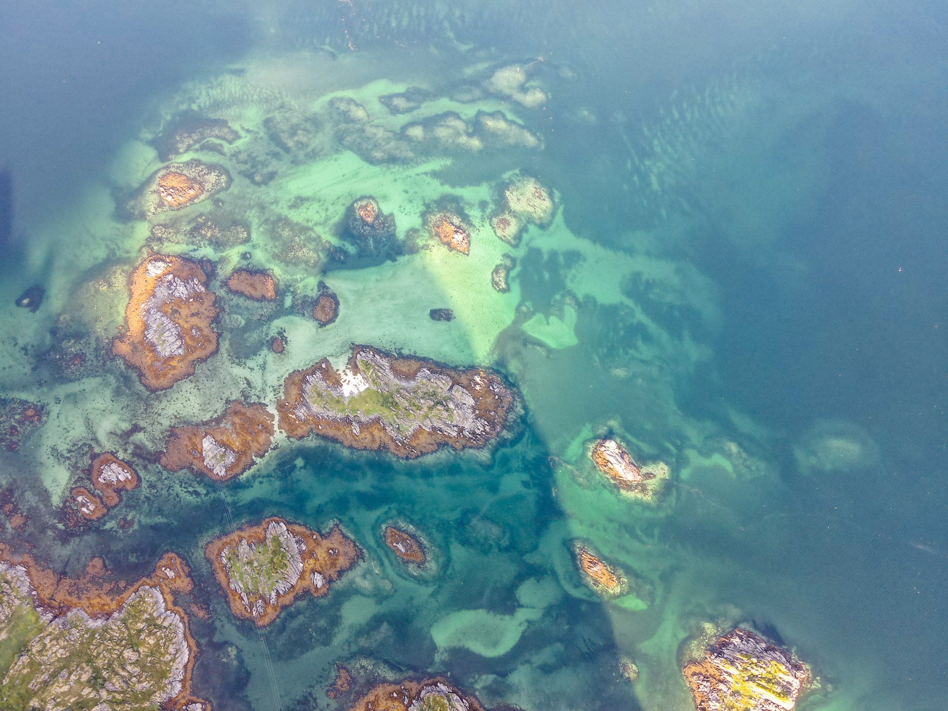
- Spectacular views from both peaks with breathtaking vistas of the southern coast of Vestvågøya and its islets.
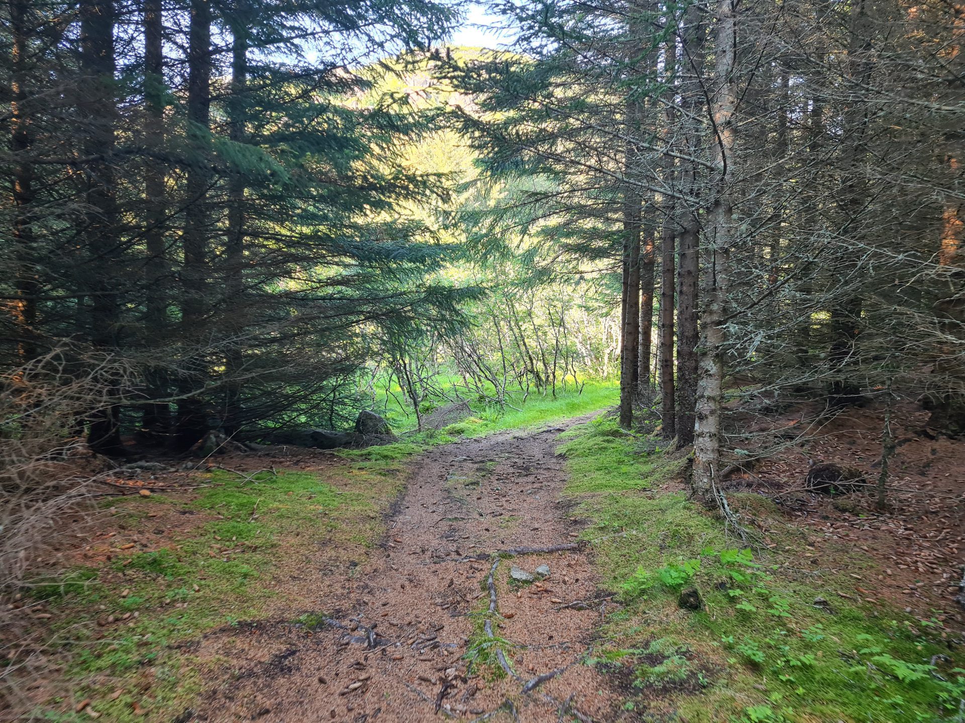
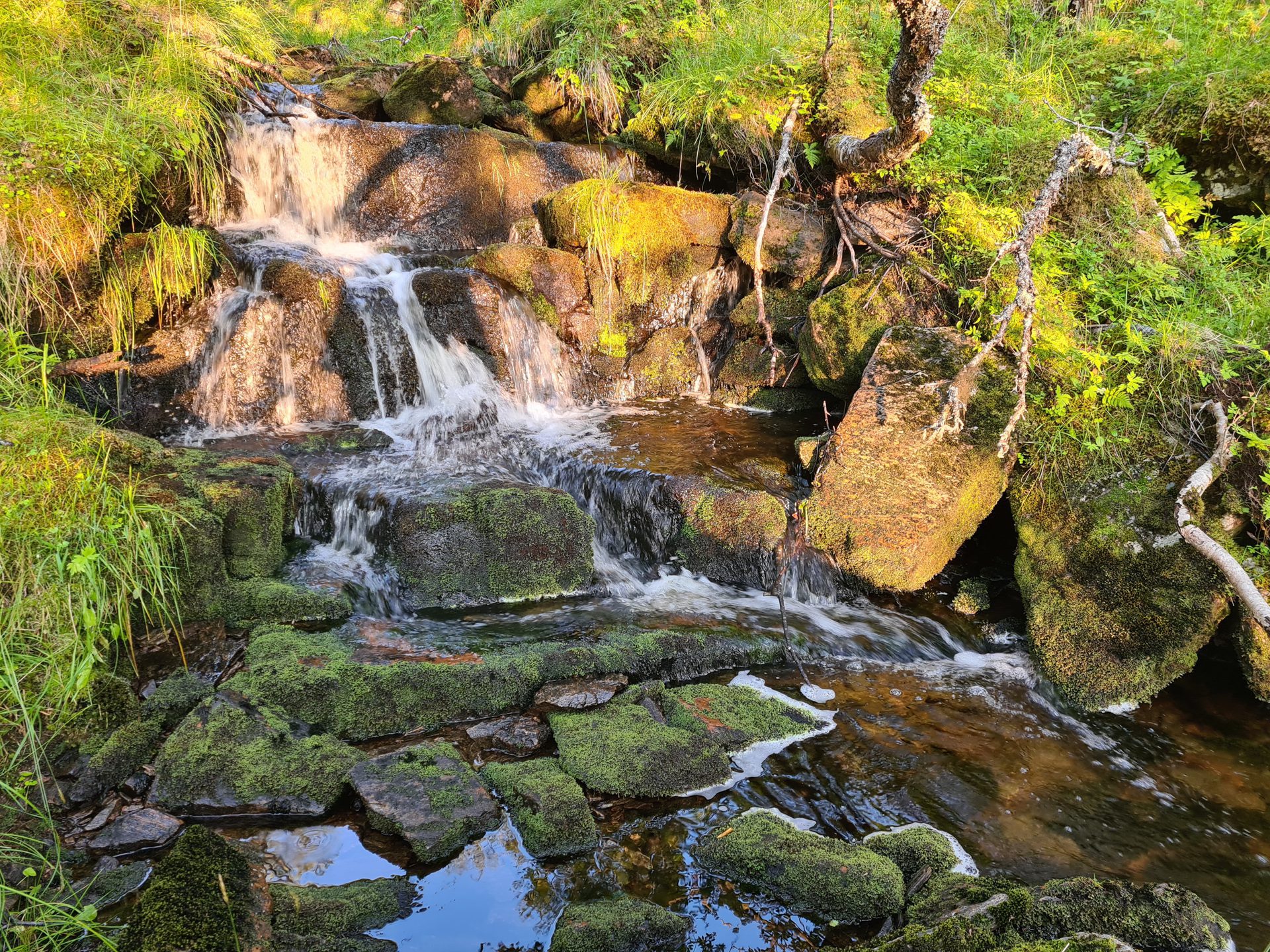
- Crossing one of the archipelago's few forests with pleasant undergrowth and a few waterfalls.
- The peaceful, unspoiled atmosphere far from the crowds of popular Lofoten hikes.
Practical information
Access
There is no parking in the immediate vicinity, but you will find a small parking area about 400 meters south of the starting point.
Best time to go
Mid-May to mid-October on average. See the Norway FAQ for more details.
Photos
See all 12 photos →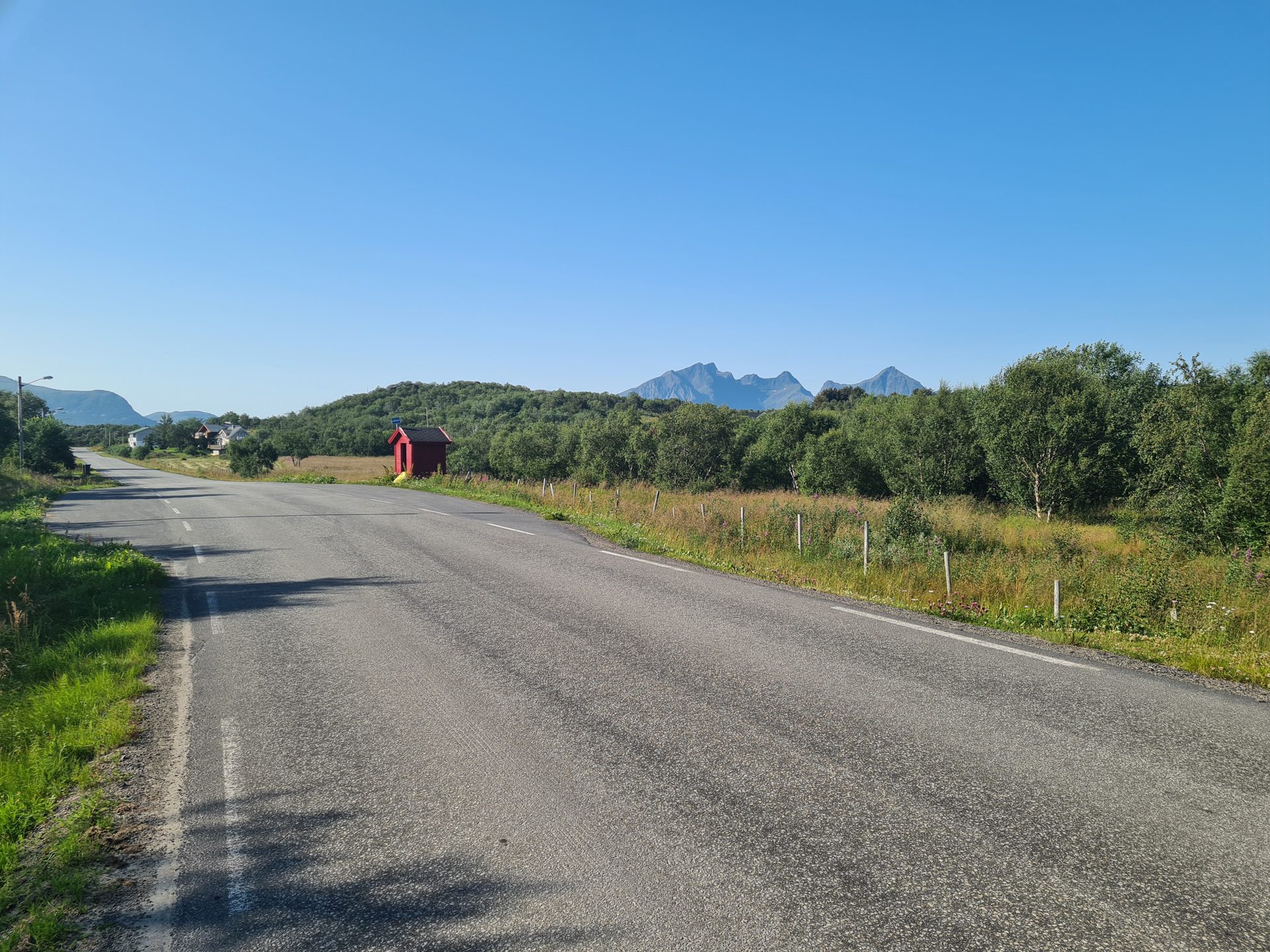
More hikes to do in Norway
Nearby hikes













Printed from www.horizonrando.fr/en/norway/guratinden/