





Hoven Hike
Key facts about the hike
- Difficulty
- Easy Hikes are rated from very easy to very hard: my difficulty scale
- Duration
- 2h Estimated time, short breaks included (photos, water, snacks), picnic not included: how it is calculated
- Distance
- 3.8km
- out and back
- Elevation gain
- 360m
- Type of route
- Out and back
- Maximum altitude
- 367 m
- Vertiginous Five levels, depending on how exposed the route is: the levels in detail
- No
- Marked
- No
- Popularity
- Moderate
- Island
- Gimsøya, Lofoten
- Start point
- 68.34004, 14.12508
- Activity
- Hiking
Hike overview
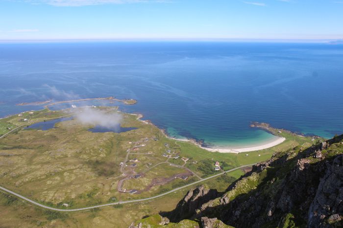
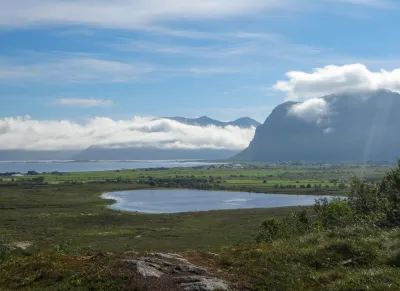
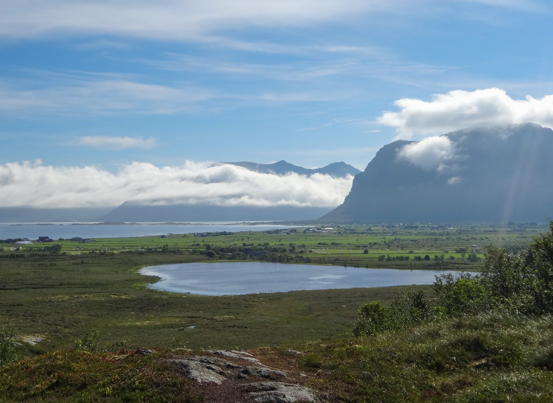
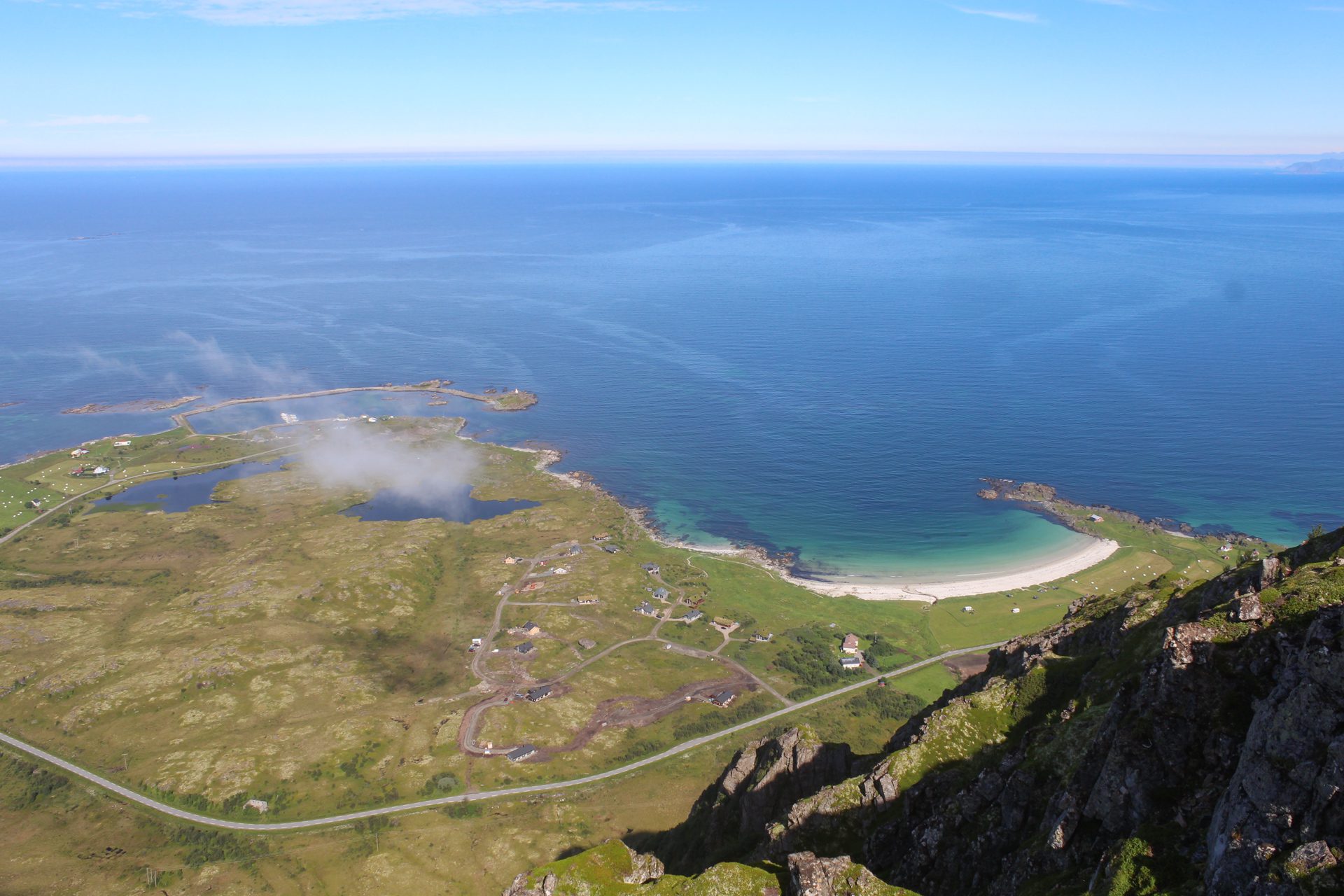
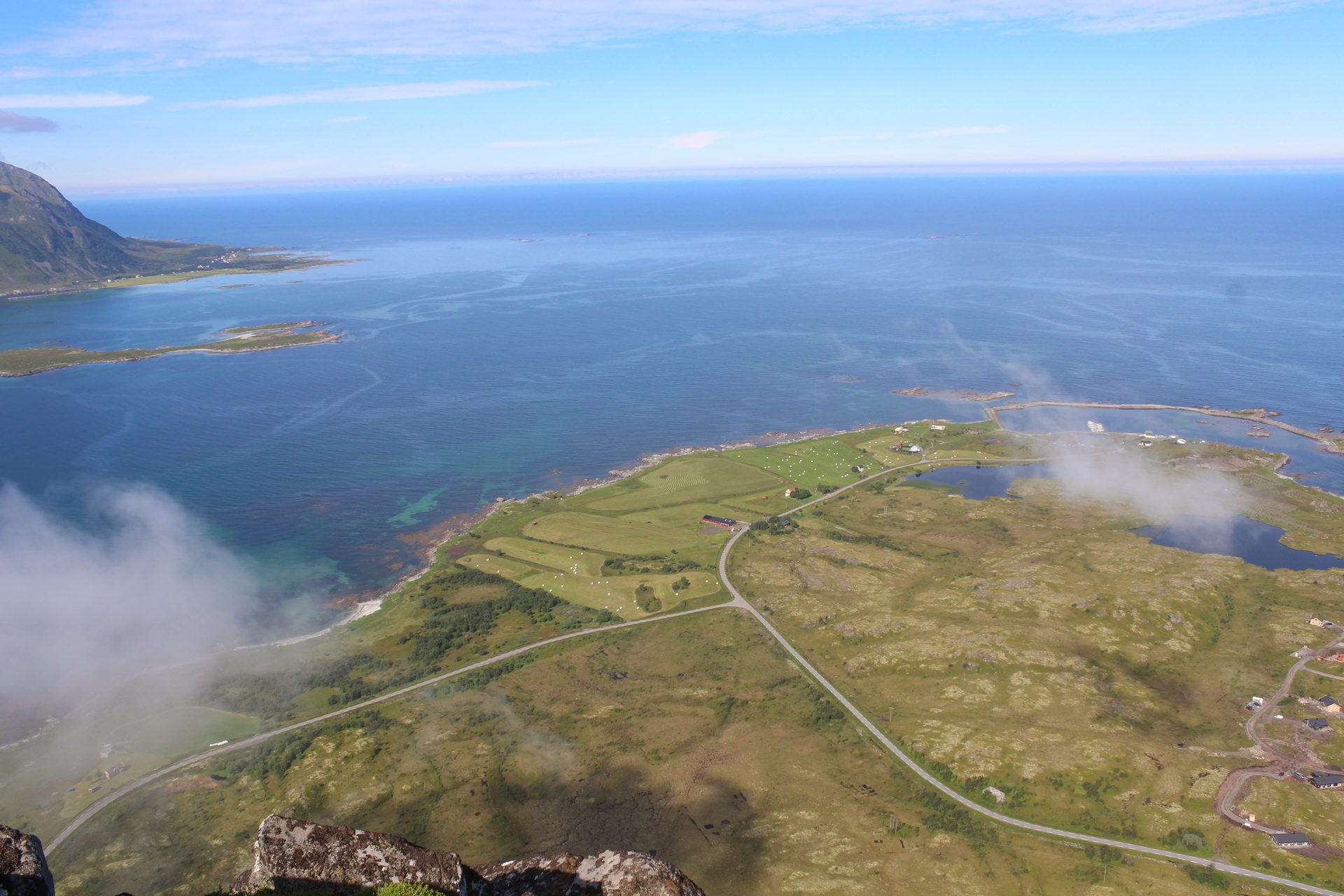
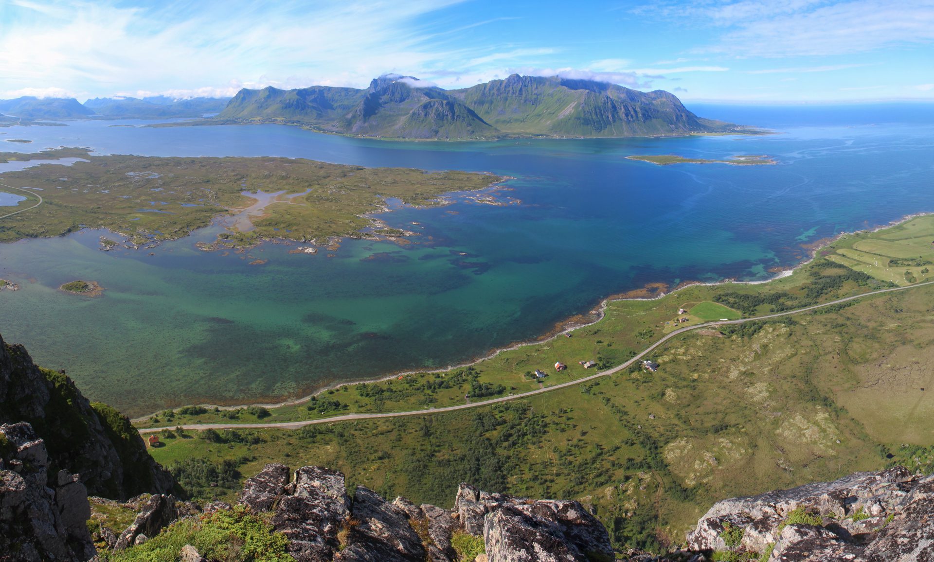
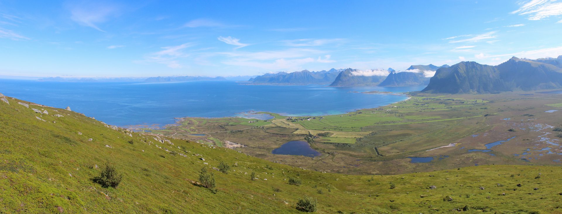
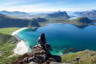
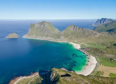
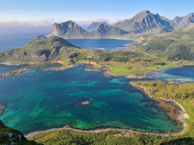
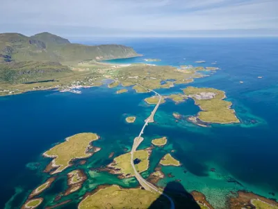
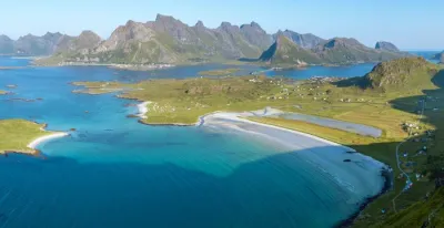
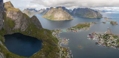
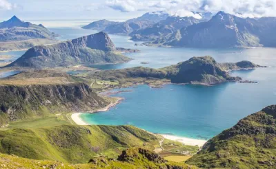
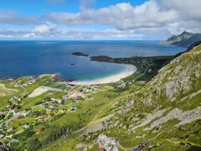
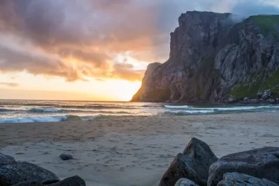
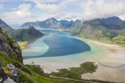
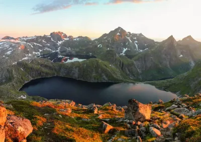
The Hoven hike leads to the iconic summit of Gimsøya Island, a solitary 367-meter mountain that majestically dominates the marshy plains and magnificent white sand beaches of the north of the island. This easy hike is accessible to the whole family and offers impressive 360-degree panoramic views. On a clear day, you can see the Vesterålen Islands to the northeast.
Map and elevation profile of the hike
Hoven Hike
Difficulties of the hike
The route presents no technical difficulties; it is simply a matter of walking on a well-marked and frequently used trail. The summit is visible from the start, to the southwest, making orientation easy. The slopes are fairly even and not particularly steep.
What you'll love
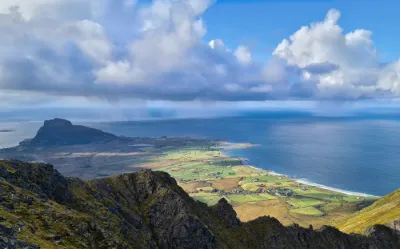
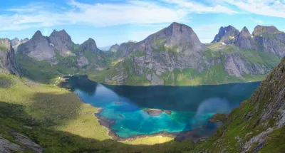
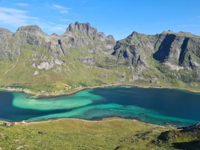
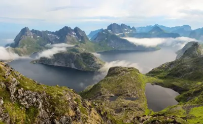
- The 360-degree panorama from the summit, offering views of Gimsøya Island, Vikspollen Bay, the west coast of Austvågøya Island, and even the Vesterålen Islands on a clear day
- The proximity to magnificent white sand beaches, perfect for a refreshing swim after your climb
Practical information
Parking
Paid parking is available at the Lofoten Links golf club, located just a few hundred meters from the foot of Hoven.
Best time to go
Mid-May to mid-October on average. See the Norway FAQ for more details.
Photos
More hikes to do in Norway
Nearby hikes















Printed from www.horizonrando.fr/en/norway/hoven/