





Hermannsdalstinden Hike
Key facts about the hike
- Difficulty
- Very hard Hikes are rated from very easy to very hard: my difficulty scale
- Duration
- 10h Estimated time, short breaks included (photos, water, snacks), picnic not included: how it is calculated
- Distance
- 21.2km
- out and back
- Elevation gain
- 1,810m
- Type of route
- Out and back
- Maximum altitude
- 1,029 m
- Vertiginous Five levels, depending on how exposed the route is: the levels in detail
- Highly
- Marked
- No
- Popularity
- Low
- Island
- Moskenesøya, Lofoten
- Start point
- 67.89127, 13.00981
- Activity
- Hiking
Hike overview
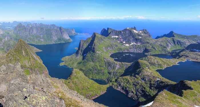
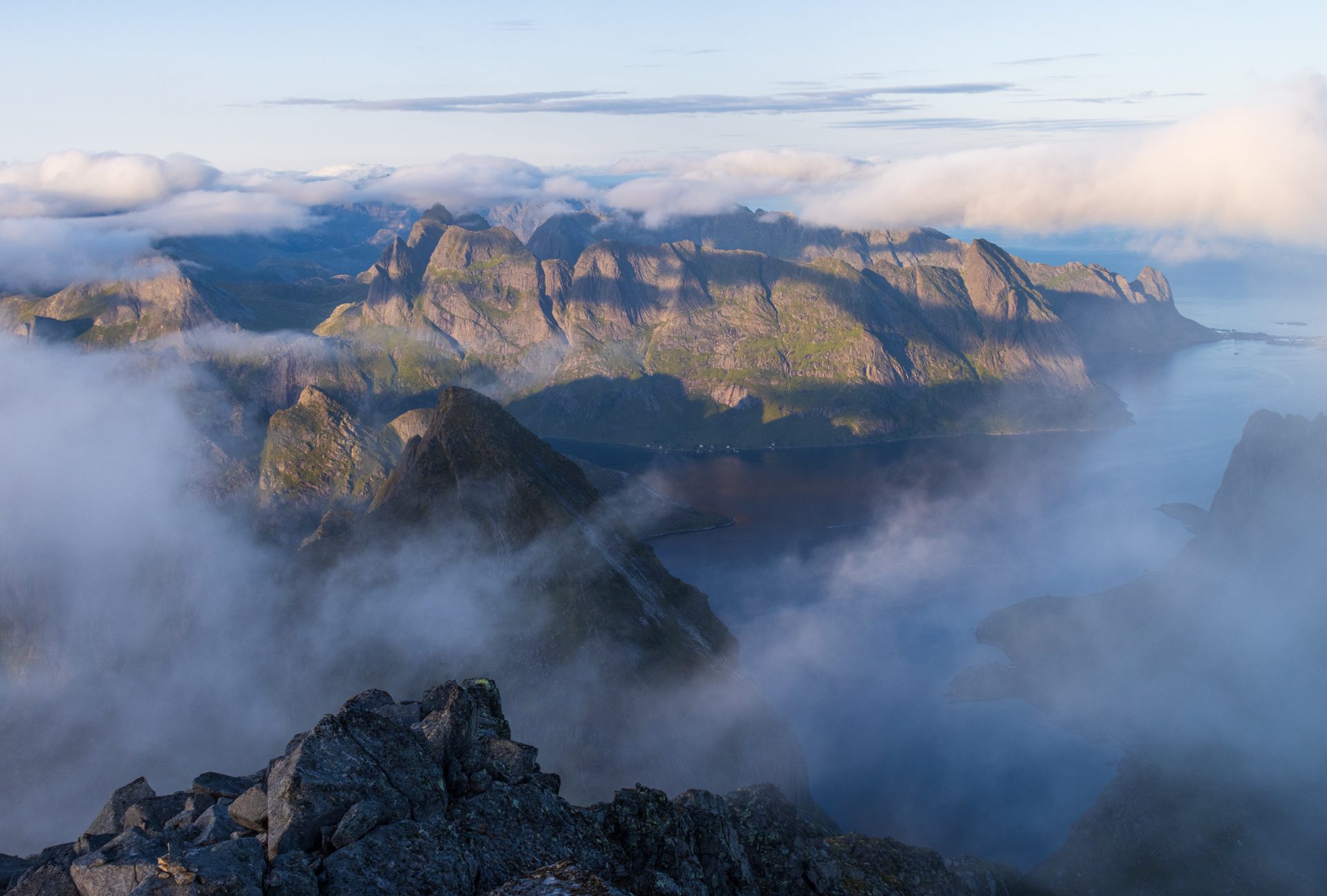
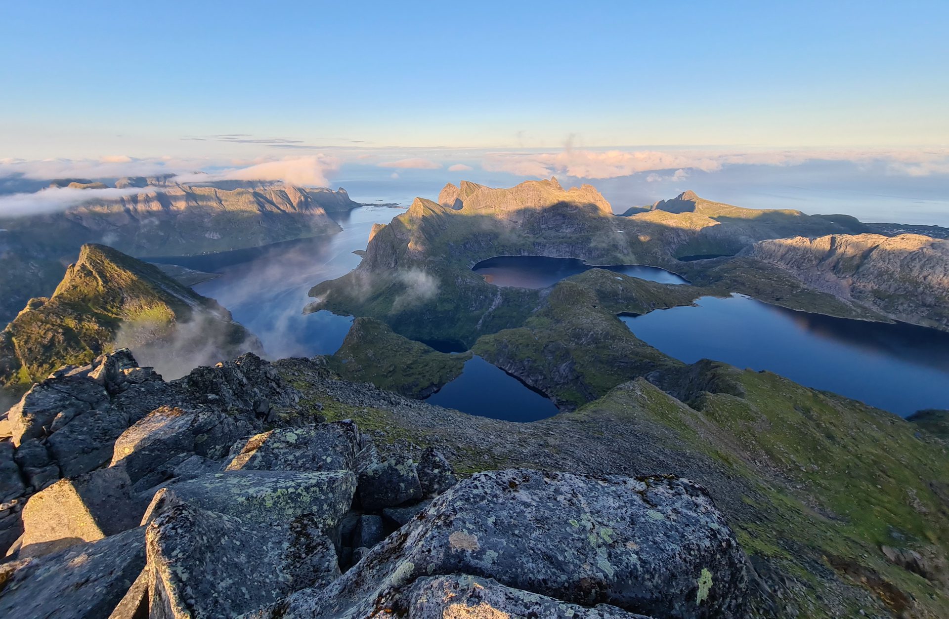
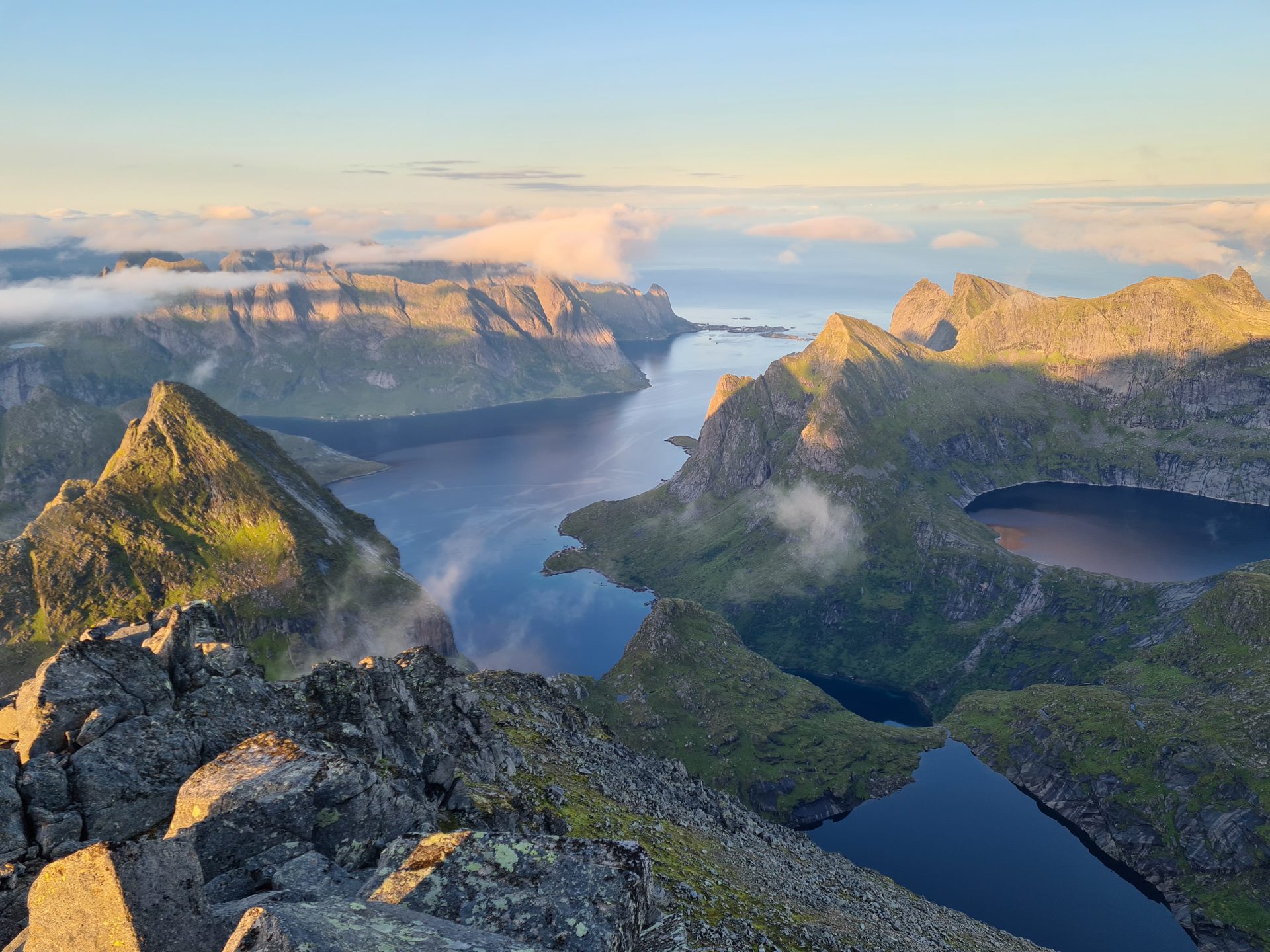
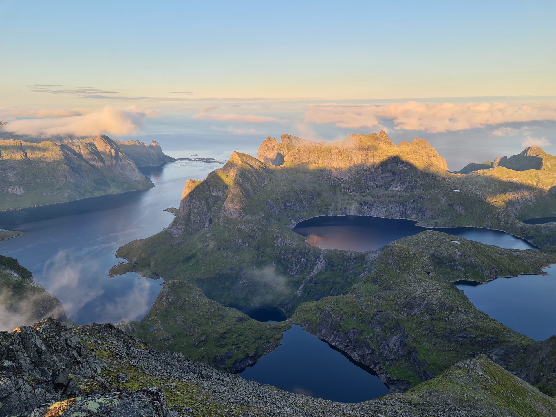
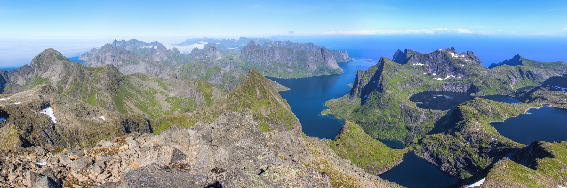
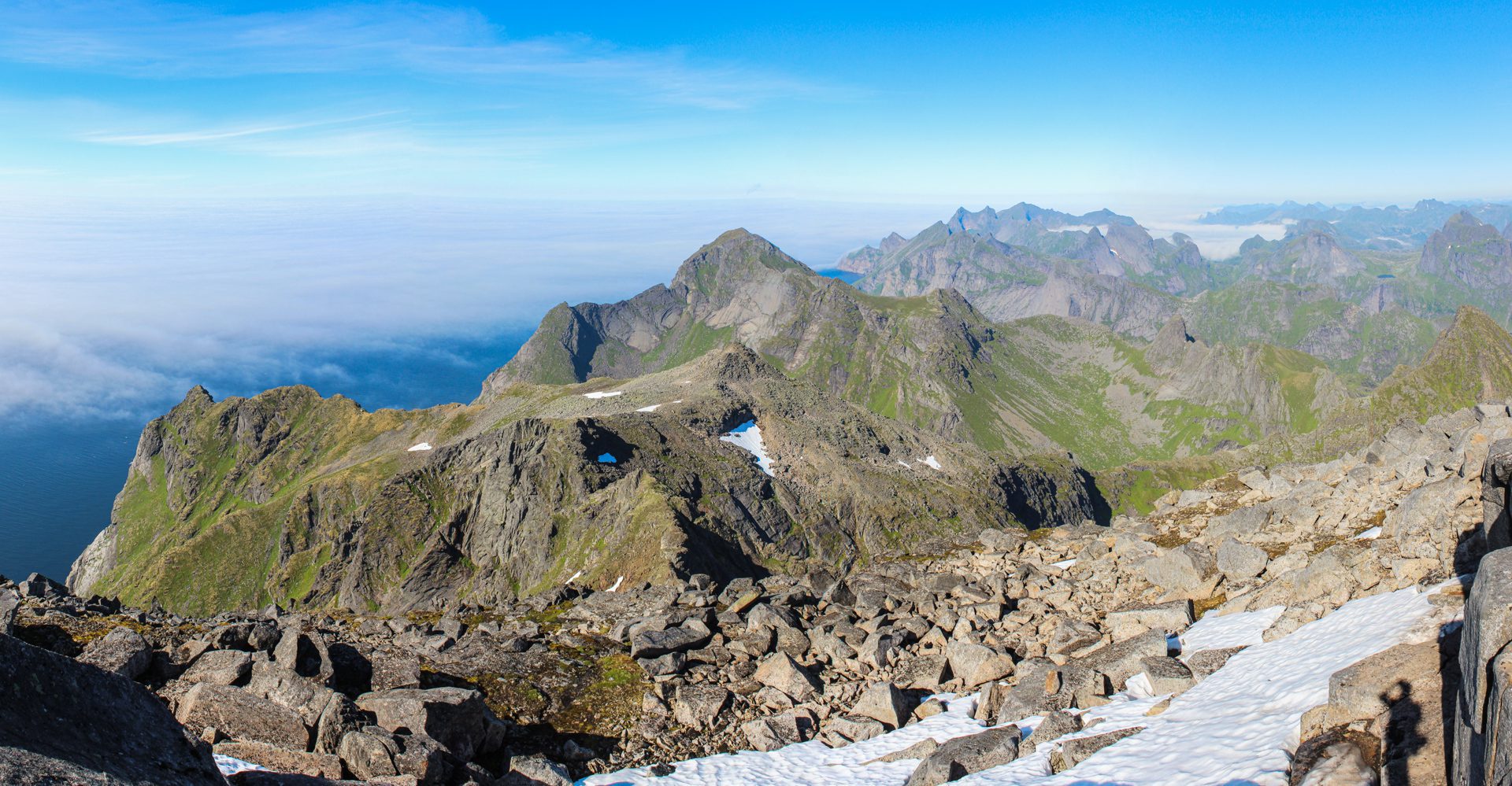
The Hermannsdalstinden hike leads to the highest point on the island of Moskenesøya in the Lofoten archipelago, standing at 1,029 meters above sea level. This hike is only for experienced hikers, especially if you plan to complete it in a single day, due to the long distance and significant elevation gain. Along the way, you'll discover diverse and absolutely magnificent landscapes, culminating in an exceptional panorama from the summit.
Map and elevation profile of the hike
Hermannsdalstinden Hike
Difficulties of the hike
Although the route has a well-defined trail, it requires excellent physical conditioning due to its length of over 21 kilometers and elevation gain of over 1,800 meters. There are no markings but numerous cairns along the route and red marks on the summit slope.
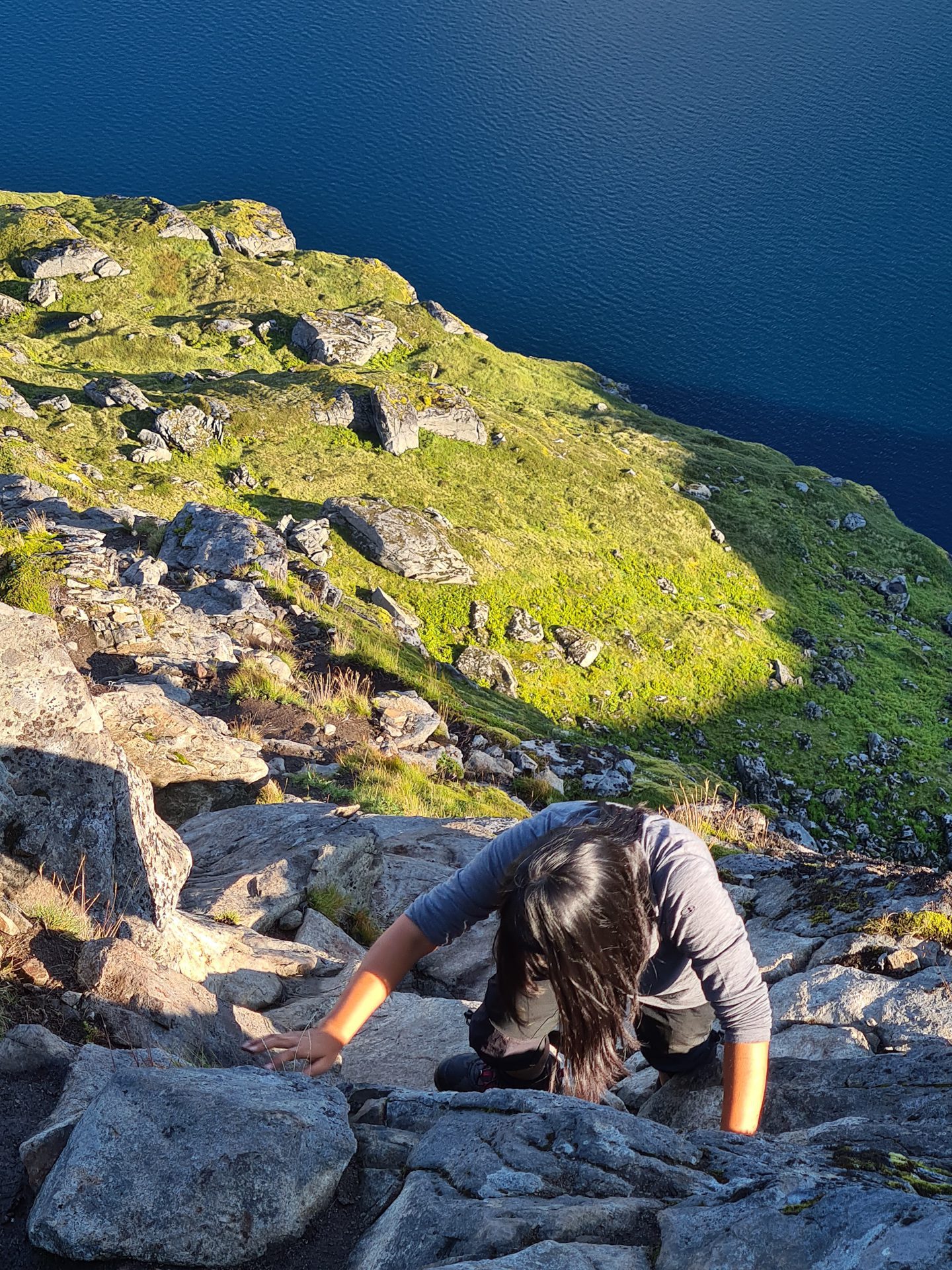
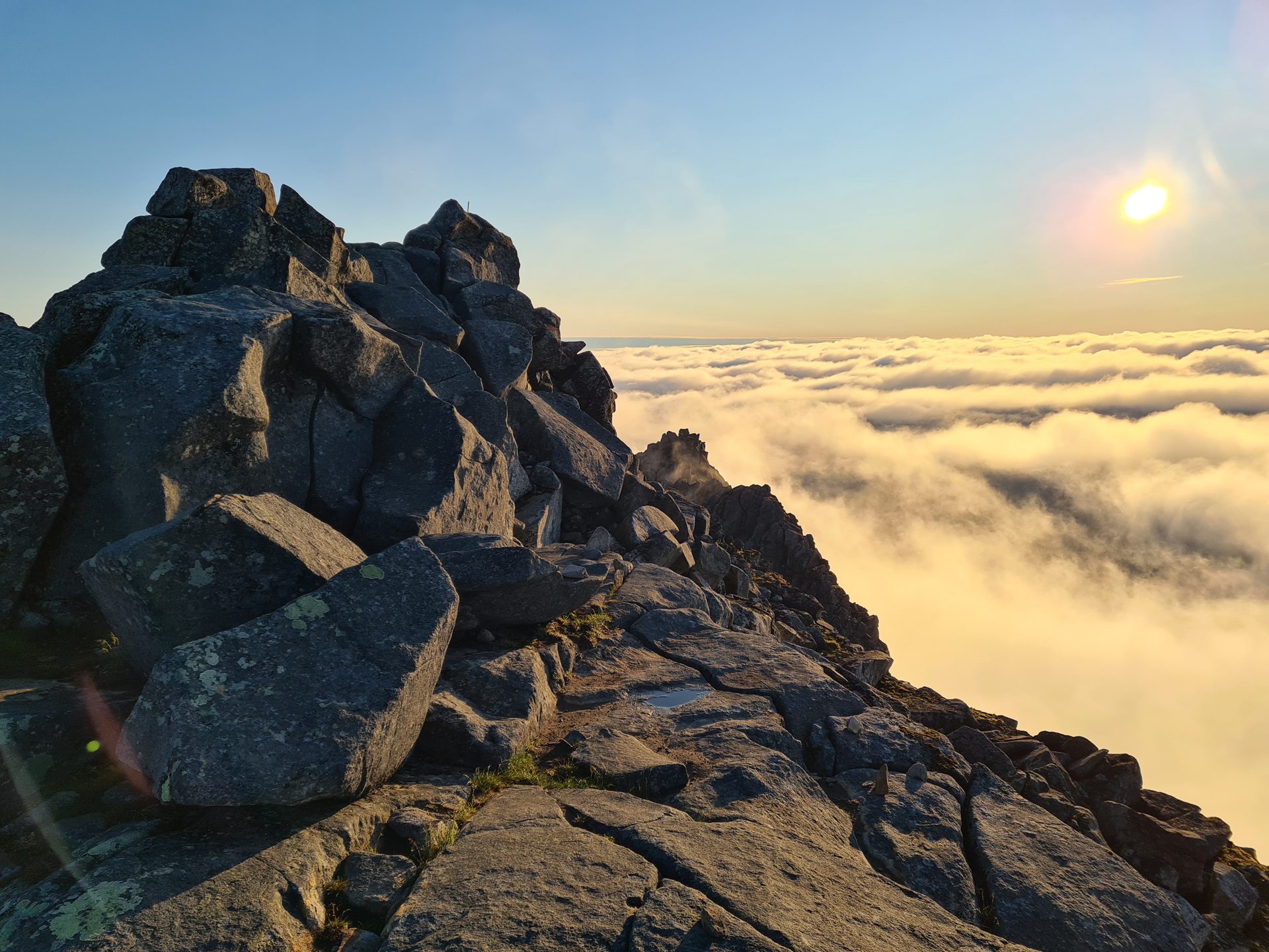
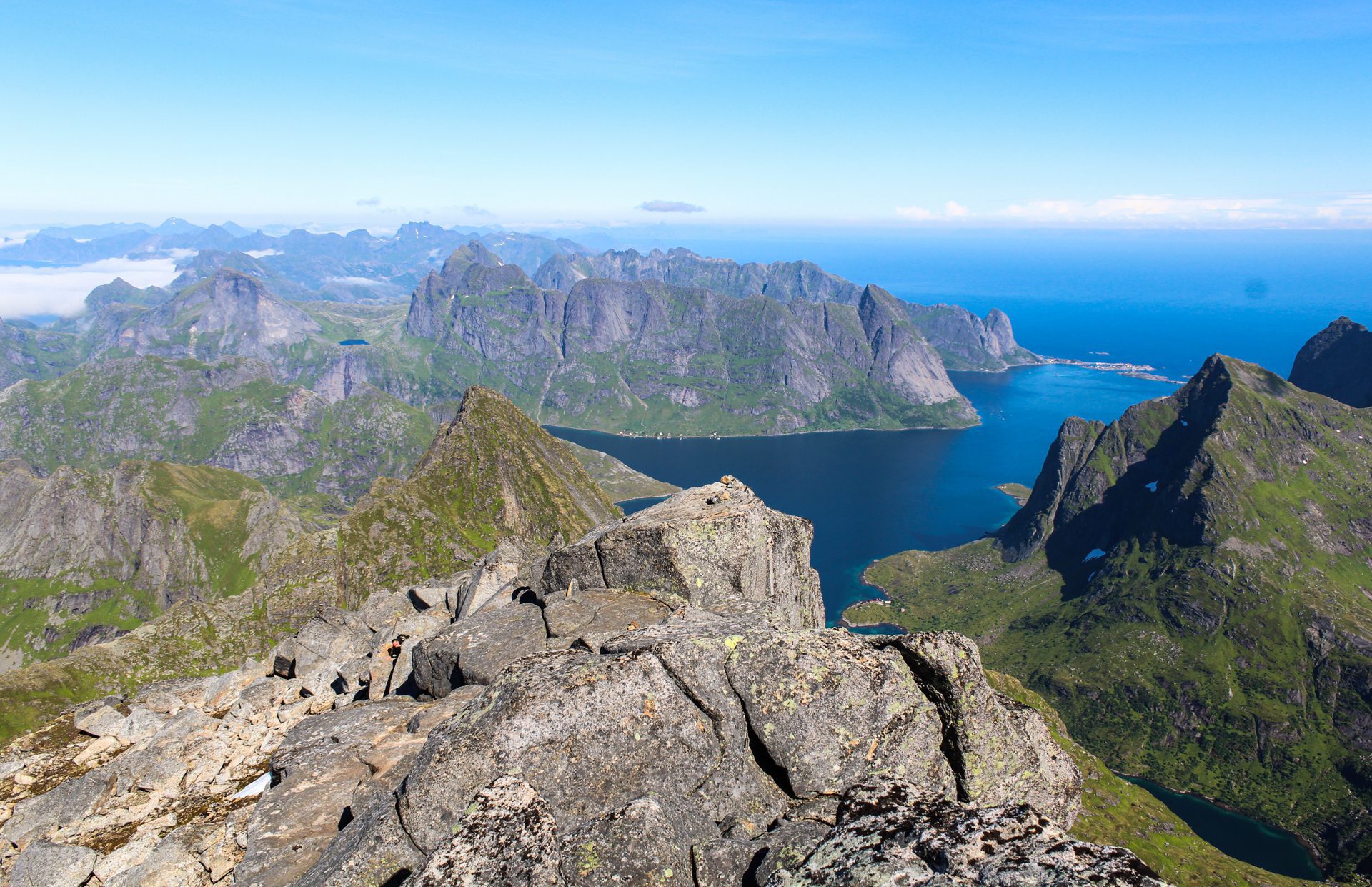
The final ascent to the summit is particularly vertiginous, with two or three sections equipped with chains or ropes for safety. The final section through the scree is very steep but not particularly technical. The summit, made up of large stone blocks, may be uncomfortable for those afraid of heights.
What you'll love
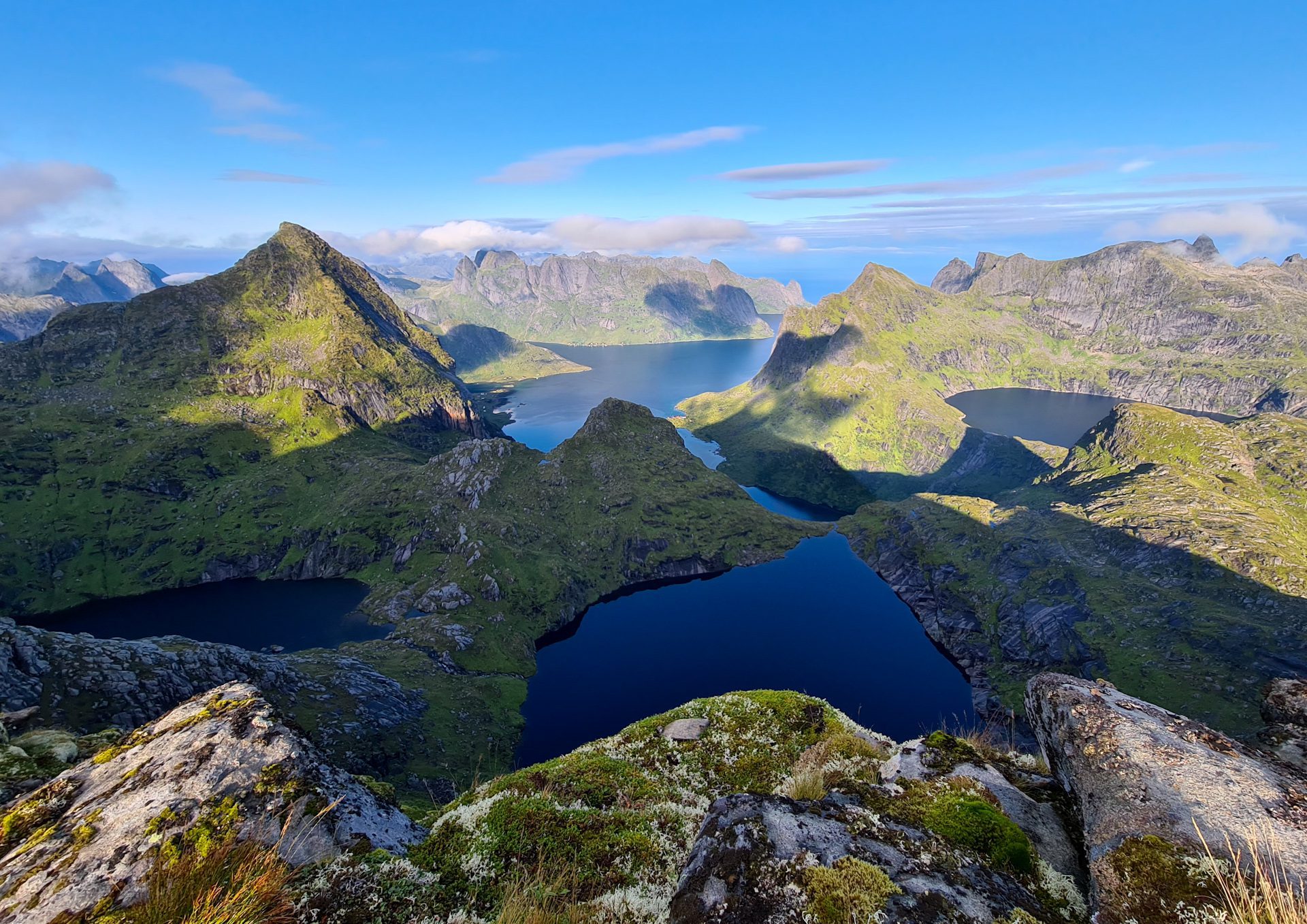
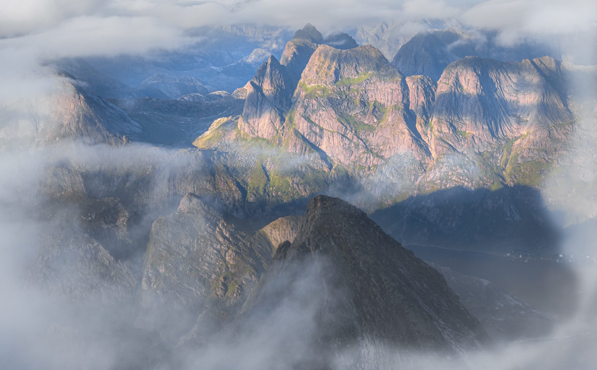
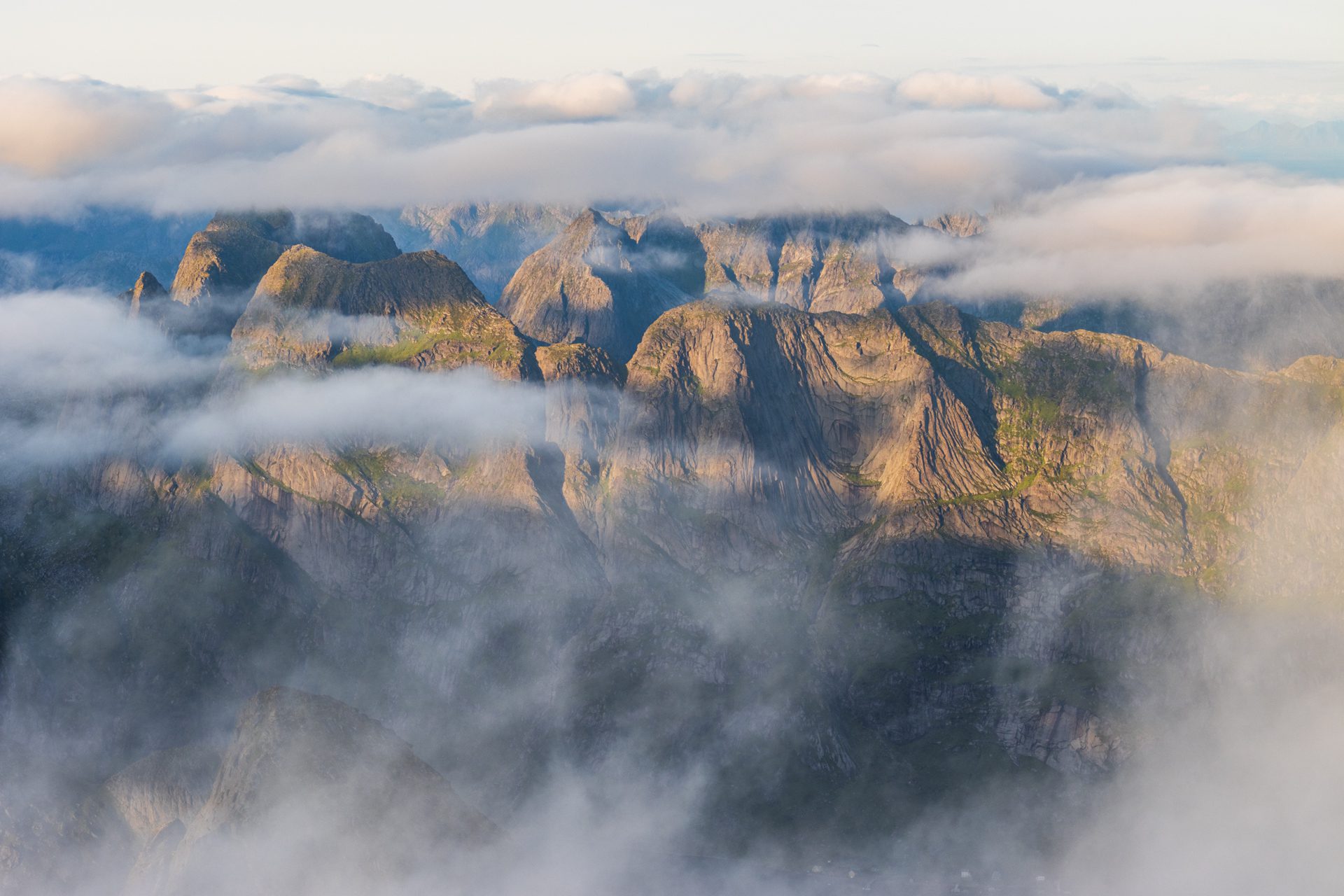
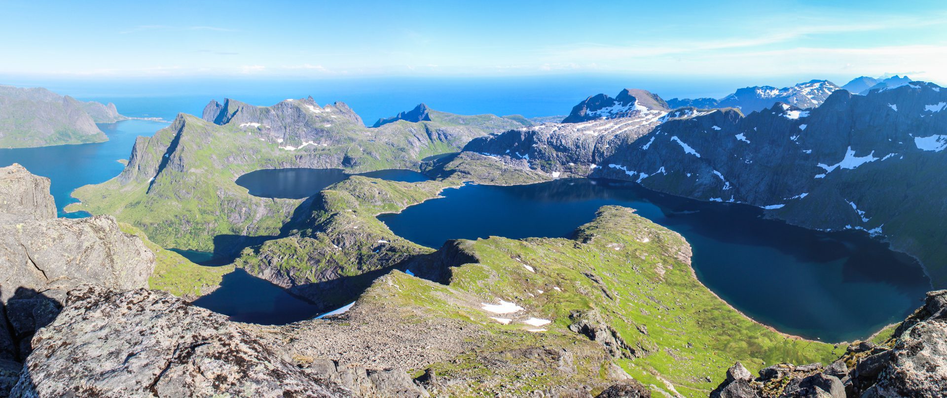
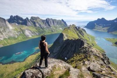
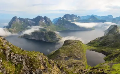
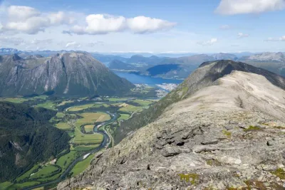
- The exceptional summit panorama: An absolutely magnificent view and the feeling of dominating the island of Moskenesøya while embracing the surrounding peaks and fjords of Lofoten.
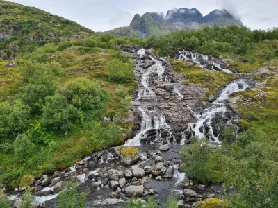
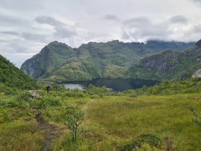
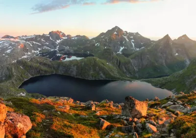
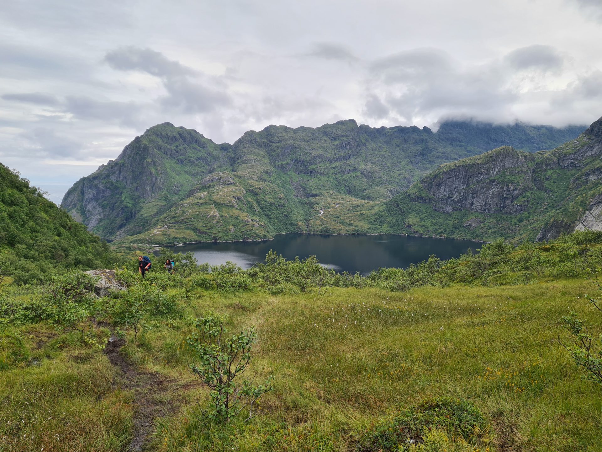
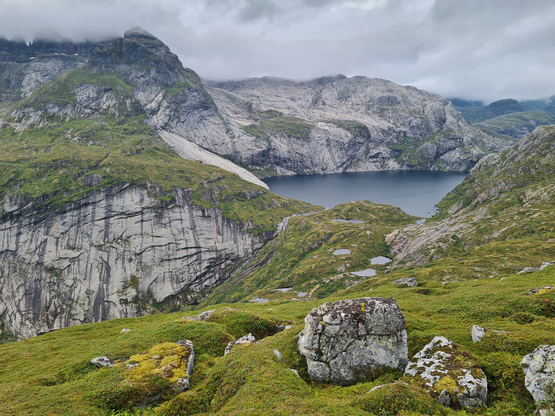
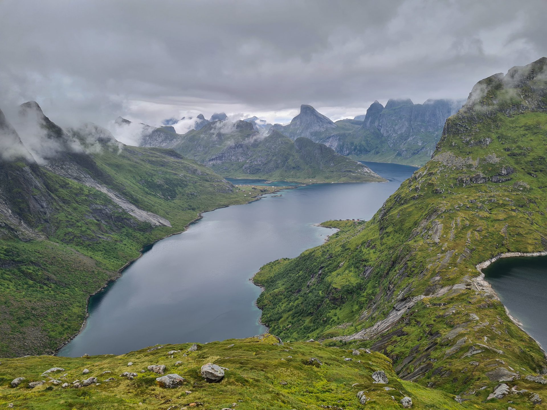
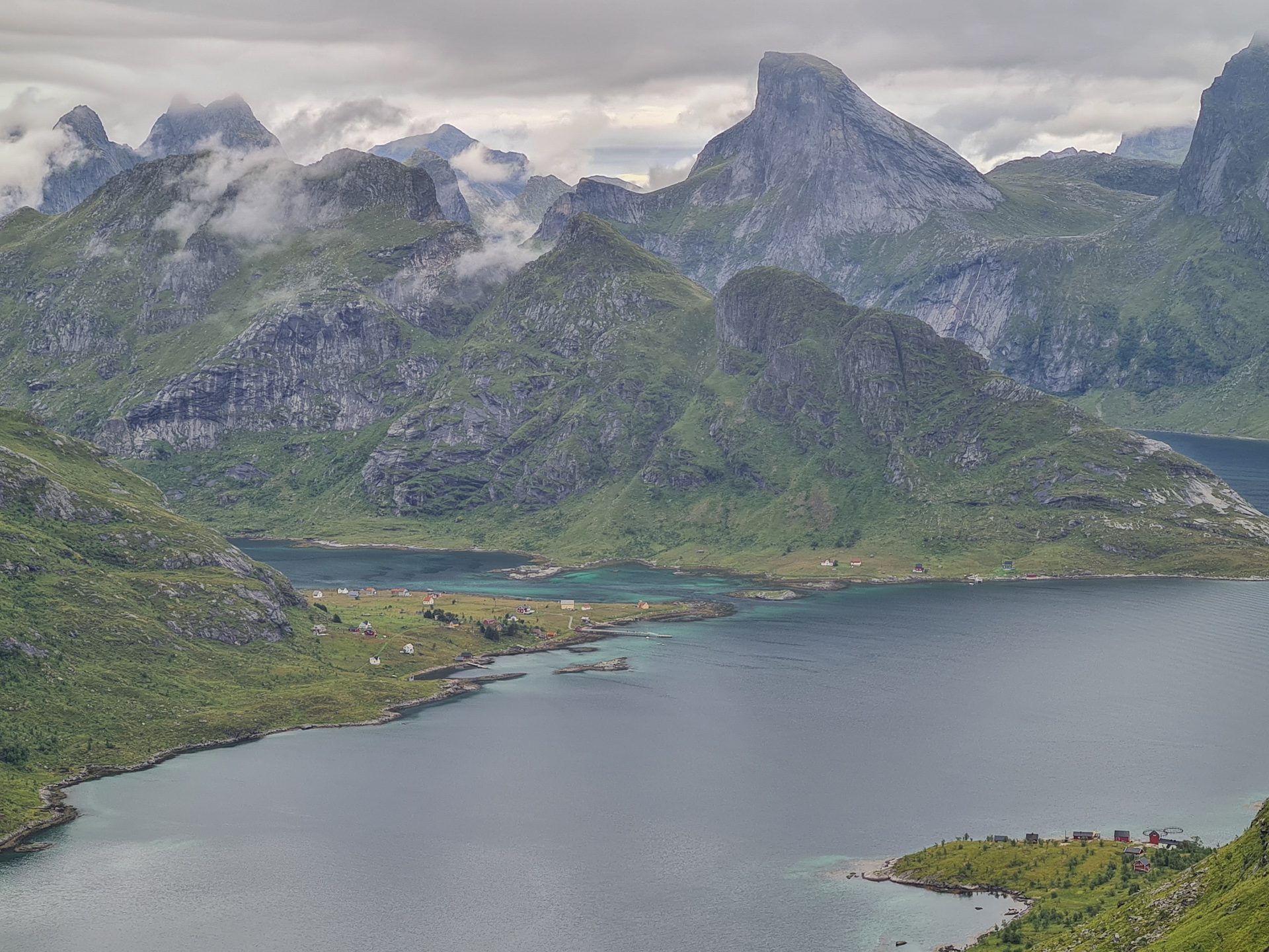
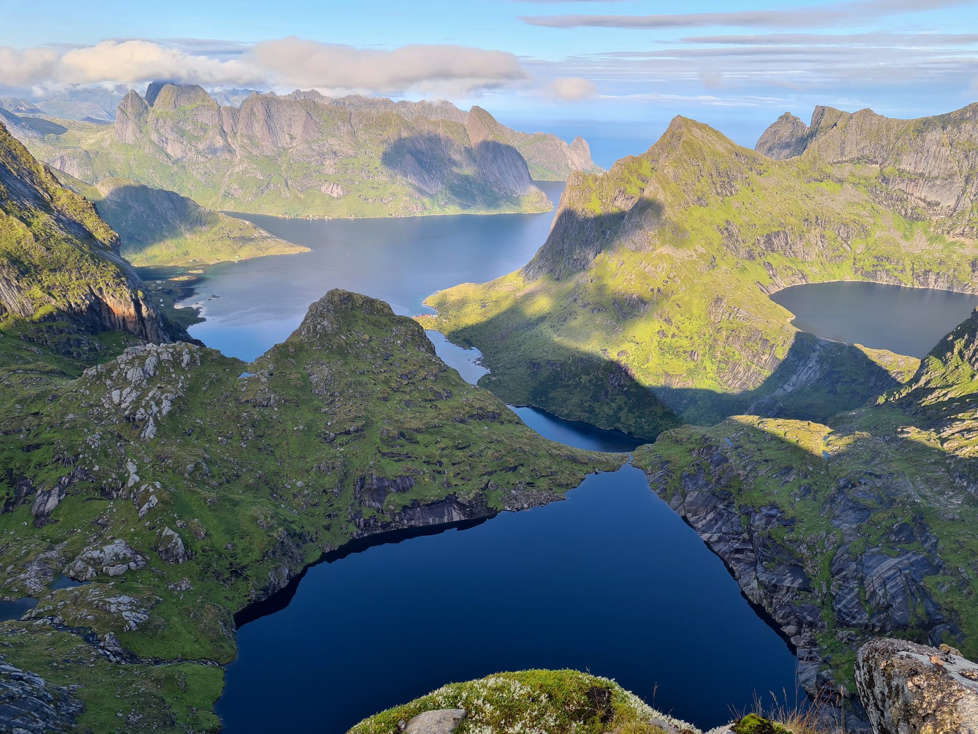
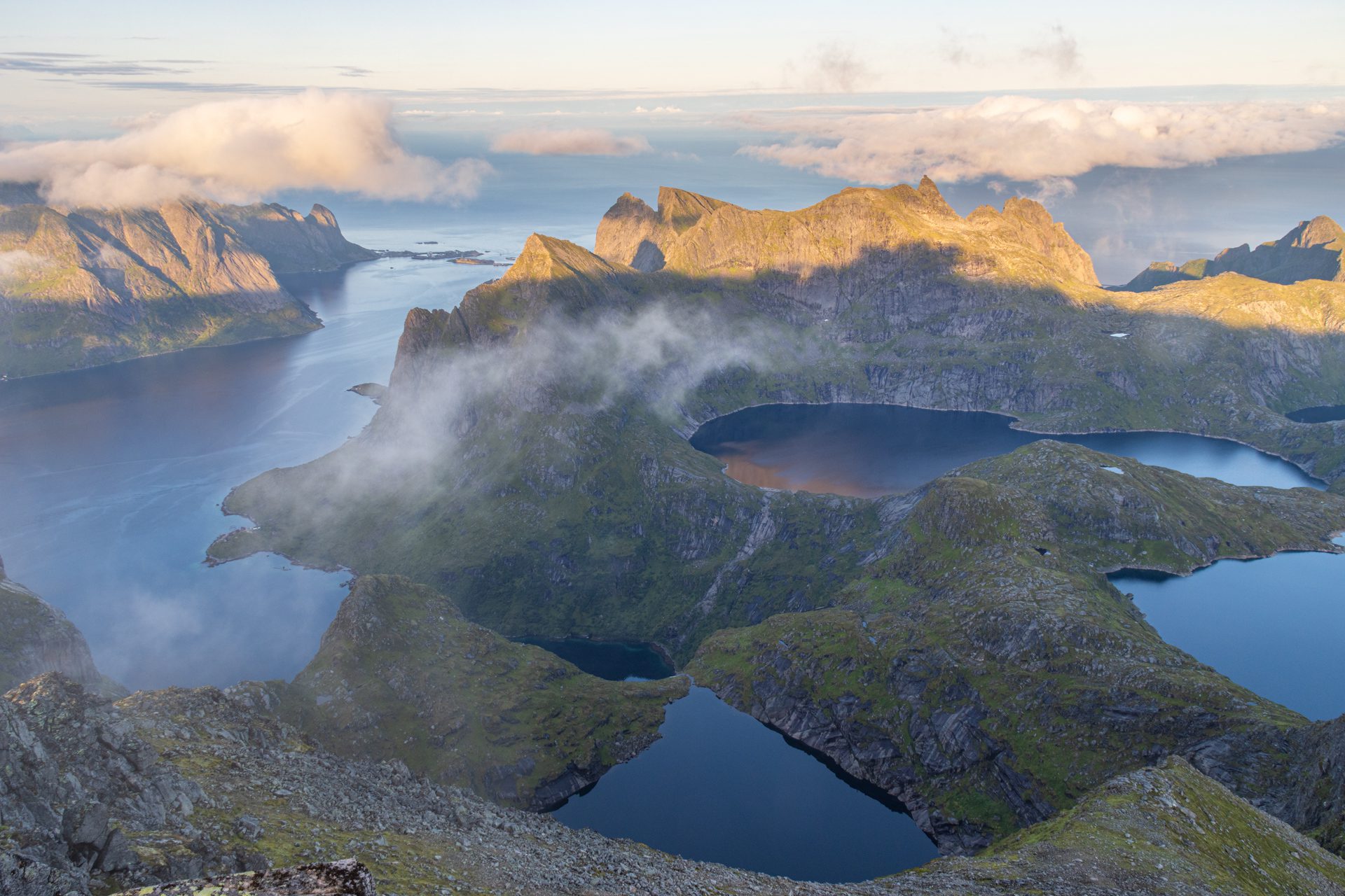
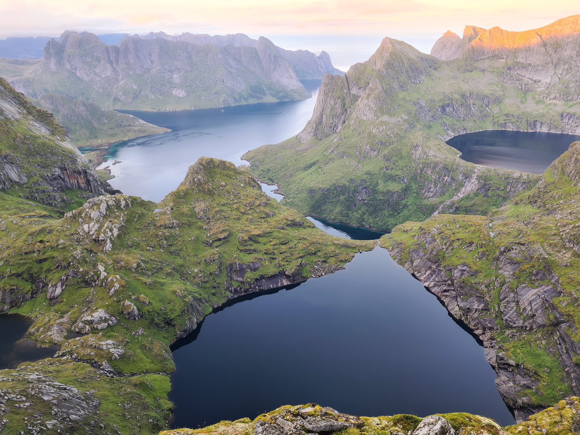
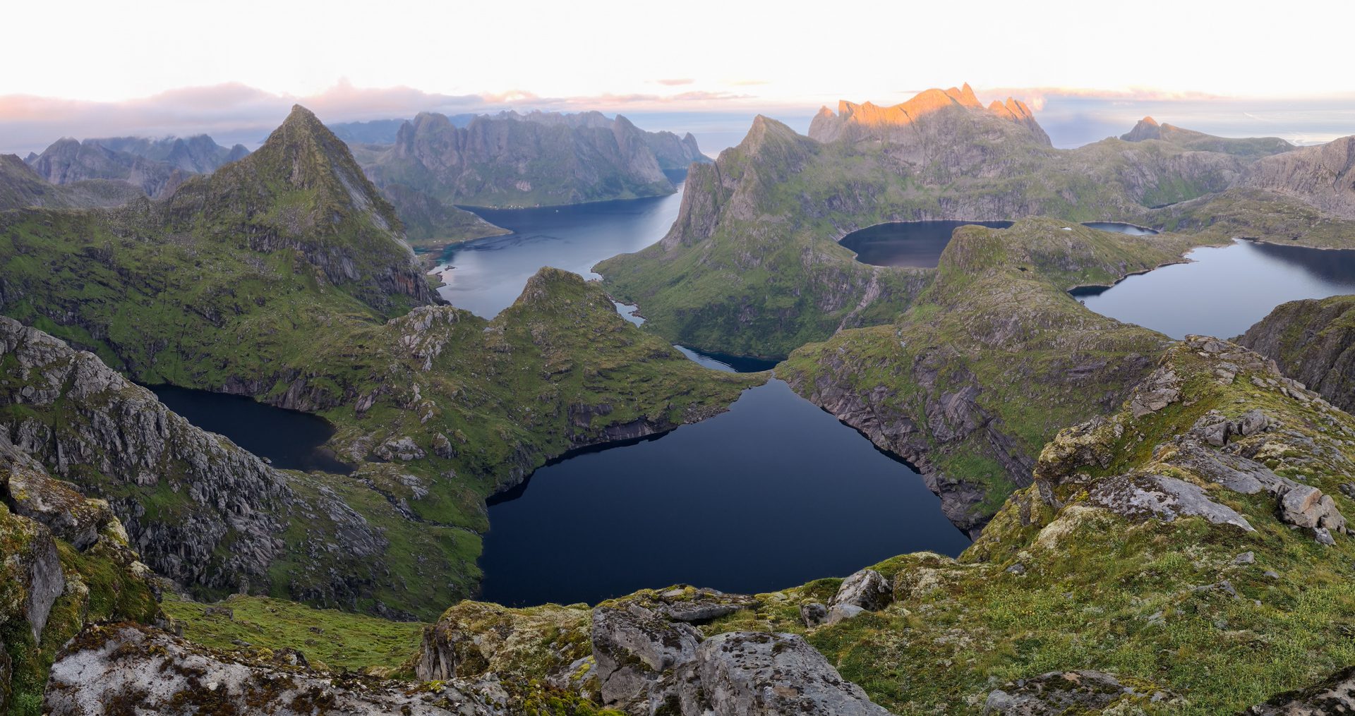
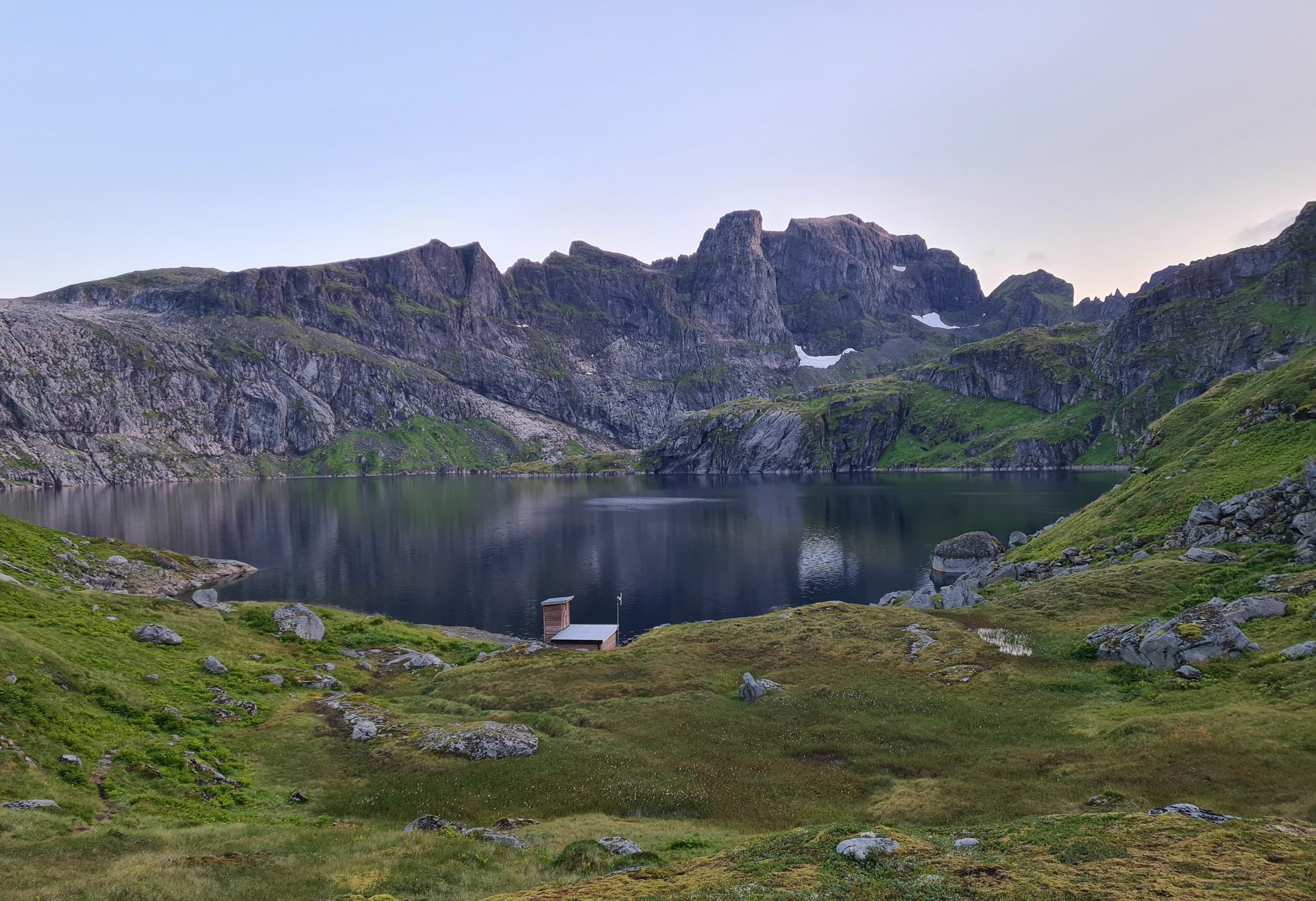
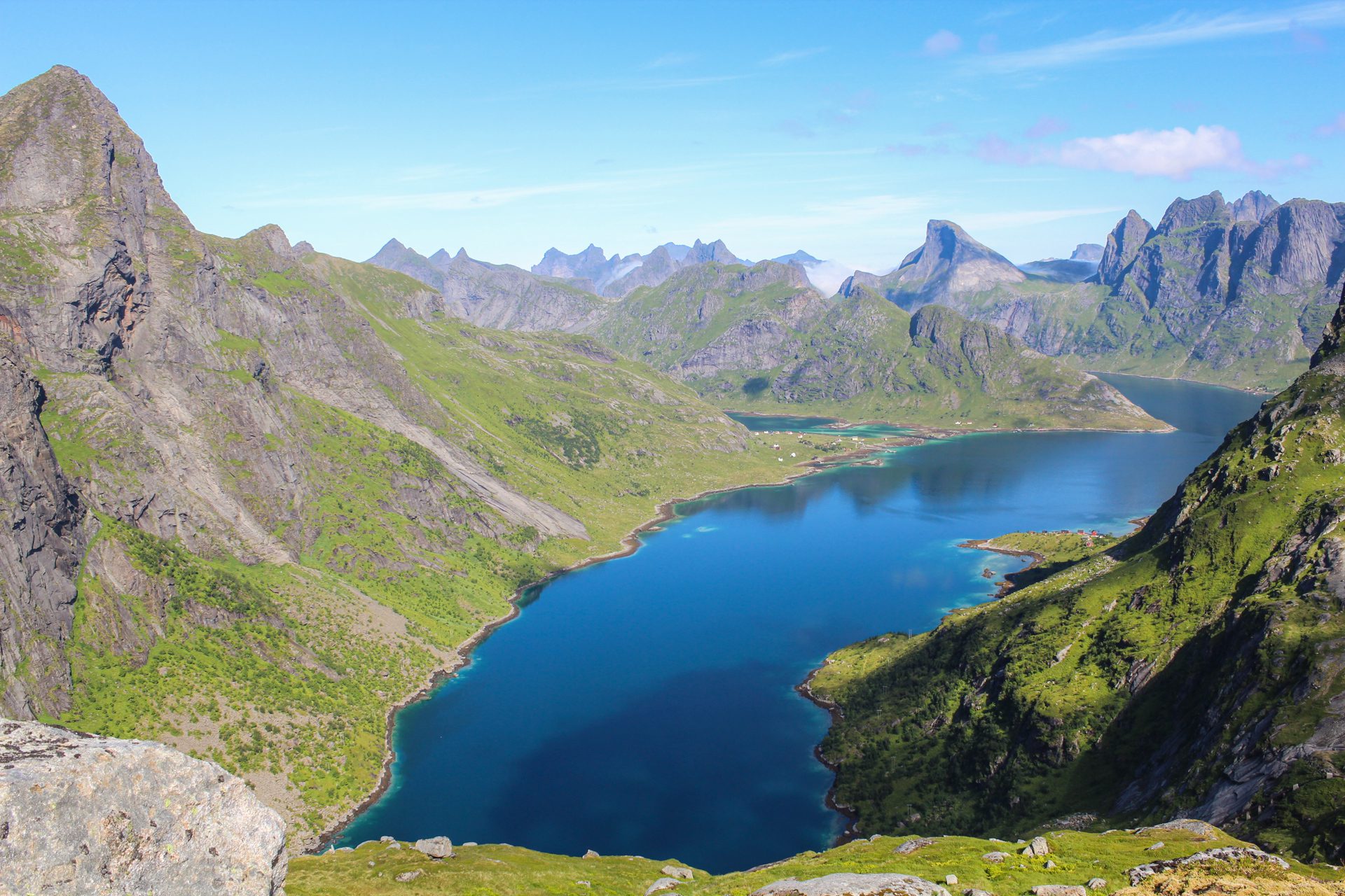
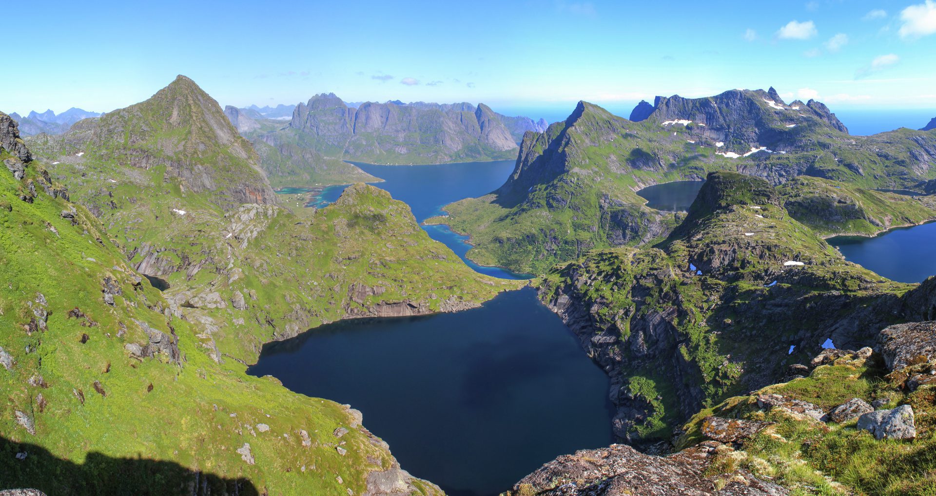
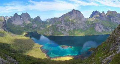
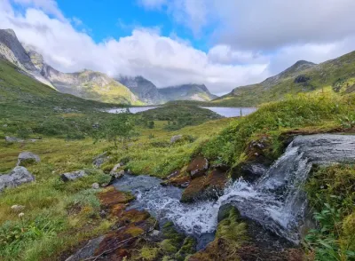
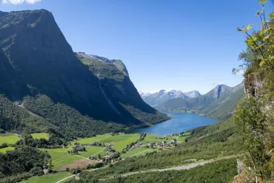
- The diversity of landscapes encountered: superb waterfalls, numerous high-altitude lakes, and panoramic views of the Forsfjord.
- The unique sense of achievement upon reaching the highest peak on Moskenesøya and experiencing a true alpine adventure in a wild, unspoiled setting far from the crowds of popular Lofoten hikes
Practical information
Best time to go
July to September on average. See the Norway FAQ for more details.
Bivouac
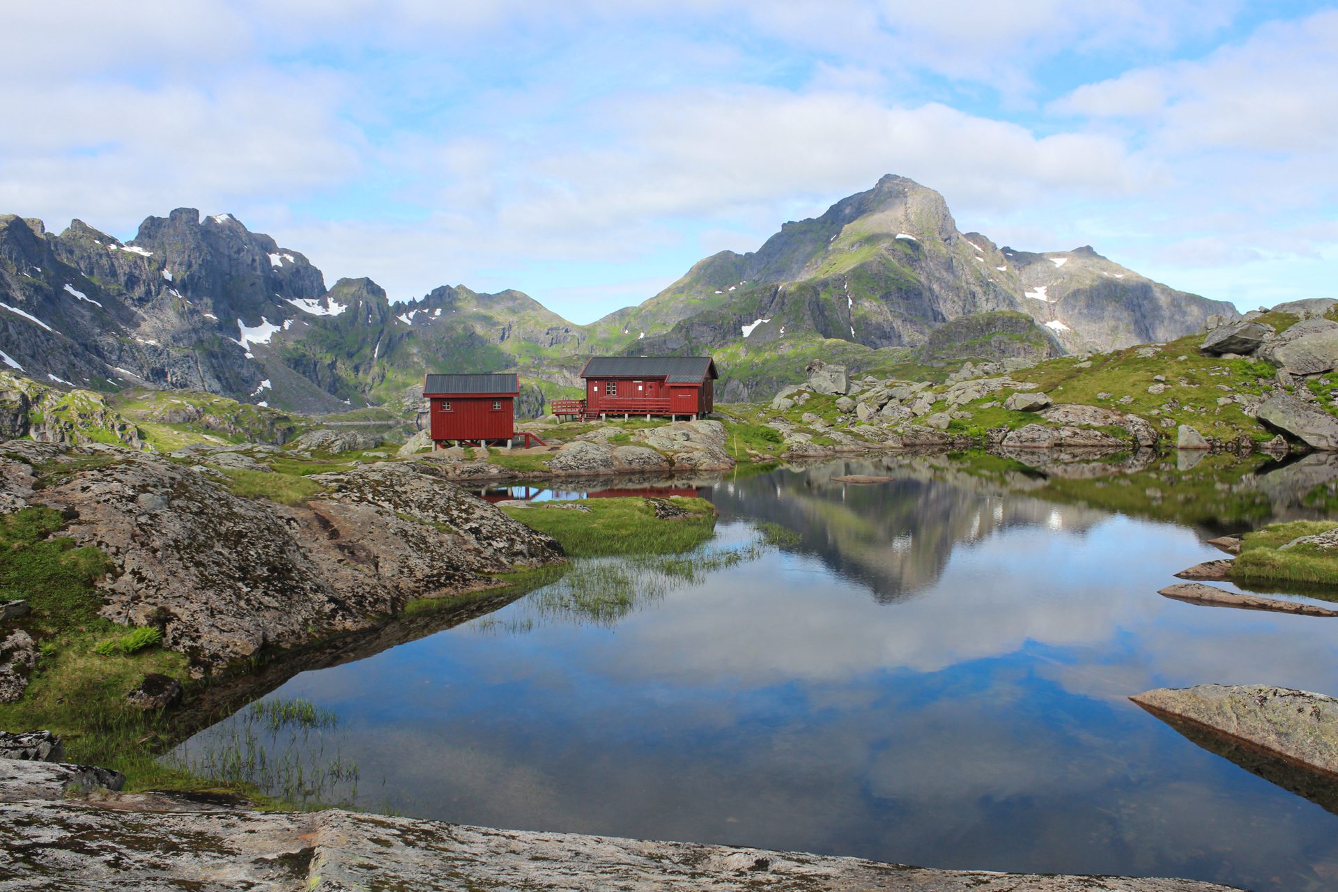
The Munkebu cabins are an ideal place to break up the hike over two days and have access to drinking water. Take advantage of the first day to climb the Munken summit, just an hour's walk from Munkebu.
A little further on is a 449-meter-high hill (coordinates 67.93376, 12.97951) that also offers an exceptional bivouac spot with views of high-altitude lakes and the Forsfjord.
More details on the hike
Option 1: To shorten the hike, you can start from the Forsfjord power station (coordinates 67.93946, 12.98109, download the route's GPX file) by taking the boat from Reine. Ask the captain to make a detour to Forsfjord for a small extra charge, then call the company to arrange the return trip the same way. This alternative reduces the round-trip distance to 8.7 km with 1,100 m of elevation gain but is still classified as difficult due to the demanding nature of the trail.
Option 2: A final option is to combine the two approaches by starting from the Forsfjord power station and returning to Sørvågen (download the route's GPX file). This alternative reduces the distance to 15.6 km with an elevation gain of 1,520 m.
Photos
See all 26 photos →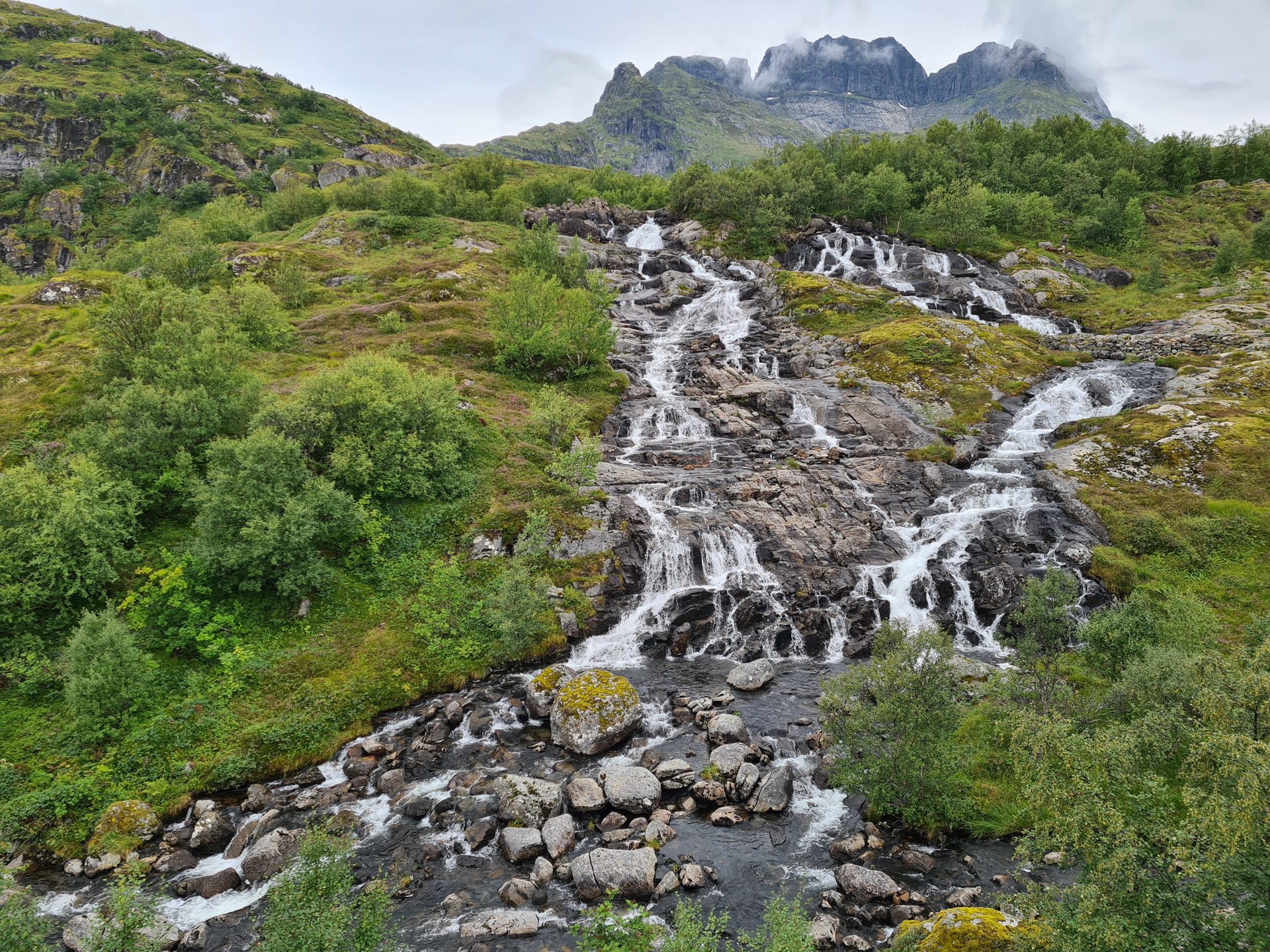
More hikes to do in Norway
Nearby hikes









Printed from www.horizonrando.fr/en/norway/hermannsdalstinden/