





Munken Hike
Key facts about the hike
- Difficulty
- Hard Hikes are rated from very easy to very hard: my difficulty scale
- Duration
- 5h30 Estimated time, short breaks included (photos, water, snacks), picnic not included: how it is calculated
- Distance
- 13km
- out and back
- Elevation gain
- 1,030m
- Type of route
- Out and back
- Maximum altitude
- 769 m
- Vertiginous Five levels, depending on how exposed the route is: the levels in detail
- No
- Marked
- No
- Popularity
- Low
- Island
- Moskenesøya, Lofoten
- Start point
- 67.89127, 13.00981
- Activity
- Hiking
Hike overview
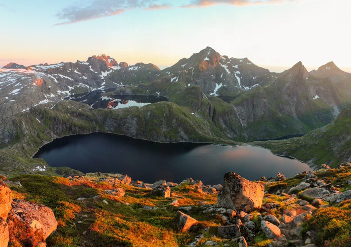
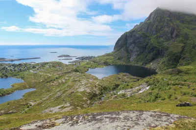
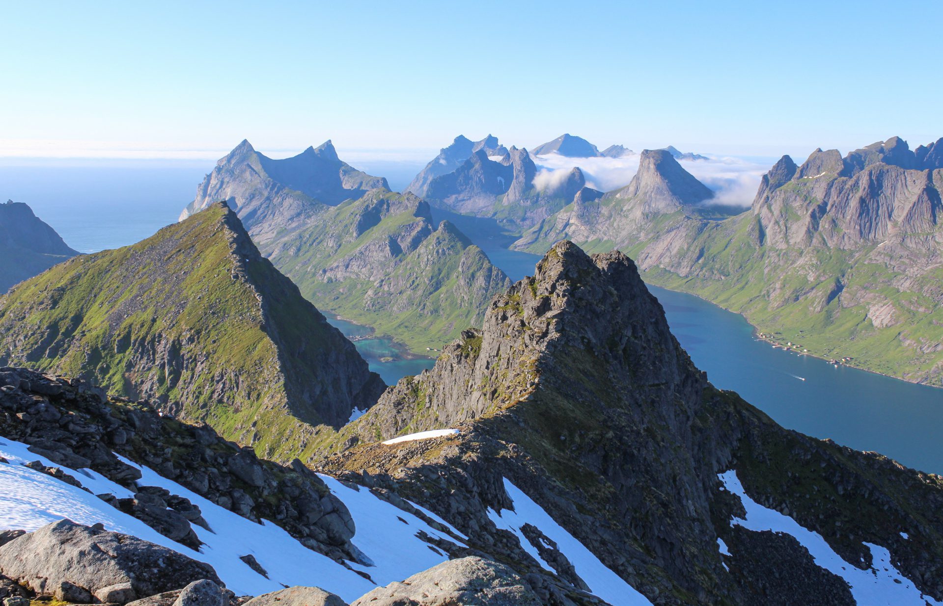
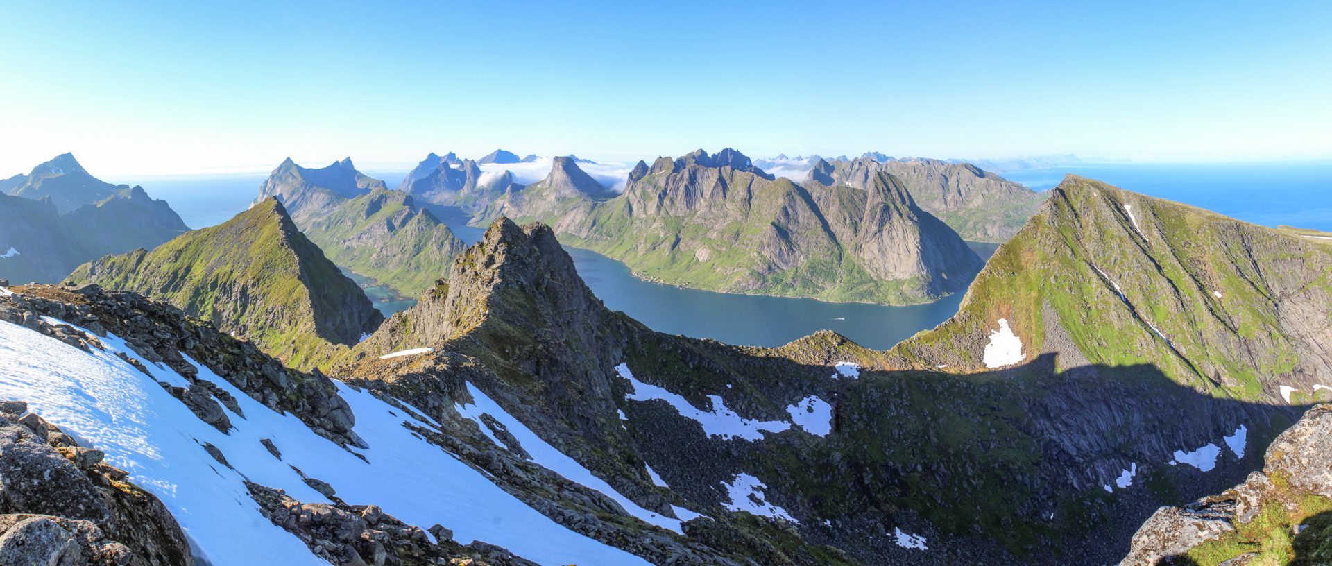
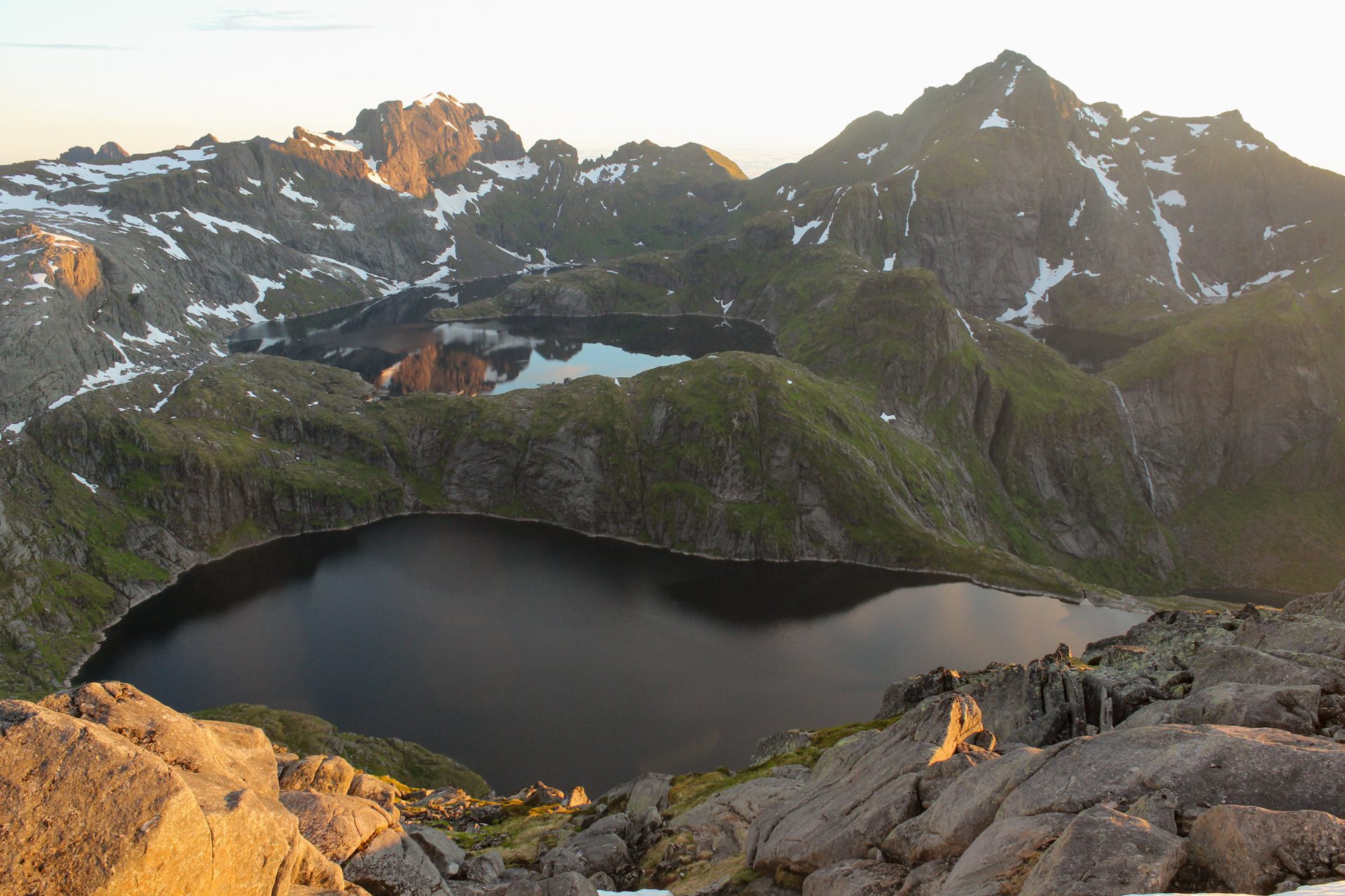
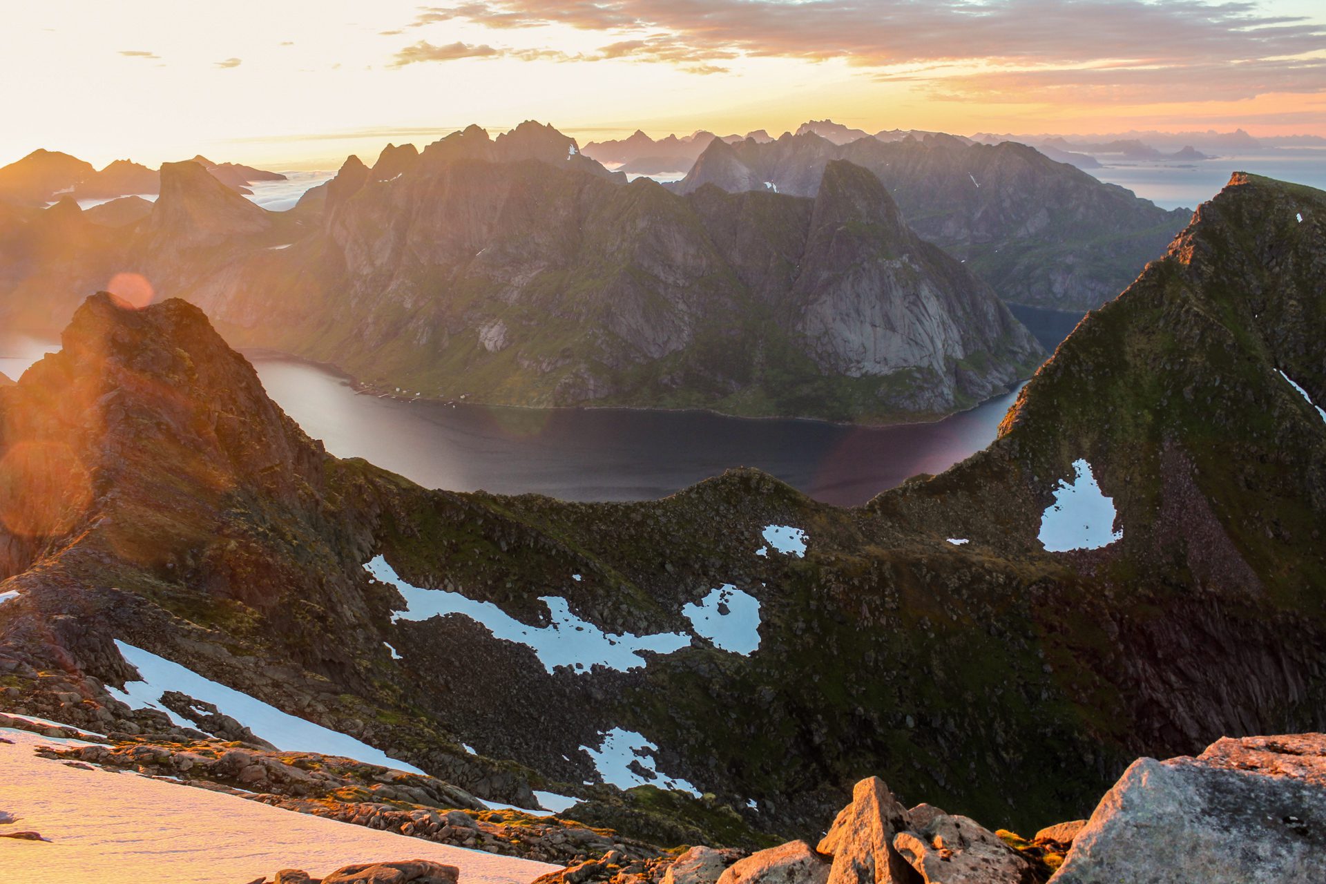
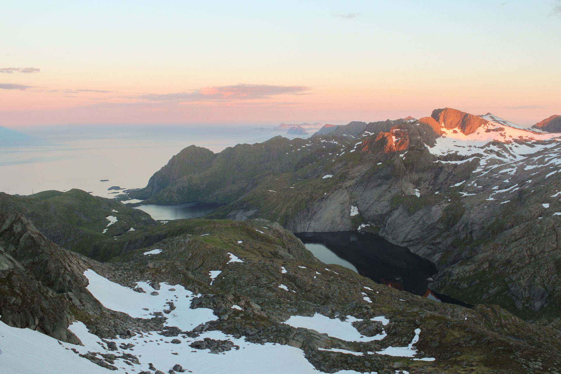
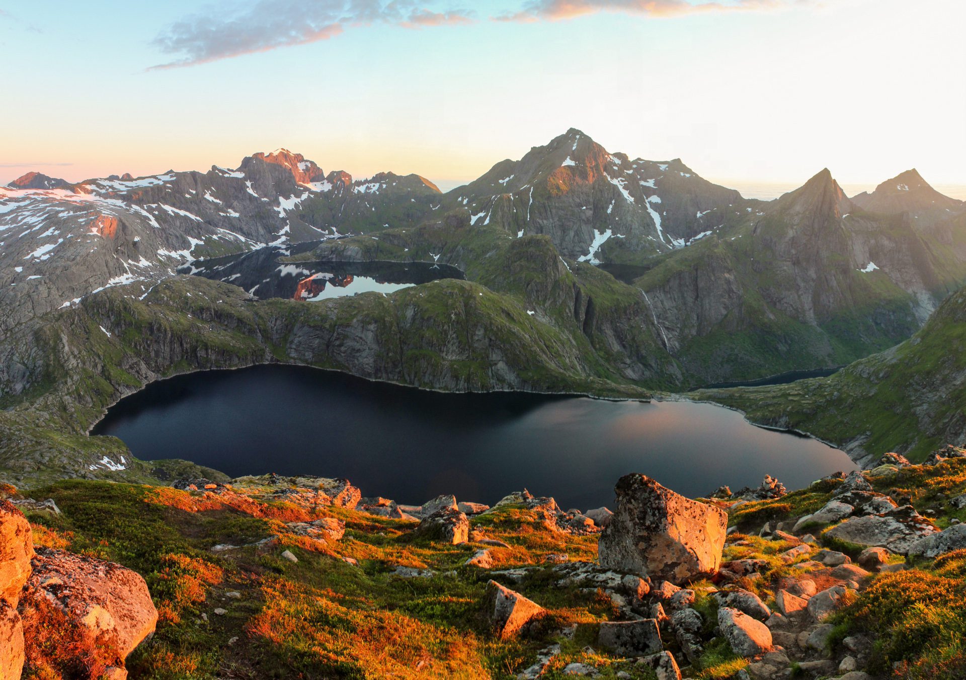
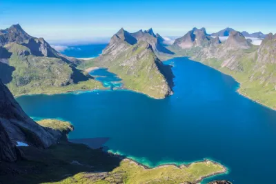
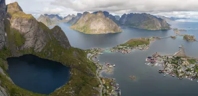
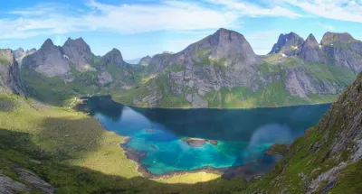
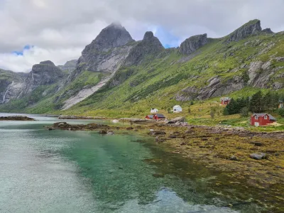
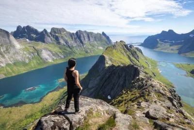
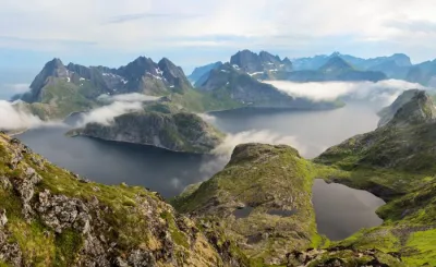
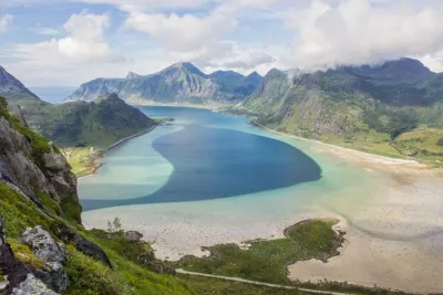
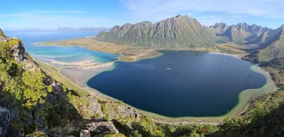
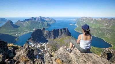
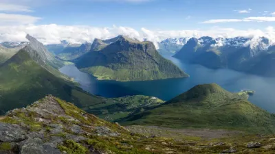
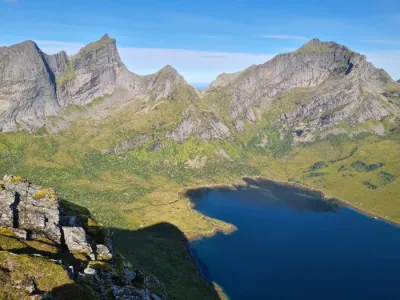
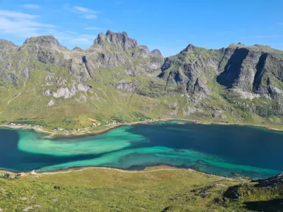
The Munken hike leads to the northern peak of this iconic mountain in the Lofoten archipelago, rising to an altitude of 769 meters on the island of Moskenesøya. The route passes through spectacular landscapes and offers exceptional views of the surrounding fjords, numerous high-altitude lakes, and rugged mountains, which are characteristic of the archipelago.
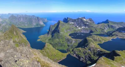
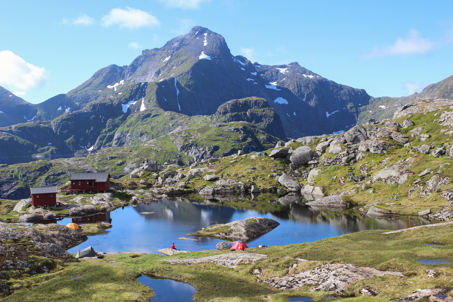
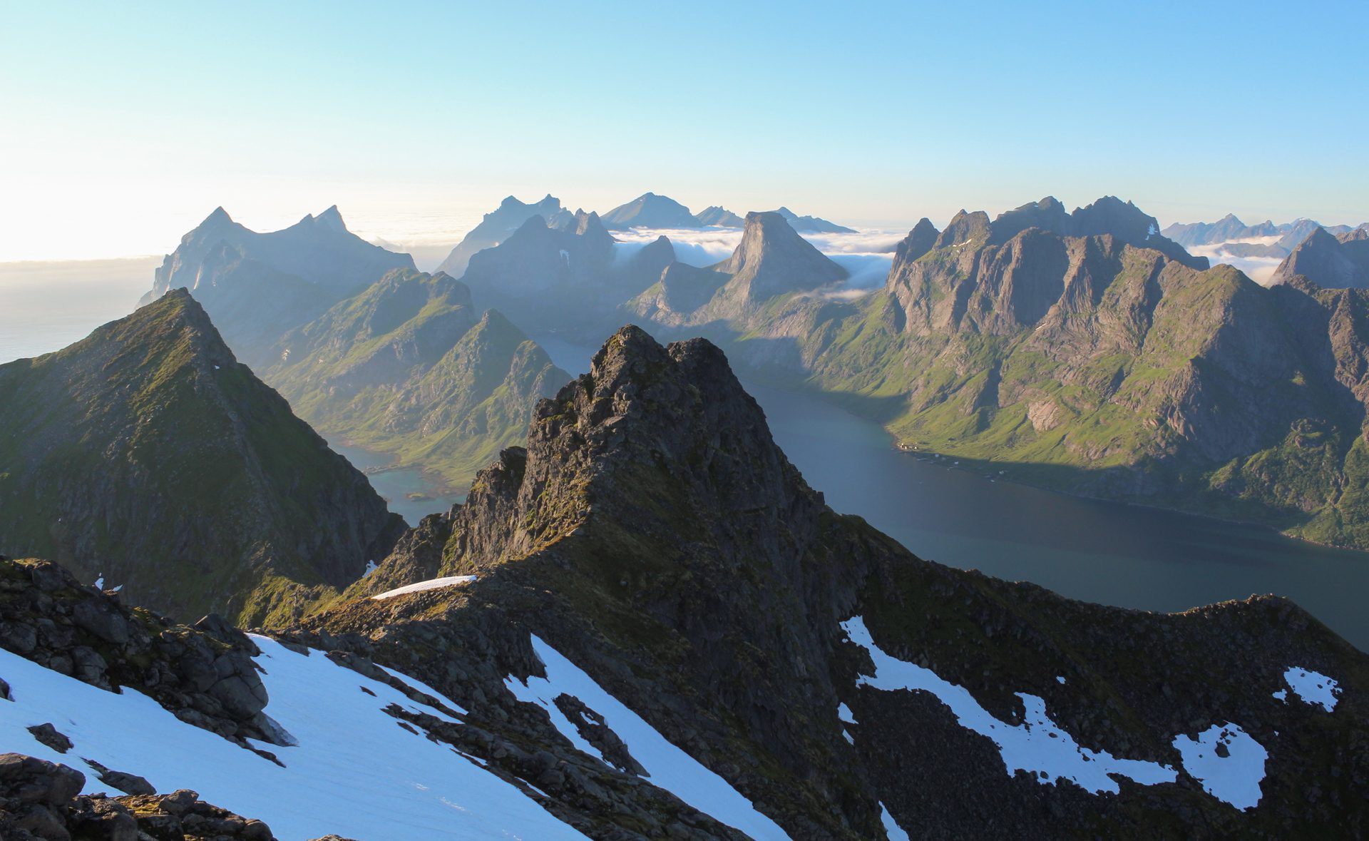
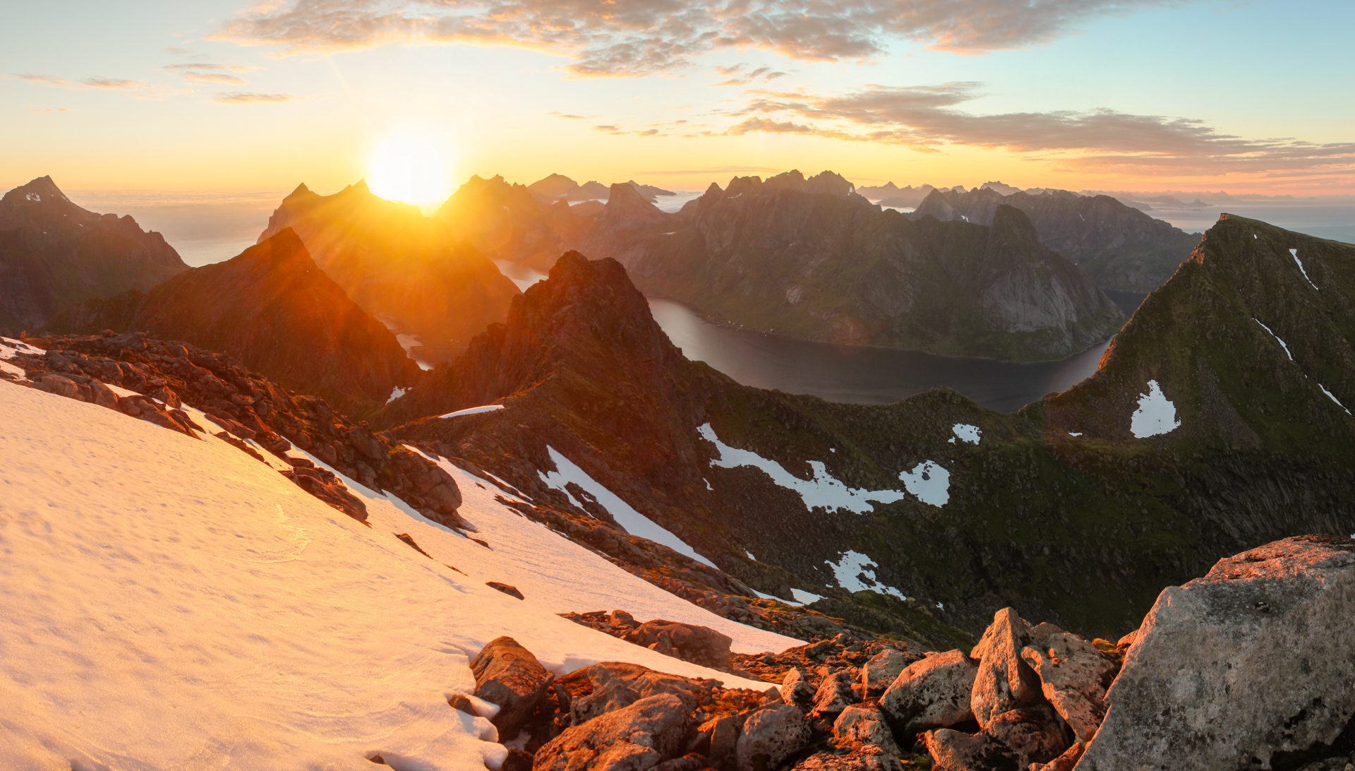
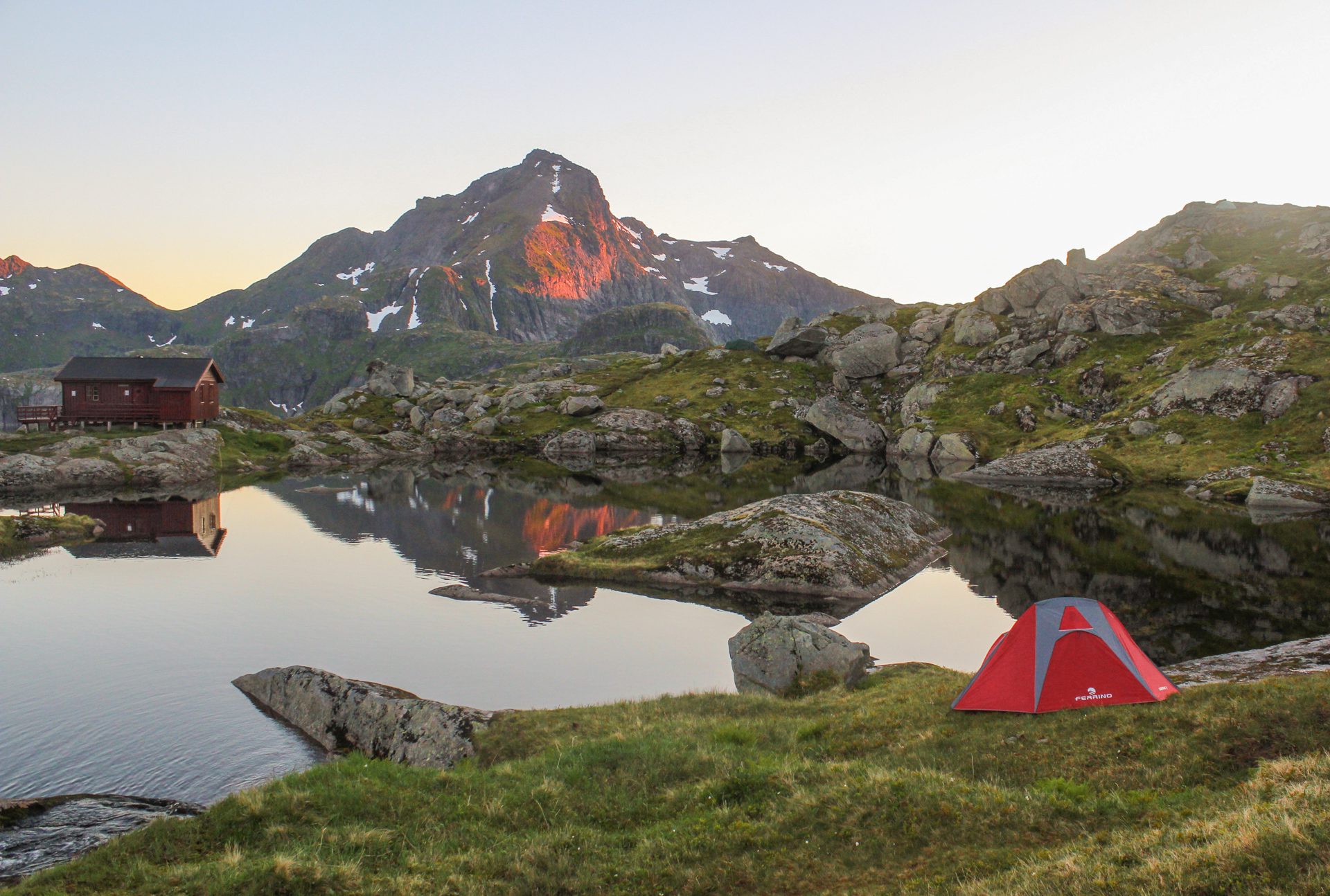
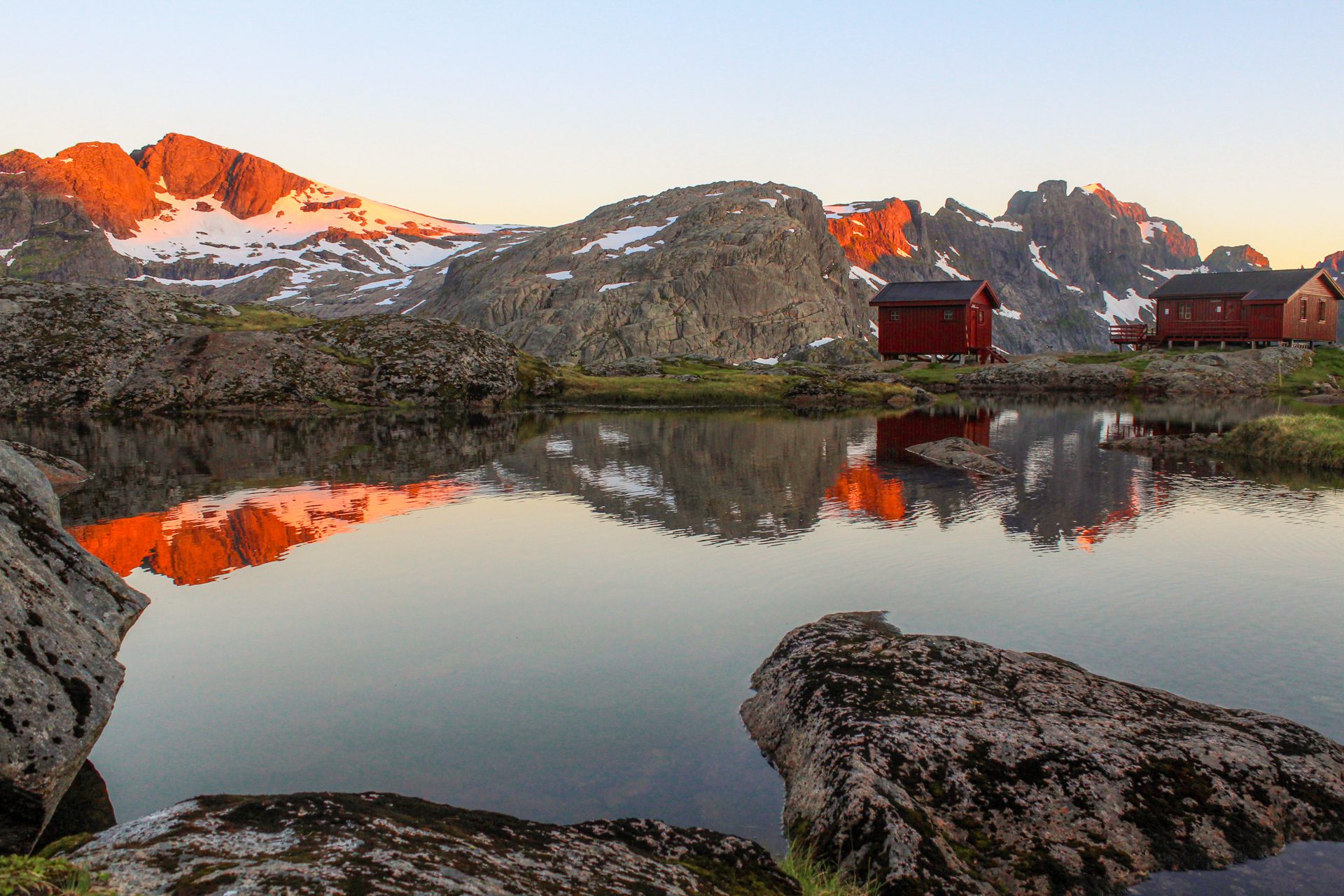
This must-do hike passes by the Munkebu hut, an ideal place to rest or camp, before continuing to the summit, which reveals an incredible 360-degree panorama of the Reinefjord, Forsfjord, and Kjerkfjord.
Map and elevation profile of the hike
Munken Hike
Difficulties of the hike
There are no significant difficulties, except for the route's length and the substantial elevation gain. As is often the case in Lofoten, the trail is not marked. However, it is clearly visible, and you will find a few directional signs.
Please note that the true summit of Munken, the southern peak (797 m), is reserved for experienced climbers; the northern peak presented here is 30 meters lower and does not require technical climbing skills.
What you'll love
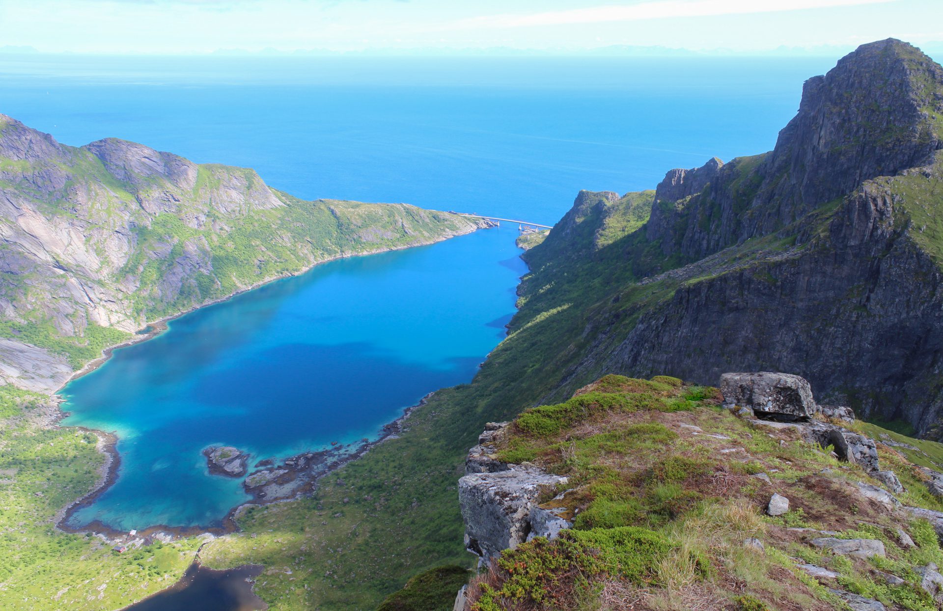
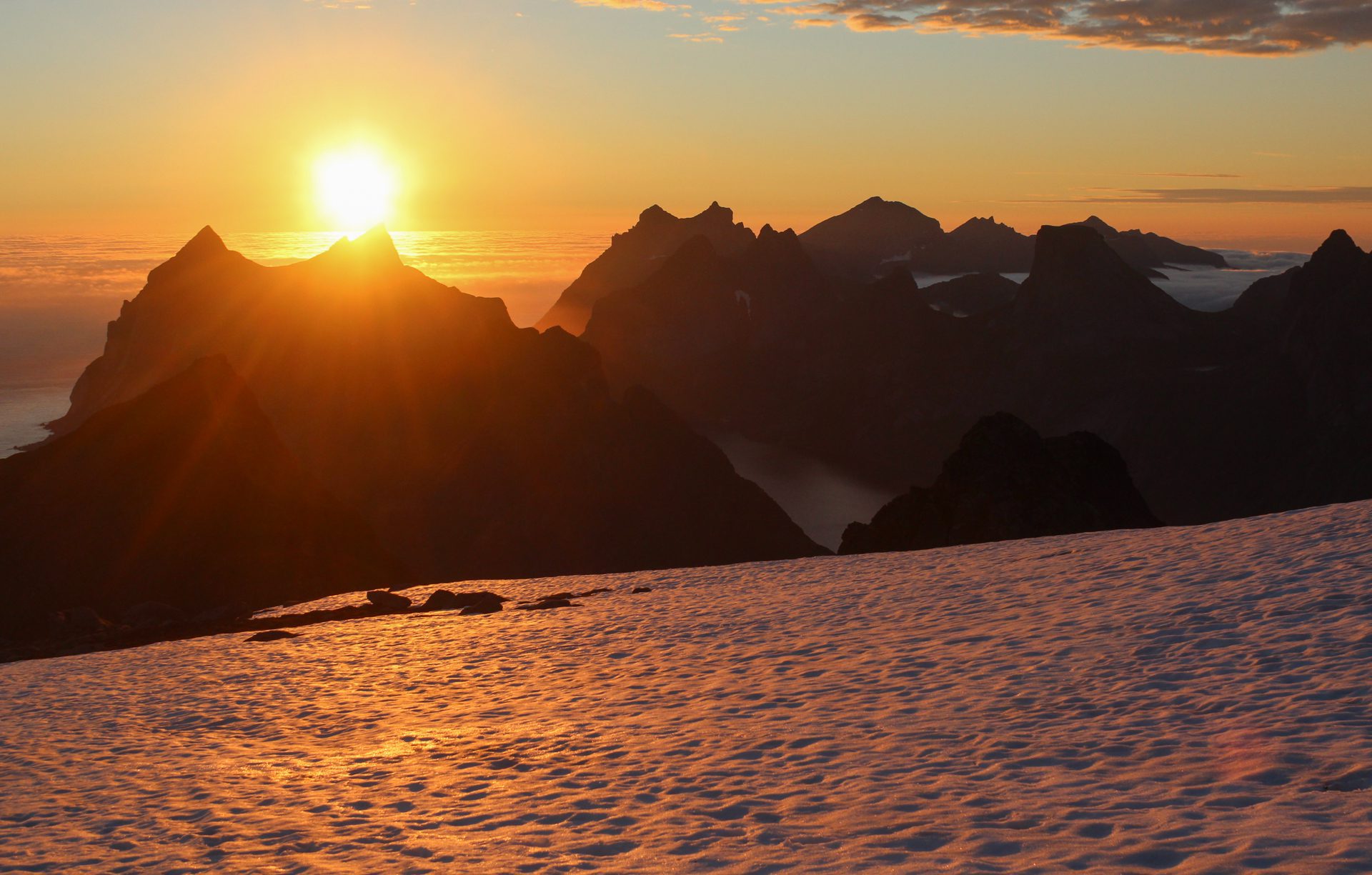
- An exceptional panoramic view from the summit: A 360-degree panorama of the Lofoten archipelago with a bird's-eye view of the fjords, the succession of rocky peaks, and the Arctic Ocean stretching as far as the eye can see.
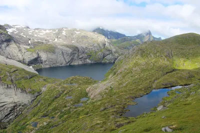
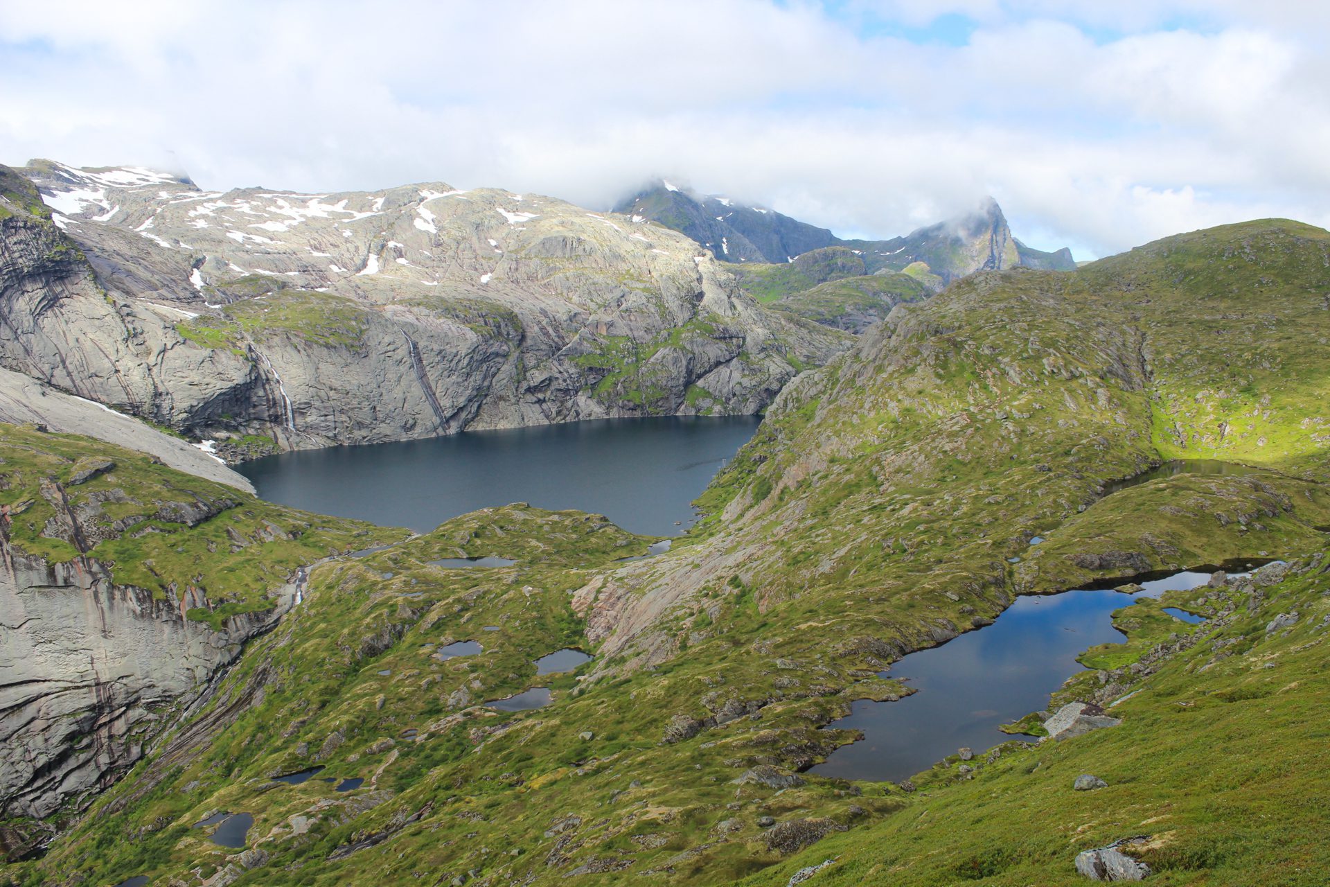
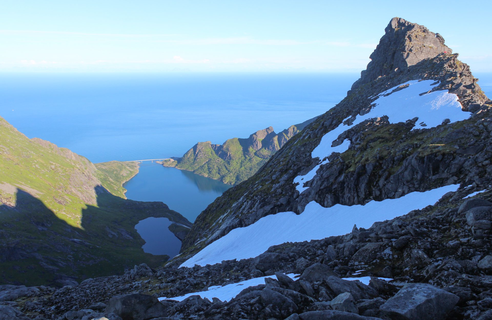
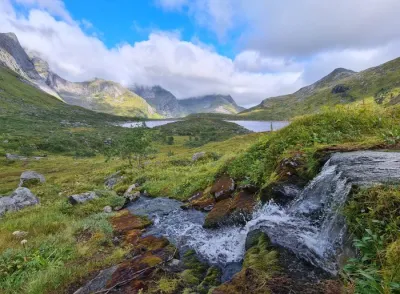
- The impressive succession of lakes with varying shapes and shades of blue along the route.
- Optional detour via Merraflestinden: A magnificent view of Djupfjorden is accessible with only an extra half-hour walk.
- The Munkebu hut is an ideal place to pitch your tent, with drinking water available and magnificent views.
Practical information
Best time to go
Mid-June to September on average. See the Norway FAQ for more details.
Extension
You can extend this hike by climbing Hermannsdalstinden for an unforgettable experience. In this case, the area around the Munkebu huts is an ideal place to camp for a two-day hike.
Photos
See all 16 photos →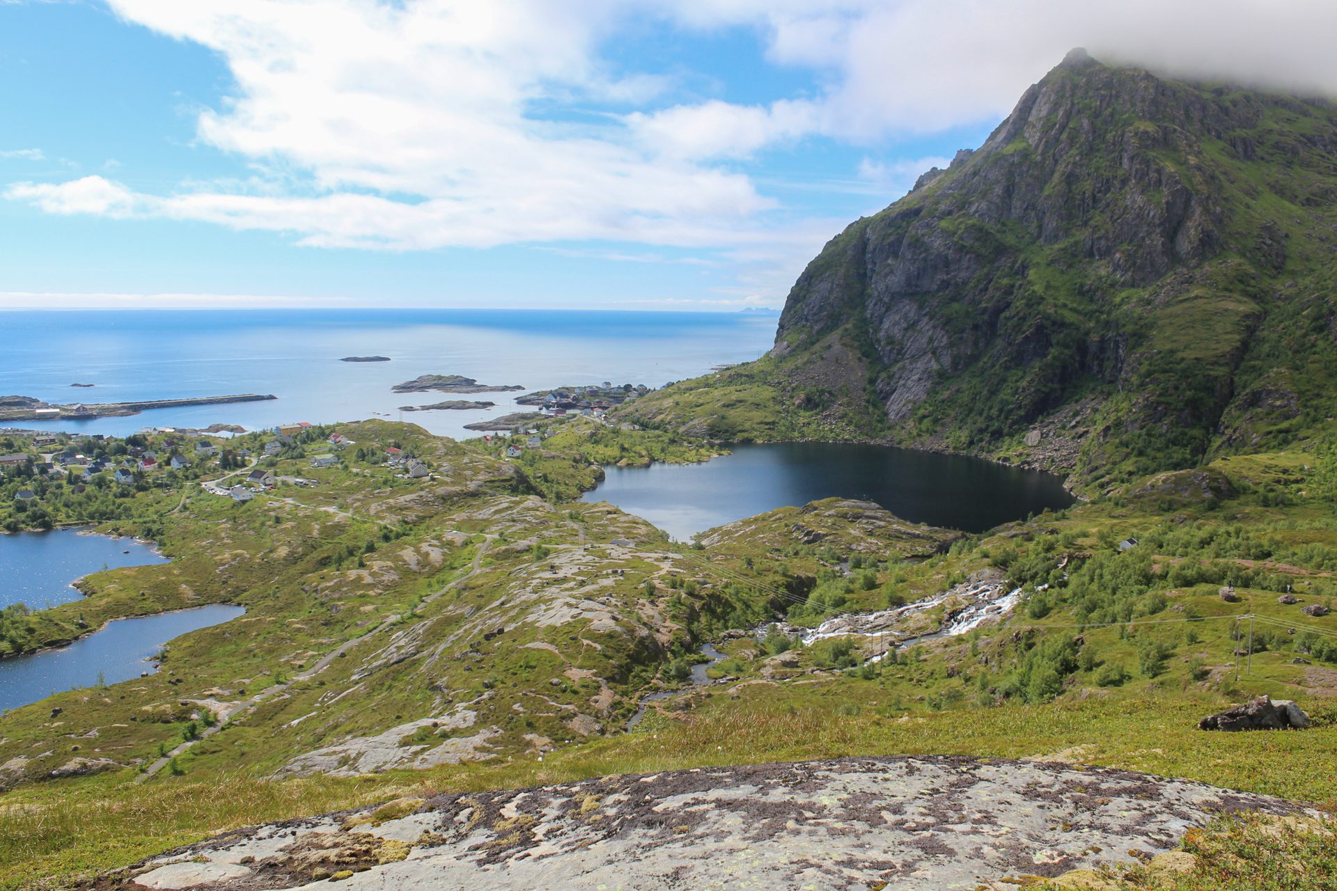
More hikes to do in Norway
Nearby hikes













Printed from www.horizonrando.fr/en/norway/munken/