








Reinebringen Hike
Key facts about the hike
- Difficulty
- Easy Hikes are rated from very easy to very hard: my difficulty scale
- Duration
- 2h45 Estimated time, short breaks included (photos, water, snacks), picnic not included: how it is calculated
- Distance
- 5km
- out and back
- Elevation gain
- 480m
- Type of route
- Out and back
- Maximum altitude
- 484 m
- Vertiginous Five levels, depending on how exposed the route is: the levels in detail
- Slightly
- Marked
- No
- Popularity
- Very high
- Island
- Moskenesøya, Lofoten
- Start point
- 67.91195, 13.07441
- Activity
- Hiking
Hike overview
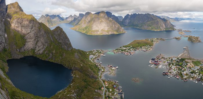
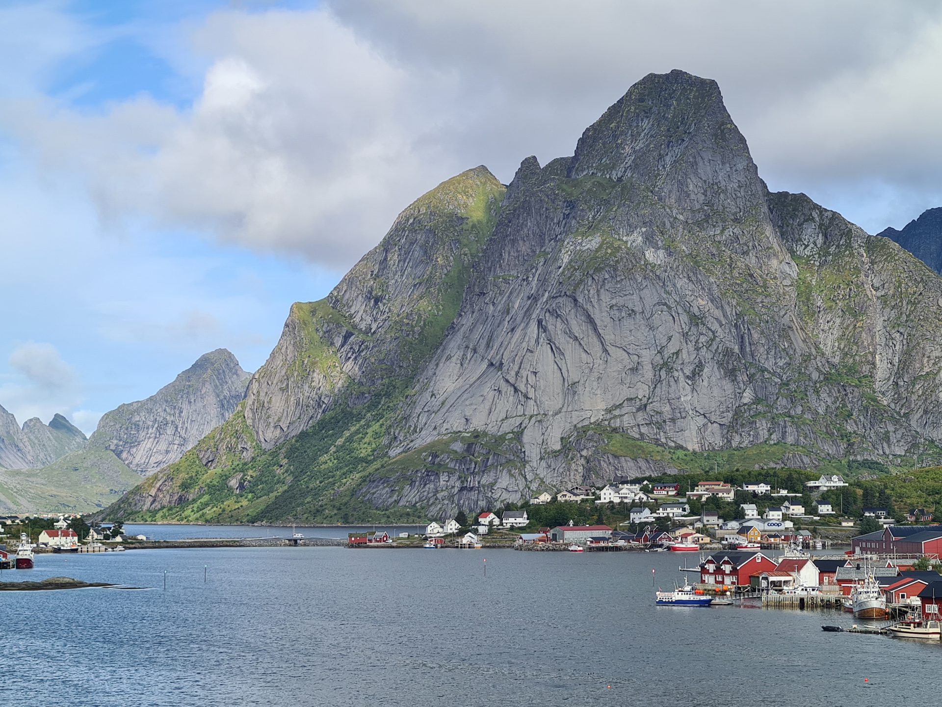
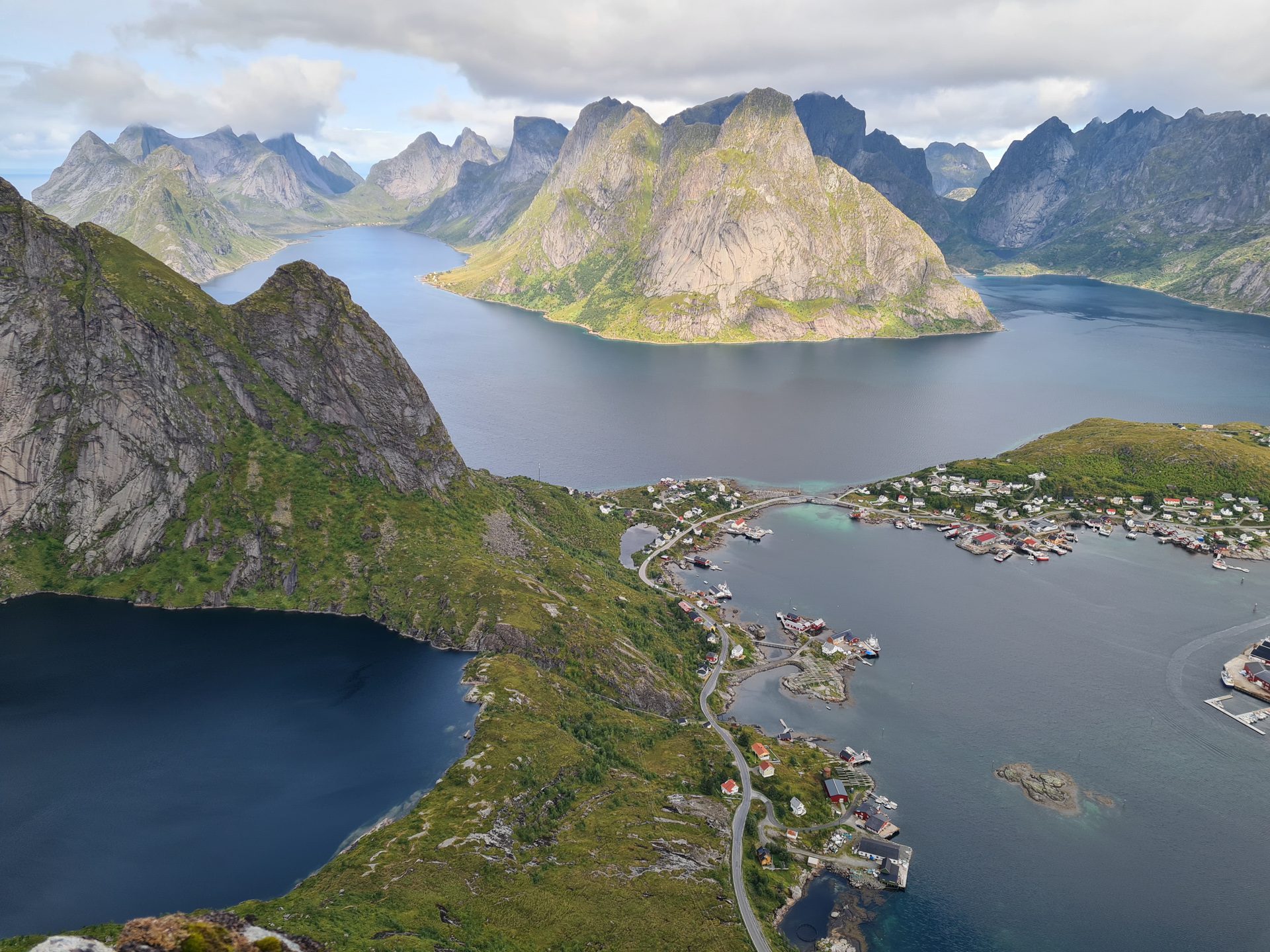
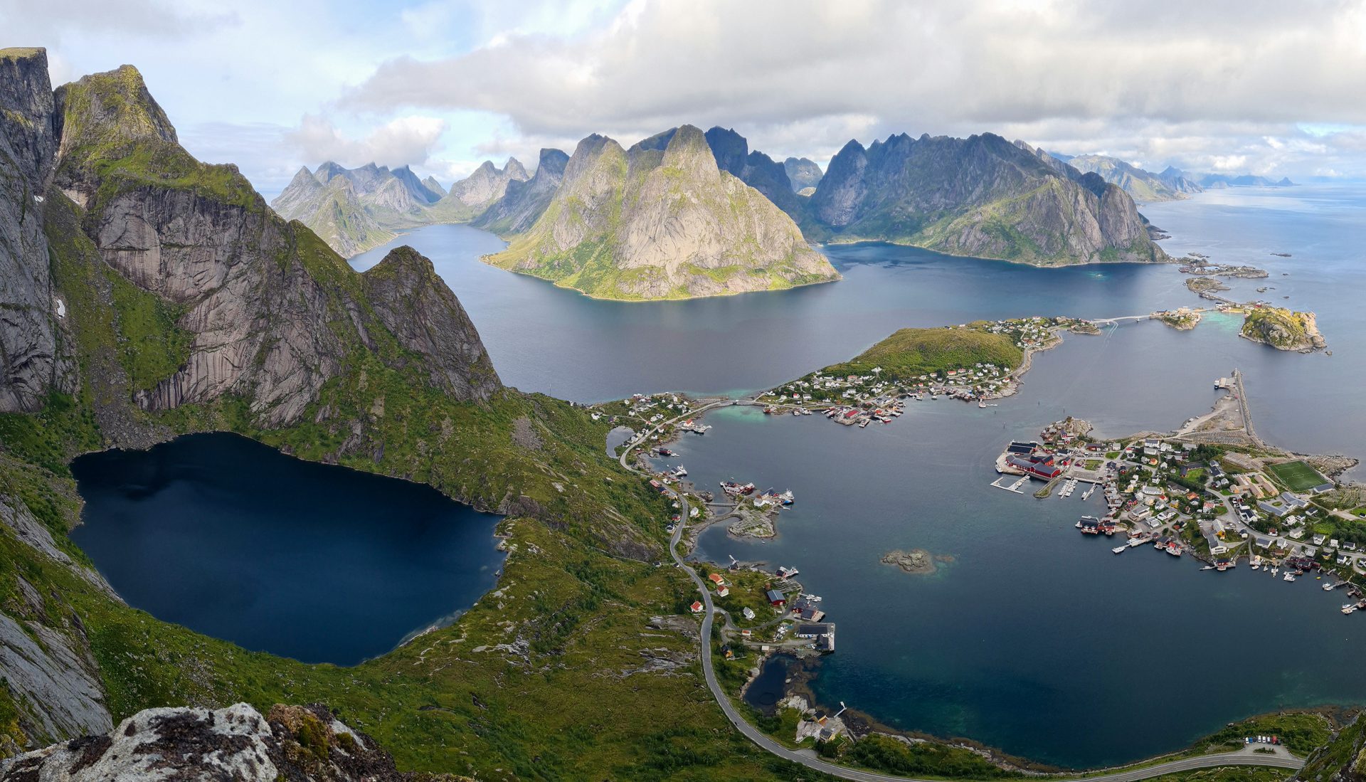
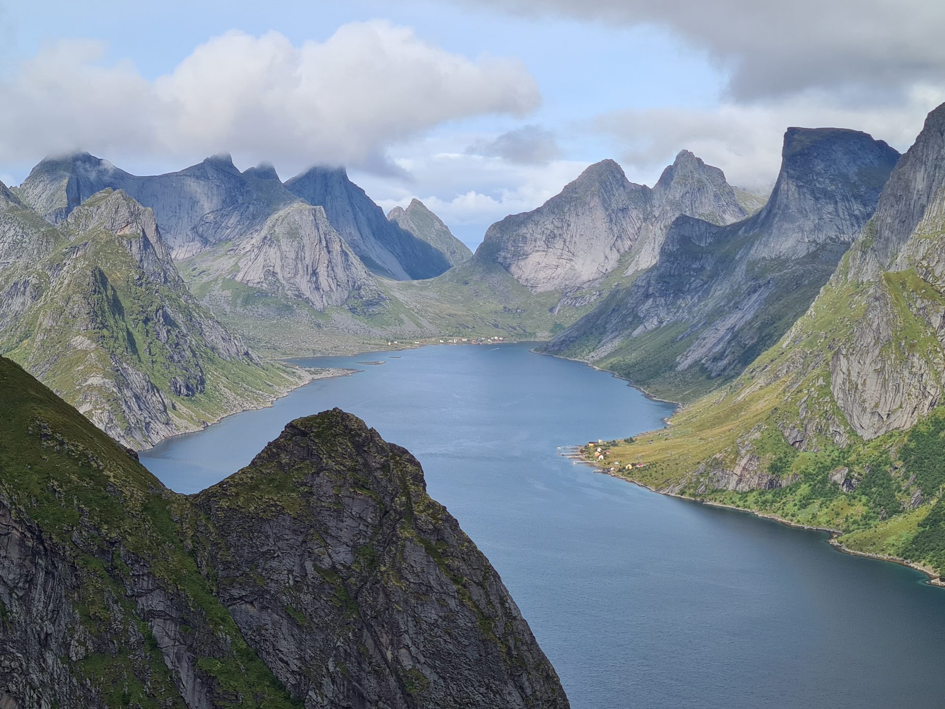
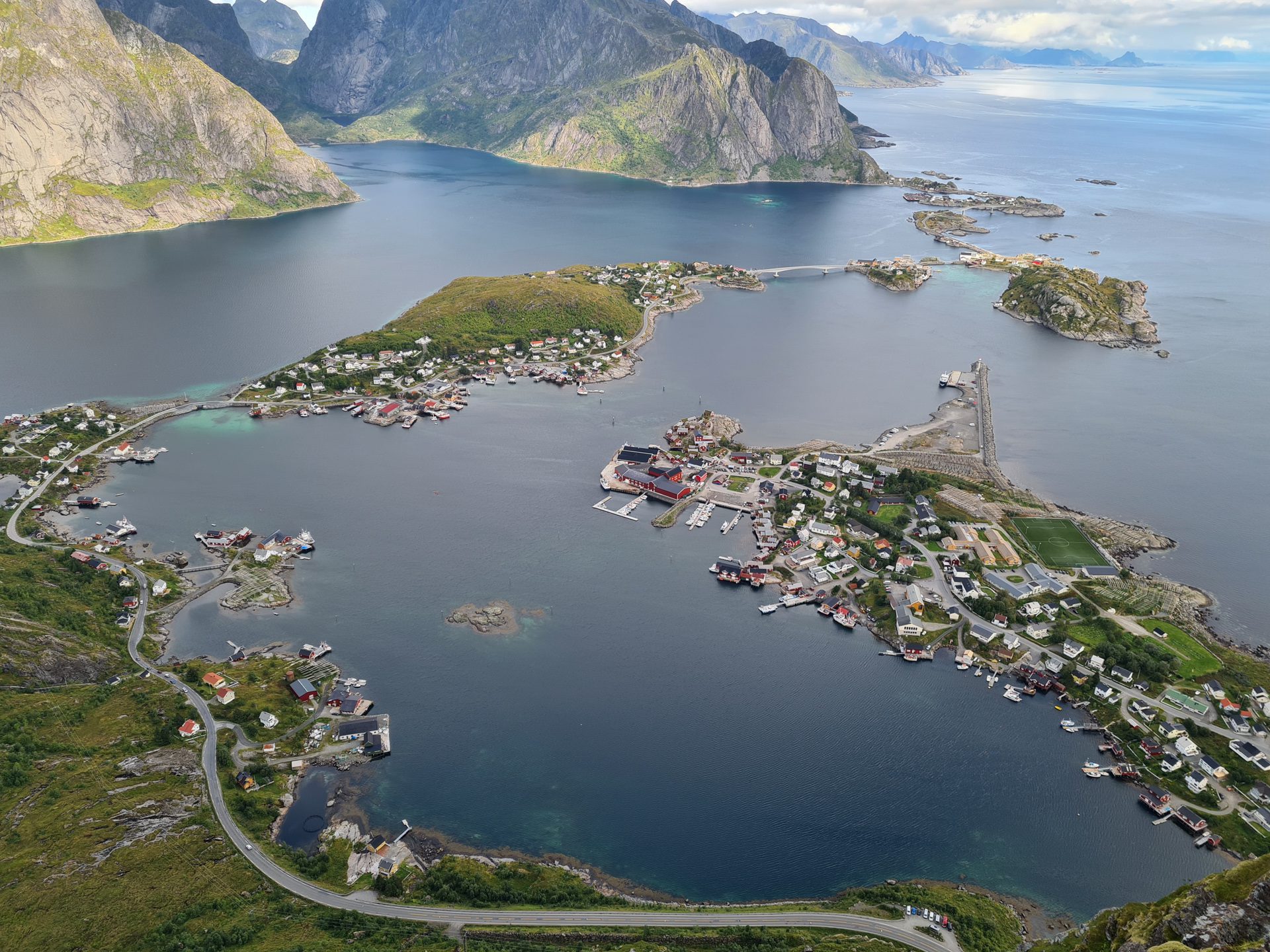
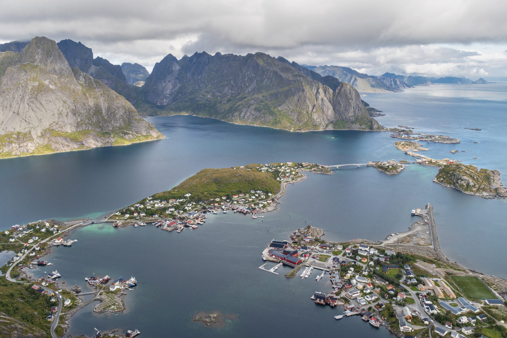
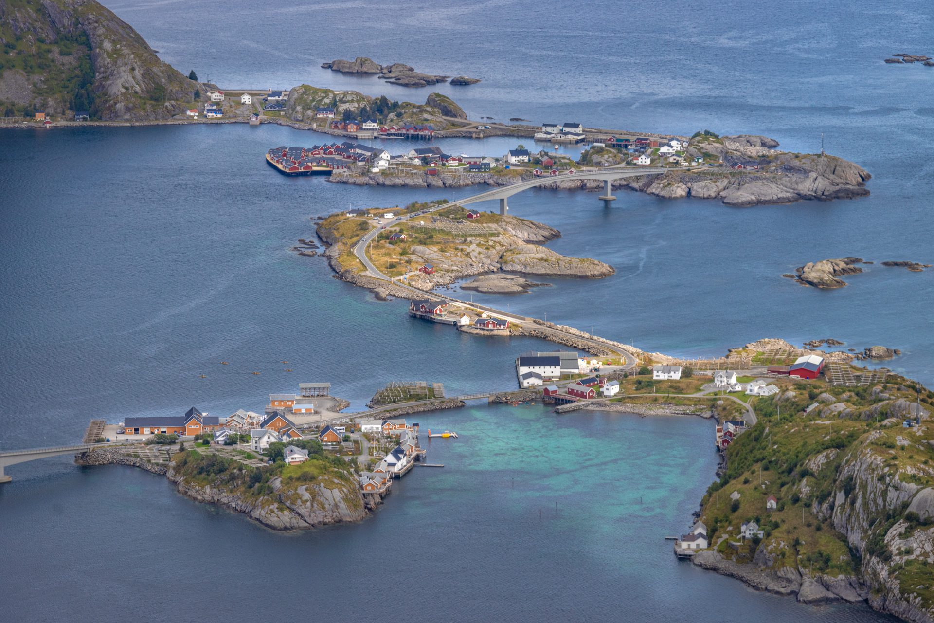
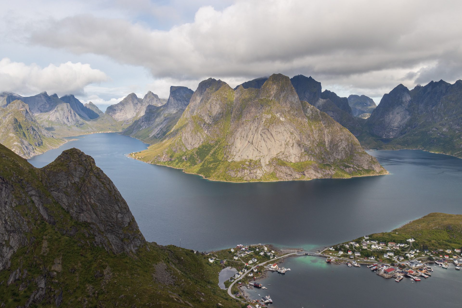
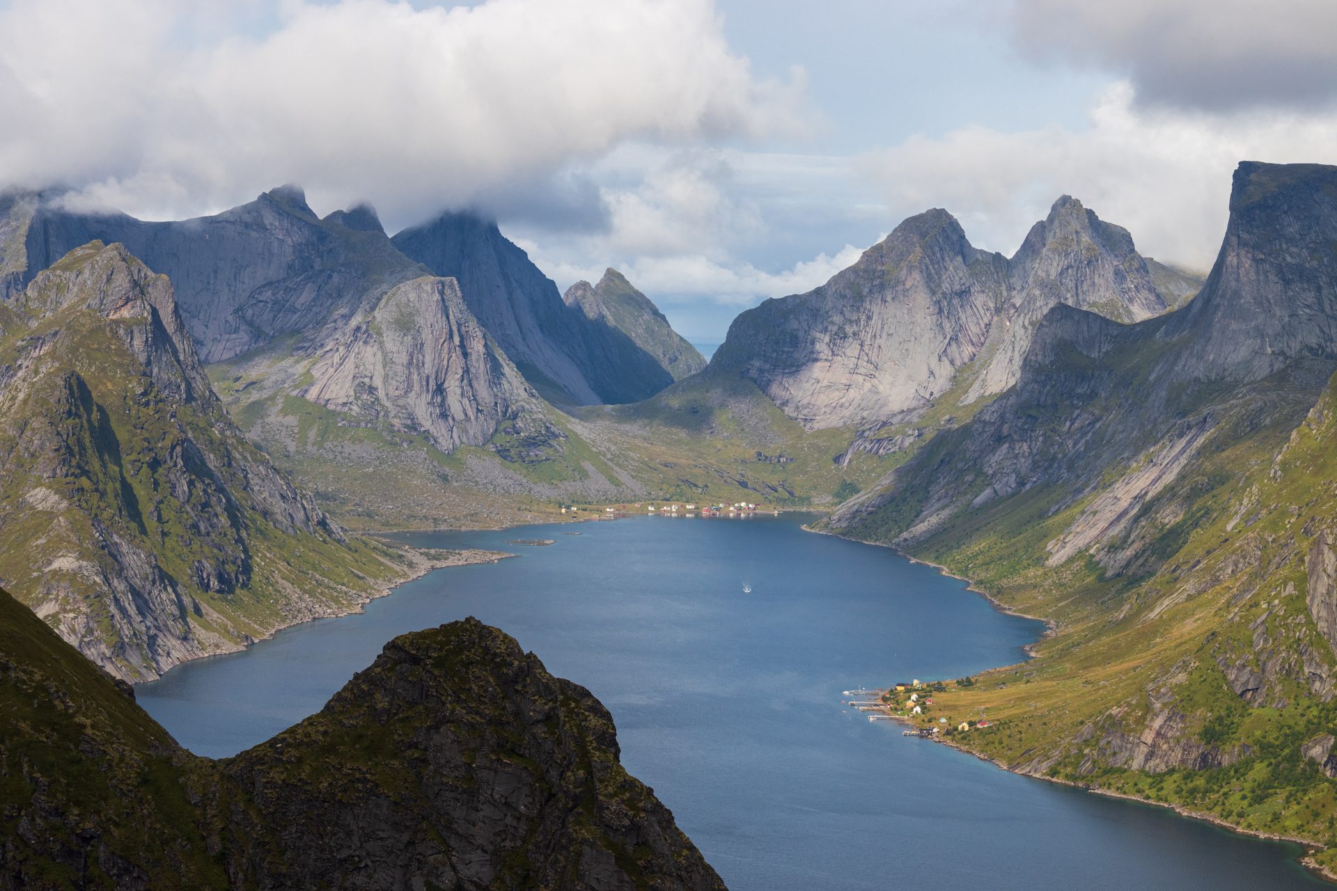
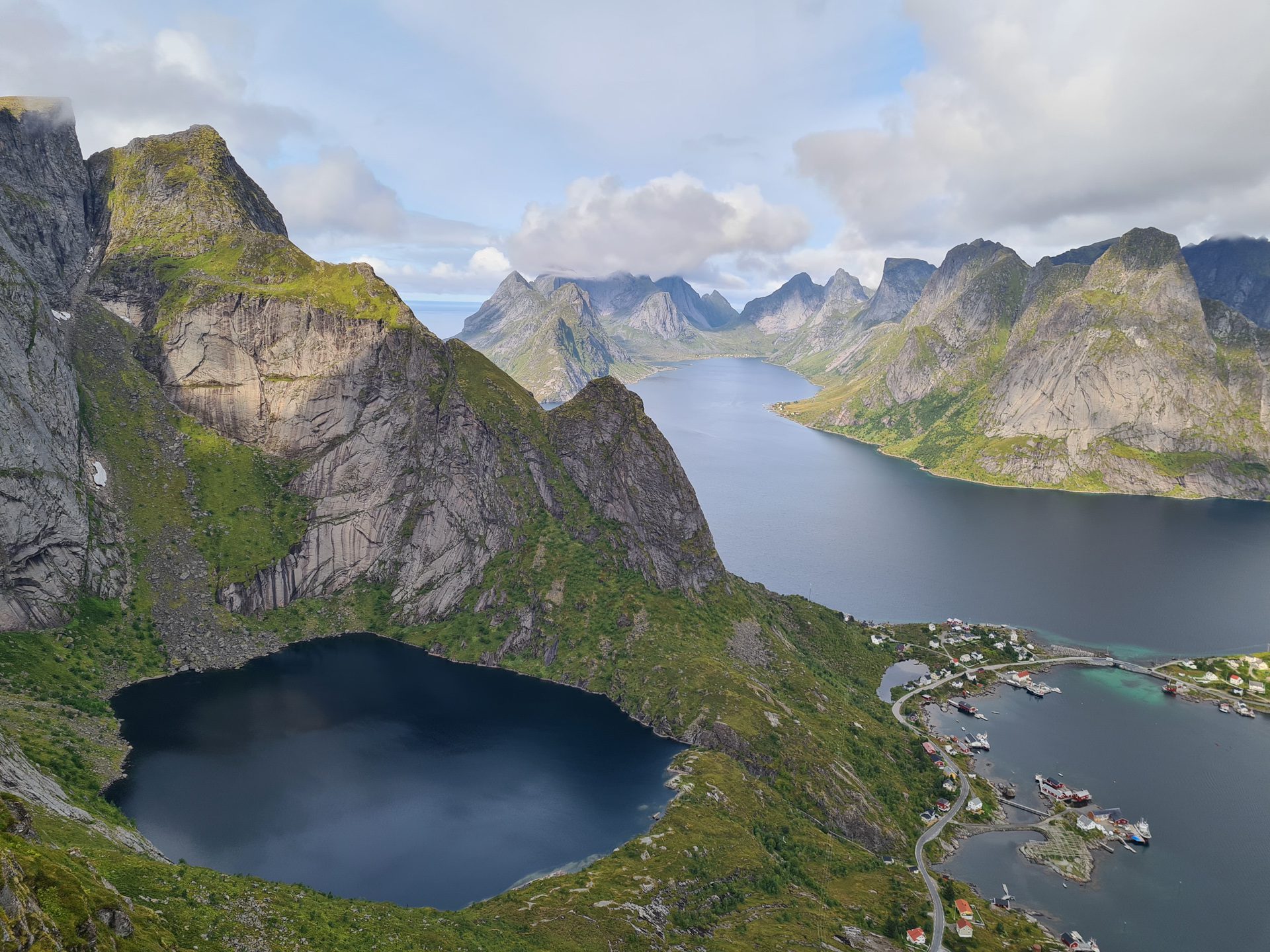
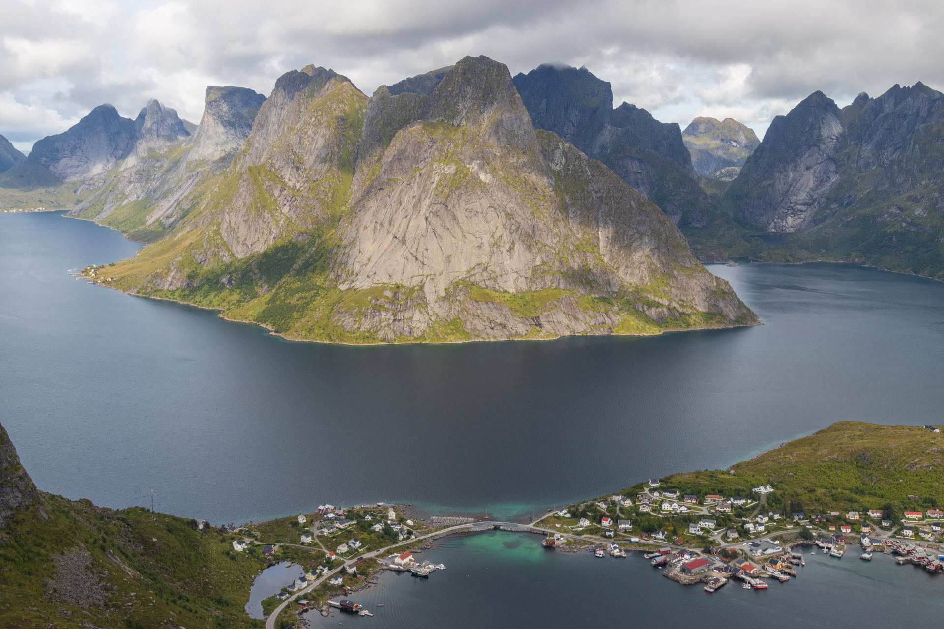
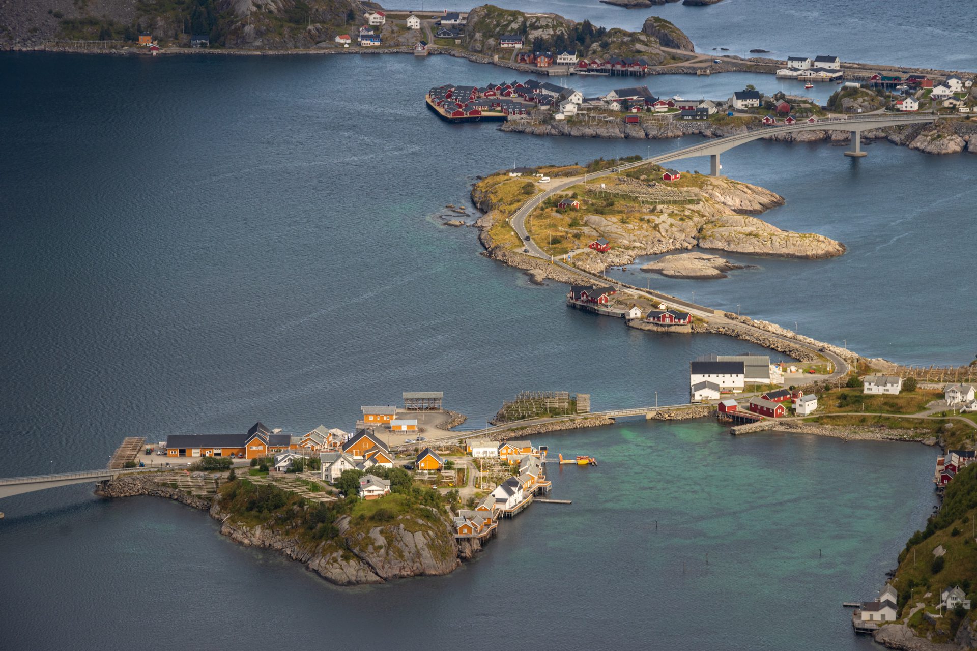
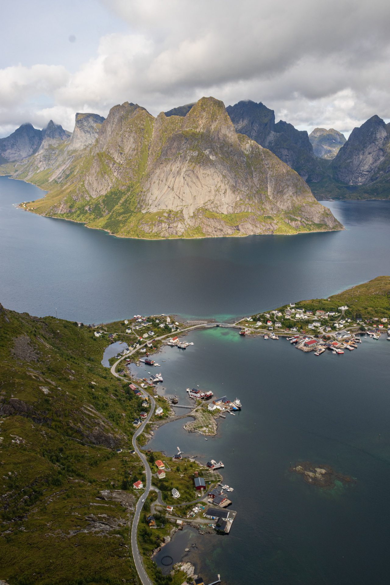
Reinebringen is undoubtedly one of the most popular hikes in the Lofoten Islands, in Norway. From the summit, hikers can enjoy breathtaking views of the village of Reine, the neighboring hamlets of Sakrisøy and Hamnøy, and the islets scattered throughout Reinefjord. This is the iconic image of the Lofoten Islands frequently seen on social media.
Despite the almost constant crowds, the hike is definitely worth it! The reward-to-effort ratio is one of the best in the region! This short, 480-meter climb will take you to one of the most spectacular panoramas in the archipelago.
Map and elevation profile of the hike
Reinebringen Hike
Description and difficulties of the hike
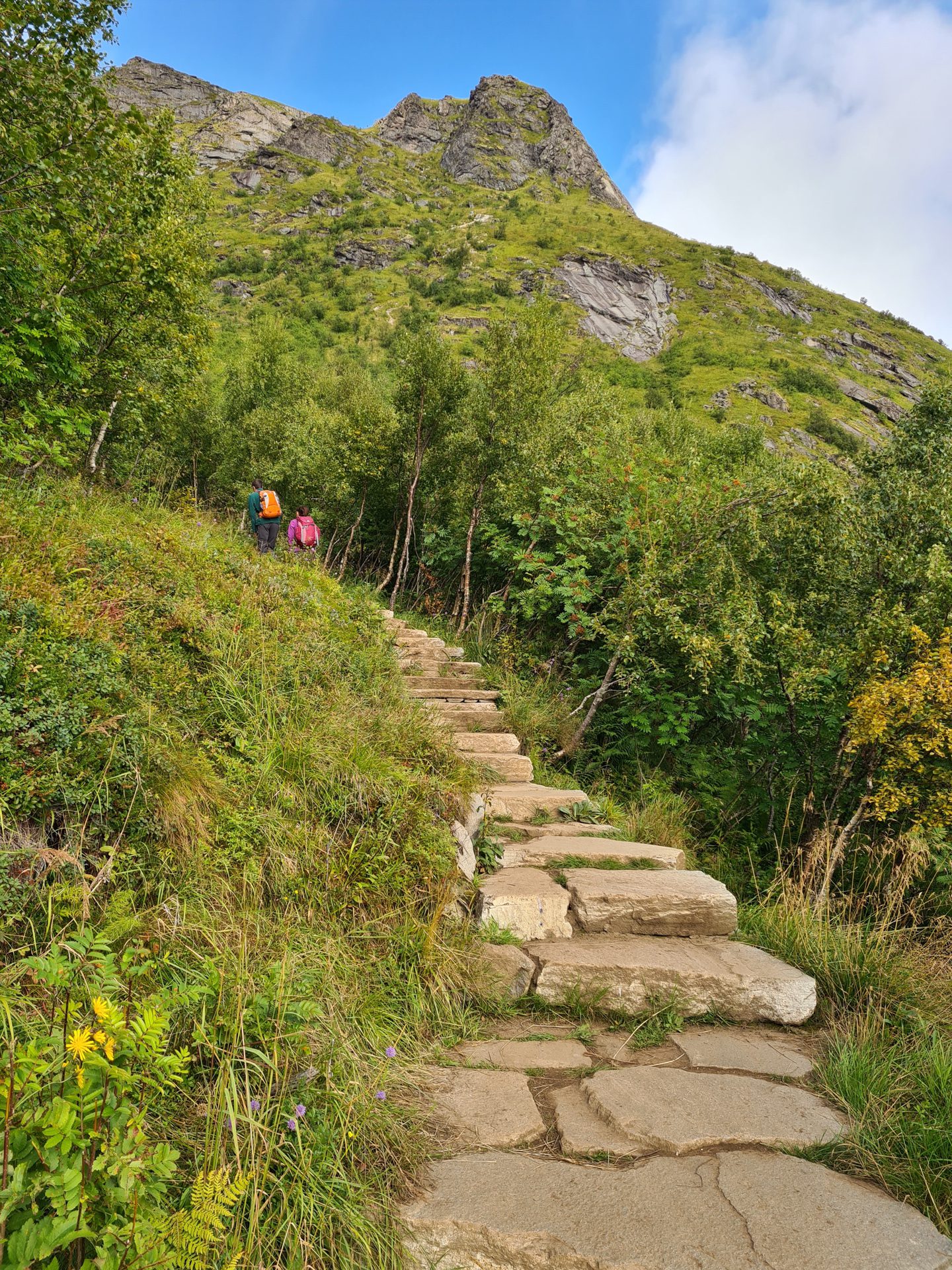
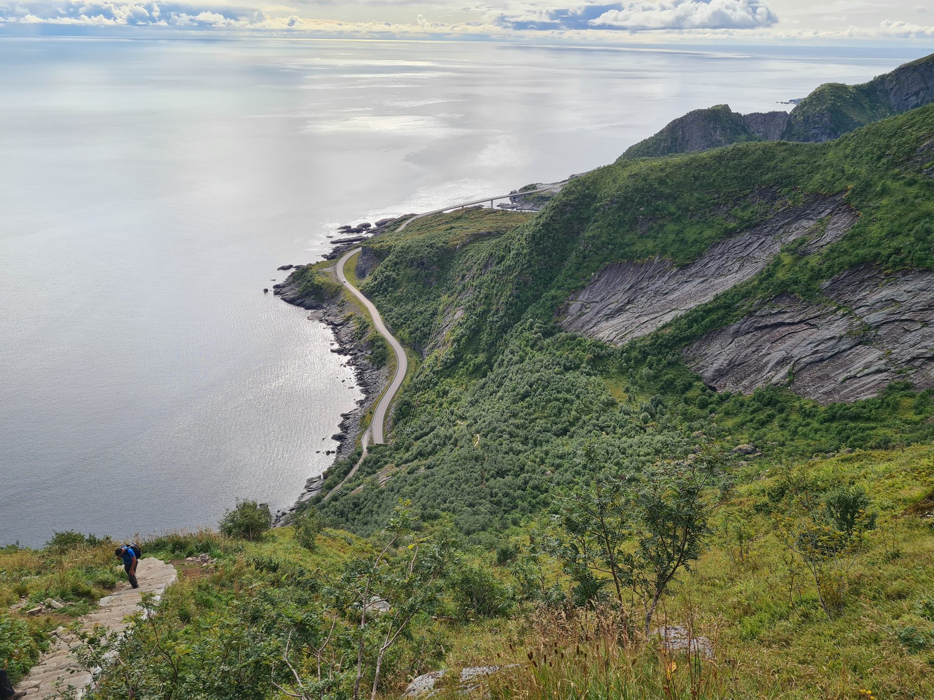
Thanks to improvements made by Nepalese Sherpas between 2016 and 2021, the route presents no technical difficulties. They replaced the original, eroded, and dangerous trail with a stone staircase of nearly 2,000 steps that now stretches almost all the way to the summit.
However, the hike remains physically demanding, with a 480-meter elevation gain over approximately 1.1 kilometers, representing an average gradient of about 45%. The steps are often high, averaging 25 cm and sometimes exceeding that height. While this allows for efficient progress, it places significant strain on the thighs and knees, particularly on the descent.
Access to the trailhead: from the Steffenakken parking lot (marker P1 on the map), cross the bridge over the Djupfjorden, then follow the E10 to the first steps (marker 3 on the map). A trail runs along the other side of the safety barrier for an approach walk of just over one kilometer. From the Reine parking lot (marker P2), cross the village and follow the E10 along a pedestrian path to the steps, for an approach of about 1.5 km.
What you'll love
- The spectacular panorama that suddenly unfolds upon reaching the pass: a bird's-eye view of the village of Reine, its colorful cabins, and the turquoise waters of the Reinefjord.
- The efficiency of the route: The effort-to-reward ratio is hard to beat. In less than an hour and a half, you reach one of the most beautiful viewpoints in the Lofoten Islands.
- The remarkable stone staircase, which makes the climb more accessible than before, despite the steep slope.
Practical information
Parking
Two main options.
- Steffenakken Parking Lot (marked P1 on the map, free, 4-hour limit): located just past the Djupfjorden Bridge on the E10, this is the closest to the trailhead, but its capacity is limited (approximately 20 to 30 spaces).
- Reine Parking Lot (marked P2, paid): the Reine Ytre Havn (outer harbor) parking lot, with an indicative rate of 40 NOK/hour in 2026, offers significantly more capacity.
Best time to go
Mid-May to mid-October on average. See the Norway FAQ for more details.
Alternative route for experienced hikers
If you are looking for wilder routes and are in good physical condition, I recommend the Helvete hike. Although it is more demanding, it offers even more spectacular and diverse views.
Please note
If you're starting from P1 (Steffenakken parking lot), you can use the "GPX" and "Directions" buttons on this page. If you're starting from P2 (Reine parking lot), download the route tailored for this starting point via this GPX link, and use this Google Maps link to get to P2.
Frequently asked questions
Is Reinebringen suitable for children and occasional hikers?
Yes in most cases, as the hike is technically easy. It simply involves climbing a long stone staircase. However, it can be physically demanding for those unaccustomed to exertion, as the ascent is steep and continuous. Numerous benches are nevertheless placed along the route for breaks.
My advice: move at your own speed, without pushing too hard. This is not a race, and everyone progresses at their own speed. If you have young children, stay vigilant at the summit in case of strong winds, and do not approach the edge of the cliff.
What is the best time of day to climb Reinebringen?
From late May to mid-July, the best time is without question the midnight sun: perfect grazing light over the Reinefjord and very few people.
Outside of this period, the early morning (before 8 a.m.) offers the best compromise with low attendance and beautiful light on the peaks and villages (Olstinden, Hamnøy, Sakrisøy, etc.).
However, avoid the 10 a.m.–6 p.m. window in summer, which is marked by heavy traffic.
Outside of this period, the early morning (before 8 a.m.) offers the best compromise with low attendance and beautiful light on the peaks and villages (Olstinden, Hamnøy, Sakrisøy, etc.).
However, avoid the 10 a.m.–6 p.m. window in summer, which is marked by heavy traffic.
Is Reinebringen accessible in winter?
No, the ascent is strongly discouraged from mid-November to mid-April. During this time, the hike poses real dangers due to the risk of avalanches and rockfalls, and the steps may be icy and slippery.
On the other hand, the trail can be hiked without difficulty from mid-May to mid-October.
During the shoulder seasons at the beginning or end of this period, ask the locals about the state of the trail before setting out. Do not hesitate to turn back if you encounter difficulties.
On the other hand, the trail can be hiked without difficulty from mid-May to mid-October.
During the shoulder seasons at the beginning or end of this period, ask the locals about the state of the trail before setting out. Do not hesitate to turn back if you encounter difficulties.
Can you bivouac at the summit?
Although nothing formally prohibits it under the Norwegian Allemannsretten, it is strongly discouraged. The summit is narrow and steep with no flat space for pitching a tent. It remains busy at night in the summer due to the midnight sun.
For a bivouac in the area, it is better to aim for more suitable spots, such as the Helvete summit, or the Bunes or Kvalvika beaches.
How long does the climb really take?
This sheet indicates 2 h 45, which corresponds to the time for an "average" hiker. A sign at the start of the trail mentions a range of 2 to 4 hours to complete the hike, reflecting the significant variability observed depending on one's fitness level.
Someone in good physical condition can reach the summit in 45 minutes to an hour and descend in 30 to 45 minutes. On the other hand, a less athletic visitor may take two hours to ascend, with a descent sometimes taking just as long.
Someone in good physical condition can reach the summit in 45 minutes to an hour and descend in 30 to 45 minutes. On the other hand, a less athletic visitor may take two hours to ascend, with a descent sometimes taking just as long.
Is the trail marked?
No, but that doesn't matter: the stone staircase forms an obvious route, impossible to miss.
Photos
See all 17 photos →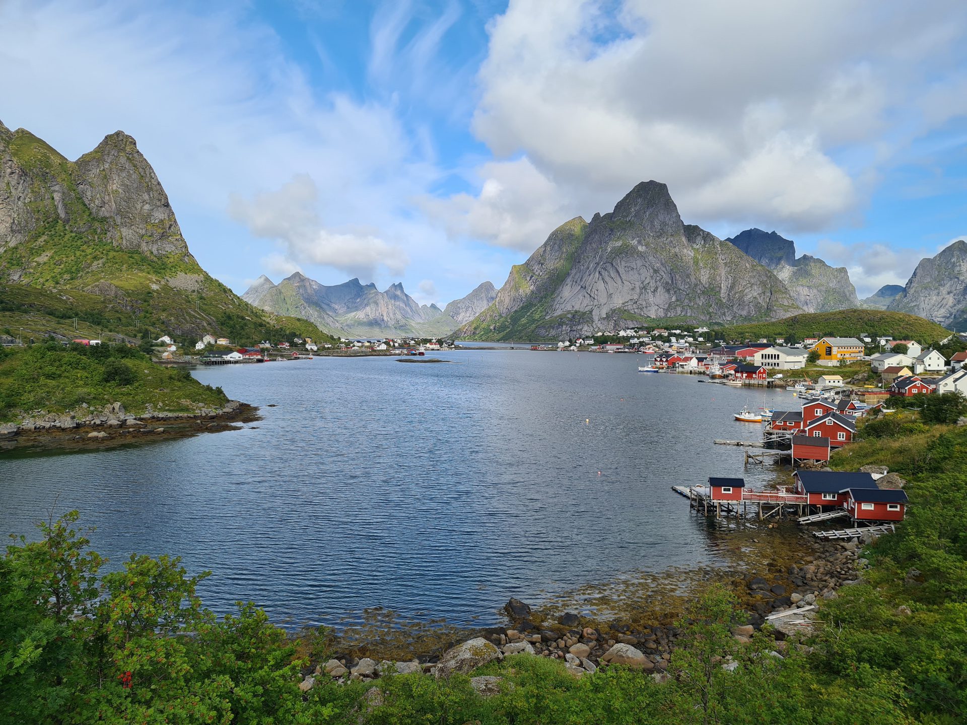

More hikes to do in Norway
Nearby hikes























Printed from www.horizonrando.fr/en/norway/reinebringen/