





Branntuva Hike
Key facts about the hike
- Difficulty
- Hard Hikes are rated from very easy to very hard: my difficulty scale
- Duration
- 6h Estimated time, short breaks included (photos, water, snacks), picnic not included: how it is calculated
- Distance
- 13.1km
- out and back
- Elevation gain
- 820m
- Type of route
- Out and back
- Maximum altitude
- 701 m
- Vertiginous Five levels, depending on how exposed the route is: the levels in detail
- Slightly
- Marked
- No
- Popularity
- Very low
- Island
- Moskenesøya, Lofoten
- Start point
- 68.03658, 13.08211
- Activity
- Hiking
Hike overview
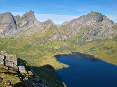
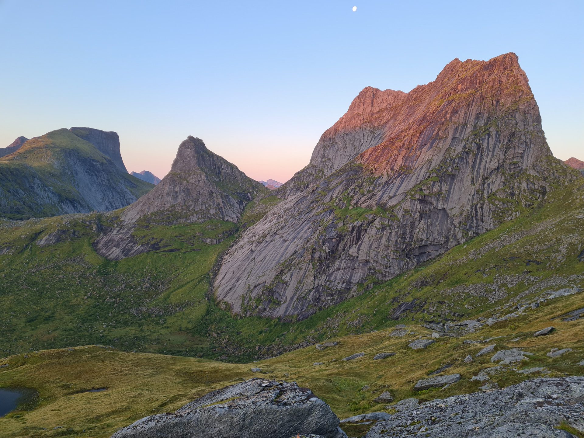
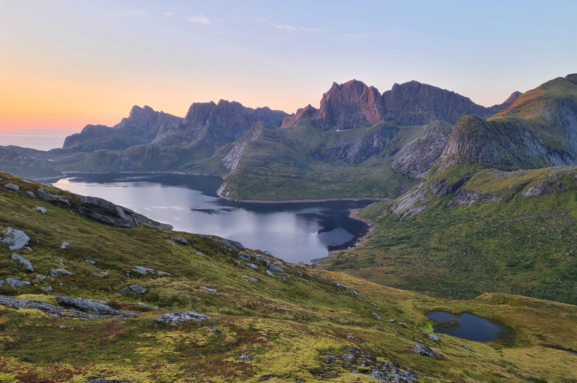
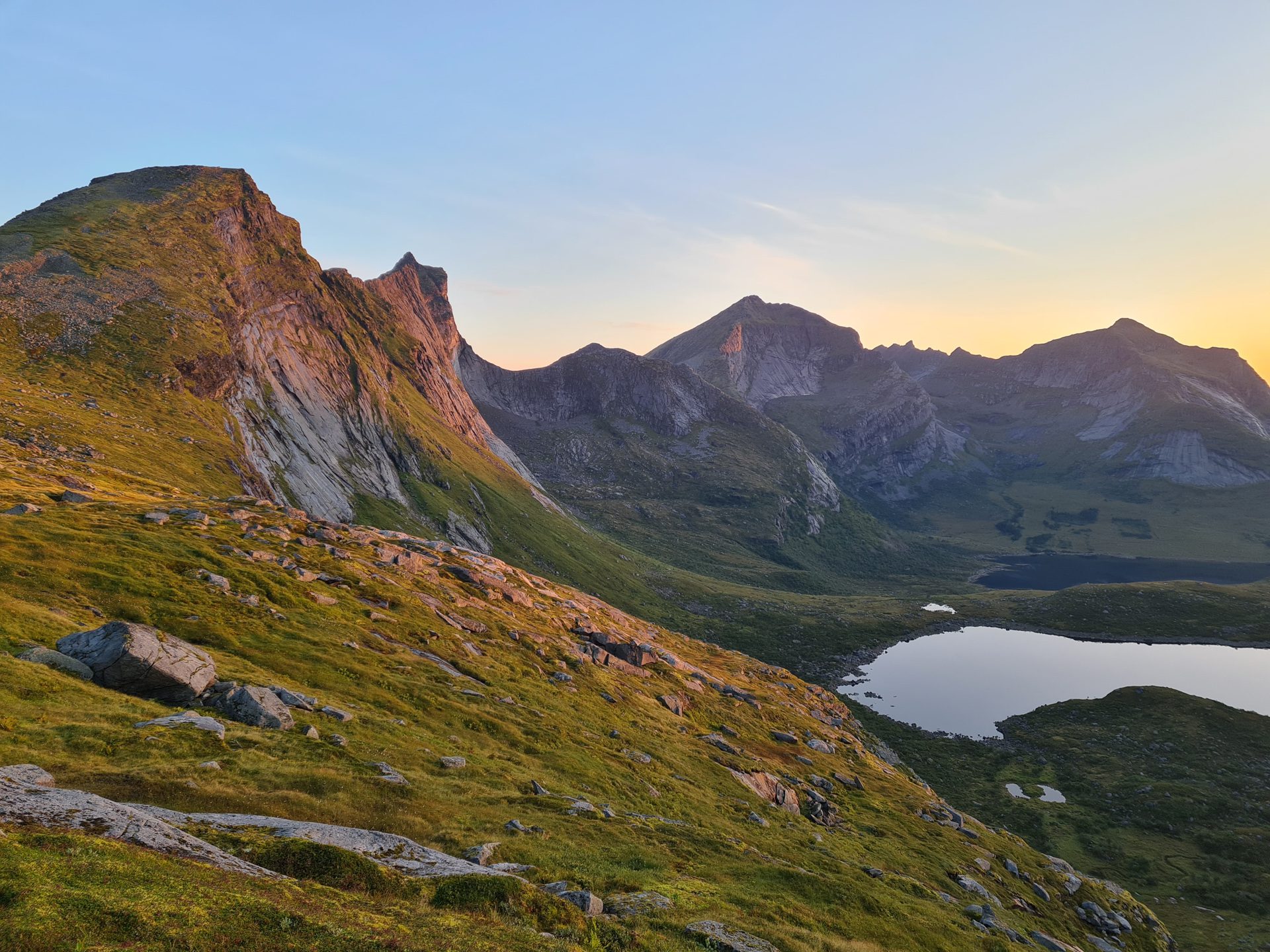
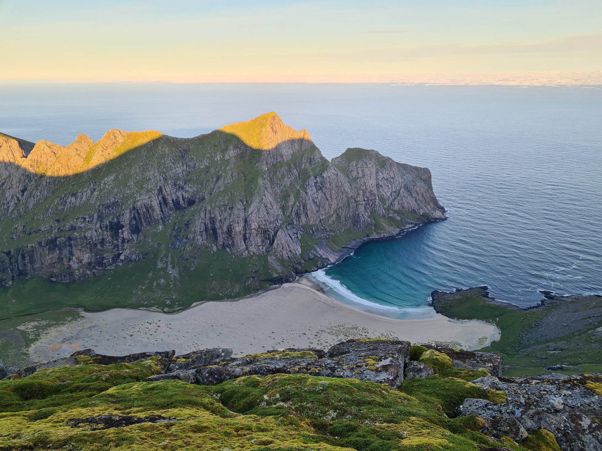
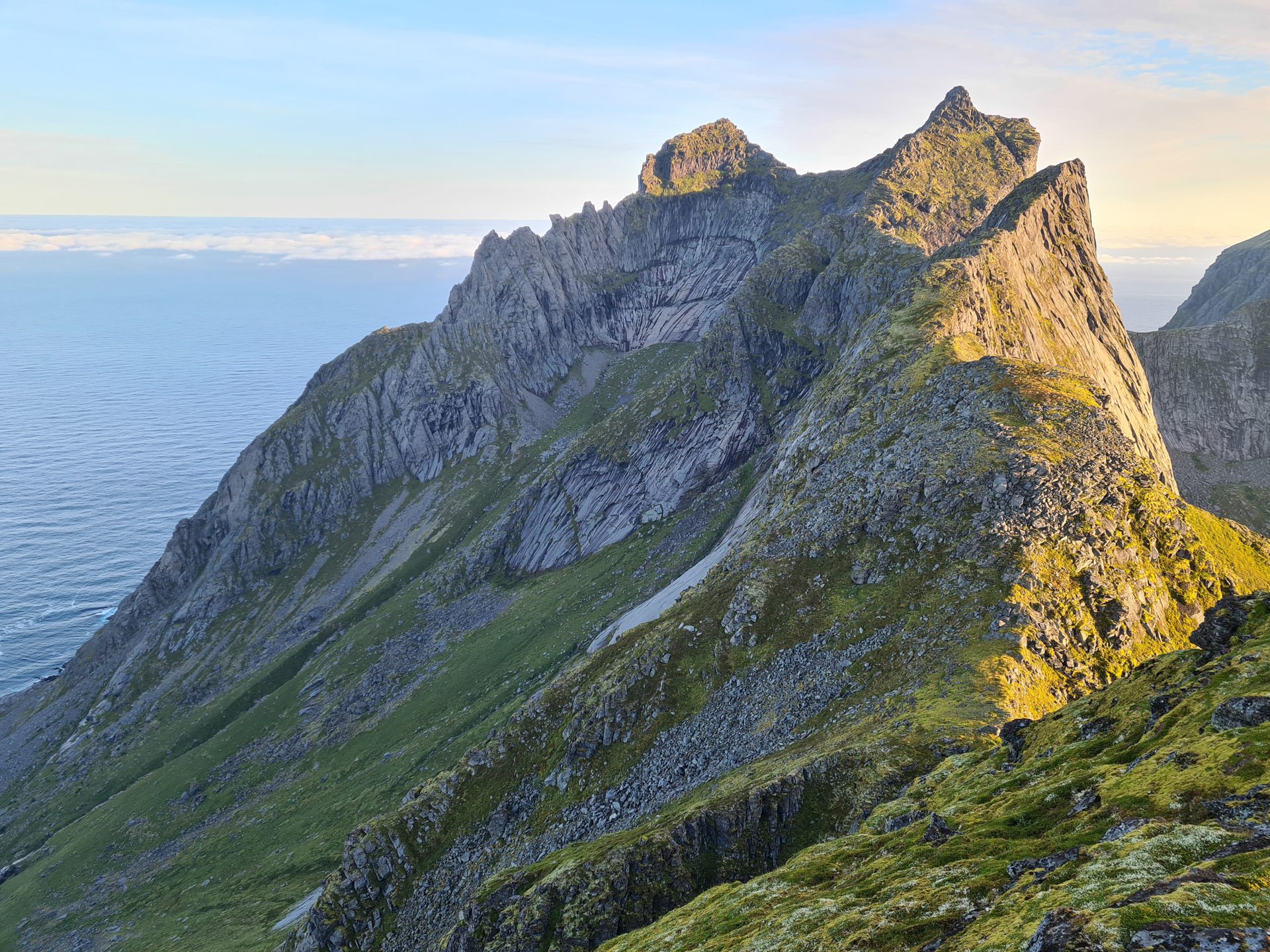
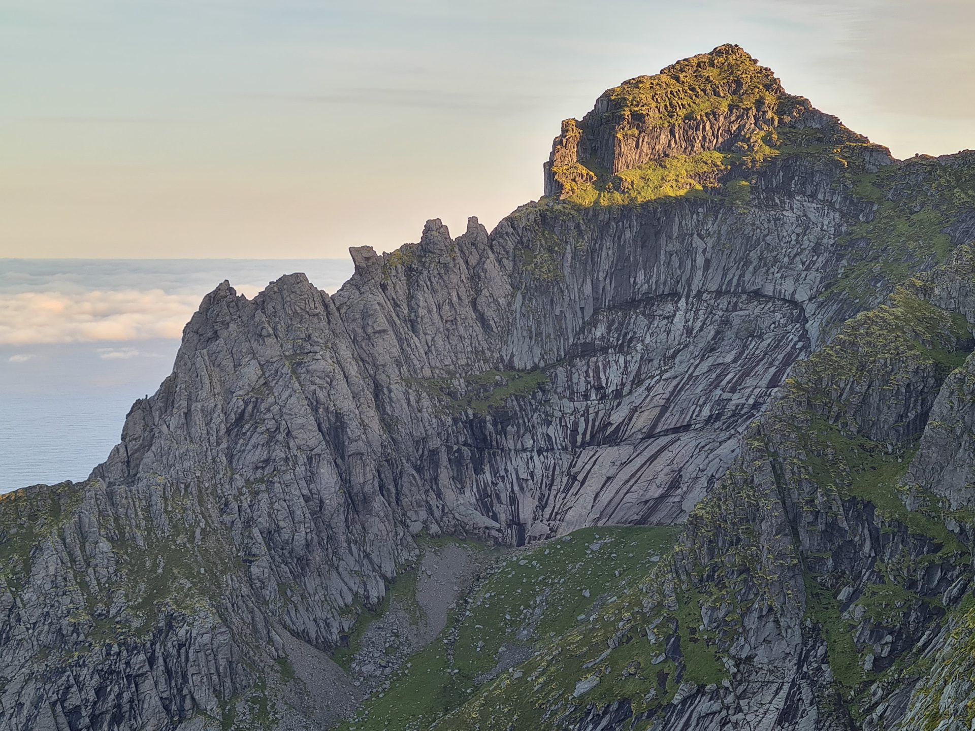
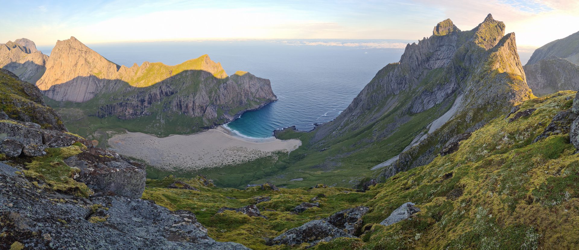
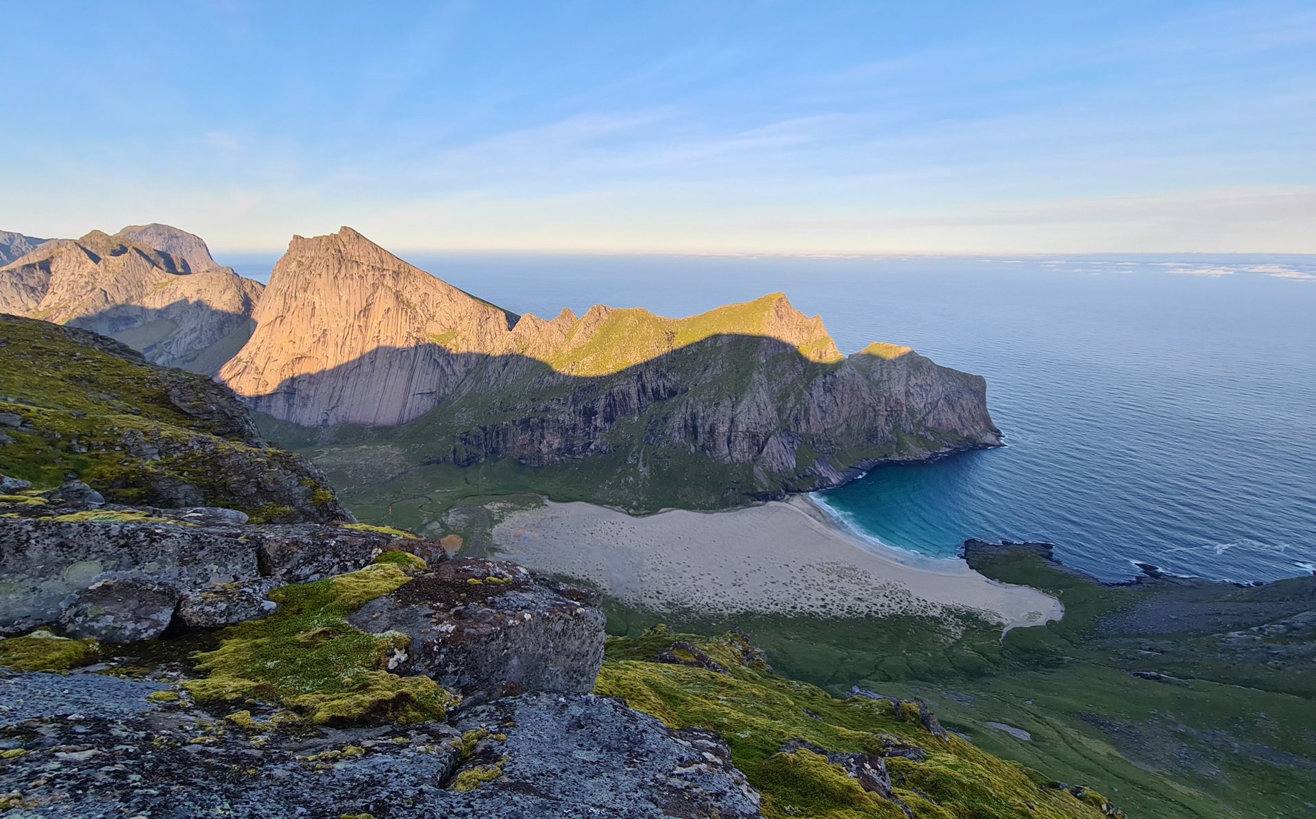
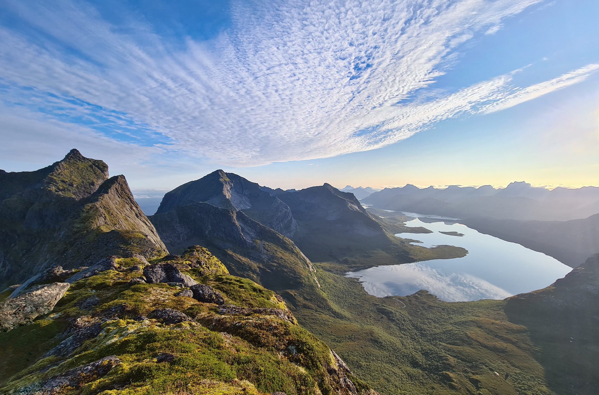
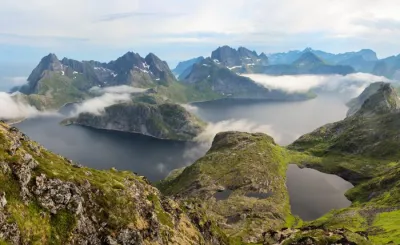
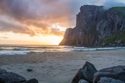
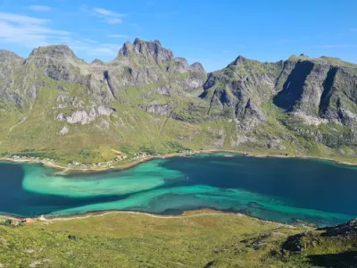
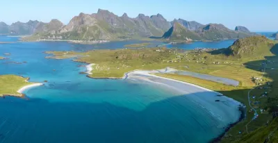
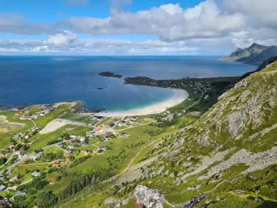
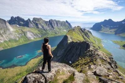
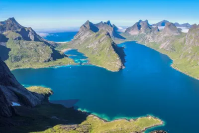
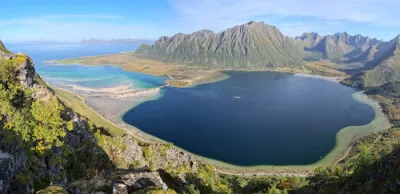
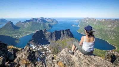
The Branntuva hike takes you to the summit of a rarely visited mountain on Moskenesøya Island in the Lofoten archipelago. This 701-meter peak offers spectacular views of beautiful Horseid Beach to the west, as well as impressive panoramas of Selfjord and the rugged terrain surrounding it. Located along the Great Lofoten Crossing route, this hike takes you through raw, unspoiled landscapes far from the beaten path.
Map and elevation profile of the hike
Branntuva Hike
Description and difficulties of the hike
The ascent of Branntuva is challenging due to the terrain and orientation. The first part of the route follows a well-defined trail. However, the second part (about a third of the hike) is completely off-trail. Do not underestimate the length of the hike, as it is physically demanding. You will encounter constant ascents and descents, passages over large rocks and through shrubs, as well as slippery ground in places.
From the Fageråskaret pass, there is no trail to the summit. Head northwest on the mountainside, planning your route so you pass just below the large scree slopes at the foot of Branntuva. The final climb is steep, so avoid the screes as much as possible. You can bypass almost all of them to limit the effort.
What you'll love
- An exceptional 360-degree view from the summit: admire the impressive panorama of the rugged terrain of Moskenesøya Island and the bird's-eye view of Horseid Beach, one of the most beautiful beaches in Lofoten.
- Tranquility and authenticity: enjoy a rarely visited summit, ideal for an authentic mountain experience in Lofoten.
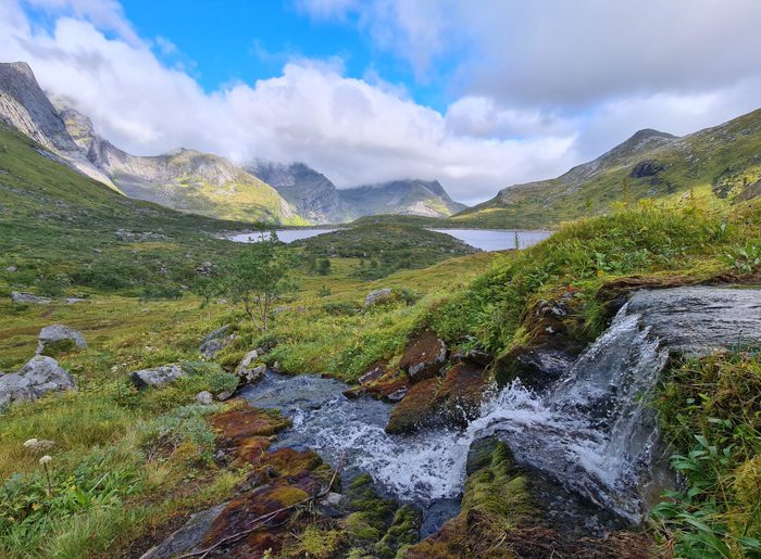
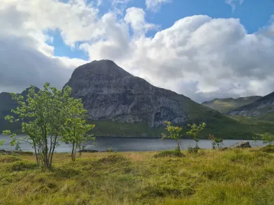
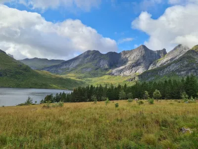
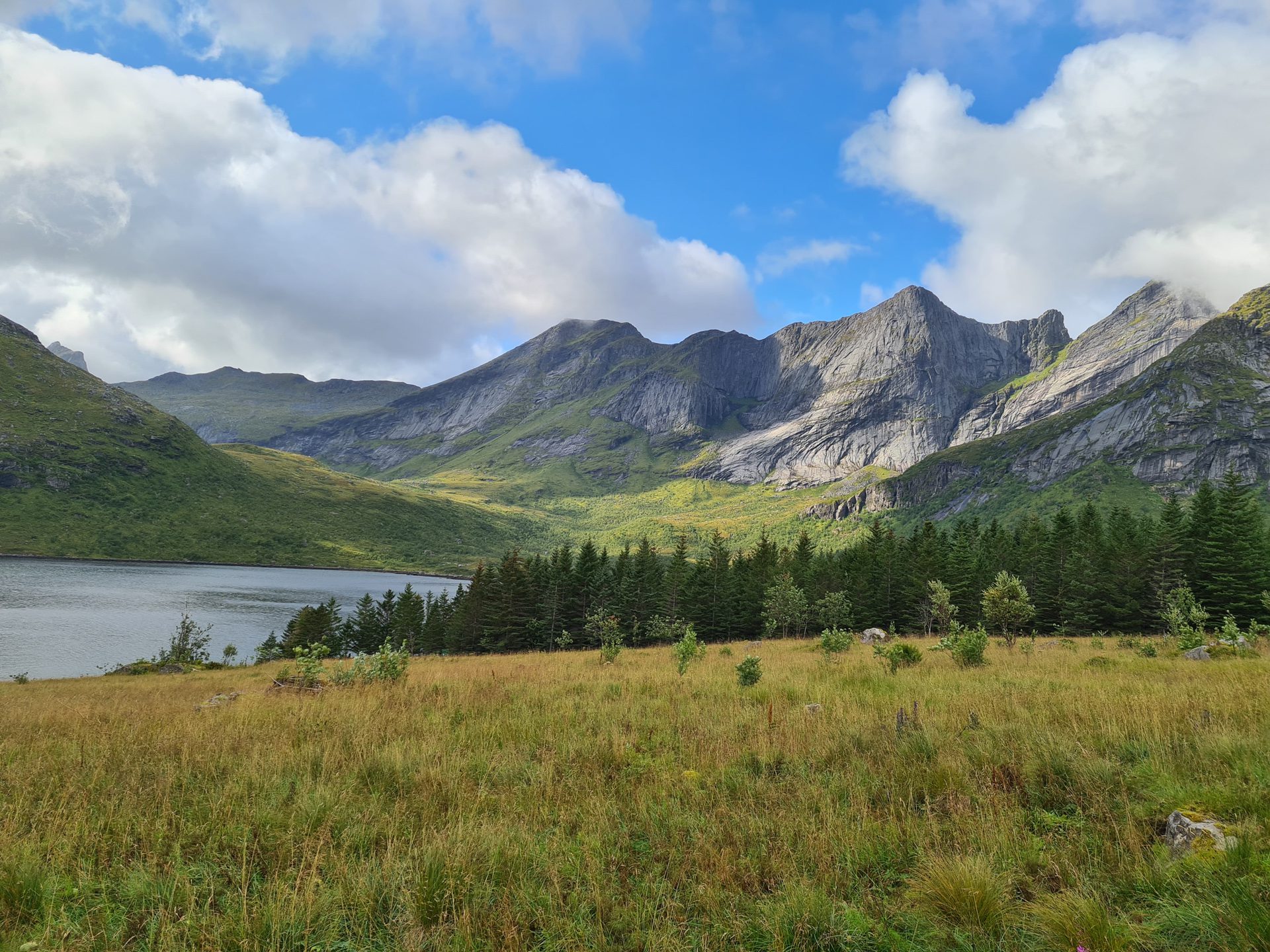
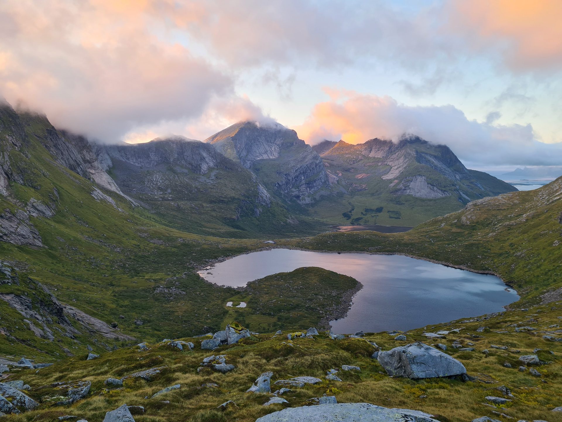
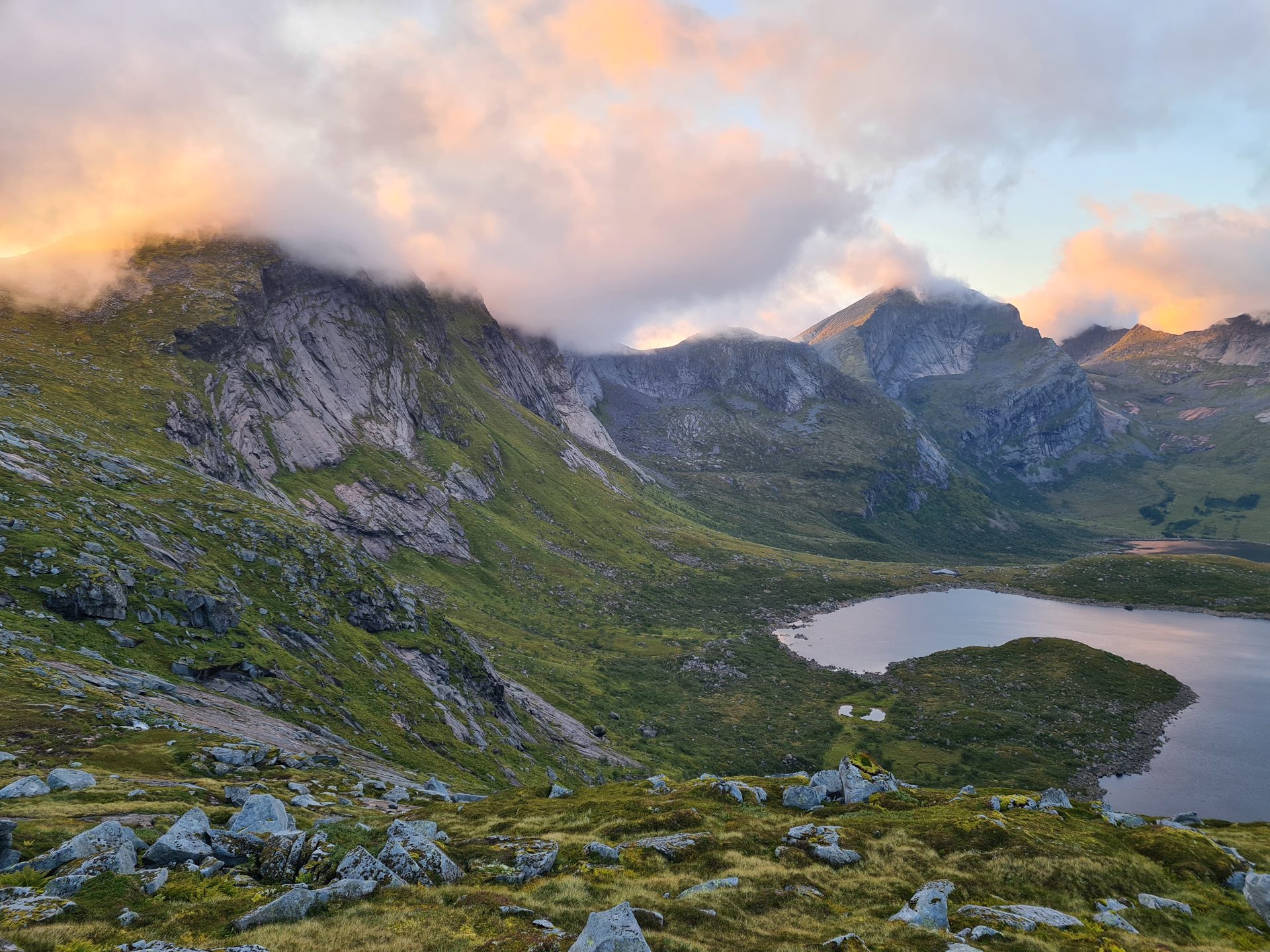
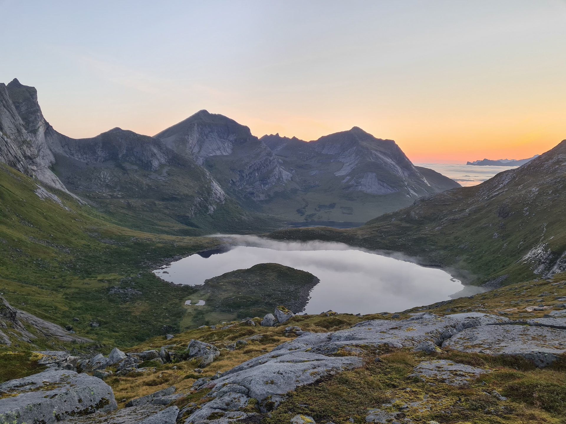
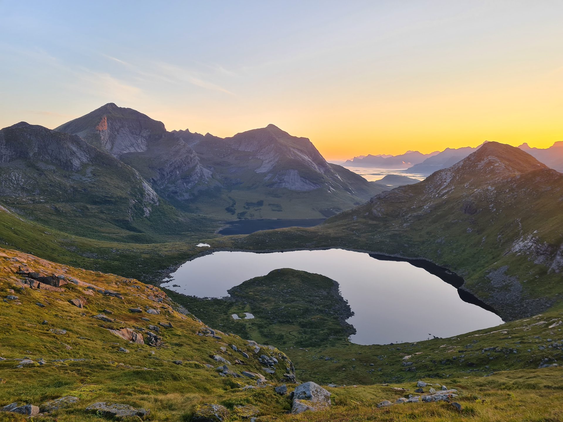
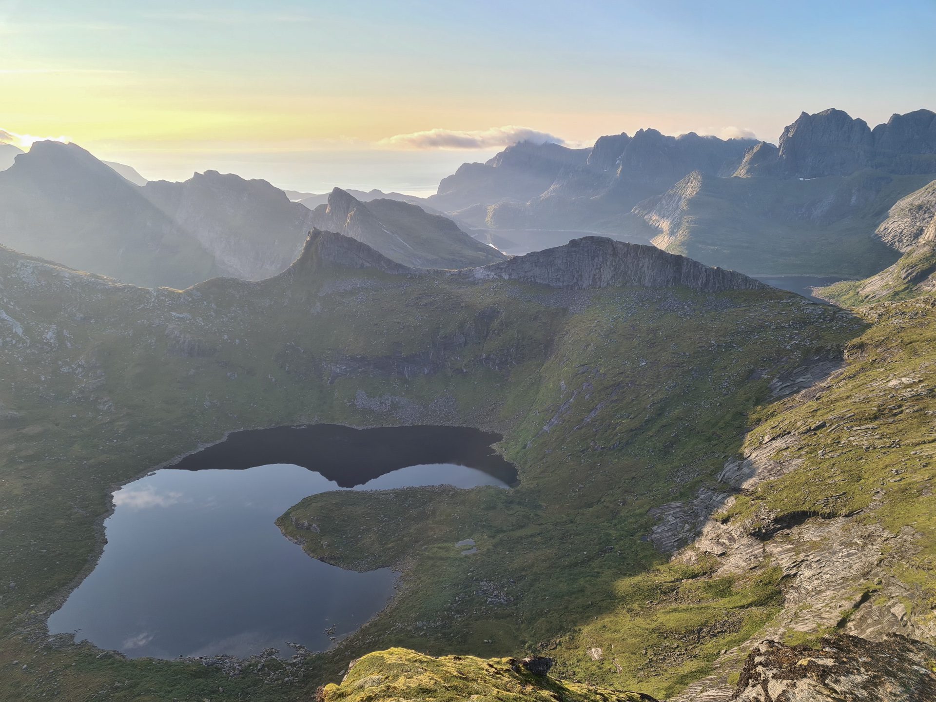
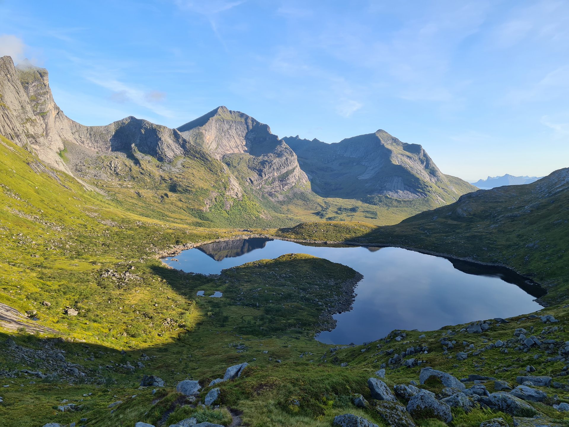
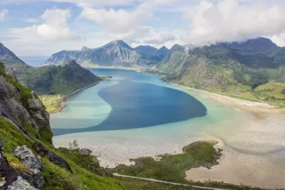
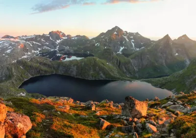
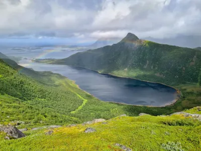
- Diversity of landscapes: discover a variety of environments, from the Selfjord to birch forests, Lake Fageråvatnet, and alpine terrain.
Practical information
Best time to go
June to September on average. See the Norway FAQ for more details.
Possible combination
This hike can be combined with the ascent of Tverrfjellet, as much of the route is shared by both itineraries.
Camping options
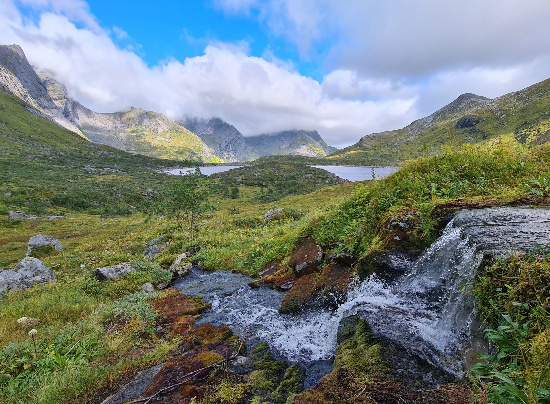
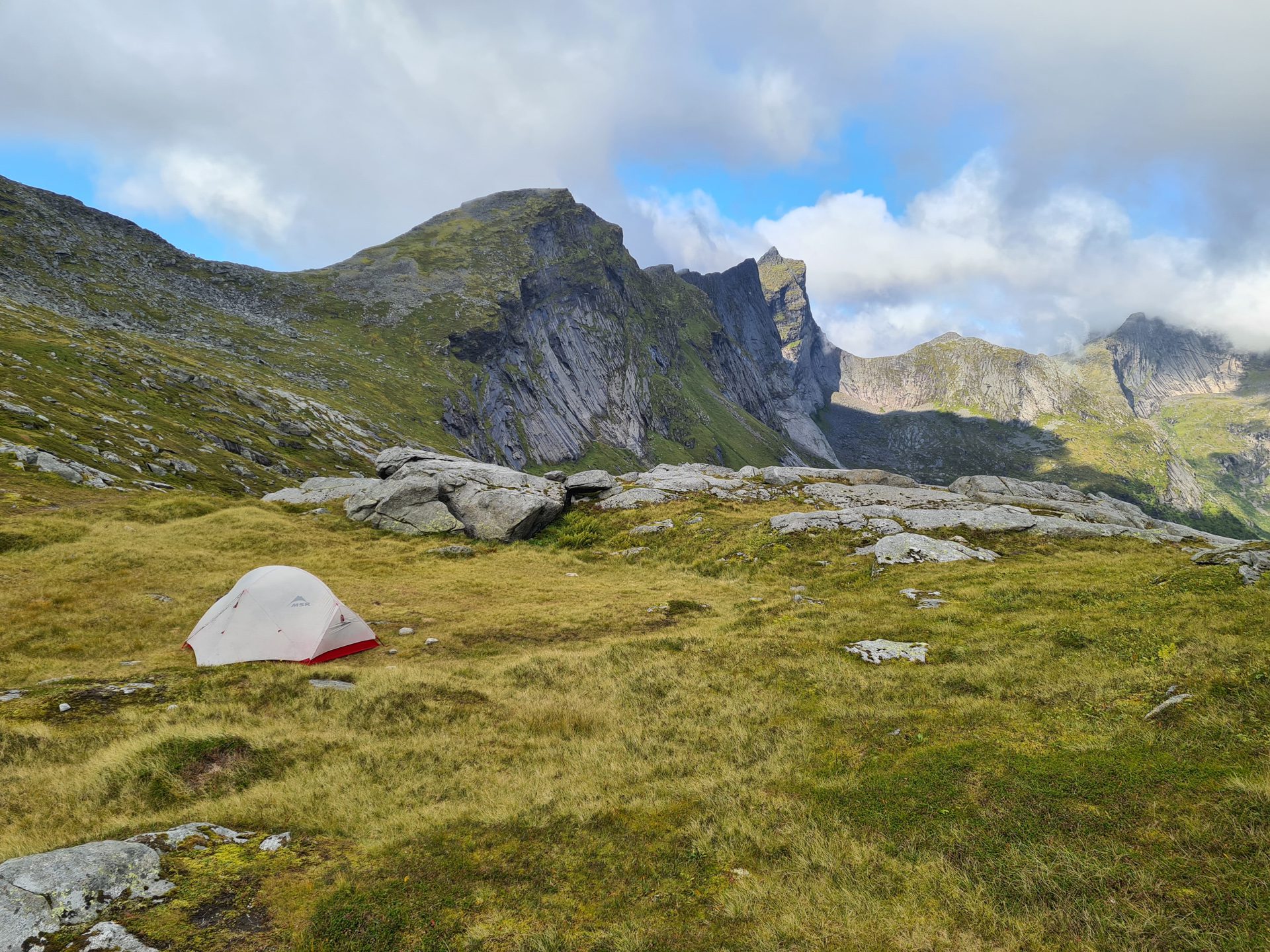
There are several beautiful spots to pitch a tent along the route, including the Fageråskaret pass and the northern shore of Lake Fageråvatnet. Water is plentiful throughout the route.
Photos
See all 19 photos →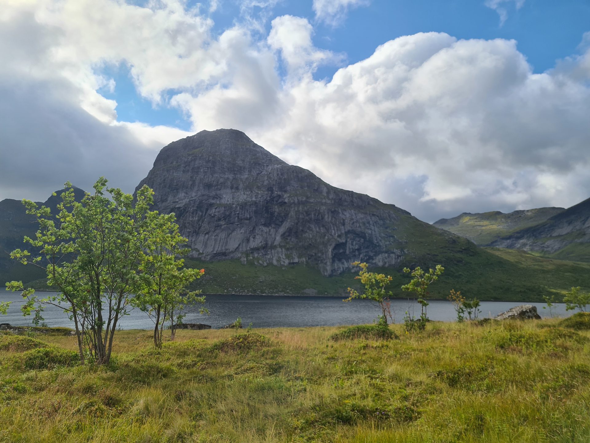
More hikes to do in Norway
Nearby hikes












Printed from www.horizonrando.fr/en/norway/branntuva/