





Moltinden Hike
Key facts about the hike
- Difficulty
- Moderate Hikes are rated from very easy to very hard: my difficulty scale
- Duration
- 3h30 Estimated time, short breaks included (photos, water, snacks), picnic not included: how it is calculated
- Distance
- 4.2km
- out and back
- Elevation gain
- 700m
- Type of route
- Out and back
- Maximum altitude
- 696 m
- Vertiginous Five levels, depending on how exposed the route is: the levels in detail
- Slightly
- Marked
- No
- Popularity
- Low
- Island
- Flakstadøya, Lofoten
- Start point
- 68.08890, 13.23131
- Activity
- Hiking
Hike overview
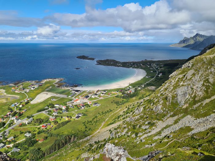
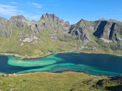
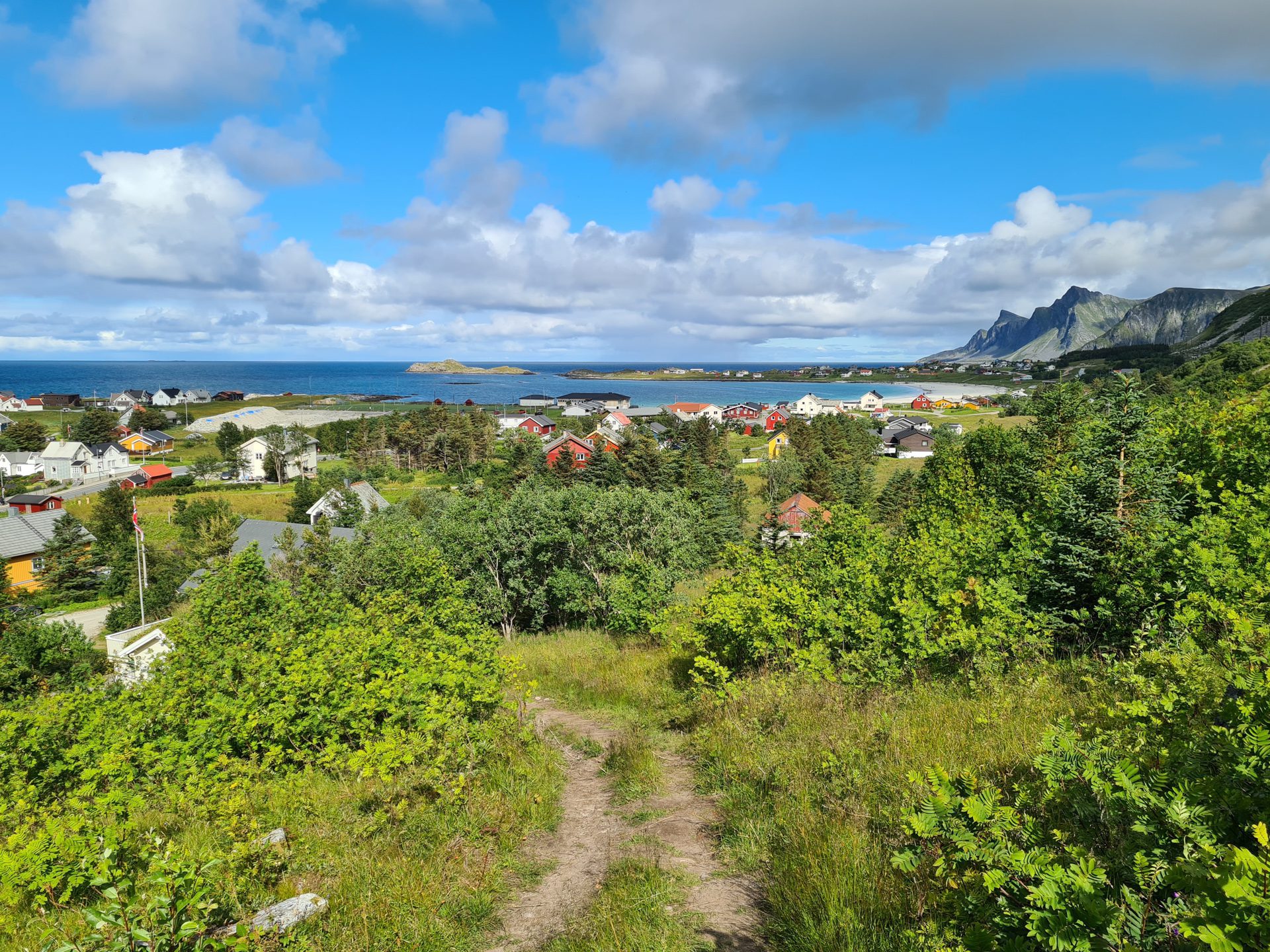
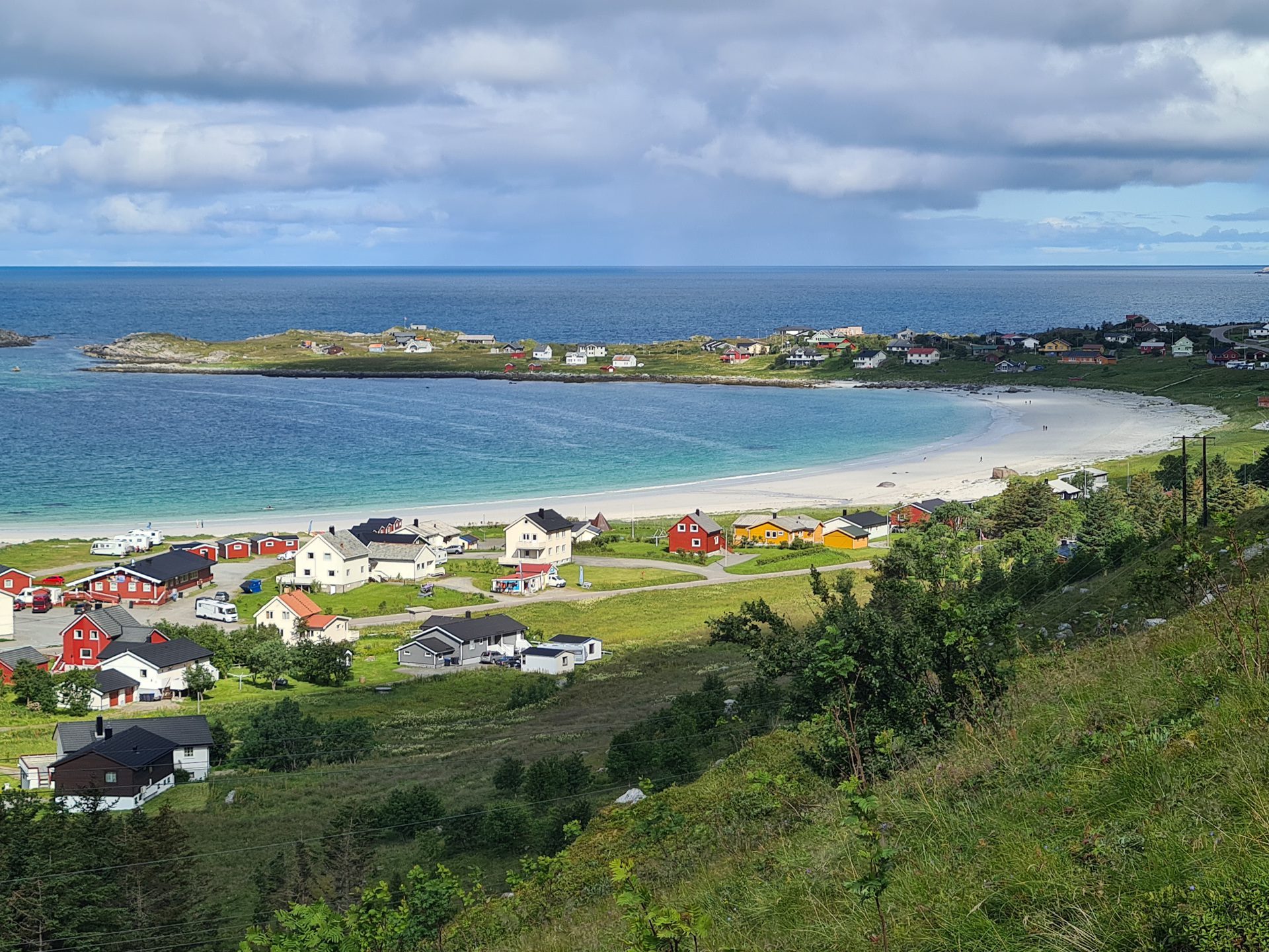
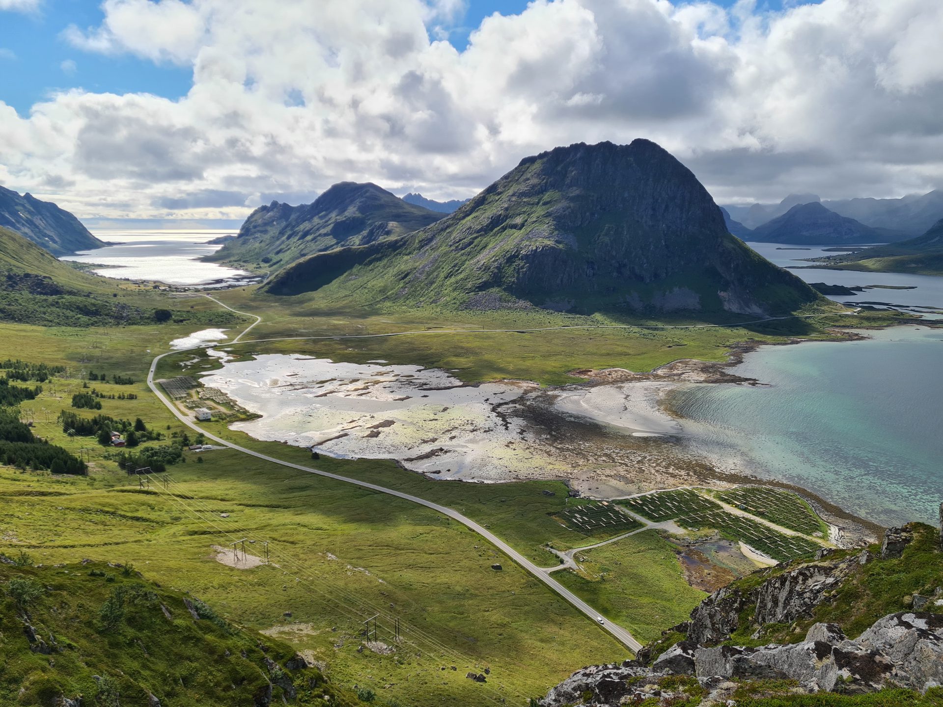
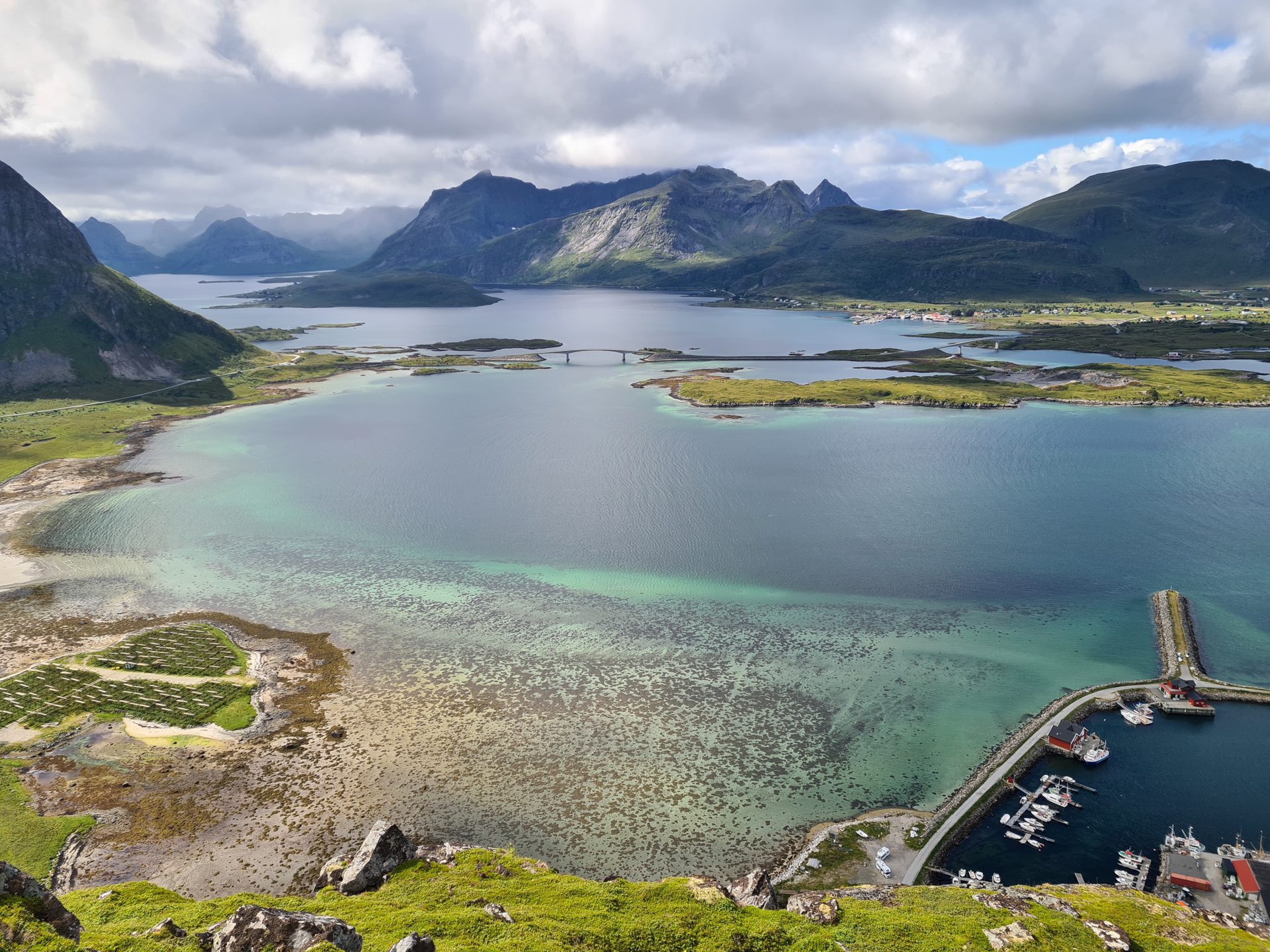
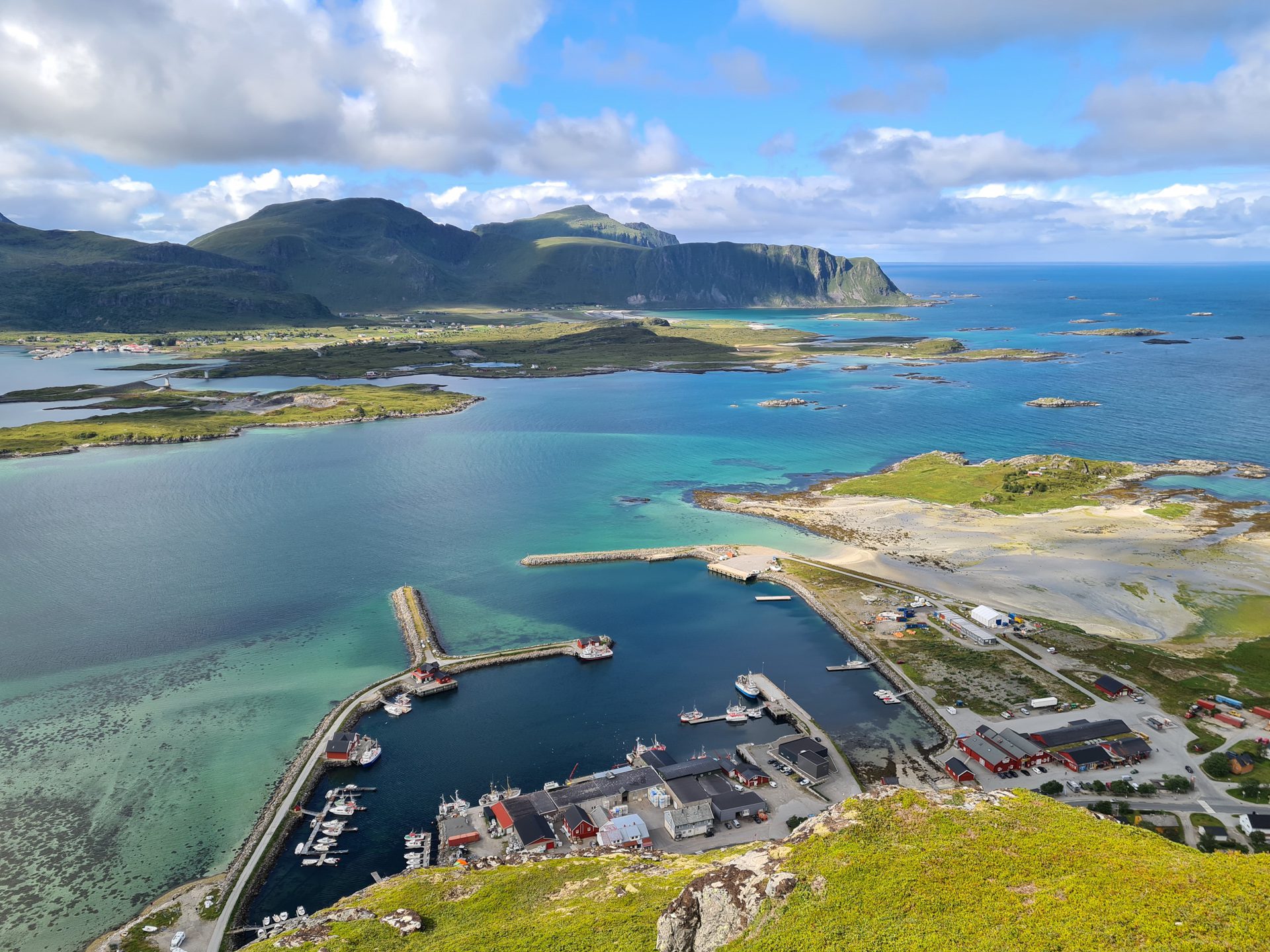
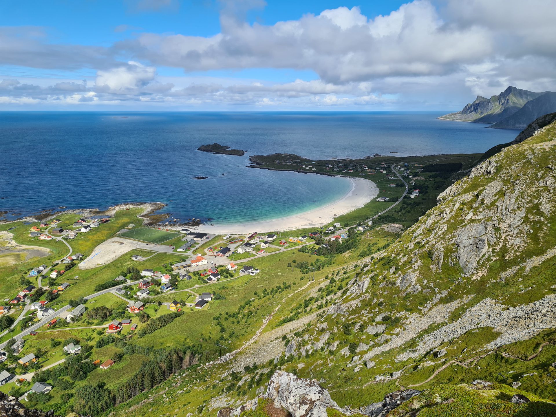
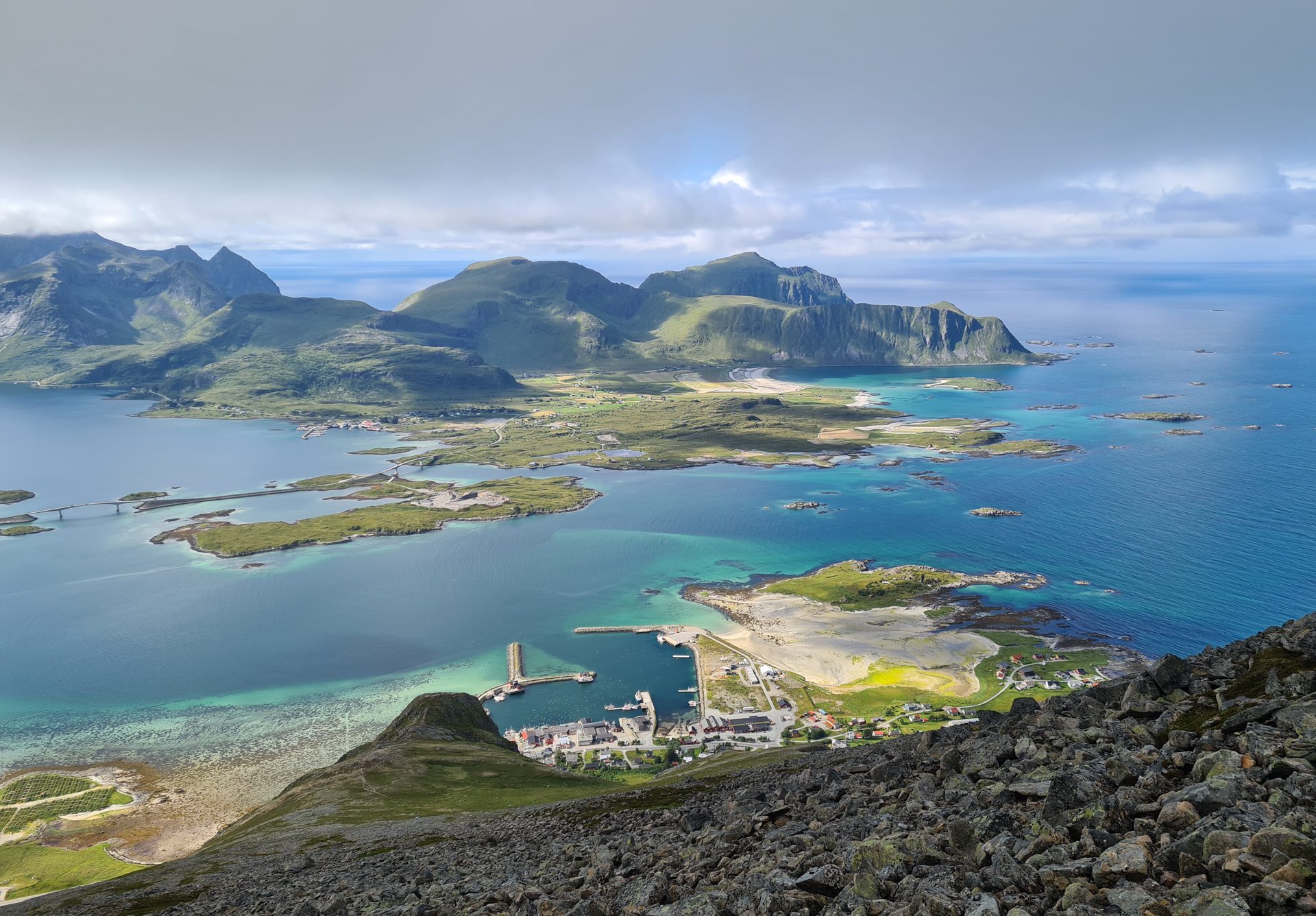
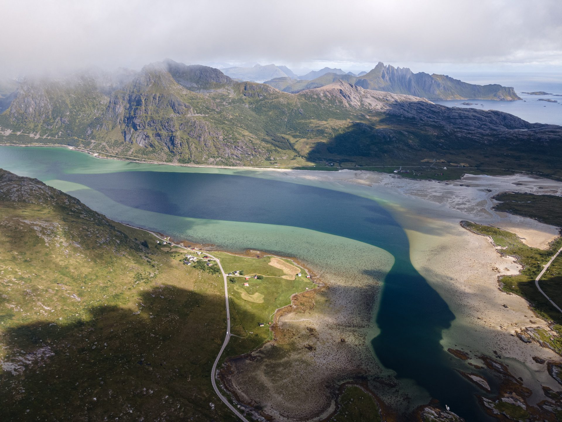
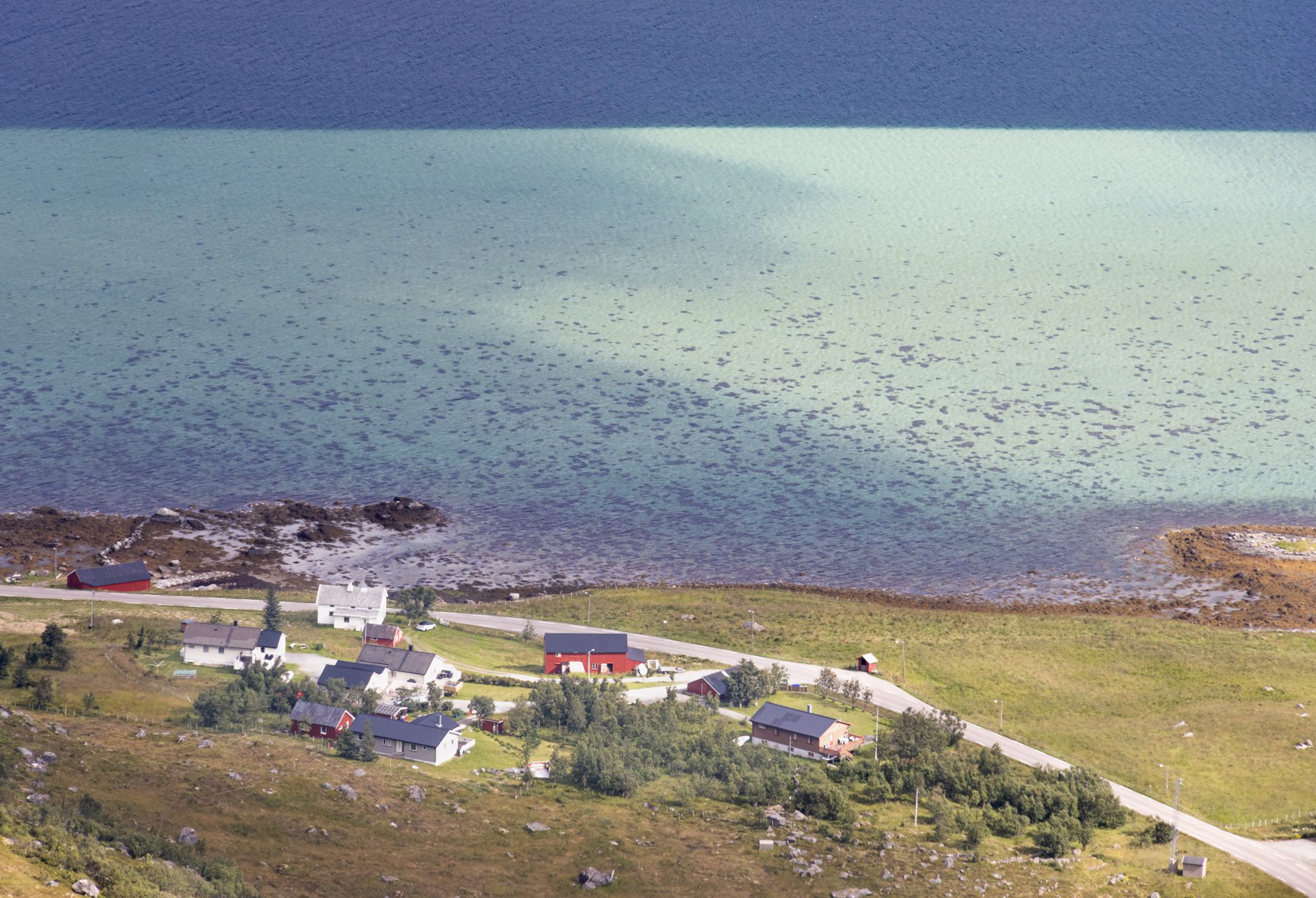
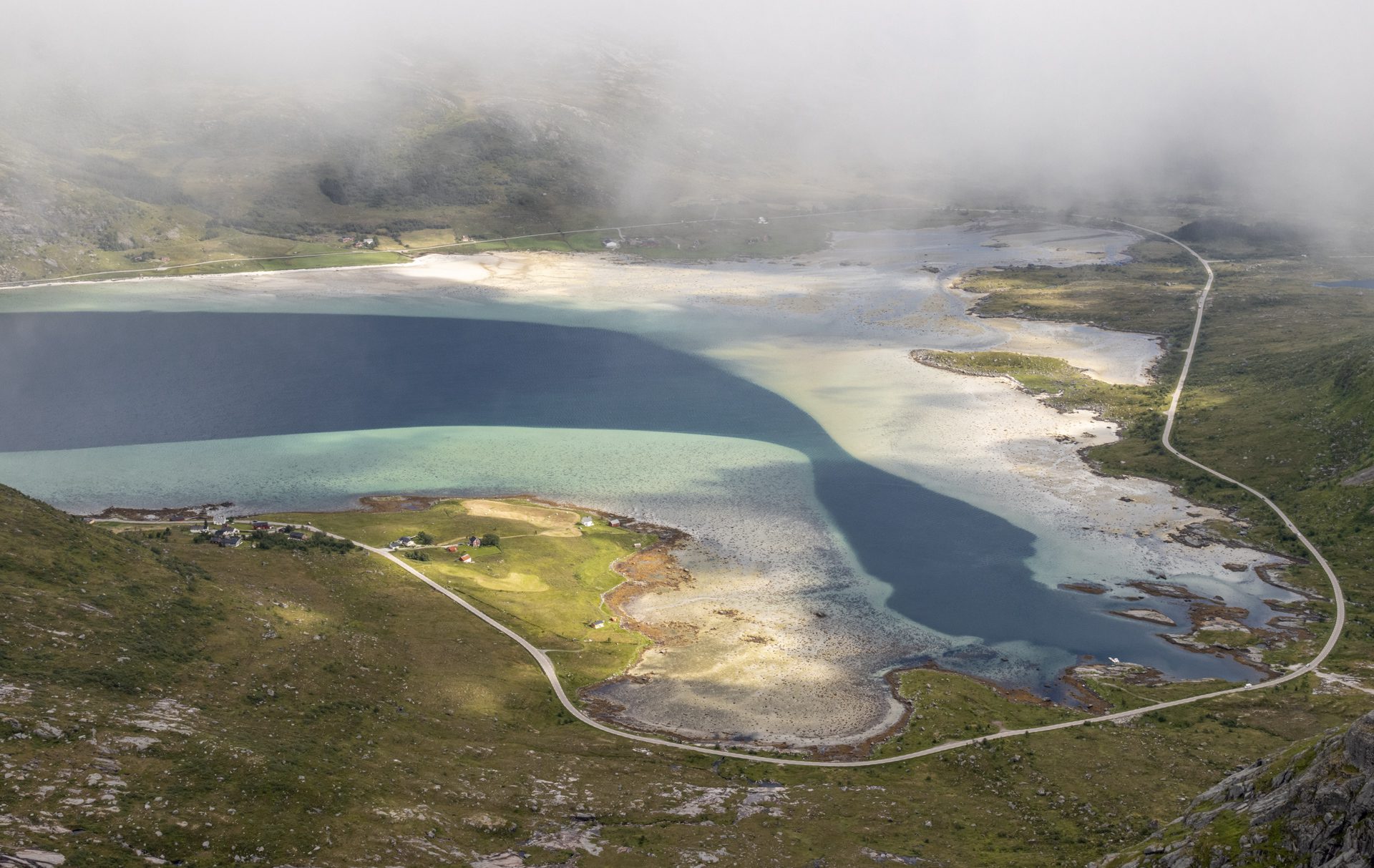
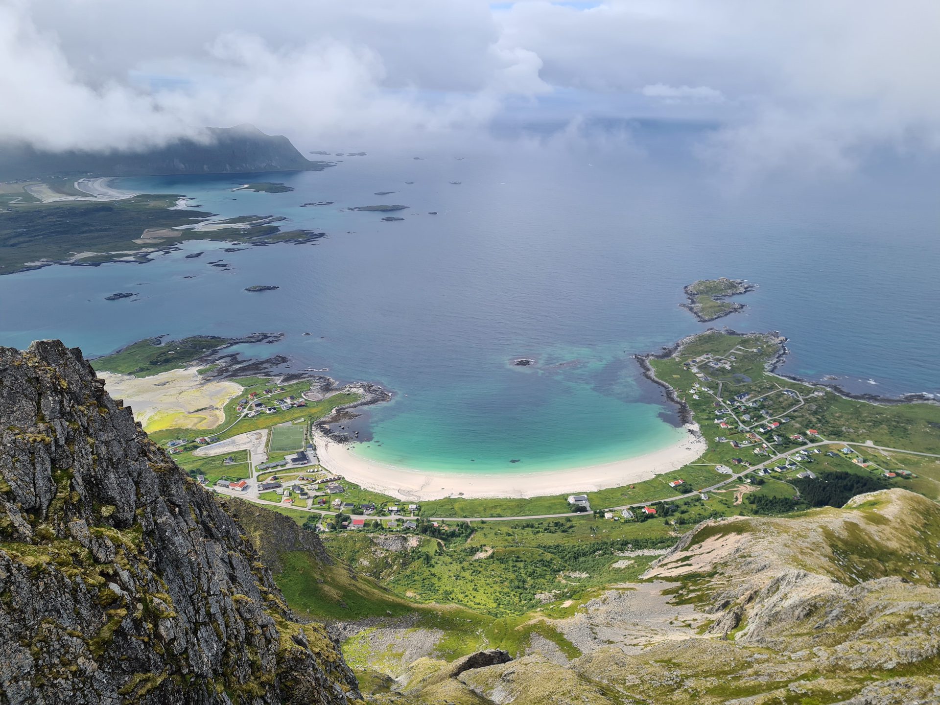
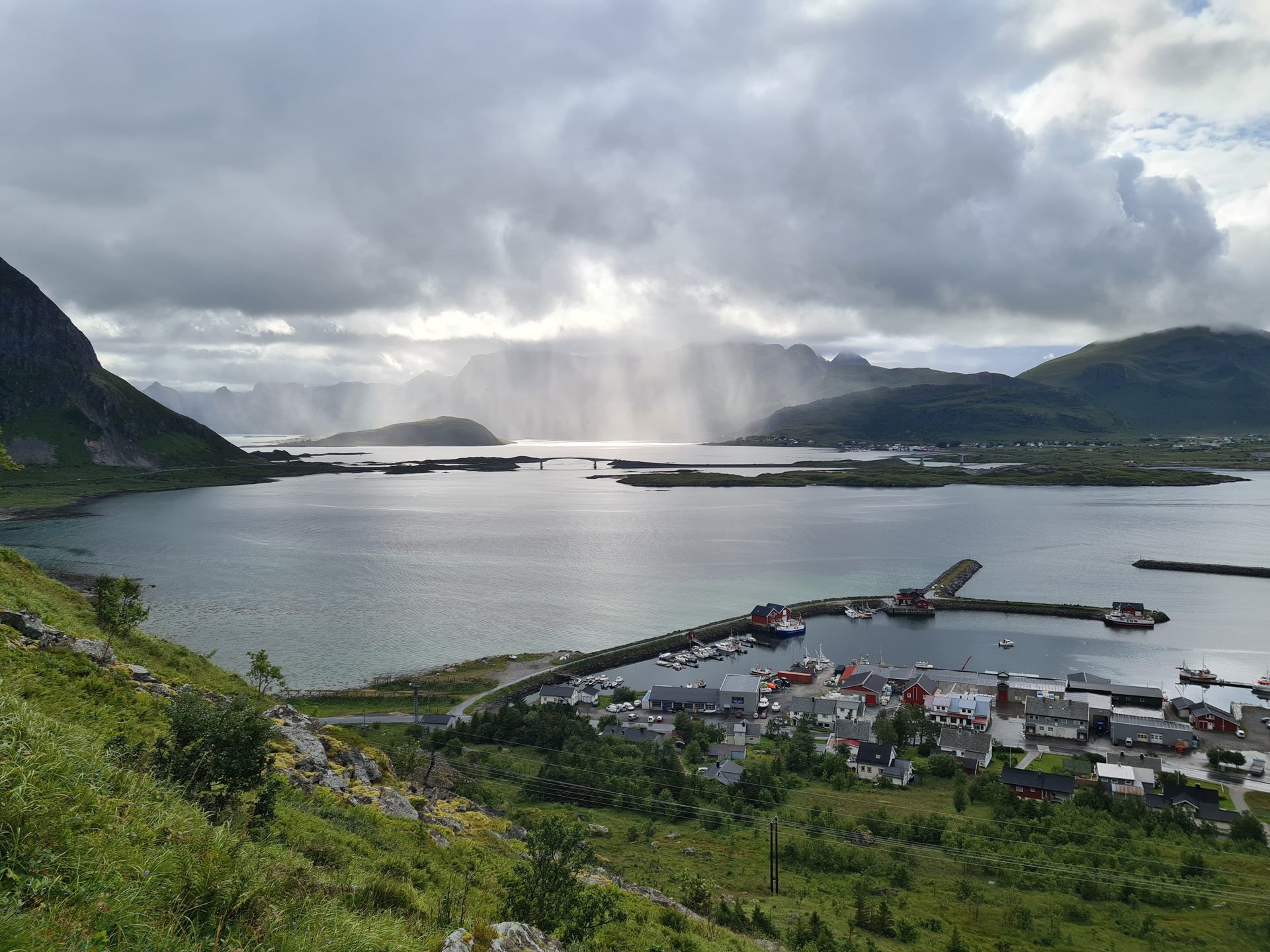
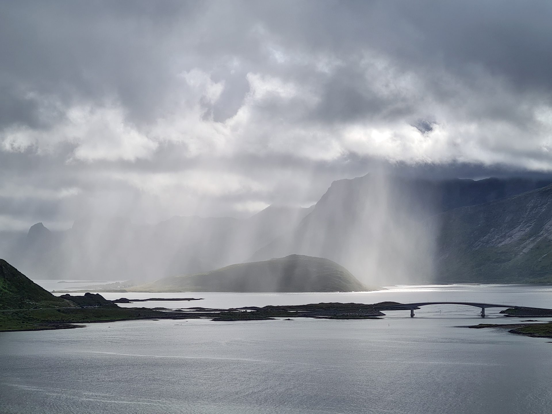
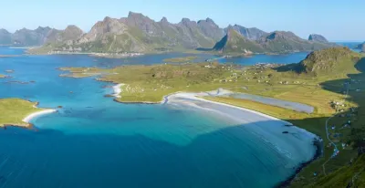
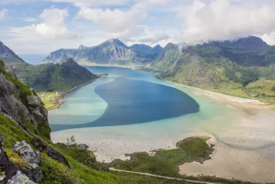
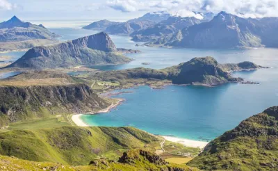
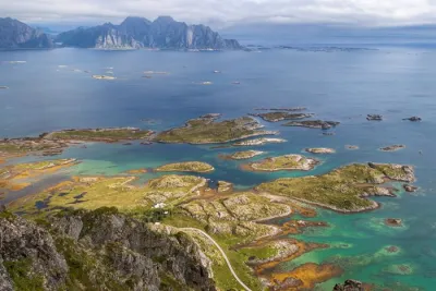
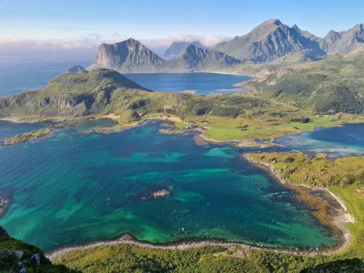
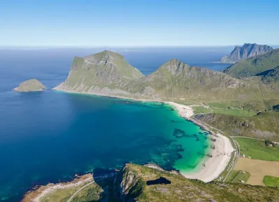
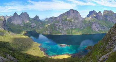
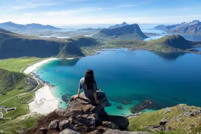
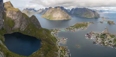
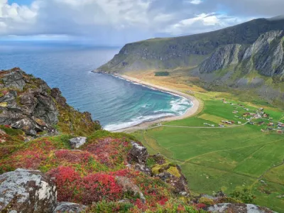
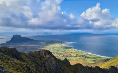
Embark on an adventure to the summit of Moltinden, a short but intense hike located on Flakstadøya island in the Lofoten archipelago. Hikers are rewarded with magnificent panoramic views along the way, including the Ramberg village and beach, the Skjelfjord, and the northern part of Moskenesøya Island. From the summit, Flakstadpollen Bay resembles a tropical lagoon with its turquoise waters. To the south lie the majestic mountains of Flakstadøya.
Map and elevation profile of the hike
Moltinden Hike
Description and difficulties of the hike
The main difficulty lies in the very steep slope that makes up most of the route. This hike takes you from sea level to an altitude of 700 meters in just two kilometers. Fortunately, the trail remains clearly visible from start to finish, though it can be harder to spot in the scree. Keep an eye out for the cairns to help you find your way.
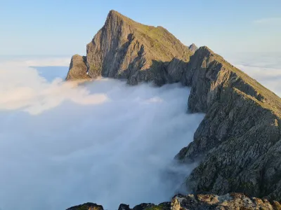
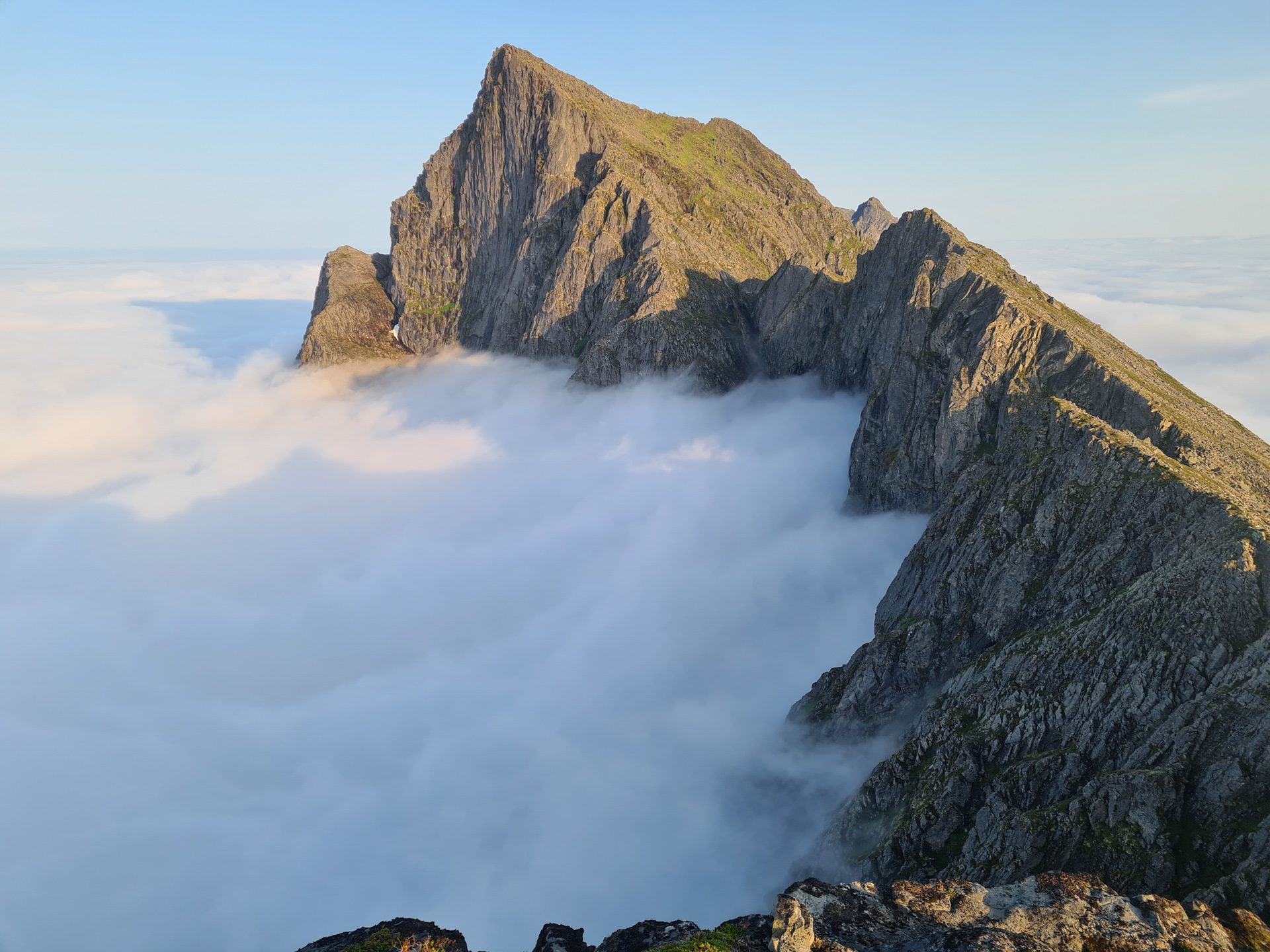
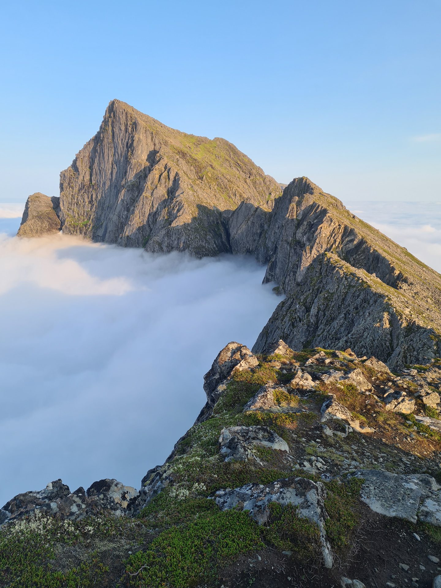
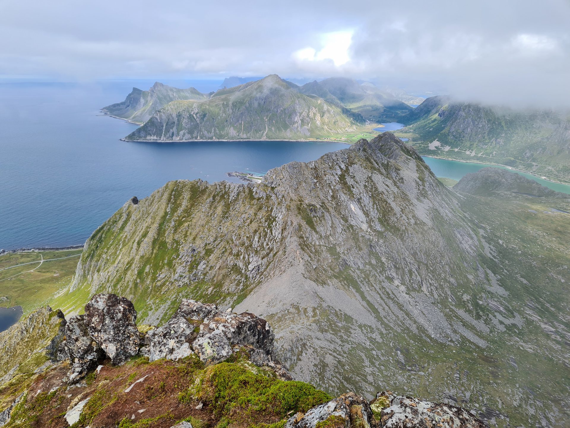
After reaching the intermediate summit of Nubben, several trails will be available. The trail on the right is the most difficult and disappears before the summit (much of it is off-trail), while the trail on the left takes an uninteresting detour. The middle trail is best: it leads to the northwest ridge of Moltinden, which you will then follow to the summit.
Be careful on the descent, as the slopes are steep and slippery, especially on gravel and loose rocks.
What you'll love
- Passing through the small Nubben summit (240 m), which offers beautiful views of the Skjelfjord and serves as an excellent intermediate observation point.
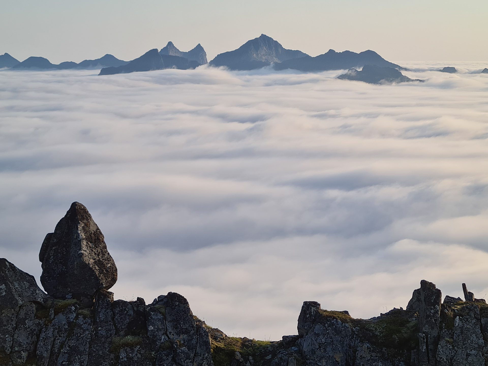
- The breathtaking view from the summit of Flakstadpollen Bay and the majestic mountains of Flakstadøya. To the south, you can admire the impressive cliffs and ridge of Stortinden.
- The low number of hikers allows you to fully enjoy the beauty of the Lofoten Islands in a peaceful atmosphere.
Practical information
Starting point
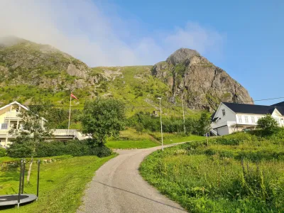
From the Bunnpris store parking lot in Ramberg, locate the trailhead on the small road across from the parking lot exit. Head towards the large metal tank.
Best time to go
Mid-June to September on average. See the Norway FAQ for more details.
Please note
The slopes are steep but never overly exposed. Only the last few meters before reaching the summit may seem daunting to those sensitive to heights. However, you don't need to go all the way to the top to enjoy the magnificent view. It's just as splendid a few meters below.
Photos
See all 18 photos →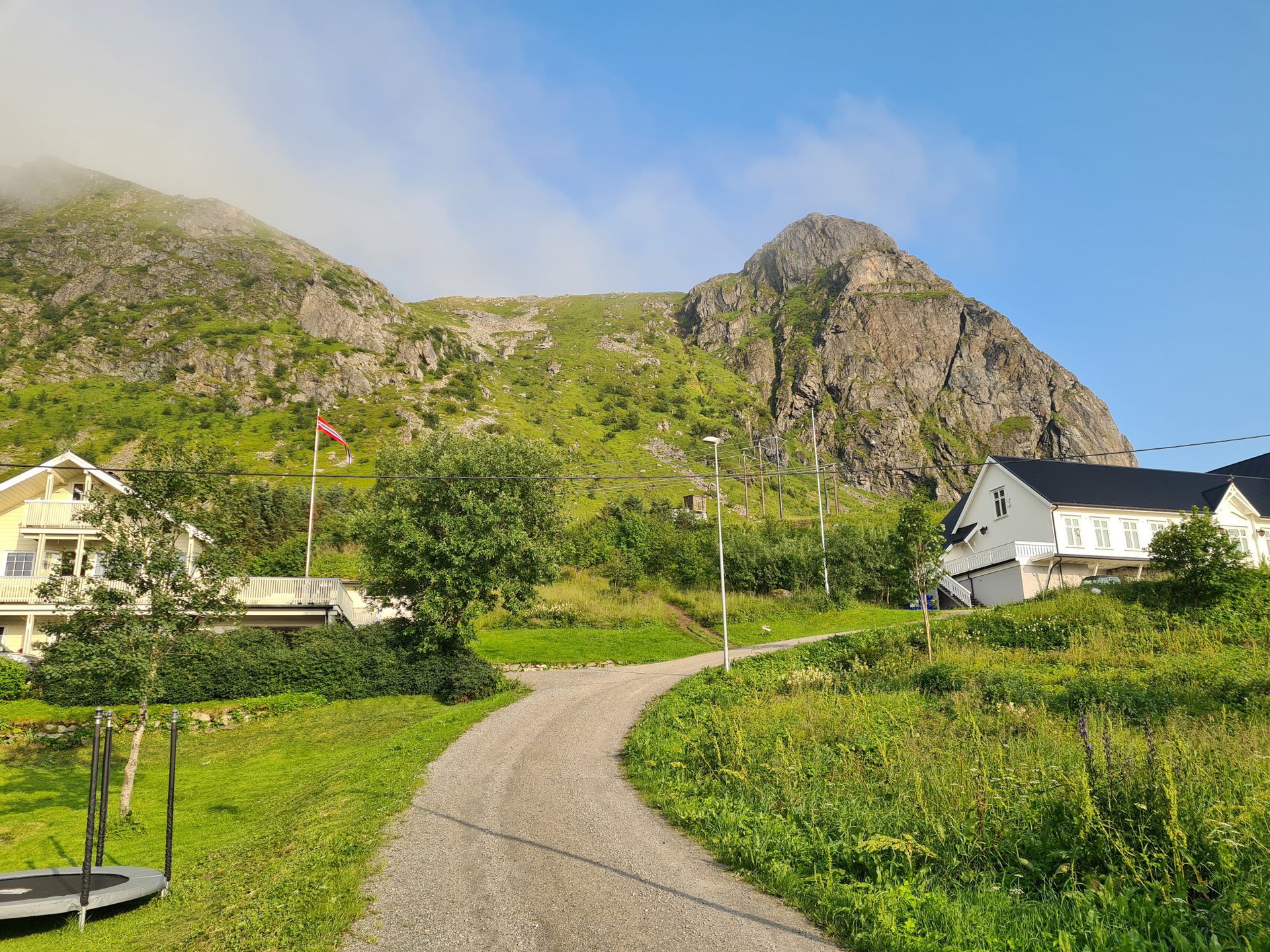
More hikes to do in Norway
Nearby hikes














Printed from www.horizonrando.fr/en/norway/moltinden/