






Kollfjellet Hike
Key facts about the hike
- Difficulty
- Hard Hikes are rated from very easy to very hard: my difficulty scale
- Duration
- 3h30 Estimated time, short breaks included (photos, water, snacks), picnic not included: how it is calculated
- Distance
- 3.9km
- out and back
- Elevation gain
- 490m
- Type of route
- Out and back
- Maximum altitude
- 512 m
- Vertiginous Five levels, depending on how exposed the route is: the levels in detail
- Moderately
- Marked
- No
- Popularity
- Very low
- Island
- Flakstadøya, Lofoten
- Start point
- 68.06363, 13.32733
- Activity
- Hiking
Hike overview
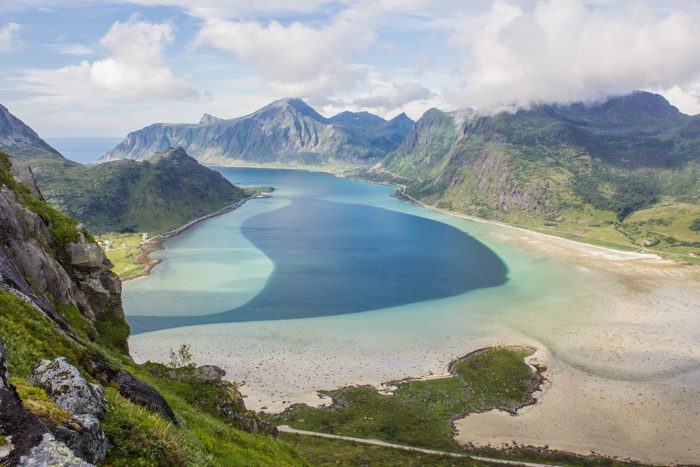
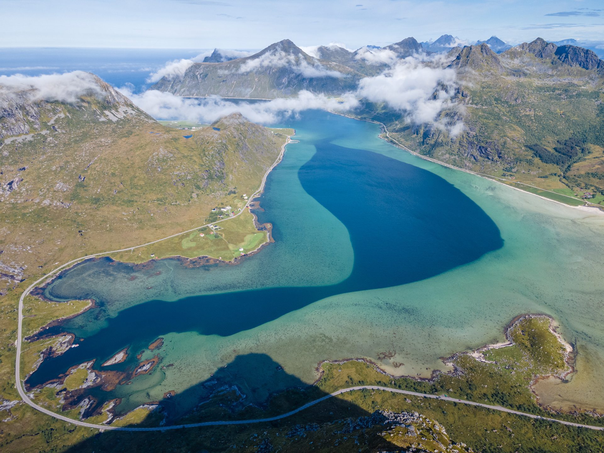
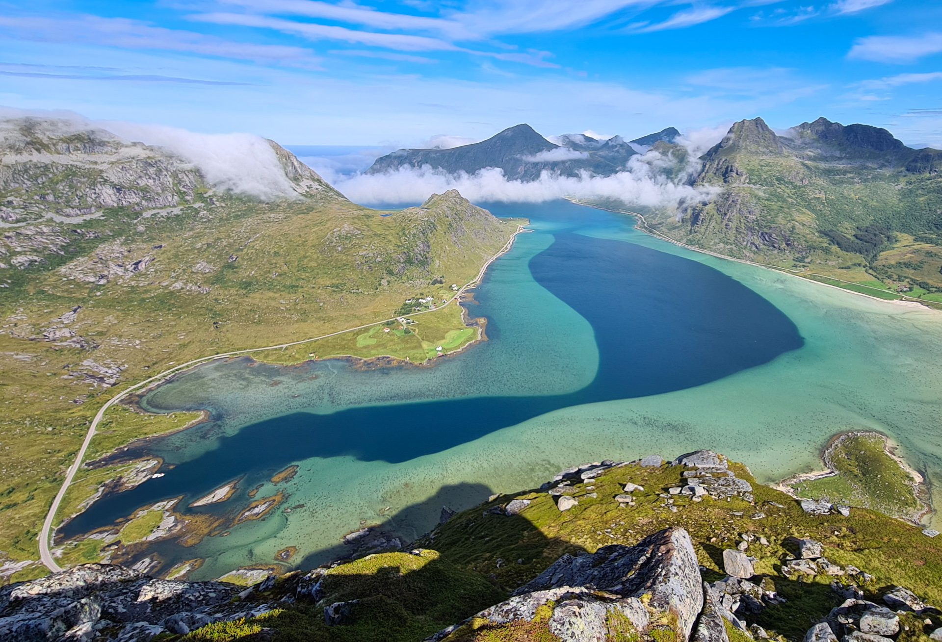
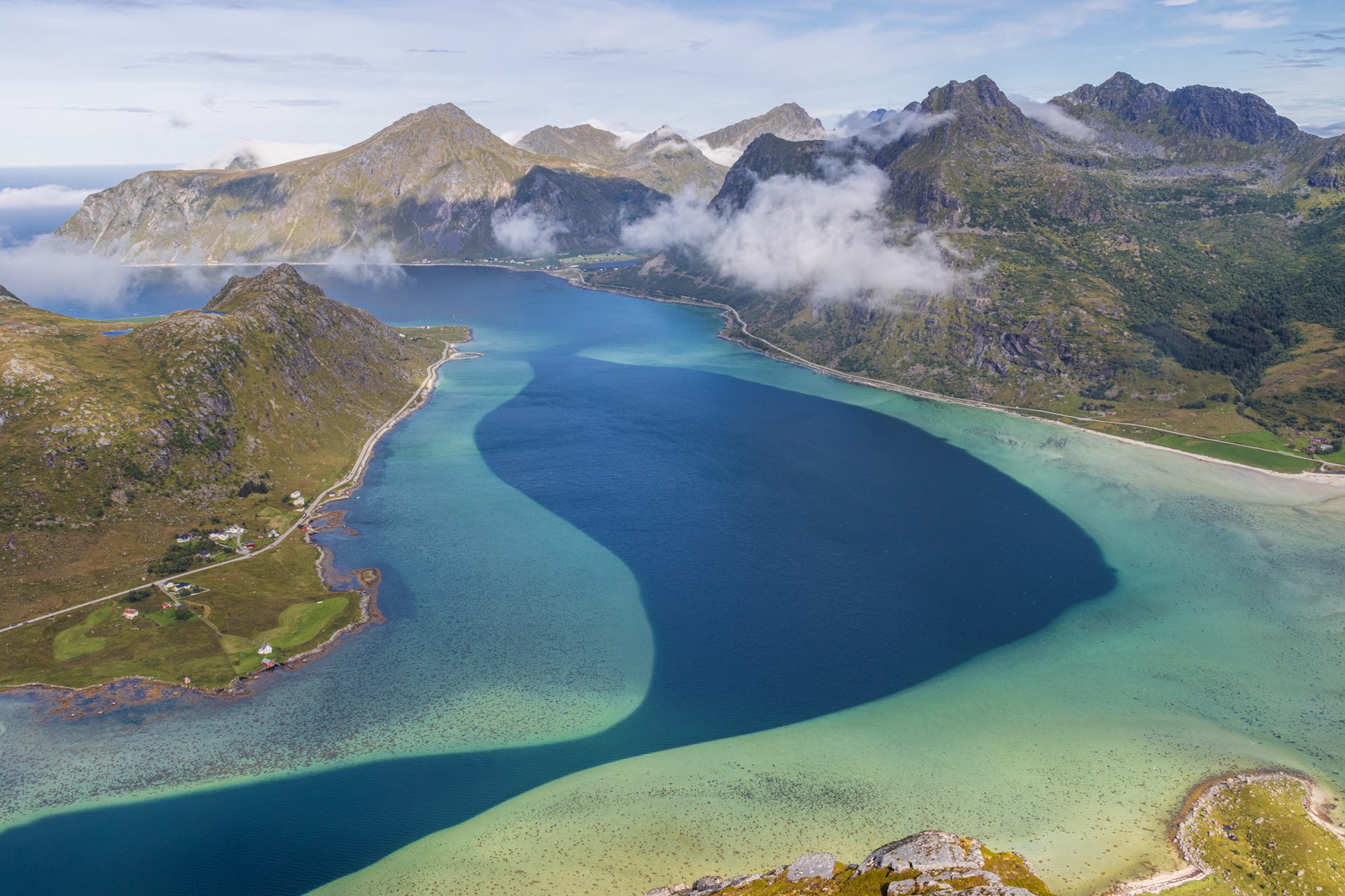
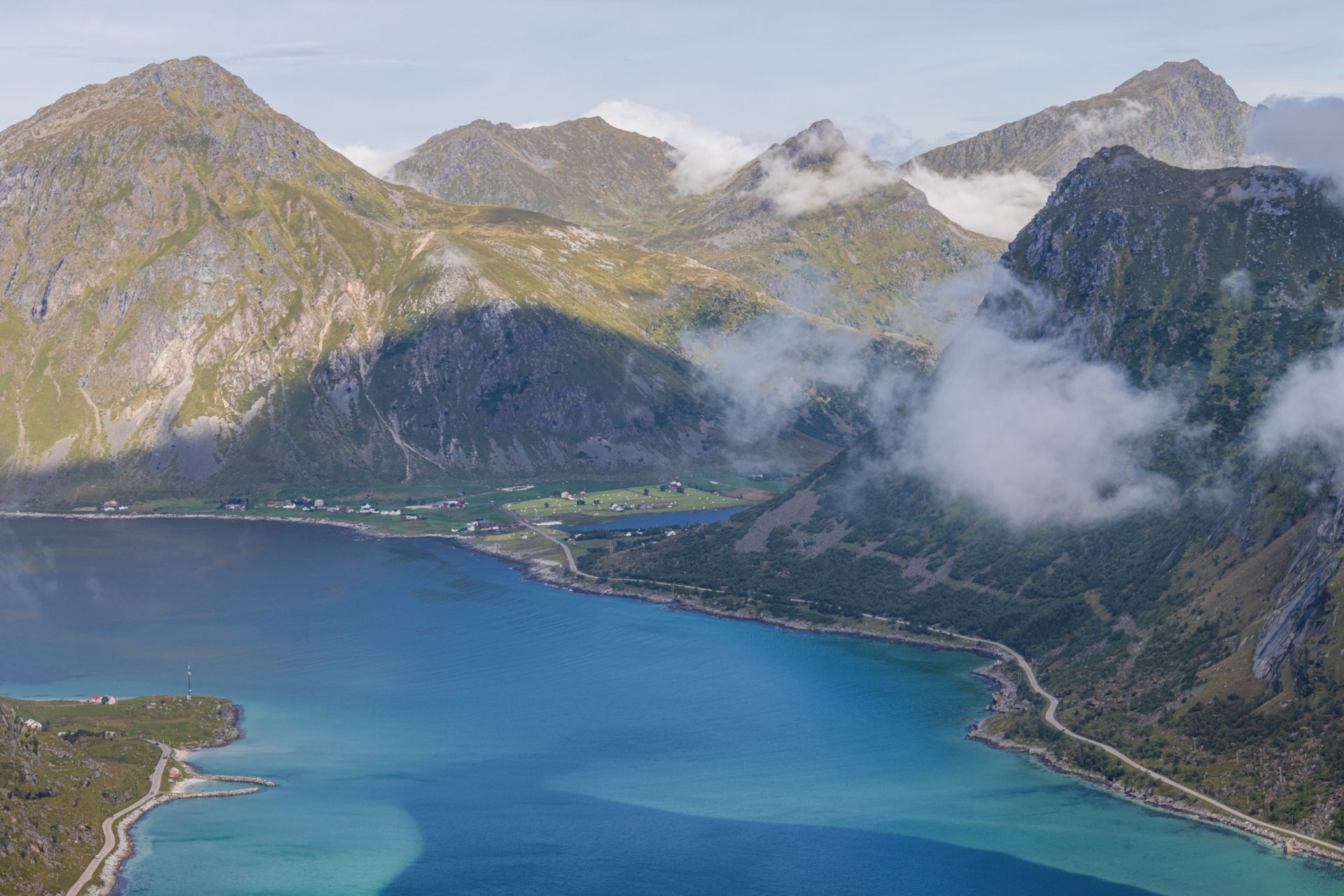
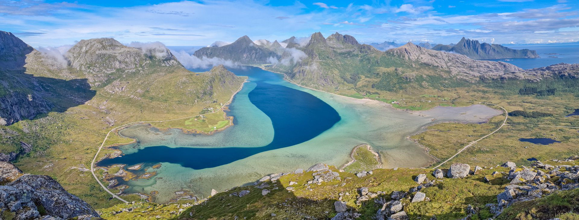
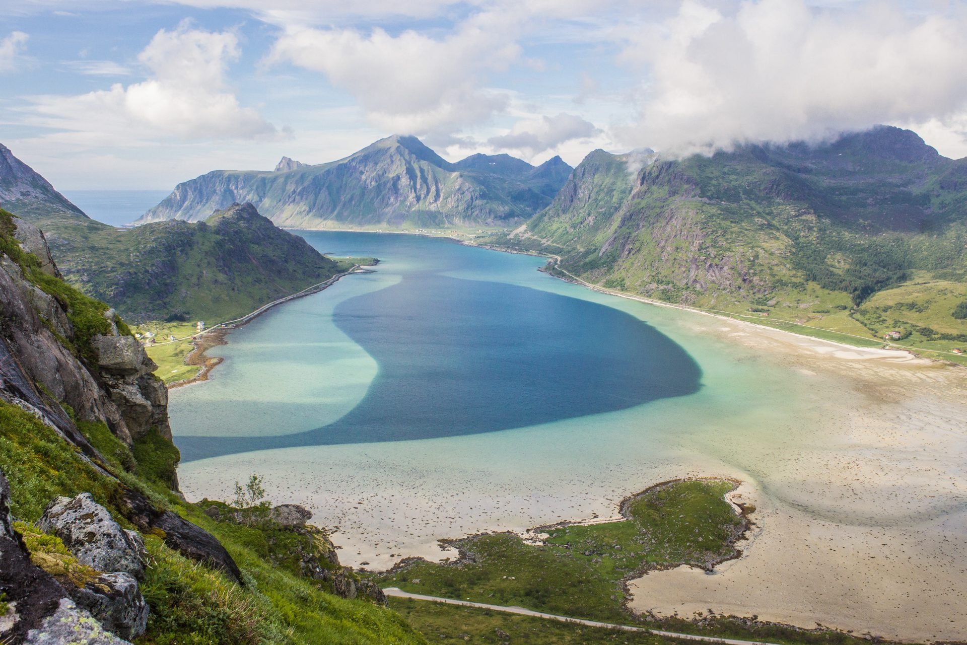
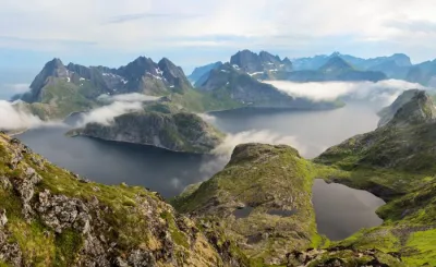
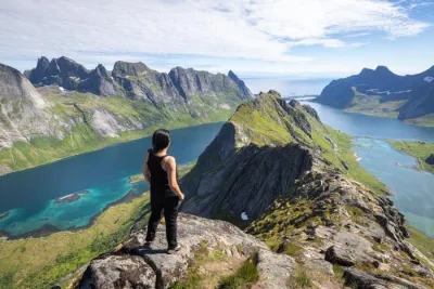
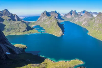
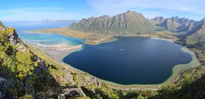
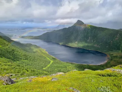
The Kollfjellet hike leads to the summit of this small 512-meter mountain, ideally located on Flakstadøya Island in the Lofoten archipelago in Norway. This climb offers spectacular views of the turquoise Flakstadpollen Bay and is an excellent yet little-known photography spot.
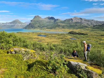
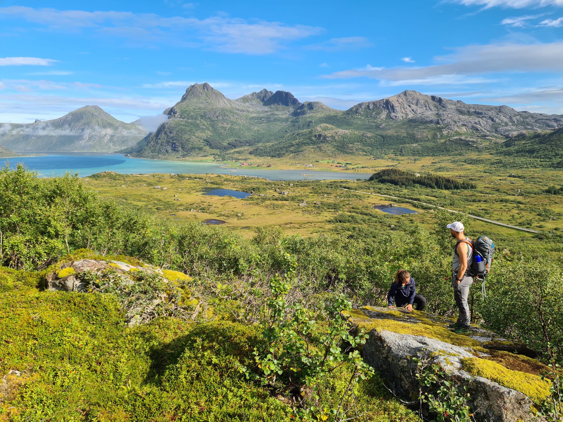
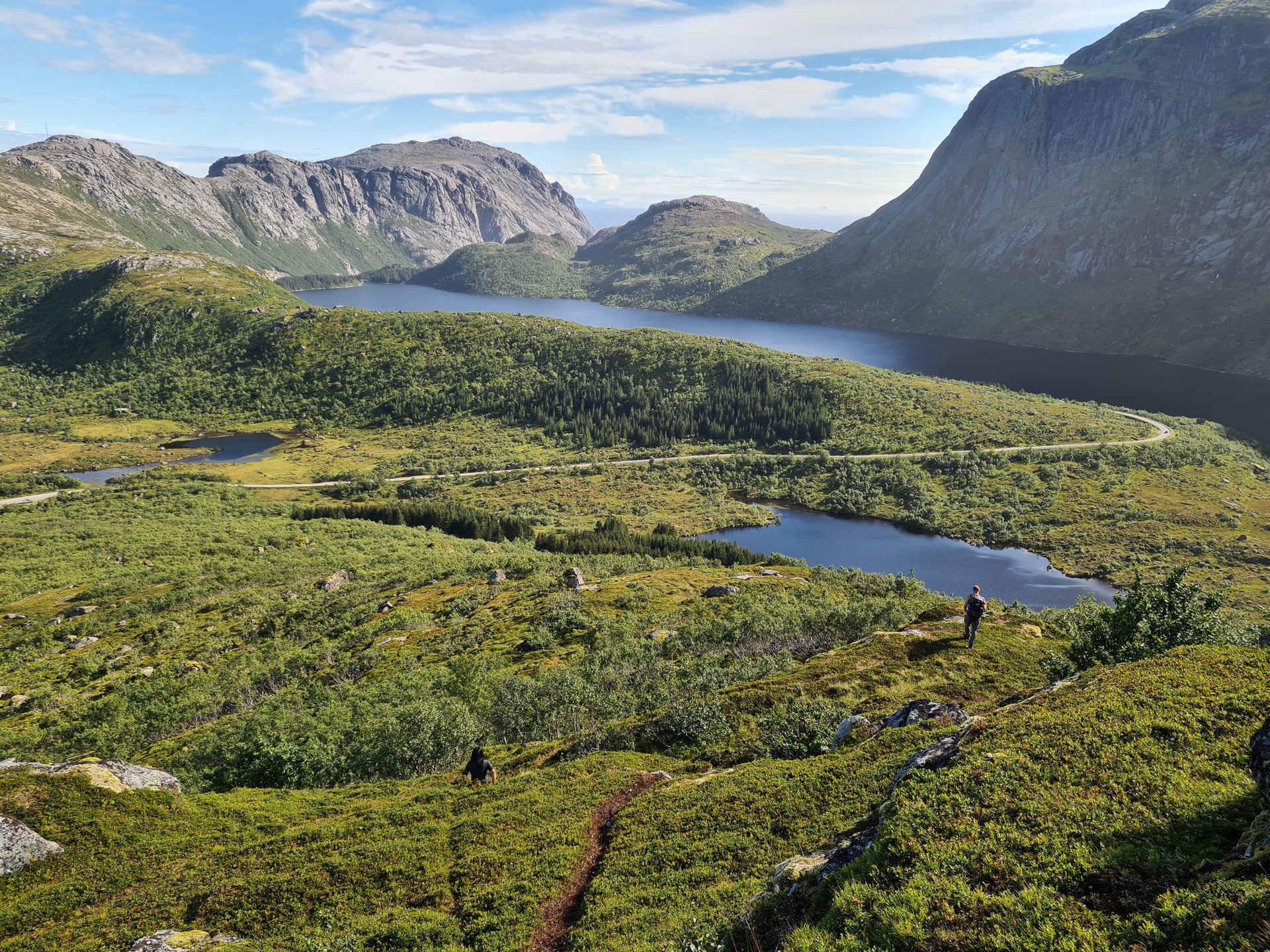
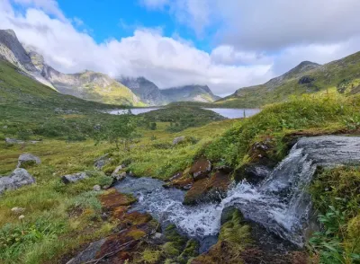
Although relatively short, this hike is notable for its adventurous nature: the absence of a trail means you must find your own way through a dense birch forest, ensuring a rare experience of solitude in the Lofoten Islands.
Map and elevation profile of the hike
Kollfjellet Hike
Difficulties of the hike
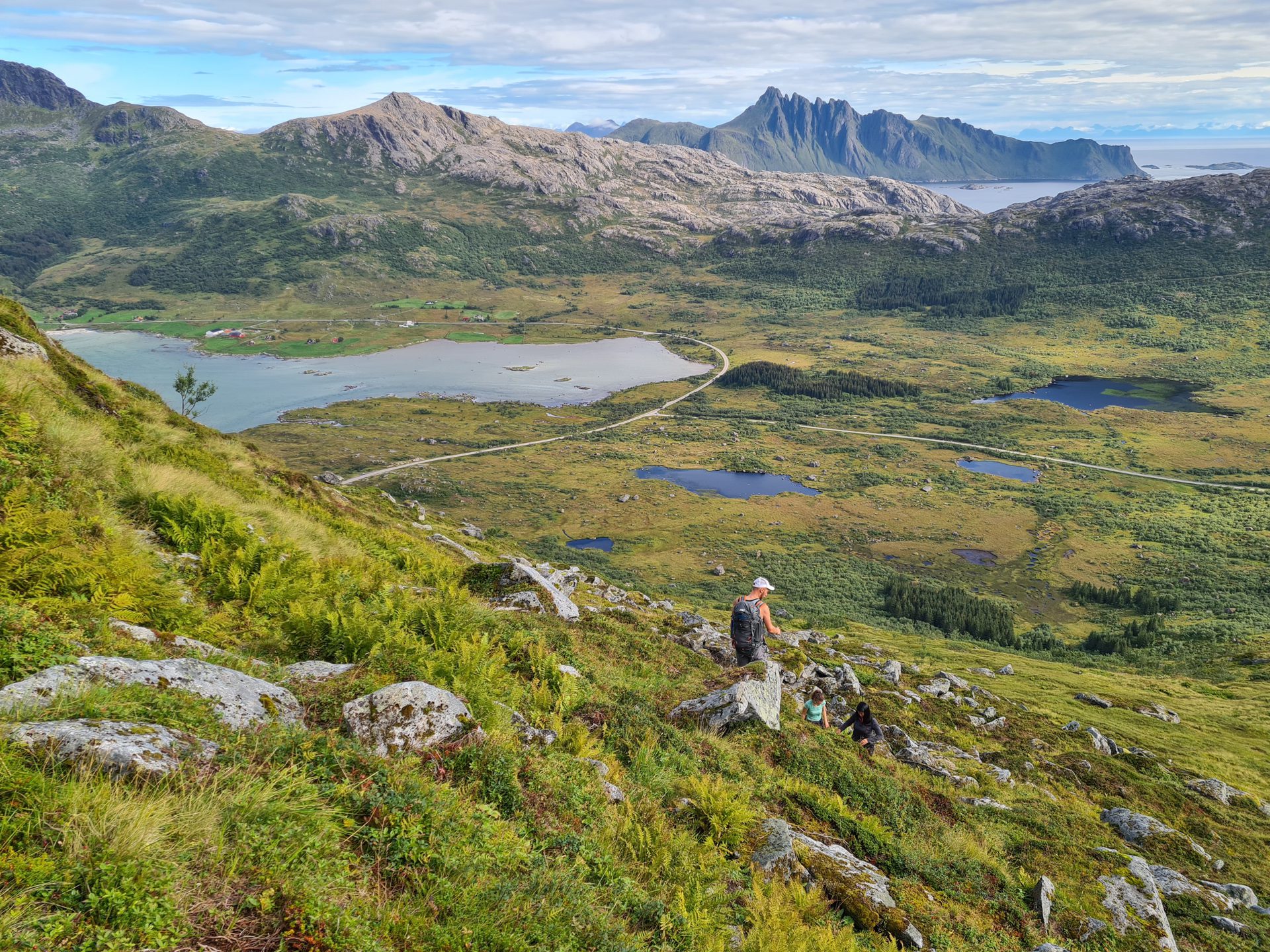
The main difficulty of this hike is the lack of a trail: you must navigate off-trail for almost the entire route. You will find several sheep tracks, but they all disappear at some point. You can follow the GPS track; otherwise, the idea is to head northwest while avoiding slopes that are too steep.
The first 500 meters require navigation through a dense birch forest, an experience that some may find enjoyable but others may find tedious. Then, the ascent begins, often very steep and sometimes requiring the use of your hands.
What you'll love
- Breathtaking panoramas: The views of turquoise Flakstadpollen Bay from the summit are stunning.
- A preserved haven of tranquility: This hike remains uncrowded due to the lack of a trail, offering an exceptional experience of solitude in the Lofoten archipelago.
- An authentic off-trail adventure: Navigating through the birch forest adds an element of exploration, making this hike perfect for adventurous hikers.
Practical information
Access
Small parking lot with a few spaces, located one kilometer to the right after leaving the E10 towards Nusfjord.
Best time to go
June to mid-October on average. See the Norway FAQ for more details.
Photos
See all 12 photos →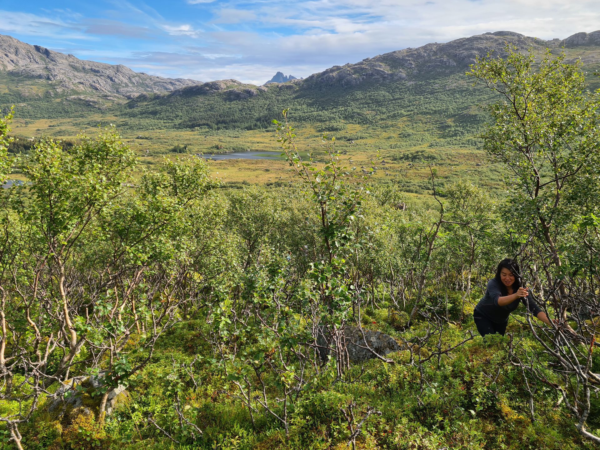
More hikes to do in Norway
Nearby hikes













Printed from www.horizonrando.fr/en/norway/kollfjellet/