





Helvetestinden Hike
Key facts about the hike
- Difficulty
- Hard Hikes are rated from very easy to very hard: my difficulty scale
- Duration
- 4h Estimated time, short breaks included (photos, water, snacks), picnic not included: how it is calculated
- Distance
- 8.6km
- out and back
- Elevation gain
- 610m
- Type of route
- Out and back
- Maximum altitude
- 602 m
- Vertiginous Five levels, depending on how exposed the route is: the levels in detail
- Very highly
- Marked
- No
- Popularity
- Low
- Island
- Moskenesøya, Lofoten
- Start point
- 67.95798, 13.00362
- Activity
- Hiking
Hike overview
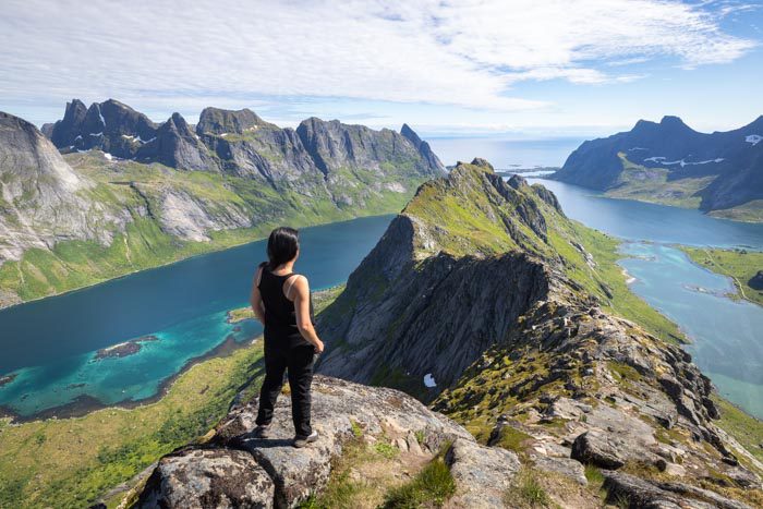
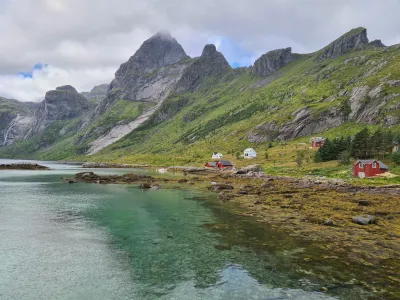
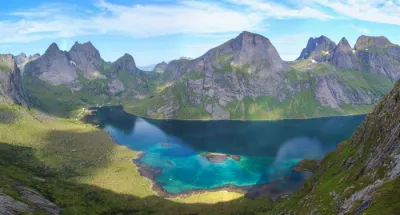
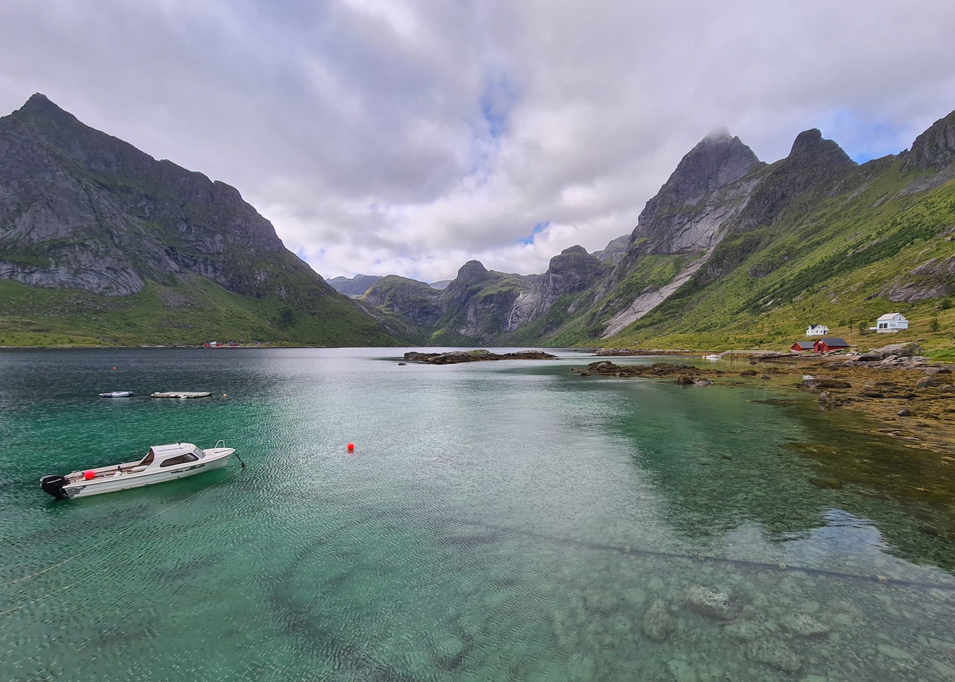
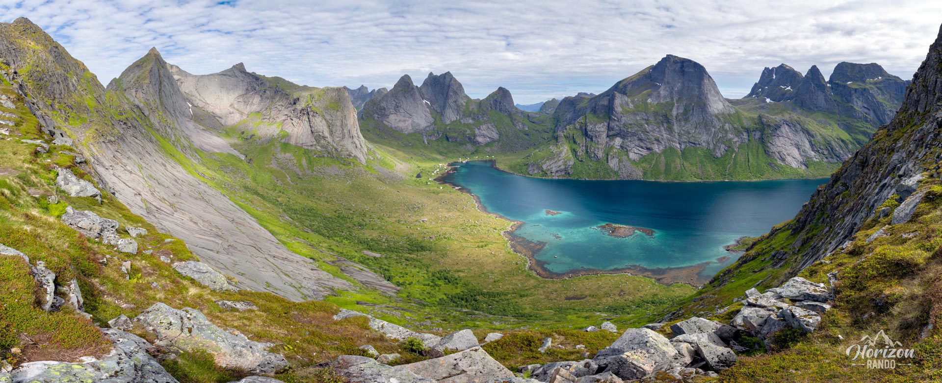
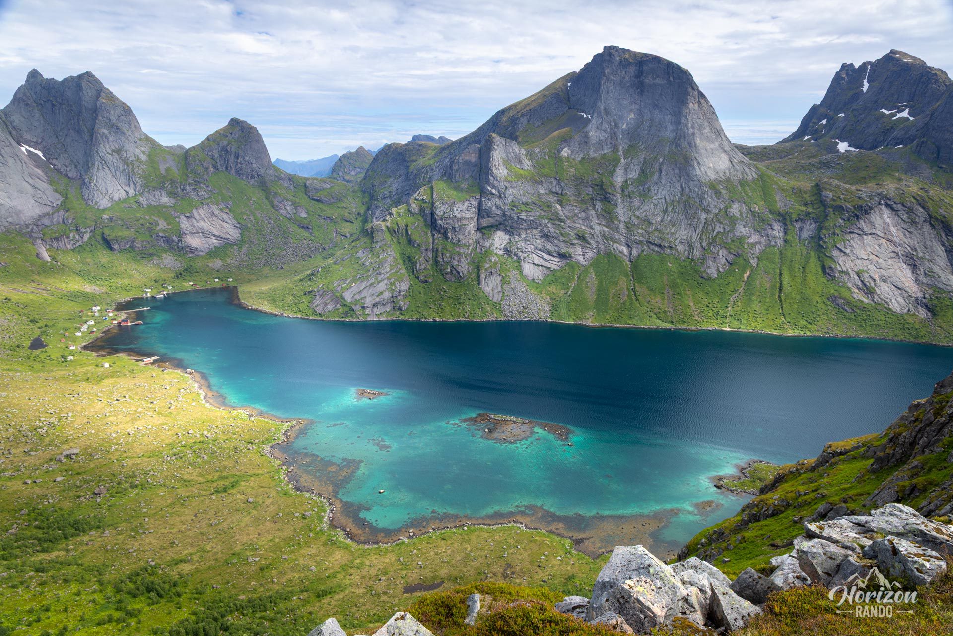
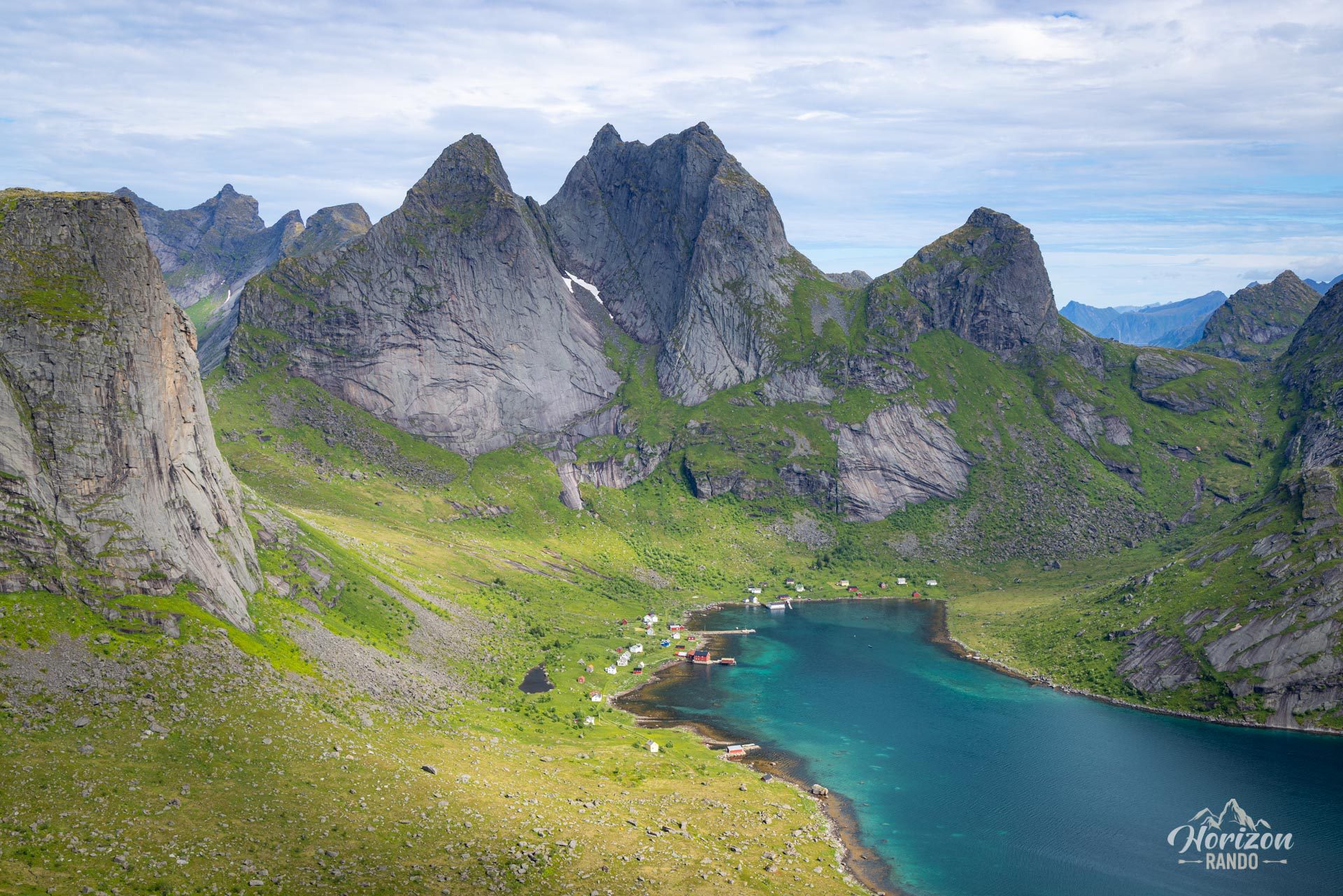
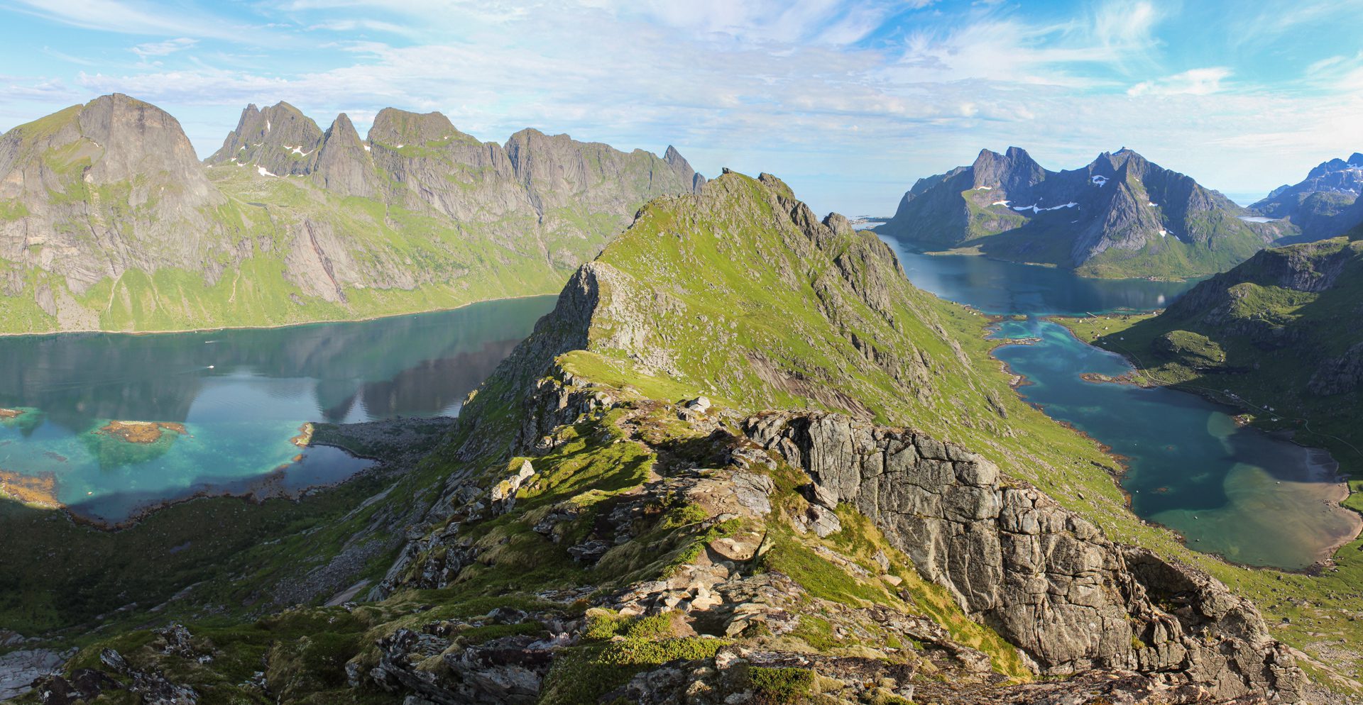
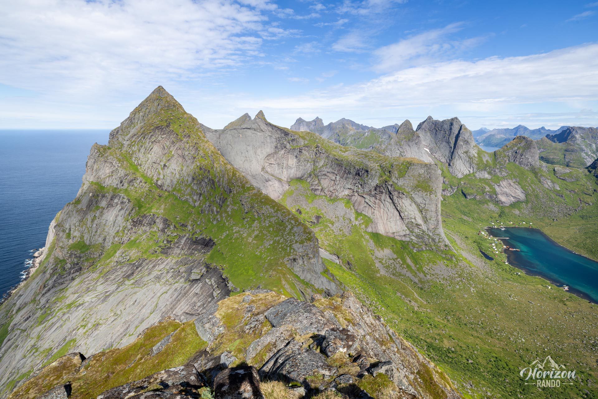
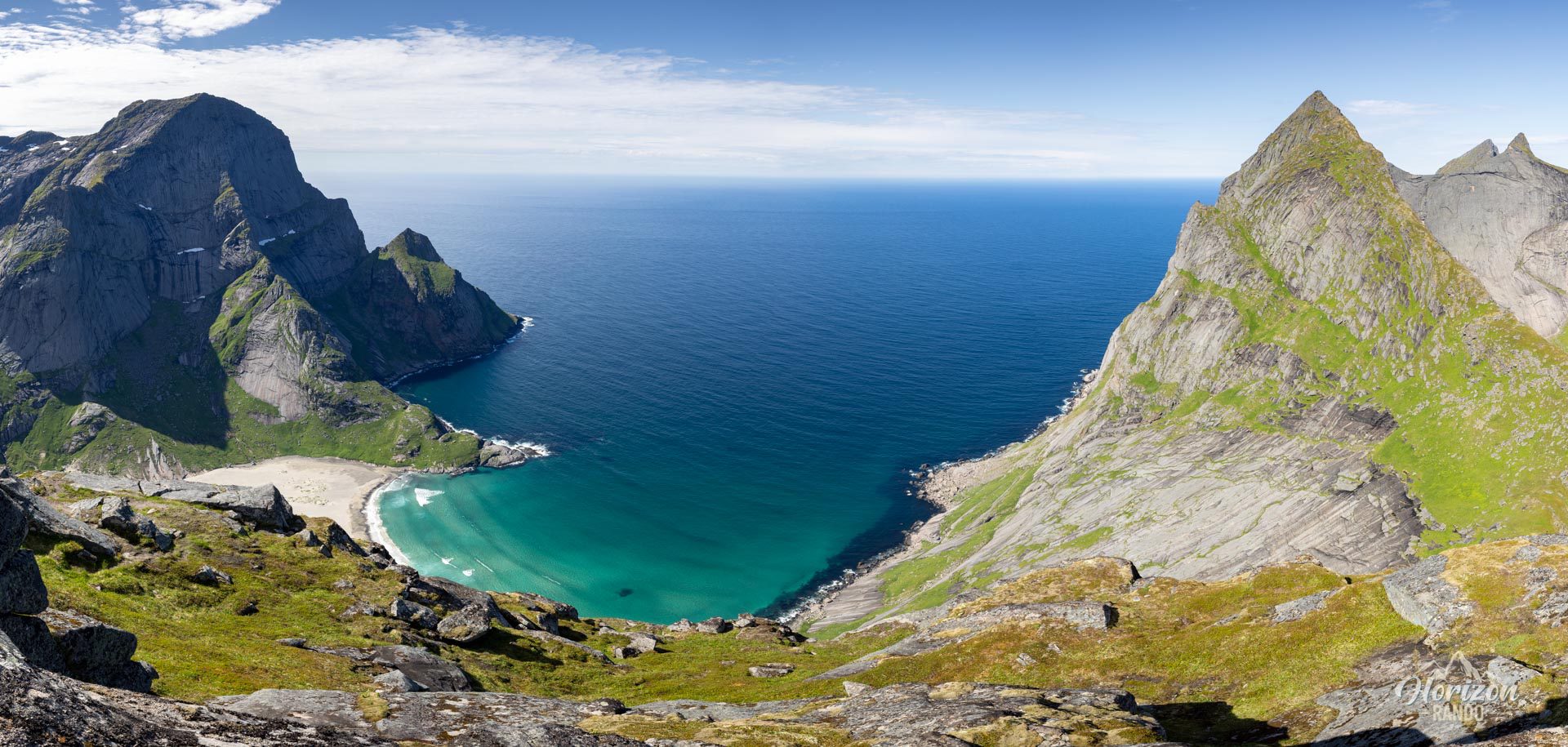
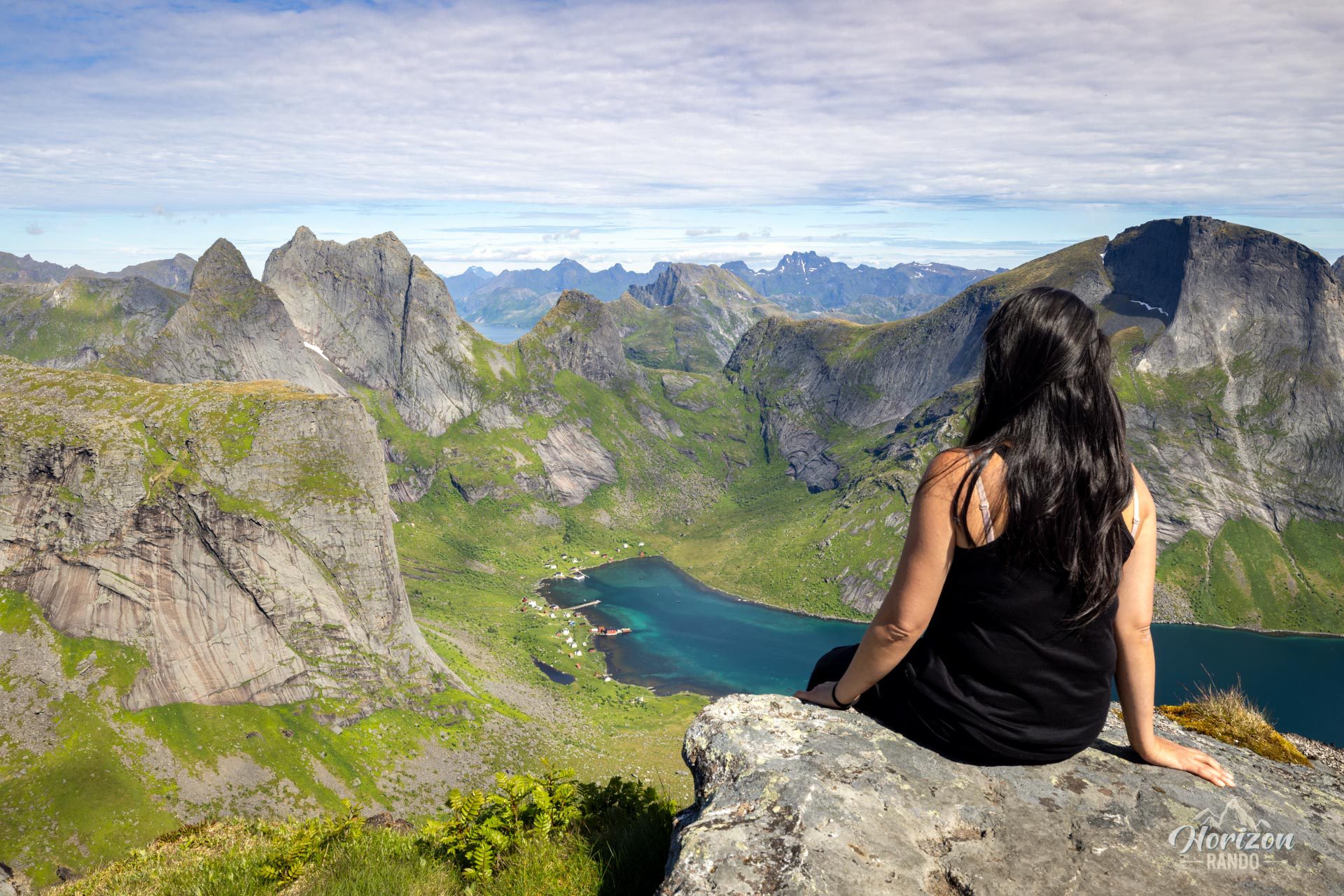
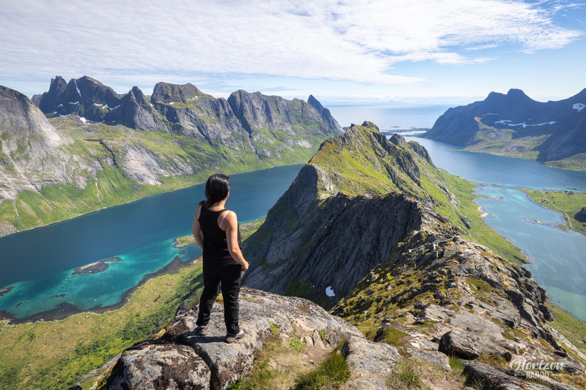
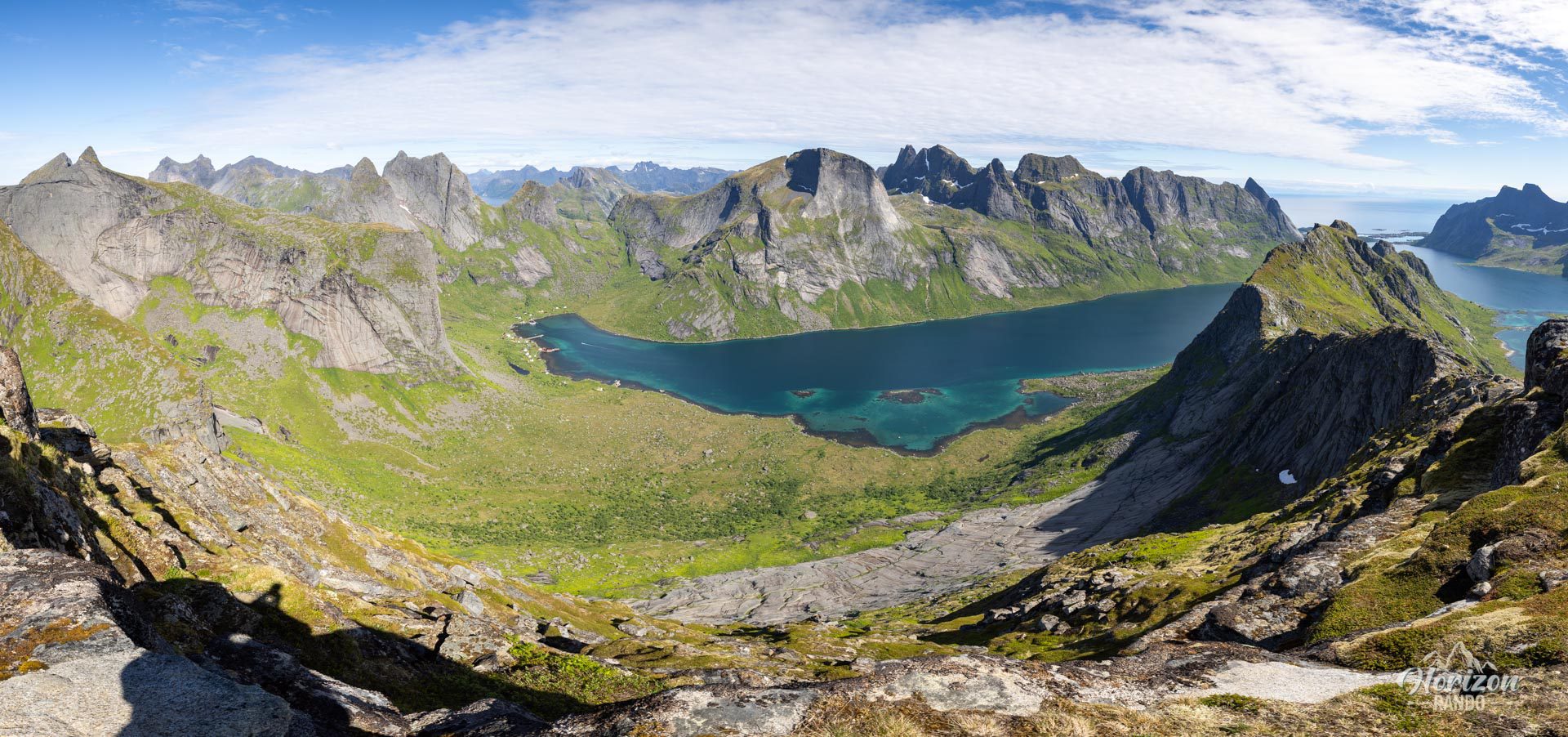
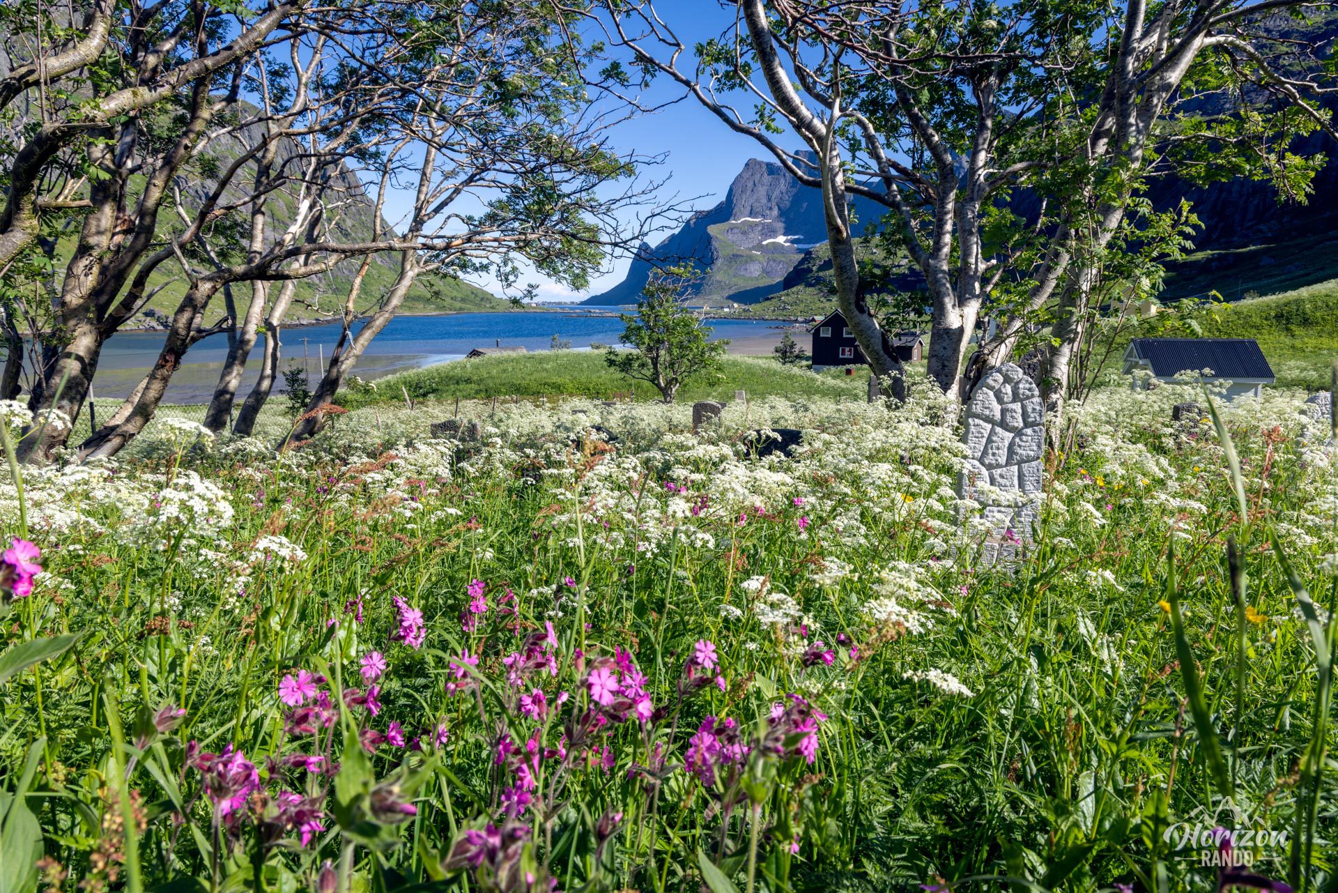
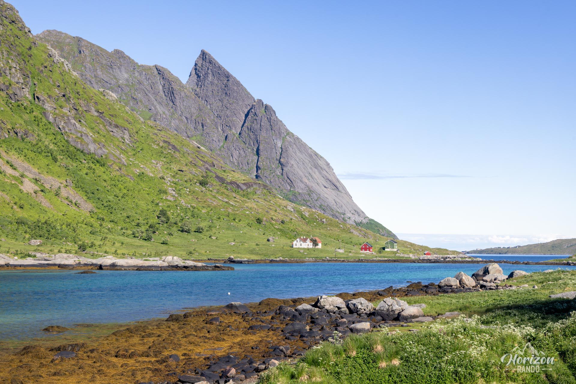
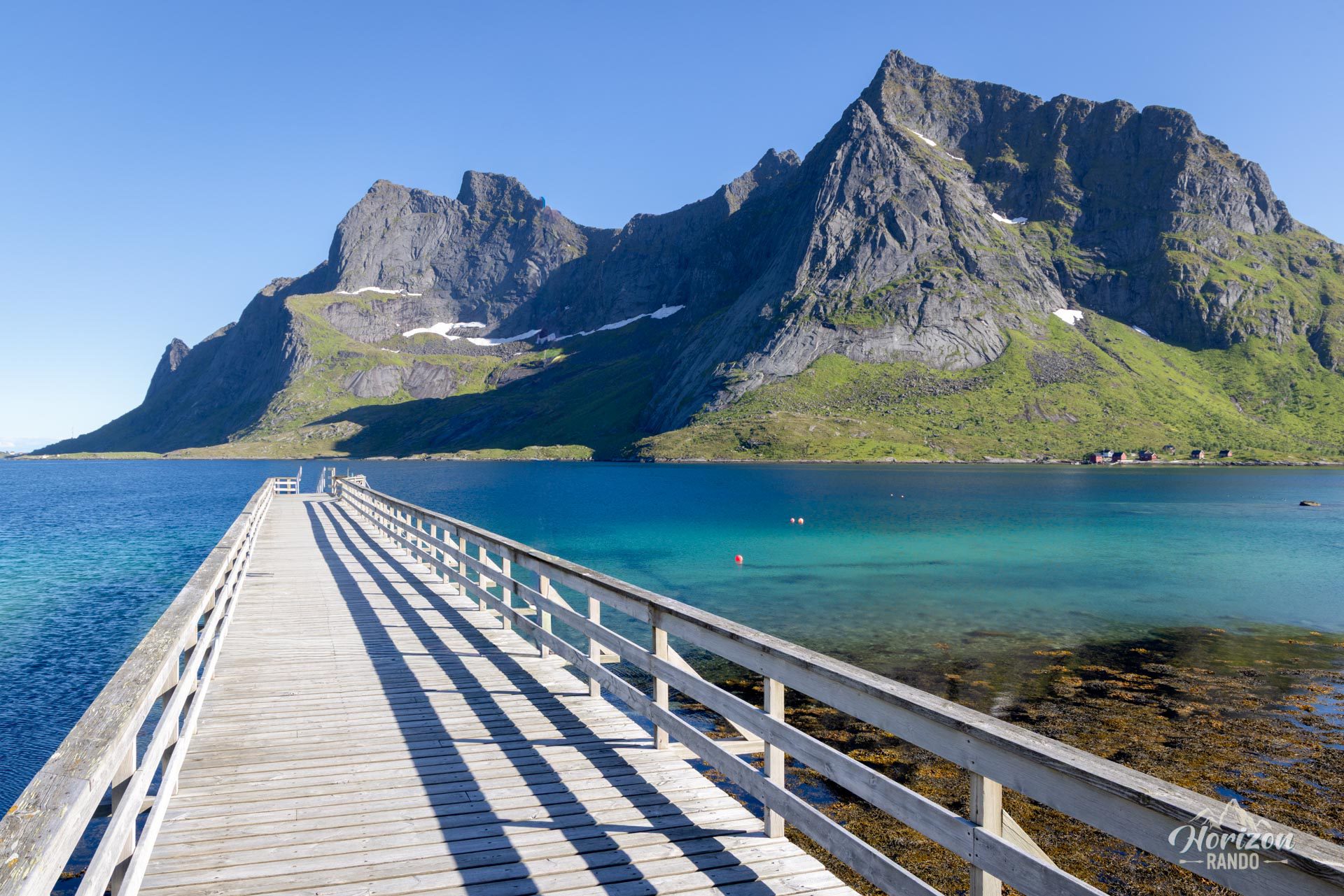
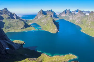
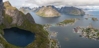
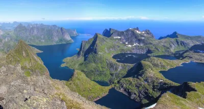
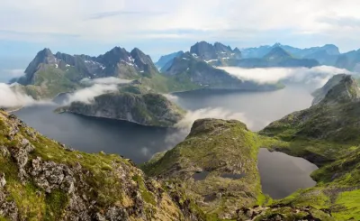
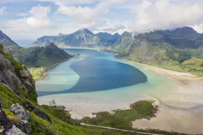
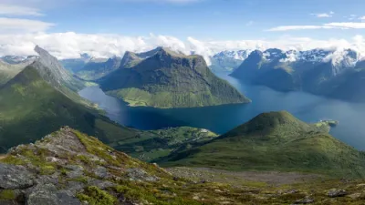
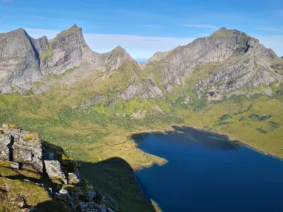
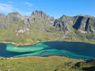
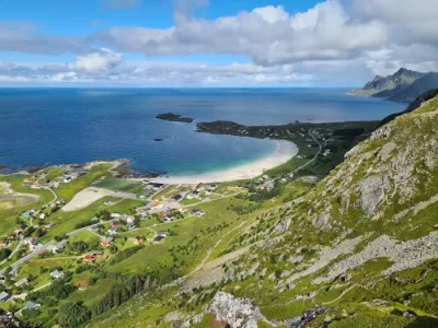
The hike up Helvetestinden (602 m) takes you to the summit of an impressive granite peak in the heart of the Lofoten archipelago, accessible only by boat from Reine. This spectacular climb offers exceptional views of the turquoise waters of Bunesfjord and Kjerkfjord, sharp mountain ranges, and colorful villages of this iconic region.
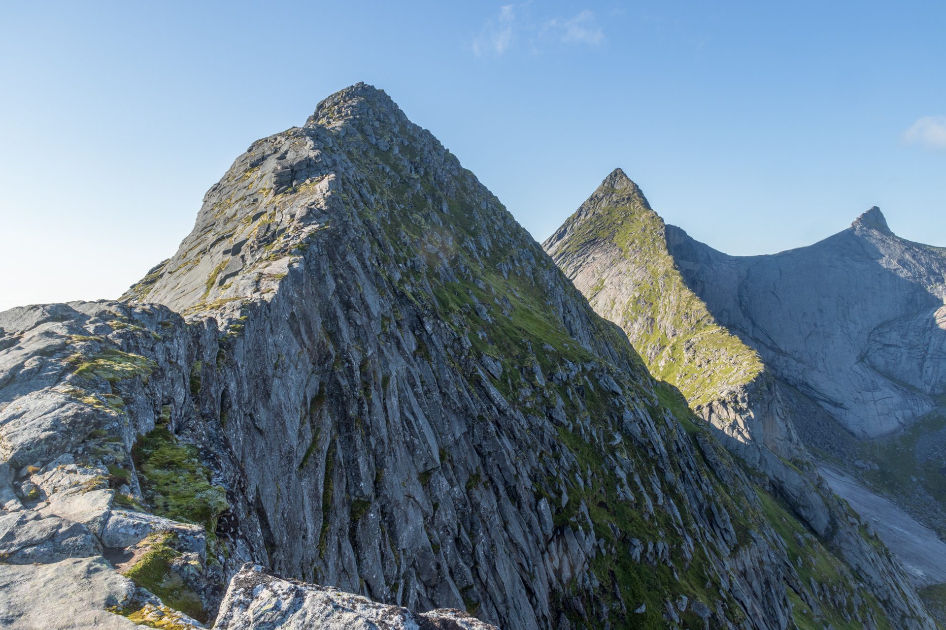
However, the final section to the summit has exposed and vertiginous passages that are only suitable for experienced hikers who are not afraid of heights.
Map and elevation profile of the hike
Helvetestinden Hike
Difficulties of the hike
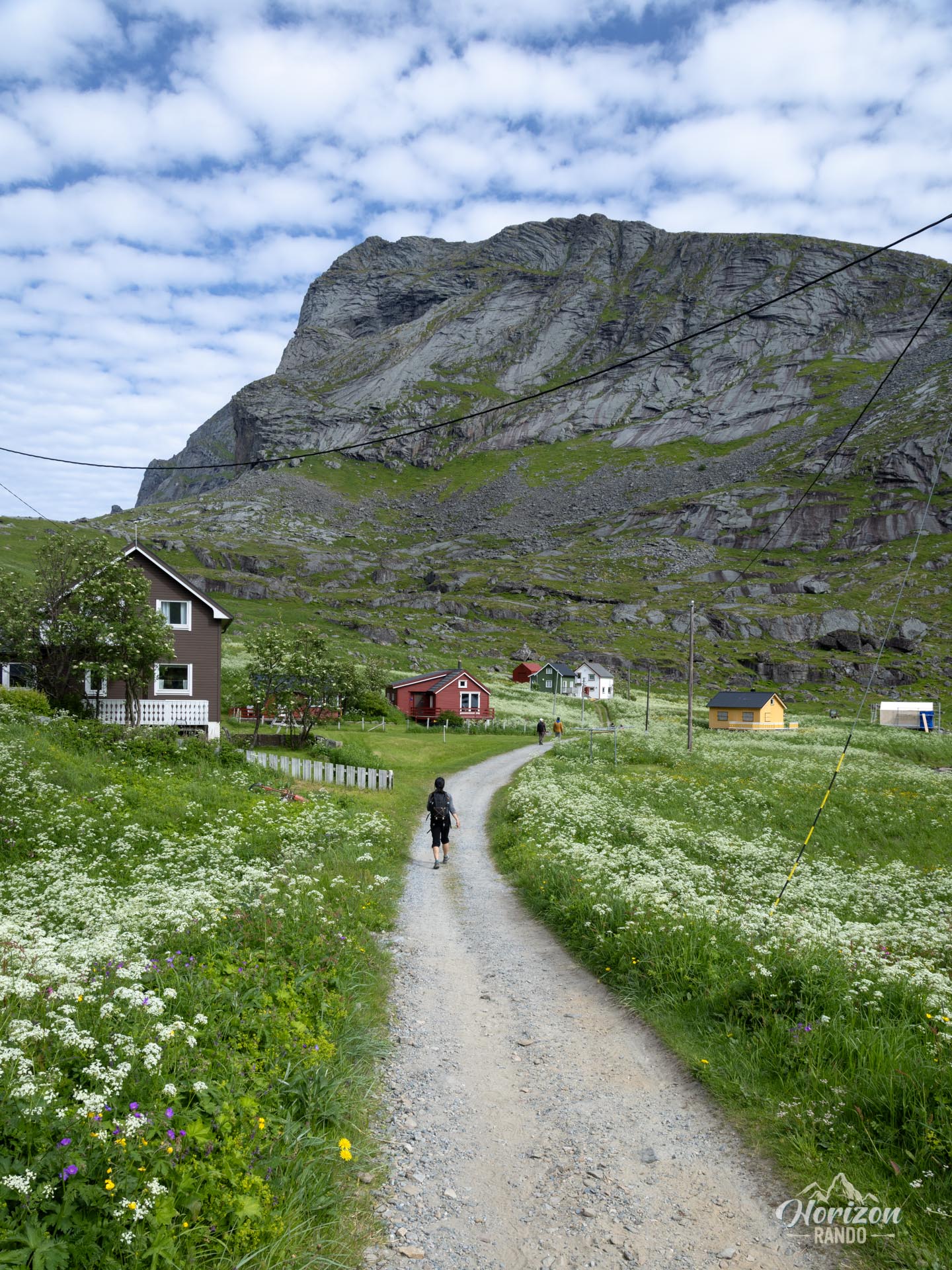
The first part of the route to the summit of Brunakseltinden (513 m) follows a clearly visible, fairly busy trail with no technical difficulties.
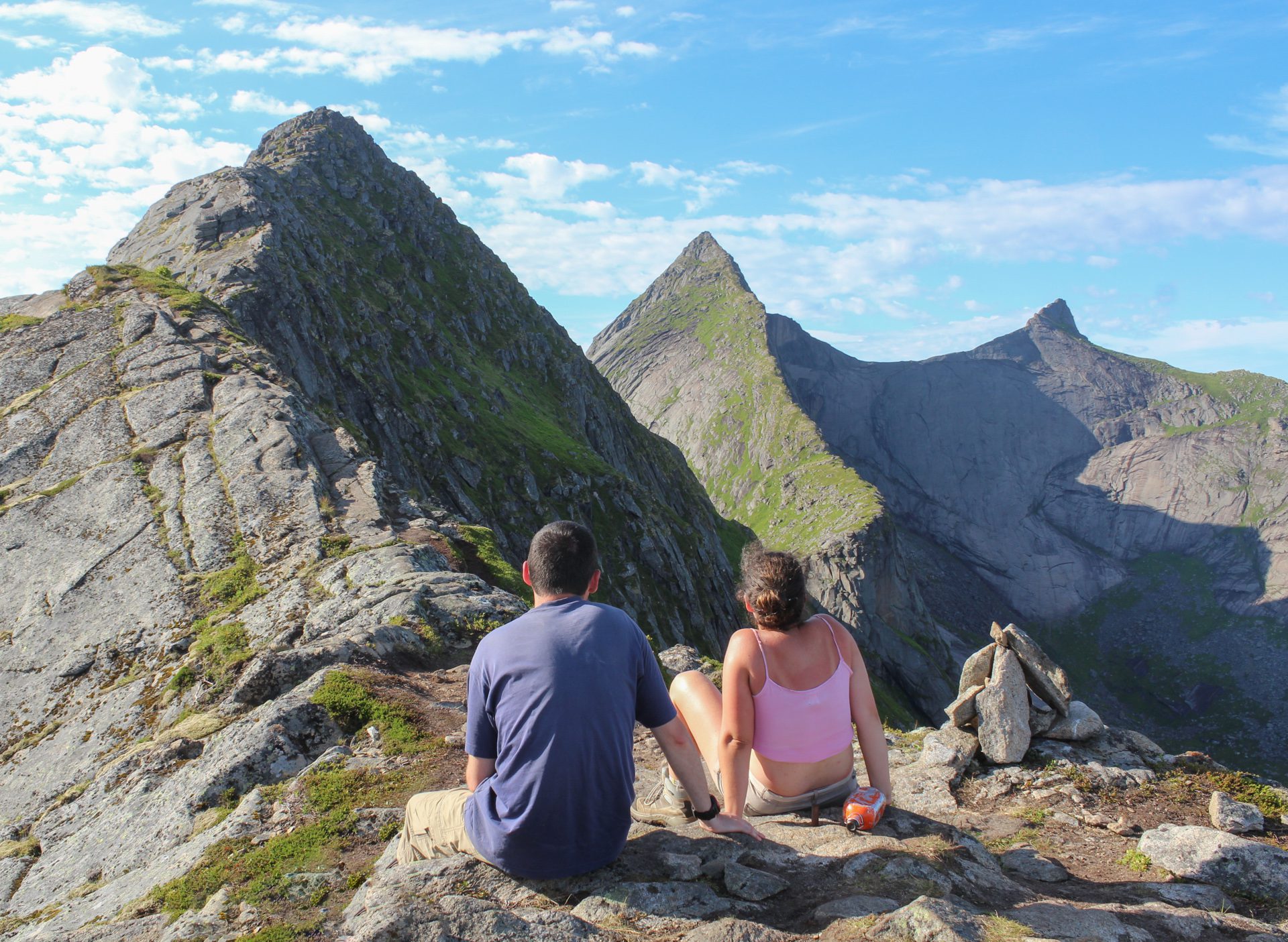
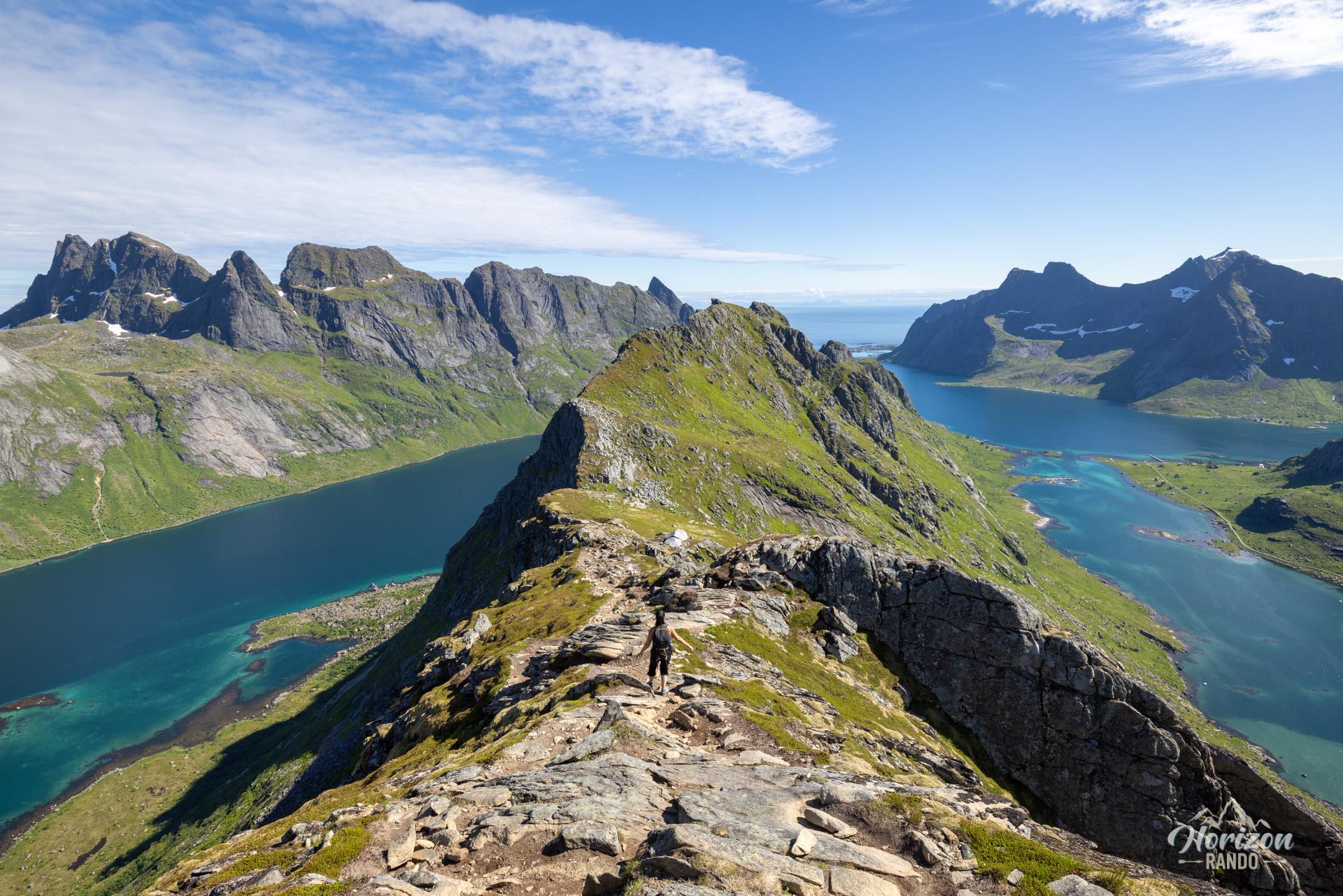
Beyond that, the route gives way to a very vertiginous off-trail section where mistakes are not permitted. The route follows a narrow ridge, mainly on granite slabs that can become slippery in wet weather. This section requires some easy climbing, but with a drop on either side. Constant vigilance and solid mountain experience are essential for this final section.
What you'll love
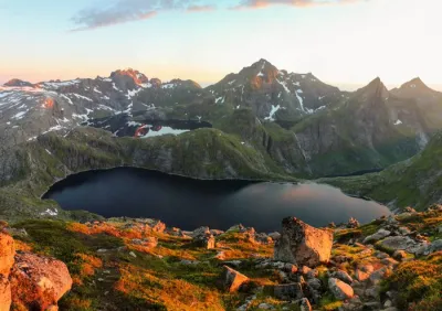
- Exceptional summit panorama: magnificent views of the beautiful Lofoten mountain ranges, turquoise fjords, long beaches, and colorful villages.
- A unique sense of adventure: a spectacular climb up a sharp ridge directly overlooking the ocean, providing an intense feeling of freedom.
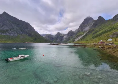
- Picturesque boat trip across the Reinefjorden to reach the starting point, a memorable experience in itself.
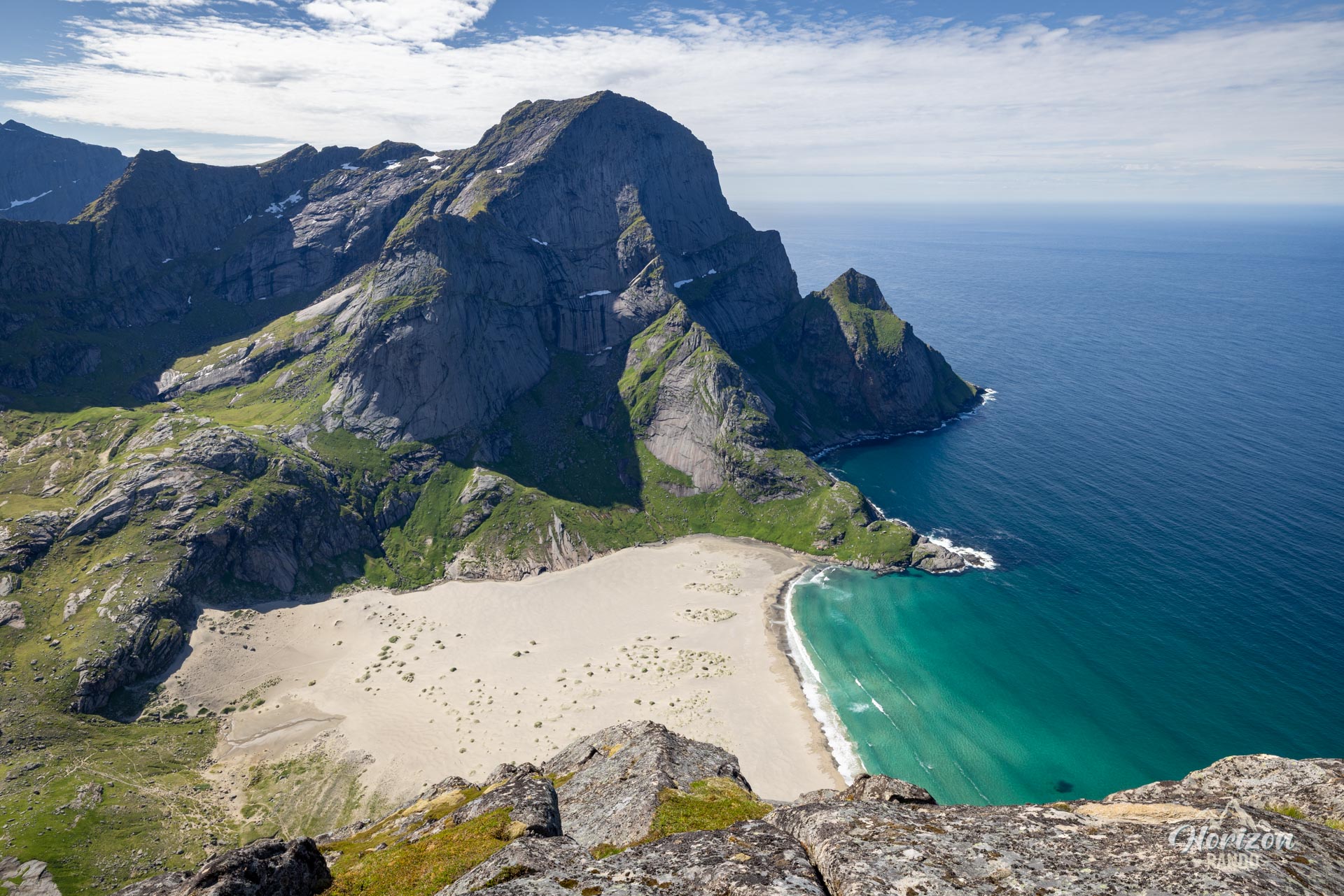
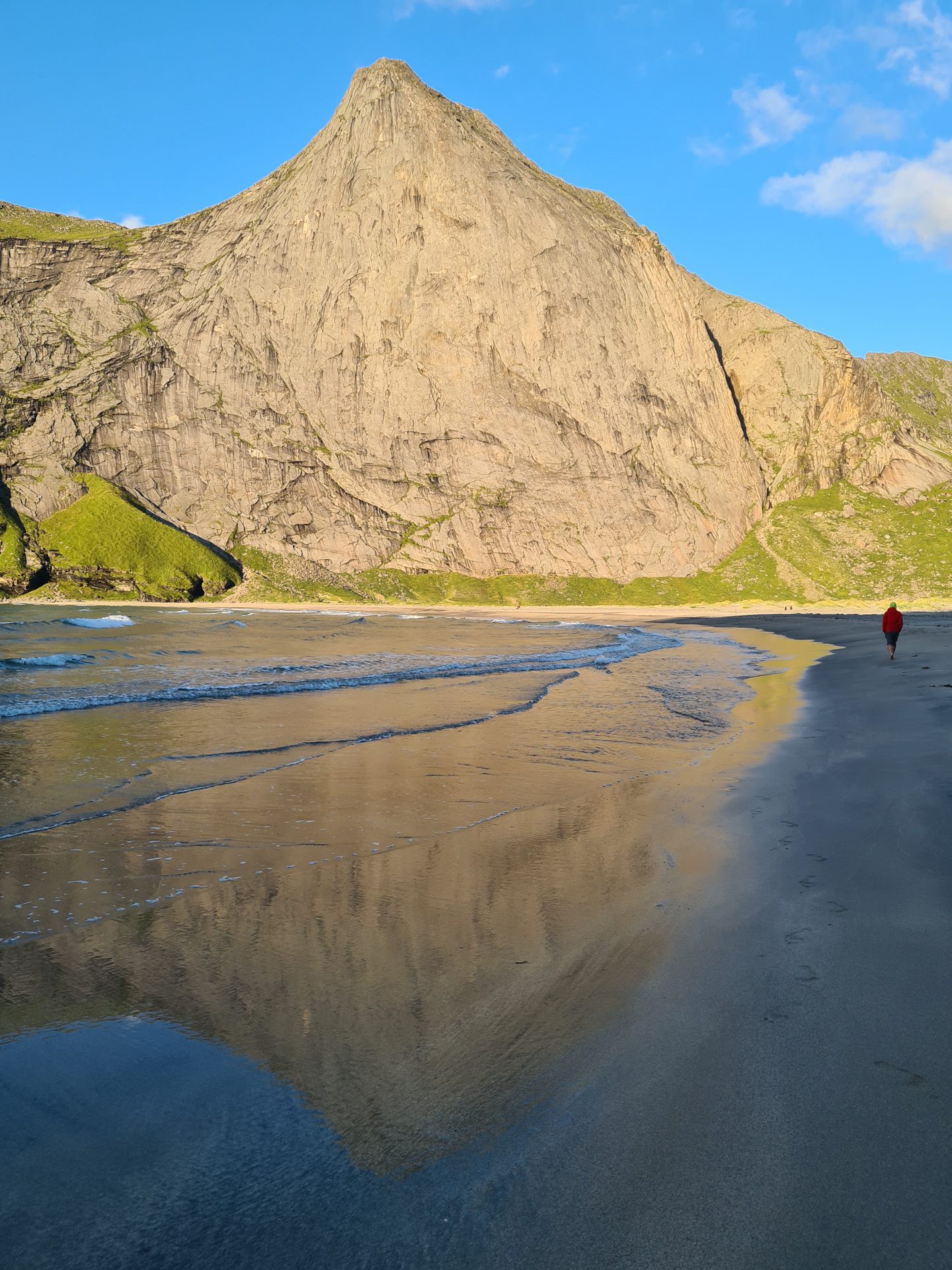
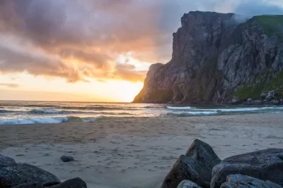
- Access to the magnificent Bunes Beach : option of taking a slight detour to this remarkable beach, the perfect place to camp or take a refreshing dip!
Practical information
Access by boat required
Vindstad can only be accessed by boat from Reine, with 2 to 4 departures daily, depending on the season. You can check the timetables on the Reis Nordland website.
Best time to go
June to September on average. See the Norway FAQ for more details.
Safety
This hike is exclusively for experienced hikers who are completely comfortable with heights. If you have any doubts about your abilities, stick to the summit of Brunakseltinden, which offers spectacular views without the dangers of the final section.
Photos
See all 23 photos →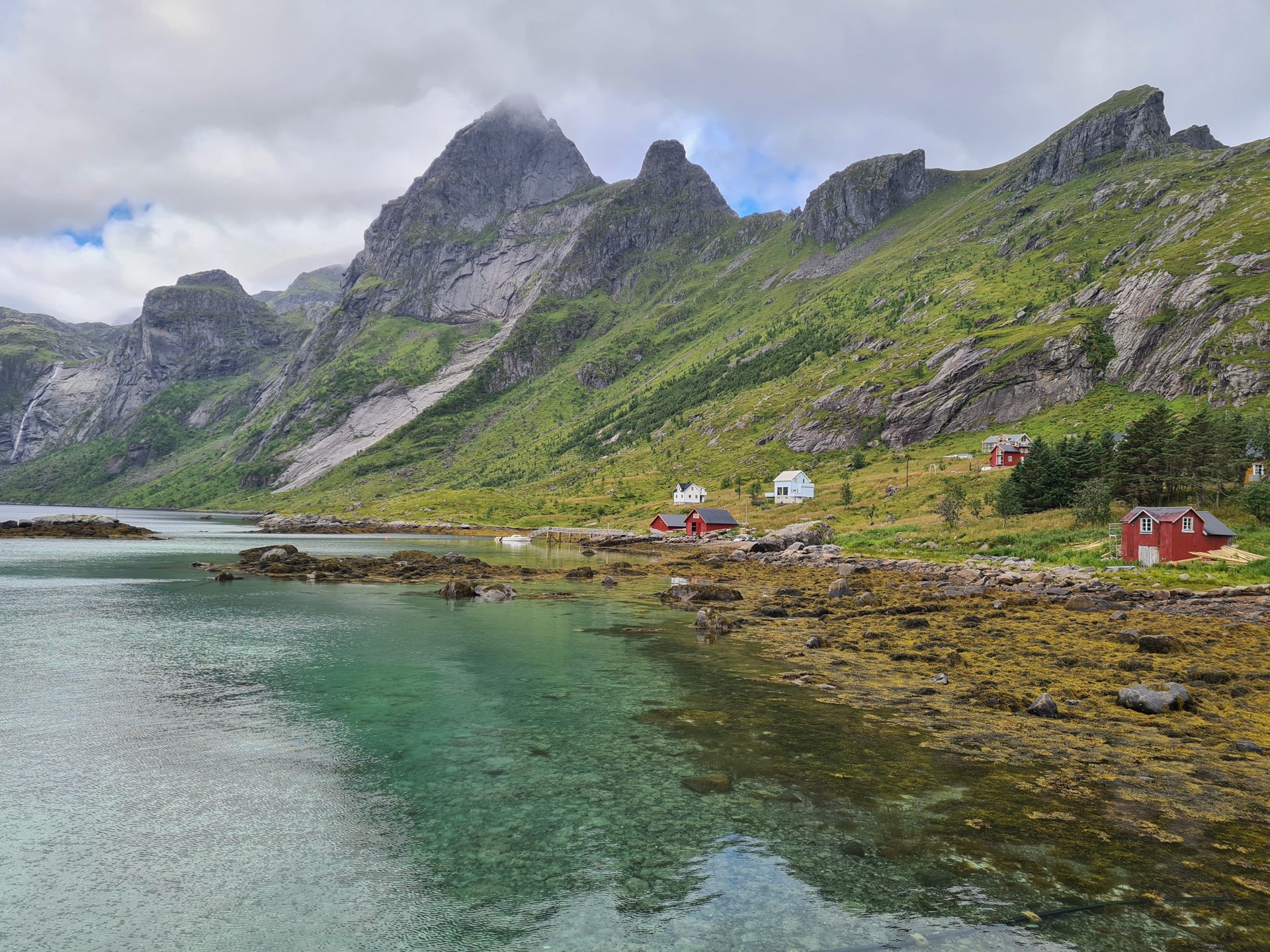
More hikes to do in Norway
Nearby hikes

















Printed from www.horizonrando.fr/en/norway/helvetestinden/