






Storhornet Hike
Key facts about the hike
- Difficulty
- Moderate Hikes are rated from very easy to very hard: my difficulty scale
- Duration
- 4h Estimated time, short breaks included (photos, water, snacks), picnic not included: how it is calculated
- Distance
- 9.3km
- Elevation gain
- 730m
- Type of route
- Loop
- Maximum altitude
- 497 m
- Vertiginous Five levels, depending on how exposed the route is: the levels in detail
- Slightly
- Marked
- No
- Popularity
- Moderate
- County
- Møre og Romsdal
- Start point
- 62.48455, 5.98598
- Activity
- Hiking
Hike overview
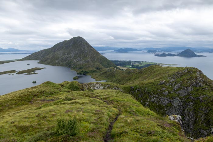
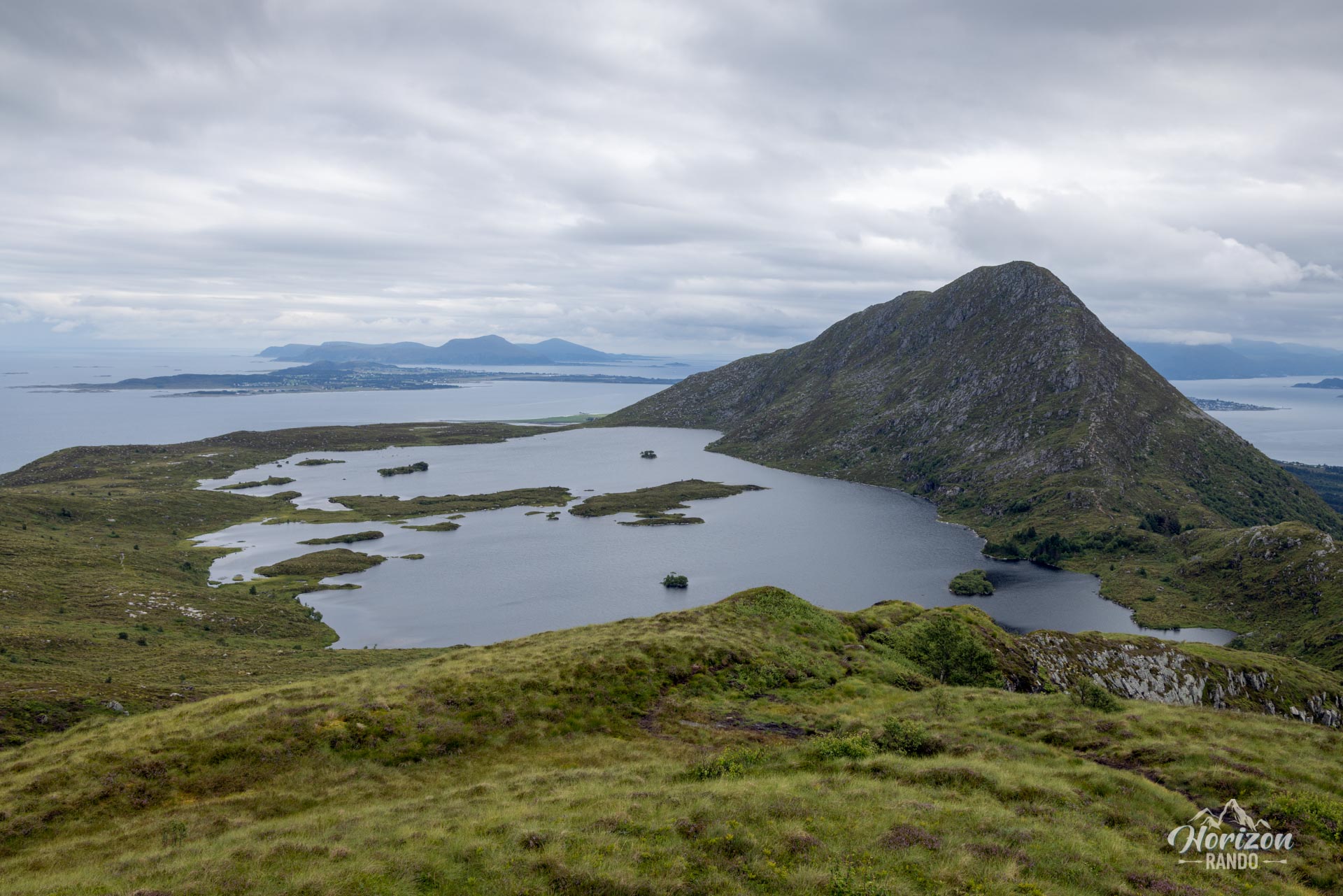
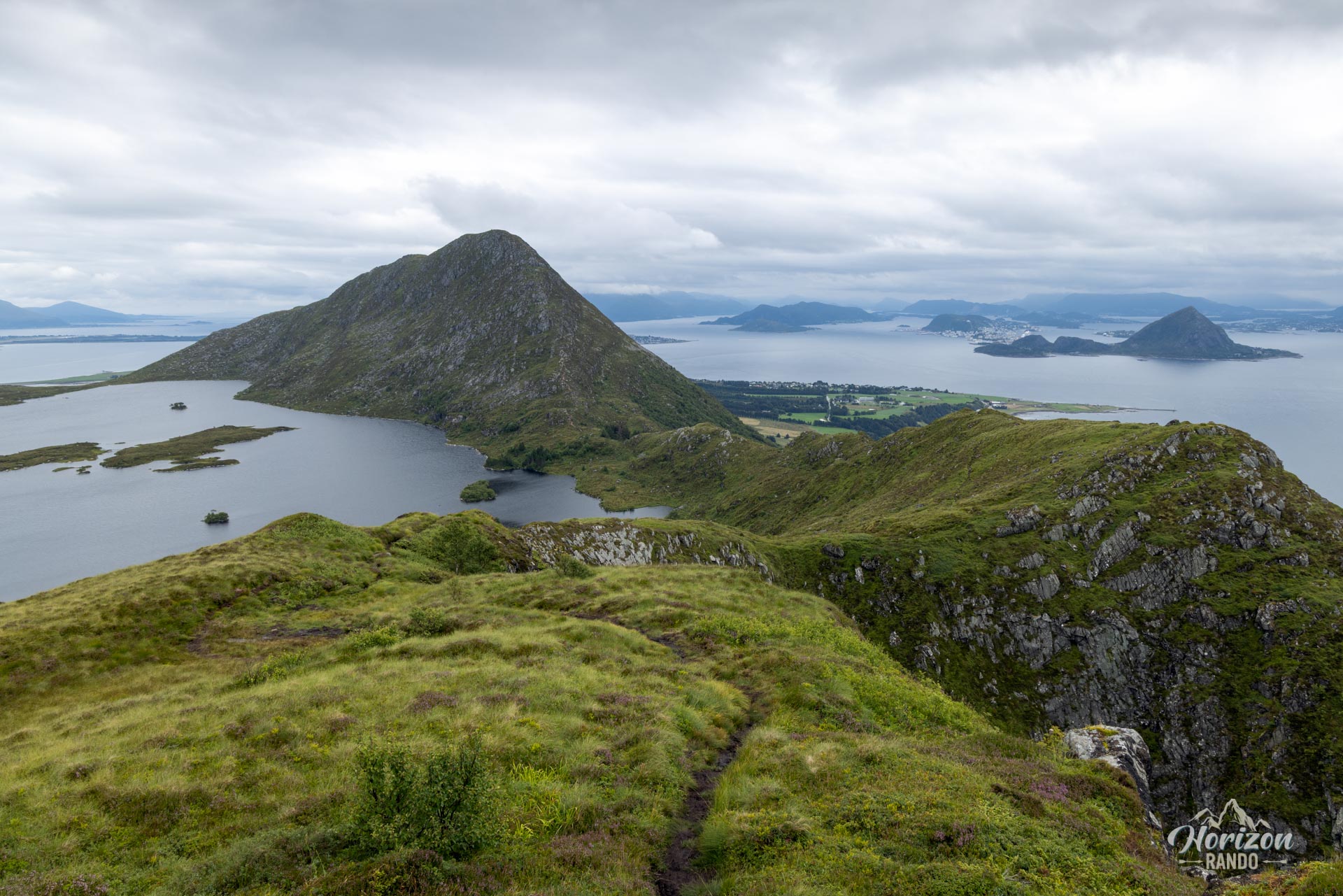
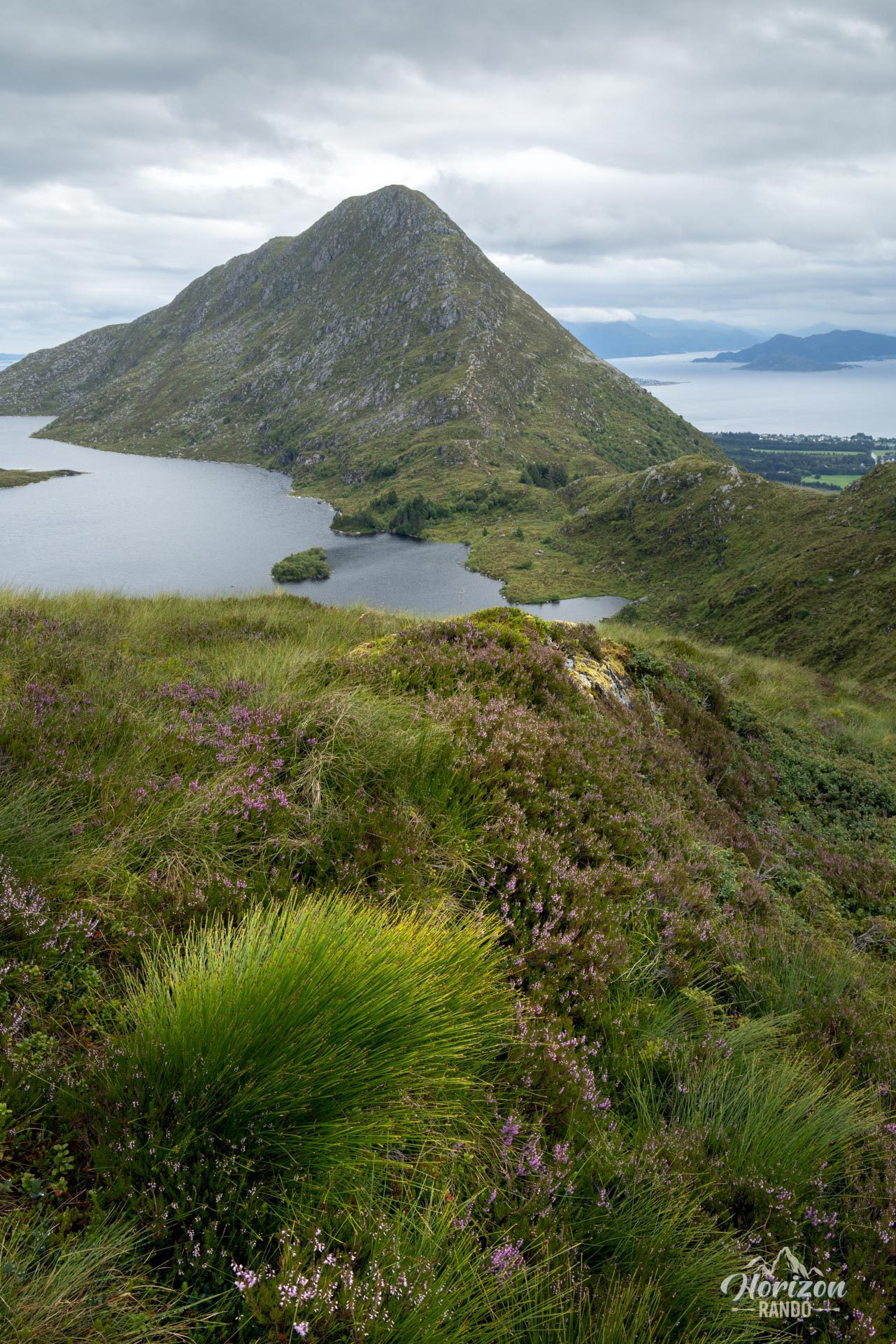
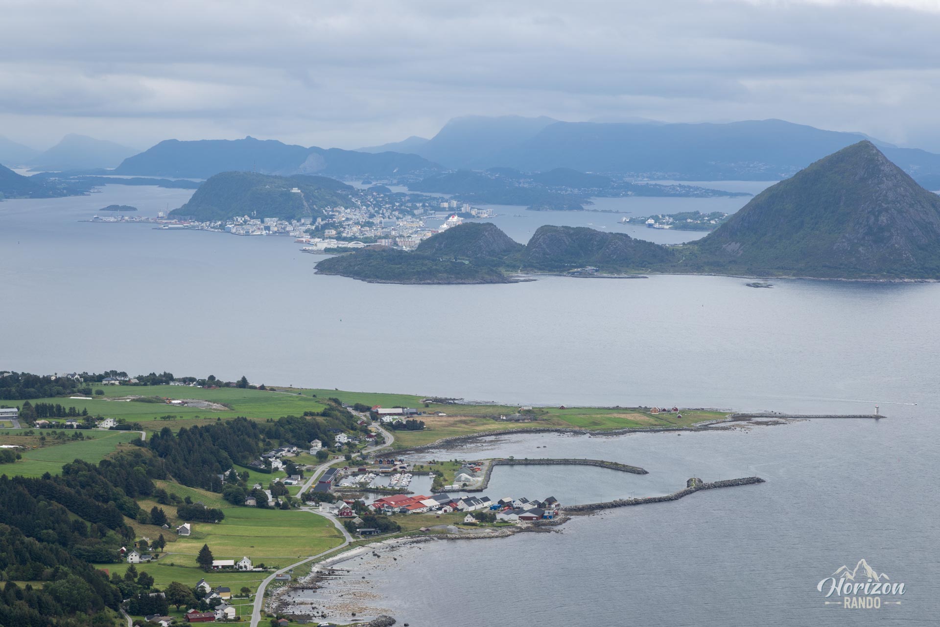
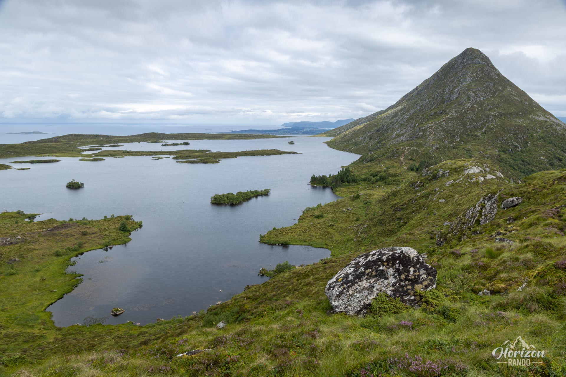
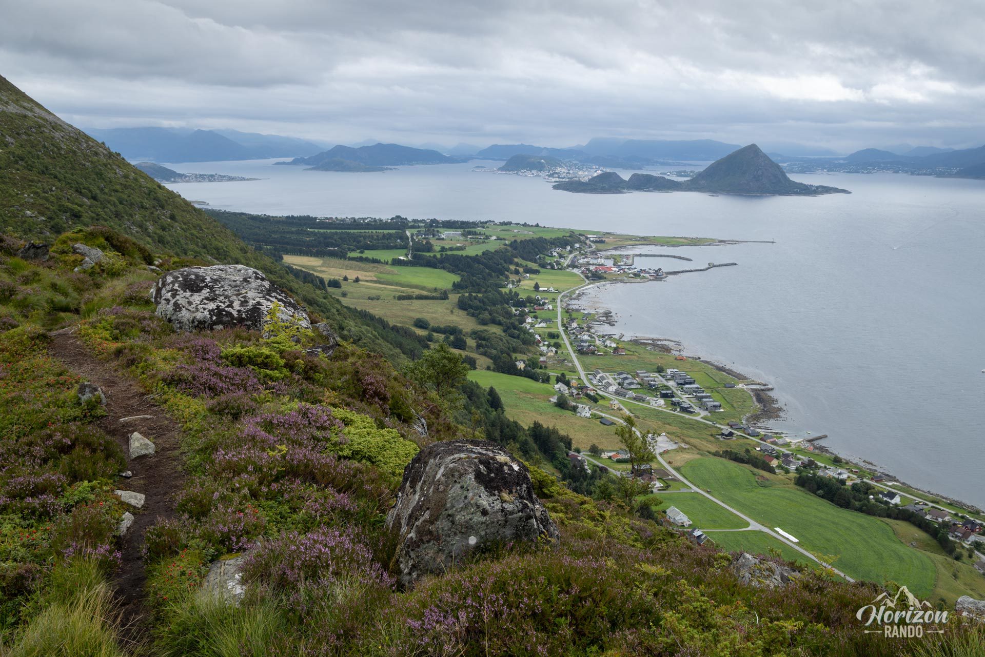
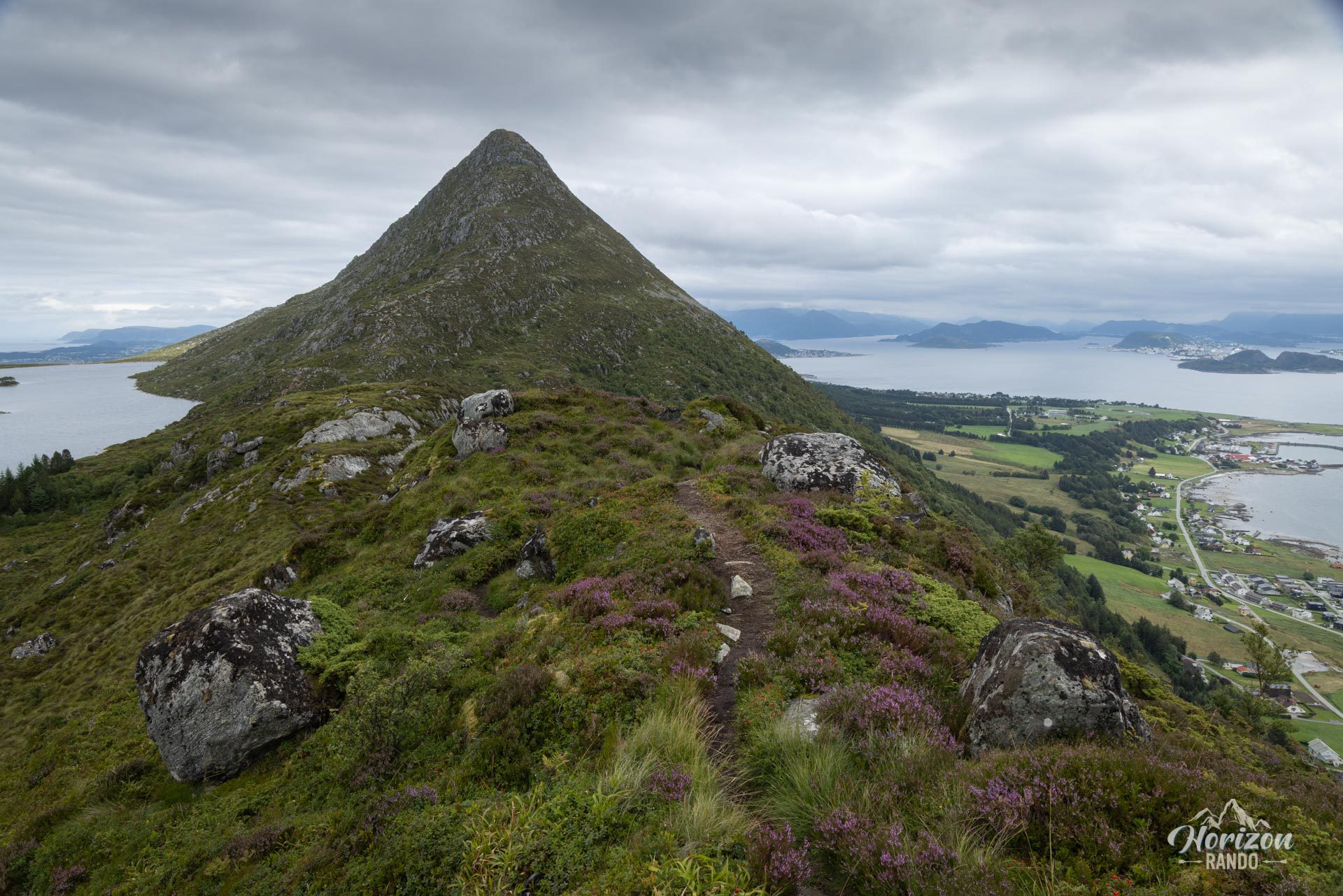
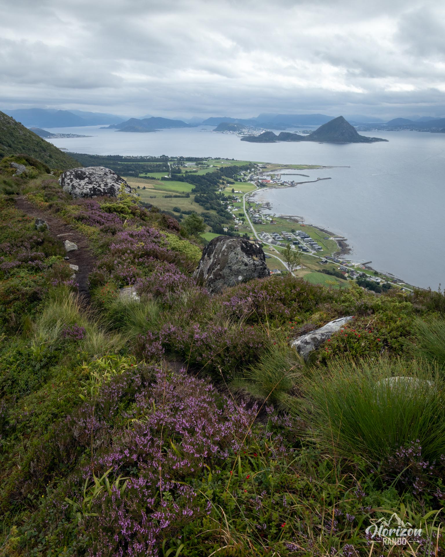
Towering over Godøya Island at a height of 497 meters, Storhornet, whose evocative name means “Great Horn,” is a must-see peak in the immediate vicinity of Ålesund. Its accessibility, greatly facilitated by underwater tunnels from the city, makes it a popular hike in Norway. From the summit, hikers can take in the immensity of the Atlantic Ocean, the surrounding archipelago, and the spectacular Sunnmøre Alps. Even from Ålesund, Storhornet's massive silhouette stands out as a natural beacon of adventure.
Map and elevation profile of the hike
Storhornet Hike
Description and difficulties of the hike
Technically, the Storhornet hiking route is not particularly difficult. The first section of the ascent to the picturesque Alnesvatnet Lake has recently been improved with wide stone steps, which make the initial climb easier.
Beyond the lake, the route becomes a traditional, unmarked mountain trail that winds through the mountain's gentle slopes. Caution is advised here, as there are several confusing forks in the trail, especially without a GPS or map.
Those who are not equipped are recommended to follow the route back to the summit. The main trail is well marked and well traveled, which limits the risk of getting lost.
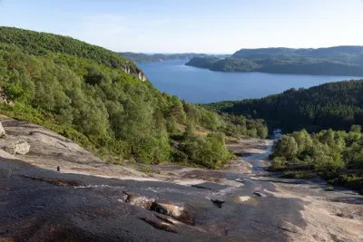
The loop to the west reveals a wilder and more isolated side of Godøya with spectacular sea views and a sense of being at the end of the world.
What you'll love
- An exceptional panorama: From the summit, a panoramic view opens up over the Atlantic Ocean, Ålesund and its archipelago, and the impressive Sunnmøre Alps.
- An authentic getaway: Far from the hustle and bustle of Ålesund, this hike offers a breath of fresh air and pristine natural surroundings between the sea and the mountains.
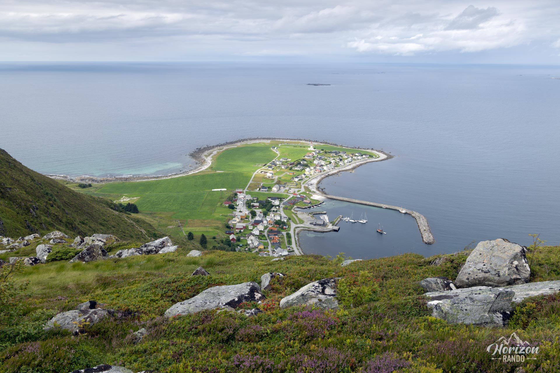
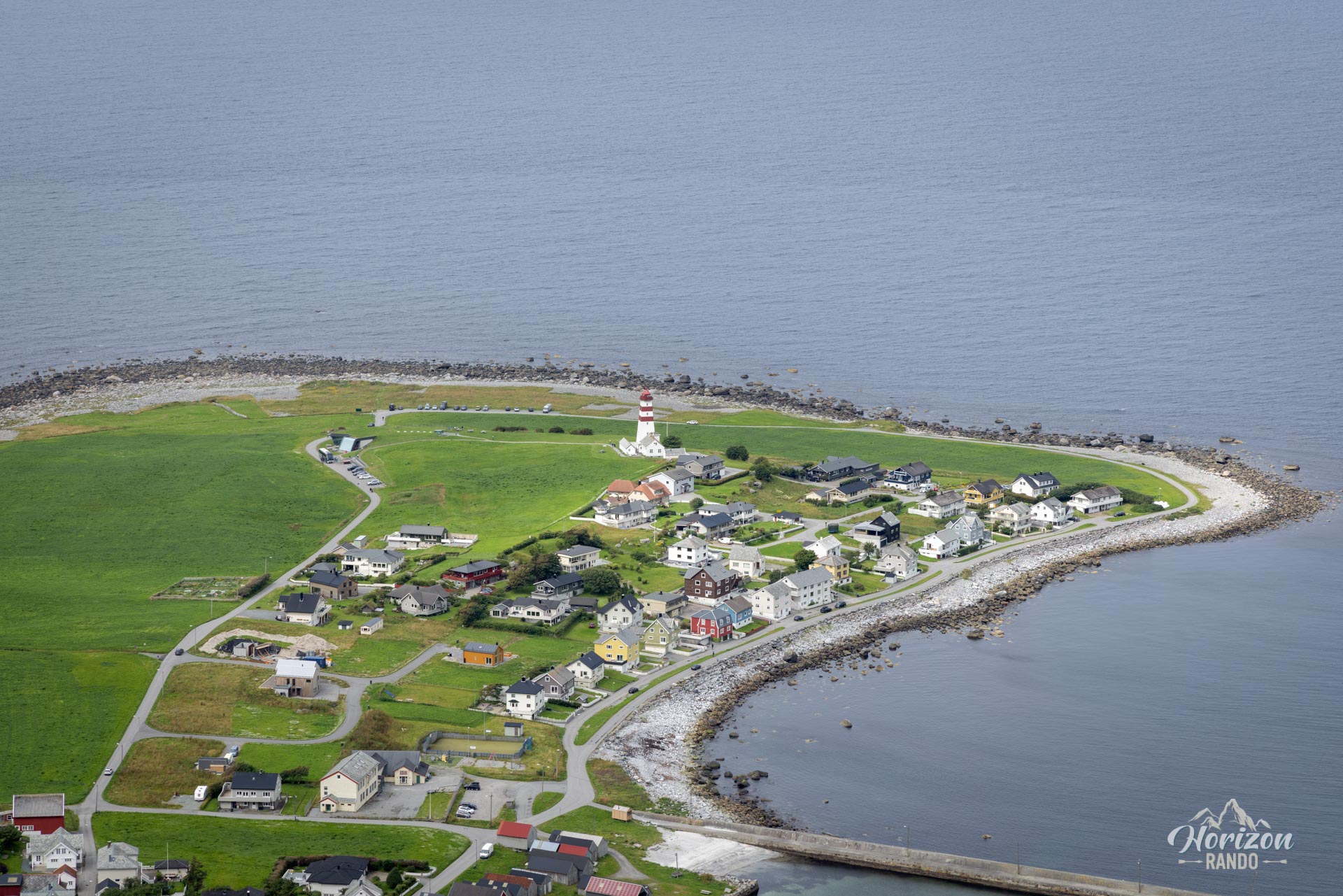
- A cultural stopover: Extend your exploration with a visit to the charming fishing village of Alnes and its iconic lighthouse, beautifully situated by the sea.
- A taste of Lofoten: The rugged terrain, maritime atmosphere, and isolation of the island are reminiscent of the famous Lofoten hikes. After passing through the many underwater tunnels to reach Godøya, the westernmost island in the archipelago, you'll feel like you've reached the “end of the world.”
Practical information
Best time to go
From May to October, on average. See the Norway FAQ for more details.
Detour
During your ascent, keep an eye out for the short, optional detour to see the Johan Skytt rock. This photogenic rock formation with an impressive overhang, is often described by locals as a “mini Trolltunga.”
Photos
See all 11 photos →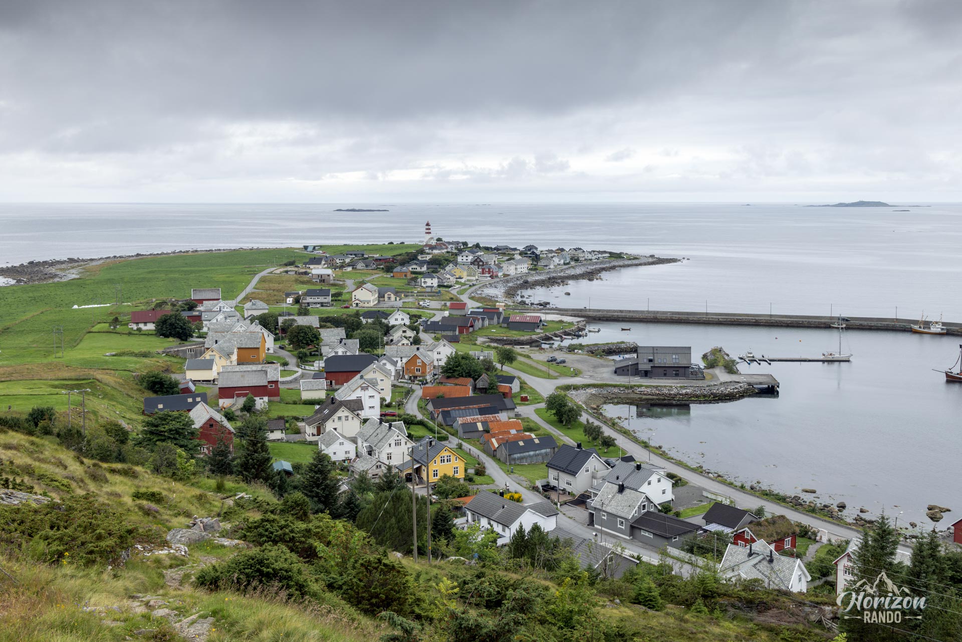
More hikes to do in Norway
Nearby hikes




















Printed from www.horizonrando.fr/en/norway/storhornet/