






Husedalen Waterfall Hike
Key facts about the hike
- Difficulty
- Moderate Hikes are rated from very easy to very hard: my difficulty scale
- Duration
- 4h30 Estimated time, short breaks included (photos, water, snacks), picnic not included: how it is calculated
- Distance
- 10.6km
- out and back
- Elevation gain
- 650m
- Type of route
- Out and back
- Maximum altitude
- 665 m
- Vertiginous Five levels, depending on how exposed the route is: the levels in detail
- Slightly
- Marked
- Partially
- Popularity
- Moderate
- County
- Vestland
- Start point
- 60.36336, 6.74359
- Activity
- Hiking
Hike overview
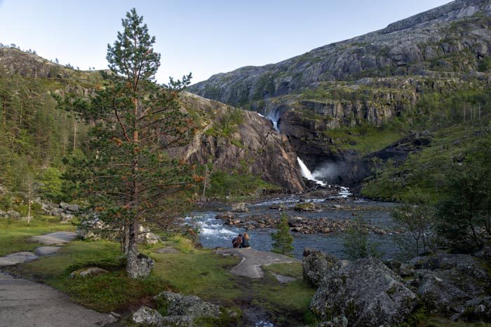
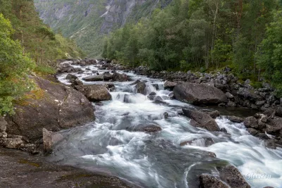
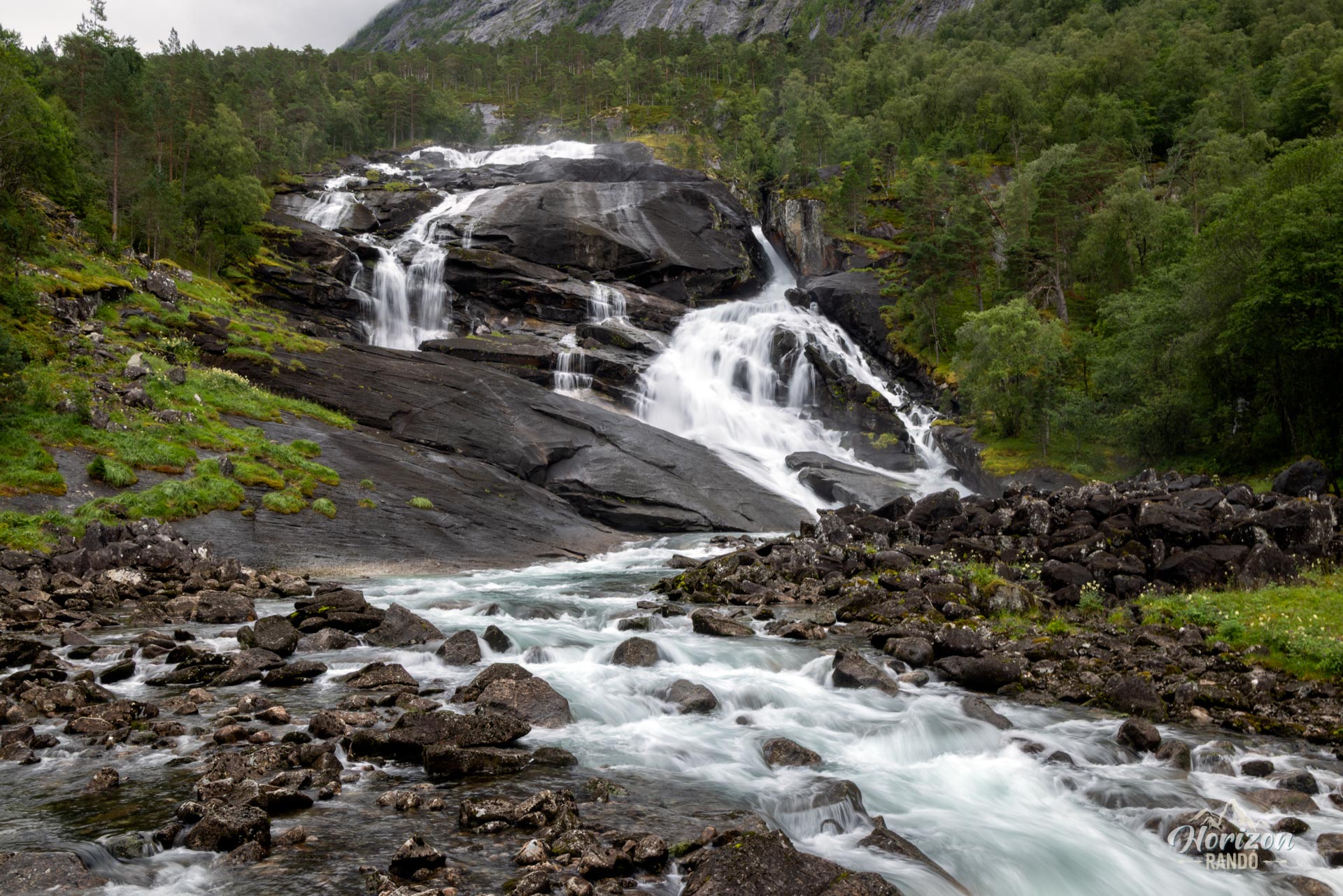
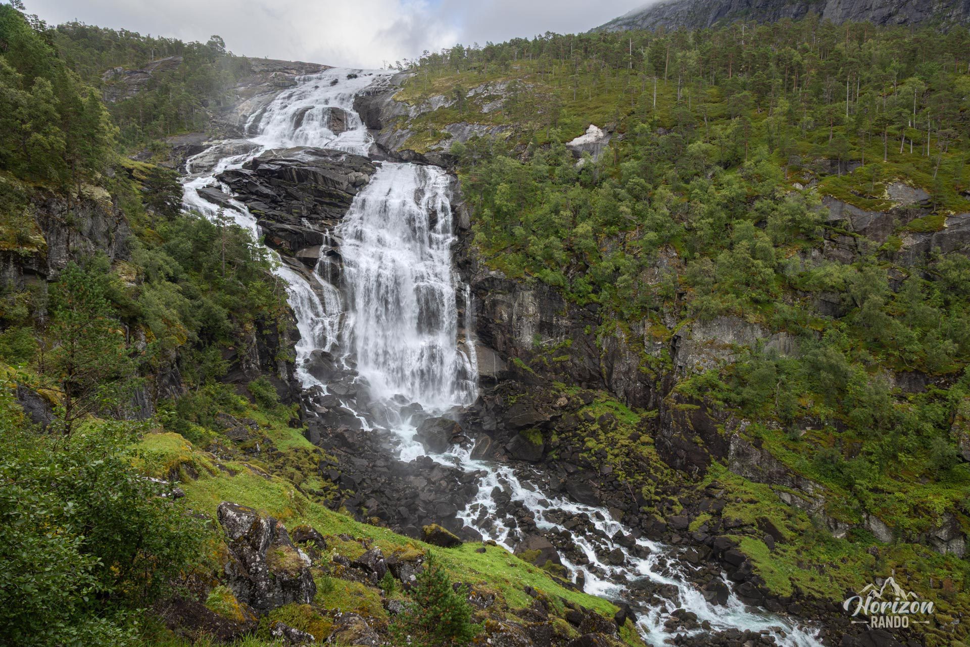
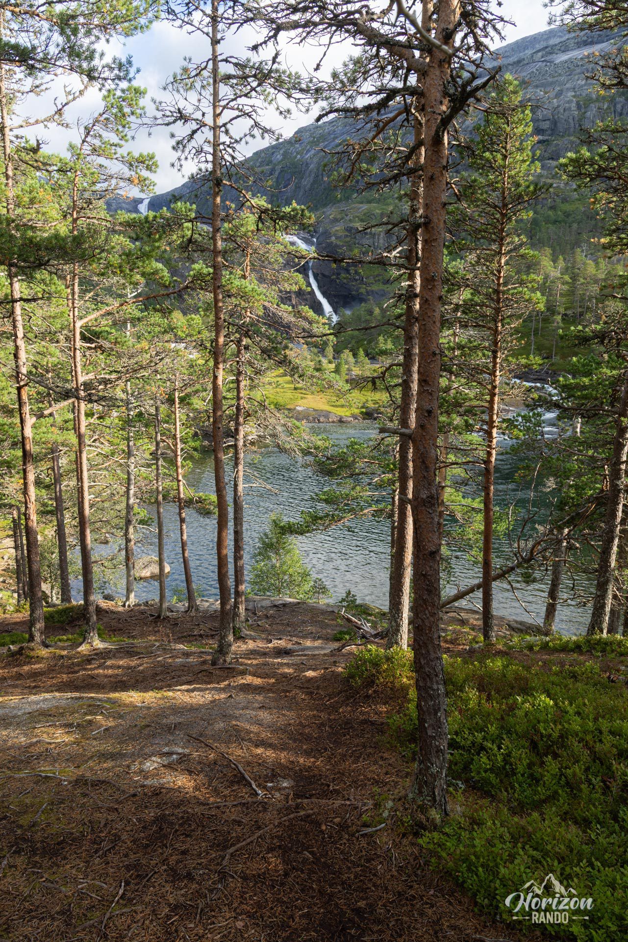
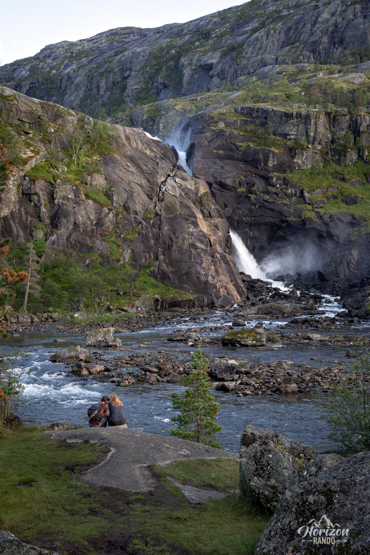
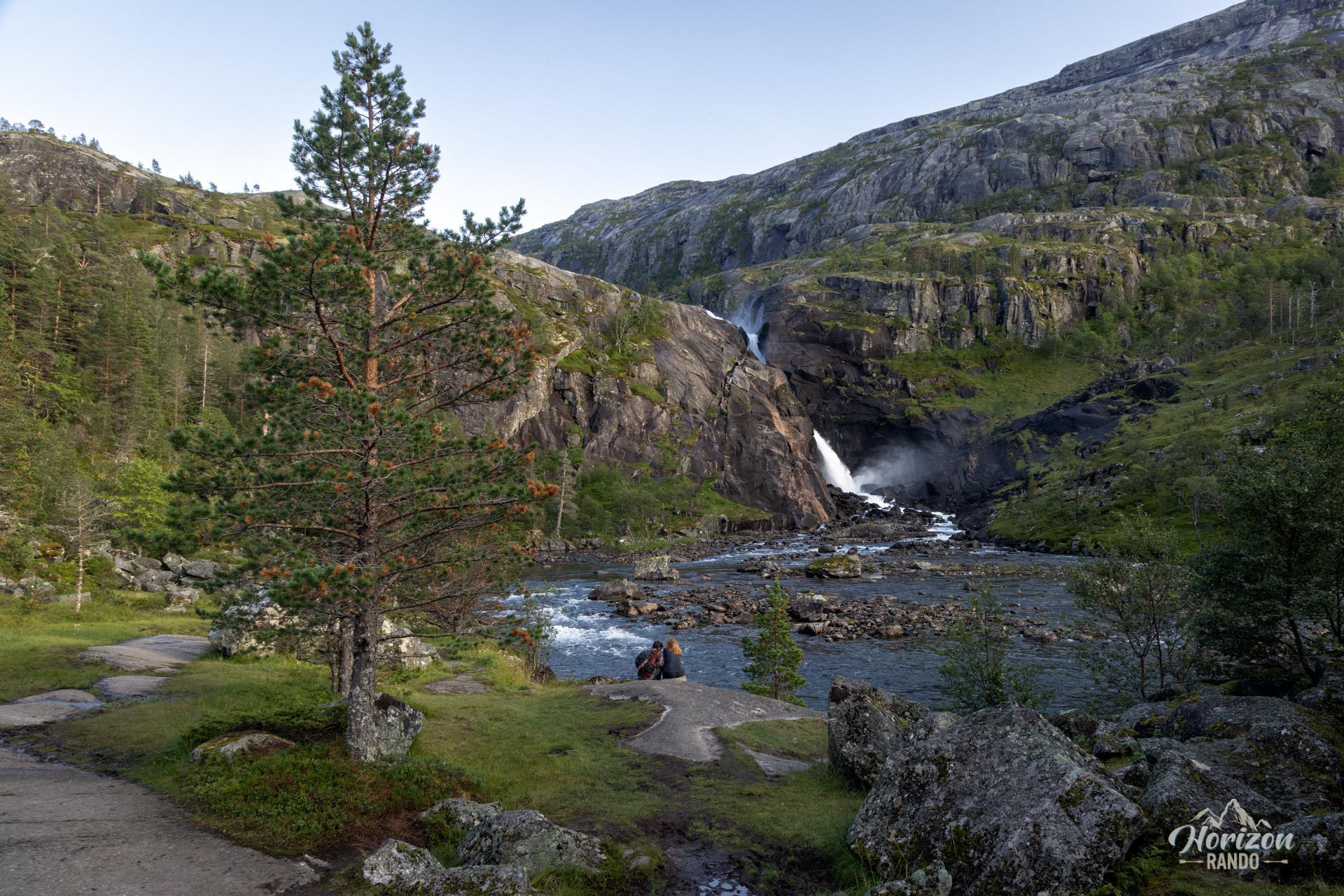
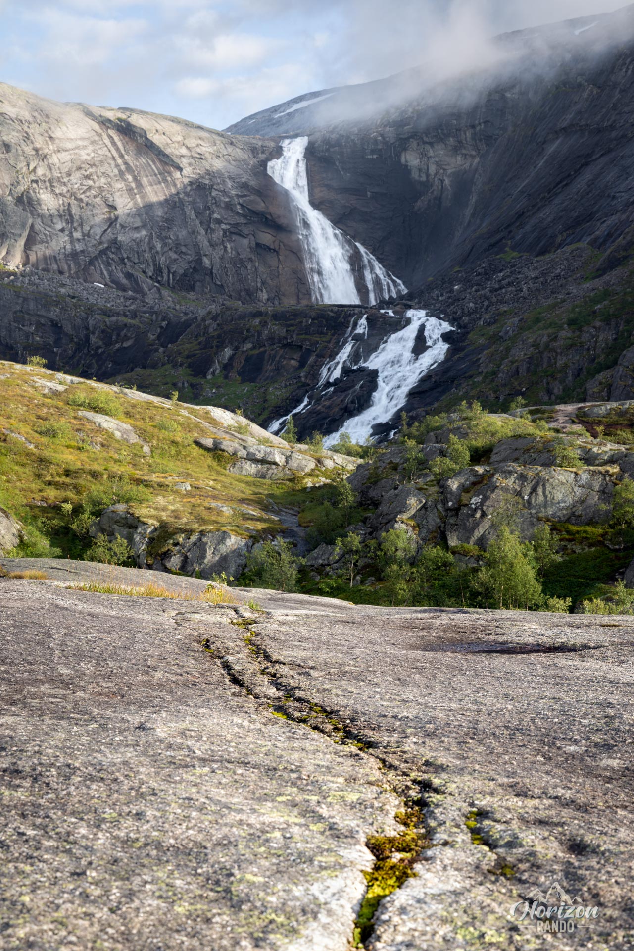
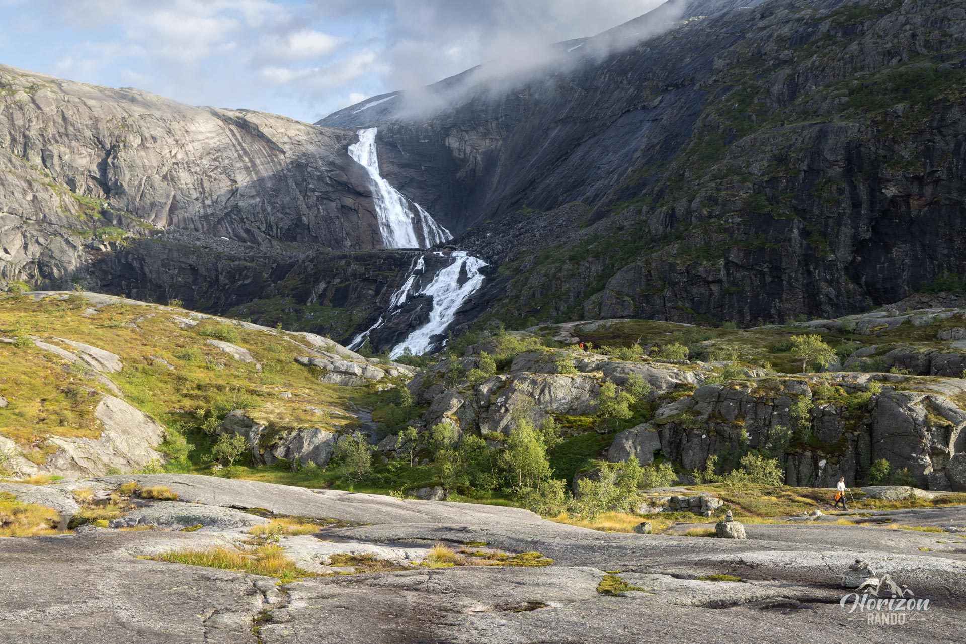
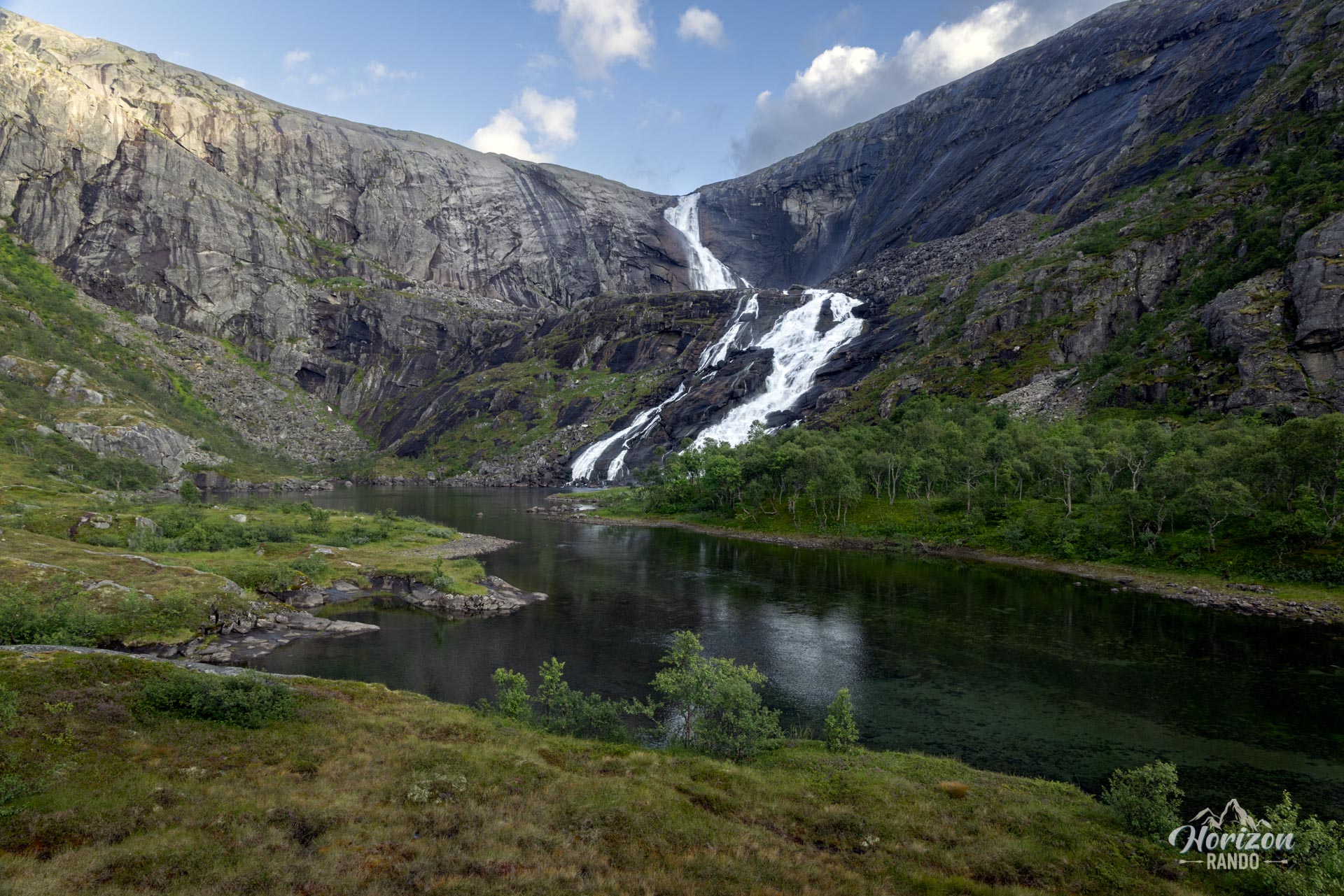
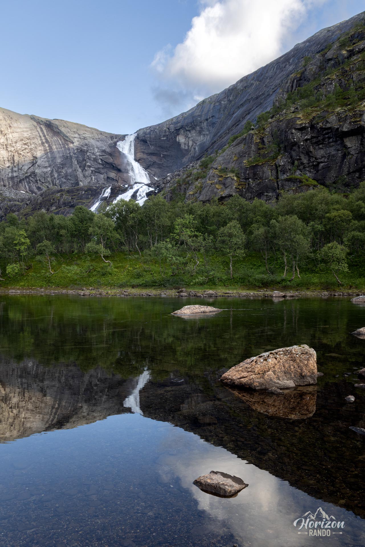
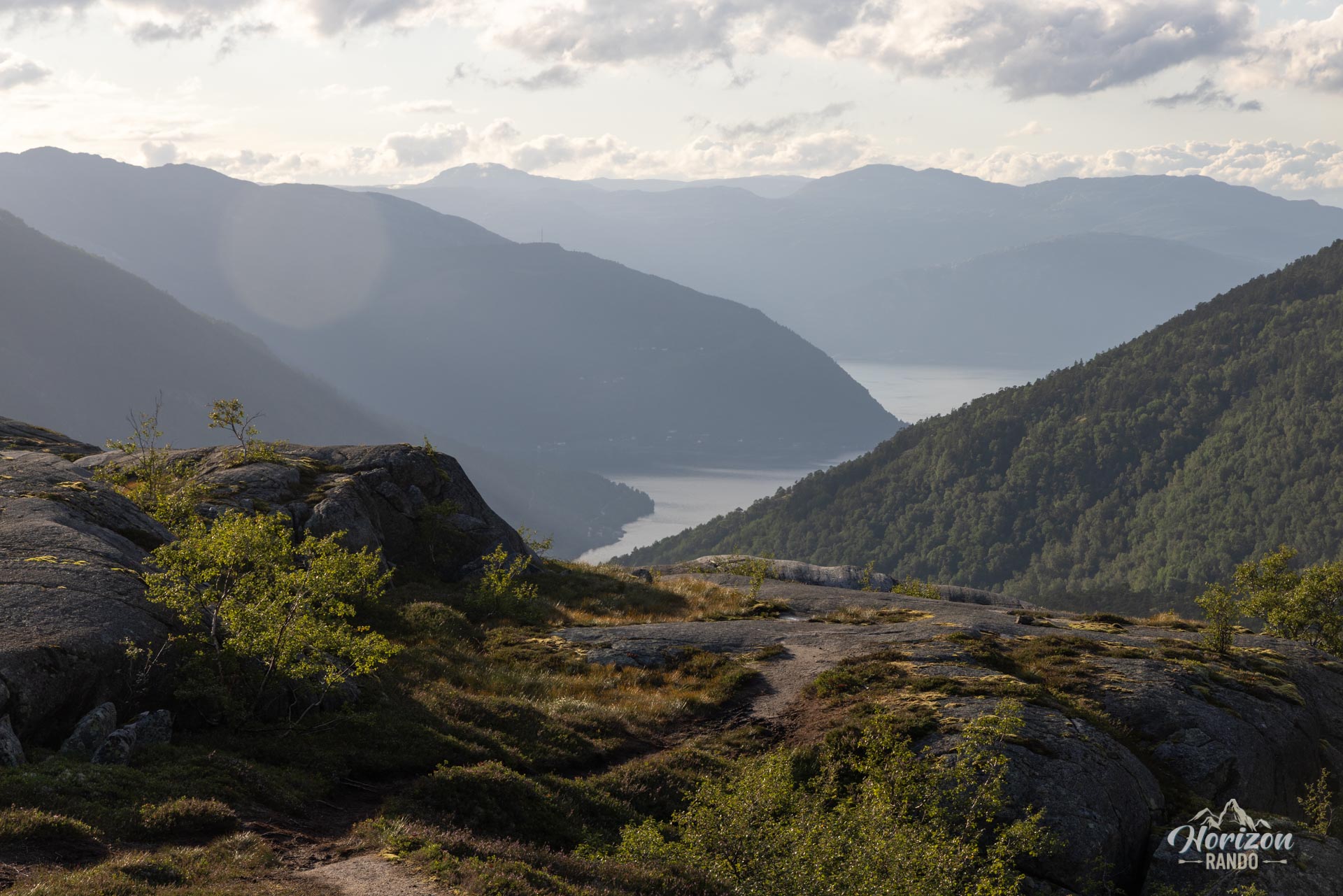
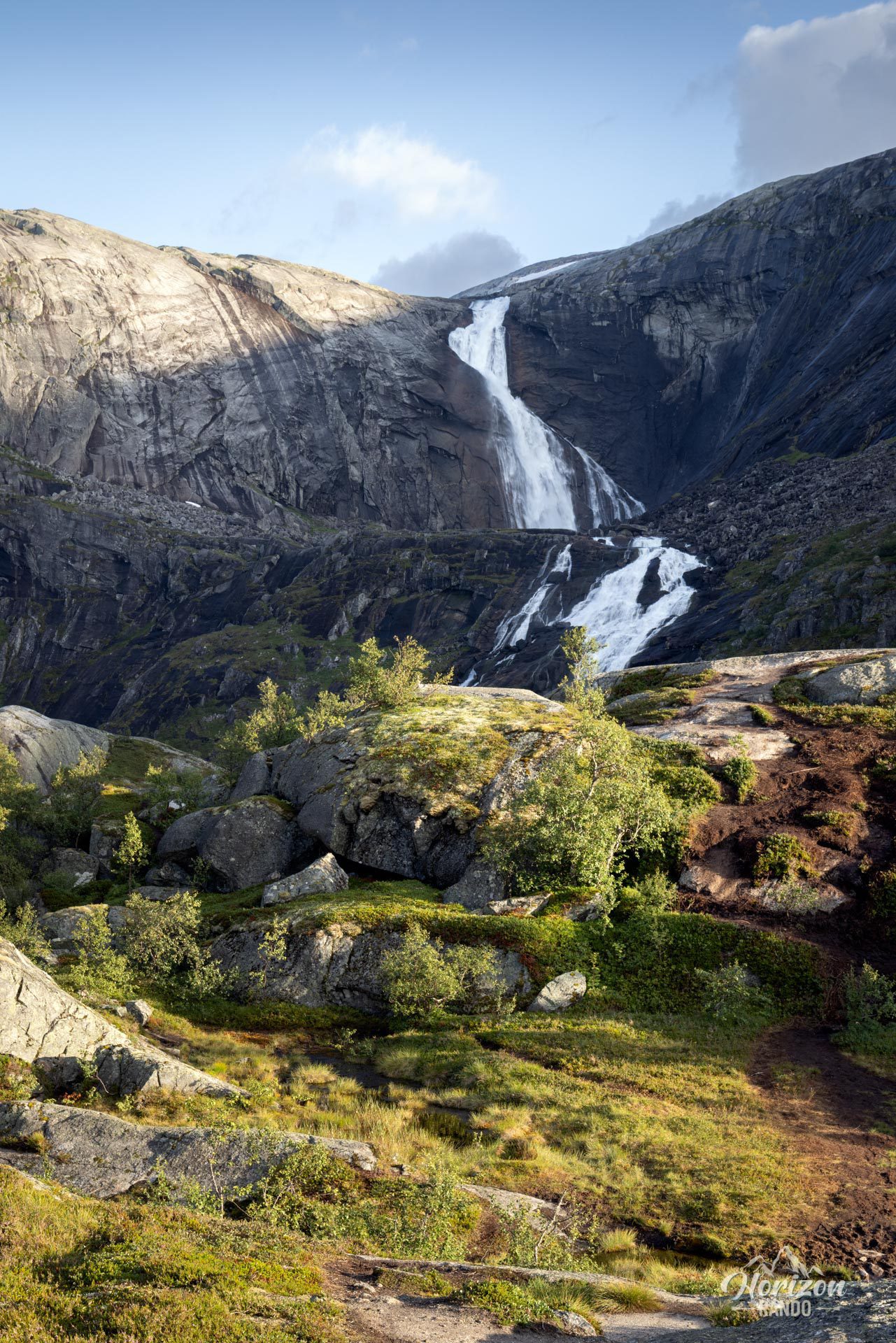
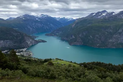
Explore the Husedalen valley near Kinsarvik in Norway. This area is famous for its spectacular hike dotted with four majestic waterfalls: Tveitafossen, Nyastølsfossen, Nykkjesøyfossen, and Søtefossen. This iconic route takes you through the heart of the Hardangervidda National Park alongside the rushing waters of the Kinso River. Highly prized by nature lovers and frequently cited as one of Norway's most beautiful hikes, this adventure promises an unforgettable experience in lush, wild surroundings.
Map and elevation profile of the hike
Husedalen Waterfall Hike
Difficulties of the hike
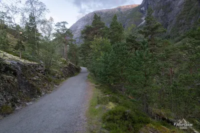
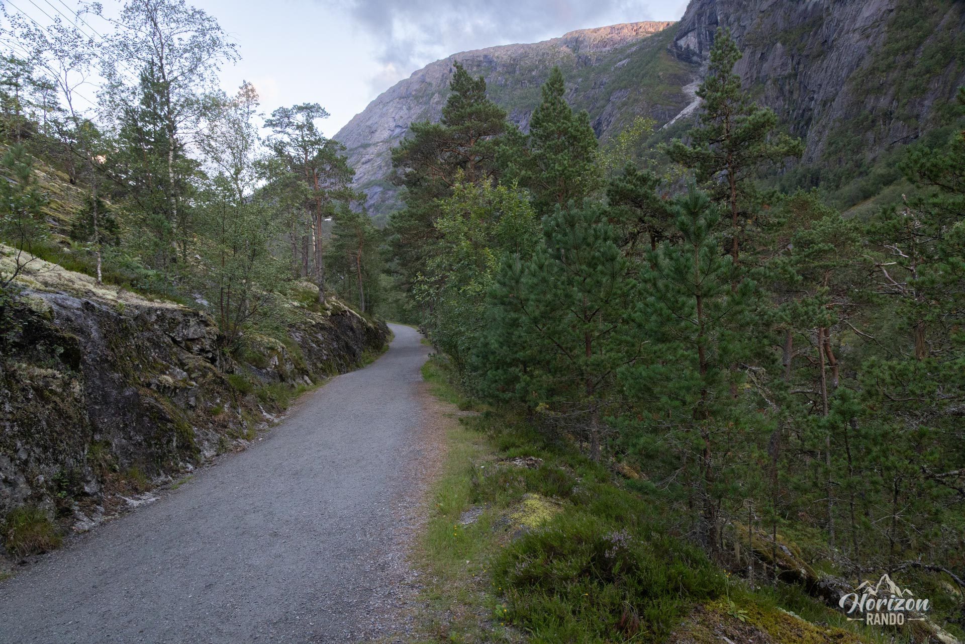
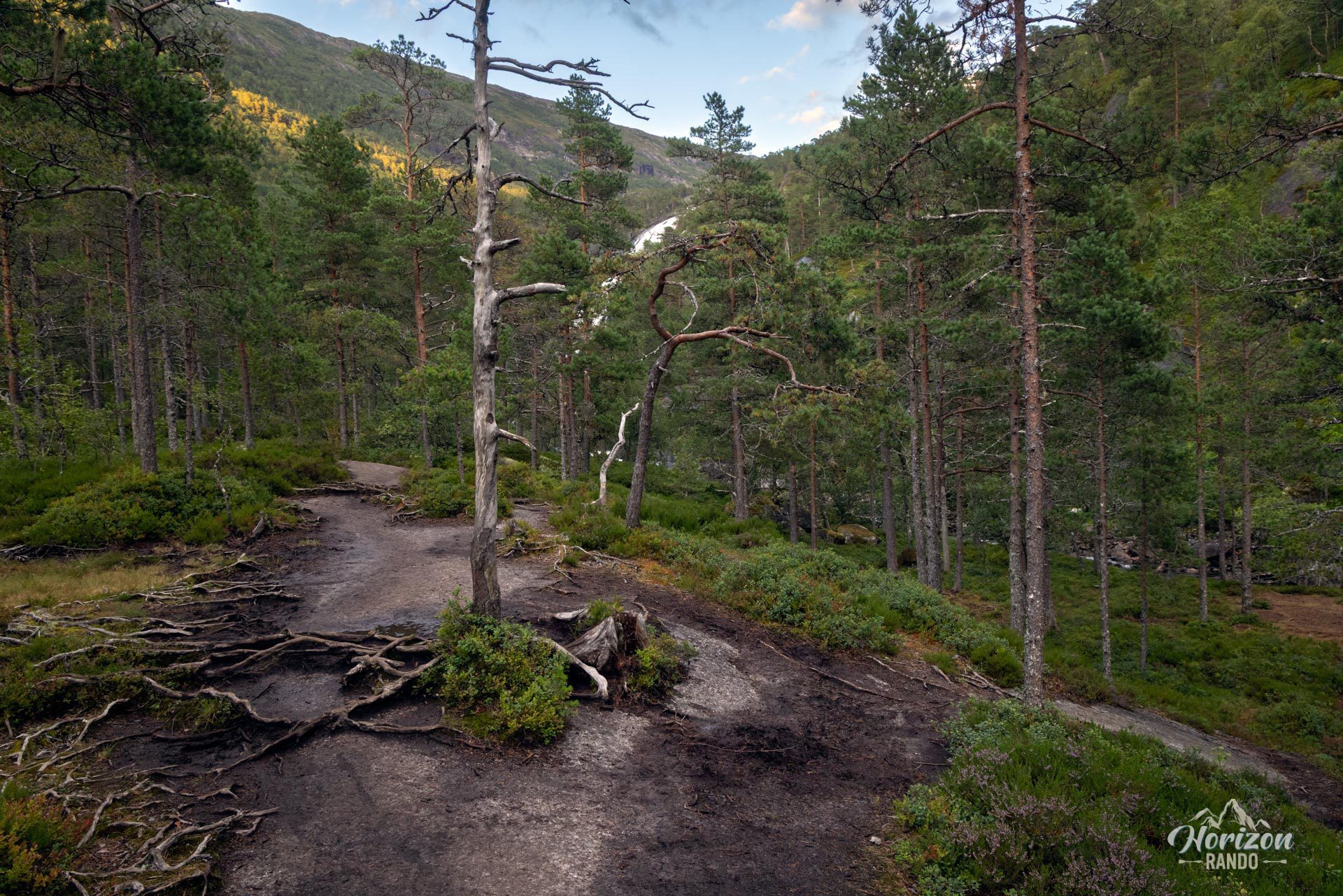
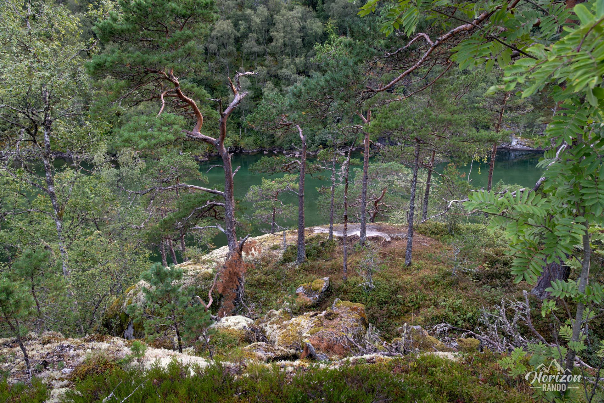
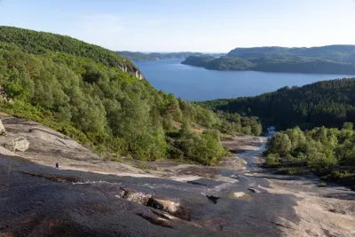
The route starts off gently on a wide gravel track leading to the first waterfall, Tveitafossen. This section is easy and accessible, attracting many visitors. Beyond that, the route continues on a more technical forest trail, with steep sections, rocky passages, tree roots, and terrain that can become very slippery in wet weather, especially on smooth rock slabs.
The markings are sparse, supplemented by a few directional signs. Navigation remains easy until the second waterfall (Nyastølsfossen), but it is advisable to download the GPX track for the rest of the route. Note that visitor numbers decrease significantly after each waterfall; many stop at the first one, and few hikers continue to the fourth.
What you'll love
- Discover four spectacular waterfalls, each with its own unique character: Tveitafossen, Nyastølfossen, Nykkjesøyfossen, and Søtefossen.
- The breathtaking landscapes of the lush and wild Husedalen valley, with the Kinso River running through it.
- The flexibility of the itinerary: you can easily adapt the hike to your fitness level and available time, choosing to turn back after one of the waterfalls for a shorter, less demanding outing.
- The gradual immersion into increasingly unspoilt and wild nature as you ascend.
Practical information
Parking
Free parking is available at the trailhead, but capacity is limited due to the popularity of this hike. In high season, it is advisable to arrive early to secure a spot.
Best time to go
From May to October, on average. Outside this window, snow can make the trail particularly slippery and muddy. See the Norway FAQ for more details.
Photos
See all 16 photos →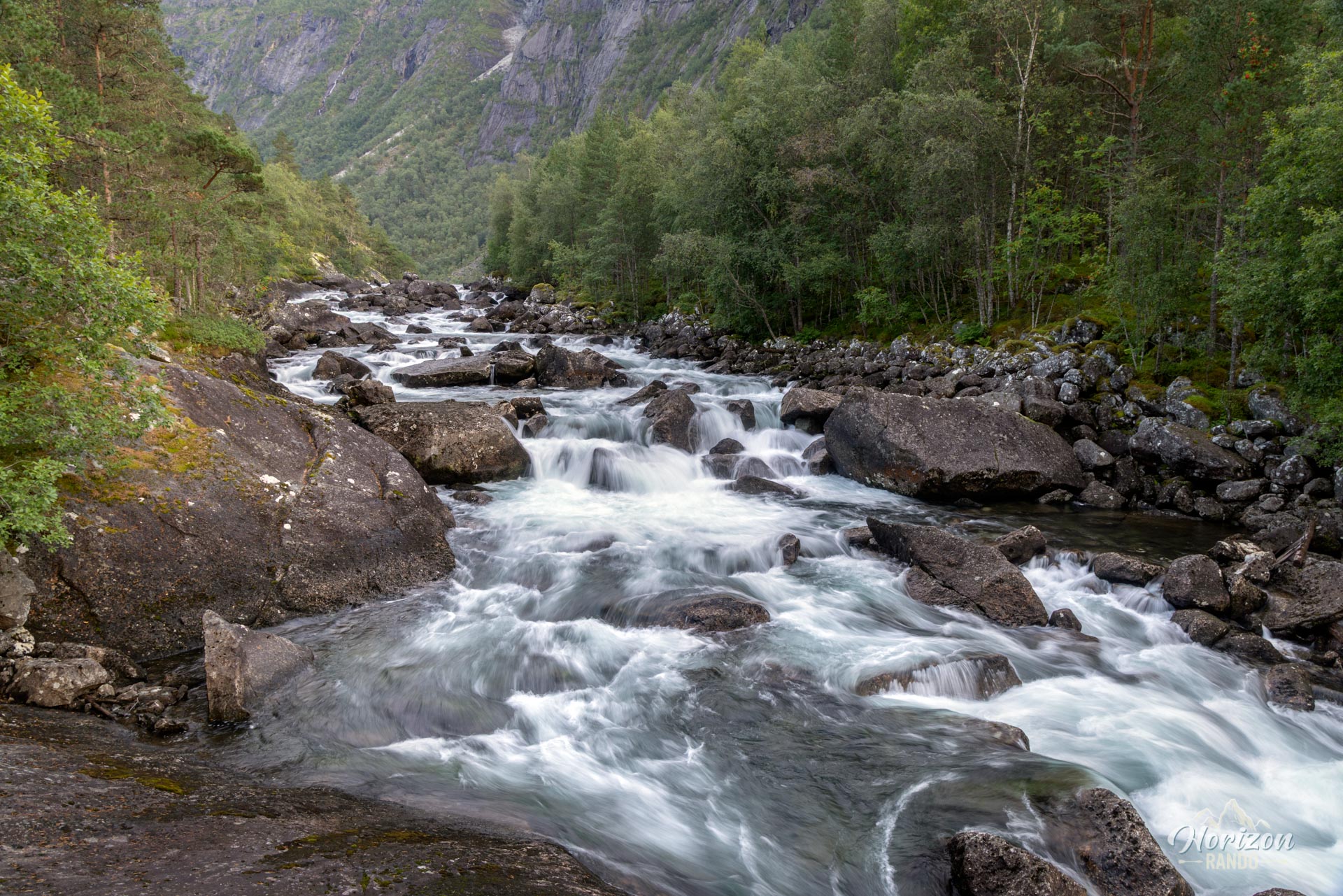
More hikes to do in Norway
Nearby hikes




























Printed from www.horizonrando.fr/en/norway/husedalen-waterfall-trail/