





Kjerag Hike
Key facts about the hike
- Difficulty
- Moderate Hikes are rated from very easy to very hard: my difficulty scale
- Duration
- 4h30 Estimated time, short breaks included (photos, water, snacks), picnic not included: how it is calculated
- Distance
- 10km
- out and back
- Elevation gain
- 730m
- Type of route
- Out and back
- Maximum altitude
- 1,020 m
- Vertiginous Five levels, depending on how exposed the route is: the levels in detail
- Slightly
- Marked
- Yes
- Popularity
- High
- County
- Rogaland
- Start point
- 59.04581, 6.65135
- Activity
- Hiking
Hike overview
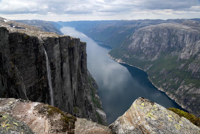
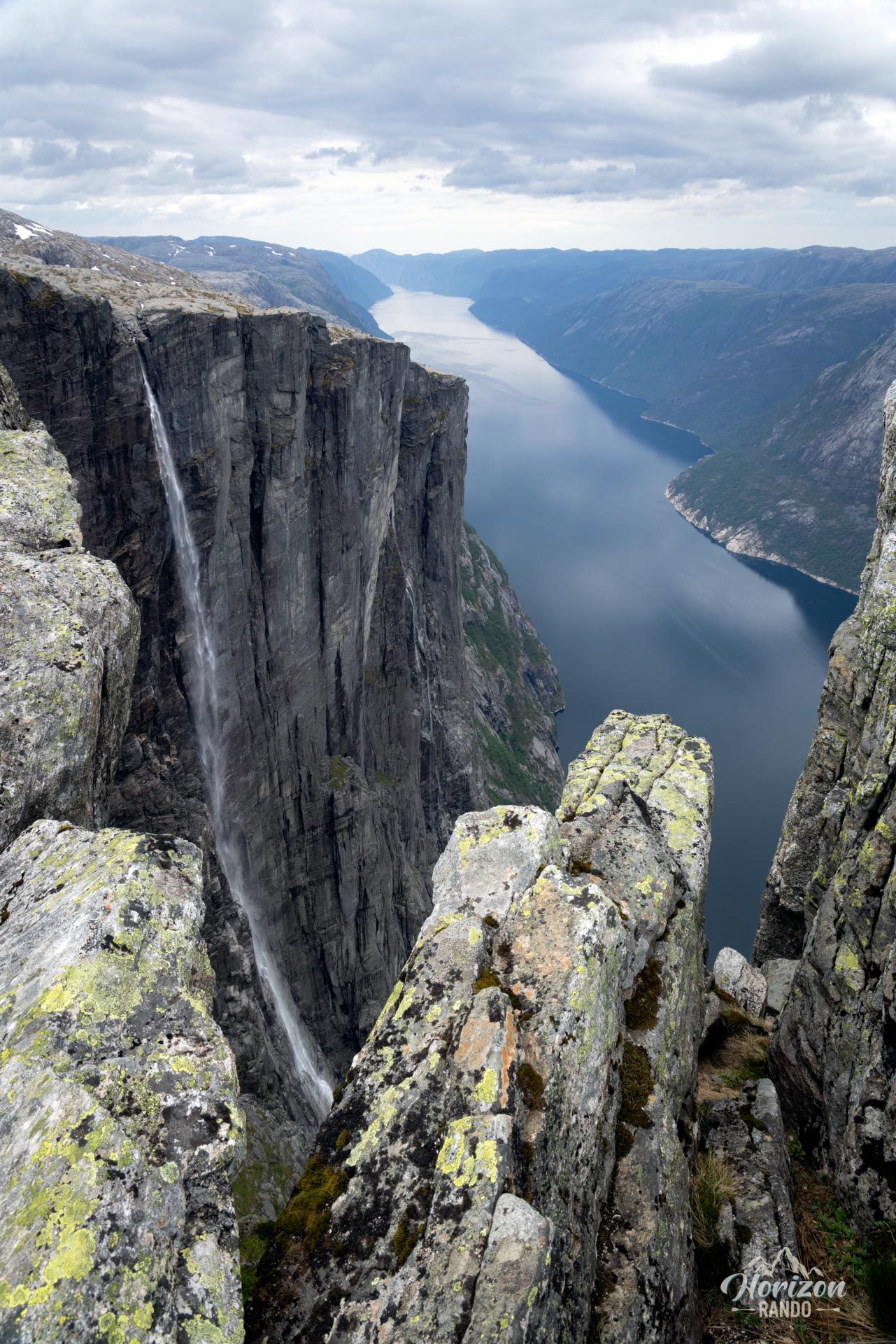
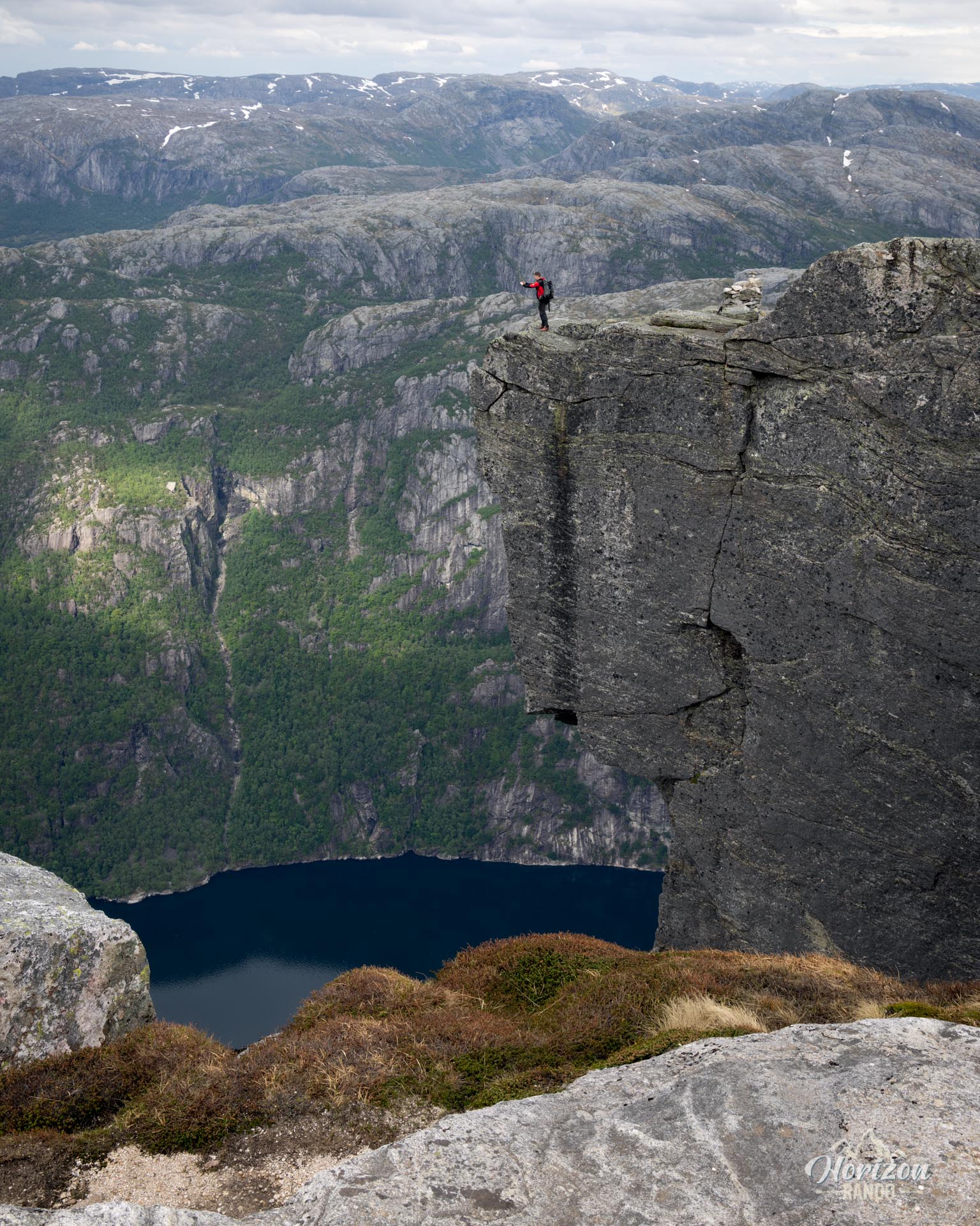
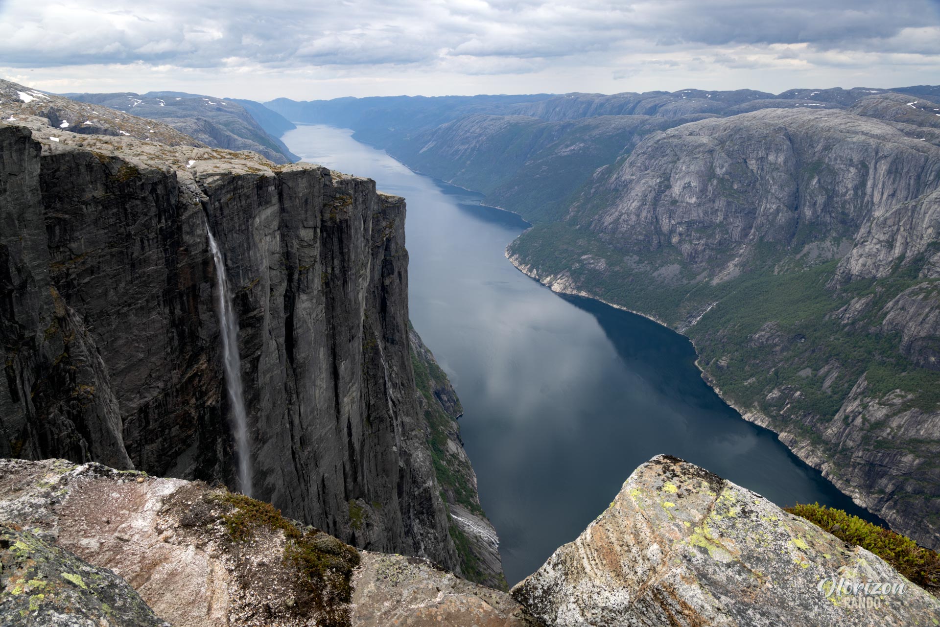
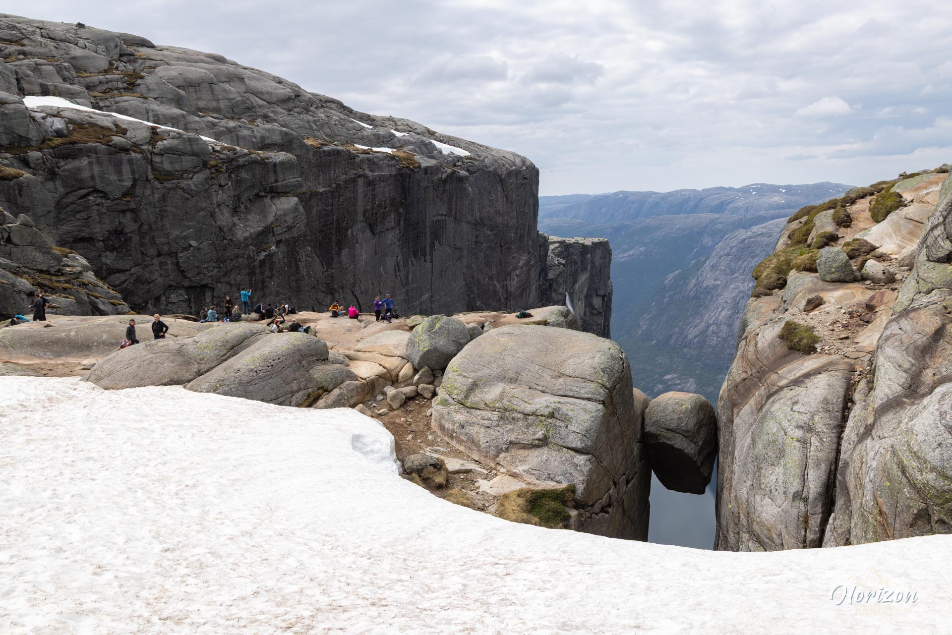
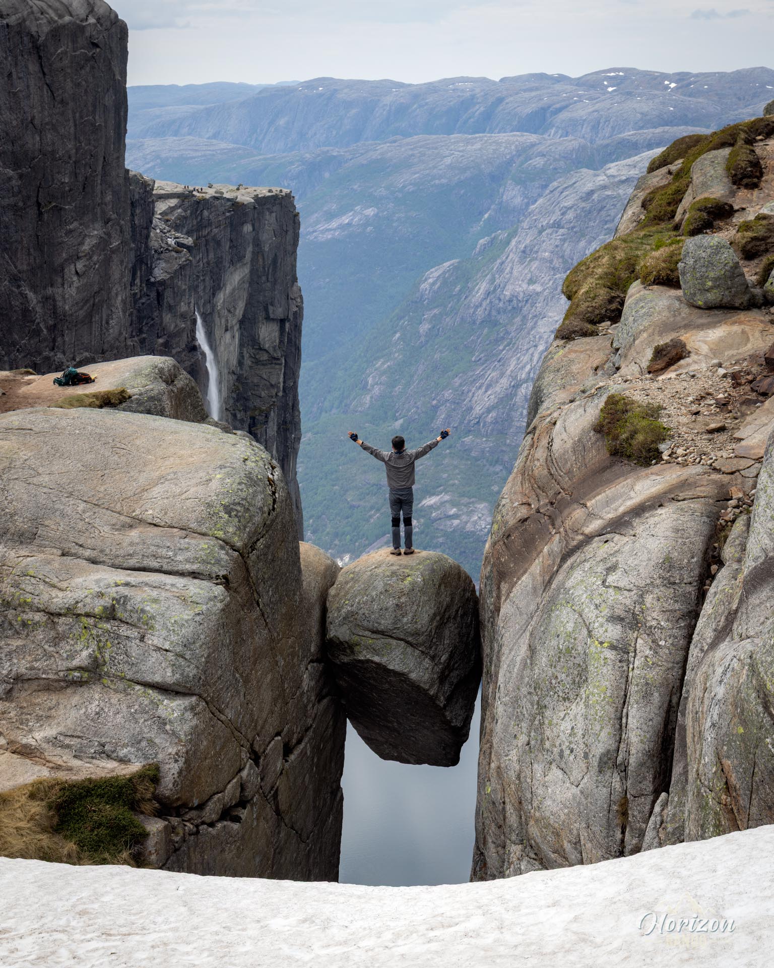
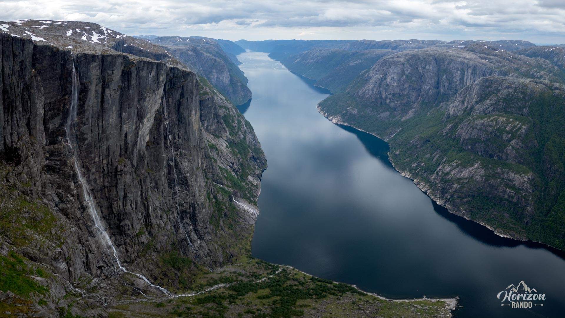
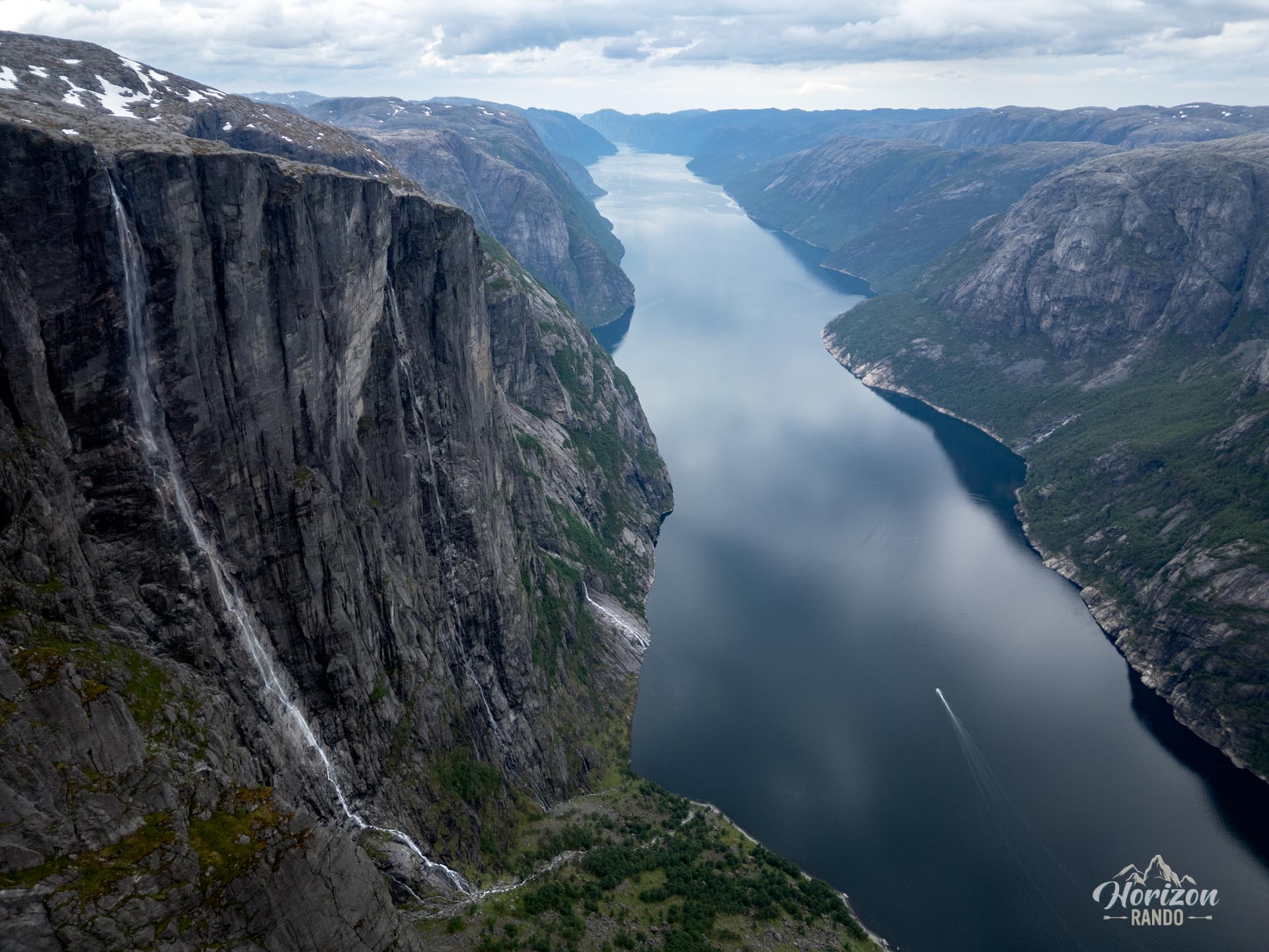
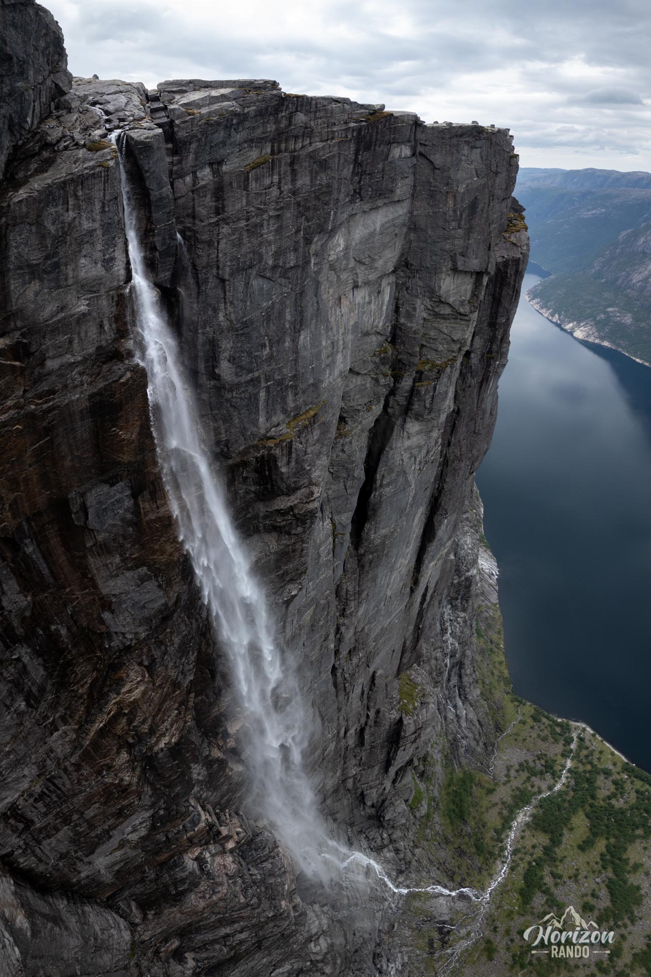
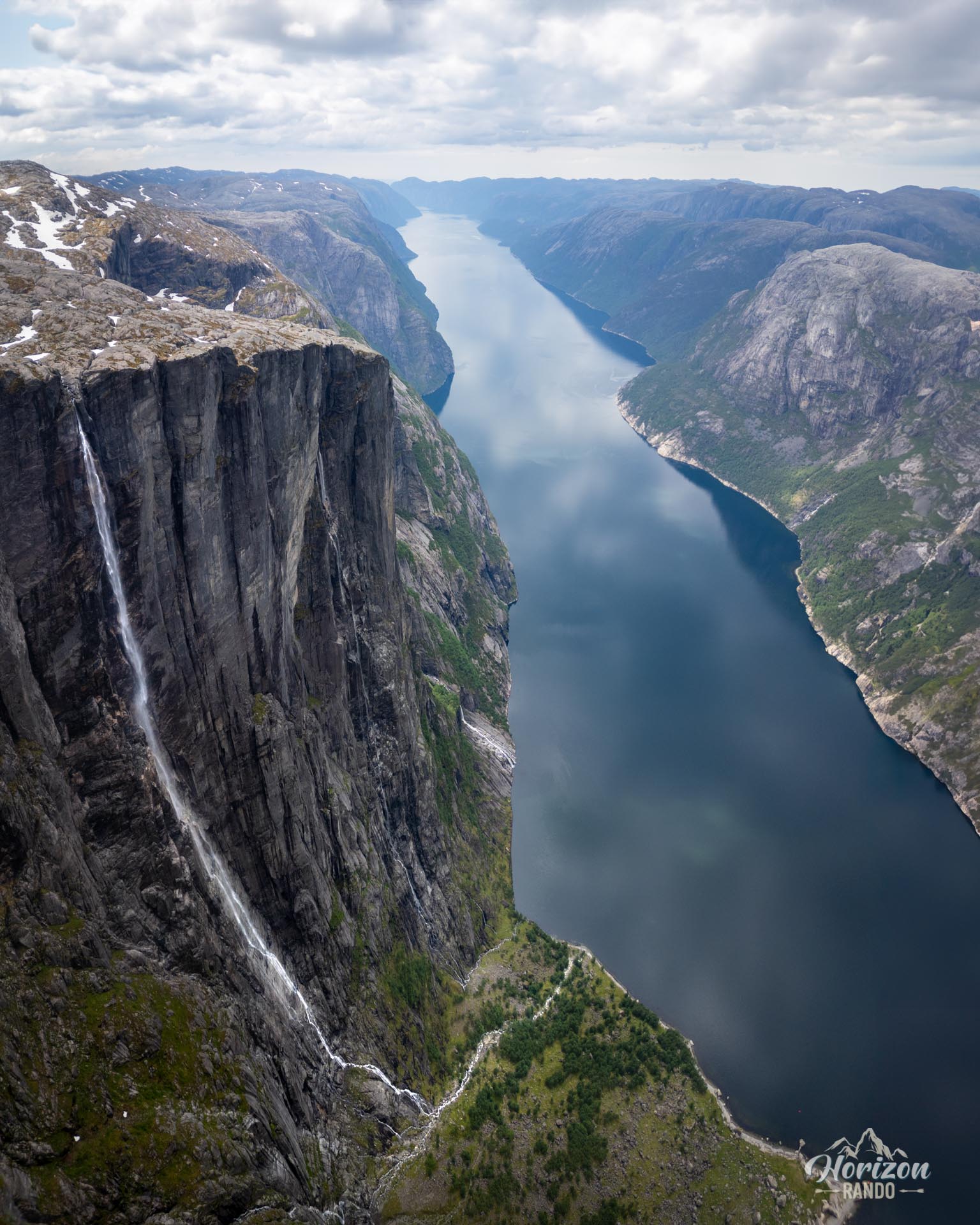
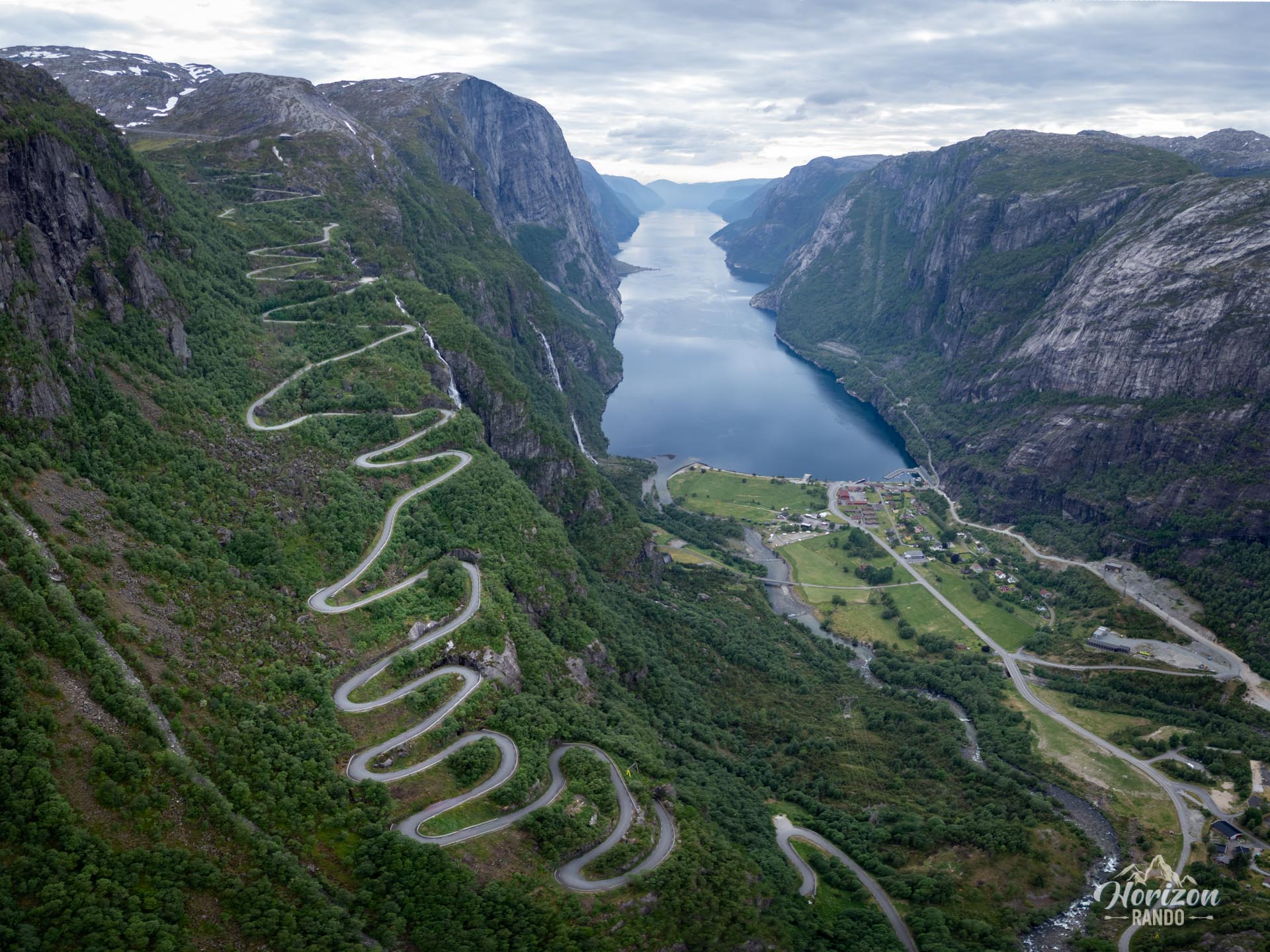
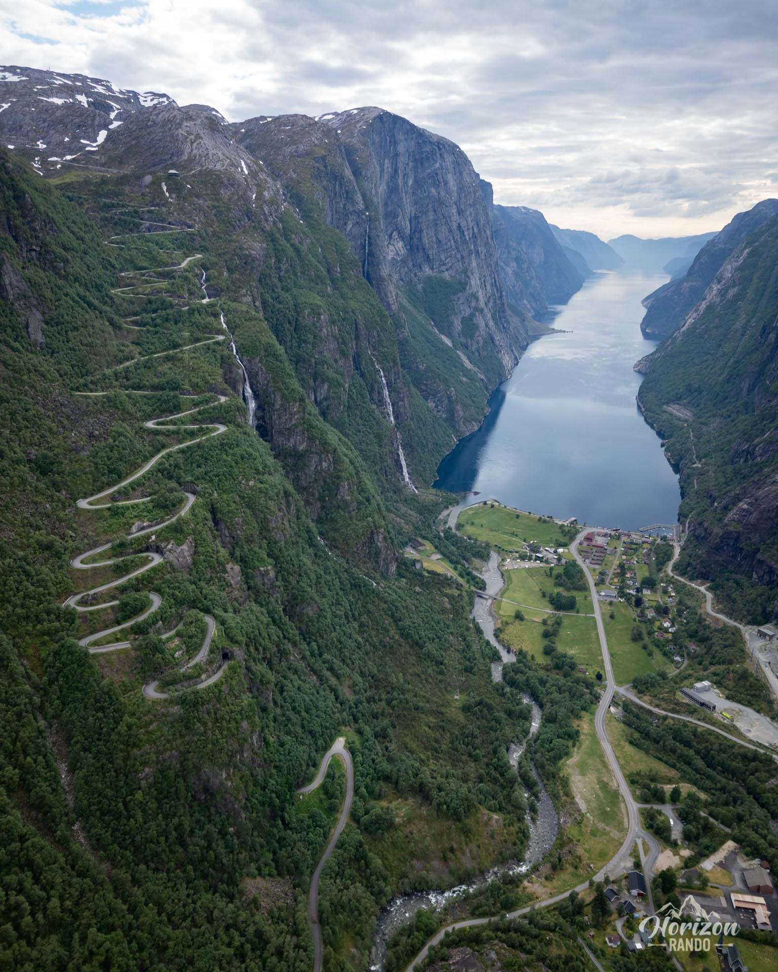
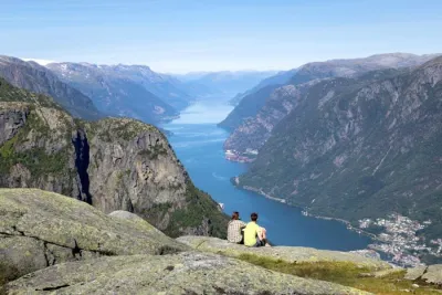
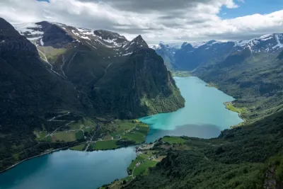
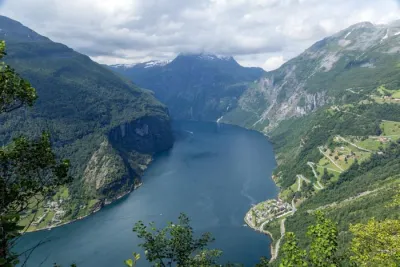
The Kjerag hike leads to the legendary Kjeragbolten, a rock wedged between two cliffs, suspended 984 meters above the Lysefjord, one of Norway's most beautiful fjords. This site is a true icon for thrill-seekers and photography enthusiasts. The route plunges hikers into the heart of raw landscapes, where every effort is rewarded with impressive panoramic views of the steep walls and turquoise waters of the fjord. However, the popularity of Kjeragbolten attracts many hikers, especially during the high season, which can detract from the feeling of solitude and wilderness.
Map and elevation profile of the hike
Kjerag Hike
Description and difficulties of the hike
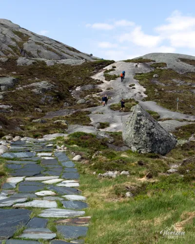
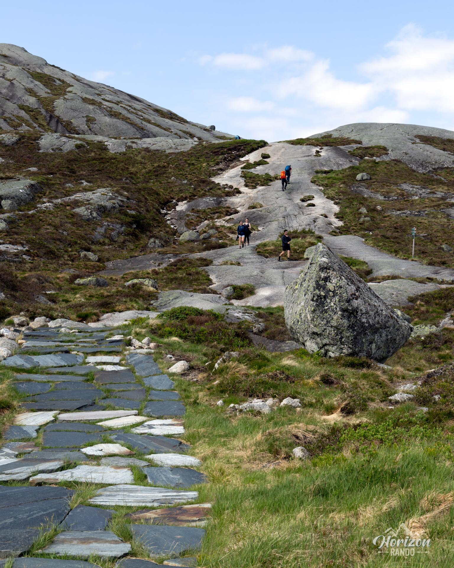
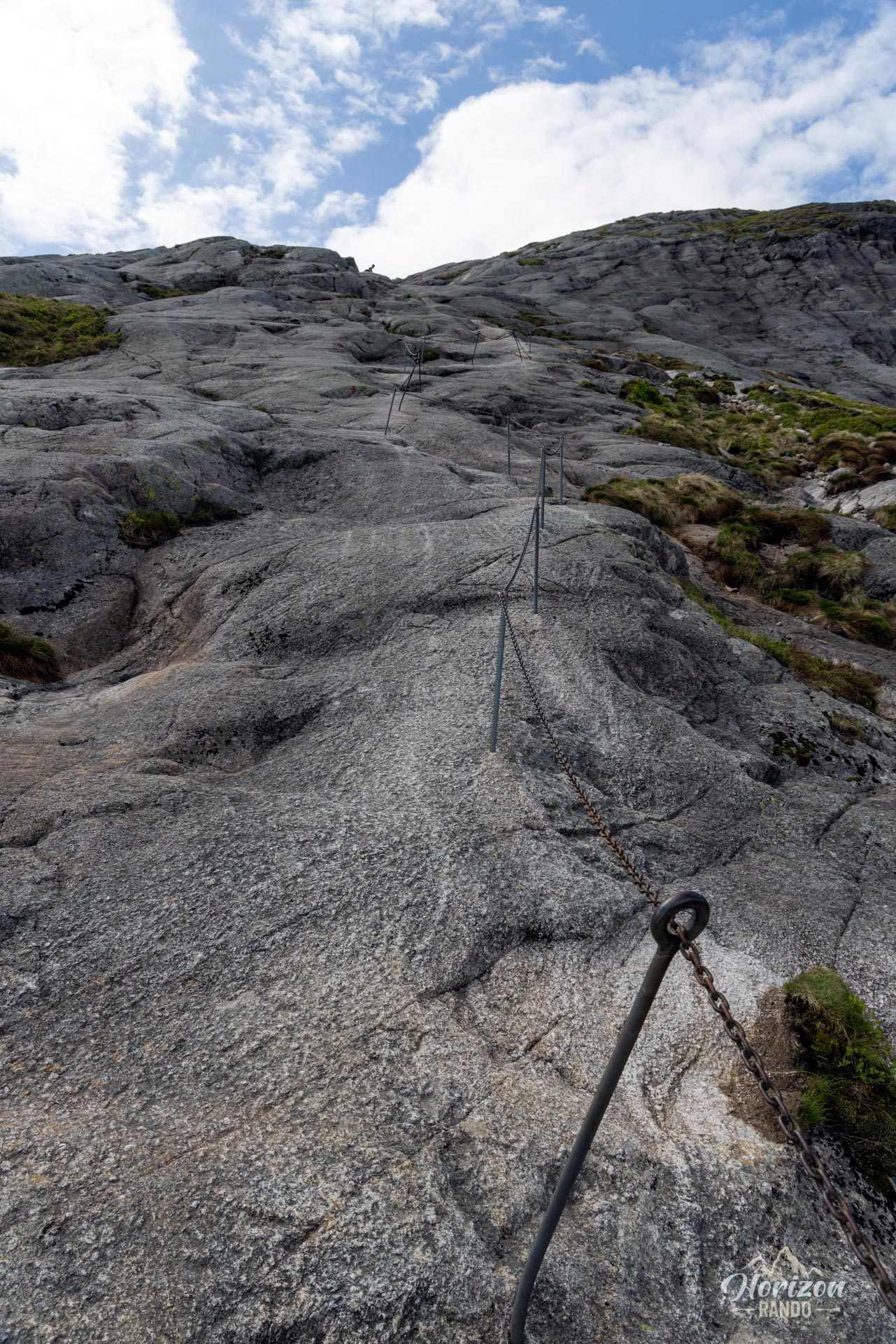
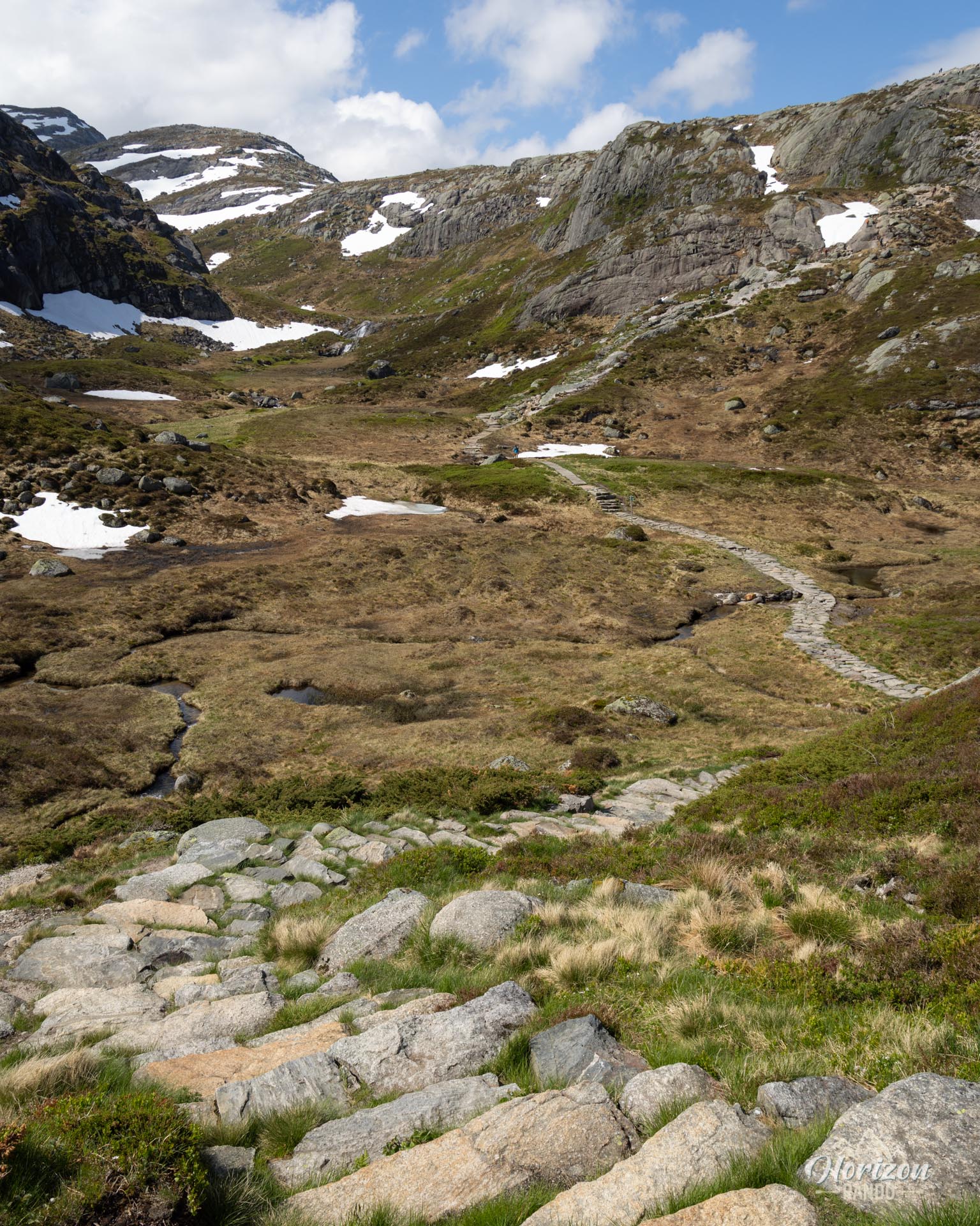
The climb to Kjeragbolten is physically demanding: it's 10 kilometers round trip with an elevation gain of over 700 meters. Most of the trail (80-90 %) is on smooth rock slabs. These slabs become slippery in wet weather, which makes progress difficult and dangerous.
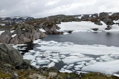
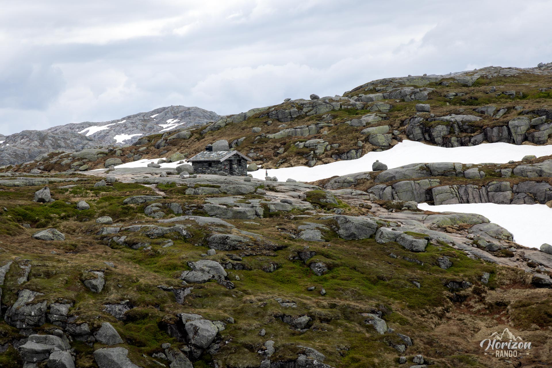
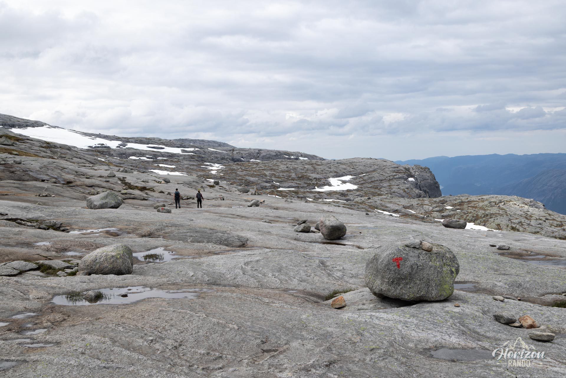
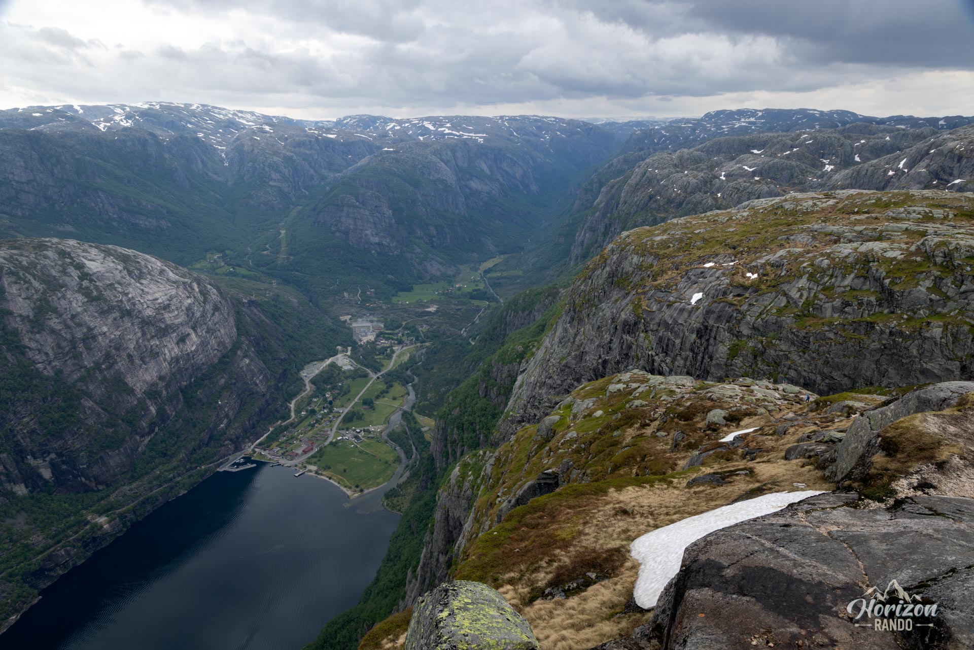
The route is dotted with sections equipped with metal chains that are useful for securing the climb in the steepest and slipperiest parts. After a sustained climb, you reach a lunar-like plateau, culminating at an altitude of around 1,000 meters. You will cross this plateau until you reach the site of Kjeragbolten.
Note that views of the fjord are limited during the hike, as the route is slightly set back from the cliffs. The fjord's full beauty is revealed upon arrival. The trail is well marked with red T's painted on rocks and cairns in open areas, which allow for easy orientation when visibility is good.
What you'll love
- The breathtaking panorama that unfolds upon arrival, offering an unforgettable bird's-eye view of the Lysefjord and the surrounding peaks. Feel free to explore the surrounding plateau to discover other spectacular viewpoints.
- The unique experience of standing on Kjeragbolten: an unforgettable photo opportunity for adventure lovers. However, it should only be attempted if you are completely comfortable with heights and exercise extreme caution.
What might be less appealing
- Granite slabs become extremely slippery in wet weather, which makes walking on them difficult and potentially dangerous.
- Large crowds during the tourist season sometimes cause long lines as people wait to take pictures of Kjeragbolten.
Practical information
Parking
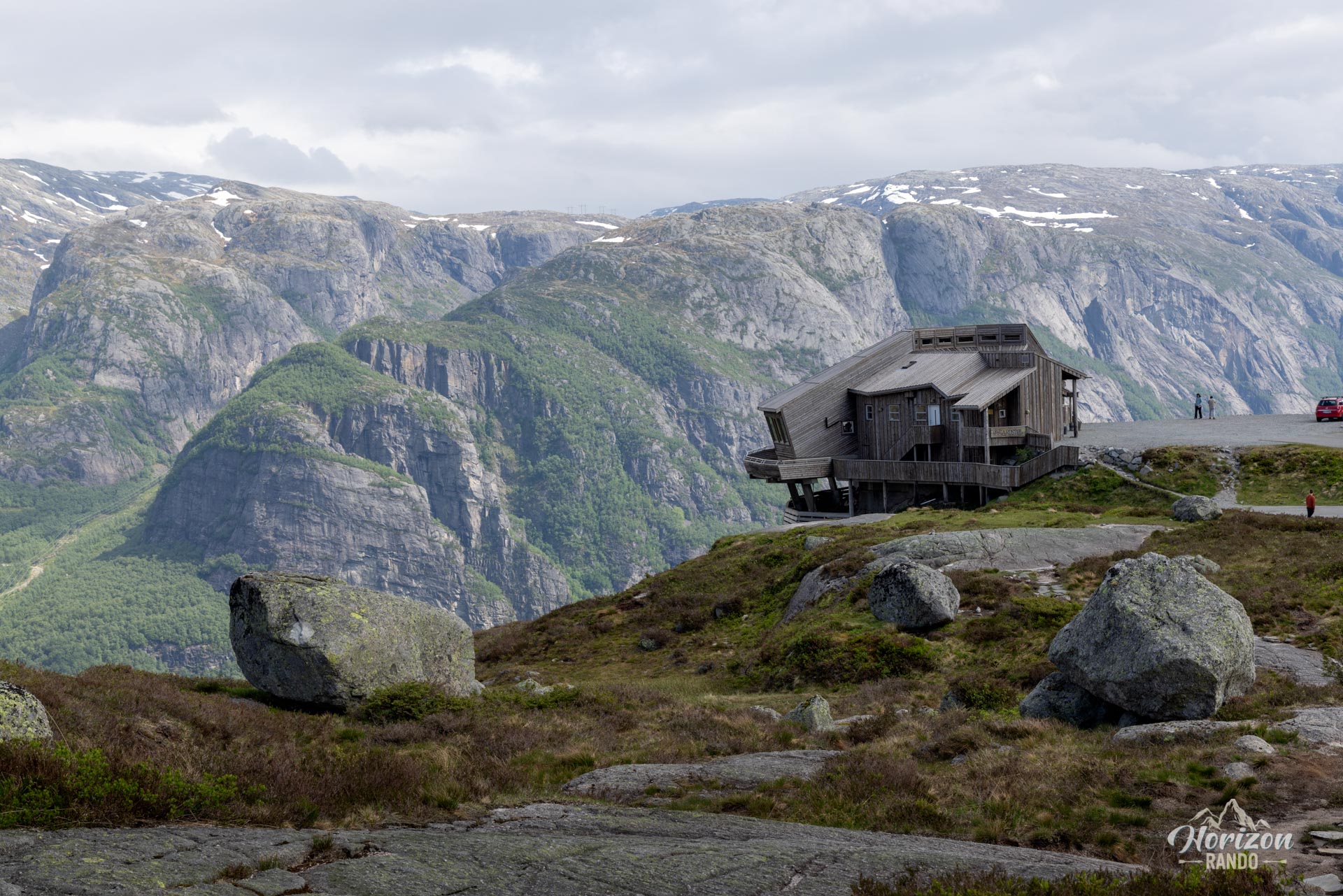
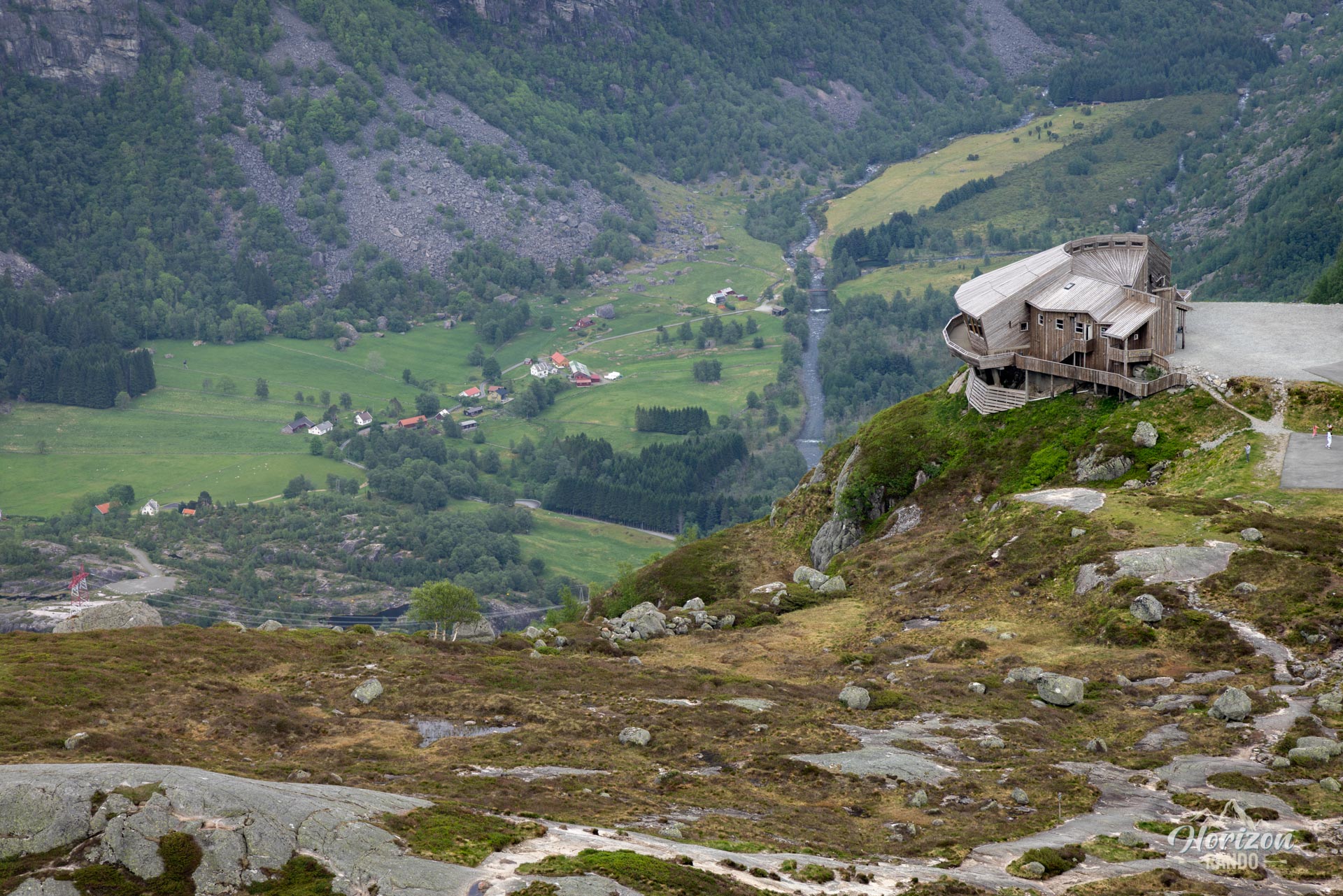
There is a large paid parking lot at the Øygardstøl trailhead (indicative price in 2025: NOK 300).
Best time to go
From mid-June to September, on average. See the Norway FAQ for more details. The hike is only accessible from May to October, as the access road is closed in winter.
Safety advice
It is strongly advised not to climb Kjeragbolten in case of rain, strong winds, vertigo, or if the rock is wet. Caution is advised even in dry weather.
Photos
See all 21 photos →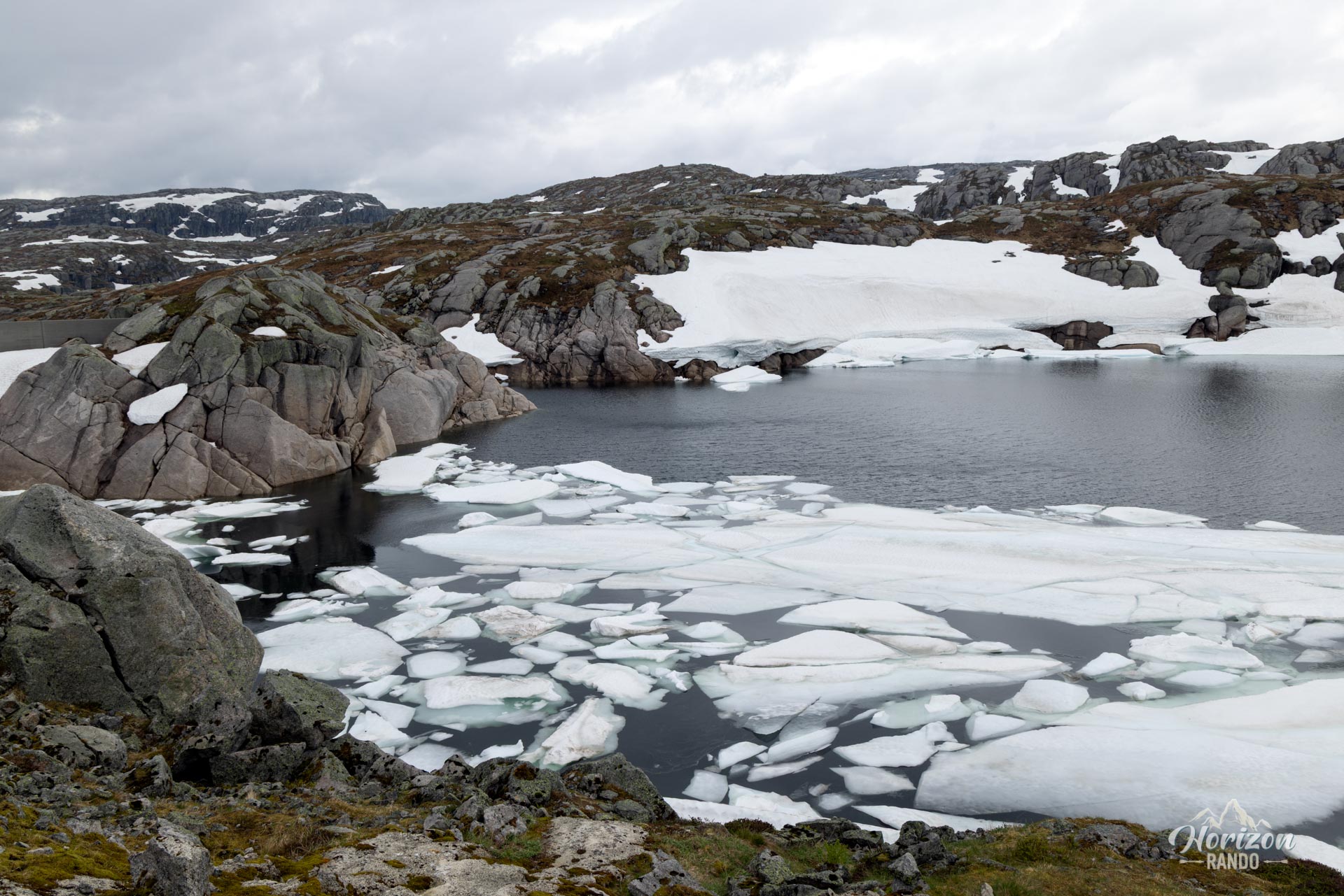
More hikes to do in Norway
Nearby hikes

























Printed from www.horizonrando.fr/en/norway/kjerag/