





Kjenndal Glacier Hike
Key facts about the hike
- Difficulty
- Very easy Hikes are rated from very easy to very hard: my difficulty scale
- Duration
- 0h30 Estimated time, short breaks included (photos, water, snacks), picnic not included: how it is calculated
- Distance
- 1.5km
- out and back
- Elevation gain
- 40m
- Type of route
- Out and back
- Maximum altitude
- 190 m
- Vertiginous Five levels, depending on how exposed the route is: the levels in detail
- No
- Marked
- No
- Popularity
- Moderate
- County
- Vestland
- Start point
- 61.74670, 7.03506
- Activity
- Hiking
Hike overview
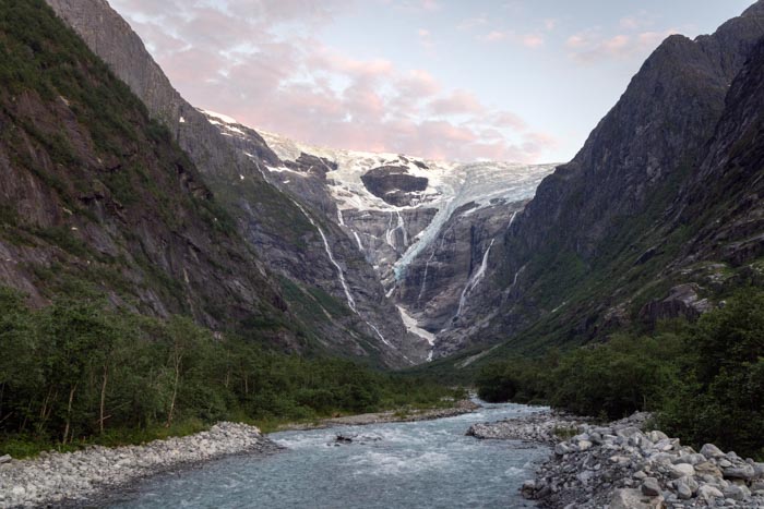
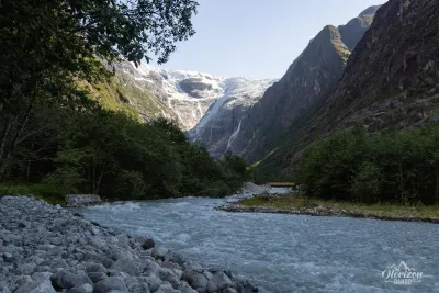
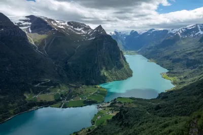
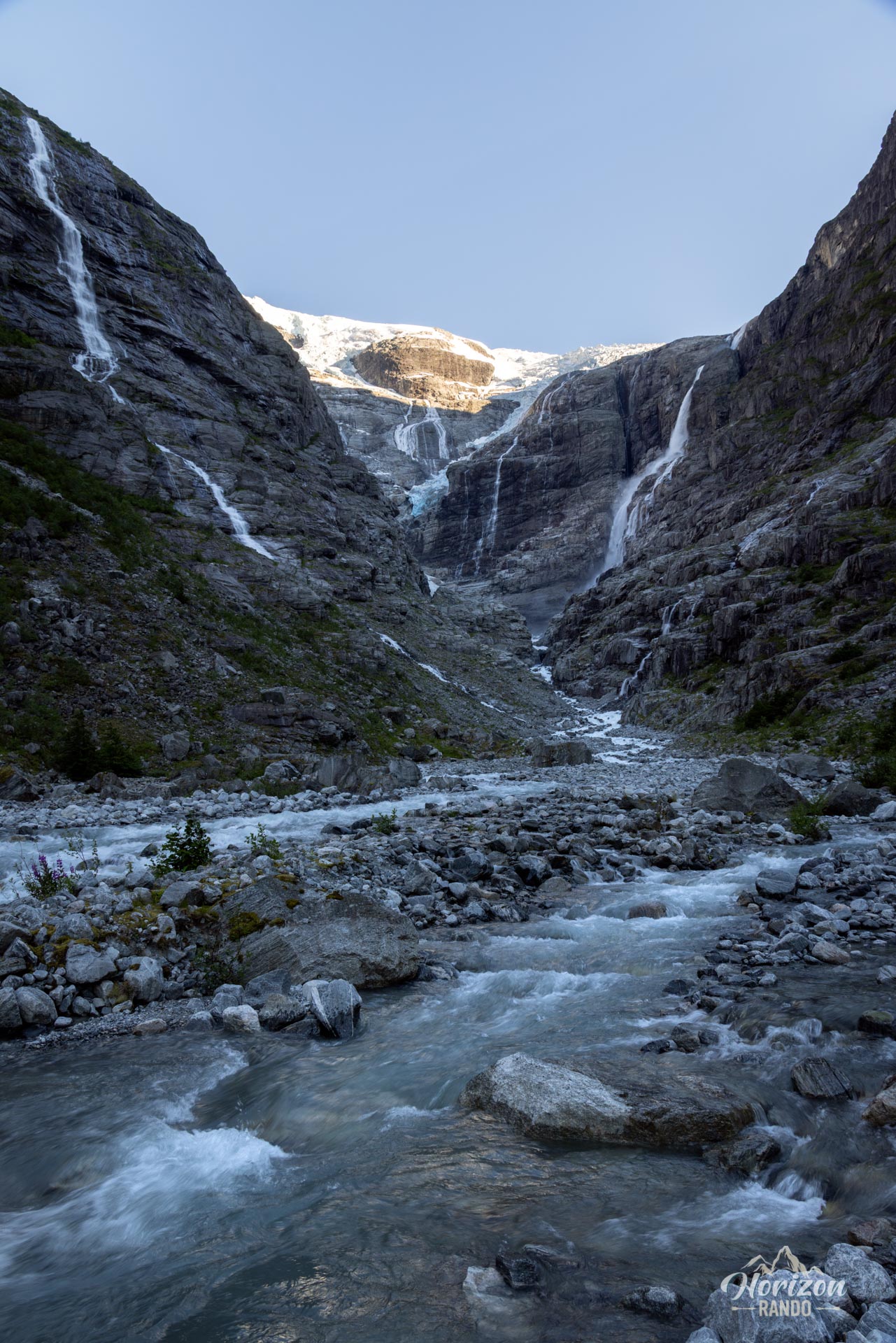
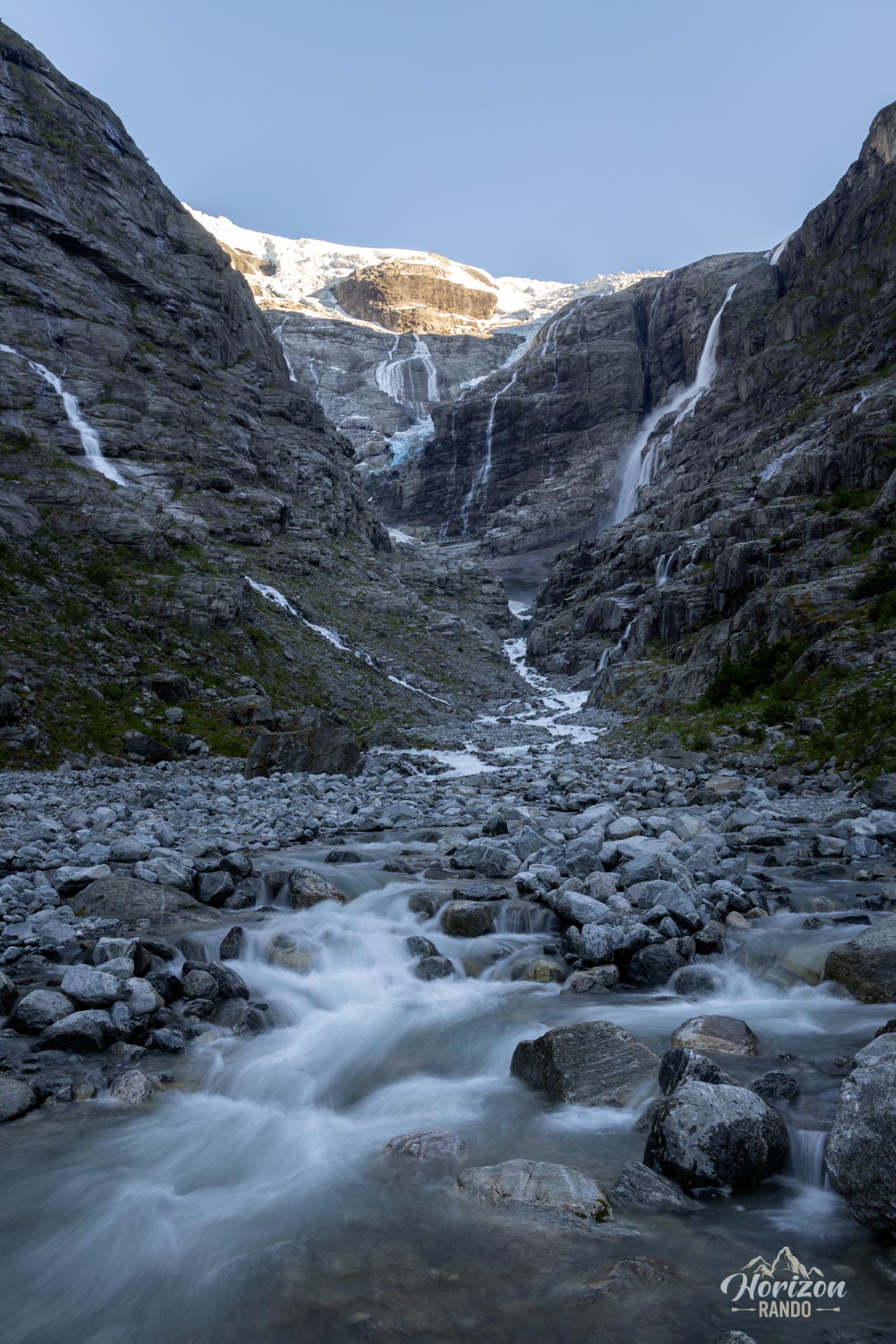
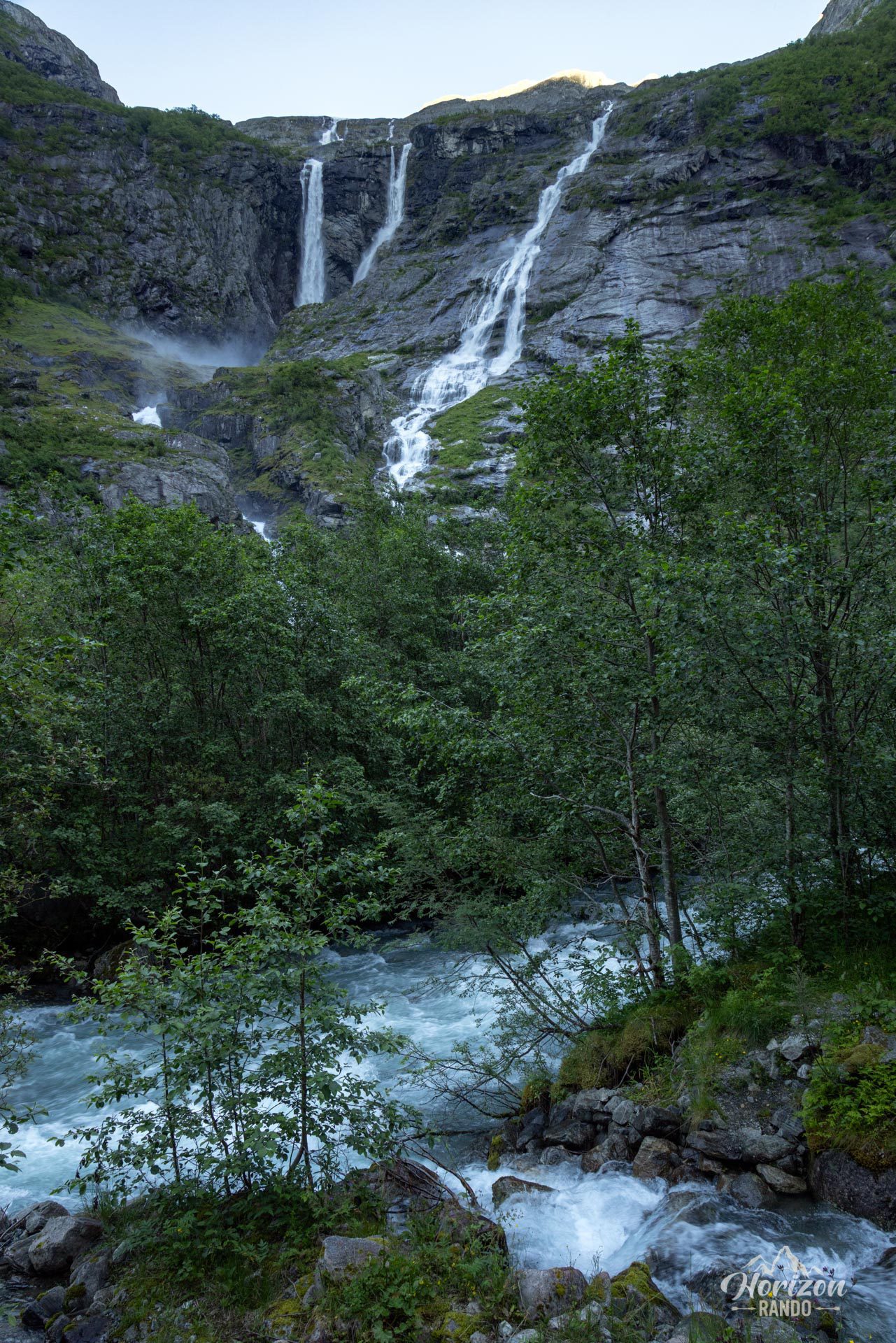
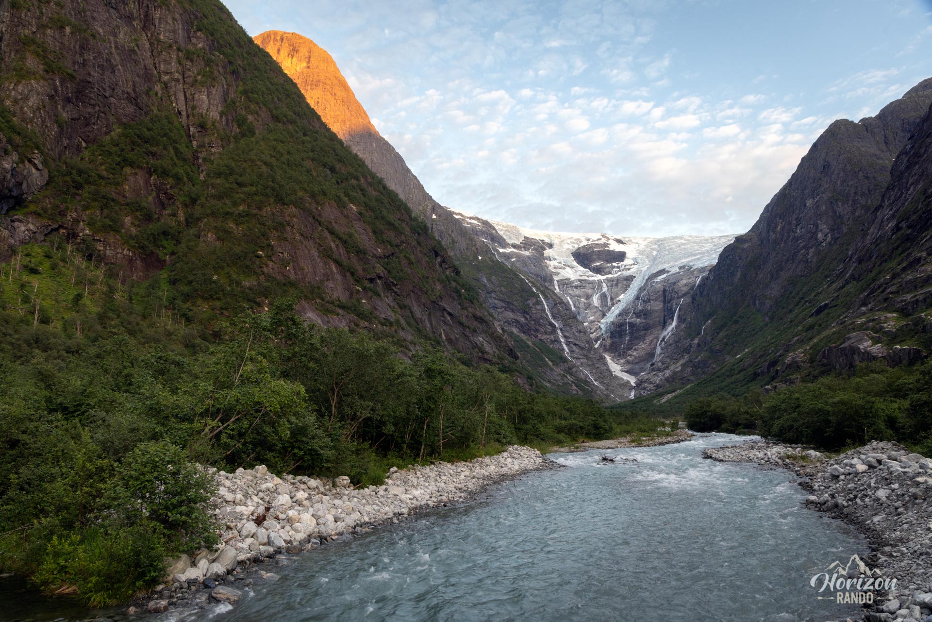
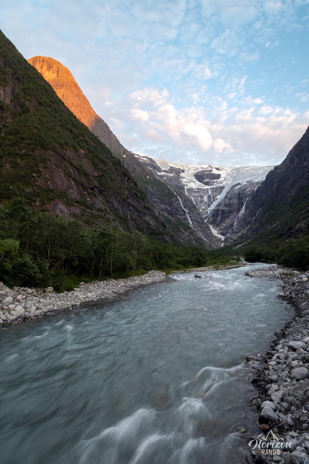
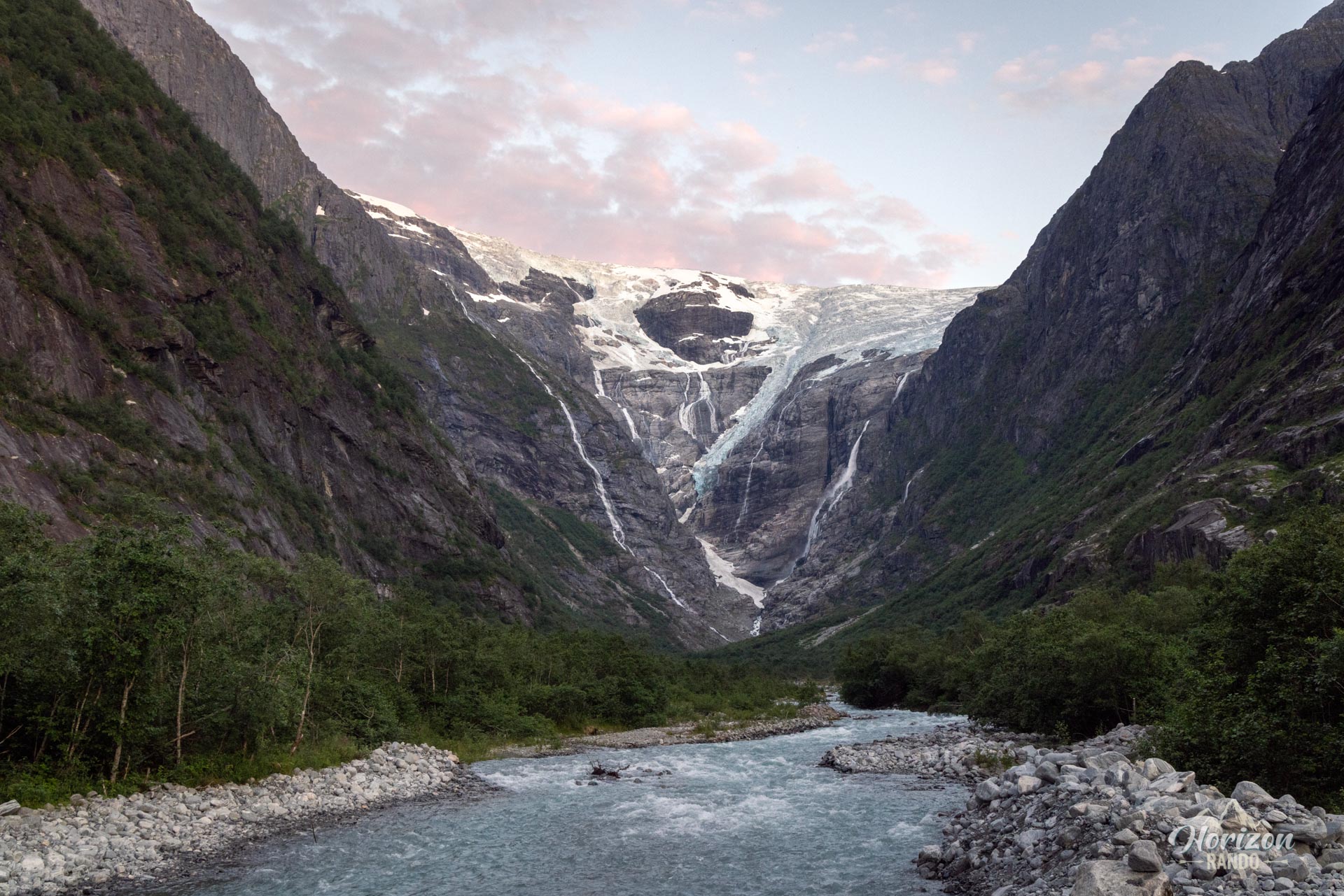
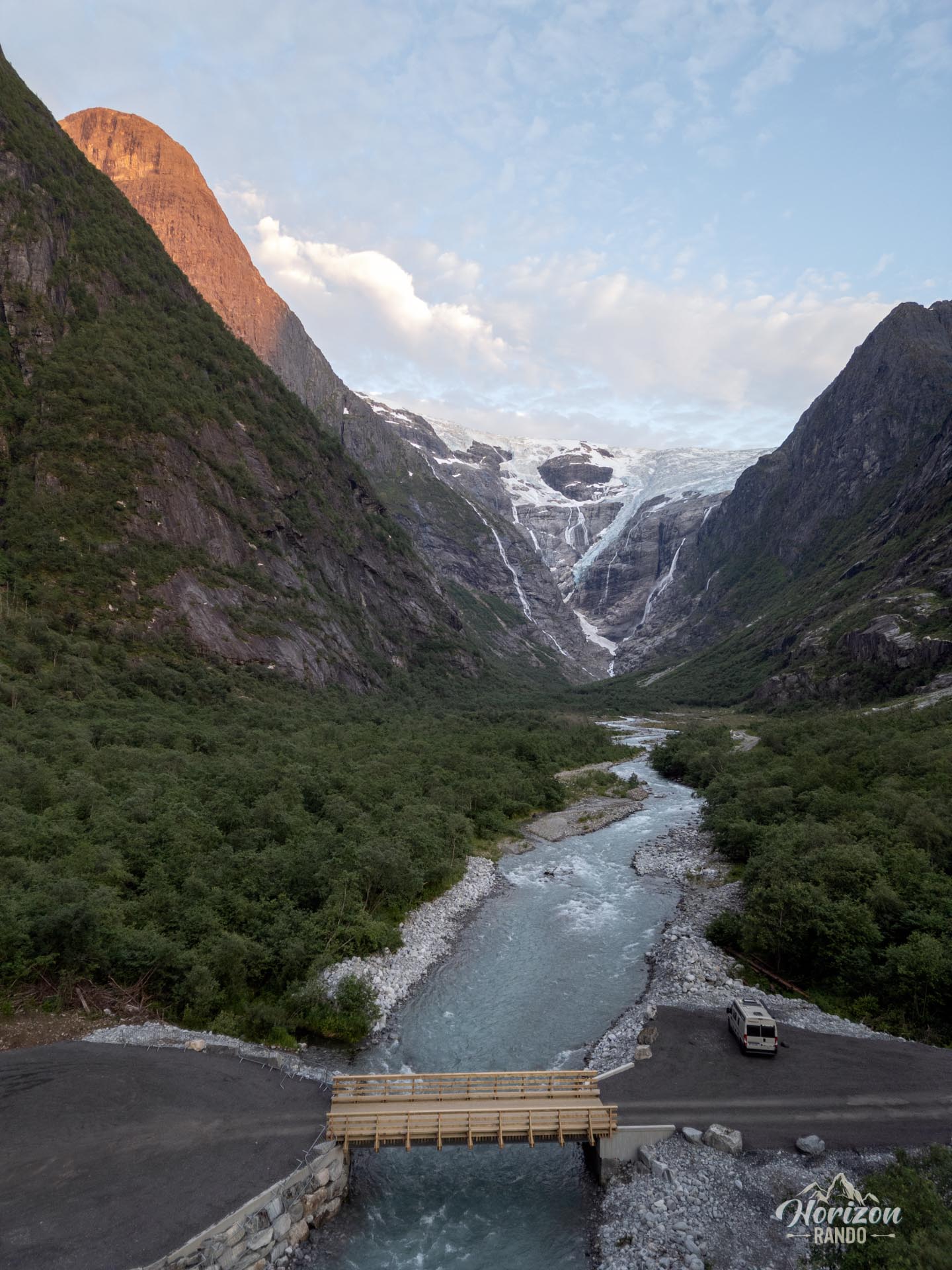
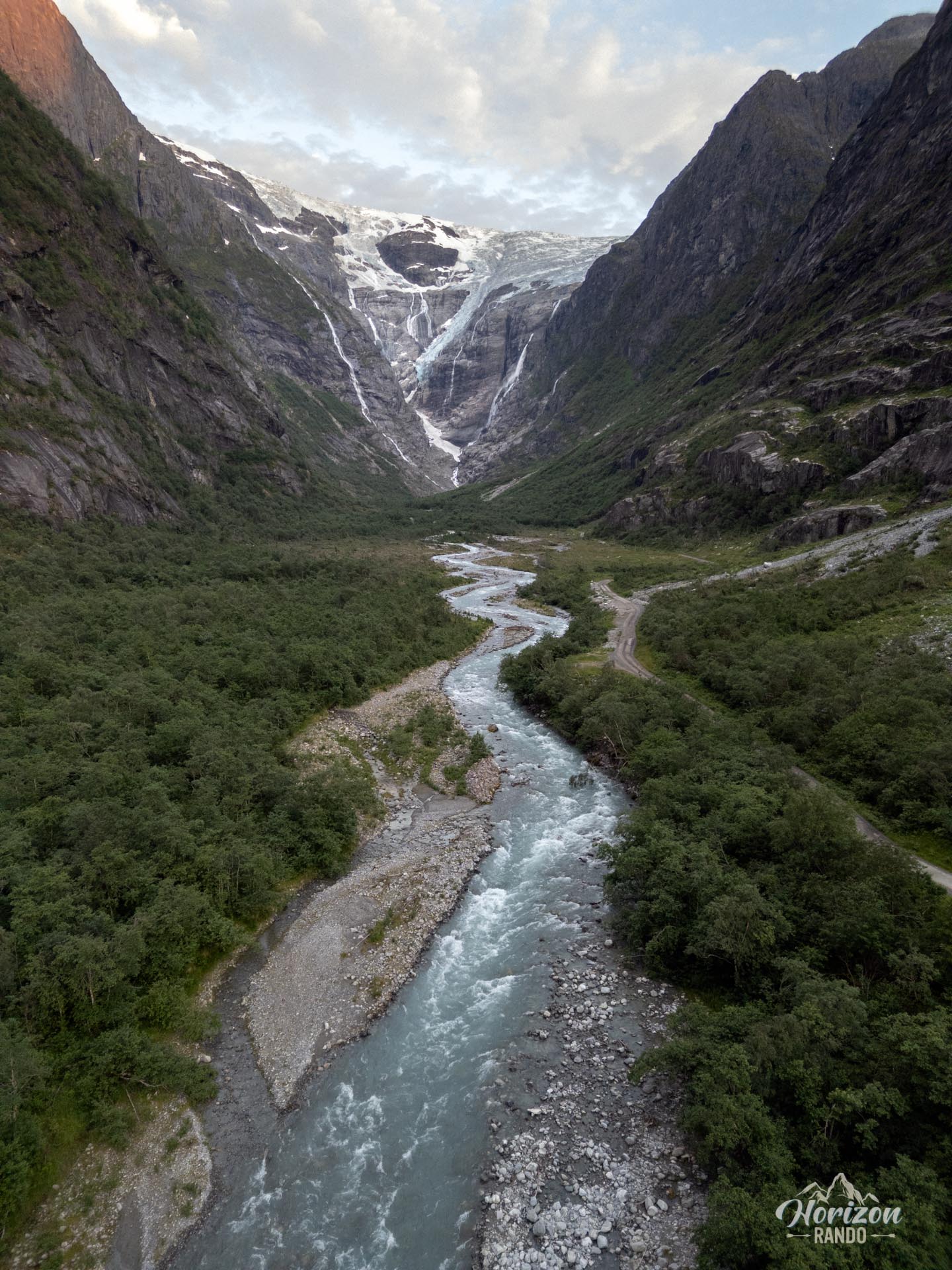
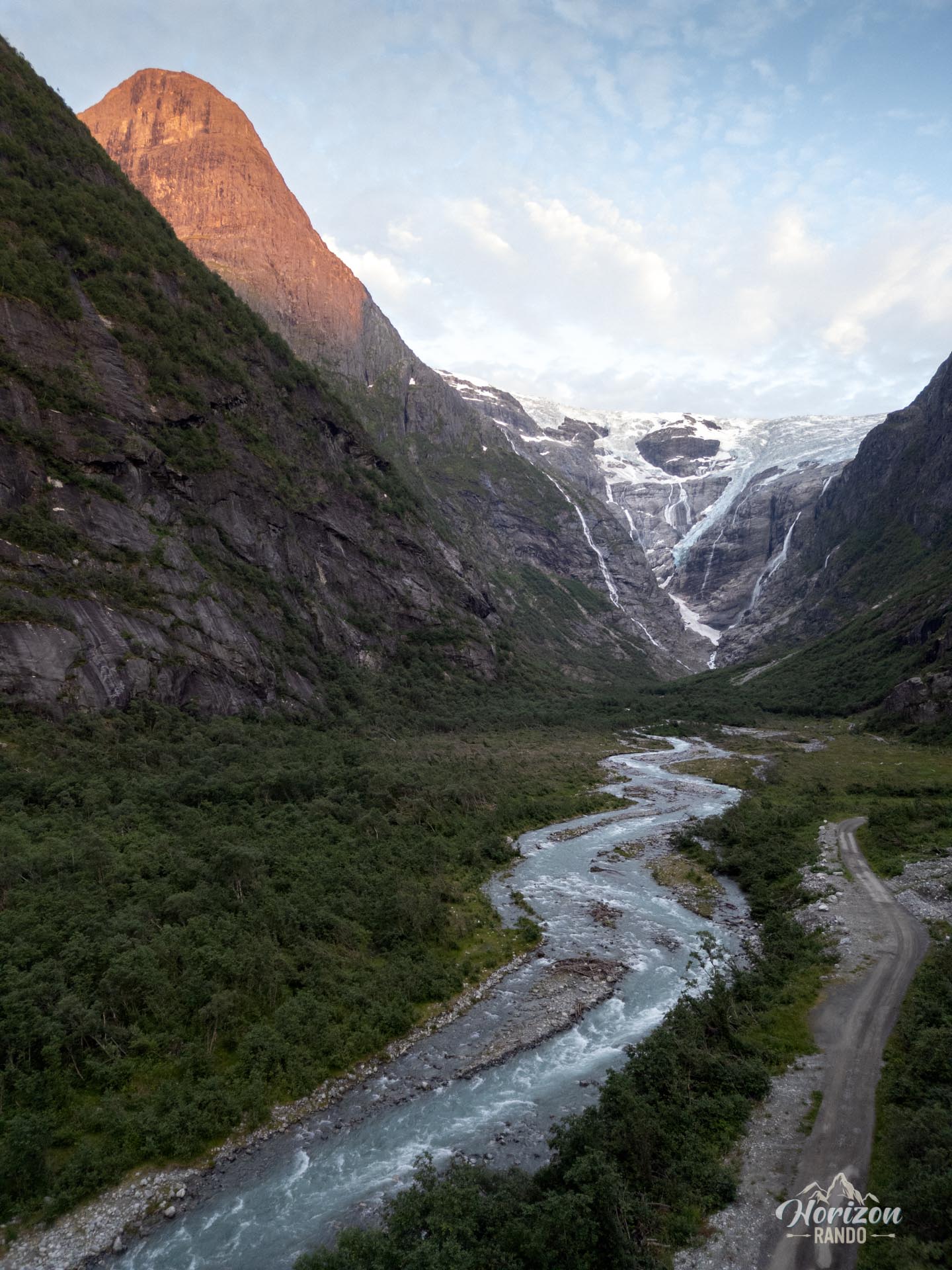
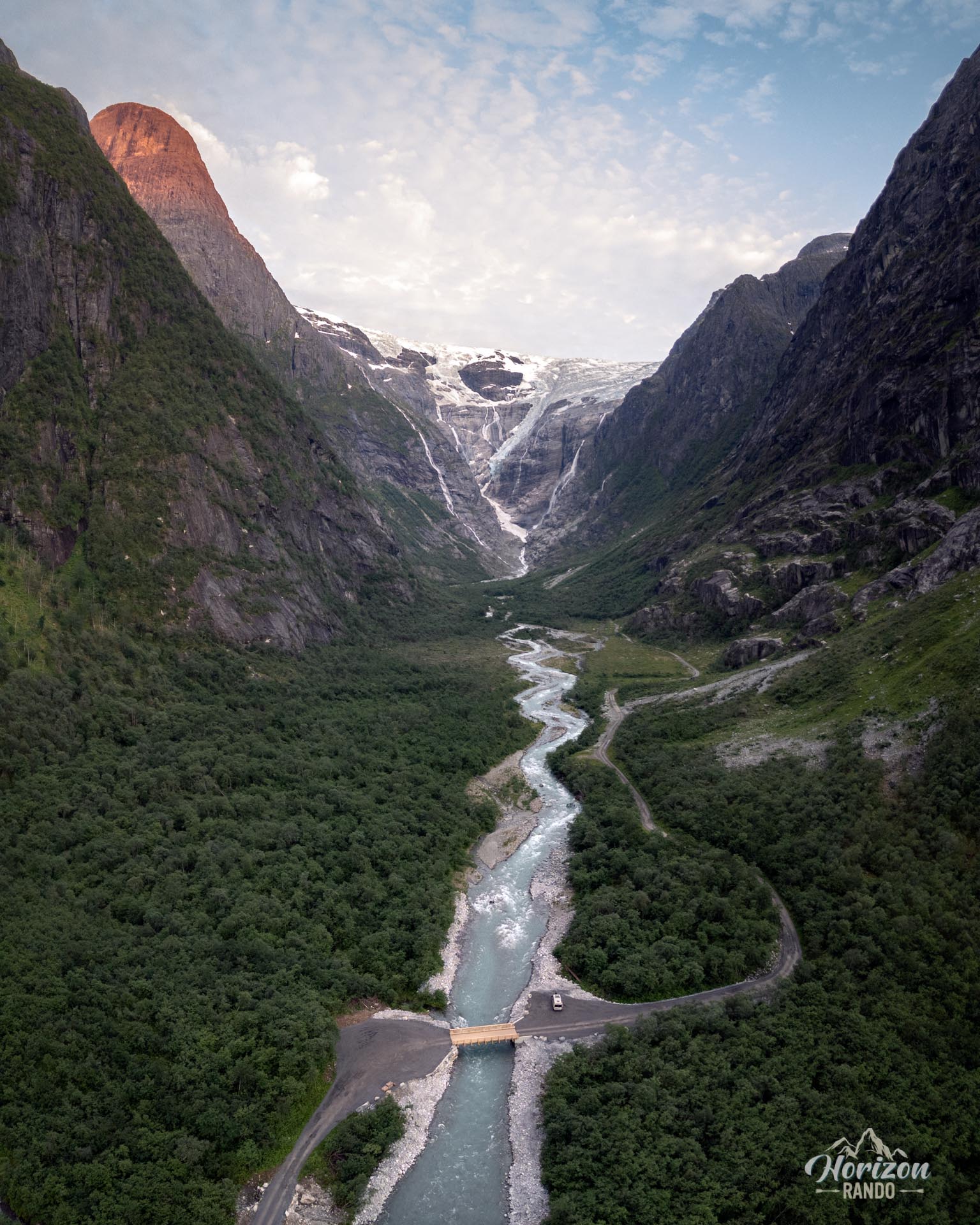
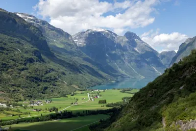
The Kjenndal Glacier, an arm of the Jostedalsbreen—the largest ice cap in continental Europe—is located in the heart of a spectacular glacial cirque at the end of the Kjenndalen valley. Getting to this remarkable site is an unforgettable experience in itself. The scenic road winds along Lake Lovatnet and crosses the Lodalen and Kjenndalen valleys, revealing a succession of breathtaking landscapes, including turquoise lakes, powerful waterfalls, and vertiginous mountain walls.
This outing is more than a traditional hike; it's a harmonious combination of an unforgettable scenic drive and a very short walk to a glacier overlook.
Map and elevation profile of the hike
Kjenndal Glacier Hike
Difficulties of the hike
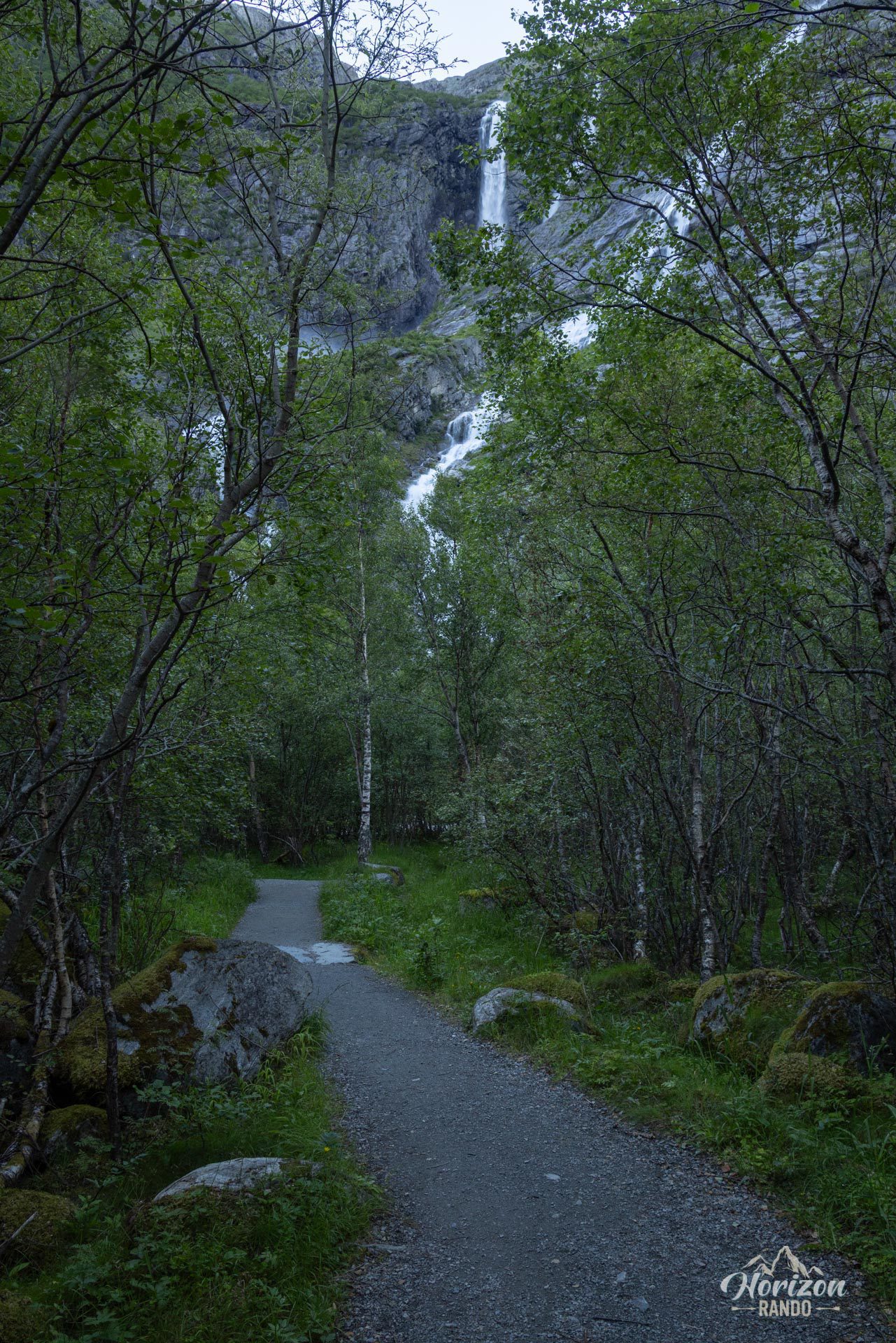
The walk from the parking lot to the glacier overlook is very short, taking only about 15 minutes, and the trail is easy. There are no technical difficulties, so it is accessible even to families with young children. Navigating this short stretch is straightforward and does not require specific markings.
What you'll love
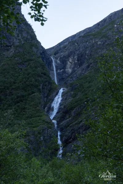
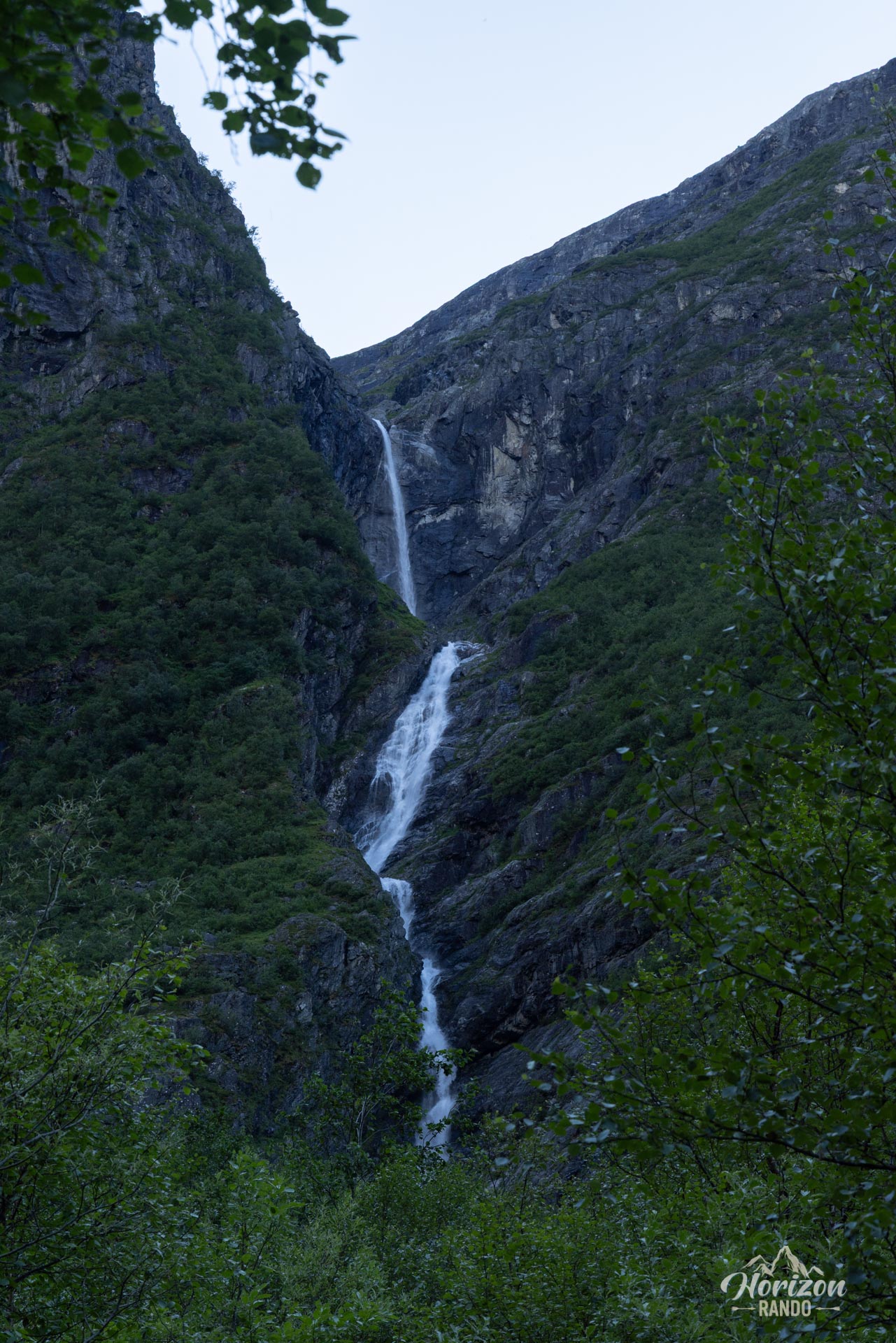
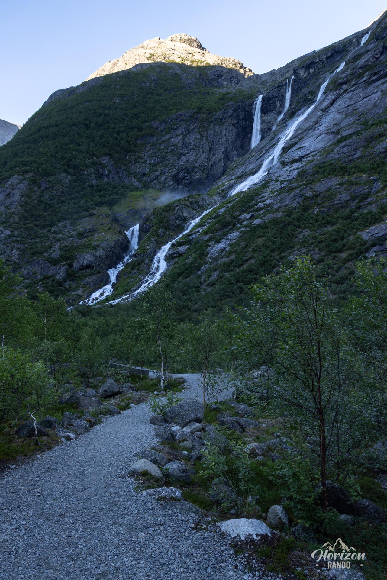
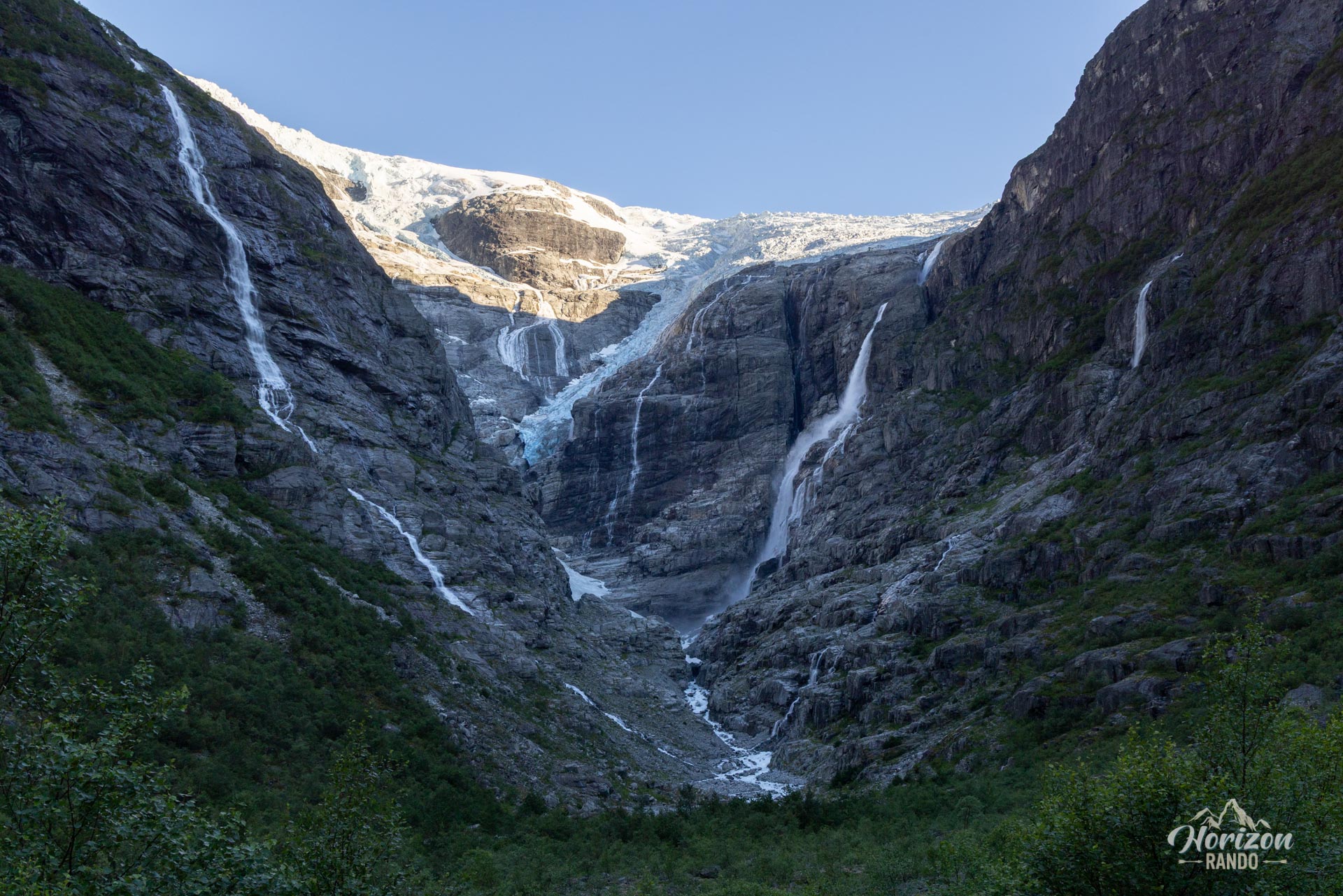
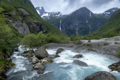
- Spectacular scenery: Discover an impressive natural amphitheater surrounded by towering cliffs with numerous waterfalls and memorable glacier views.
- Scenic route: The drive through the Lodalen Valley is an attraction in itself, revealing magnificent views of Lake Lovatnet and the surrounding mountains.
- A peaceful atmosphere: Less crowded than other popular glacier sites in the area, such as its neighbor Briksdalsbreen in the Oldevatnet Valley, Kjendalsbreen offers a more intimate experience with Norwegian nature.
Practical information
Winter closure
The access road is closed in winter. Depending on weather conditions, access to the site is generally possible from May to October.
Access
There is a toll on the road to Kjenndalen (indicative cost of NOK 70 for a car and NOK 200 for a camper van in 2025). Parking on site is free.
Glacier evolution
Like all Norwegian glaciers, the Kjendal glacier has receded significantly since the 1990s. Its glacier tongue is less spectacular today, but the setting remains stunning.
Photos
See all 15 photos →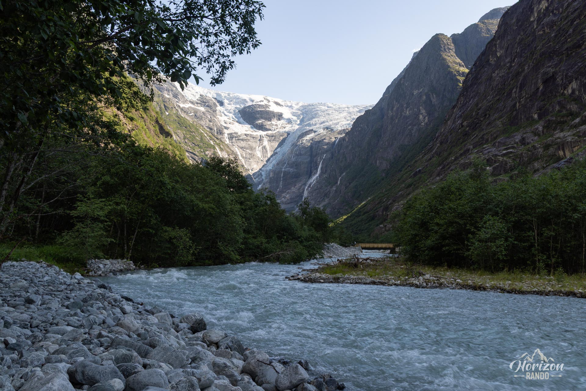
More hikes to do in Norway
Nearby hikes

















Printed from www.horizonrando.fr/en/norway/kjenndal-glacier/