





Urkeegga Ridge Hike
Key facts about the hike
- Difficulty
- Hard Hikes are rated from very easy to very hard: my difficulty scale
- Duration
- 5h30 Estimated time, short breaks included (photos, water, snacks), picnic not included: how it is calculated
- Distance
- 10.3km
- Elevation gain
- 960m
- Type of route
- Loop
- Maximum altitude
- 1,021 m
- Vertiginous Five levels, depending on how exposed the route is: the levels in detail
- Moderately
- Marked
- No
- Popularity
- Moderate
- County
- Møre og Romsdal
- Start point
- 62.22931, 6.60384
- Activity
- Hiking
Hike overview
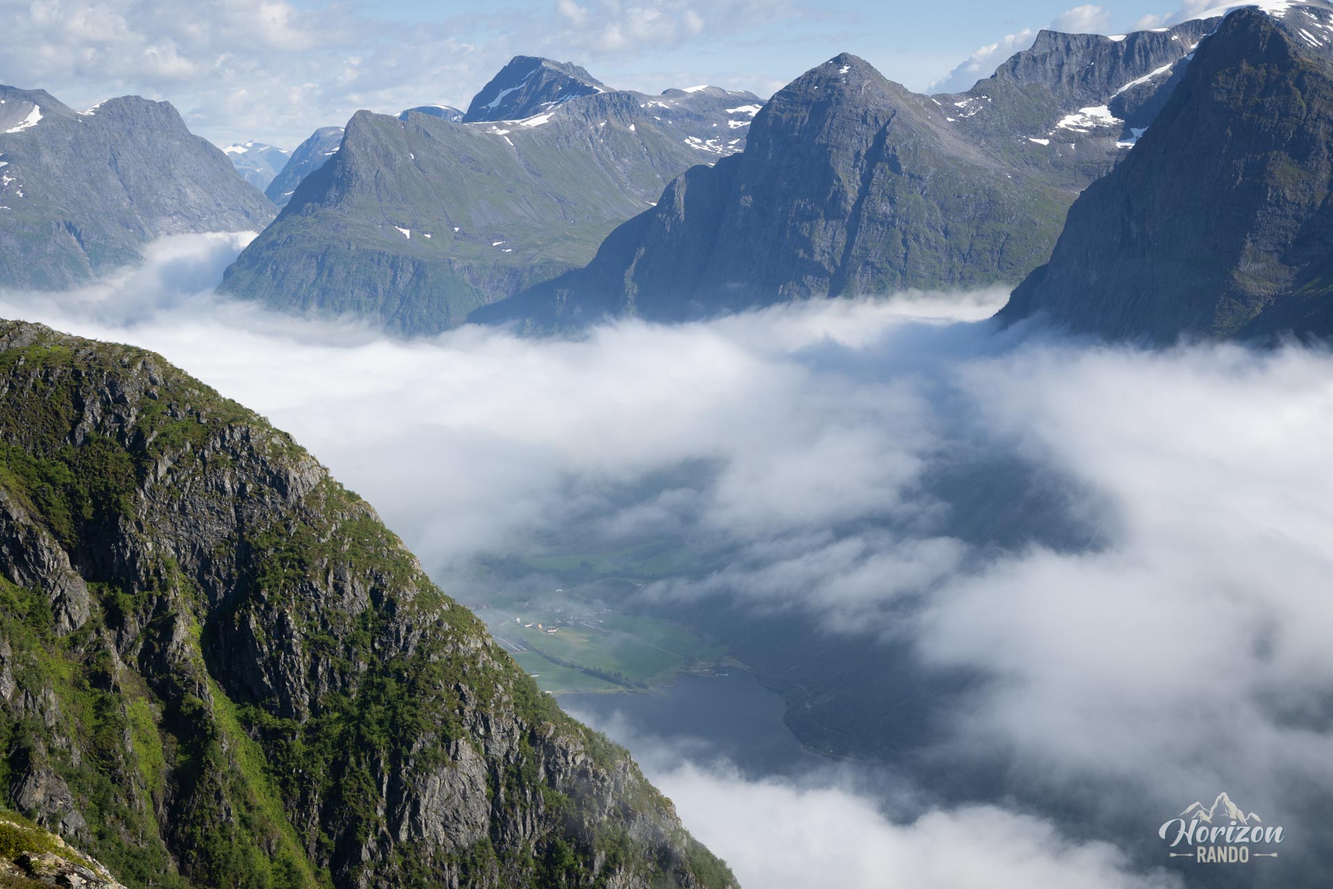
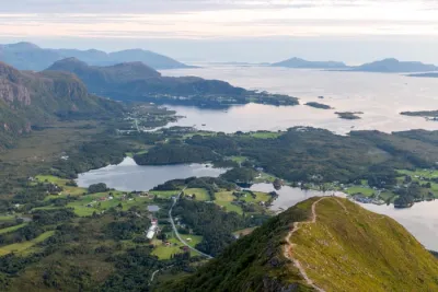
Discover Urkeegga, a spectacular and unforgettable hike in the heart of the Sunnmøre Alps in Norway. Overlooking the picturesque village of Urke and the emerald waters of the Hjørundfjord, this route features a magnificent ridge crossing – Urkeegga literally means “Urke's Ridge.” Immerse yourself in a wild landscape, where the panoramic views of the fjord and the surrounding peaks, so characteristic of the region, will leave you speechless.
Map and elevation profile of the hike
Urkeegga Ridge Hike
Description and difficulties of the hike
Expect a challenging hike: this trail has an elevation gain of nearly 1,000 meters over about 10 kilometers. I recommend following the clockwise route (see the Remarks section for details). This way, you will enjoy a steady climb with a moderate slope. This approach will easily take you to the highest point of the route: the 1,021-meter summit of Maudekollen.
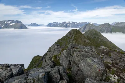
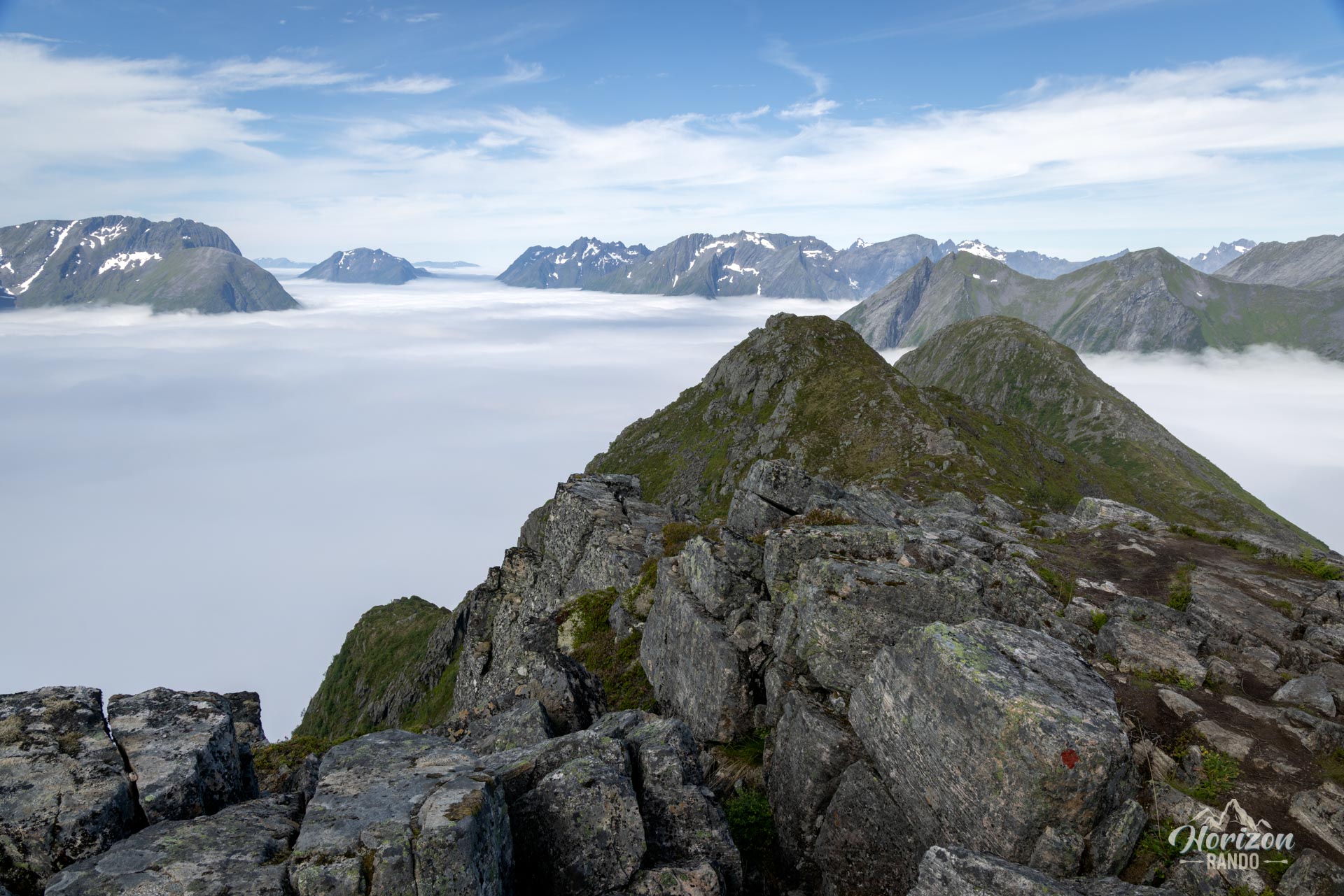
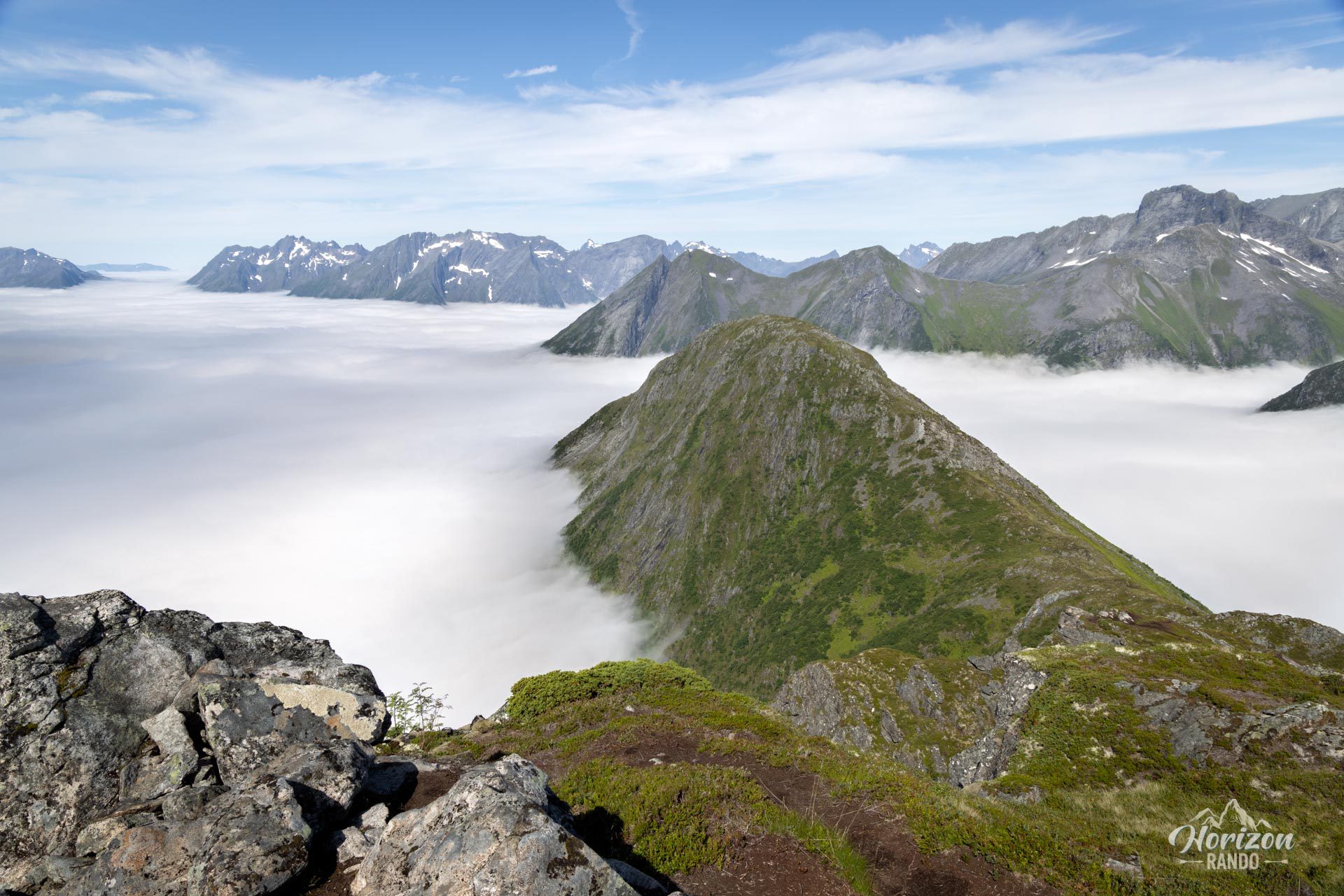
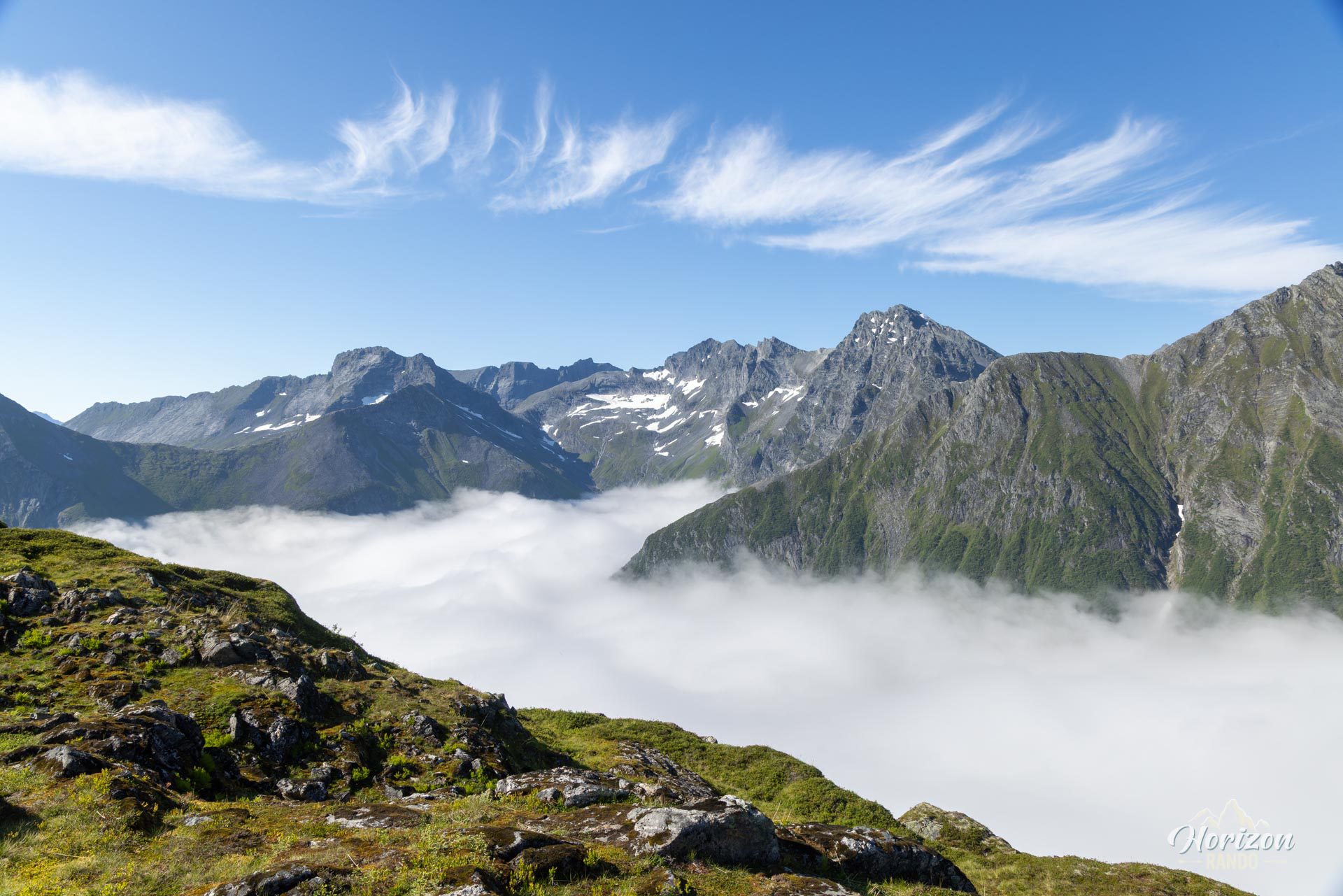
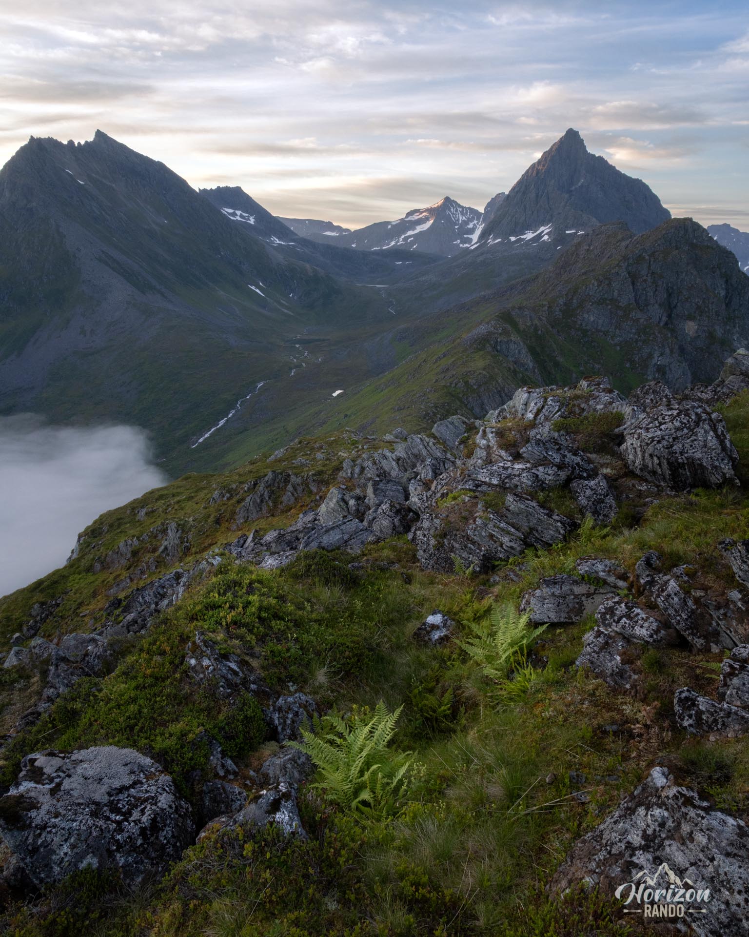
The ridge walk is the highlight of the experience. This is where the route reveals all its magic, offering magnificent views on both sides. Though the terrain is sometimes uneven, the ridge is mostly wide and does not present any significant technical challenges. Only a few short passages may impress those who are afraid of heights. However, caution is advised during the descent into the forest from the second peak, Klokksegga (940 m): this is the most technical section of the route, as it is very steep and the trail is particularly muddy and slippery.
There is minimal markings, only at intersections, which is generally sufficient but it requires constant attention. A few directional signs supplement the markings. The trail is generally well defined and relatively busy, especially with Norwegian hikers. The Sunnmøre Alps are a popular destination for locals, although less well known to international tourists—for how long, though?
What you'll love
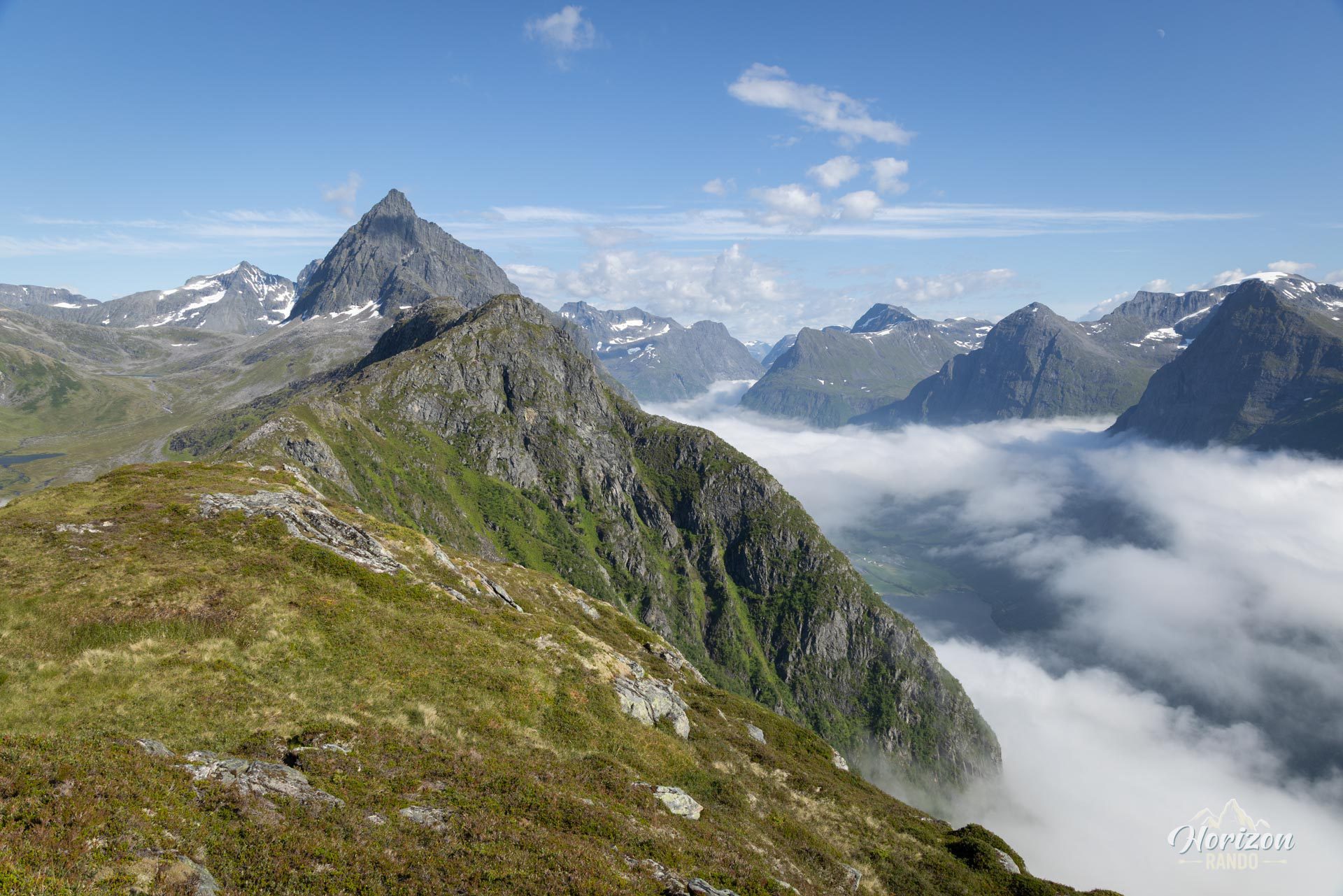
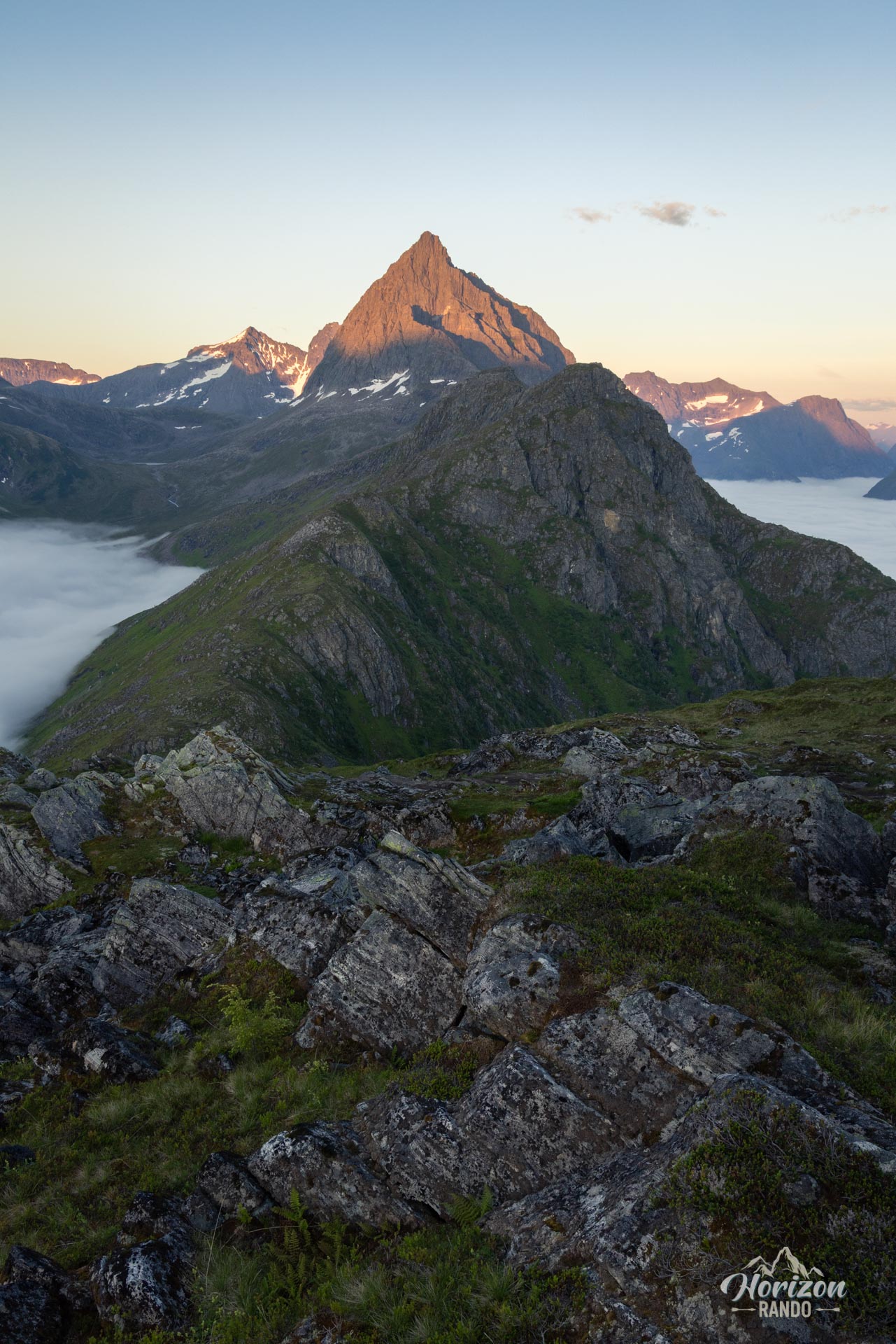
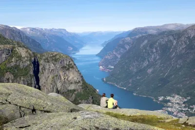
- Breathtaking views: A spectacular panorama of the Sunnmøre Alps, where the mountains seem to plunge directly into the deep waters of the fjords.
- Immersive ridge crossing: An exhilarating experience, with spectacular landscapes unfolding on either side.
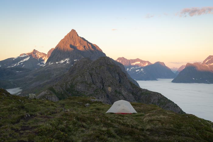
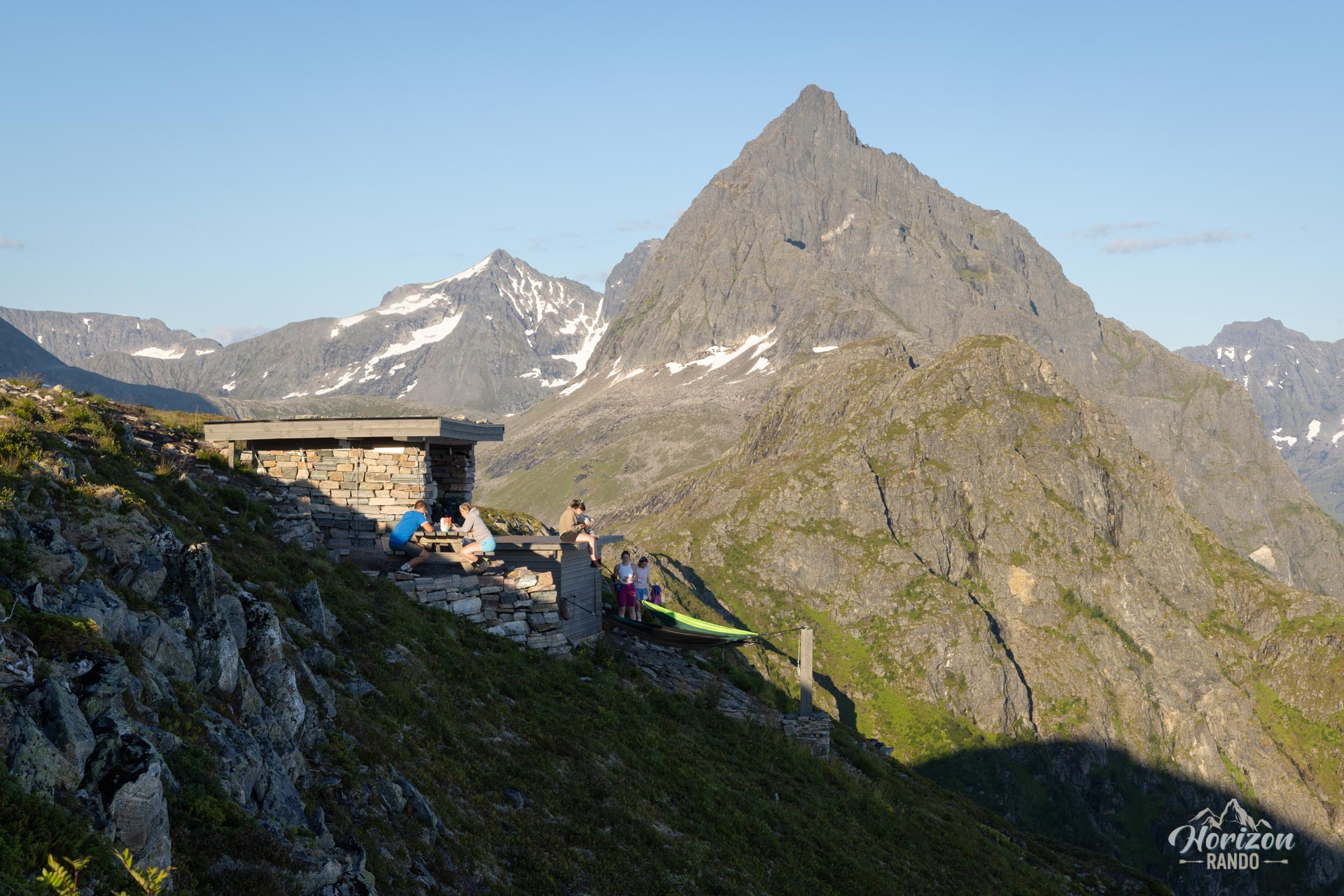
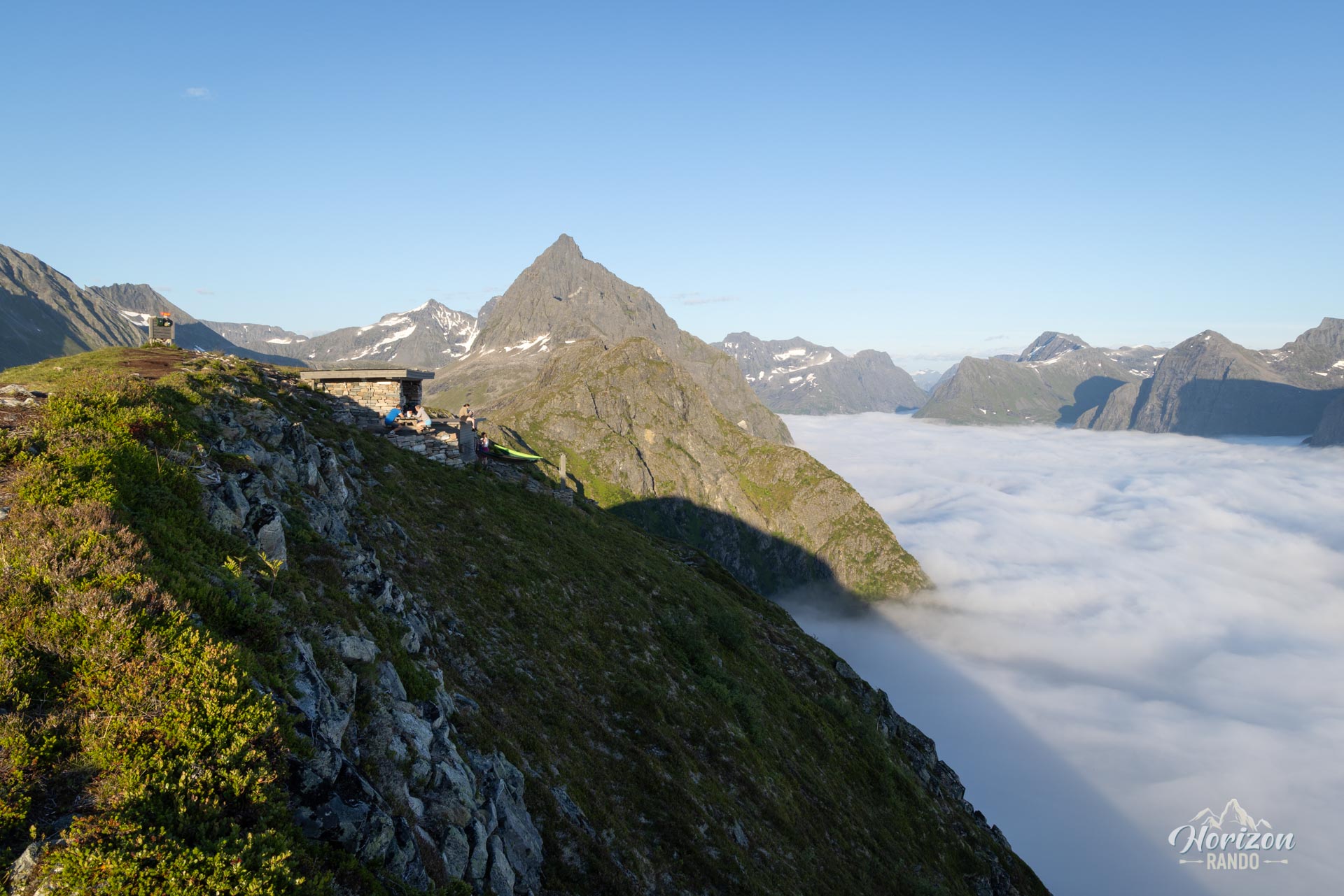
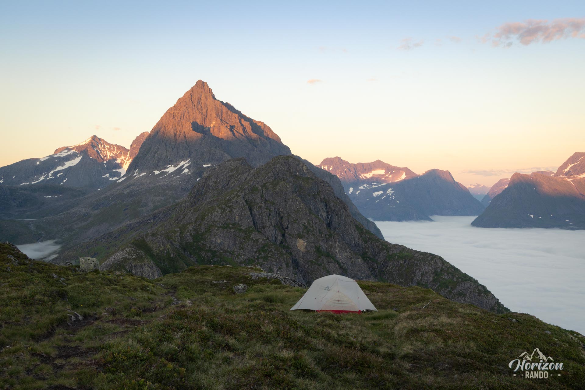
- Break at Egilbu: This small mountain shelter, equipped with benches and a rustic toilet (without a door), is the perfect spot for a welcome break to take in the view. There are also several flat areas nearby where you can pitch a tent for a memorable night in the mountains.
Practical information
Access and parking
- The last 4 km are on a gravel road with a toll (80 NOK in 2025), which is steep but passable, even for motorhomes.
- Alternative: the lower parking lot (alt. 200 m, coordinates: 62.22650, 6.58167) is easier to access but has limited spaces.
Direction of the route
Clockwise allows for a more gradual and less strenuous ascent. This route also offers the best views along the ridge, allowing you to admire the landscape in front of you without constantly turning around.
Best time to go
From mid-June to September, on average. See the Norway FAQ for more details.
Please note
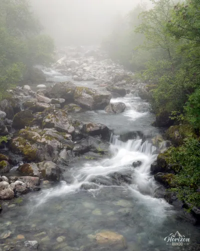
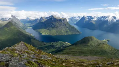
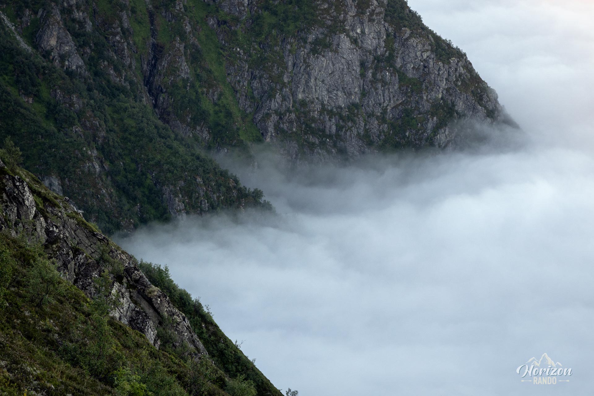
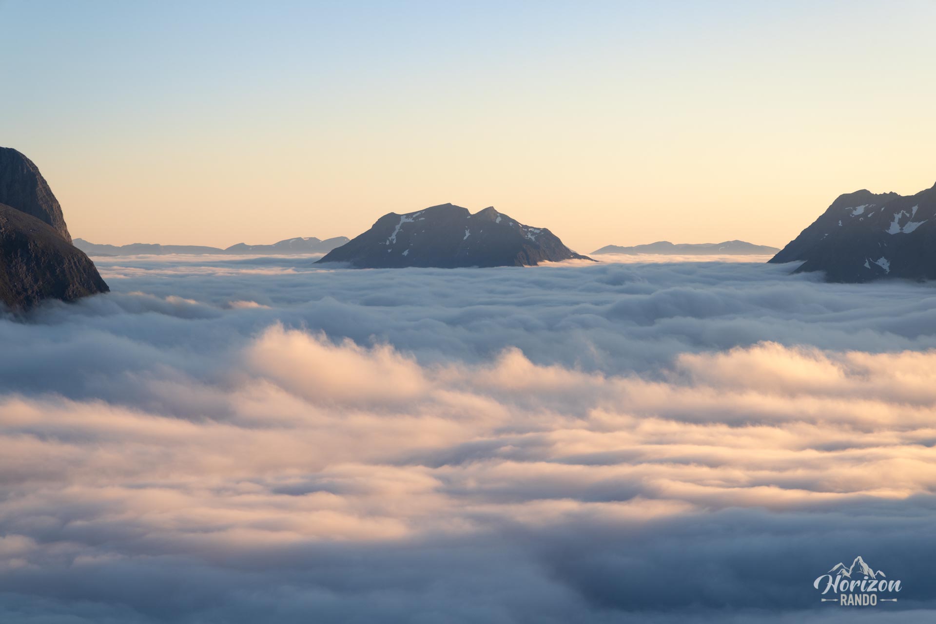
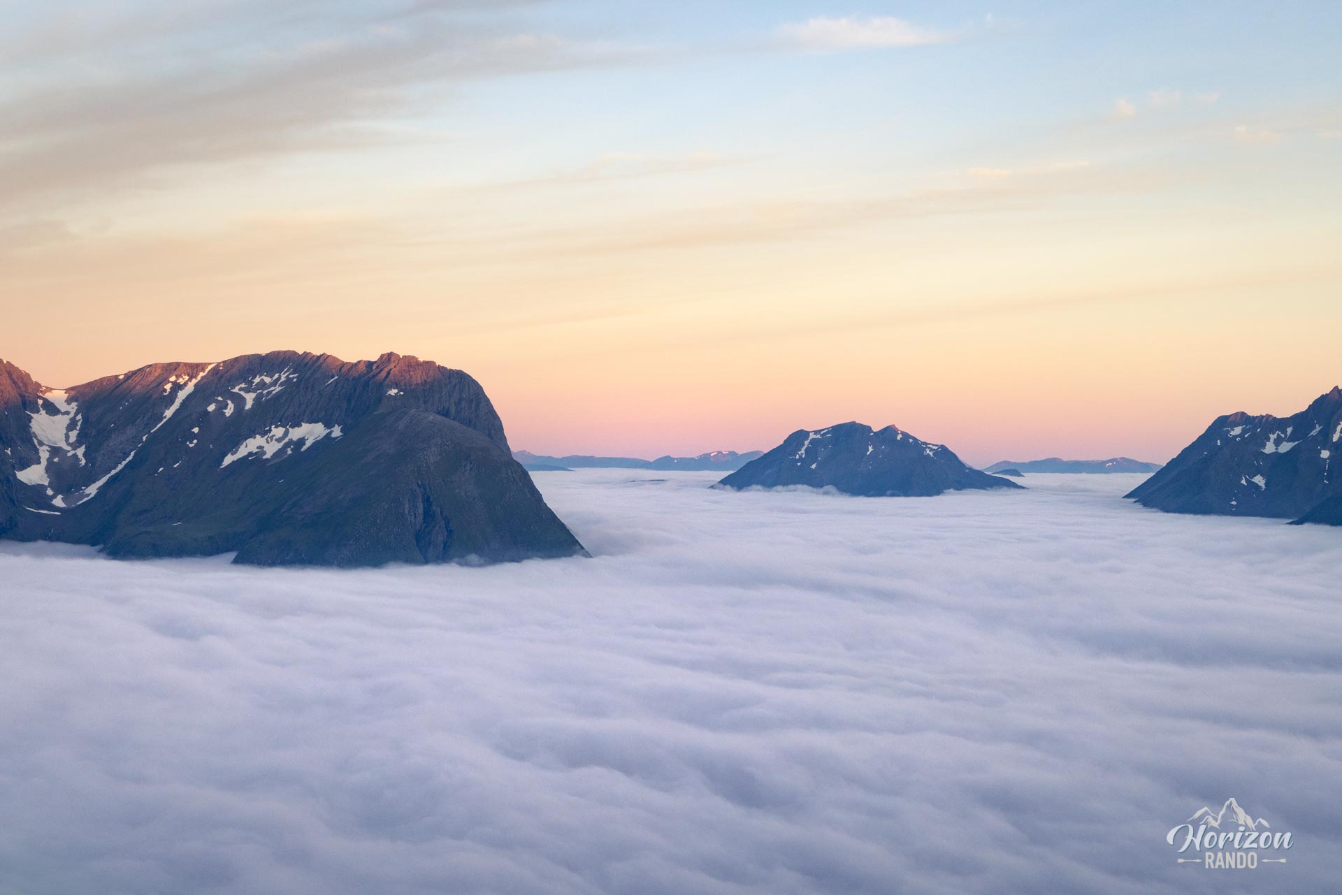
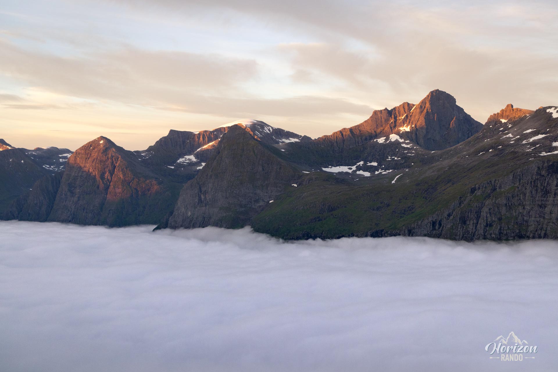
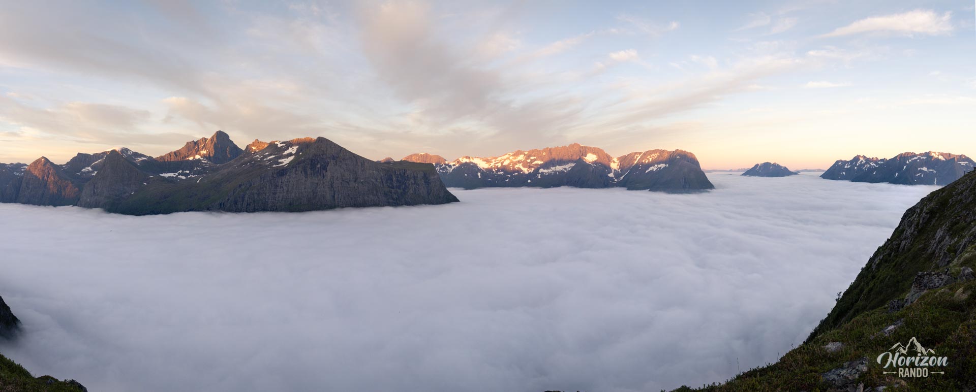
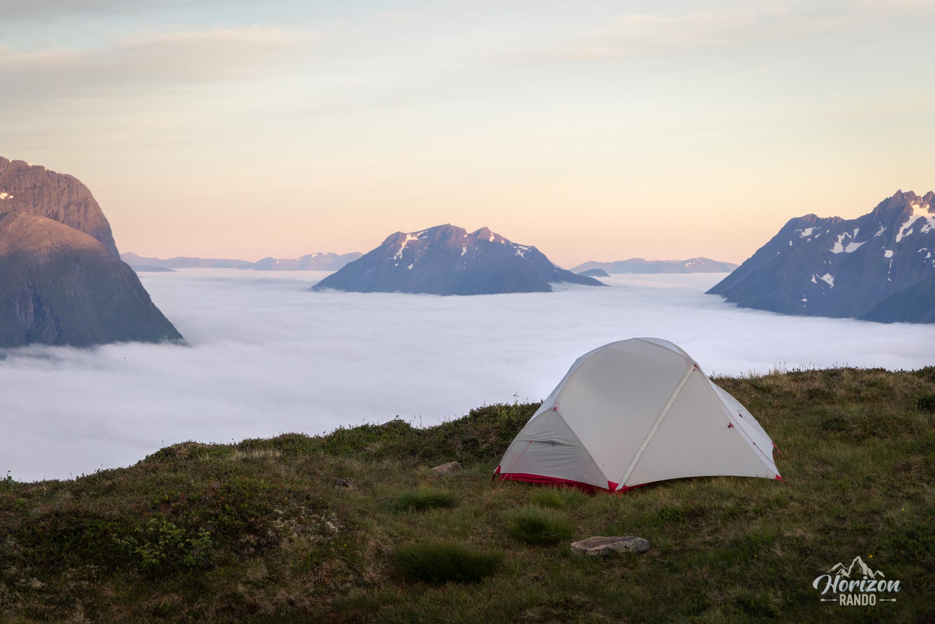
The photos were taken during a sea of clouds over the fjords and do not accurately depict the landscapes you will see in clear weather. To see a more representative view of the Hjørundfjord, check out the photos from the hike to Saksa, the peak opposite.
Photos
See all 18 photos →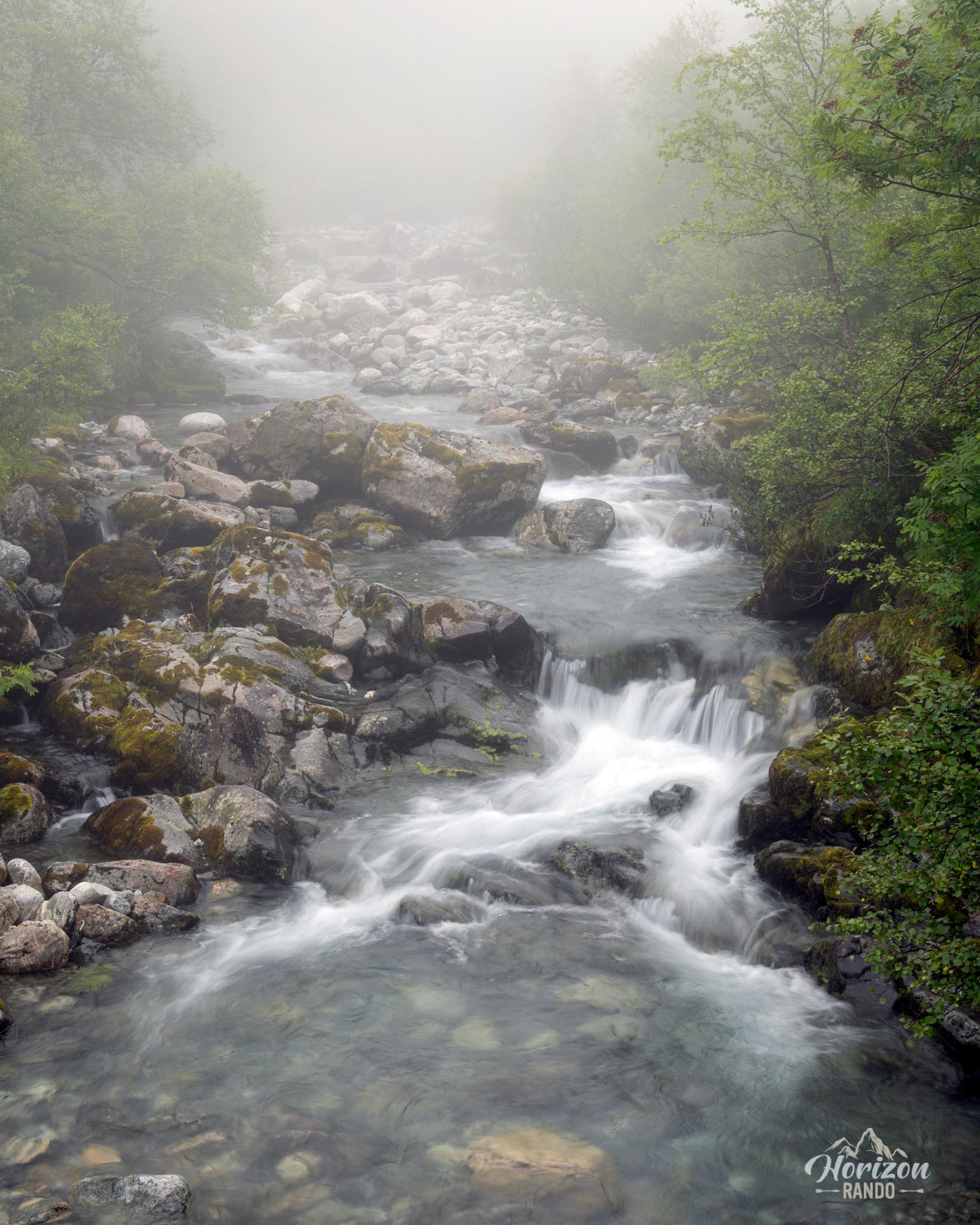

More hikes to do in Norway
Nearby hikes





















Printed from www.horizonrando.fr/en/norway/urkeegga/