






Nesahaugen Hike
Key facts about the hike
- Difficulty
- Moderate Hikes are rated from very easy to very hard: my difficulty scale
- Duration
- 3h15 Estimated time, short breaks included (photos, water, snacks), picnic not included: how it is calculated
- Distance
- 4.8km
- out and back
- Elevation gain
- 670m
- Type of route
- Out and back
- Maximum altitude
- 660 m
- Vertiginous Five levels, depending on how exposed the route is: the levels in detail
- Slightly
- Marked
- Yes
- Popularity
- Low
- County
- Vestland
- Start point
- 61.38906, 6.74030
- Activity
- Hiking
Hike overview
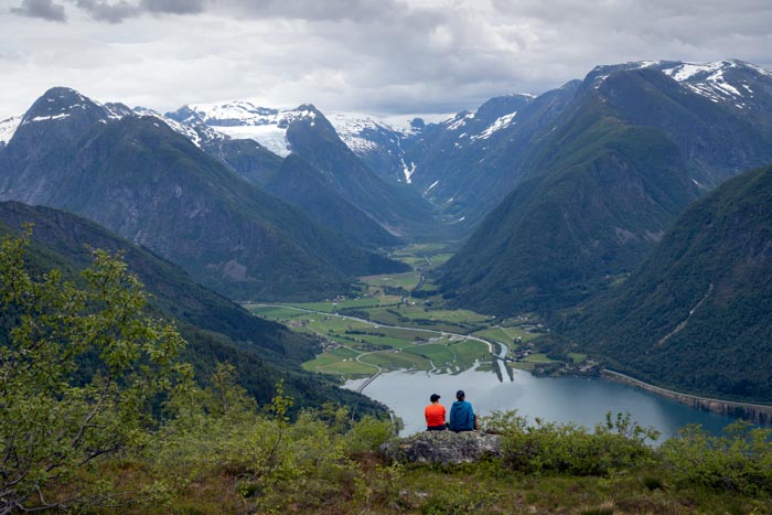
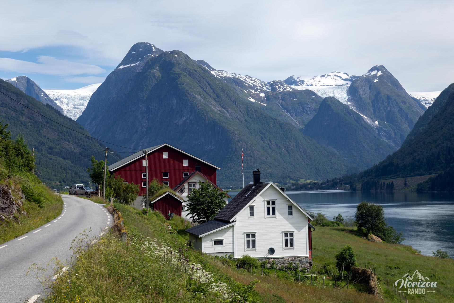
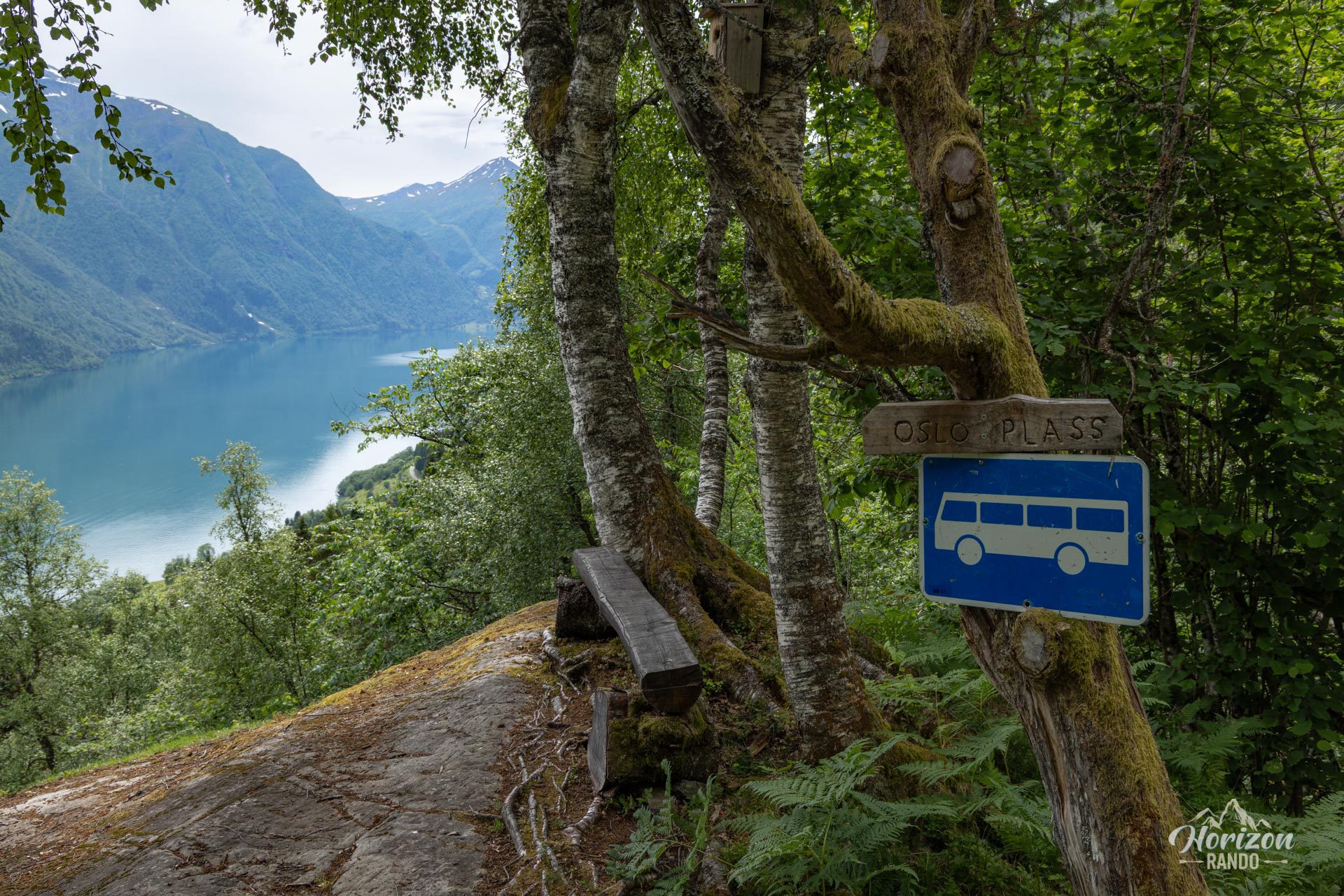
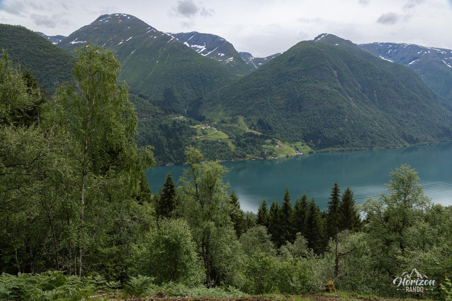
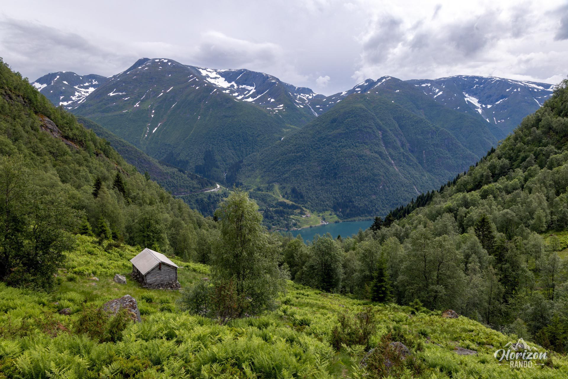
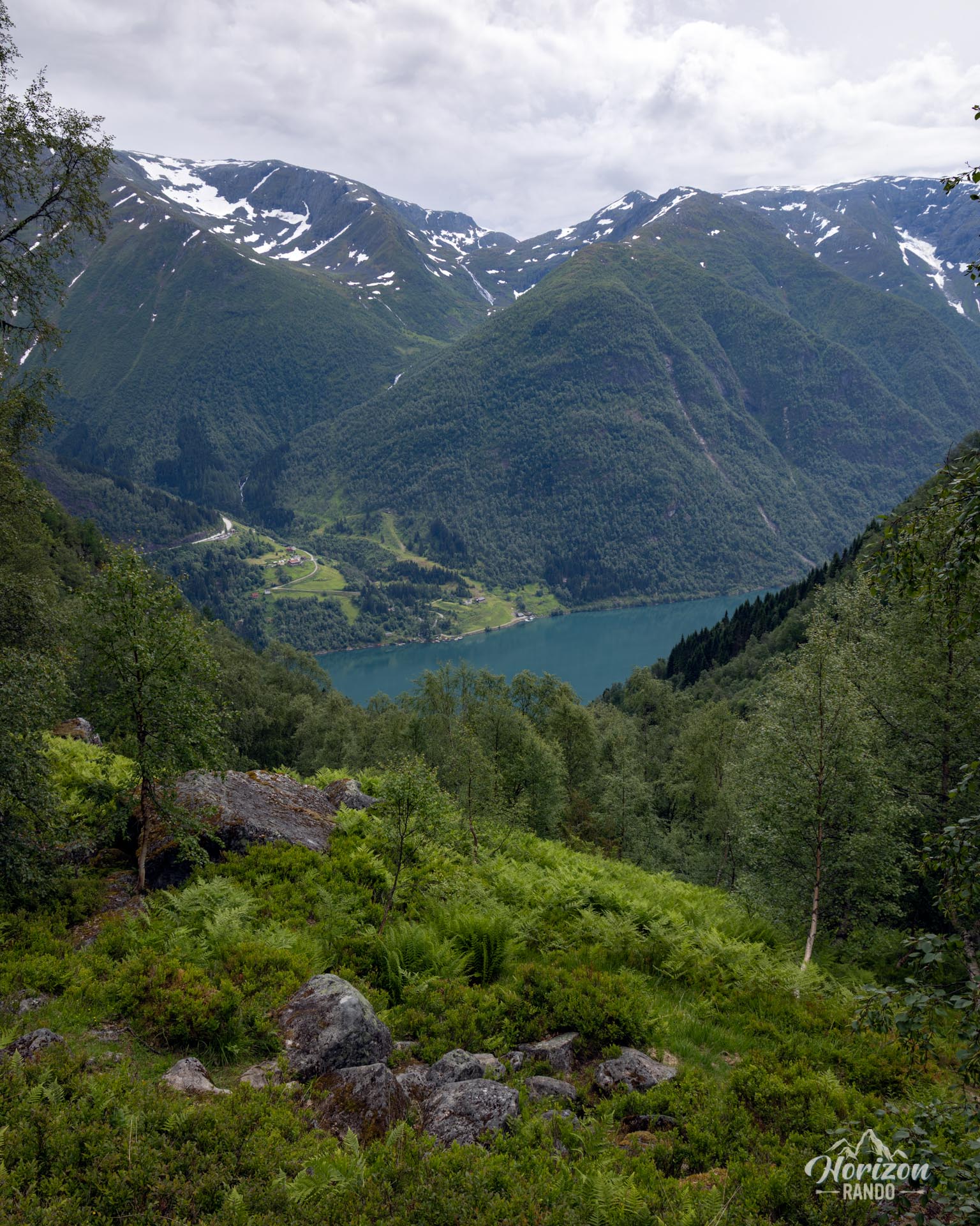
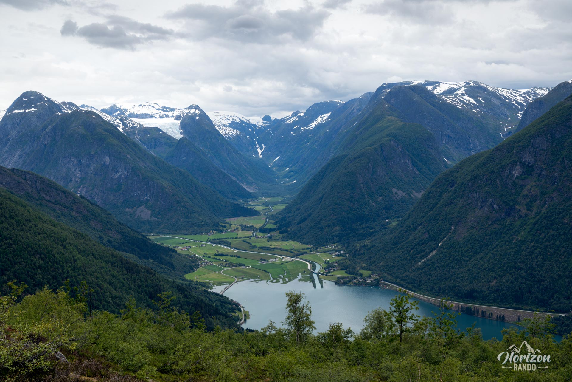
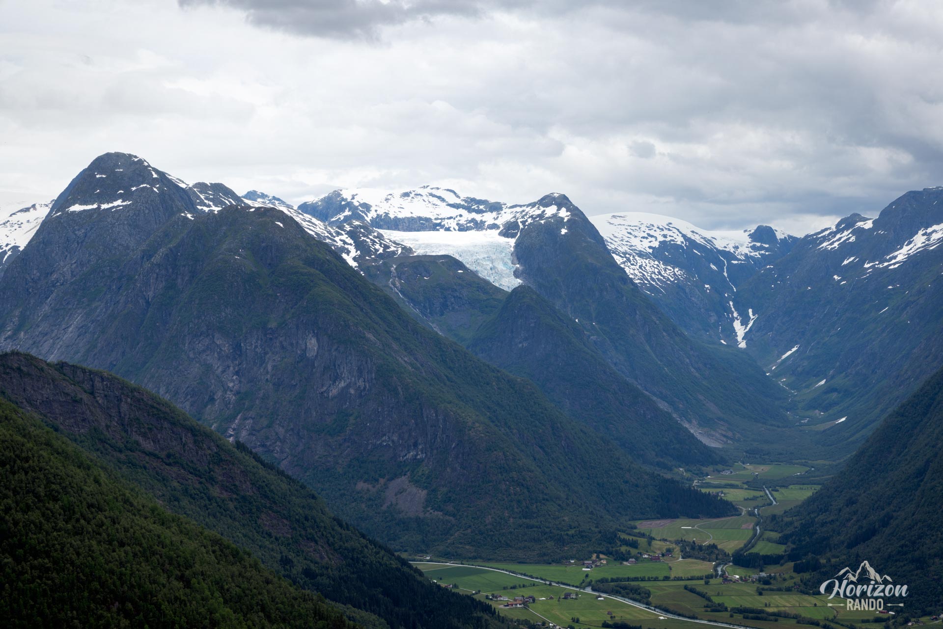
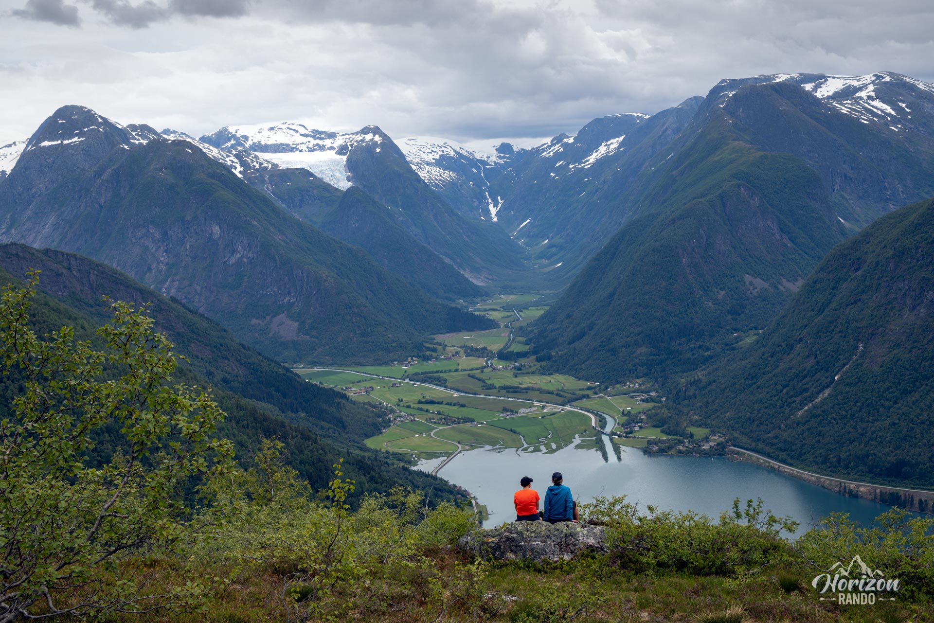
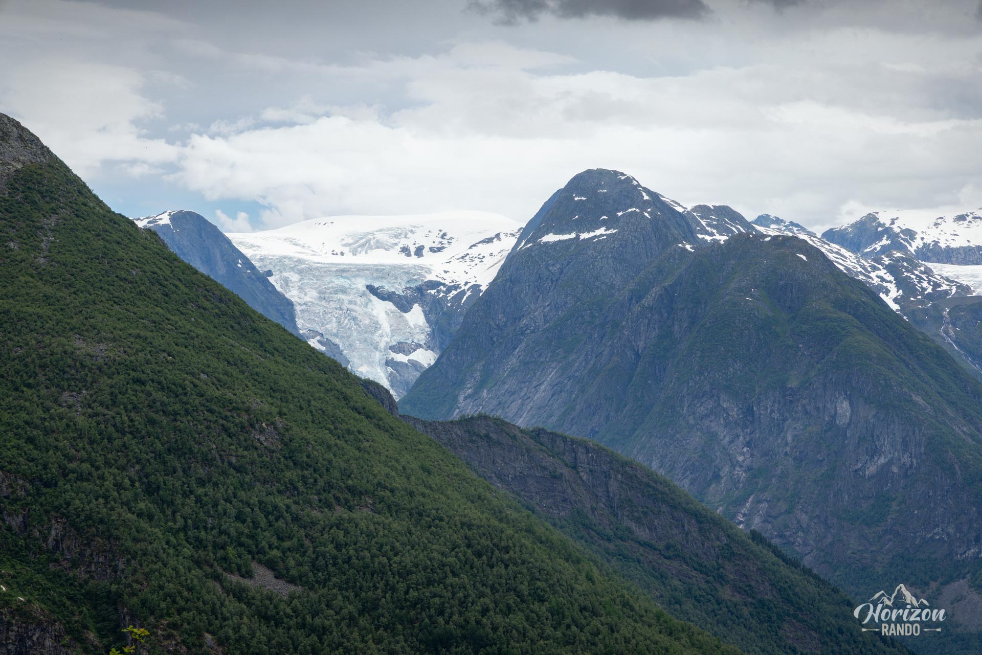
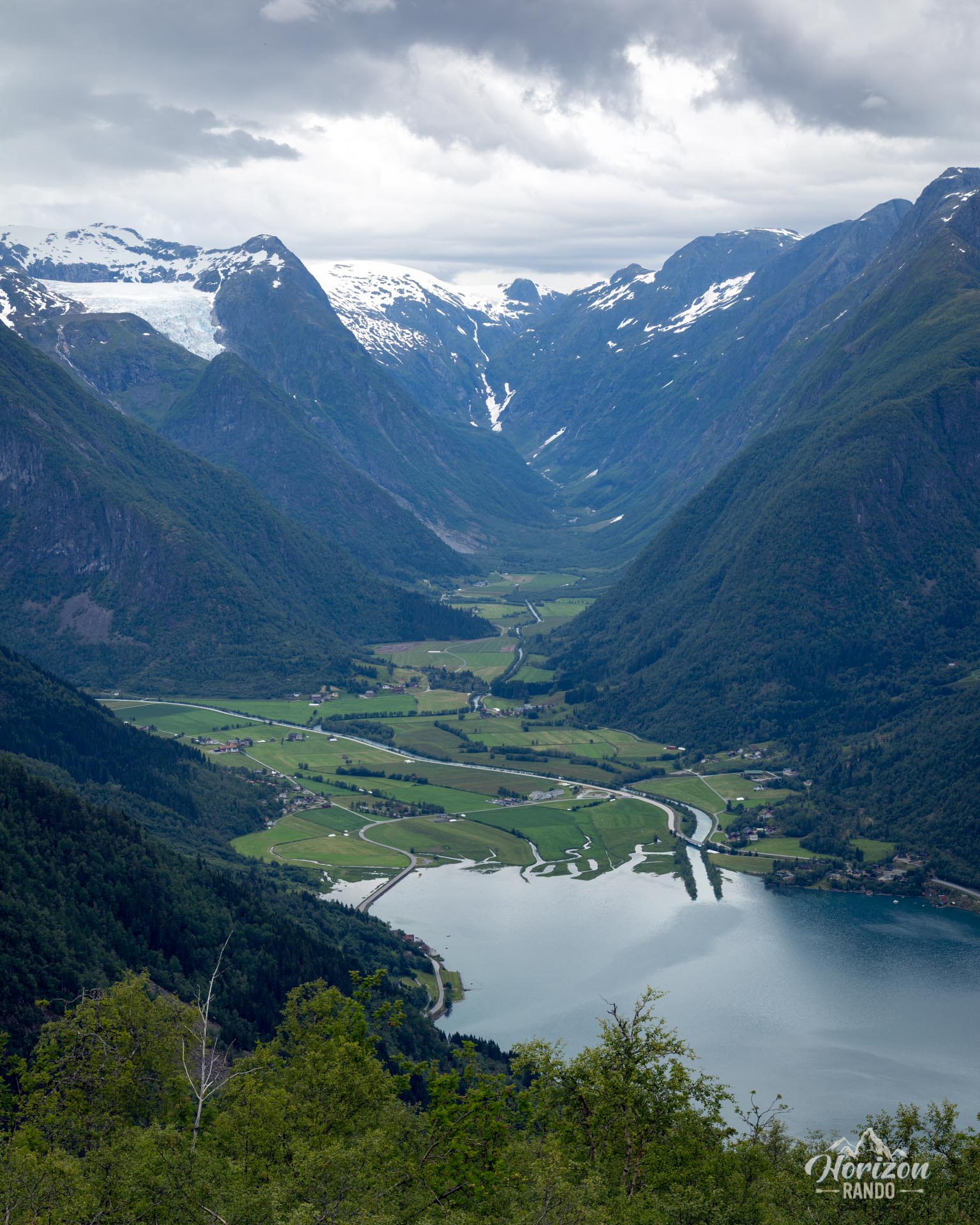
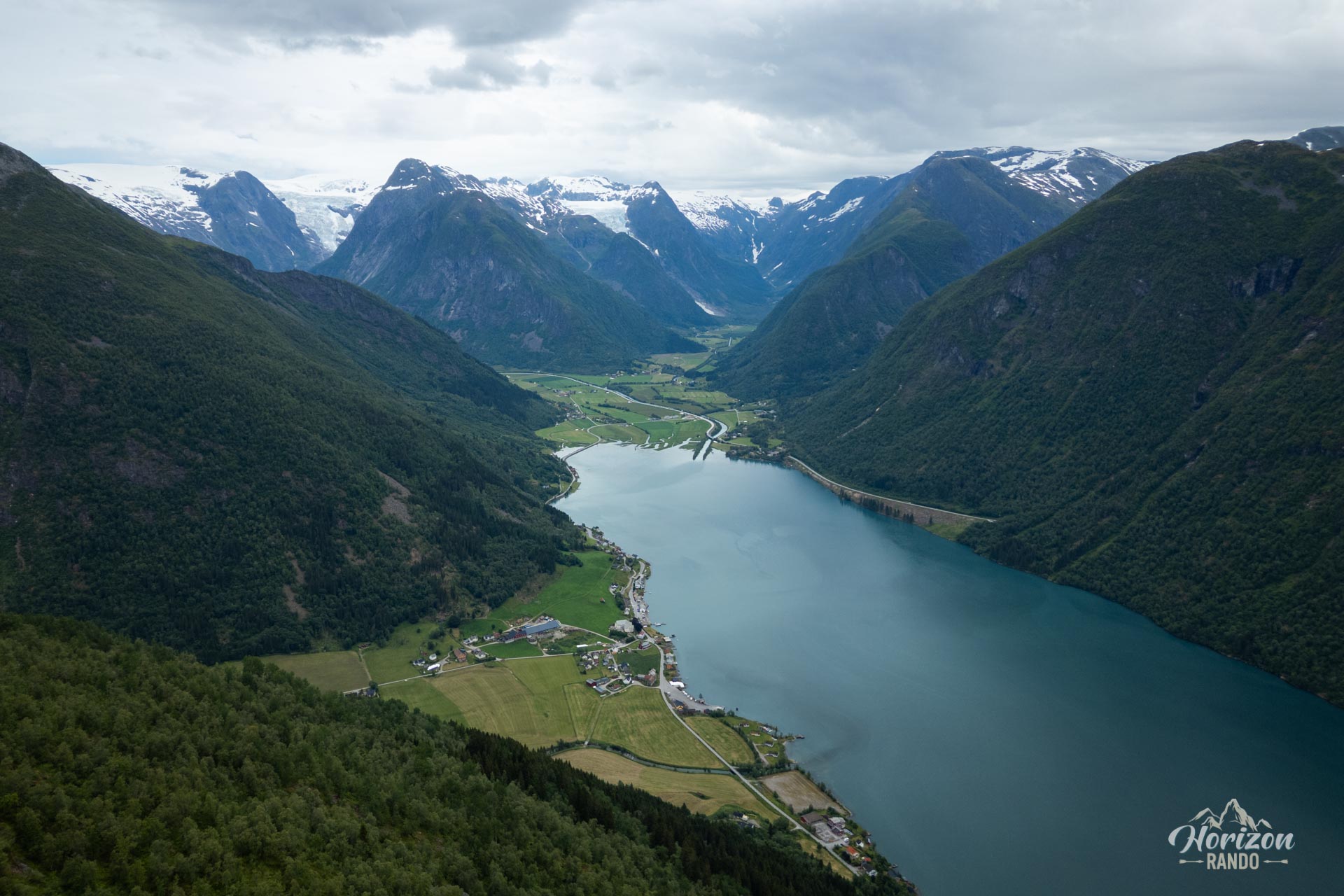
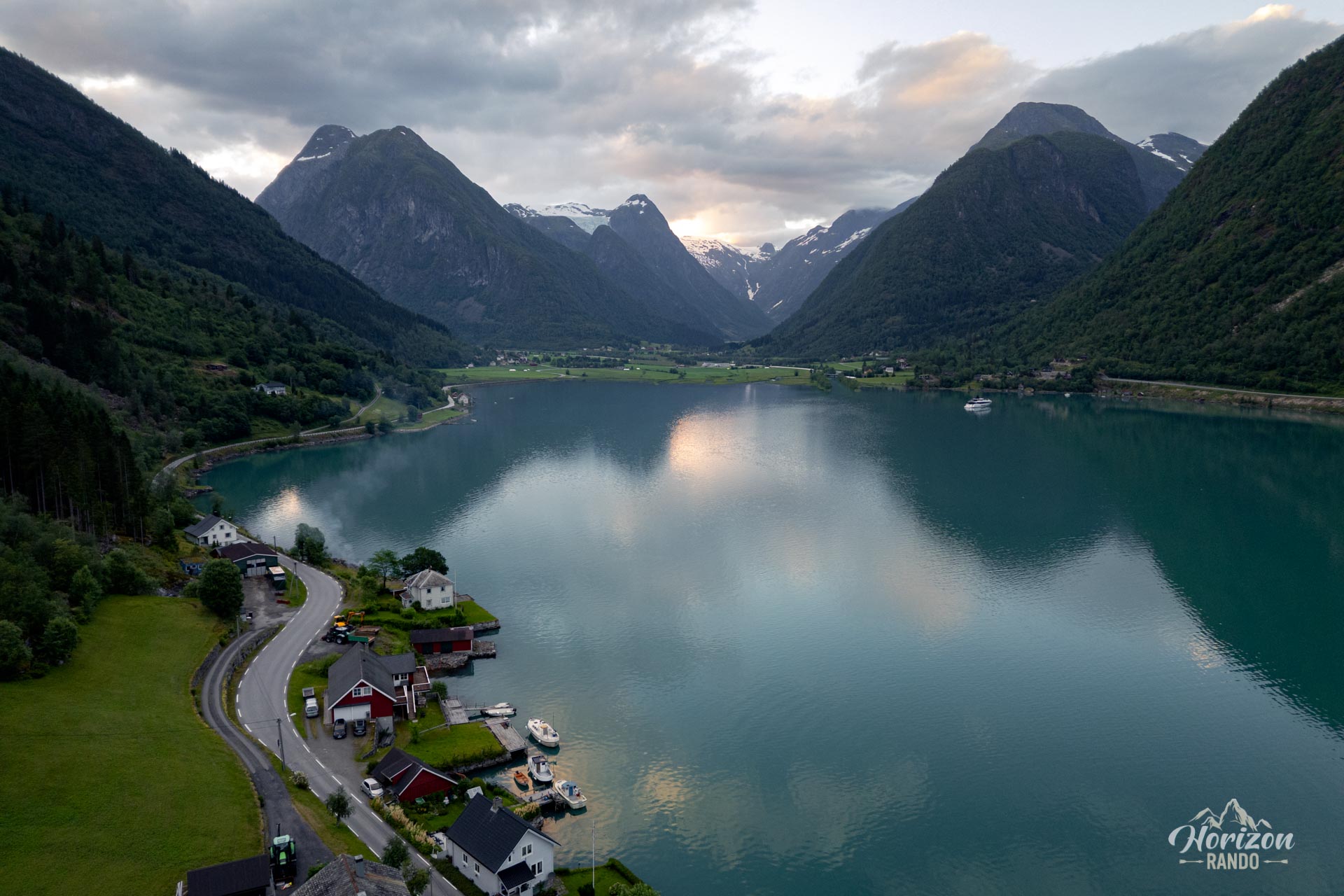
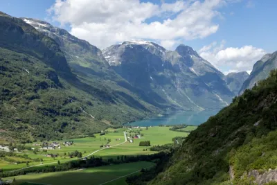
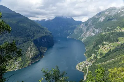
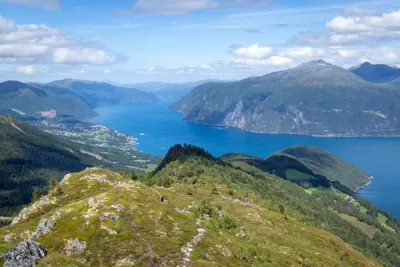
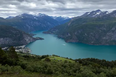
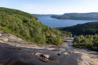
Discover the relatively unknown Nesahaugen hike, which offers exceptional views of the Fjærlandsfjord and Jostedalsbreen glaciers. Located near the village of Fjærland, in Norway, the trail passes through a dense forest and continues on to the former mountain pasture of Hamrastølen and the Nesahaugen viewpoint. There, you can enjoy stunning vistas of the fjord and the surrounding mountains. This moderate hike is ideal for lovers of tranquility and wide open spaces.
Map and elevation profile of the hike
Nesahaugen Hike
Difficulties of the hike
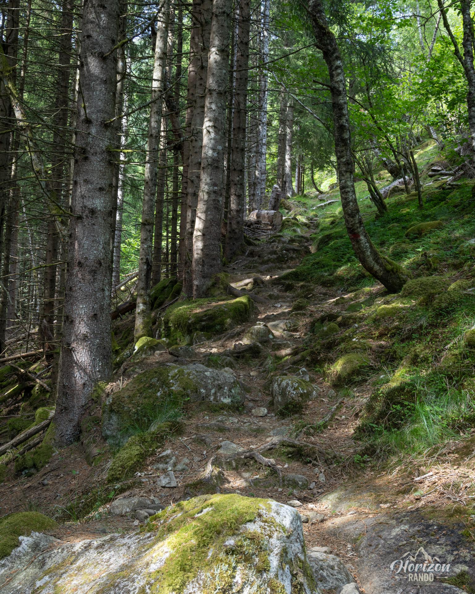
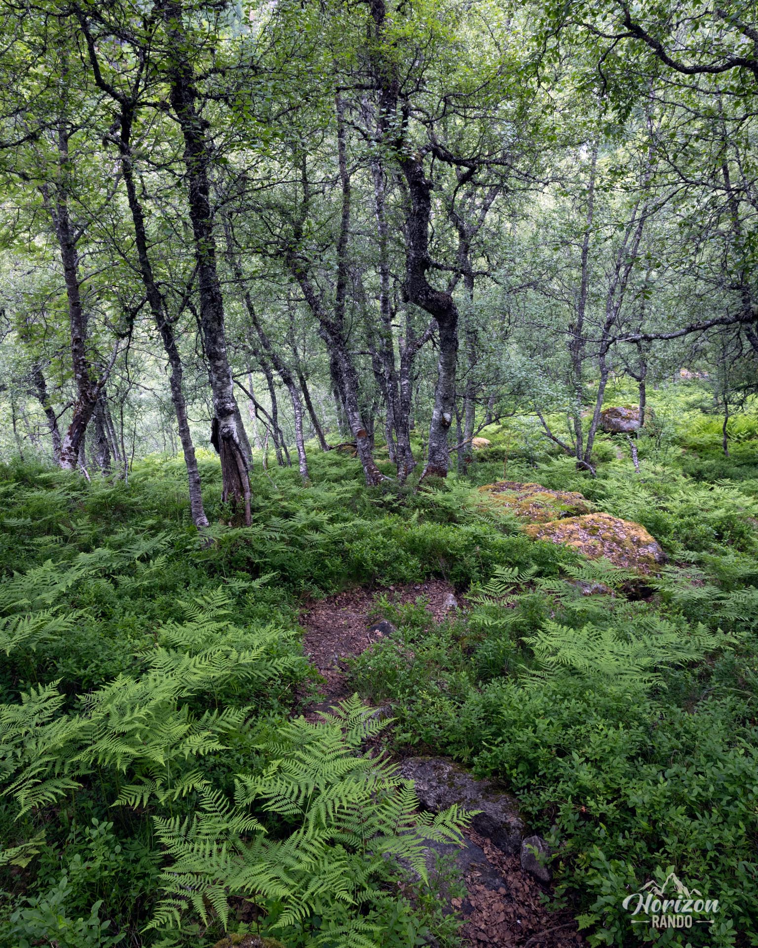
The Nesahaugen hike is short but demanding, with a sustained climb, particularly in the final section. However, it does not present any significant technical difficulties. Starting at the Homrane farm, the well-marked trail winds mainly through the forest.
What you'll love
- Unforgettable views of the Fjærlandsfjord and the glacier tongues of Jostedalsbreen.
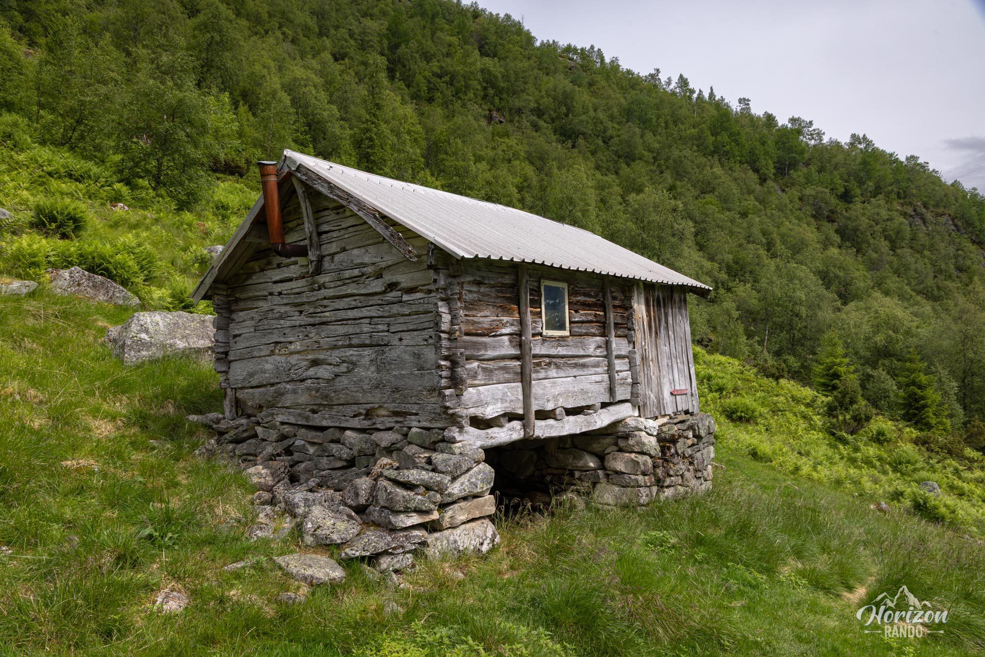
- The crossing of Hamrastølen, a former summer farm, perfect for a mid-trip break.
Practical information
Access
There is no parking at the trailhead. However, you can park along the road a few hundred meters from Homrane Farm.
Best time to go
From mid-May to October, on average. See the Norway FAQ for more details.
Photos
See all 19 photos →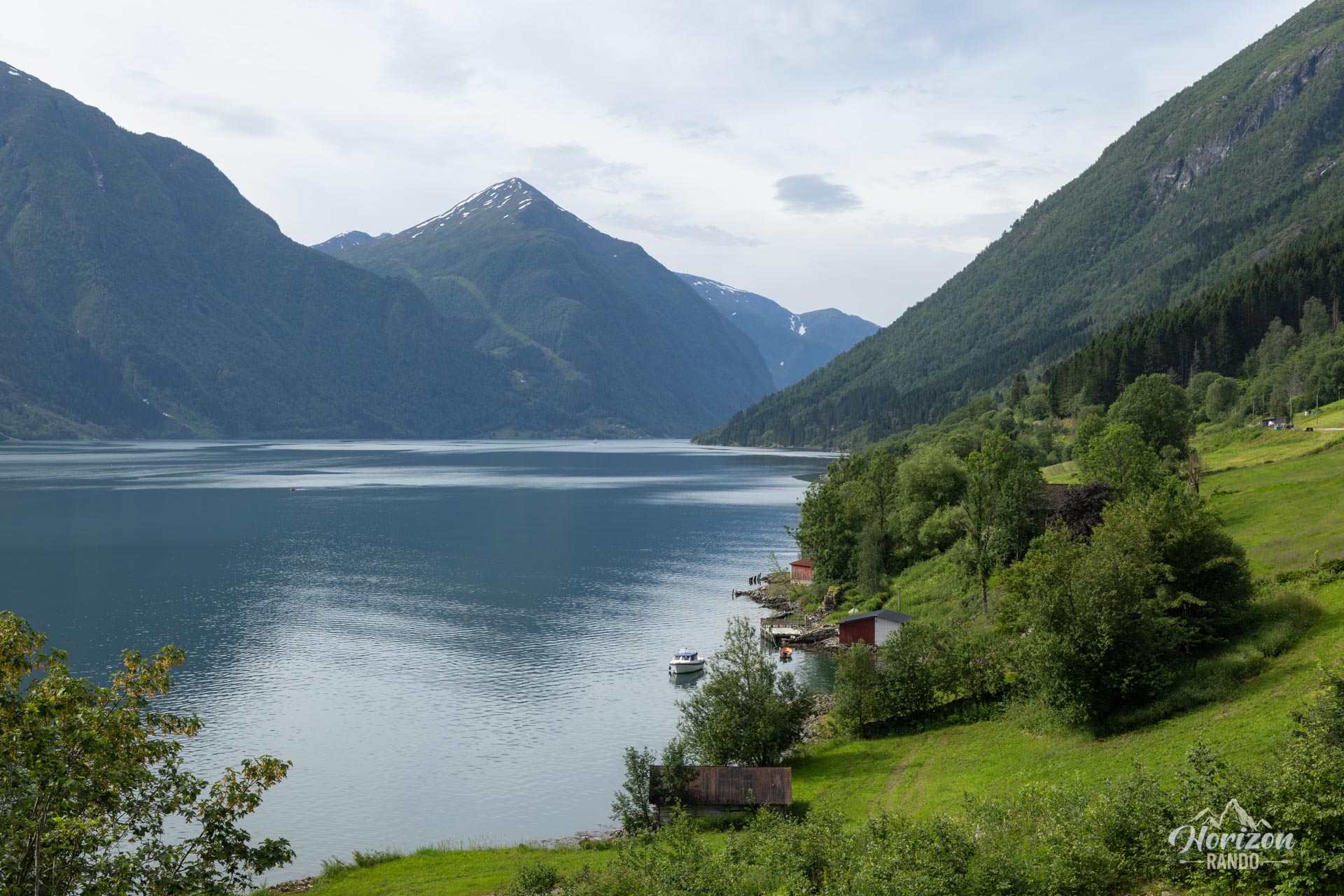


More hikes to do in Norway
Nearby hikes






















Printed from www.horizonrando.fr/en/norway/nesahaugen/