





Løsta Hike
Key facts about the hike
- Difficulty
- Easy Hikes are rated from very easy to very hard: my difficulty scale
- Duration
- 2h15 Estimated time, short breaks included (photos, water, snacks), picnic not included: how it is calculated
- Distance
- 5.5km
- out and back
- Elevation gain
- 430m
- Type of route
- Out and back
- Maximum altitude
- 510 m
- Vertiginous Five levels, depending on how exposed the route is: the levels in detail
- No
- Marked
- No
- Popularity
- Moderate
- County
- Møre og Romsdal
- Start point
- 62.09617, 7.21239
- Activity
- Hiking
Hike overview
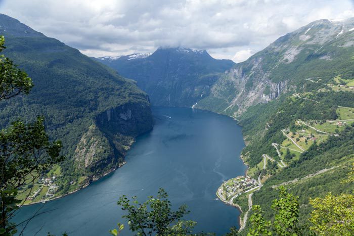
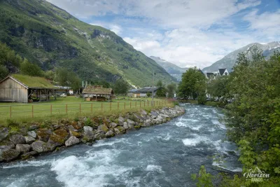
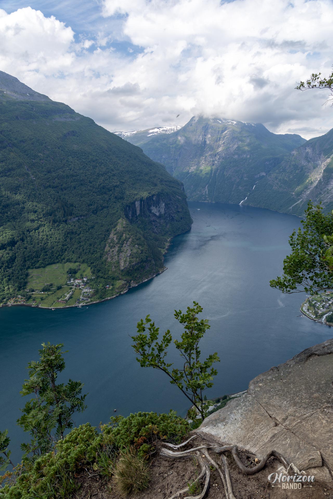
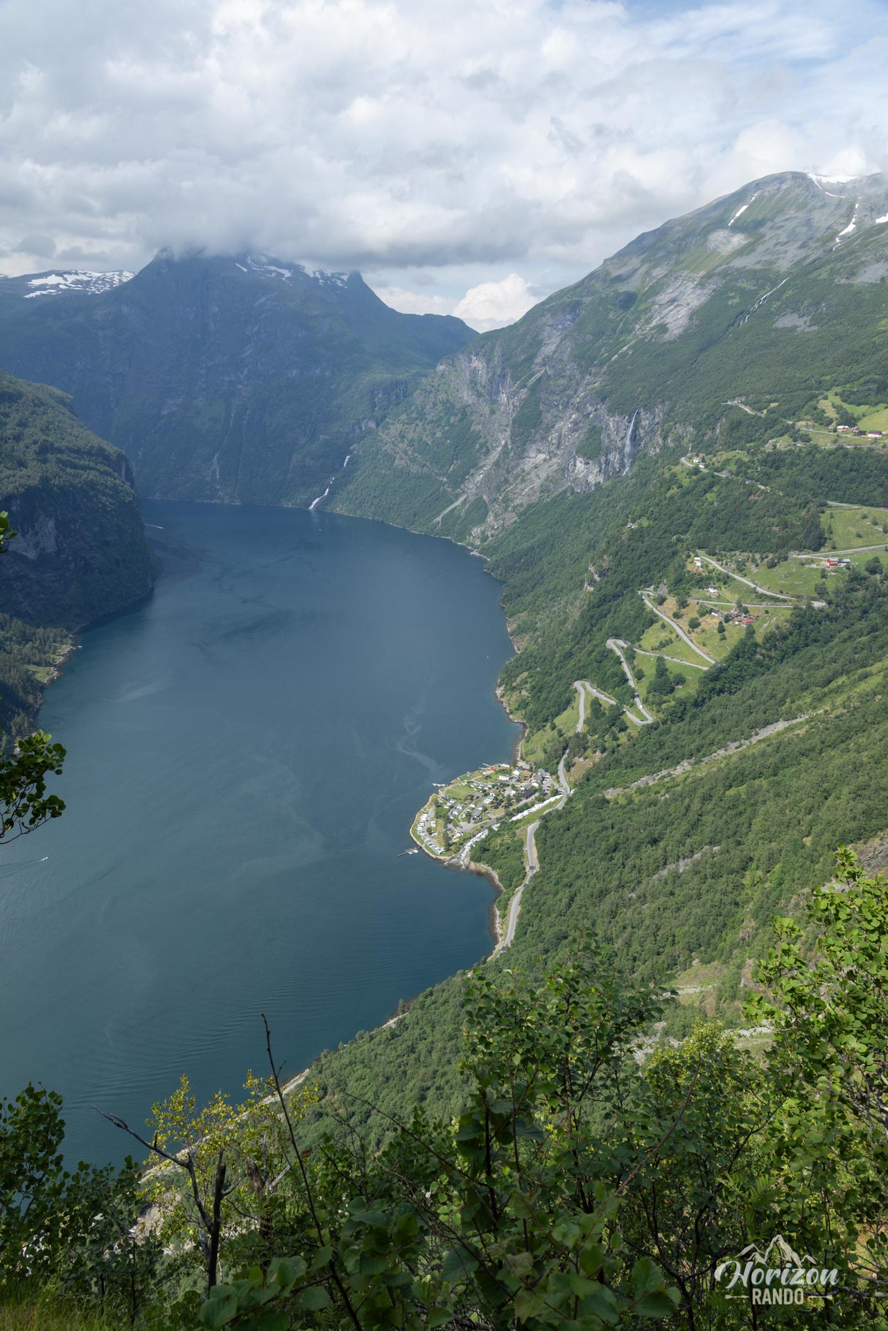
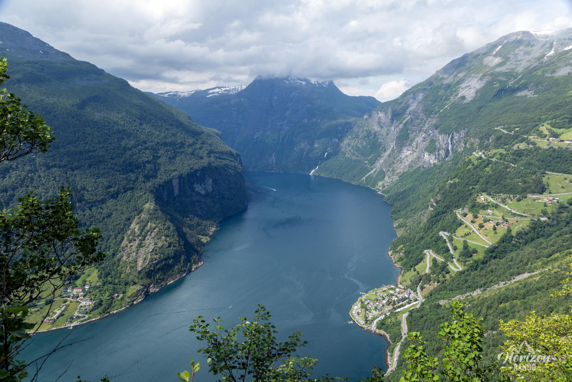
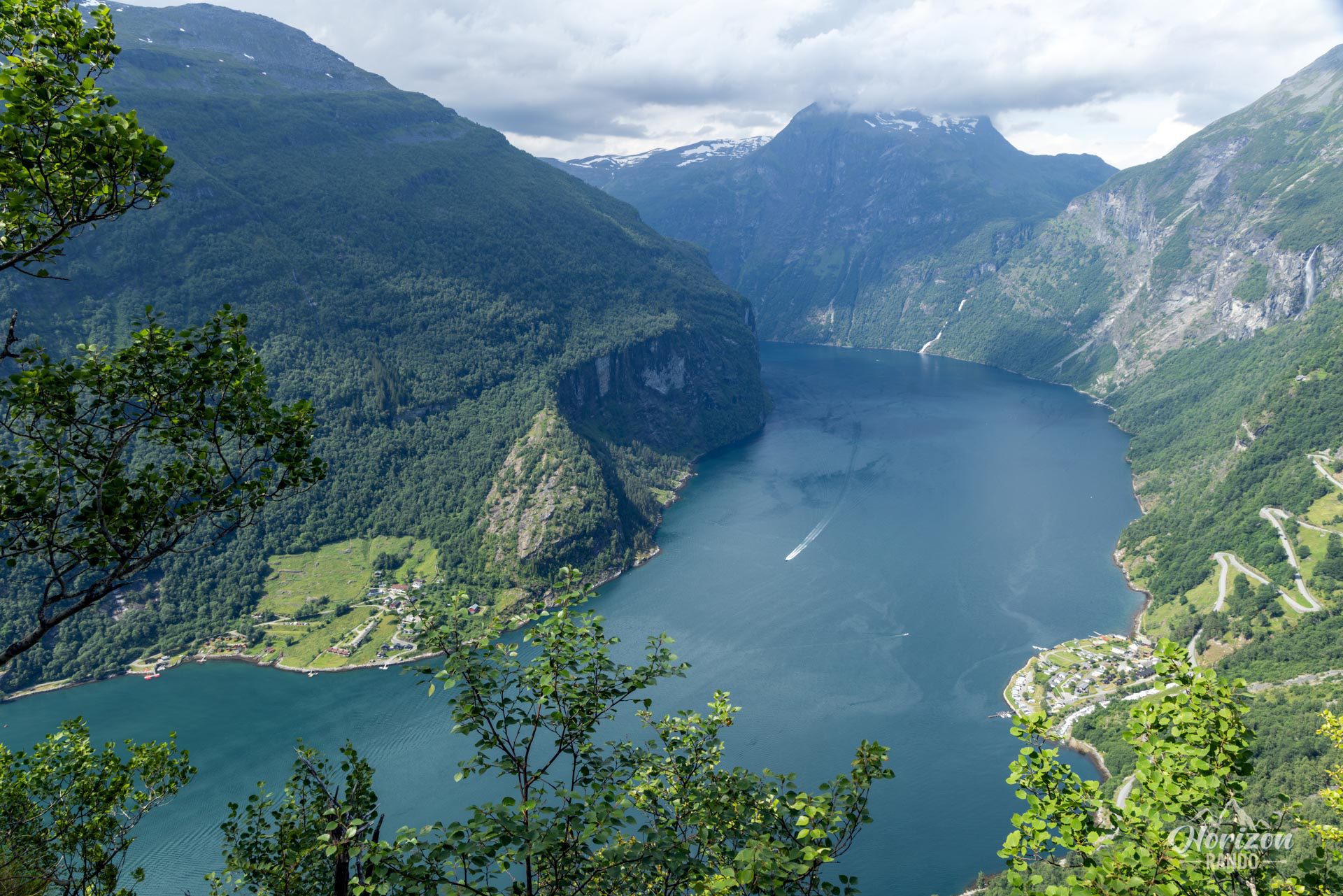
Towering over the village of Geiranger from a height of 500 meters, the Løsta promontory offers spectacular views of the Geirangerfjord, a UNESCO World Heritage Site, and the famous Ørnesvingen hairpin bends (the Eagle Road). This route is ideal for those who want to escape the hustle and bustle of Geiranger while enjoying unique fjord views. It also takes you through the picturesque setting of the traditional Vesterås farm.
Map and elevation profile of the hike
Løsta Hike
Difficulties of the hike
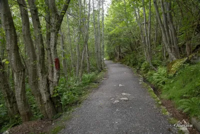
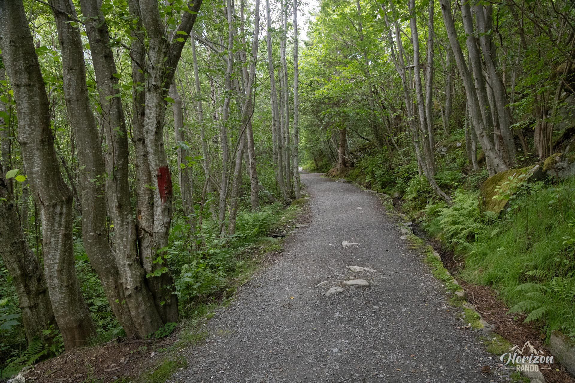
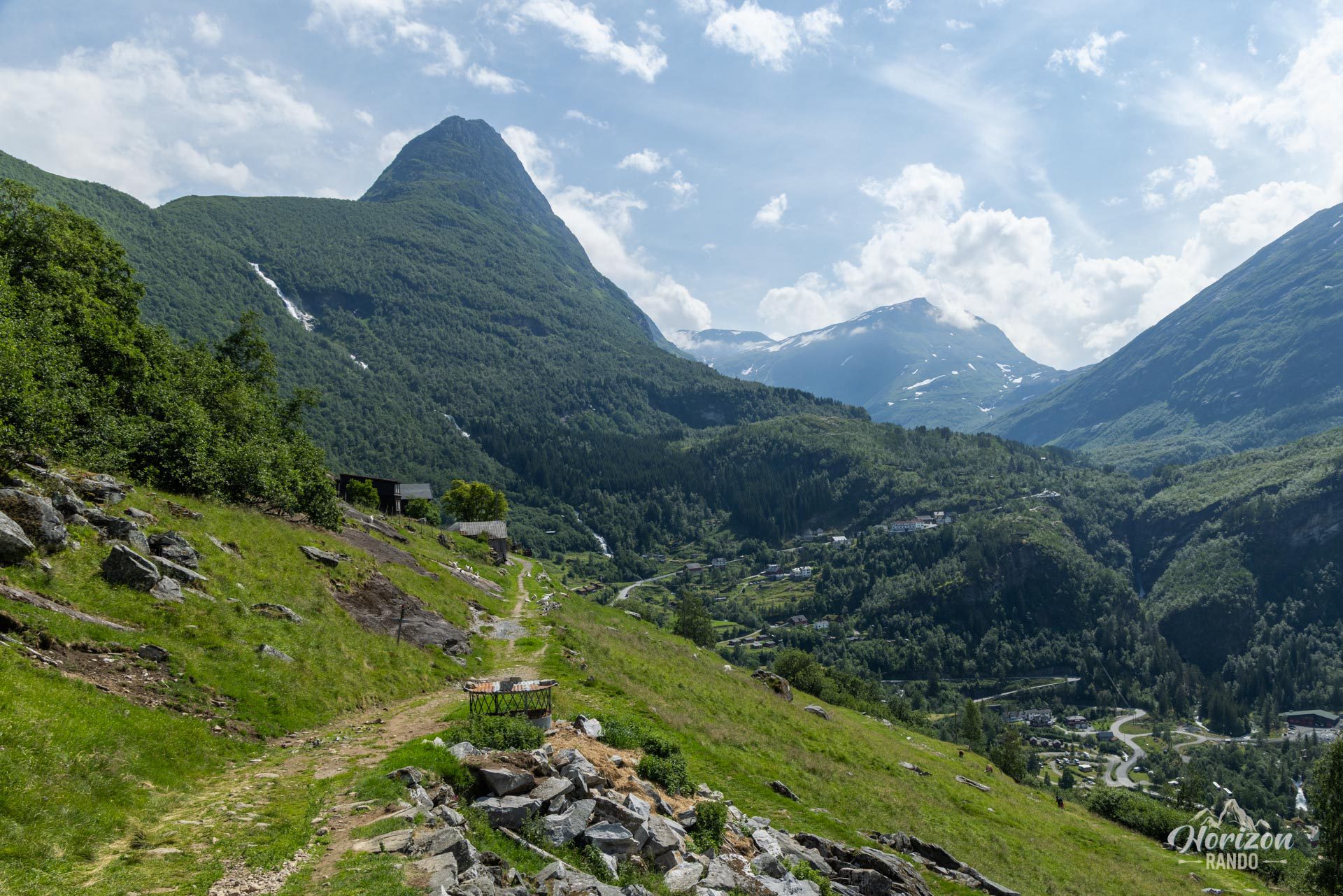
From the heights of Geiranger, the route first follows an easy and pleasant wide forest track leading to the Vesterås farm. Then, it turns into a classic, clearly defined, well-maintained mountain trail that gradually climbs to the Løsta viewpoint. The hike is not technically difficult and requires only moderate effort, making it accessible to a wide audience.
However, it's important to note that the trail is not marked, and directional signs only appear in the final third of the hike.
What you'll love
- The unique panoramic views of the Geirangerfjord, the village of Geiranger, and the impressive hairpin bends of the Eagle Road (Ørnevegen).
- The peaceful atmosphere, far from the tourist hustle and bustle of Geiranger town center, is ideal for contemplating the grandeur of the fjord in complete tranquility.
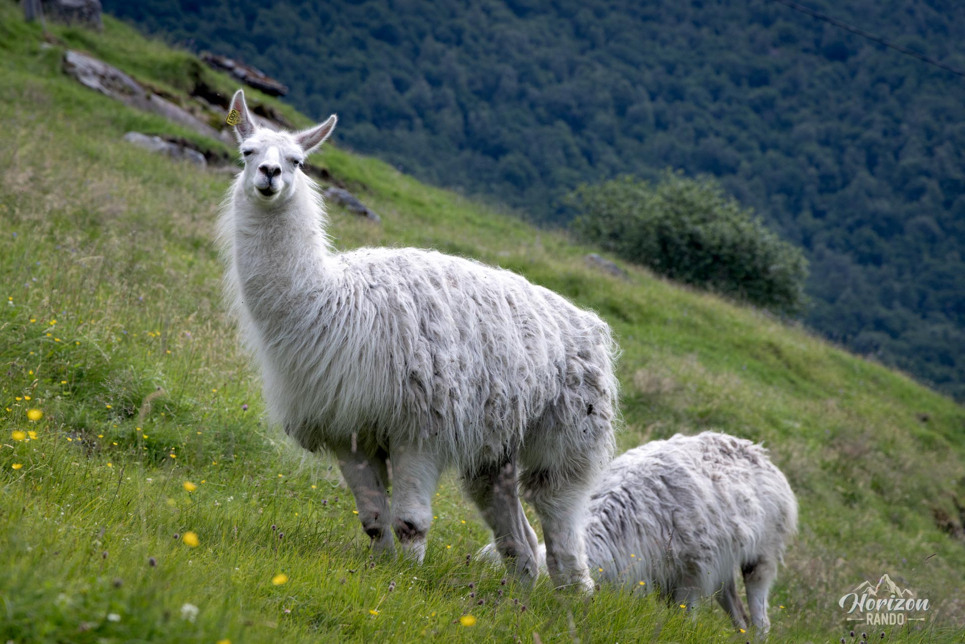
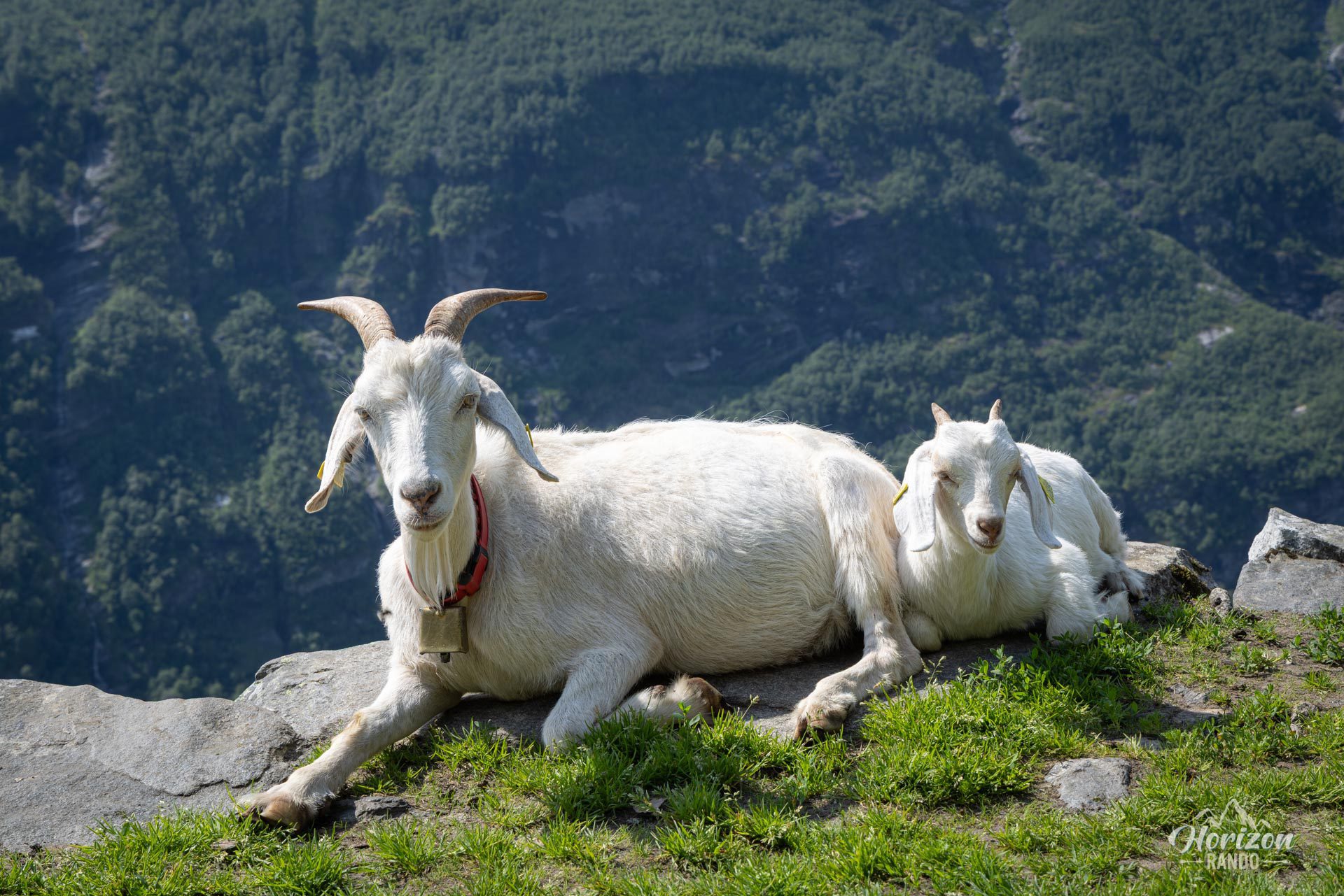
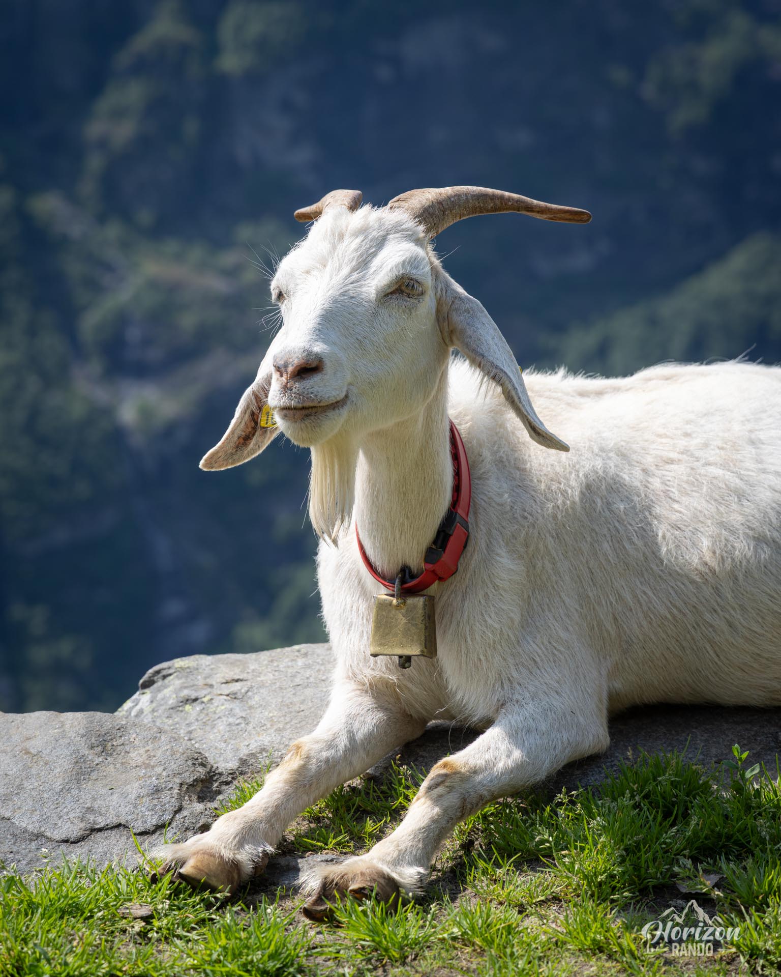
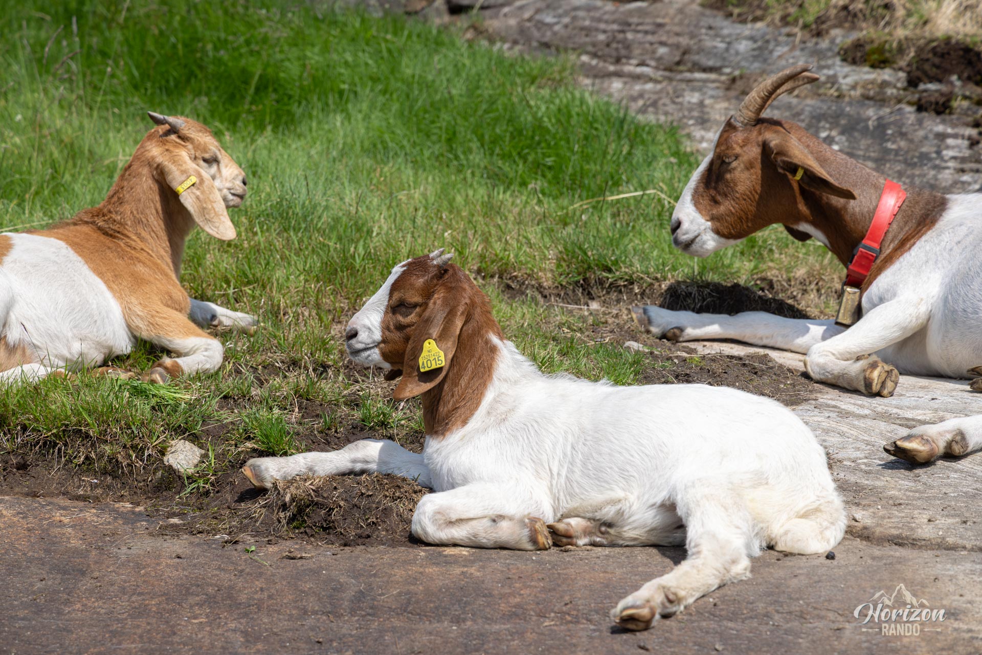
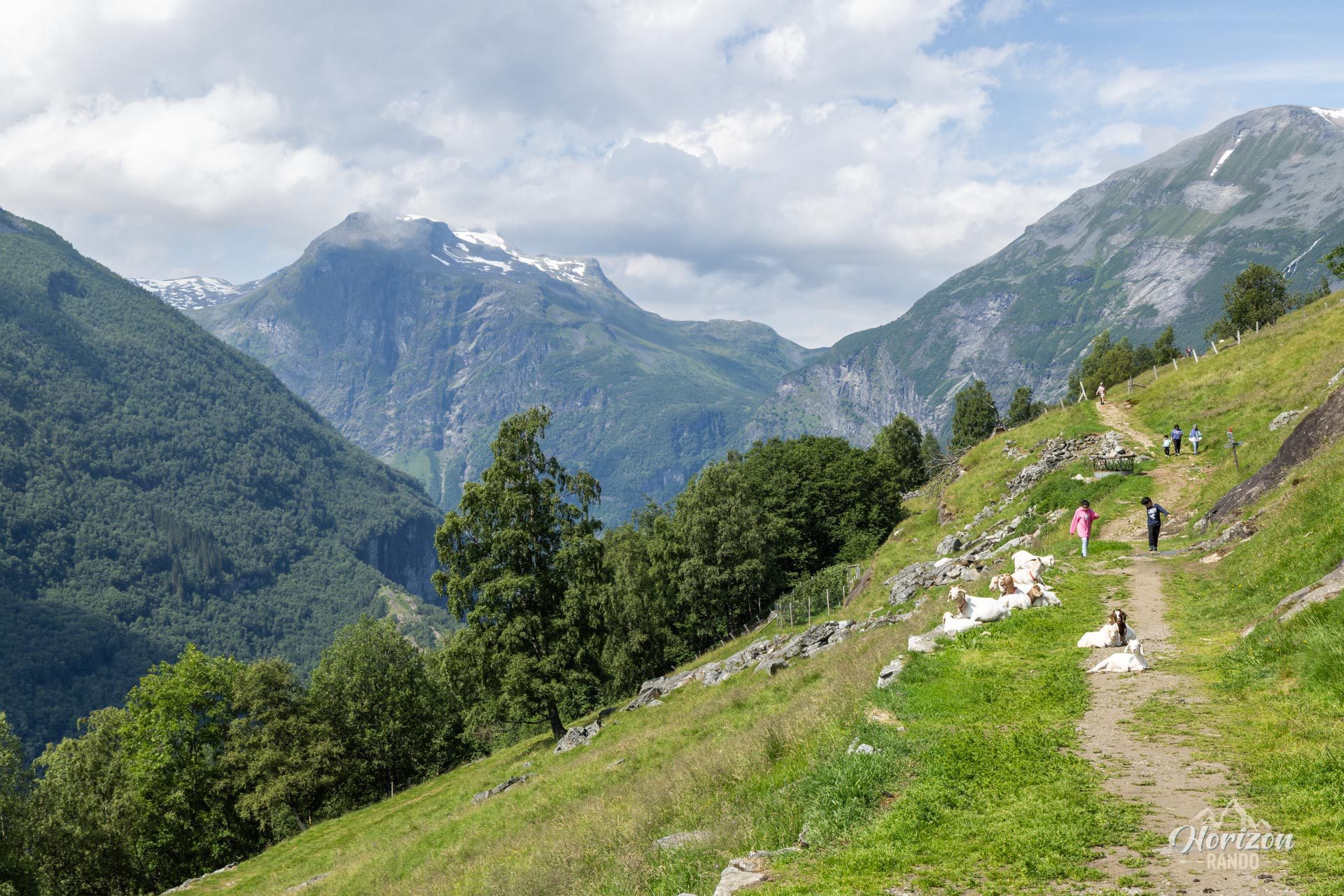
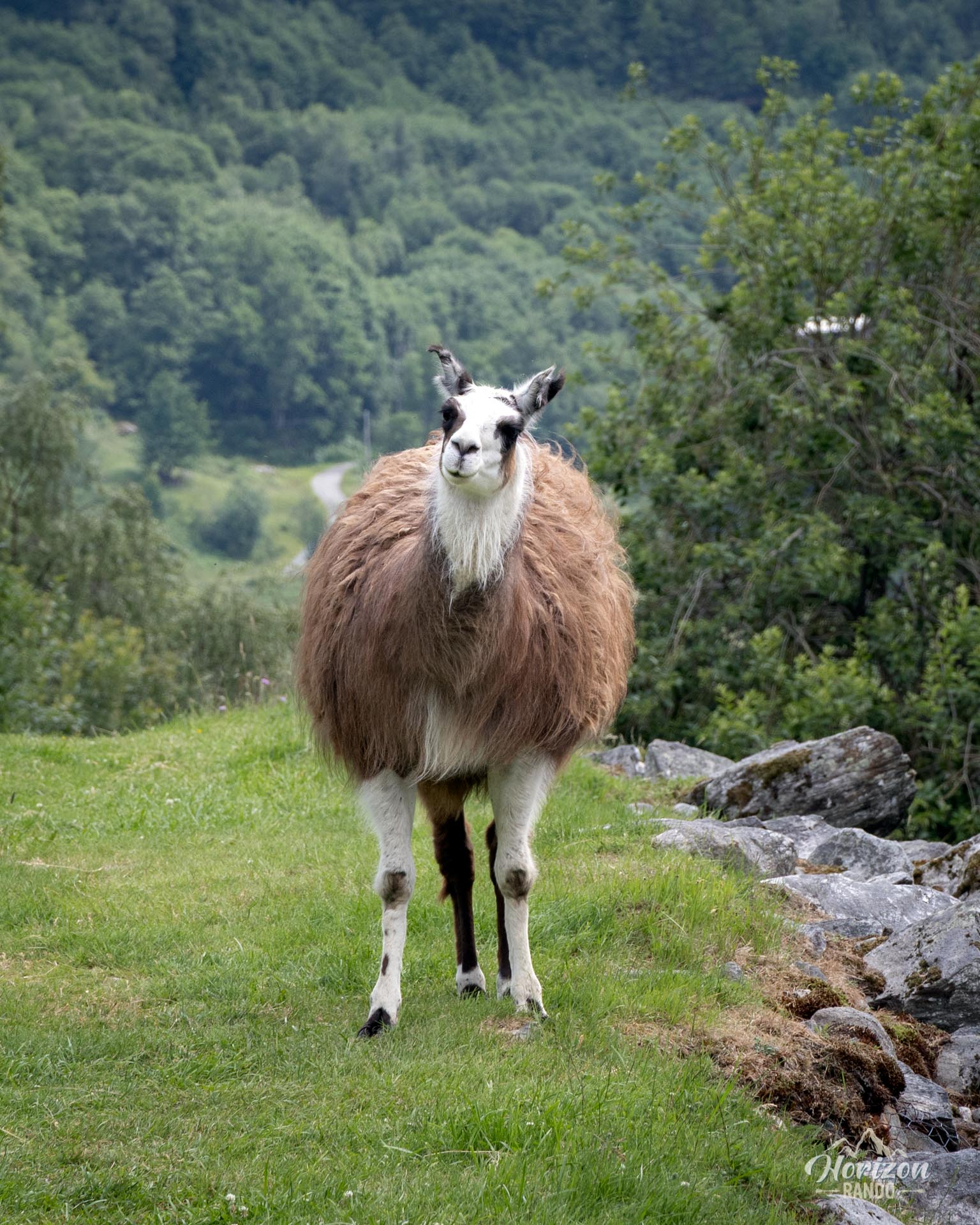
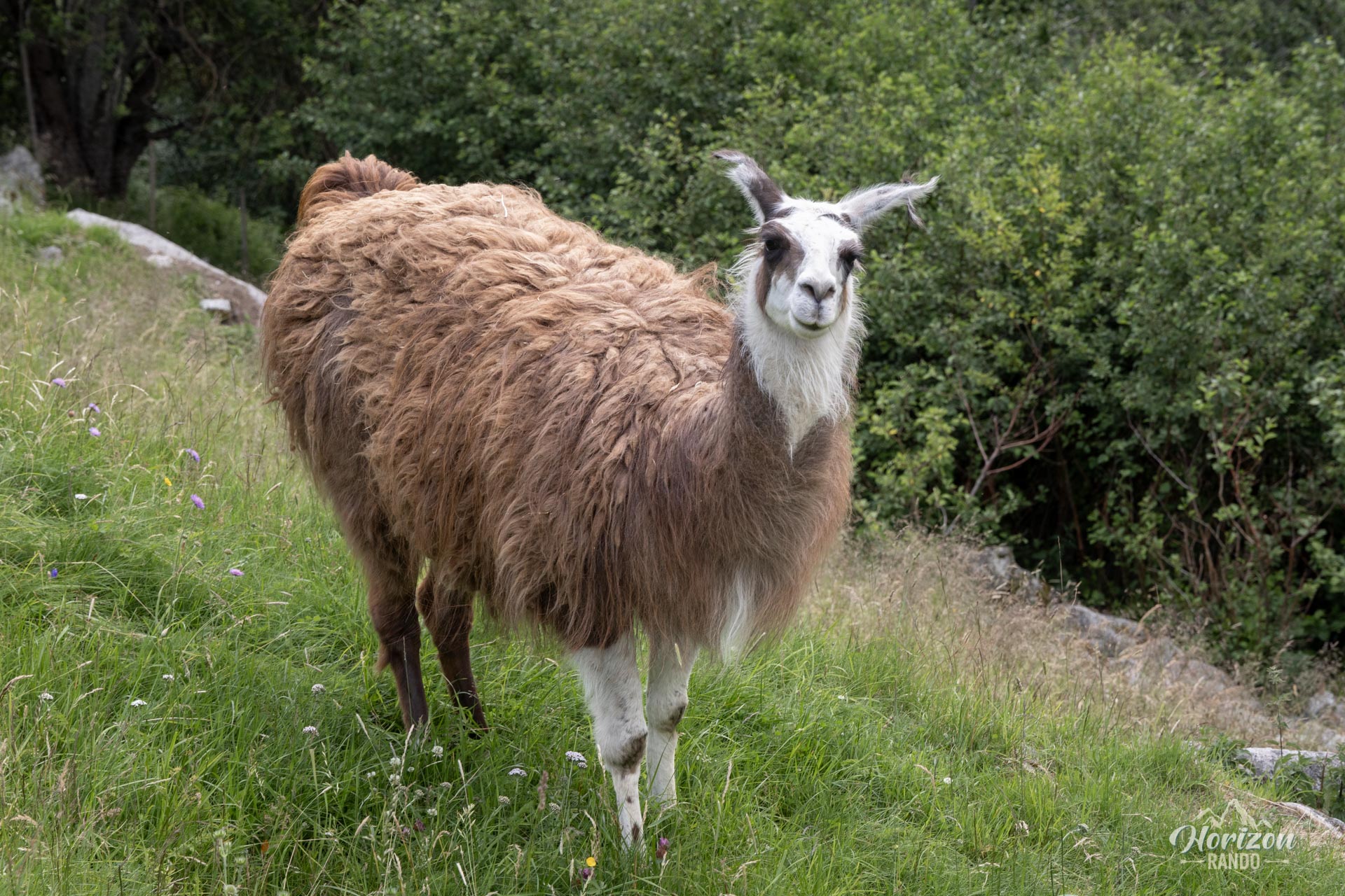
- The charm of the Vesterås farm, a bucolic stopover where you may encounter sheep, goats, and even adorable llamas.
Practical information
Departure
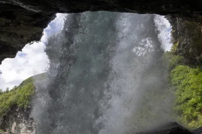
The hike starts from the heights of Geiranger, where several parking lots are available. You can also start directly at the Vesterås farm (GPS coordinates: 62.10088, 7.21649), which cuts the elevation gain and distance in half. This option makes it easy to combine the hike with one to the Storsæterfossen waterfall.
Best time to go
From May to October, on average. See the Norway FAQ for more details.
Please note
The route mainly passes through wooded areas, which limits the views. Even at the Løsta viewpoint, the view is only partial, with an open angle of approximately 120°.
Photos
See all 14 photos →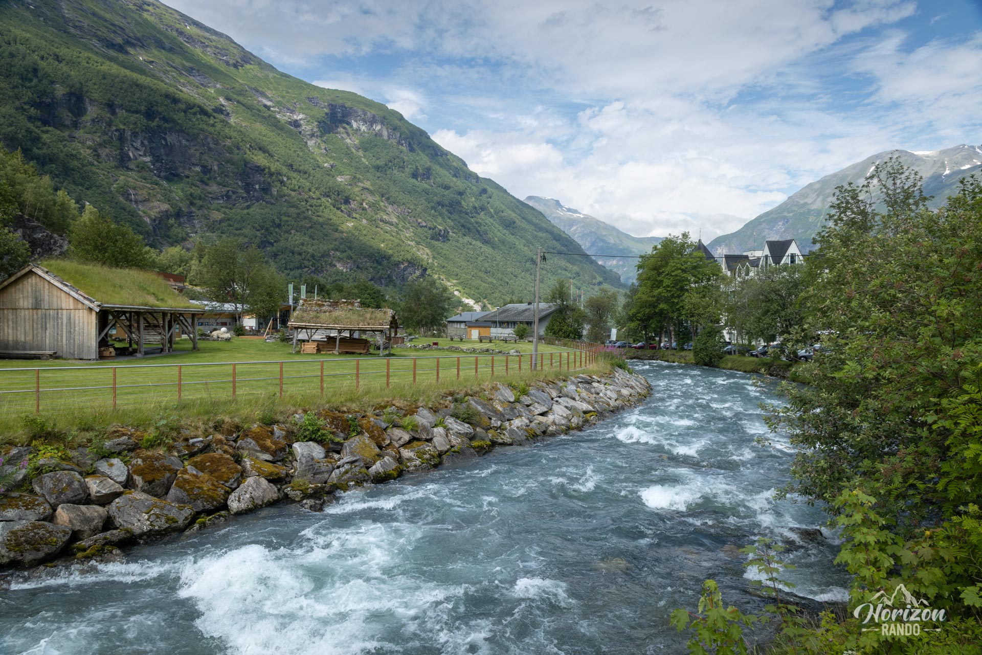
More hikes to do in Norway
Nearby hikes


























Printed from www.horizonrando.fr/en/norway/losta/