





Jordalsnuten Hike
Key facts about the hike
- Difficulty
- Moderate Hikes are rated from very easy to very hard: my difficulty scale
- Duration
- 4h30 Estimated time, short breaks included (photos, water, snacks), picnic not included: how it is calculated
- Distance
- 9.5km
- out and back
- Elevation gain
- 850m
- Type of route
- Out and back
- Maximum altitude
- 1,043 m
- Vertiginous Five levels, depending on how exposed the route is: the levels in detail
- No
- Marked
- No
- Popularity
- Low
- County
- Vestland
- Start point
- 60.02955, 6.53886
- Activity
- Hiking
Hike overview
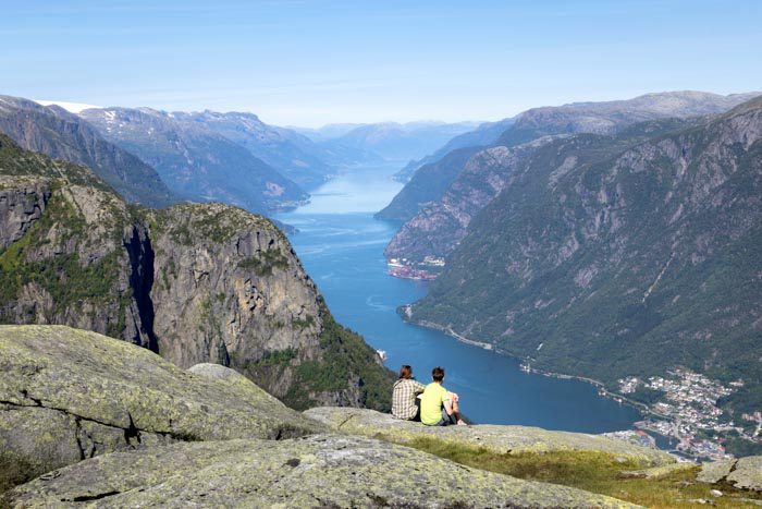
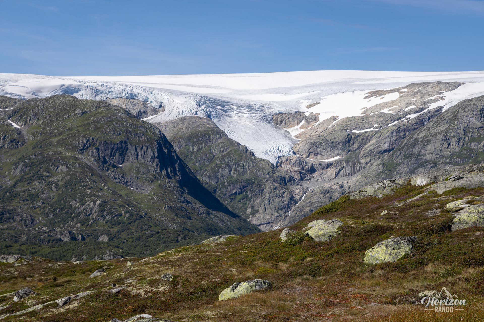
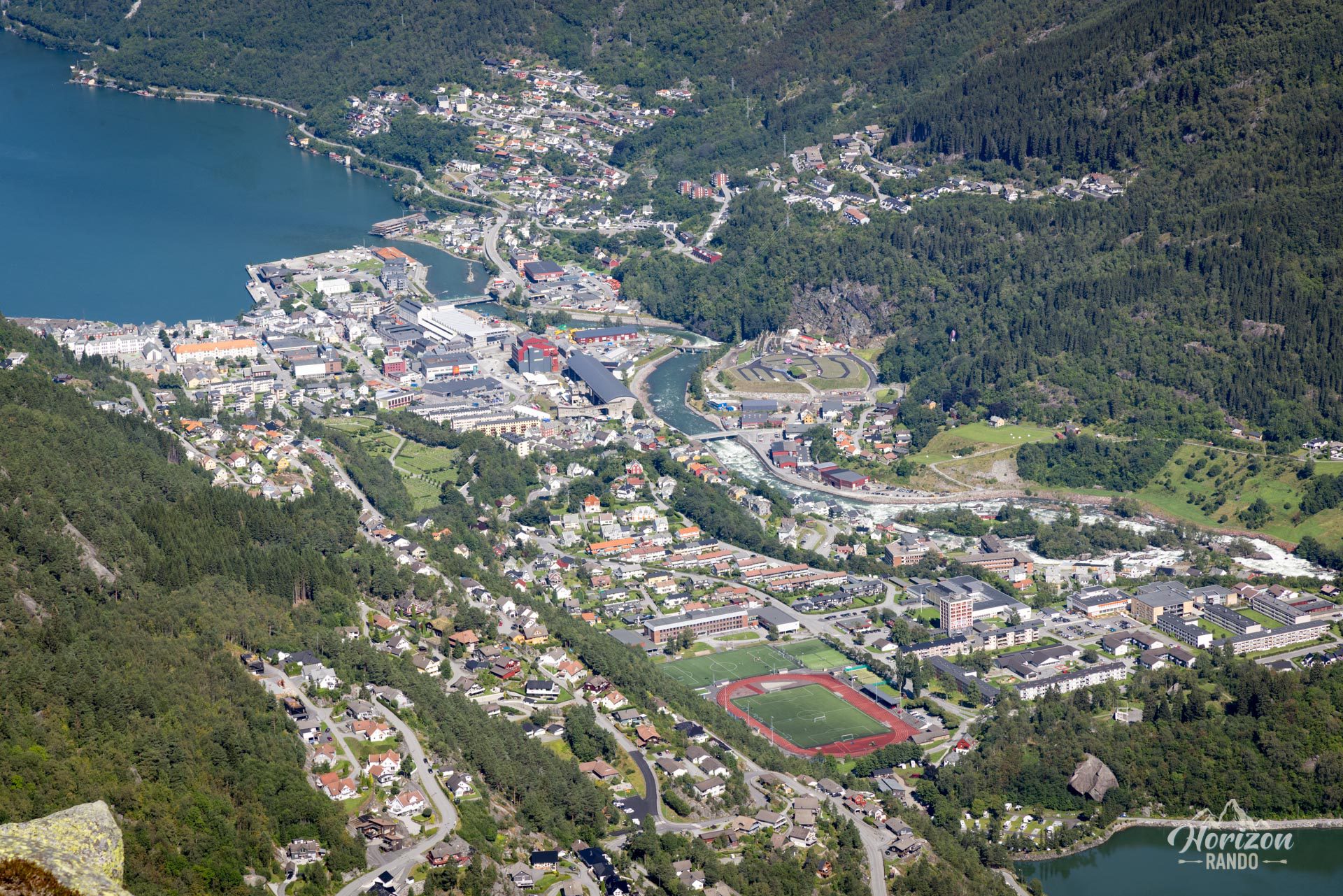
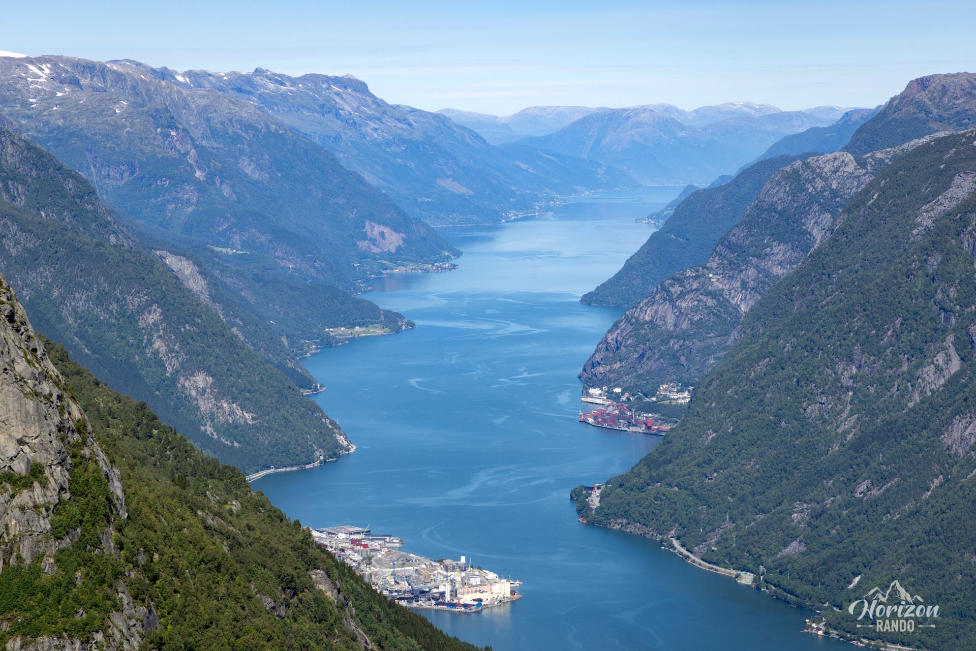
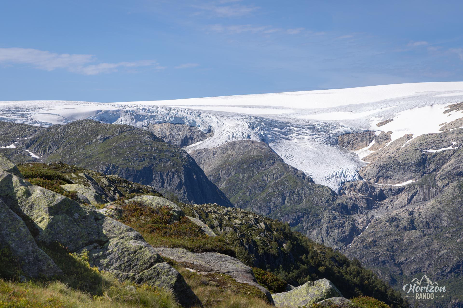
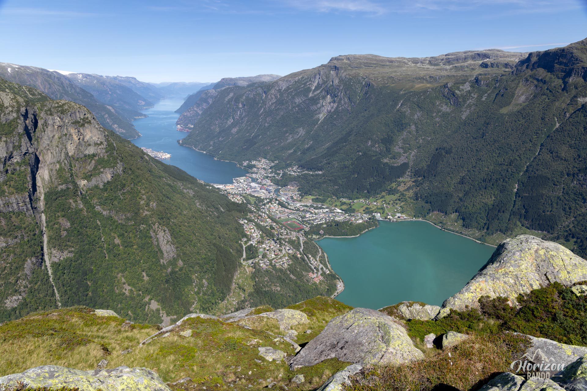
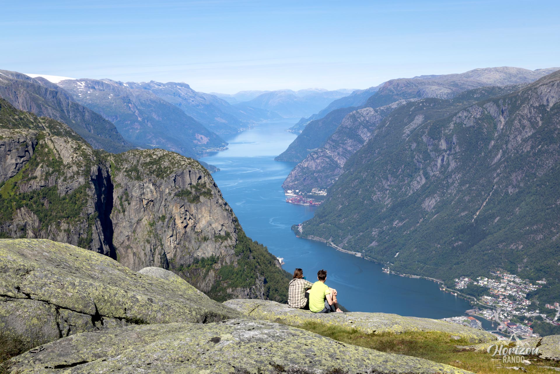
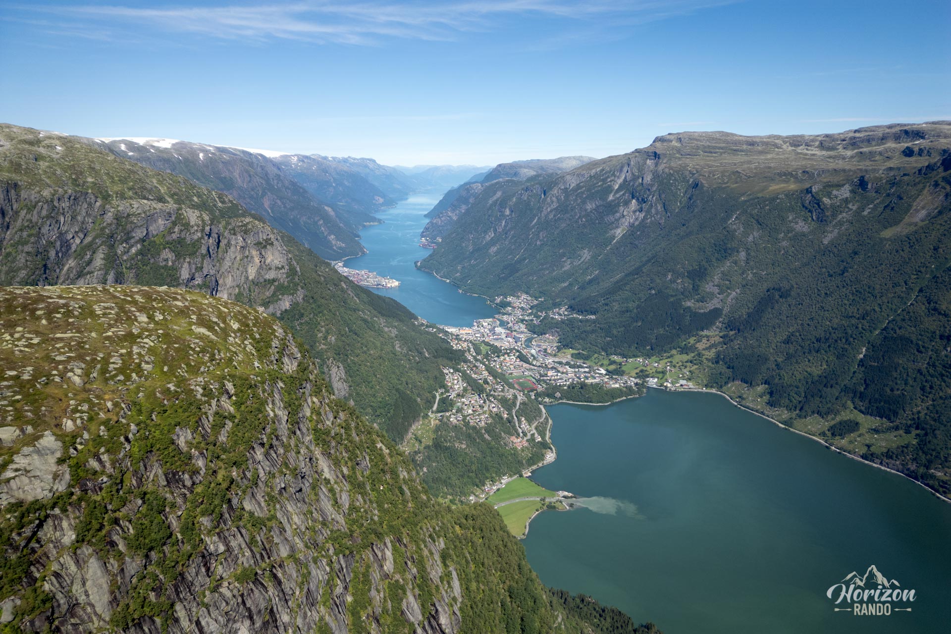
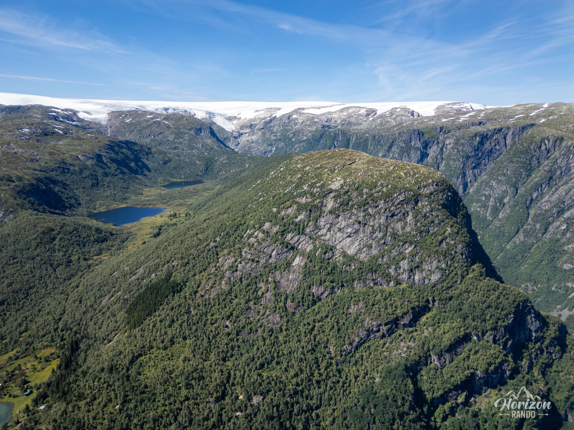
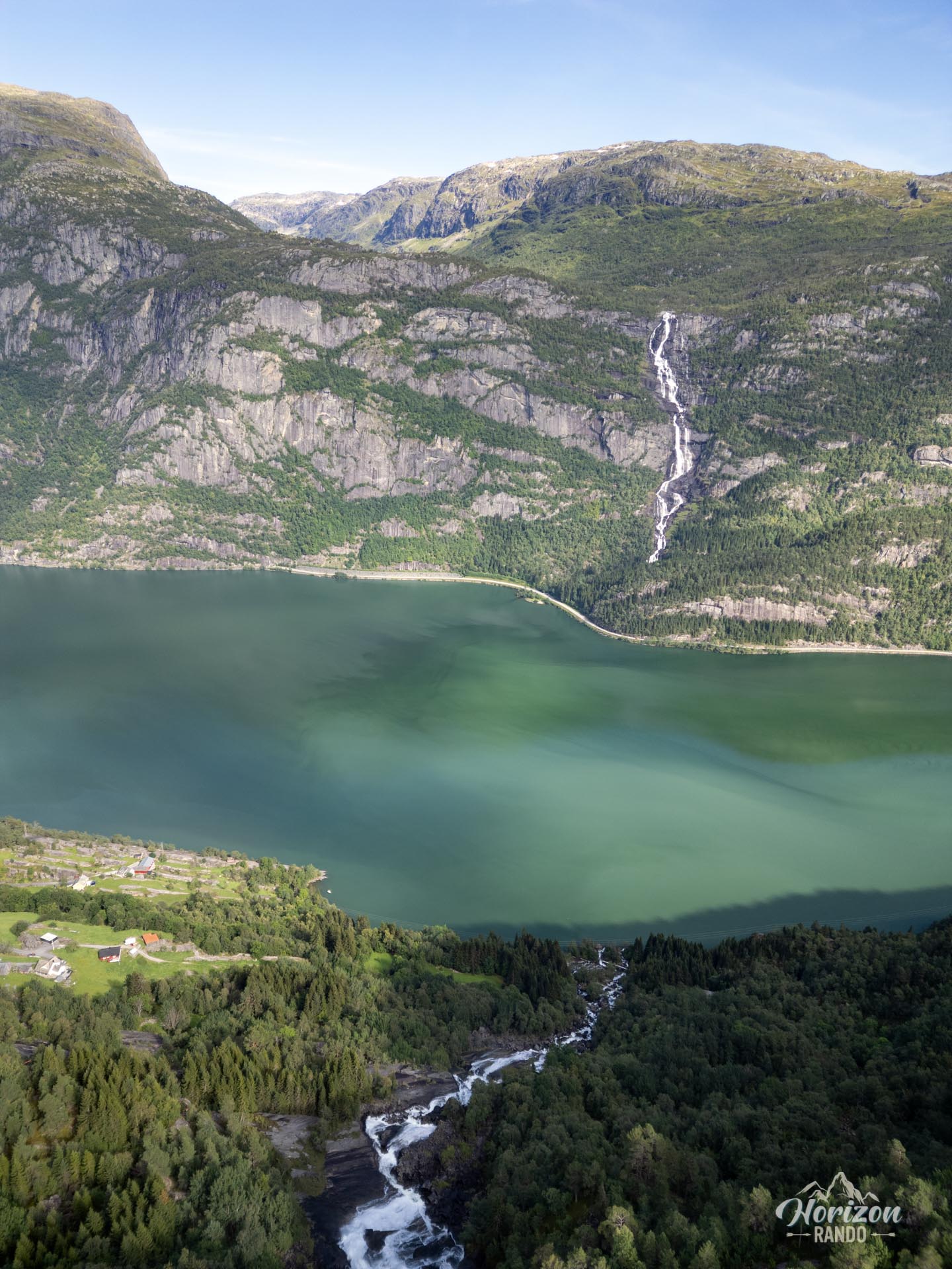
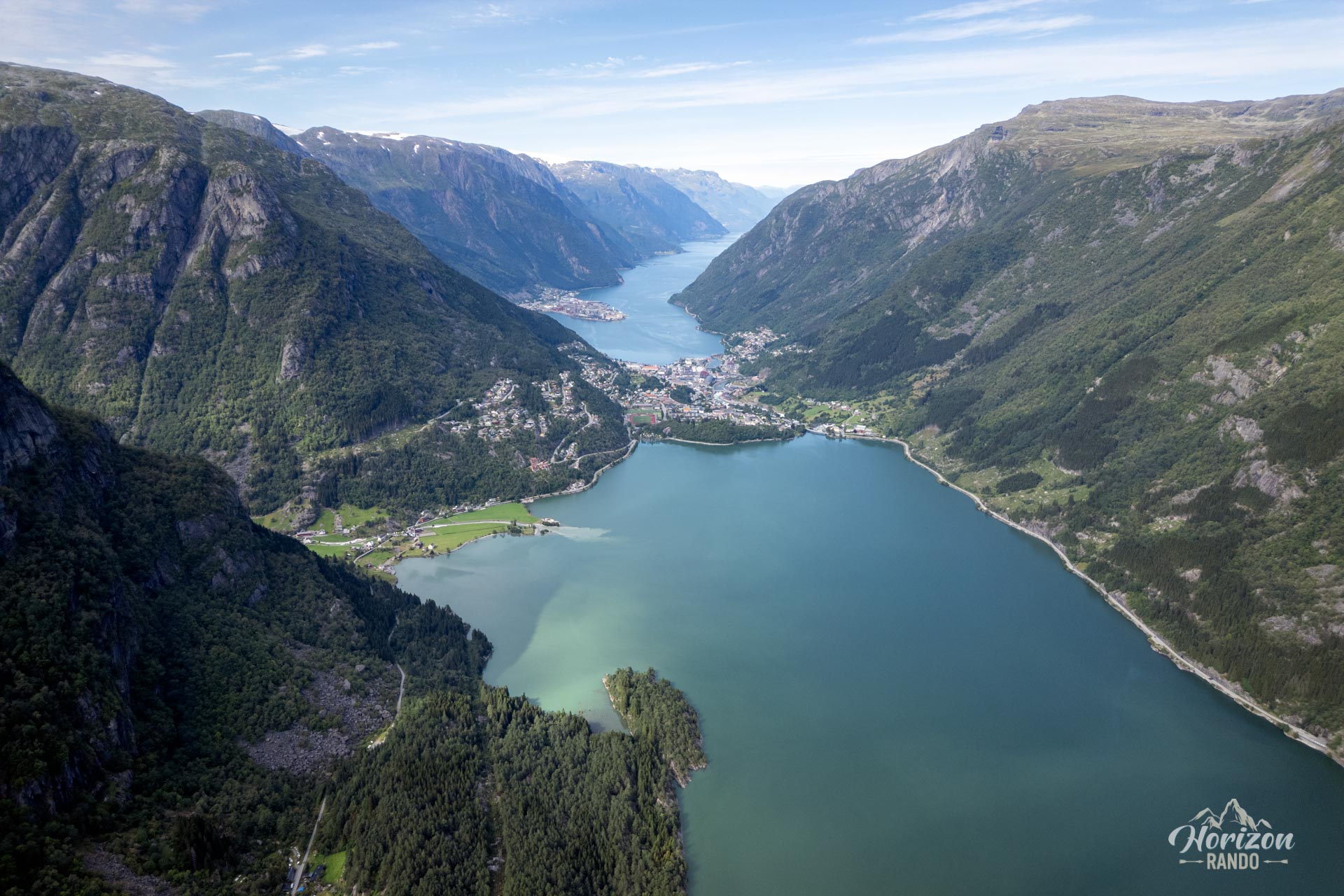
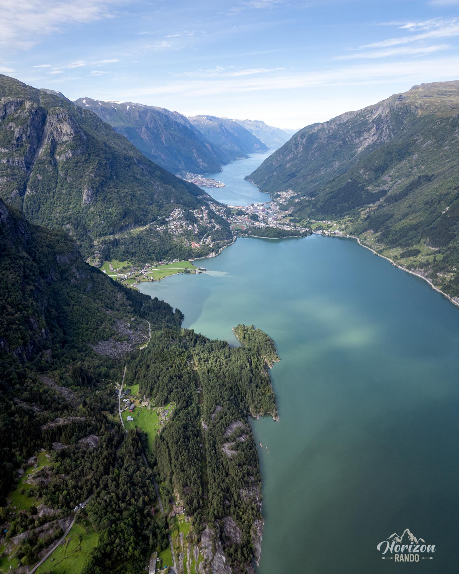
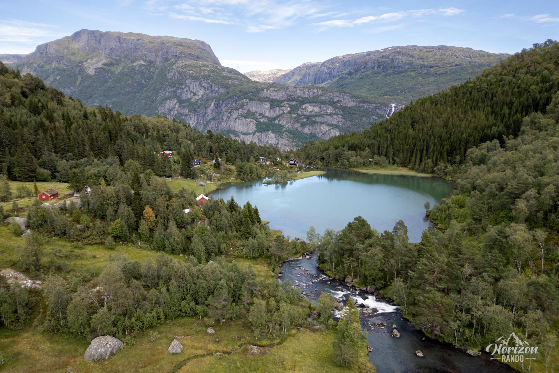
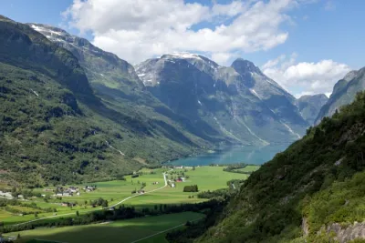
Take a spectacular hike to Jordalsnuten, located near Odda in the heart of Norway's magnificent Hardangerfjord region. From the 1,043-meter peak, take in the breathtaking panorama: a 360° view of the fjord, the Buarbreen glacier, and the surrounding mountains.
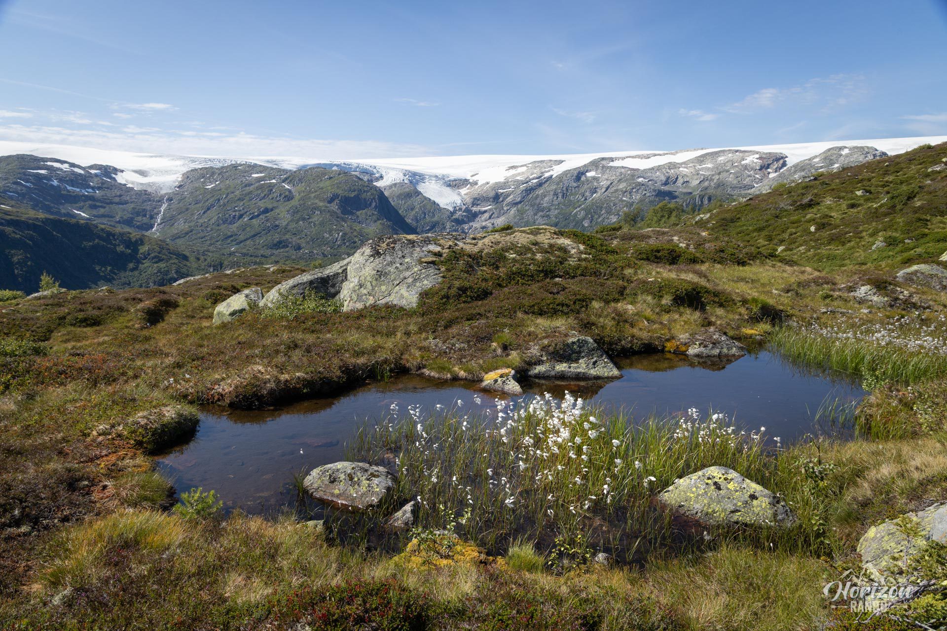
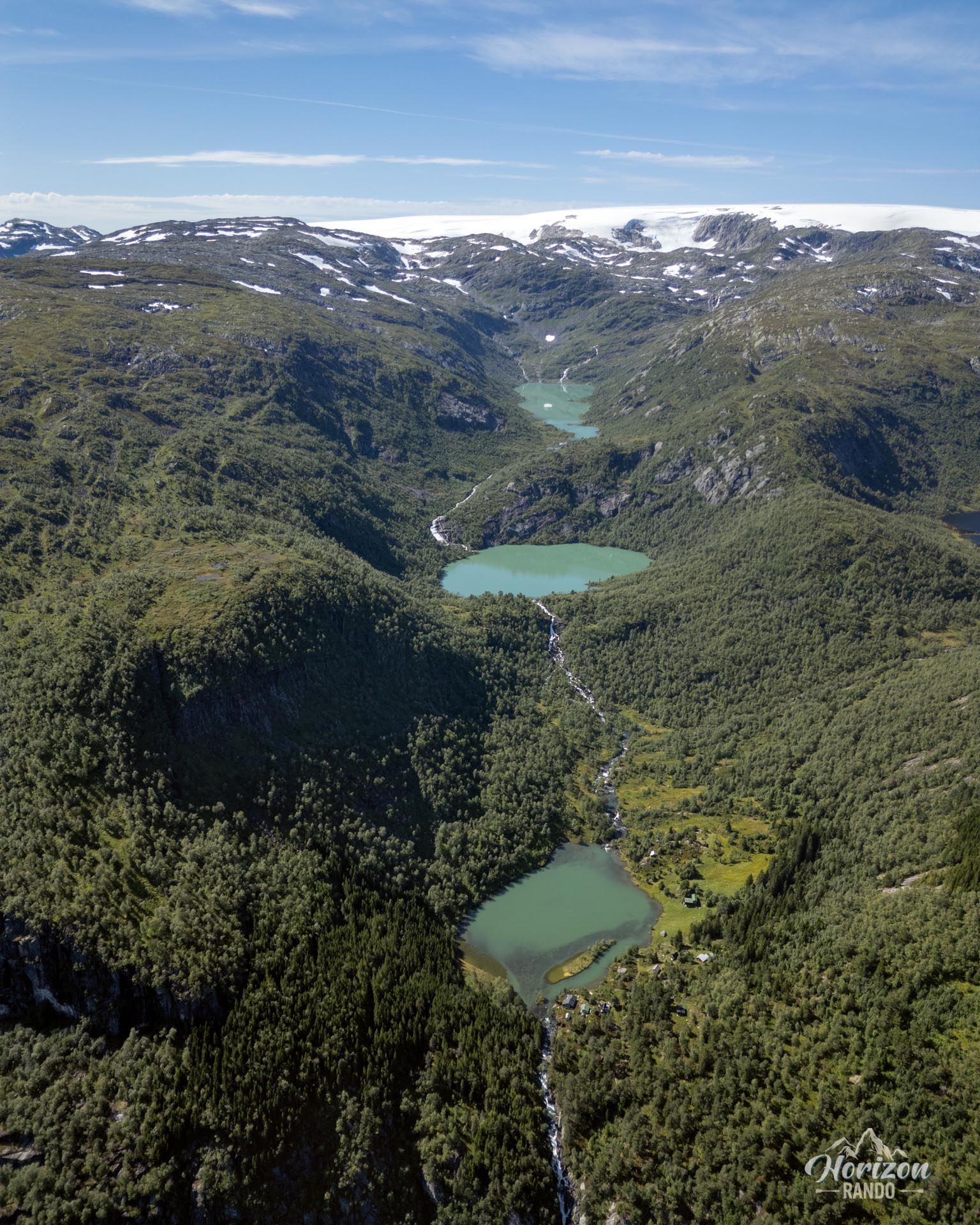
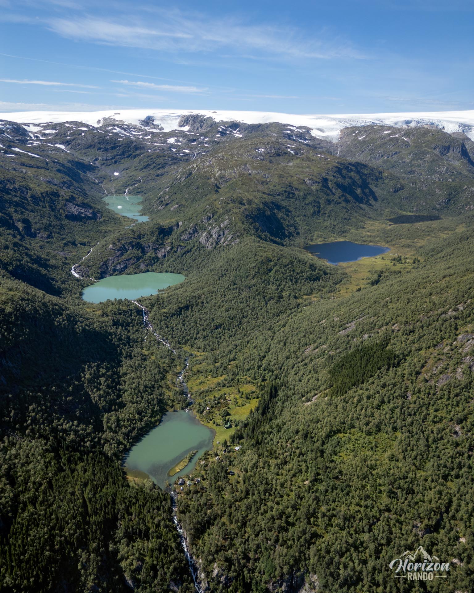
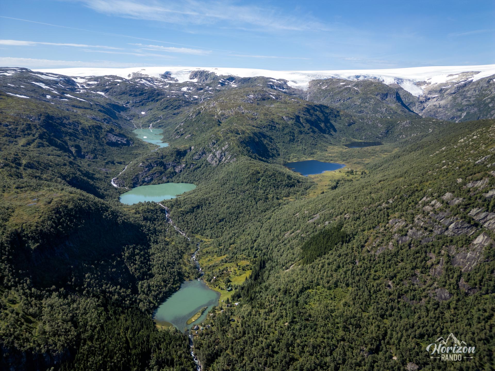
This route was one of my favorites. It showcases the diverse beauty of the Norwegian landscape with high-altitude lakes, waterfalls, fjords, rugged mountains, forests, and a glacier in the background. The most surprising thing? This marvel remains little known and uncrowded, even though it is only a few kilometers from the famous—perhaps too famous—Trolltunga hike. My advice: Go to Jordalsnuten without hesitation! It's much less crowded, more accessible, free, and more varied. It's wild Norway in all its glory!
Map and elevation profile of the hike
Jordalsnuten Hike
Difficulties of the hike
The route is moderately difficult, with an elevation gain of 850 meters over a 9-kilometer round-trip distance. There are no significant technical challenges, except for a few steeper sections at the start of the climb.
You will walk on a generally well-defined but unmarked trail. Apart from a single sign indicating the direction to the summit at the second lake, there are no other signs along the way. Don't worry, though; there are very few junctions. For added safety, we strongly recommend downloading the GPX track or studying the map beforehand.
What you'll love
- Breathtaking views from the summit: the Hardangerfjord, the Folgefonna glacier (with its Buarbreen glacier tongue), Lake Sandvinsvatnet, and a myriad of spectacular peaks.
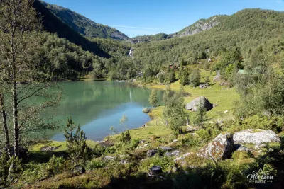
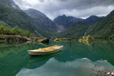
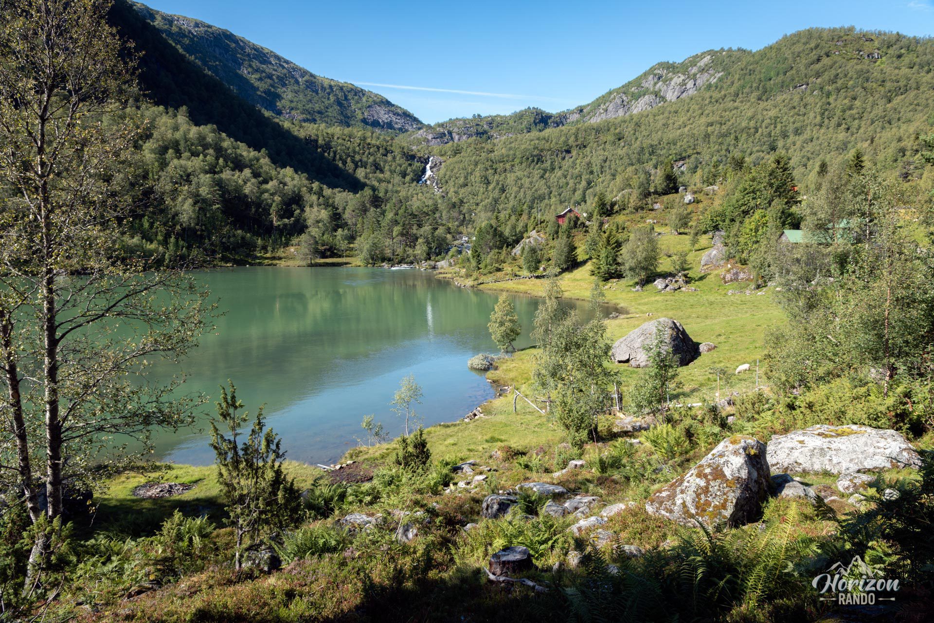
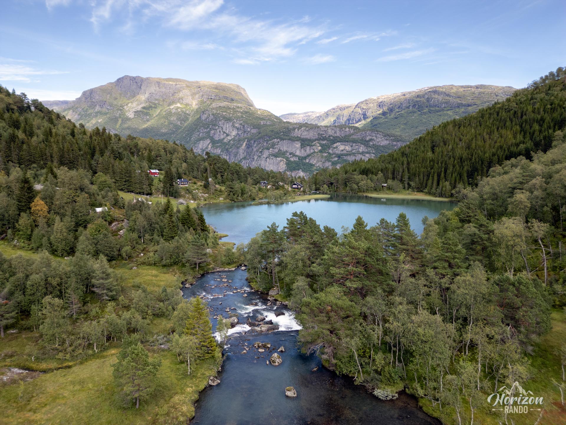
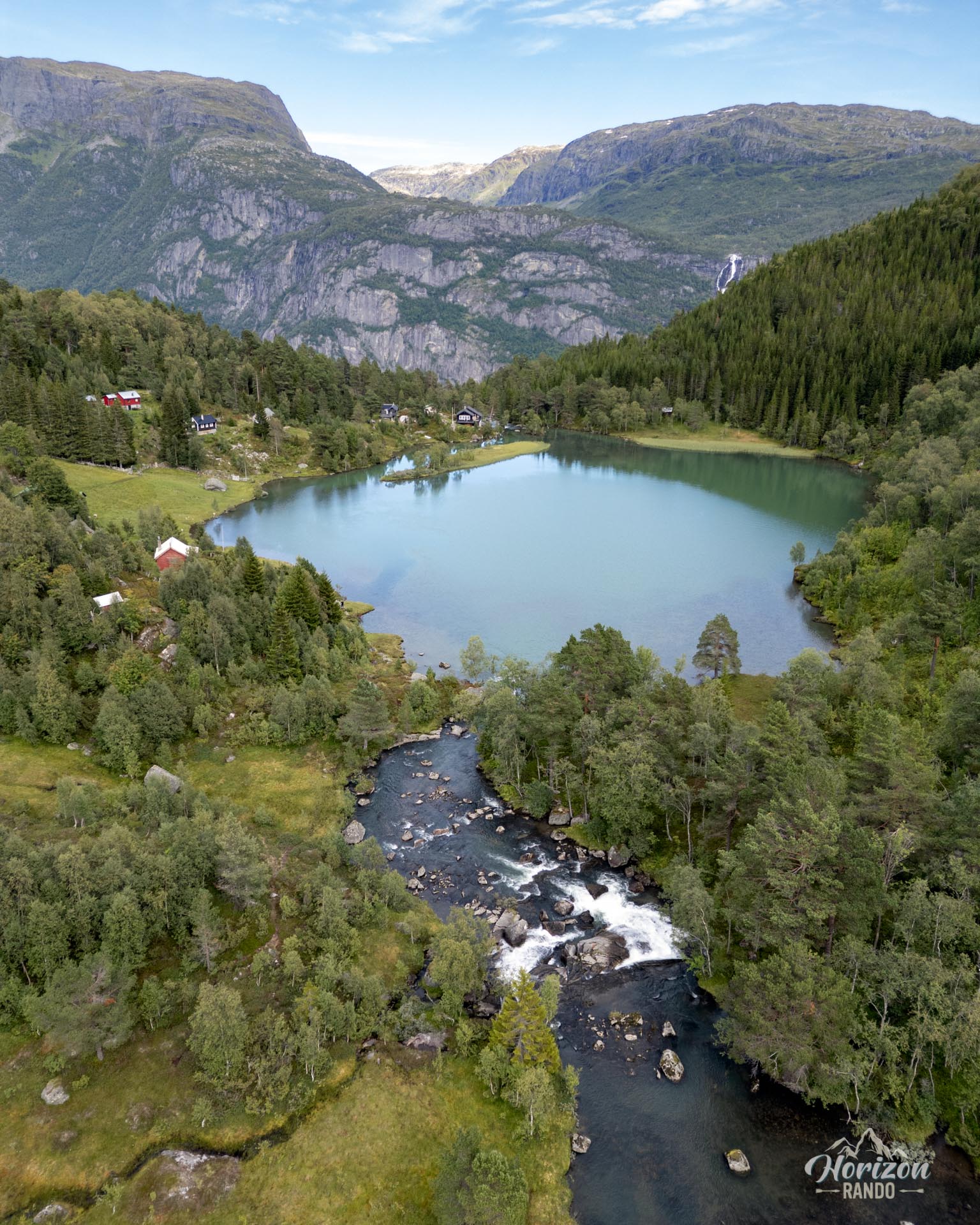
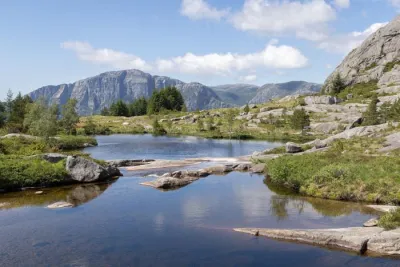
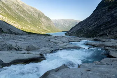
- The beauty of the high-altitude lakes (Fossasete, Liasete) that punctuate the ascent, offering contemplative and refreshing breaks.
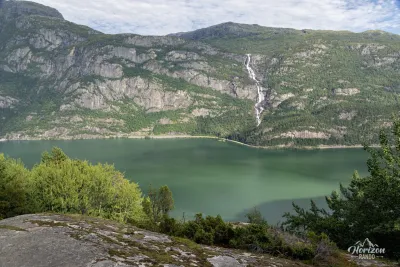
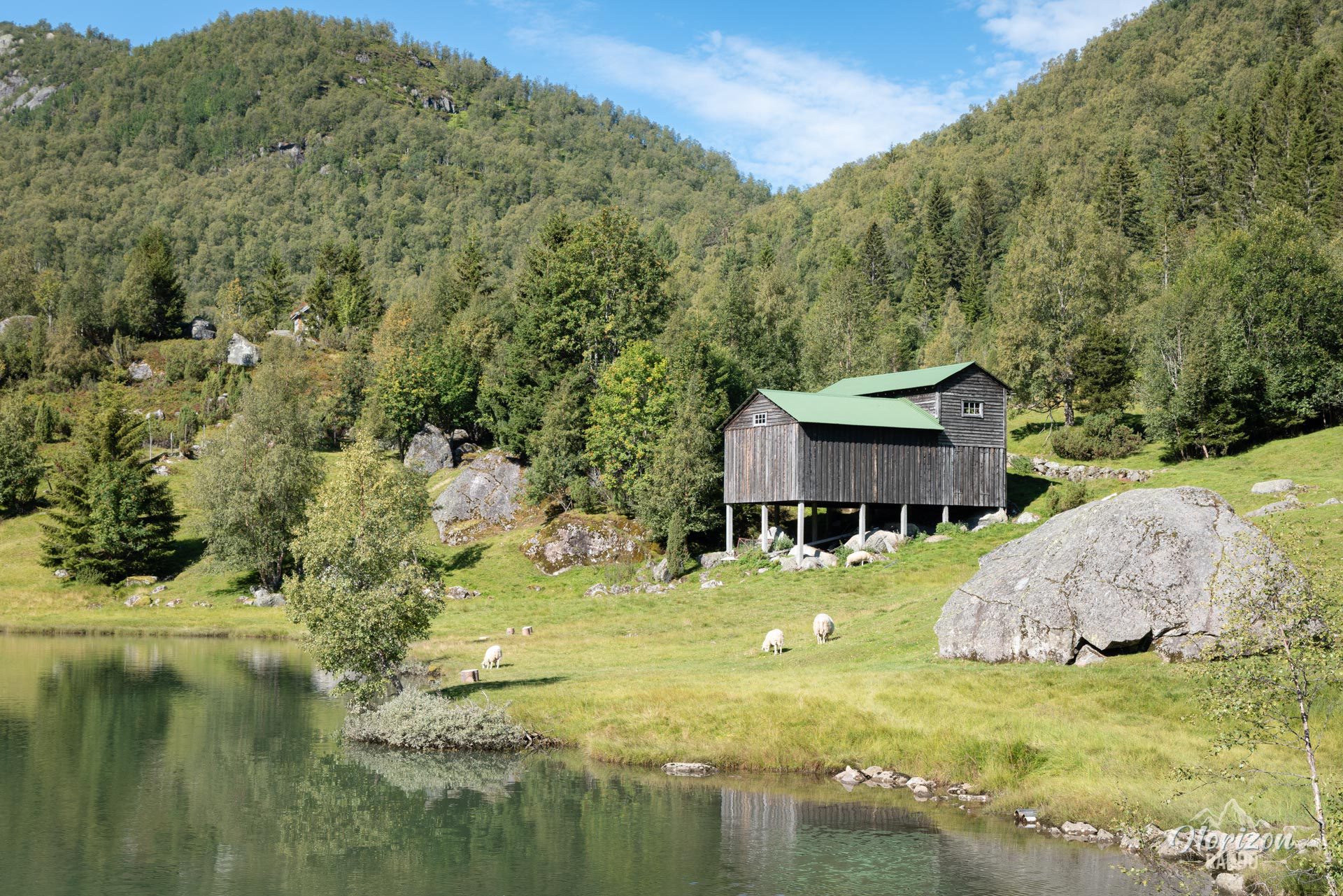
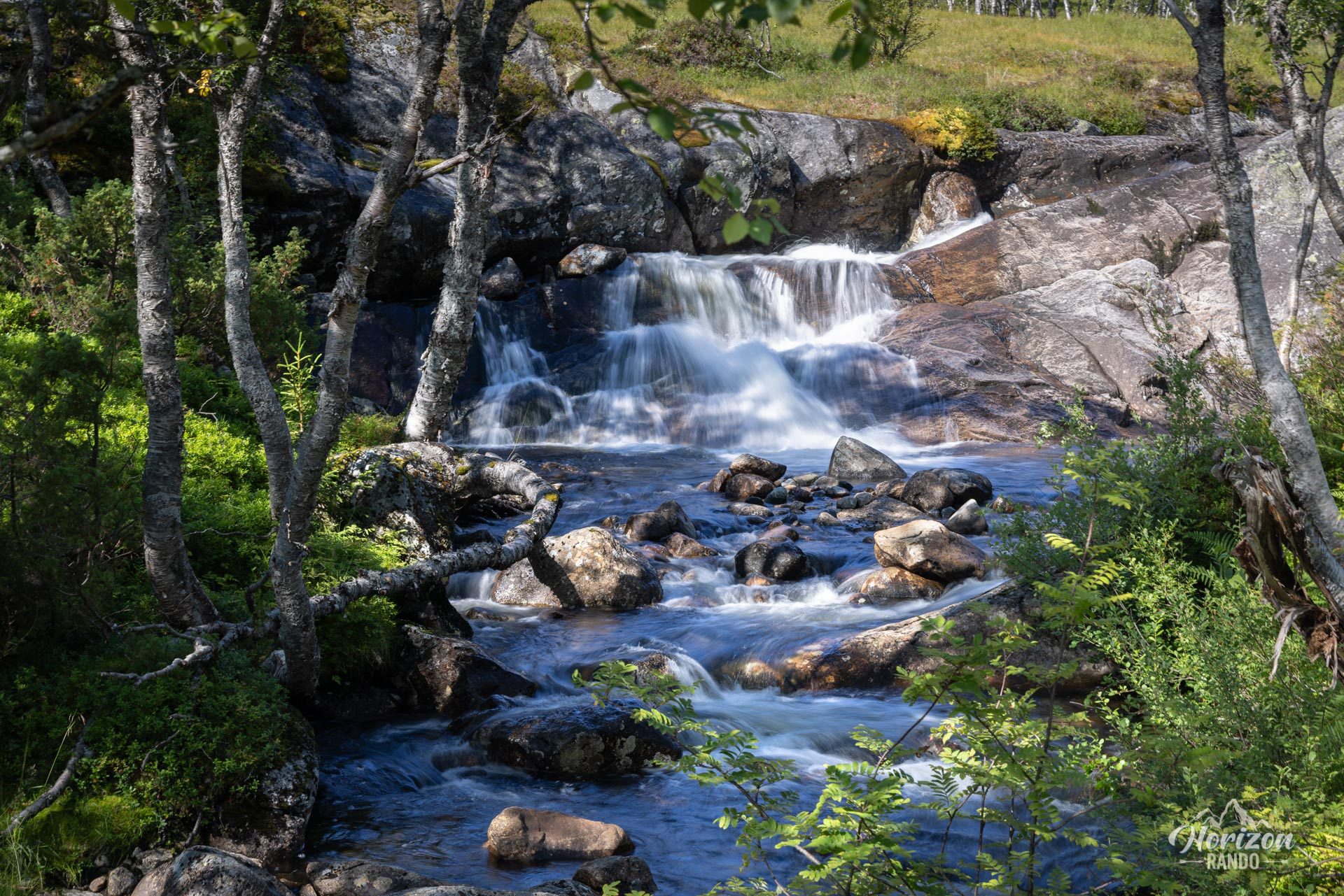
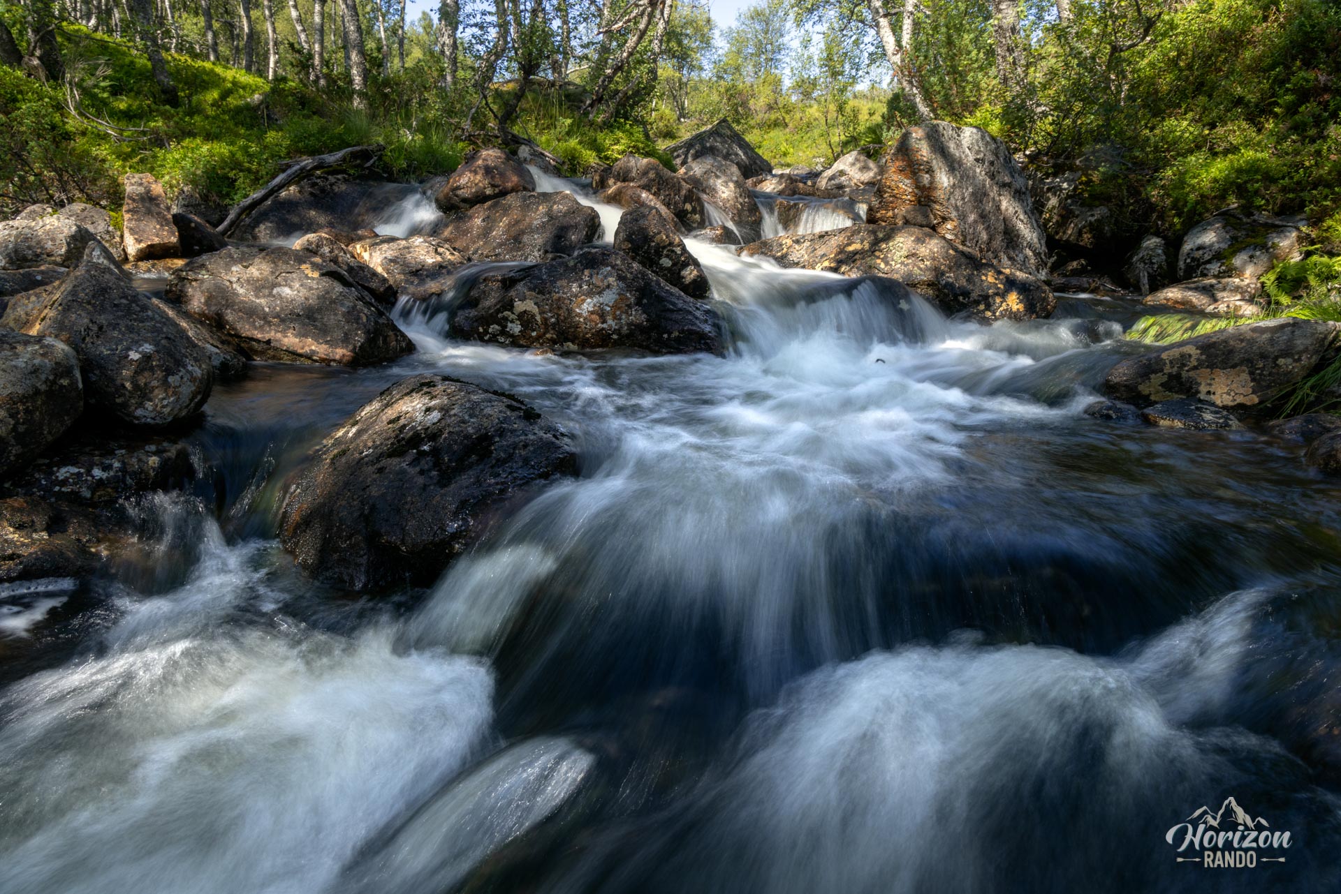
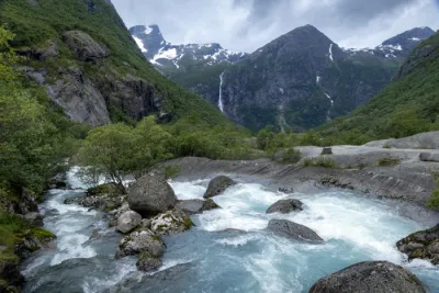
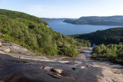
- Exceptional landscape diversity throughout the route: dense forests, waterfalls, fjords, lakes, and glaciers.
- A peaceful and wild itinerary, far from the crowds, and ideal for lovers of authentic adventure.
Practical information
Parking
There is a small, free parking lot with six to eight spaces at the start of the hike in Stand. Arrive early during the high season!
Best time to go
From mid-June to September, on average. See the Norway FAQ for more details.
Photos
See all 25 photos →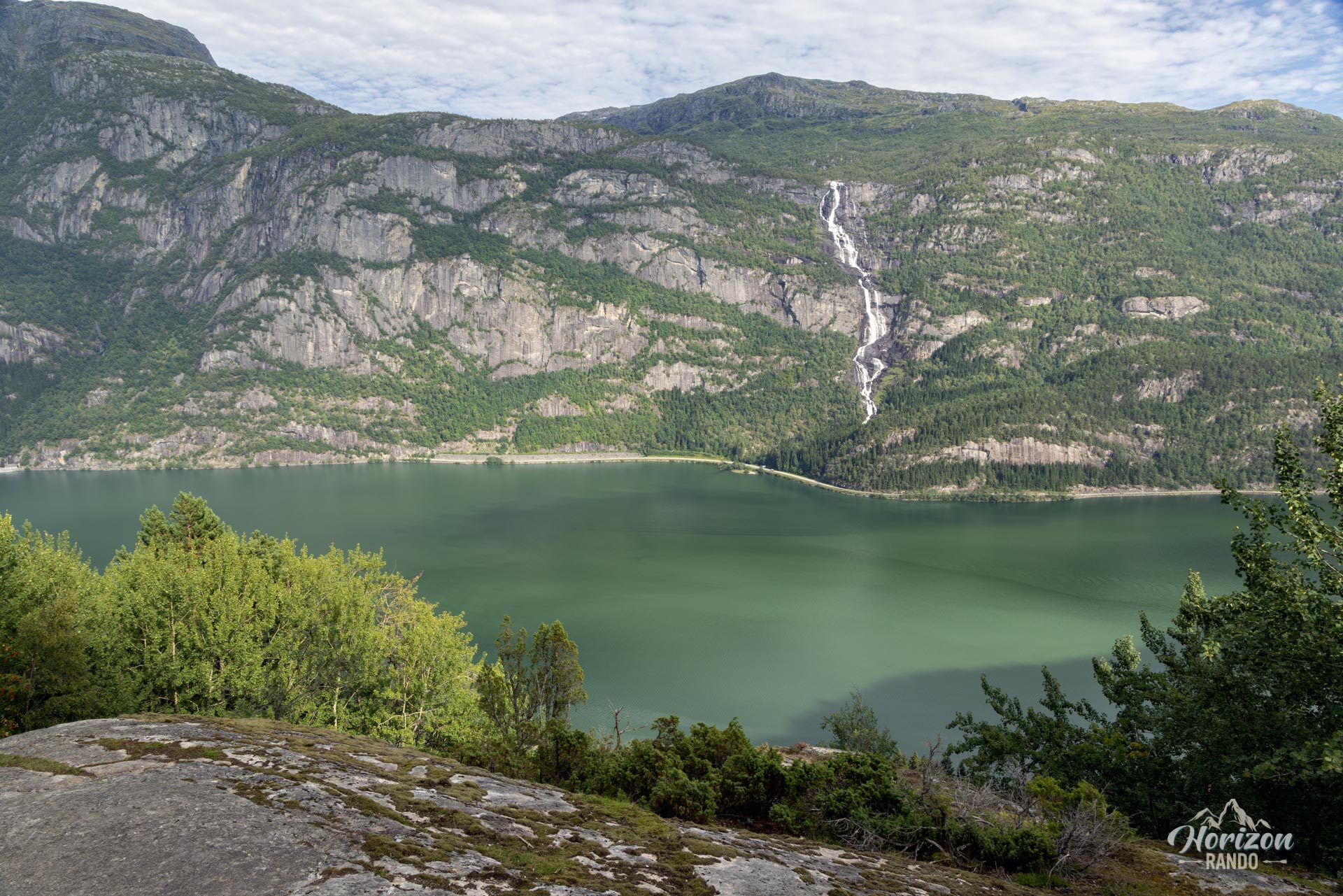
More hikes to do in Norway
Nearby hikes





















Printed from www.horizonrando.fr/en/norway/jordalsnuten/