





Ulriken Hike
Key facts about the hike
- Difficulty
- Easy Hikes are rated from very easy to very hard: my difficulty scale
- Duration
- 2h45 Estimated time, short breaks included (photos, water, snacks), picnic not included: how it is calculated
- Distance
- 5.7km
- Elevation gain
- 510m
- Type of route
- Loop
- Maximum altitude
- 643 m
- Vertiginous Five levels, depending on how exposed the route is: the levels in detail
- No
- Marked
- No
- Popularity
- Moderate
- County
- Vestland
- Start point
- 60.37256, 5.36978
- Activity
- Hiking
Hike overview
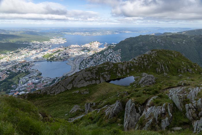
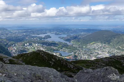
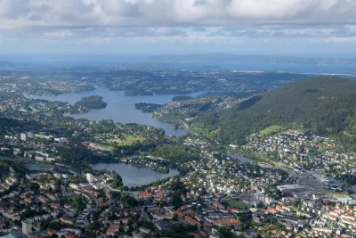
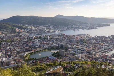
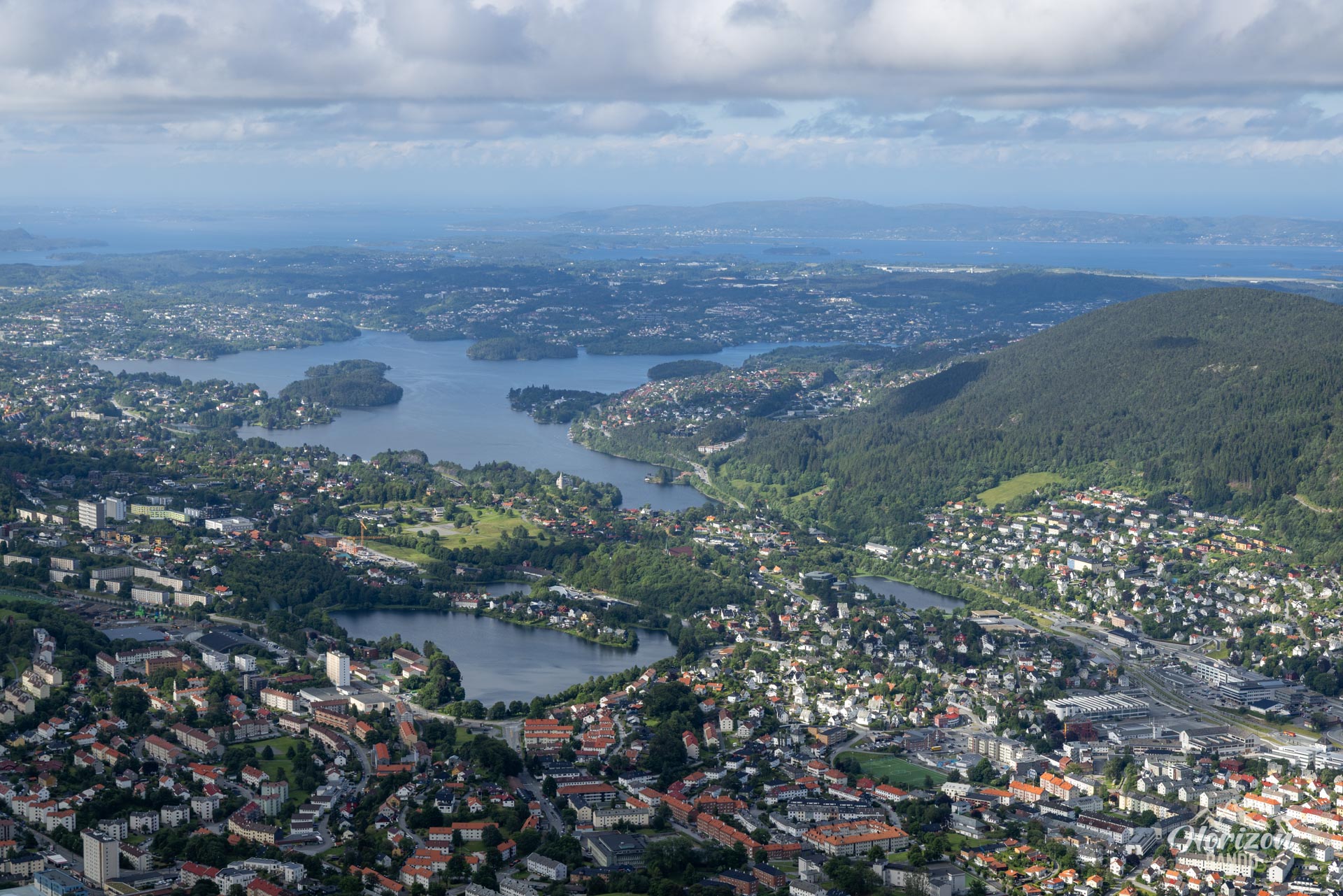
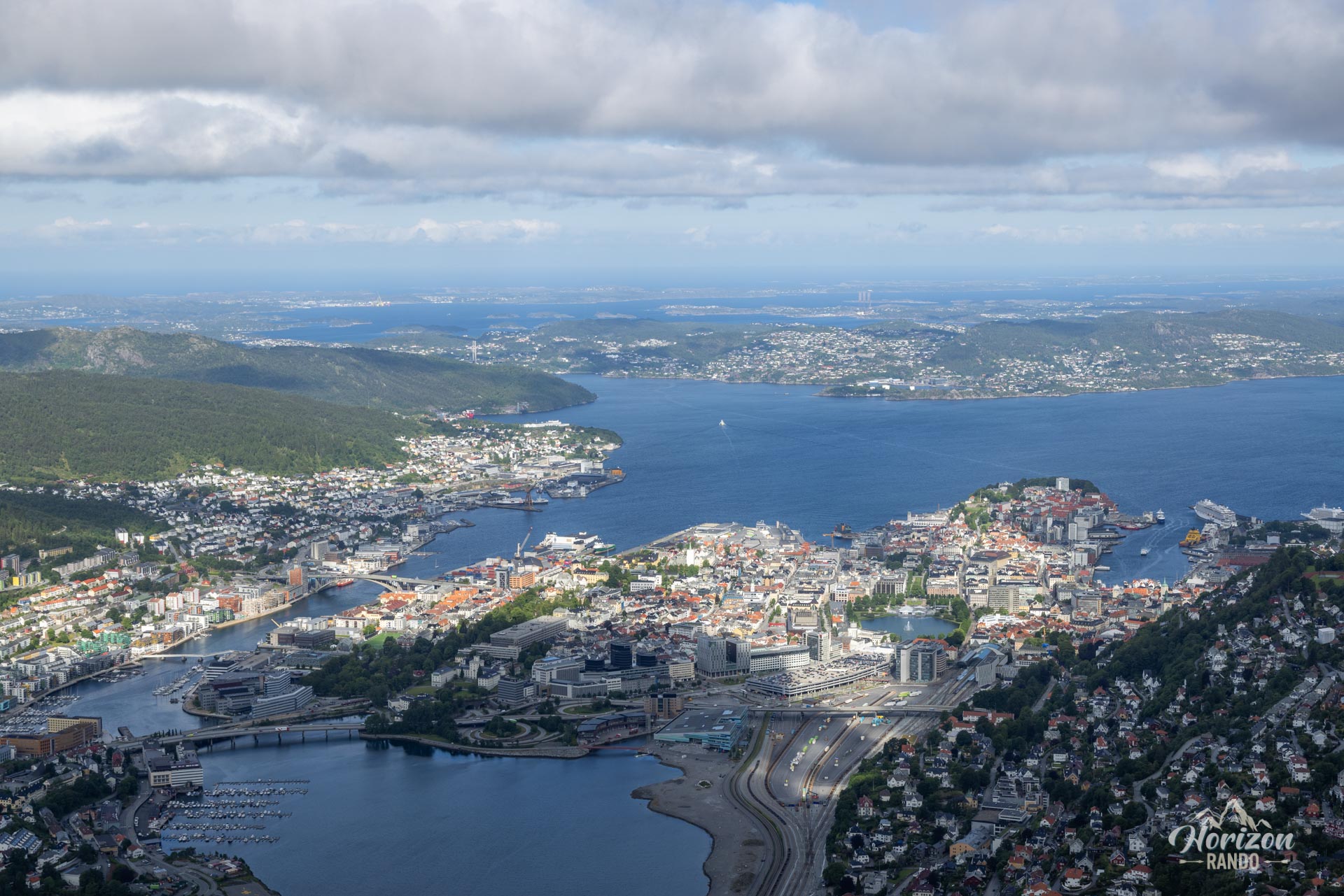
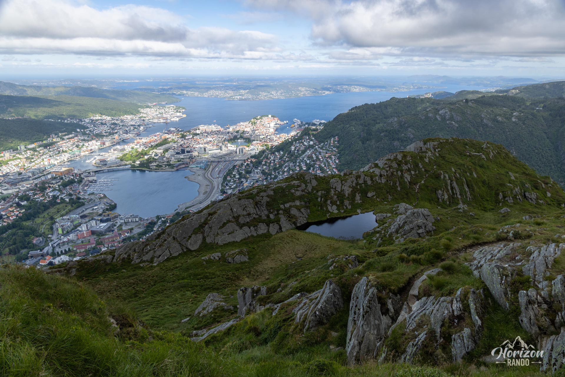
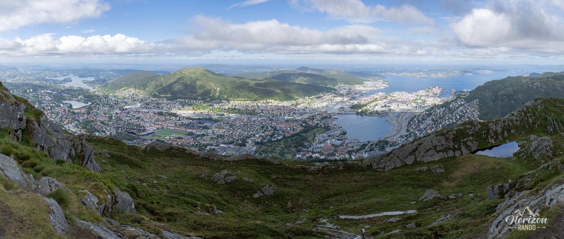
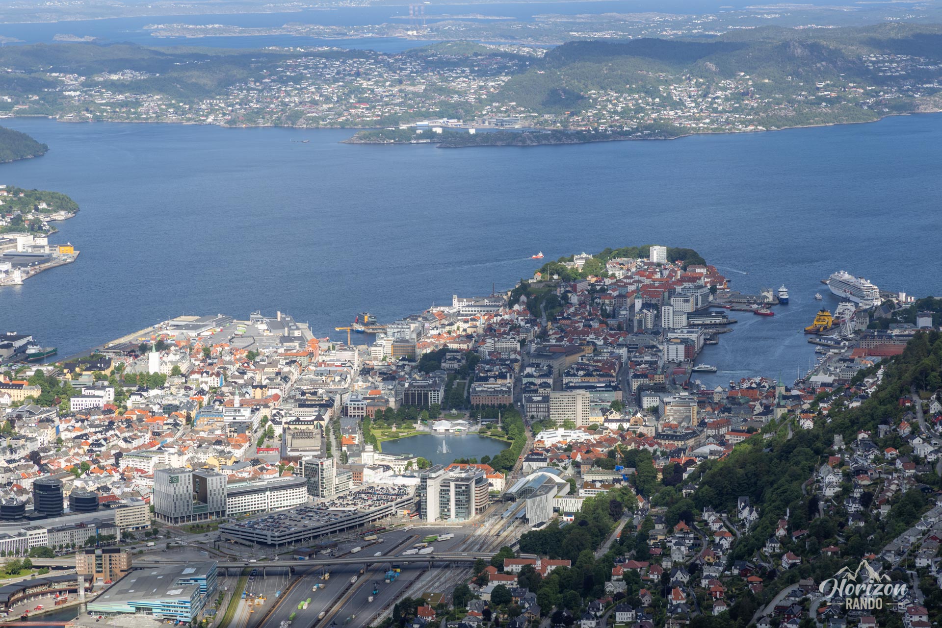
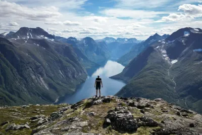
At an elevation of 643 meters, Ulriken is the tallest of the seven mountains surrounding Bergen, in Norway. This true local landmark offers hikers breathtaking views of the city, fjords, and surrounding islands. There are several trails that lead to the summit; the most famous is the Sherpa Steps, an impressive stone staircase with over 1,300 steps.
Map and elevation profile of the hike
Ulriken Hike
Description and difficulties of the hike
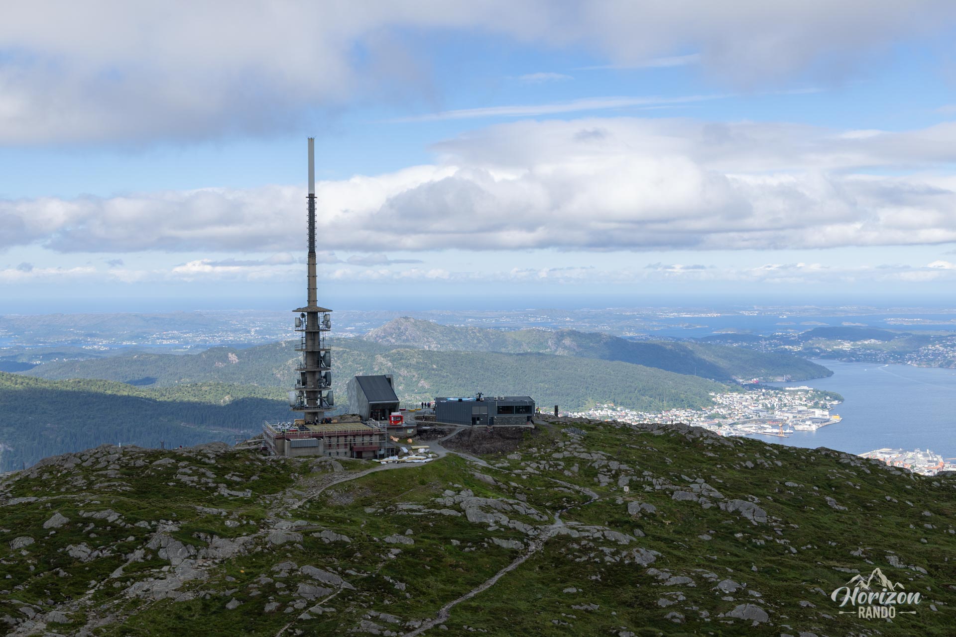
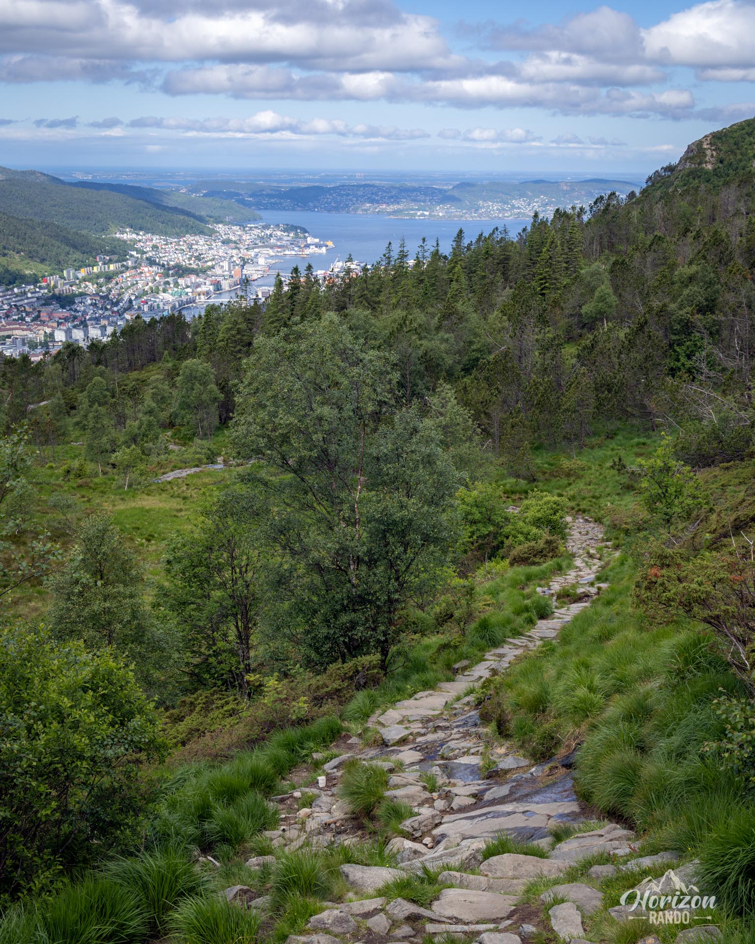
The trailhead is in the Montana residential neighborhood, which is accessible by bus from the city center. The route starts on a wide gravel path and then continues up the Sherpa Steps, climbing 500 meters in elevation over just two kilometers. It's a short but steep climb. Once you reach the imposing radio antenna at around 600 meters, the route continues along a traditional hiking trail winding through the wild landscape typical of the Norwegian mountains.
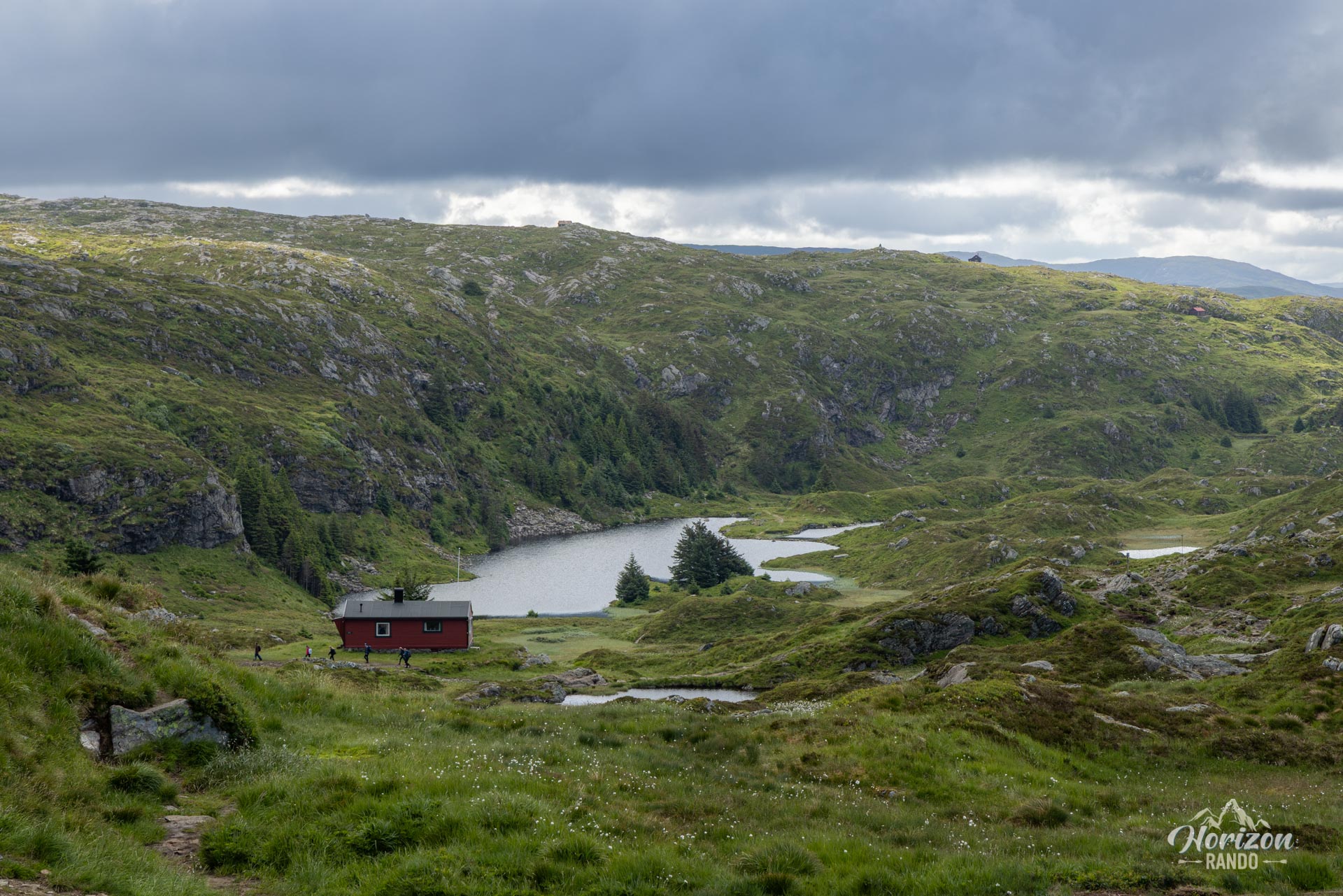
For the return trip, you have several options. You can descend via the same Sherpa stairs or opt for a deeper immersion in nature by following the "Korketrekkeren" trail, which winds through a magnificent plateau dotted with small mountain lakes. Though the route is unmarked, the trail is signposted; simply follow "Ulriken" on the way there and "Montana" on the way back.
What you'll love
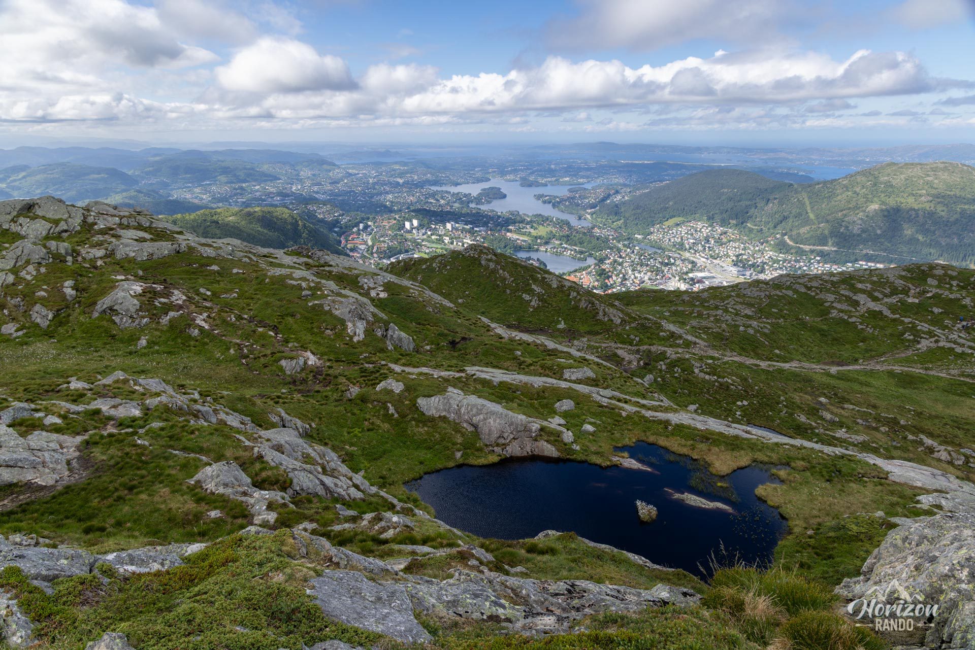
- Spectacular panoramic views: Take in the 360° panorama from the summit overlooking the city of Bergen, the fjords, and the islands on one side, and the untamed wilderness on the other.
- Immersion in nature: Escape the hustle and bustle of the city in just a few minutes' walk to find yourself in the heart of a typical Norwegian landscape.
- A flexible hike: Adapt the difficulty to your preferences! The cable car (for ascending or descending) and the multitude of trails connecting Montana to the Ulriken summit allow you to personalize your hiking experience.
Practical information
Ulriken Cable Car
A convenient option for ascending or descending if you wish to conserve energy or enjoy the scenery without exertion.
Access and parking
Parking near the trailhead in Montana is very limited. Public transportation is a safer and more environmentally friendly option.
Best time to go
From May to October, on average. See the Norway FAQ for more details.
Photos
See all 12 photos →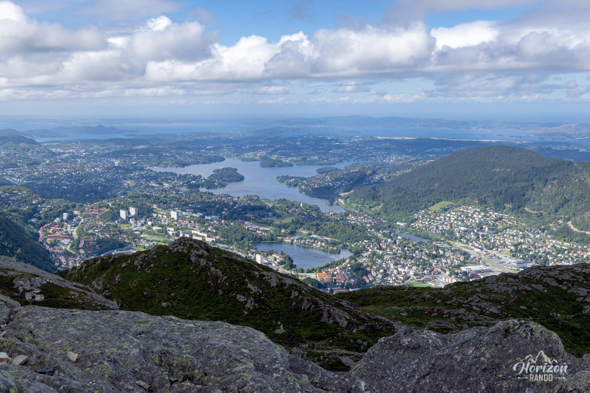
More hikes to do in Norway
Nearby hikes






















Printed from www.horizonrando.fr/en/norway/ulriken/