





Goksøyra Hike
Key facts about the hike
- Difficulty
- Hard Hikes are rated from very easy to very hard: my difficulty scale
- Duration
- 6h30 Estimated time, short breaks included (photos, water, snacks), picnic not included: how it is calculated
- Distance
- 13.1km
- out and back
- Elevation gain
- 1,190m
- Type of route
- Out and back
- Maximum altitude
- 1,315 m
- Vertiginous Five levels, depending on how exposed the route is: the levels in detail
- Slightly
- Marked
- No
- Popularity
- Low
- County
- Møre og Romsdal
- Start point
- 62.67355, 8.14474
- Activity
- Hiking
Hike overview
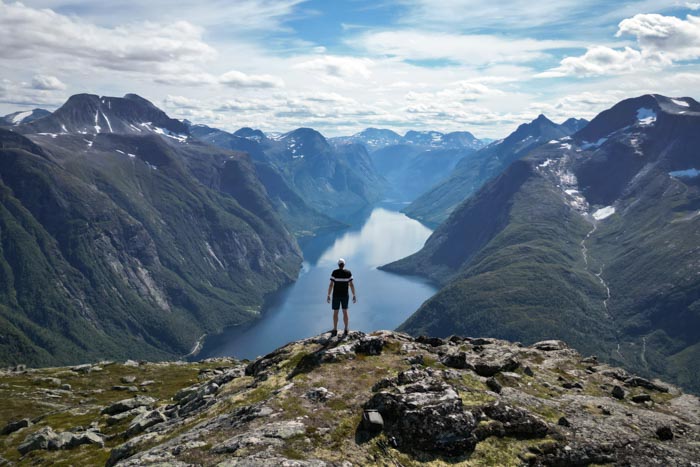
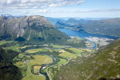
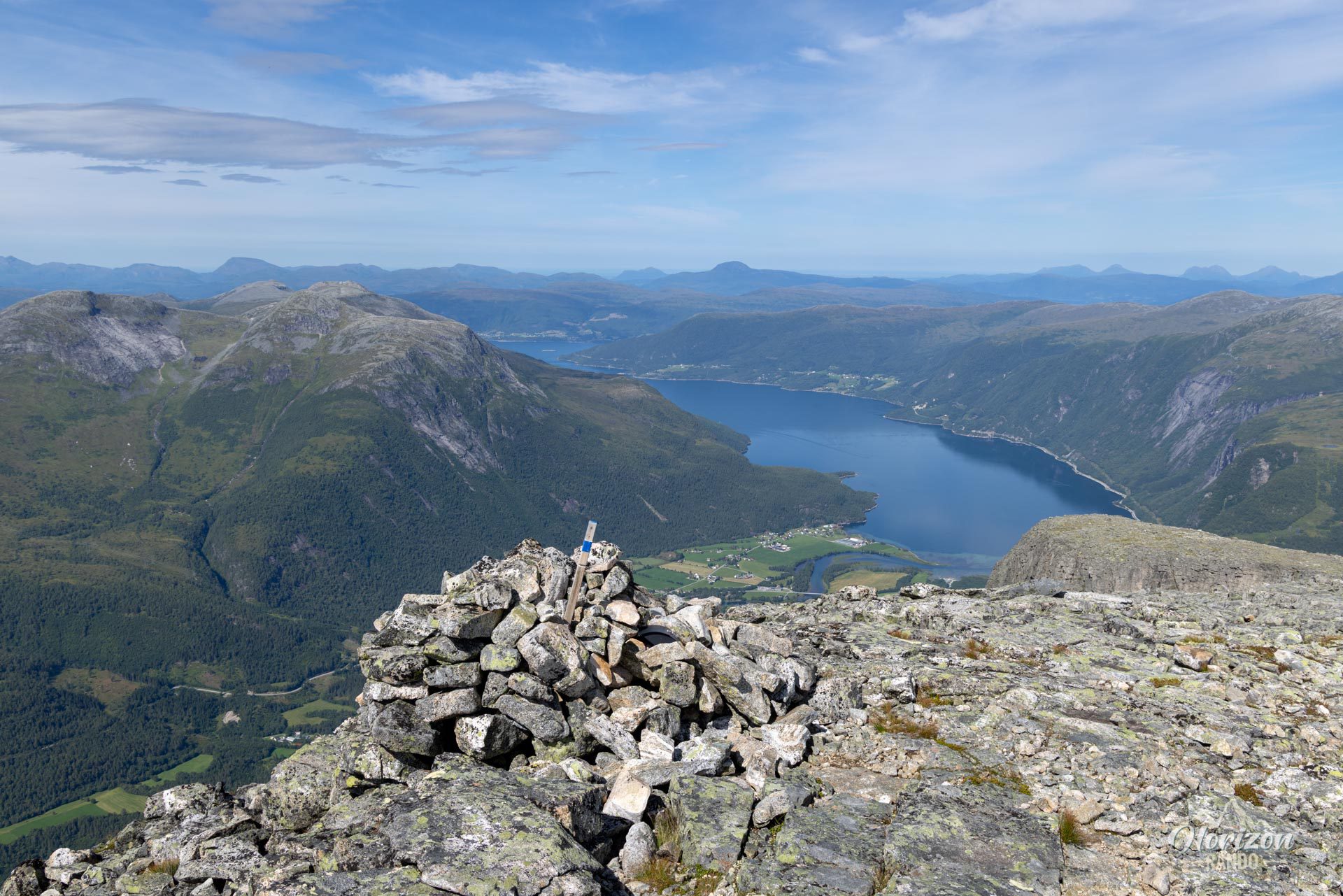
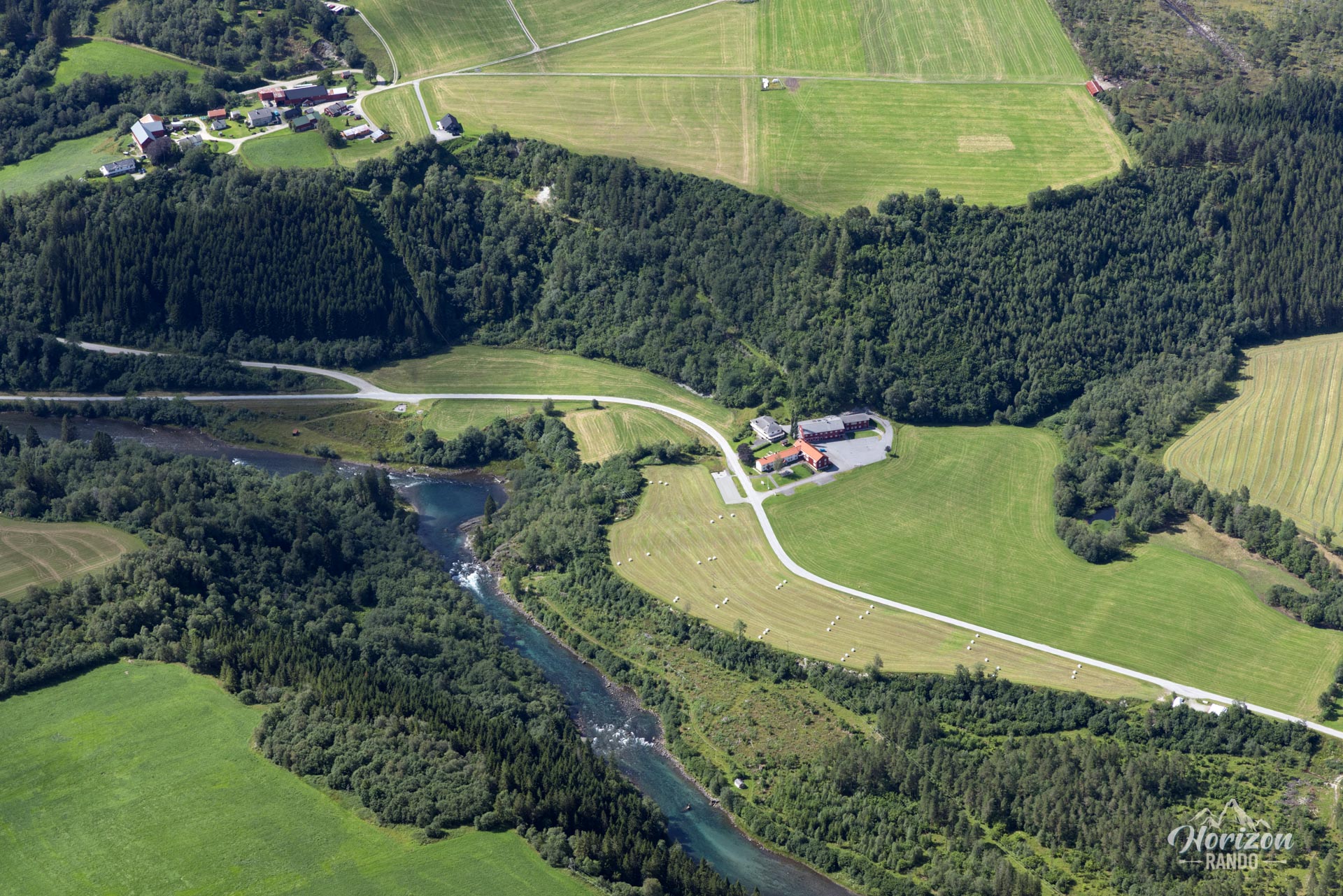
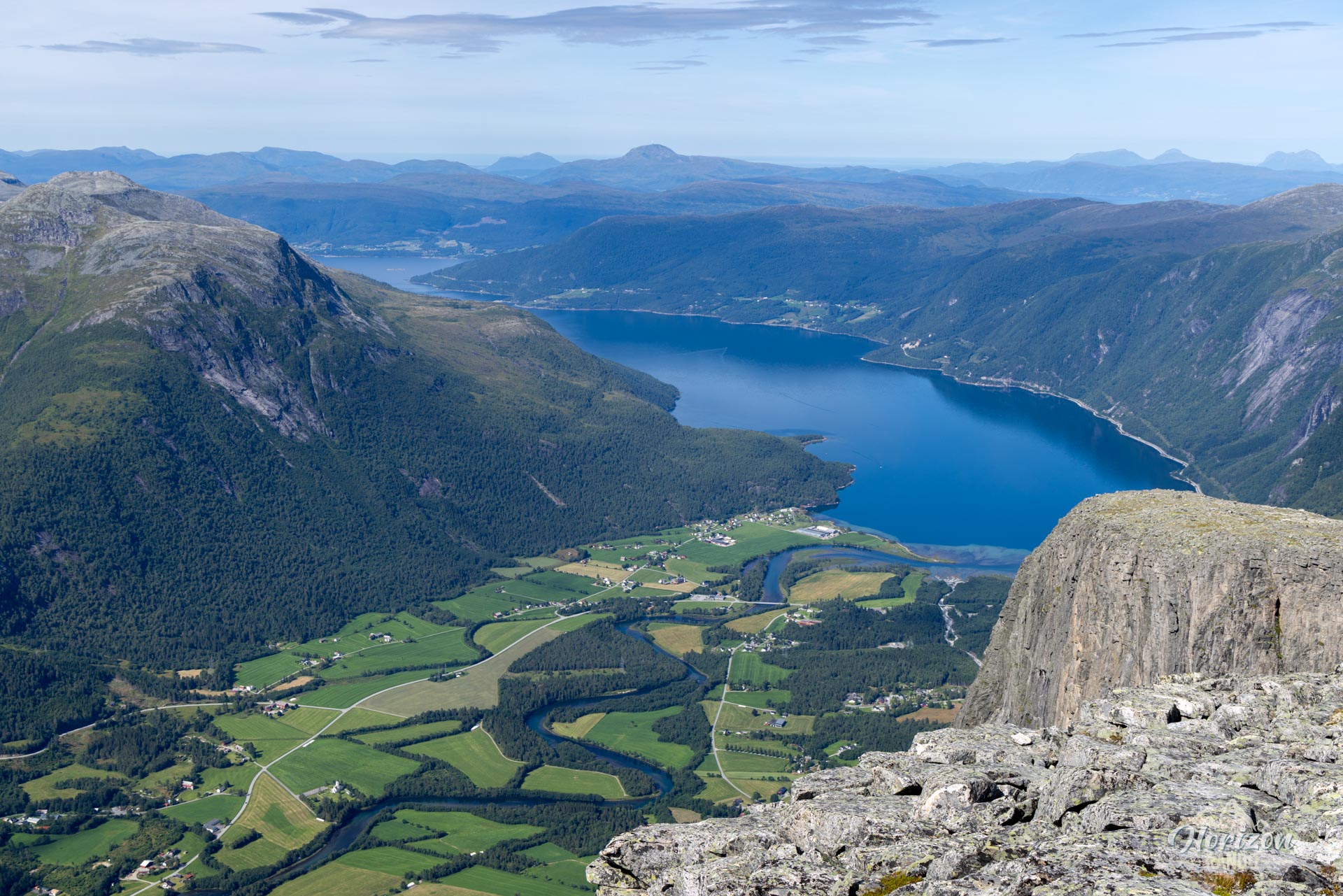
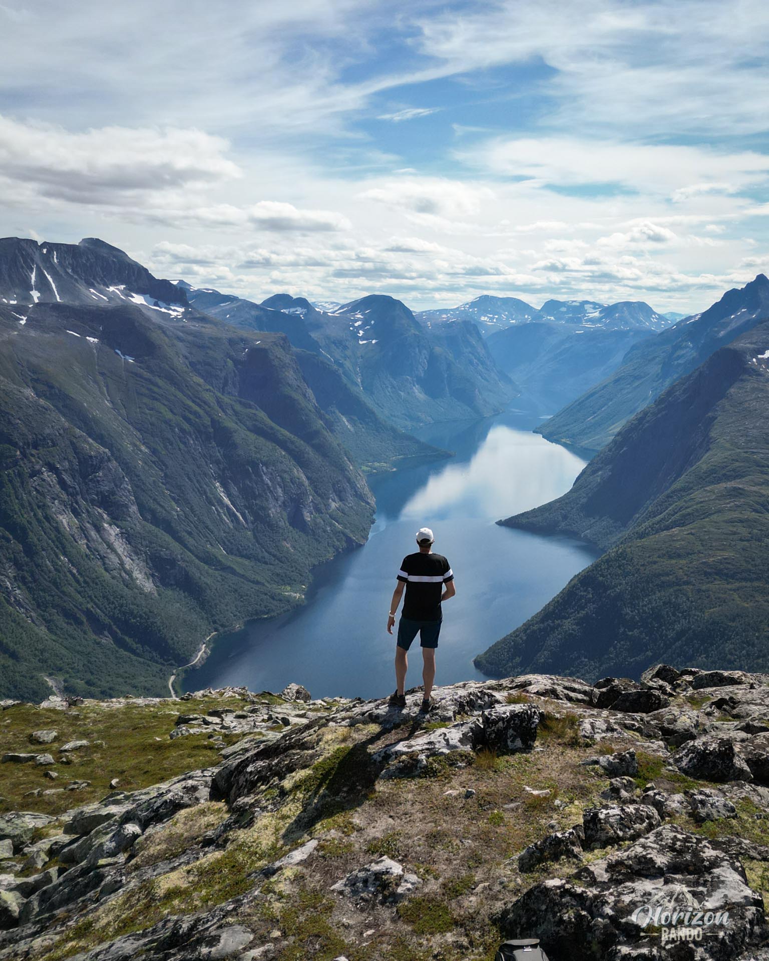
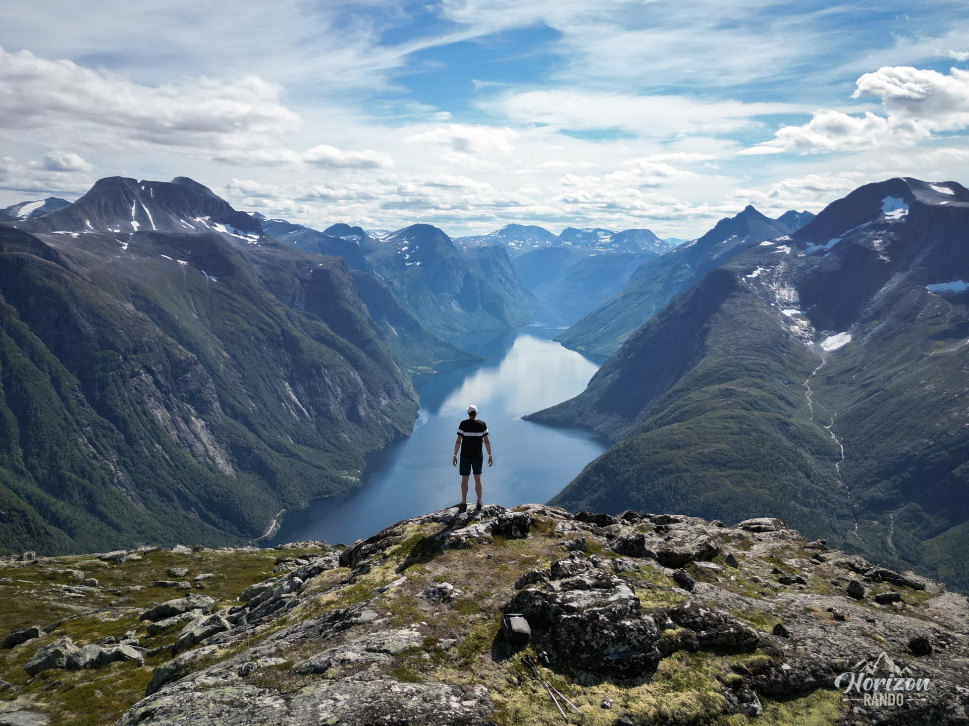
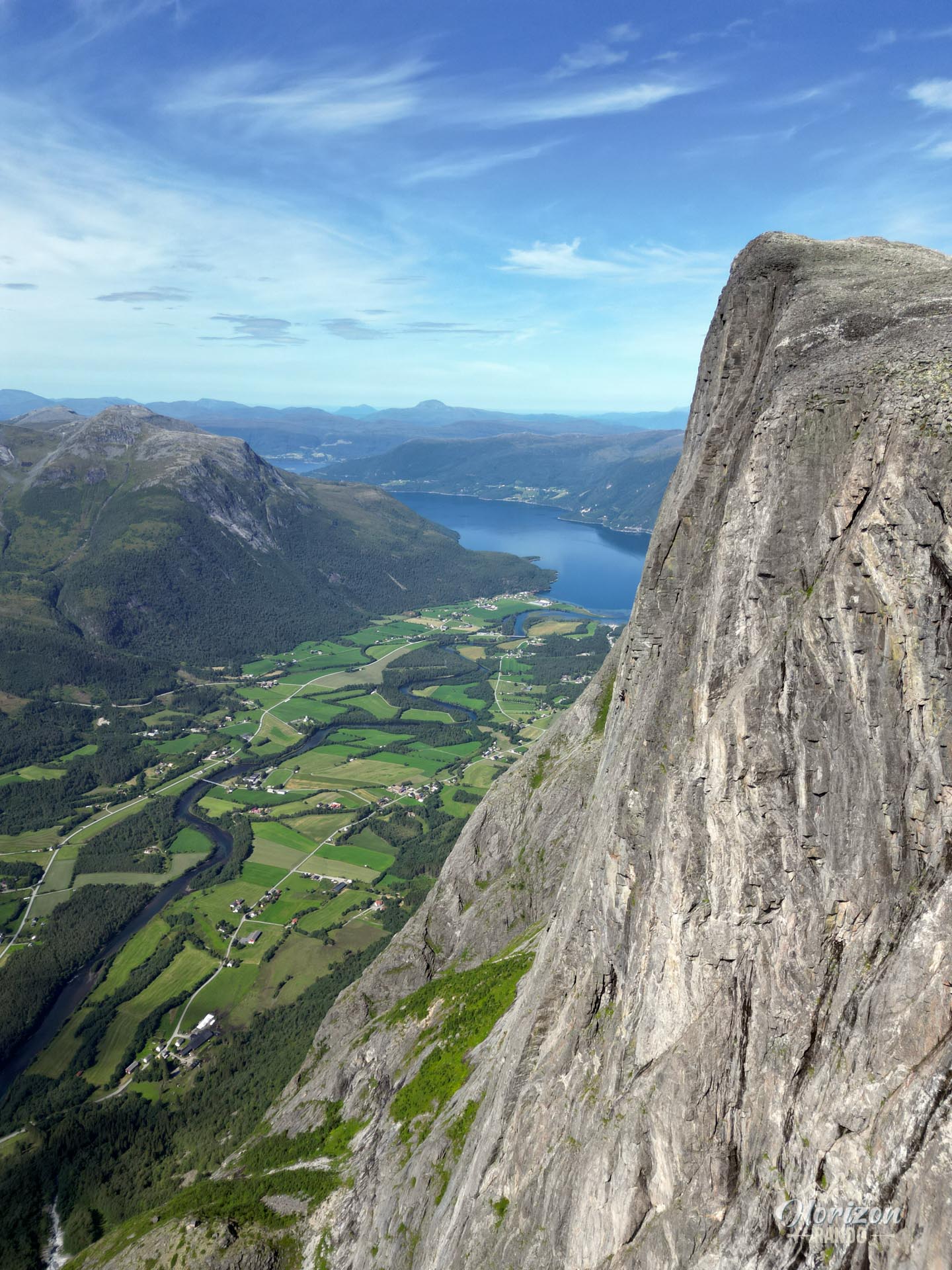
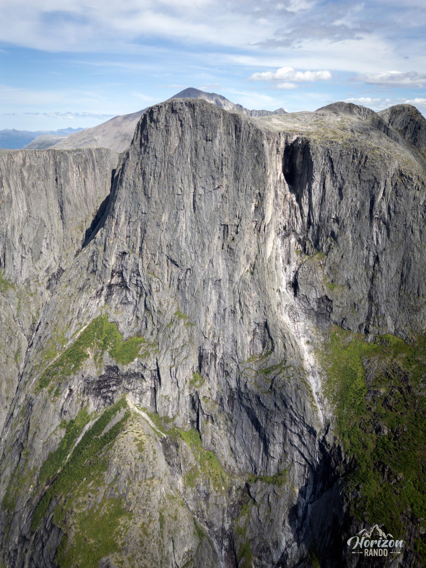
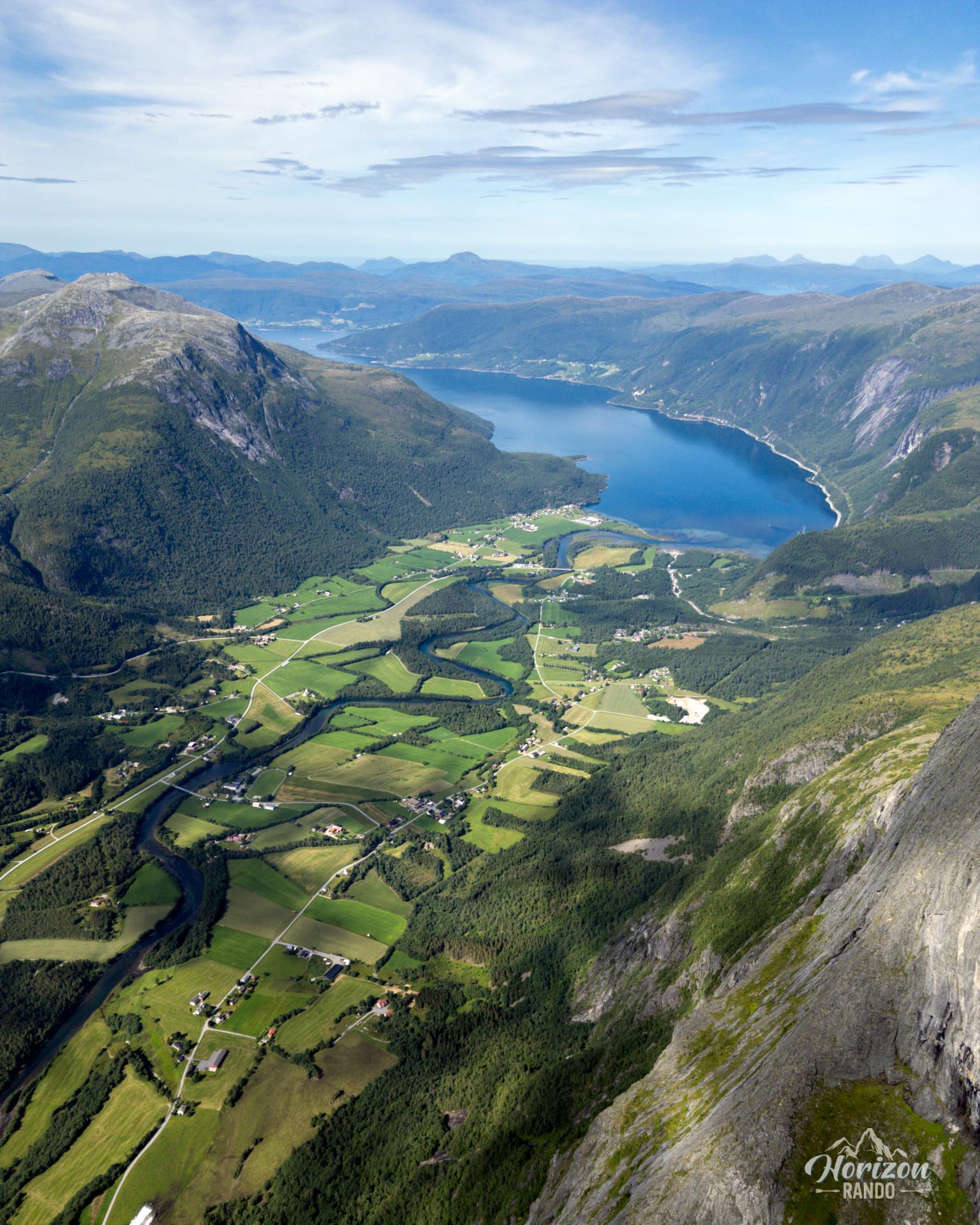
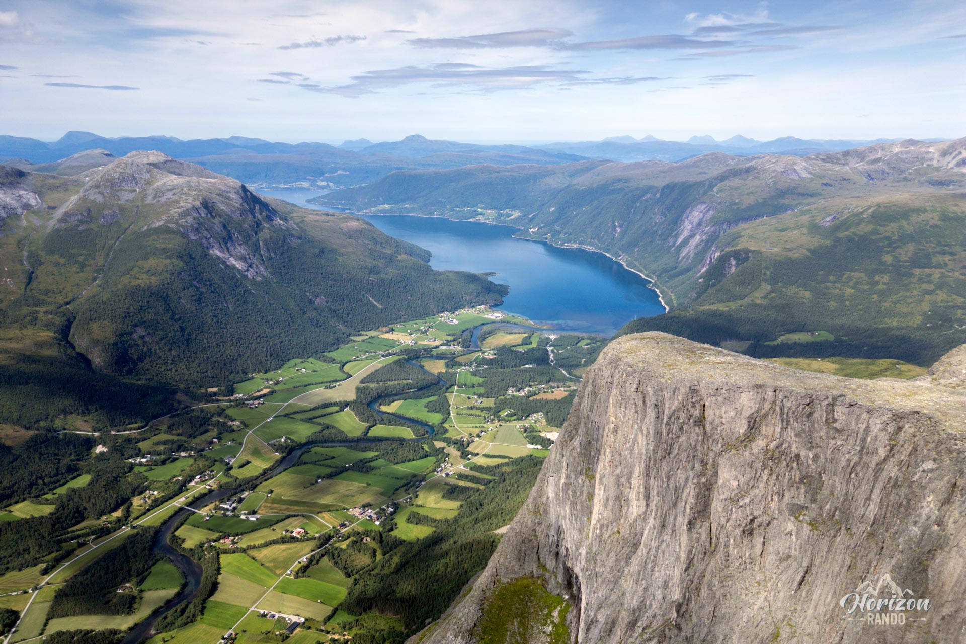
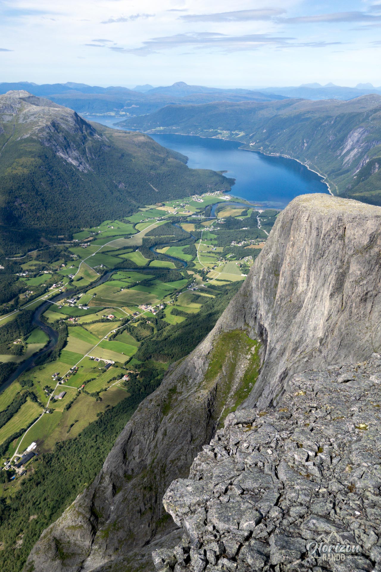
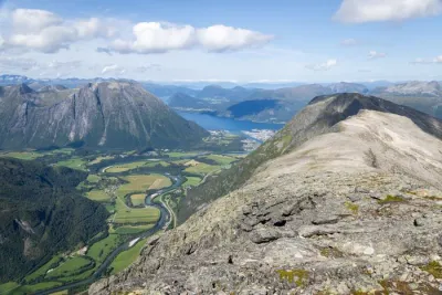
At 1,315 meters, the western peak of Goksøyra proudly dominates the village of Eresfjord in Norway. Its nearly vertical wall rises majestically from the valley. This challenging, lesser-known hike provides access to one of the most majestic natural viewpoints in the Møre og Romsdal region. Hikers will enjoy spectacular panoramic views of Lake Eikesdalsvatnet, Eresfjord, and the surrounding mountains in a wild and unspoiled setting.
Map and elevation profile of the hike
Goksøyra Hike
Description and difficulties of the hike
This physically demanding climb has an elevation gain of around 1,200 meters. It is steep from the beginning, especially in the initial wooded section. The effort is constant, but the increasingly open scenery is a worthy reward.
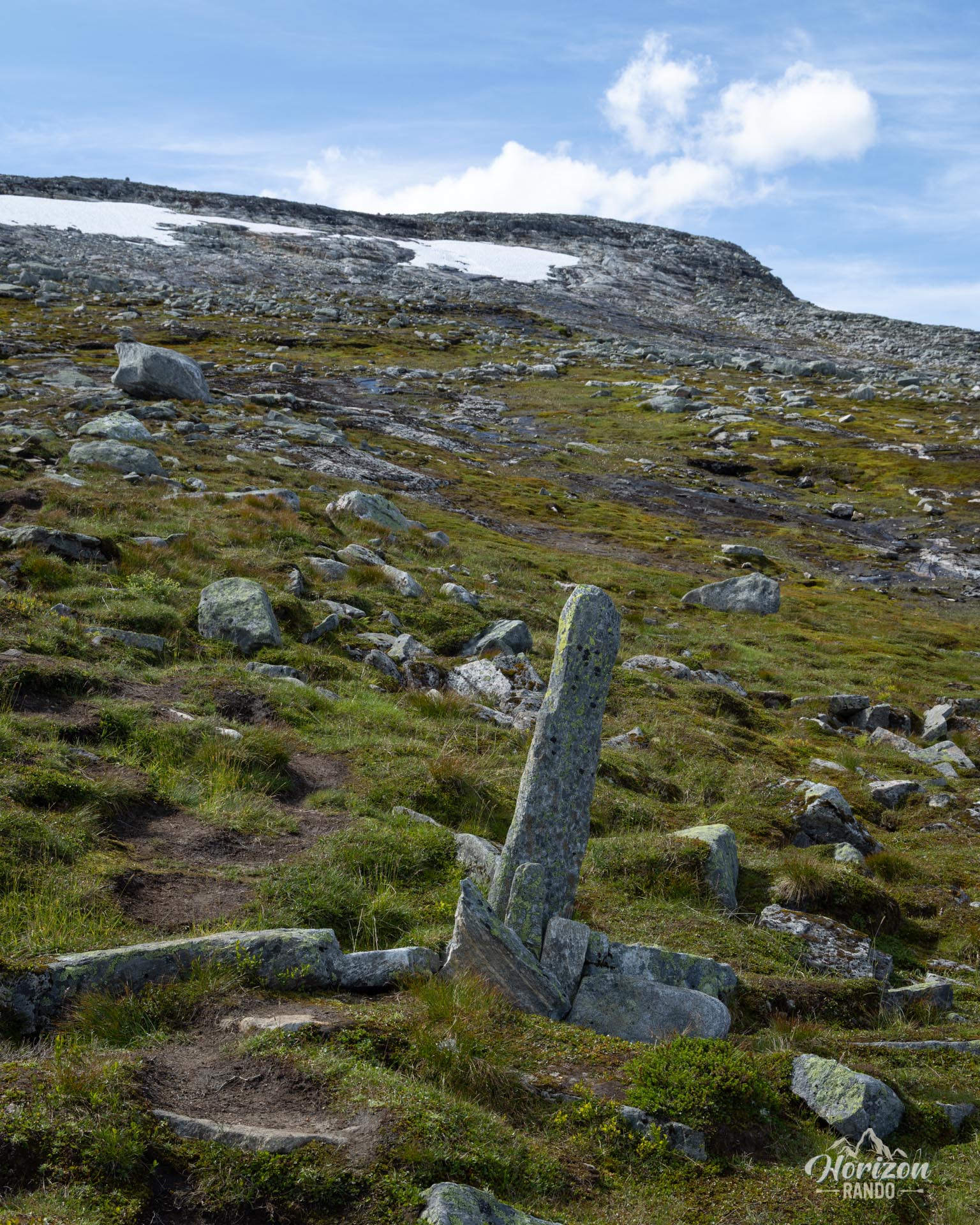
The unmarked trail is easy to follow until two-thirds of the way up: a single well-defined path winds its way up without any real forks. From an altitude of 850-900 meters, the terrain becomes more chaotic. A scree slope takes over, and you need to pay close attention to follow the cairns and standing stones. The final climb to the summit has no clearly defined trail. In this mineral world, each hiker must find their own path.
Therefore, it is essential to have a reliable means of navigation, such as a GPS watch or a hiking app, especially since the weather in Norway can change very quickly, bringing low clouds or fog that can make orientation difficult.
What you'll love
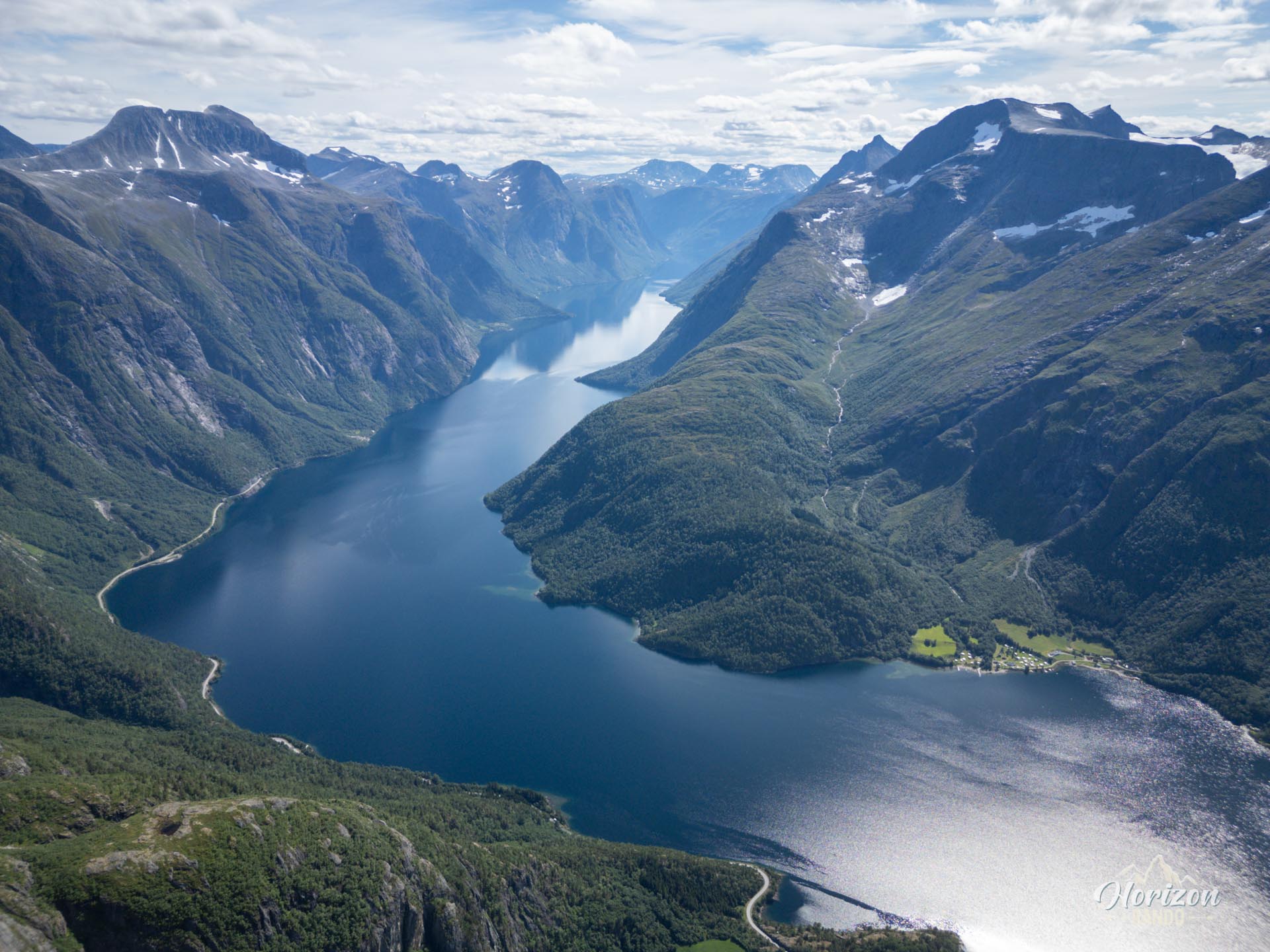
- A striking, vertical panorama: From the summit, the view opens up onto Lake Eikesdalsvatnet, nearly 18 km long and bordered by steep mountains that rise over 1,700 meters and plunge into its waters. It's a dizzying and majestic spectacle.
- A summit untouched by the hustle and bustle: Far from the crowds attracted by the more famous routes, you will only cross paths with a few hikers, leaving everyone with the luxury of exploring unspoiled, silent nature.
Practical information
Best time to go
From July to September, on average. See the Norway FAQ for more details.
Photos
See all 14 photos →
More hikes to do in Norway
Nearby hikes

















Printed from www.horizonrando.fr/en/norway/goksoyra/