





Hiking Guide to Landmannalaugar
- 8 hikes
- 7 nearby
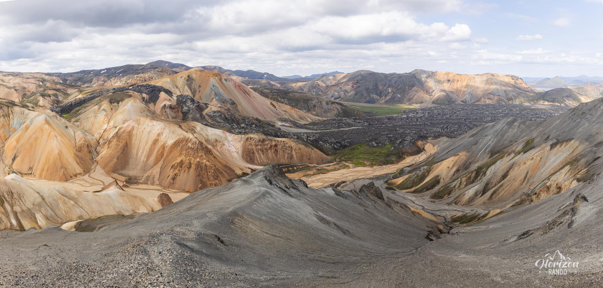
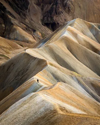
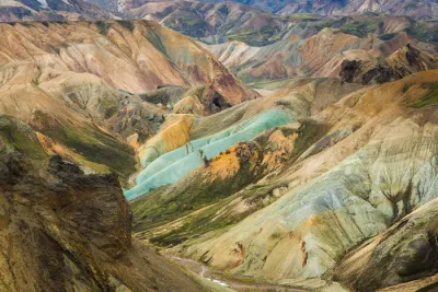
The Landmannalaugar region is one of Iceland's most spectacular natural attractions. Its colorful rhyolite mountains, vast volcanic landscapes and natural hot springs make it a must-see destination for wilderness and hiking enthusiasts.
With so many trails to choose from, it can be difficult to find the right route for your skill level and expectations. This guide aims to help you choose the perfect route for an unforgettable experience in the heart of these extraordinary landscapes.
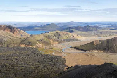
Getting to Landmannalaugar
By car
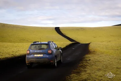
To reach Landmannalaugar, you must take the F-roads, which are tracks in the Icelandic Highlands reserved exclusively for 4WD vehicles.
Opening of the F-roads
- On average, the F-roads open around mid-June, but this date varies depending on weather conditions.
- Always check the road conditions on the road.is website before setting off.
F-road opening dates (2018-2022)
| Road | Median | Earliest – latest |
|---|---|---|
| F208 NorthSigalda – Landmannalaugar | 12 June | 24 May – 23 June |
| F225Landmannaleið | 16 June | 28 May – 24 June |
| F208 SouthLandmannalaugar – Eldgjá | 30 June | 14 June – 8 July |
Source: road.is
Possible routes
| Road | River crossings | In short |
|---|---|---|
| F208 North | None | The most accessible option |
| F225 | Several, shallow | A more scenic route |
| F208 South | Several, medium-depth | The most challenging route |
Parking: it is now necessary to reserve a parking space before your arrival.
To avoid any unpleasant surprises, check out my page on driving in the Highlands.
By bus
If you want to travel with complete peace of mind, several companies offer bus services from Reykjavik and other locations in southern Iceland to Landmannalaugar.
Operating period: late June to mid-September.
Main companies: check timetables and book your tickets with the following two operators:
Hikes in Landmannalaugar
All routes start from the Landmannalaugar campground. Unlike other maps on Horizonrando, the markers here indicate the destination (summit, crater, etc.) rather than the starting point.
Practical tips
- Allow at least a full day to explore the area. If you can extend your stay, don't hesitate — you won't regret it!
- Always check the weather forecast on the vedur.is website before setting off, paying particular attention to cloud cover (low and medium clouds). The campsite is located at an altitude of 600 metres, and most hikes reach altitudes between 900 and 1,000 metres.
List of hikes (from easiest to most difficult)
Laugahraun
1 h 304.7 km160 m D+An easy walk through the Laugahraun lava field. It can easily be combined with other routes.
Brennisteinsalda
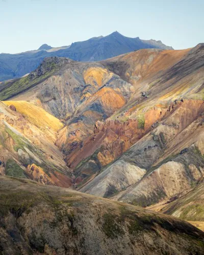
2 h 457.5 km350 m D+A brightly coloured volcano and one of the most photogenic in the region.



Bláhnúkur and Brennisteinsalda
4 h9.9 km620 m D+The perfect combination for a first visit to Landmannalaugar: variety, spectacular views and accessibility!
Ljótipollur
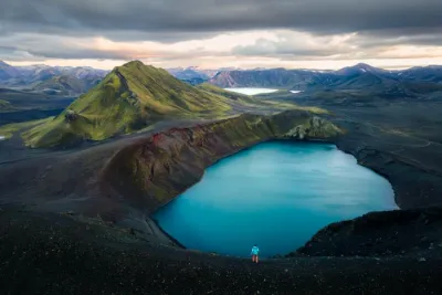
4 h 3013 km330 m D+The only route heading north allows you to discover different landscapes. Not recommended for a first visit.


Skalli
6 h 3017.7 km960 m D+Long, but without any technical difficulty. Perfect for endurance hikers looking for less crowded trails.

Bláhnúkur, Skalli and Grænihryggur
9 h23.7 km1,500 m D+The ultimate adventure for very experienced hikers. It is certainly one of the most beautiful hiking experiences in Iceland.

Combine routes
Make the most of your day by combining several routes. For example:
- Start with Brennisteinsalda, then continue on to Suðurnámur
- Follow the Skalli hike, and finally return via Bláhnúkur
Which hike should you choose?
 ★ My pick
Bláhnúkur and Brennisteinsalda
Relaxation after the hike
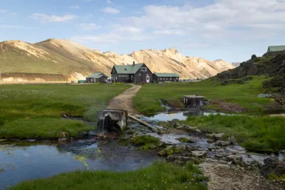
Treat yourself to a well-deserved break in the natural hot springs located near the Landmannalaugar campground after your hike.
- The temperature remains constant between 35 and 40°C all year round.
- It's the perfect place to relax your muscles after your hike.
Extend your stay
- The Landmannalaugar campsite is an ideal base for exploring the surrounding area.
- Indicative price in 2023: ISK 2,500 per person.
Hikes and points of interest near Landmannalaugar
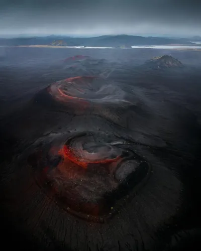
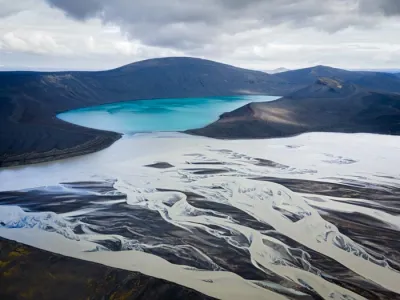
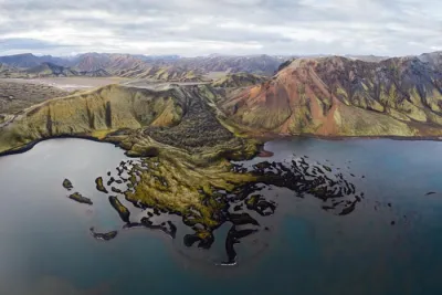

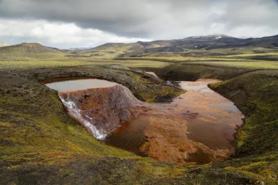
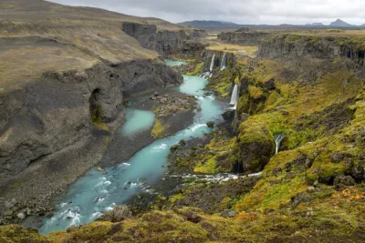
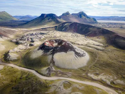
On the road to Landmannalaugar
Be sure to visit these must-see viewpoints: