






Landmannalaugar to Ljótipollur Hike
Key facts about the hike
- Difficulty
- Moderate Hikes are rated from very easy to very hard: my difficulty scale
- Duration
- 4h30 Estimated time, short breaks included (photos, water, snacks), picnic not included: how it is calculated
- Distance
- 13km
- Elevation gain
- 330m
- Type of route
- Loop
- Maximum altitude
- 730 m
- Vertiginous Five levels, depending on how exposed the route is: the levels in detail
- No
- Marked
- Yes
- Popularity
- Low
- Region
- Highlands
- Start point
- 63.99055, -19.06025
- Activity
- Hiking
Hike overview
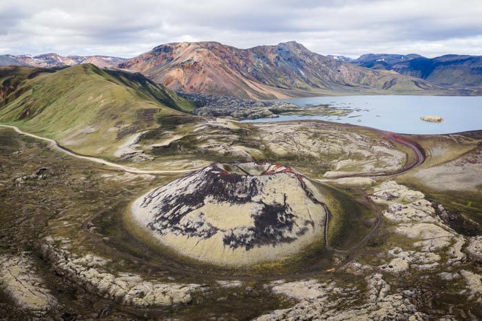
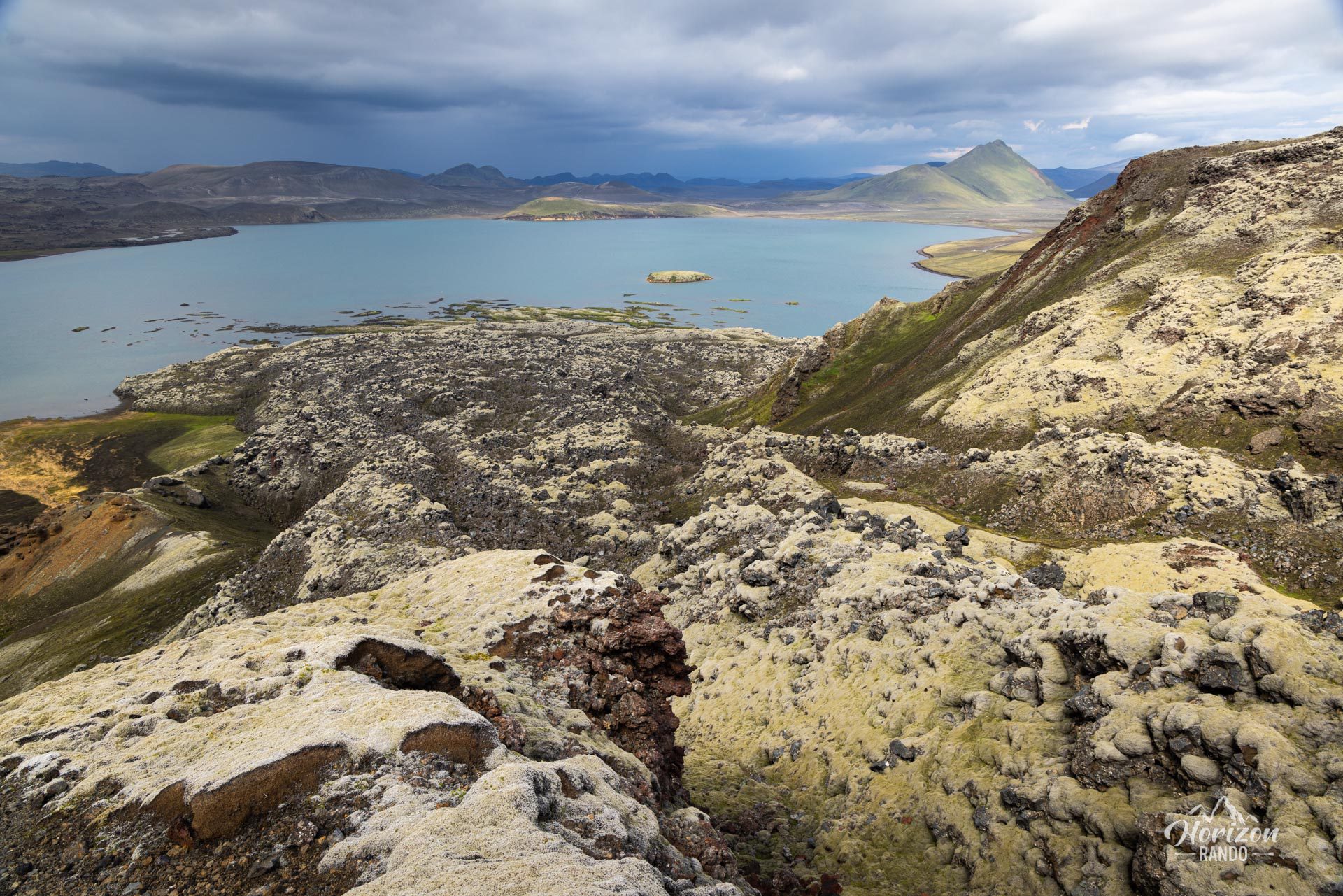
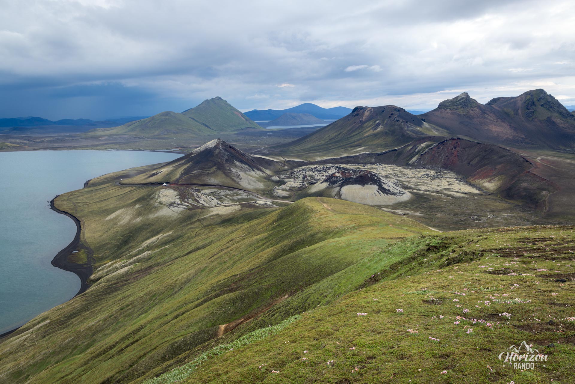
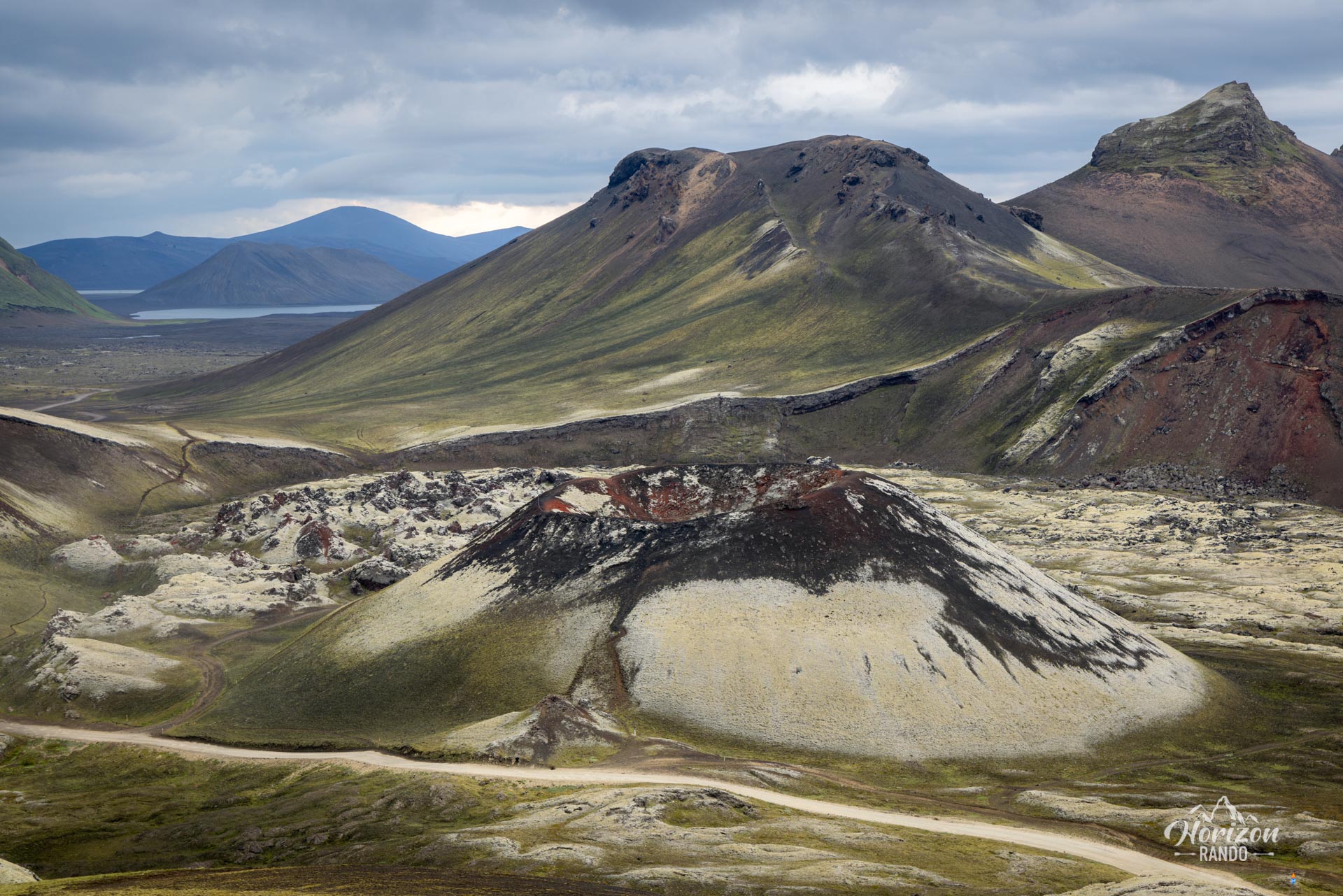
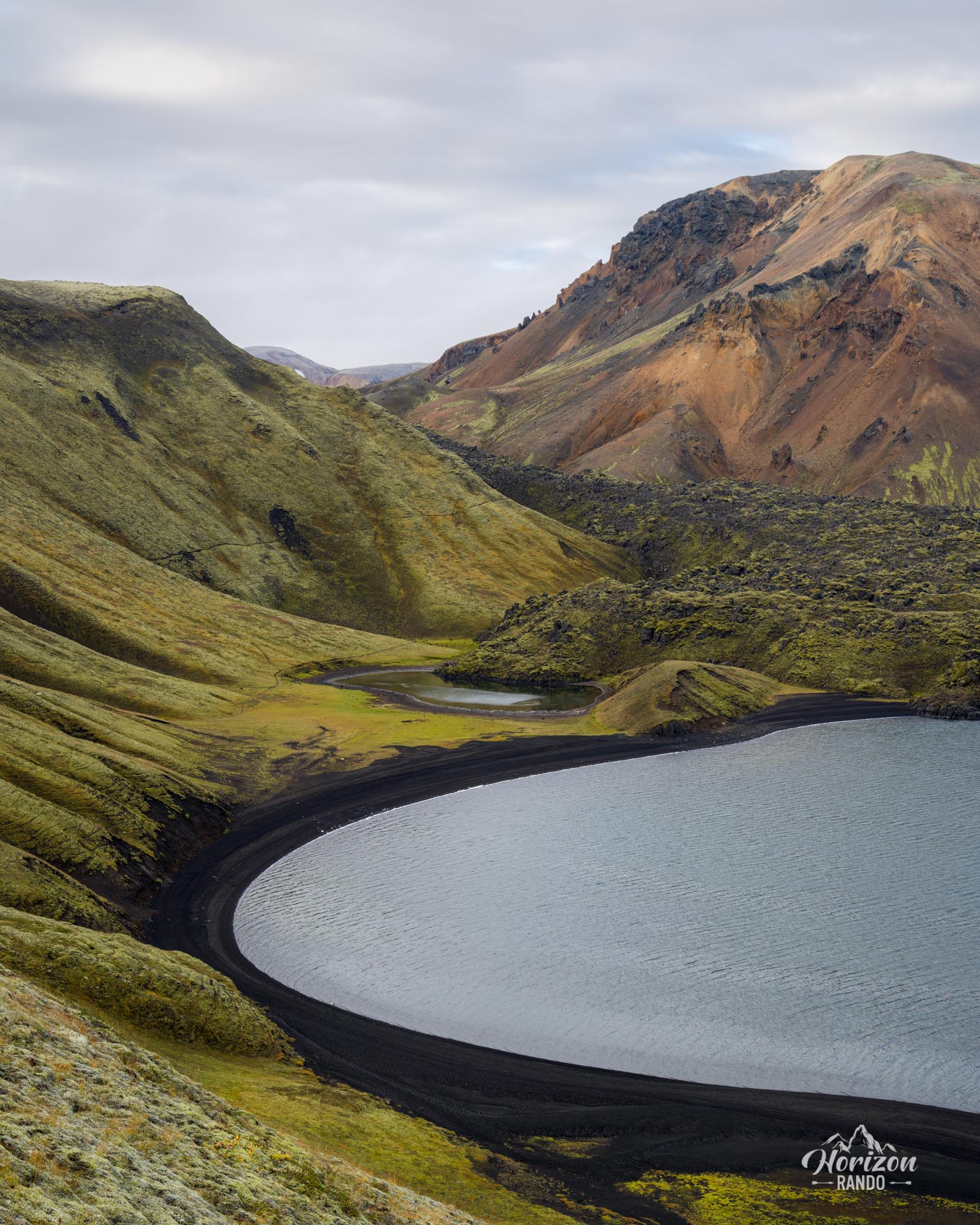
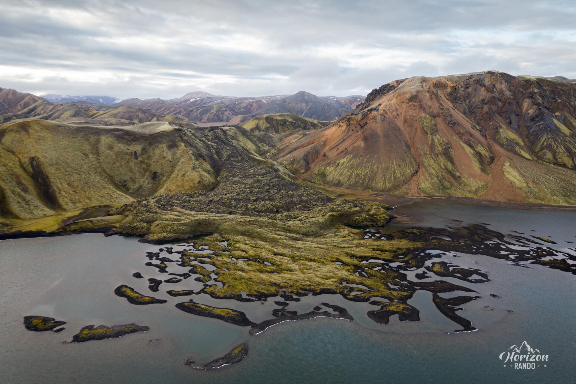
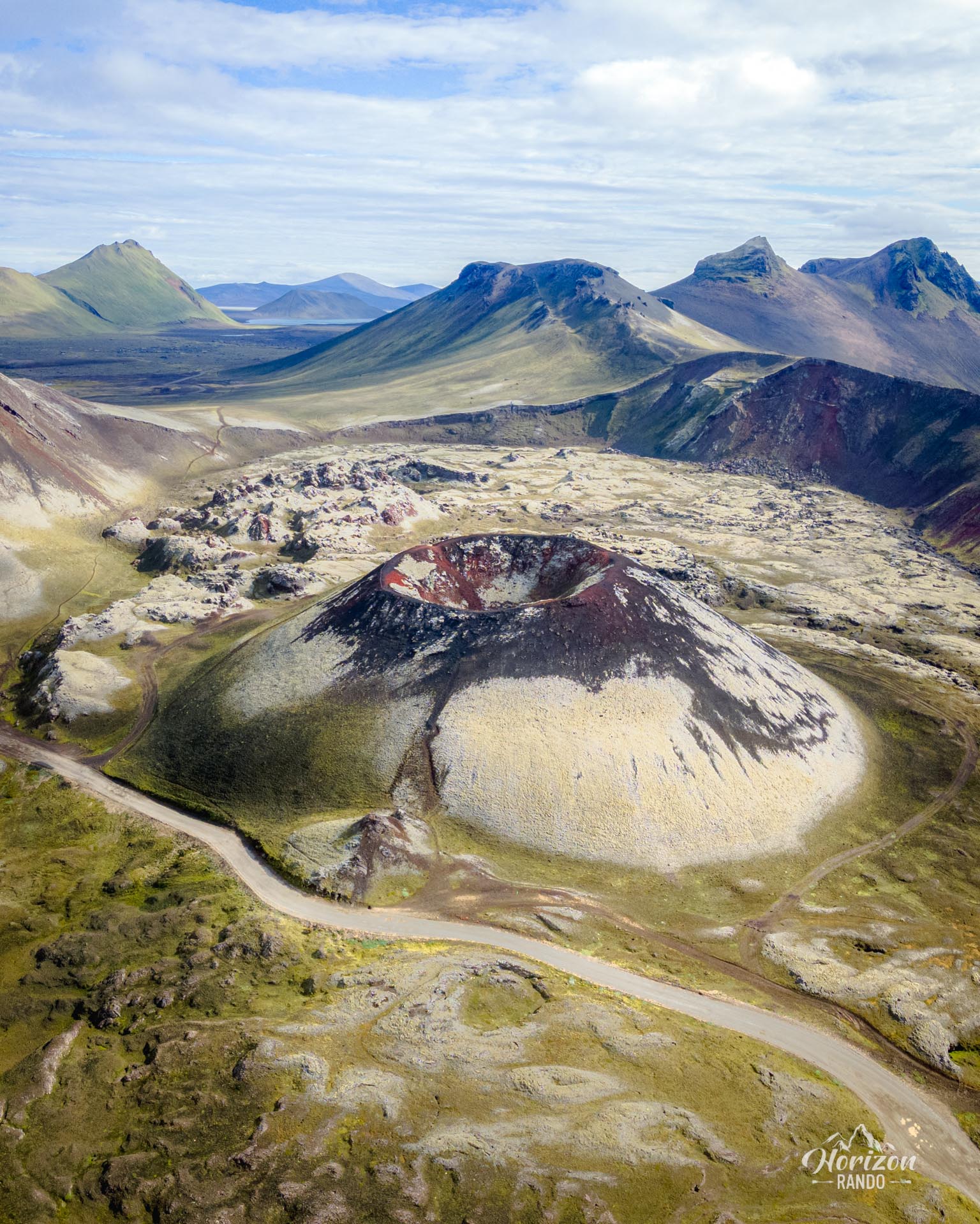
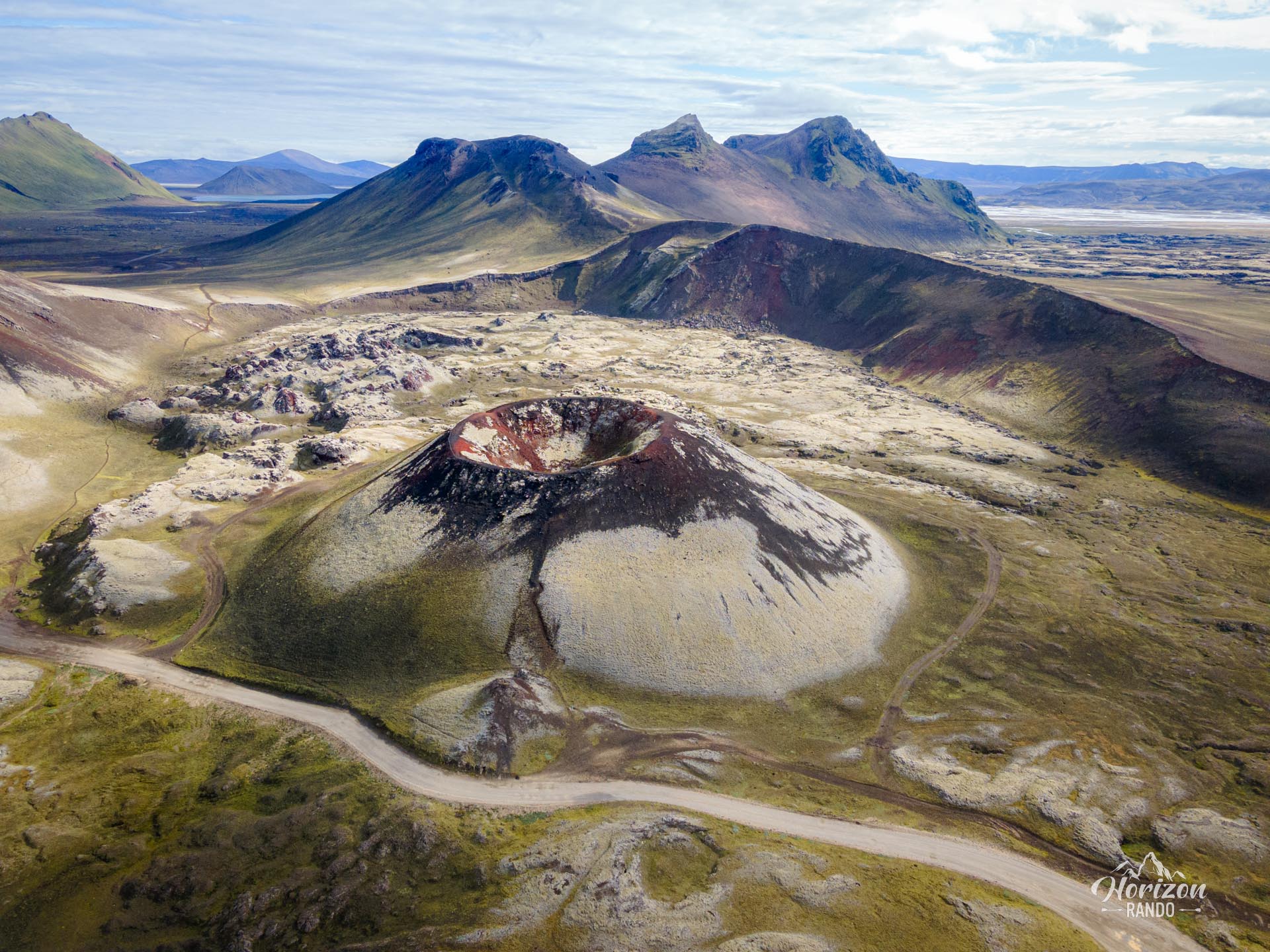
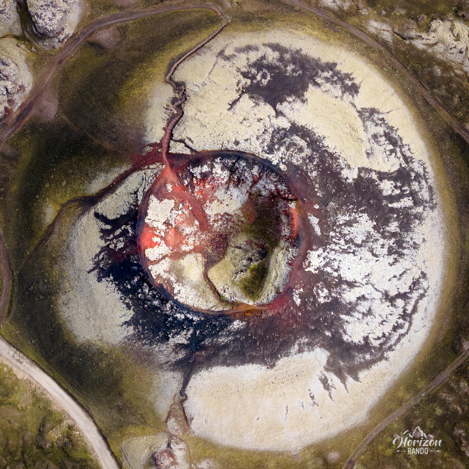
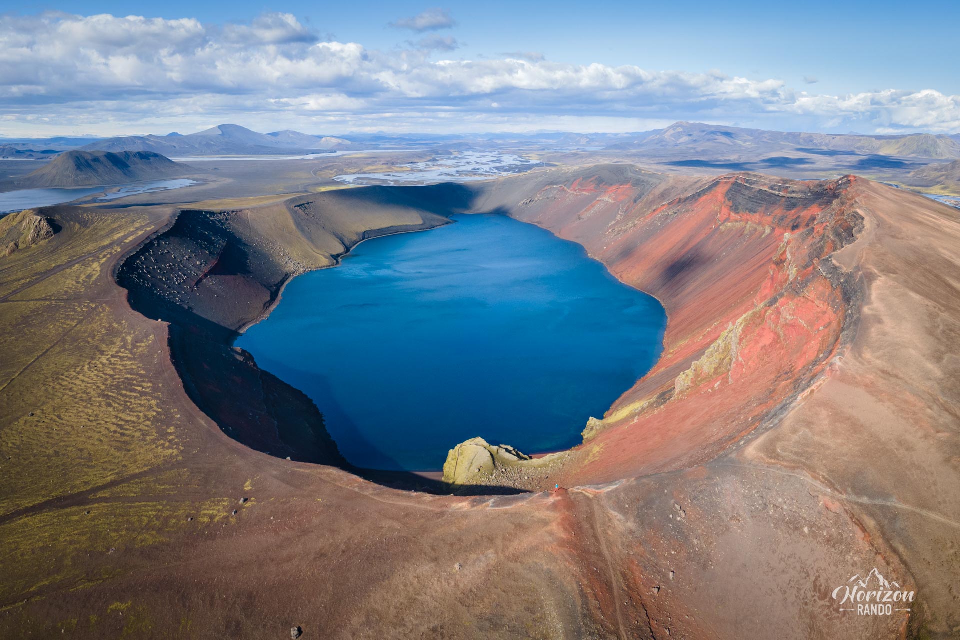
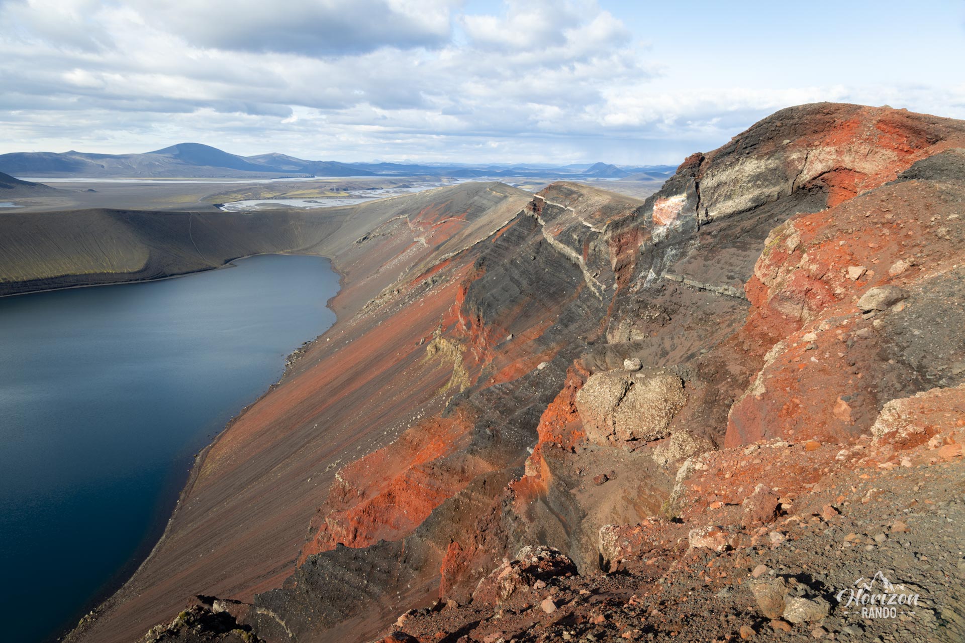
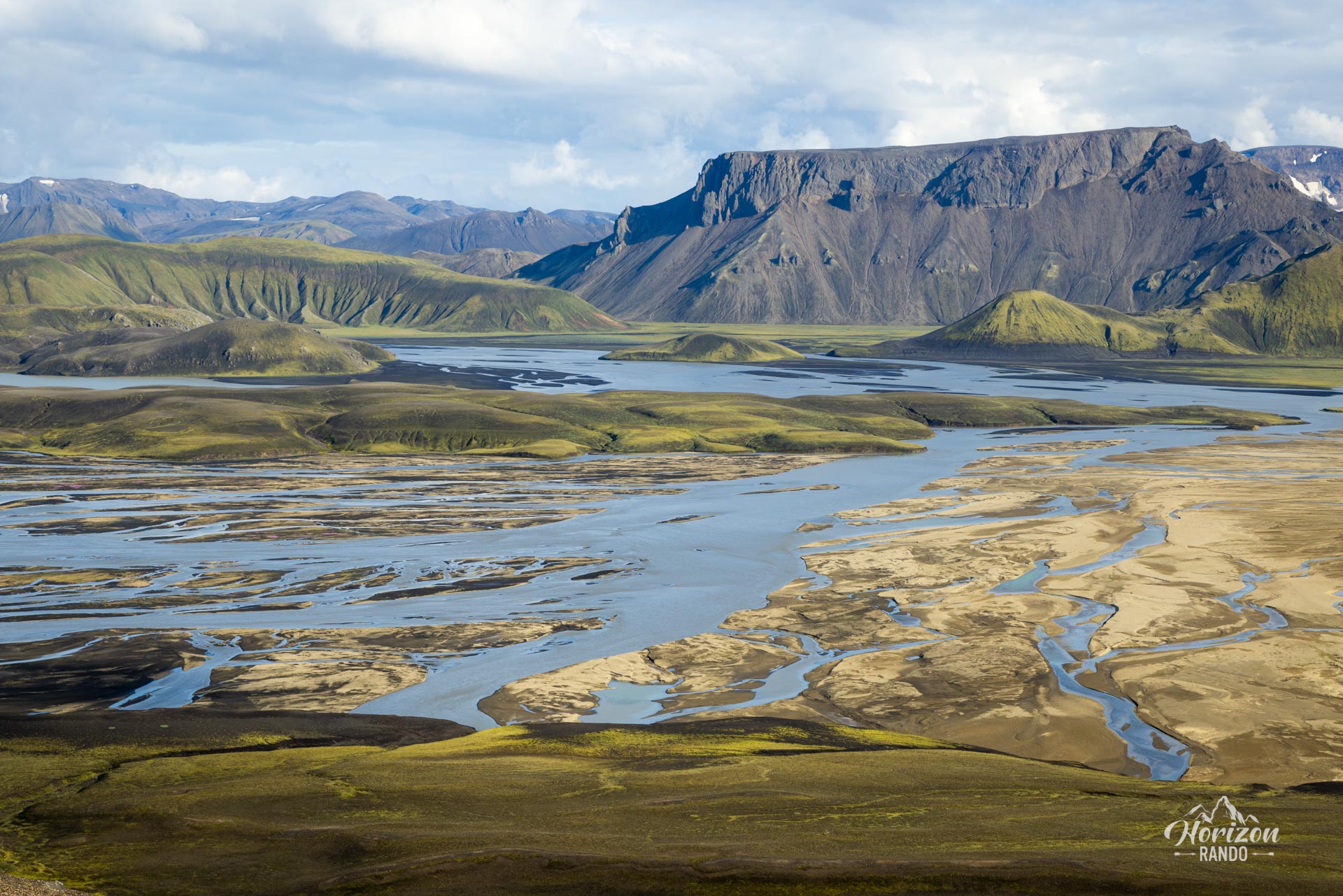
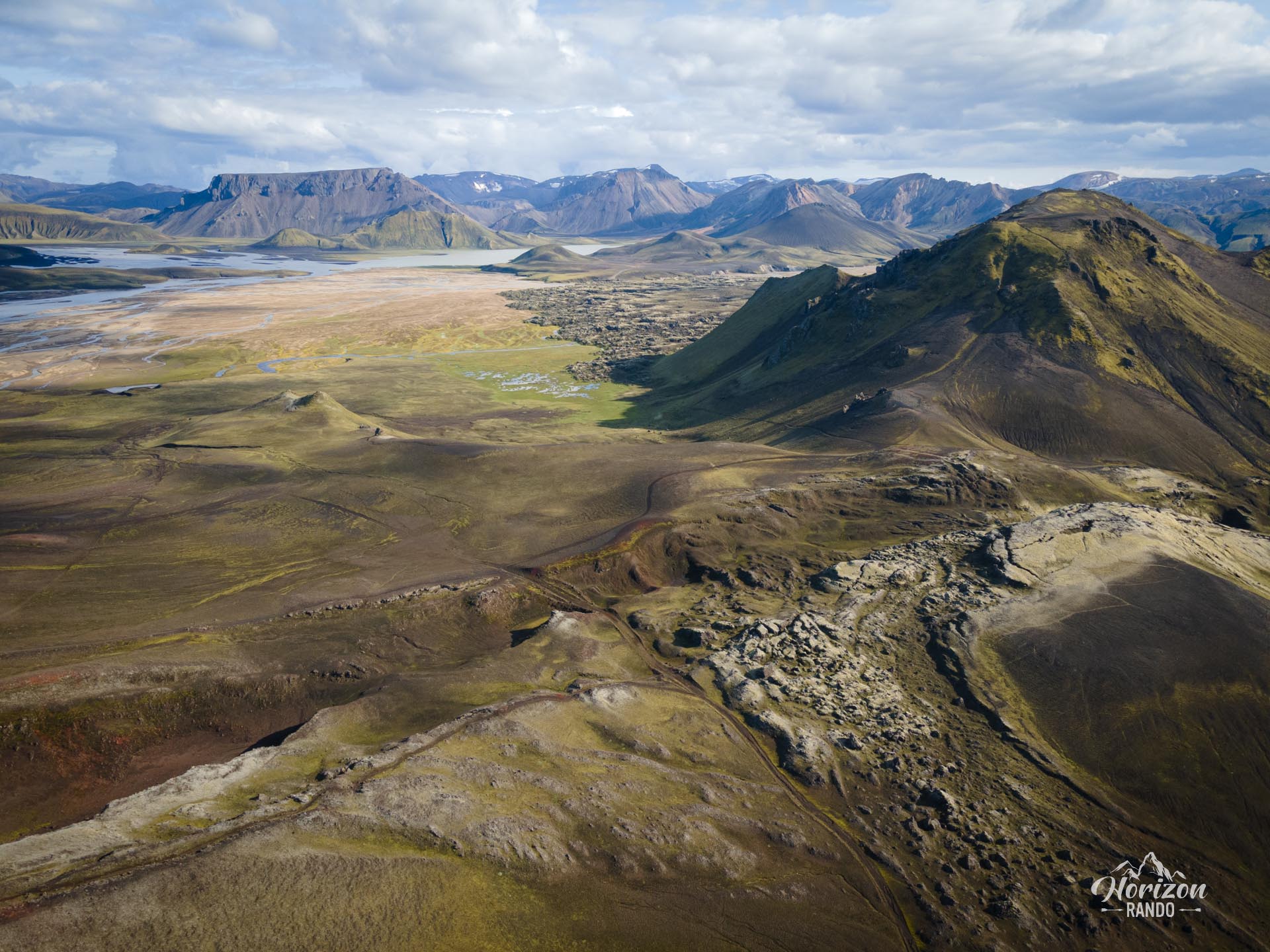
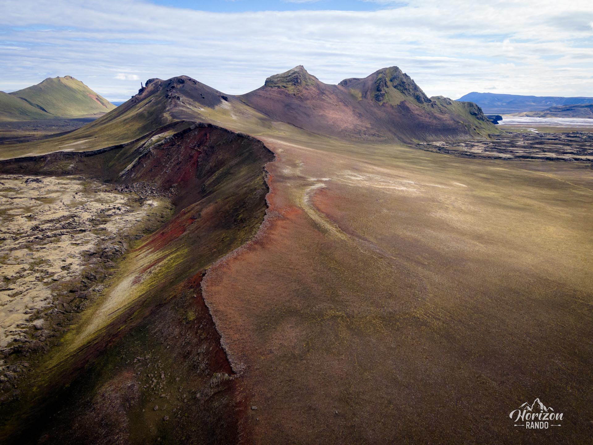
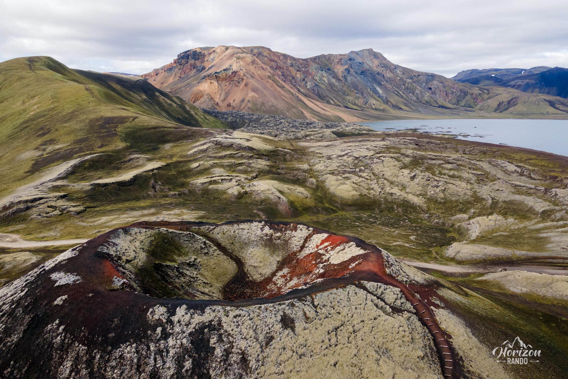
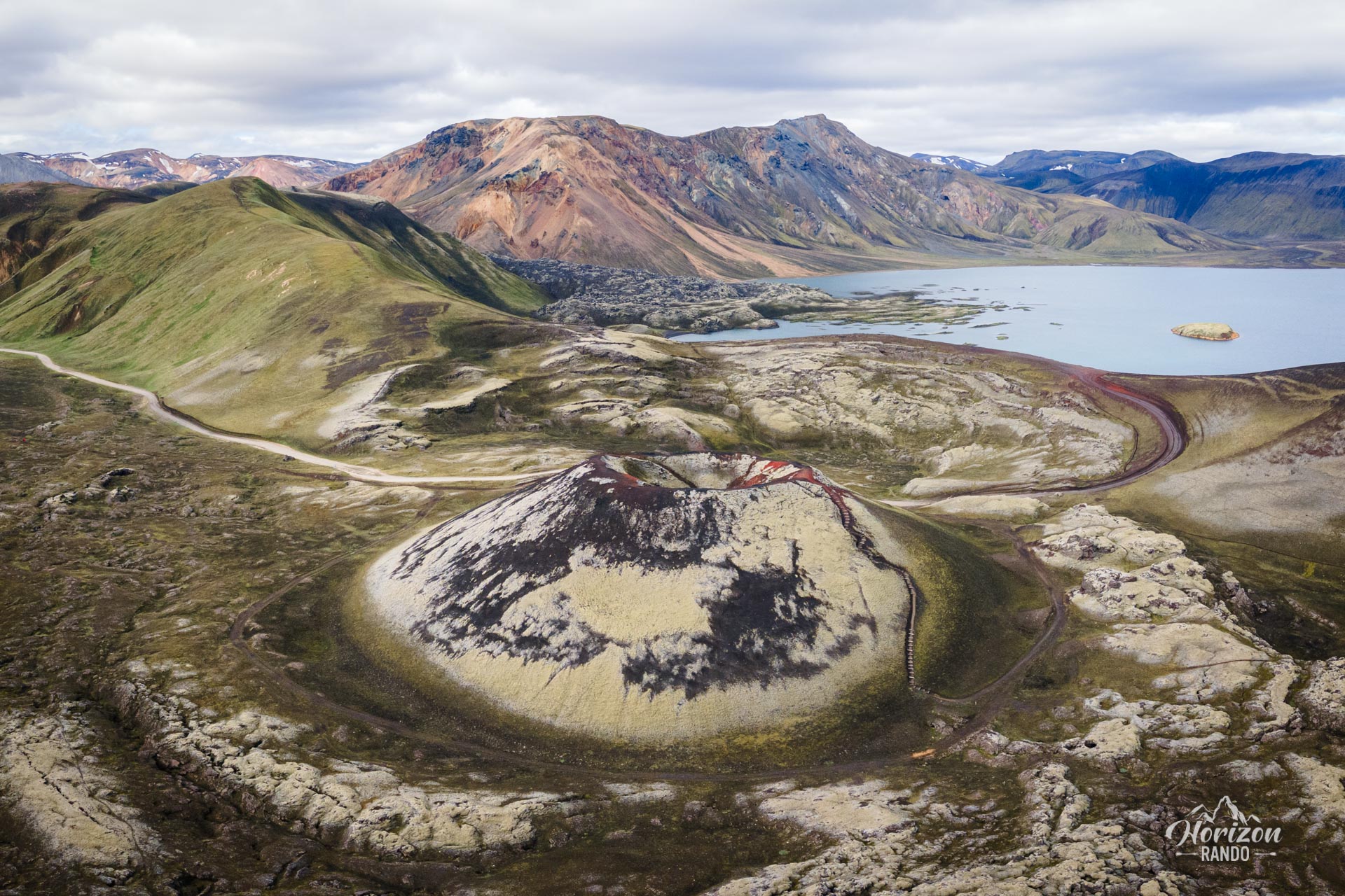
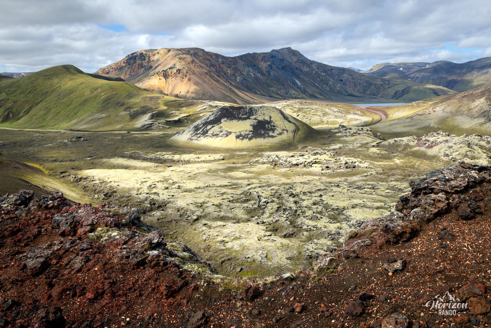
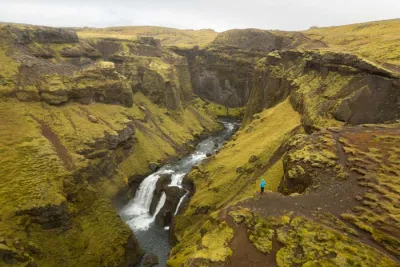
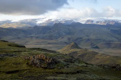
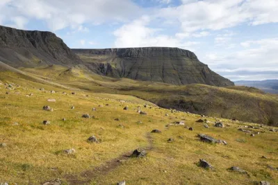
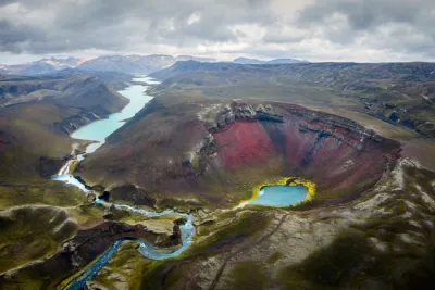
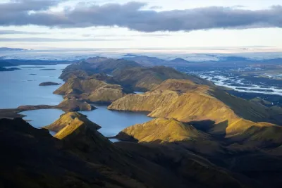
Ljótipollur is a volcanic crater formed by an eruption in 1477 that has gradually filled with water over the years. This hike is much less crowded than the popular trails in Landmannalaugar. Hikers will enjoy spectacular views of iconic Icelandic landscapes, including Lake Frostastaðavatn, the Stútur crater, and the Ljótipollur crater and lake.
If you only have one day in the area, this is not the ideal route. It's better to choose one of Landmannalaugar's iconic hikes to discover the region's extraordinarily colorful mountains. However, if you have several days and want to get off the beaten path, this hike is an excellent option. Once you reach Ljótipollur, you can walk around the crater and enjoy magnificent panoramic views. For more information, see the Ljótipollur Crater Hike page. Allow an extra four kilometers for this loop.
Note that if you are coming by car, the F208 road passes close to most of the viewpoints on this hike. You can find more information in the Ljótipollur Crater, Frostastaðavatn Lake, and Stútur Crater information sheets.
Map and elevation profile of the hike
Landmannalaugar to Ljótipollur Hike
Difficulties of the hike
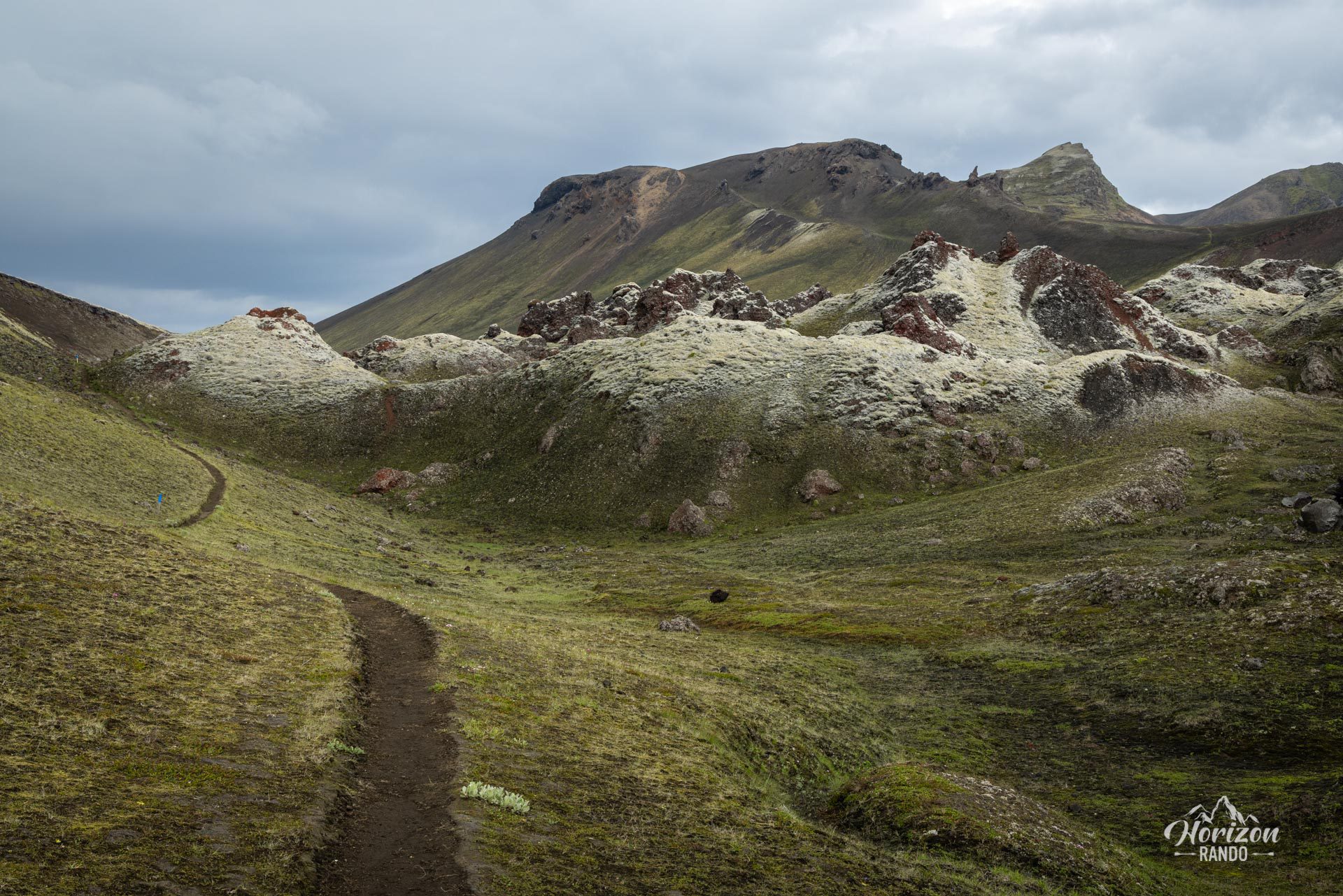
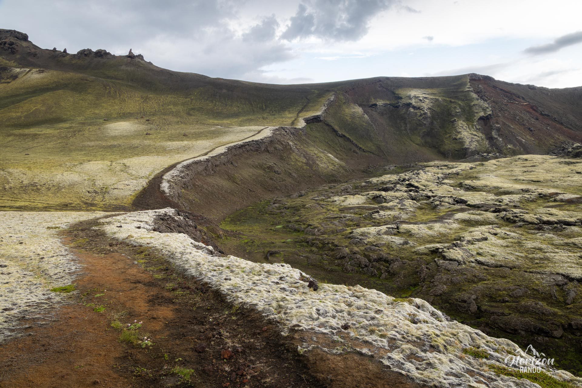
As with all Landmannalaugar hikes, this trail is well-maintained and clearly marked. It is an easy route with no technical difficulties that will stay with you long after you've finished it.
What you'll love
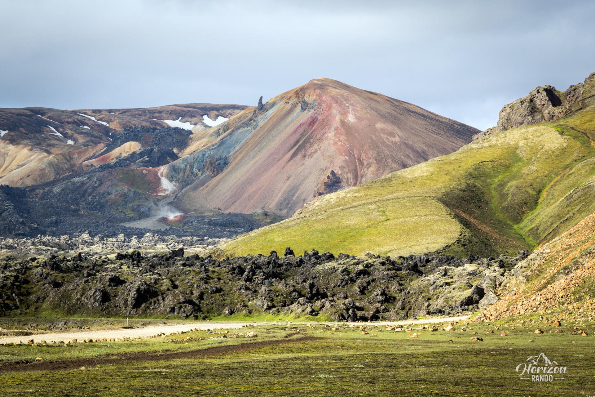
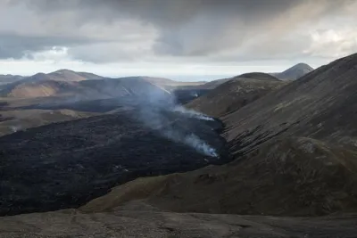
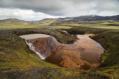
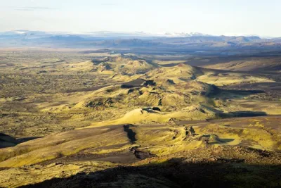
- A fascinating geological journey: You will encounter many geological curiosities, including the Námshraun lava field and the Stútur and Ljótipollur craters.
- An intimate route: This hike is a quieter alternative to the busy trails of Bláhnúkur or Brennisteinsalda.
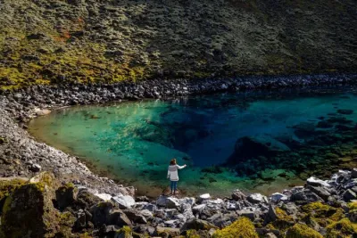
- Striking color contrast: The bright red slopes of the Ljótipollur crater create a striking contrast with the intense blue of the lake.
- Extension option: Once you reach Ljótipollur, you can walk around the crater to enjoy magnificent panoramic views.
Practical information
Getting to Landmannalaugar
The roads in the highlands are only open in the summer. Several bus companies provide connections to Reykjavik. If you prefer to drive, you will need a 4WD vehicle to travel on F-roads. There are three options available to you:
- The F208 road from the north: the easiest option, with no river crossings.
- The F225 road: more picturesque but requires crossing several shallow rivers.
- The F208 road from the south: crosses several medium-depth rivers.
See my dedicated page on driving in the Highlands for more information.
Parking
It is now necessary to reserve a parking space before your arrival.
Hiking in Landmannalaugar
Check out my Landmannalaugar guide to help you choose your hikes.
Photos
See all 20 photos →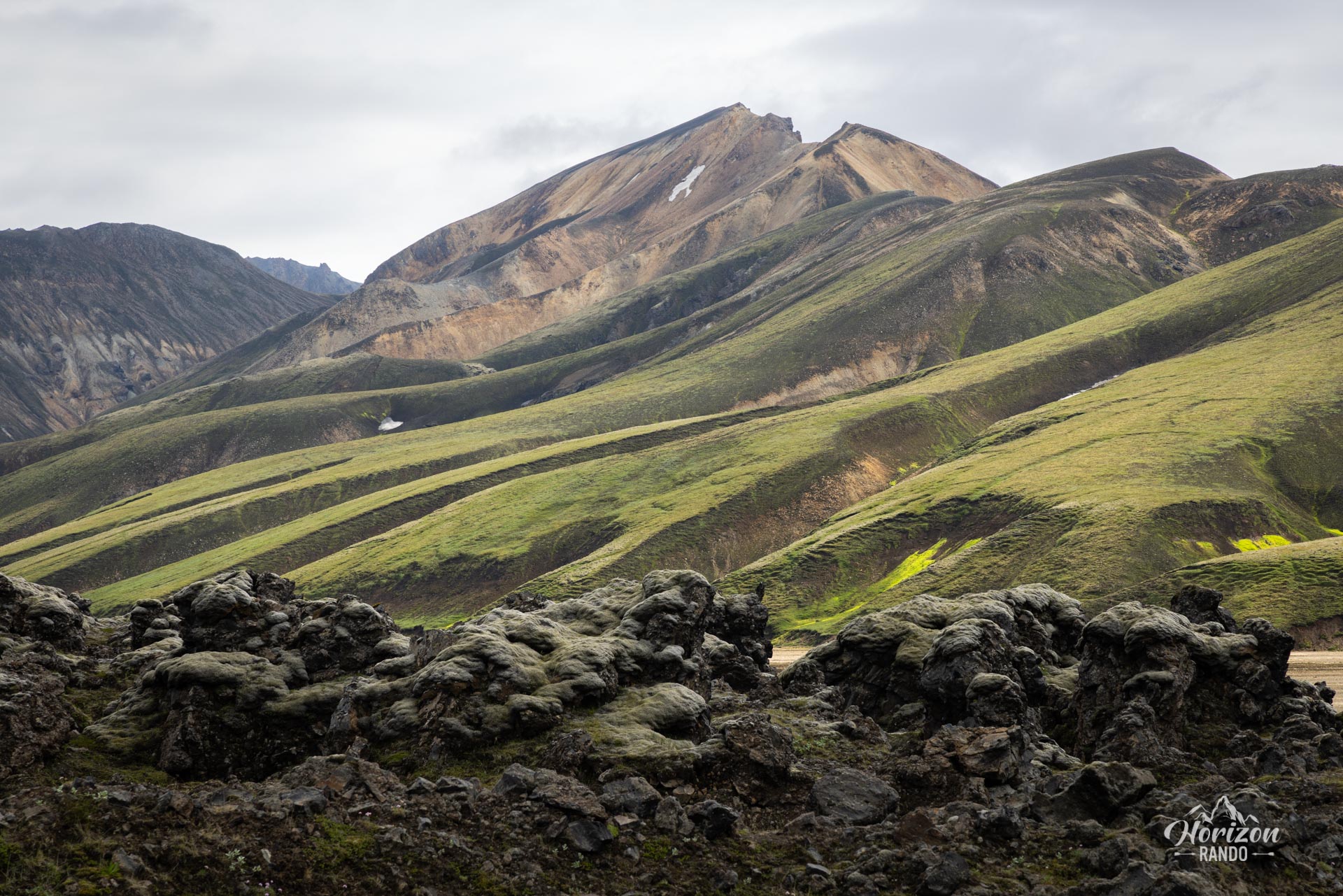
More hikes to do in Iceland
Nearby hikes














Printed from www.horizonrando.fr/en/iceland/landmannalaugar-ljotipollur/