





Svartifoss Waterfall Hike
Key facts about the hike
- Difficulty
- Easy Hikes are rated from very easy to very hard: my difficulty scale
- Duration
- 1h45 Estimated time, short breaks included (photos, water, snacks), picnic not included: how it is calculated
- Distance
- 4.5km
- Elevation gain
- 200m
- Type of route
- Loop
- Maximum altitude
- 265 m
- Vertiginous Five levels, depending on how exposed the route is: the levels in detail
- No
- Marked
- Yes
- Popularity
- Moderate
- Region
- South
- Start point
- 64.01635, -16.96725
- Activity
- Hiking
Hike overview
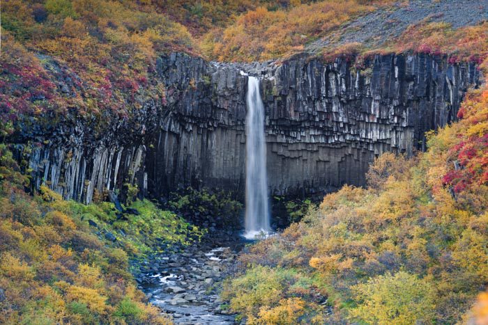
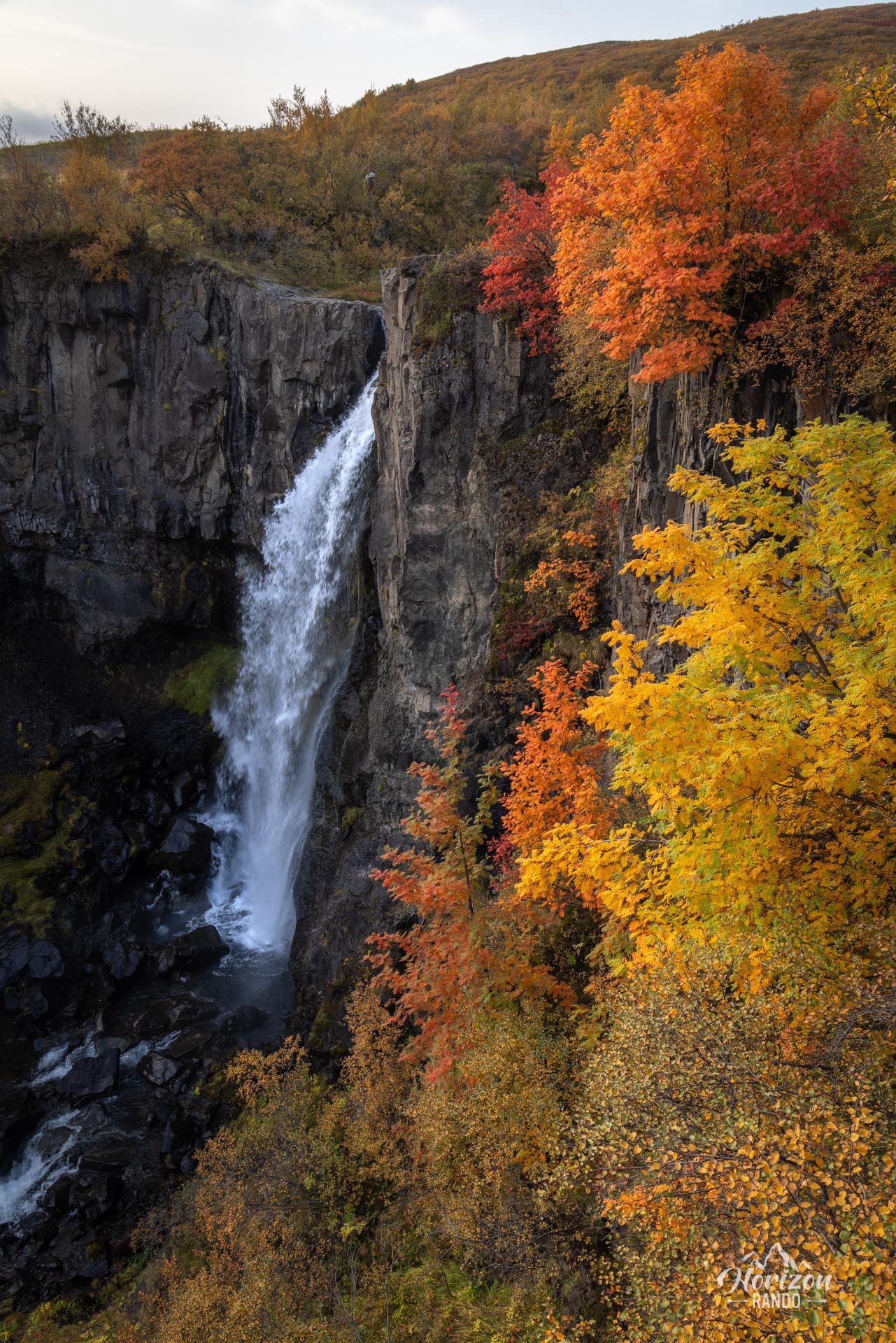
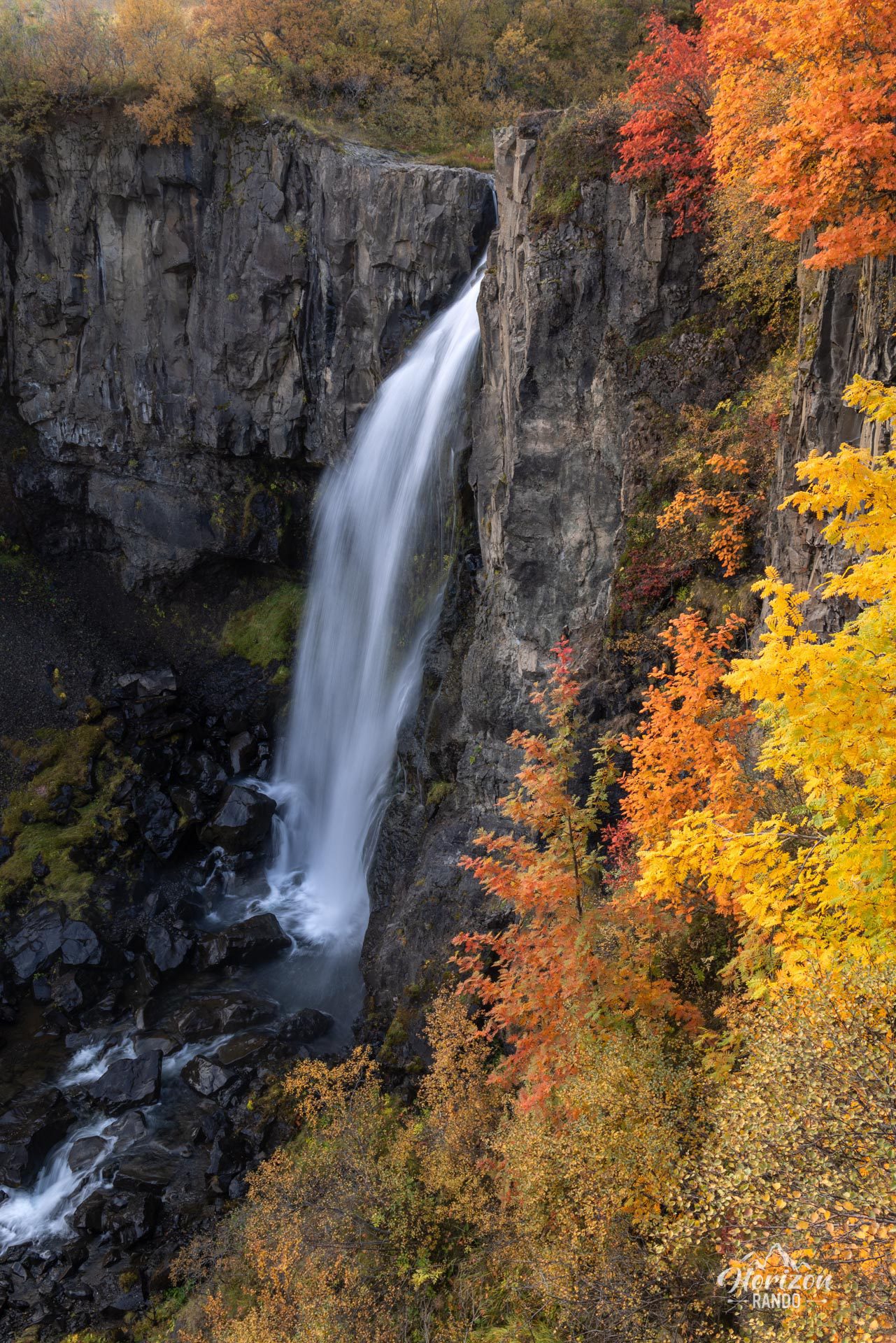
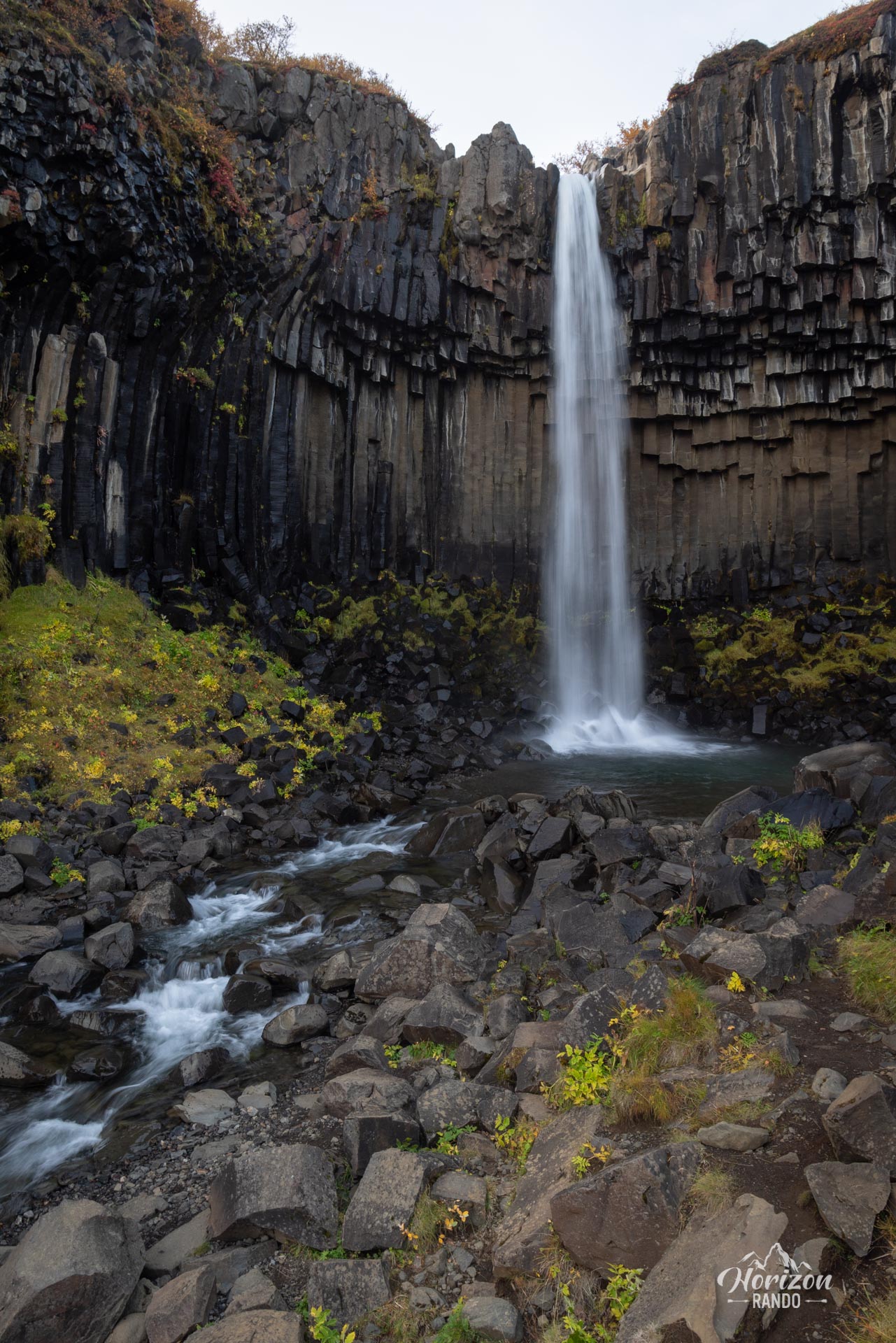
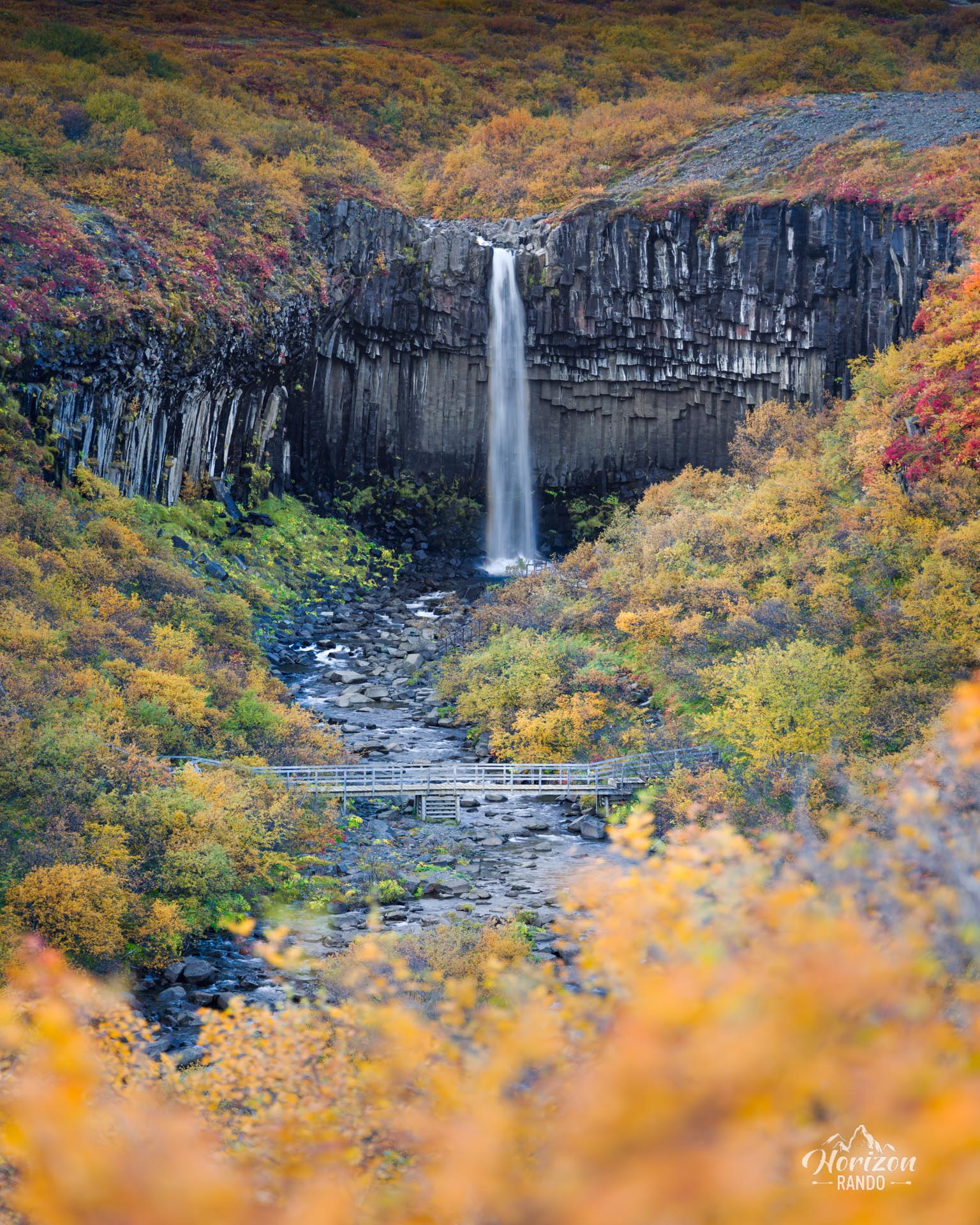
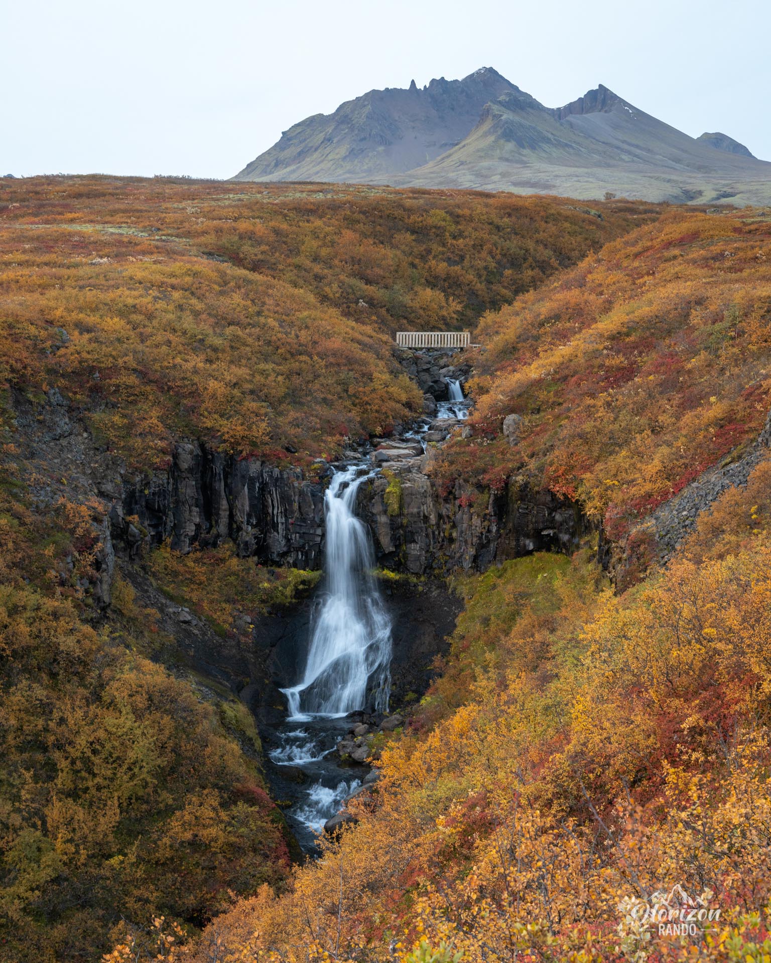
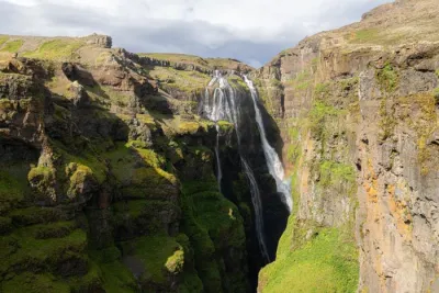
The hike to Svartifoss, Icelandic for "black waterfall," leads to one of the country's most photogenic waterfall. Fed by meltwater from the Svinafellsjökull glacier, the waterfall plunges 20 meters down a cliff lined by tall, black, hexagonal basalt columns on either side. Resembling the pipes of a giant organ, these spectacular geological formations inspired the architecture of the iconic Hallgrímskirkja church in Reykjavik.
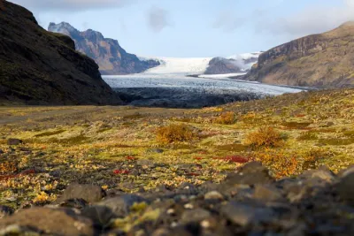
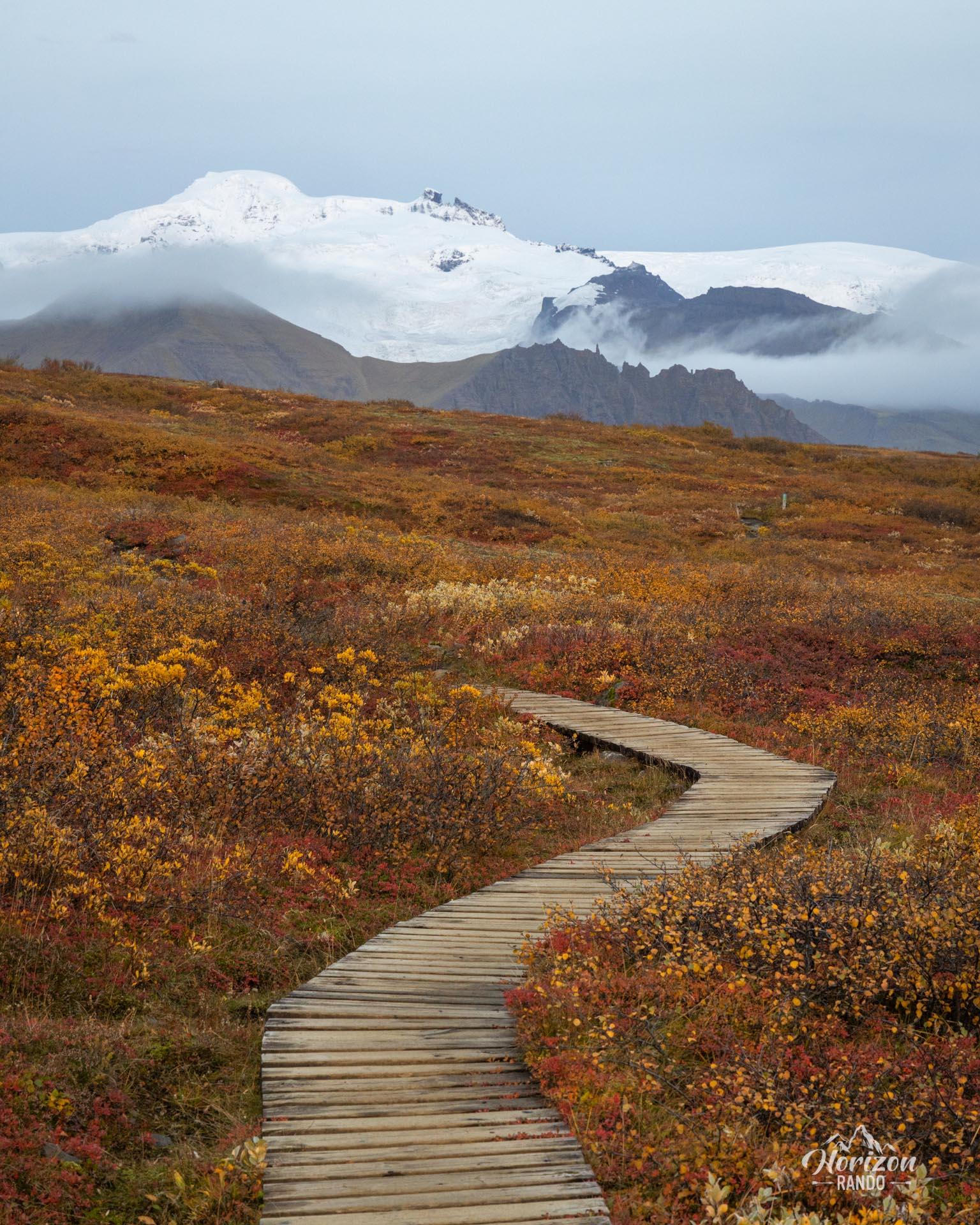
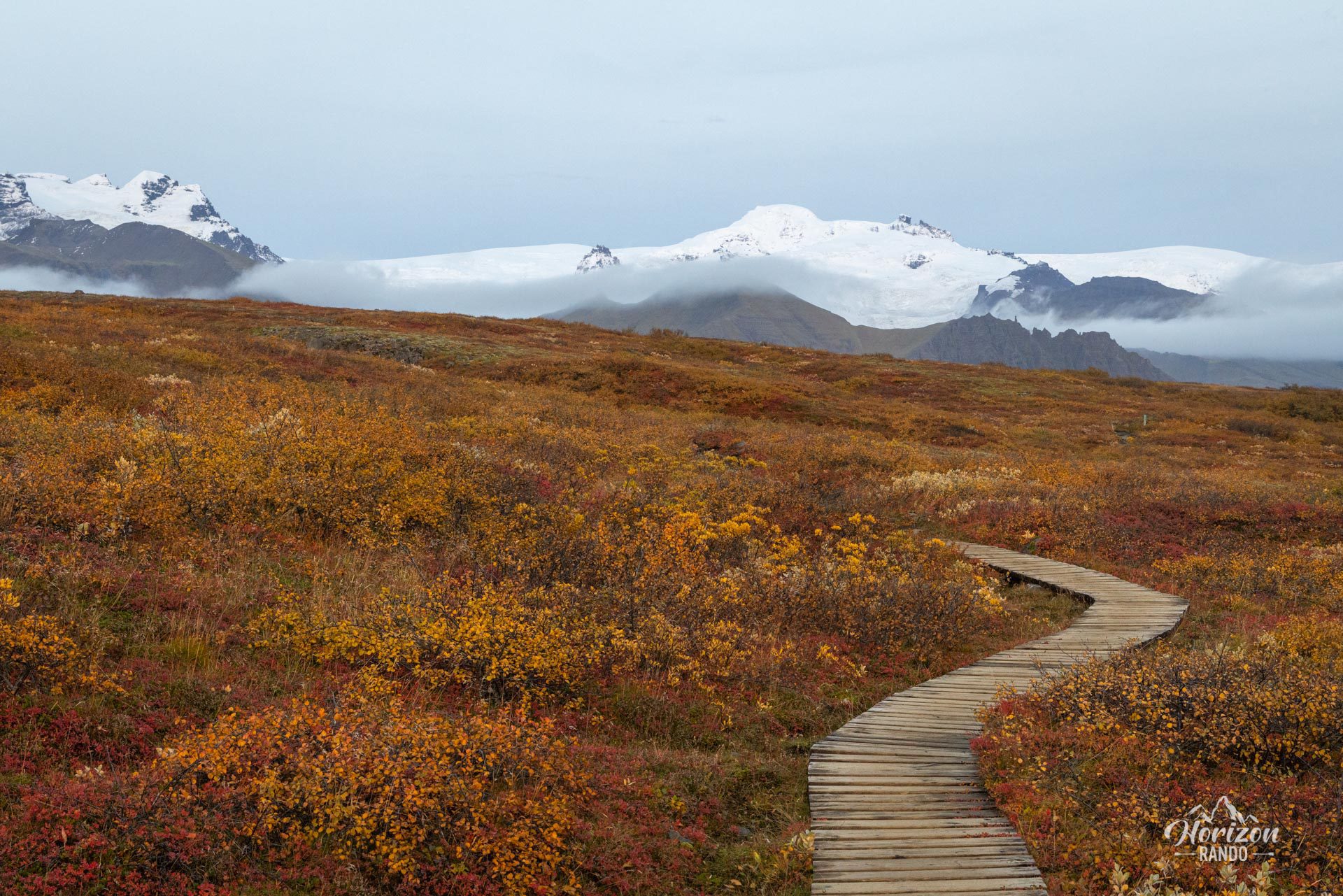
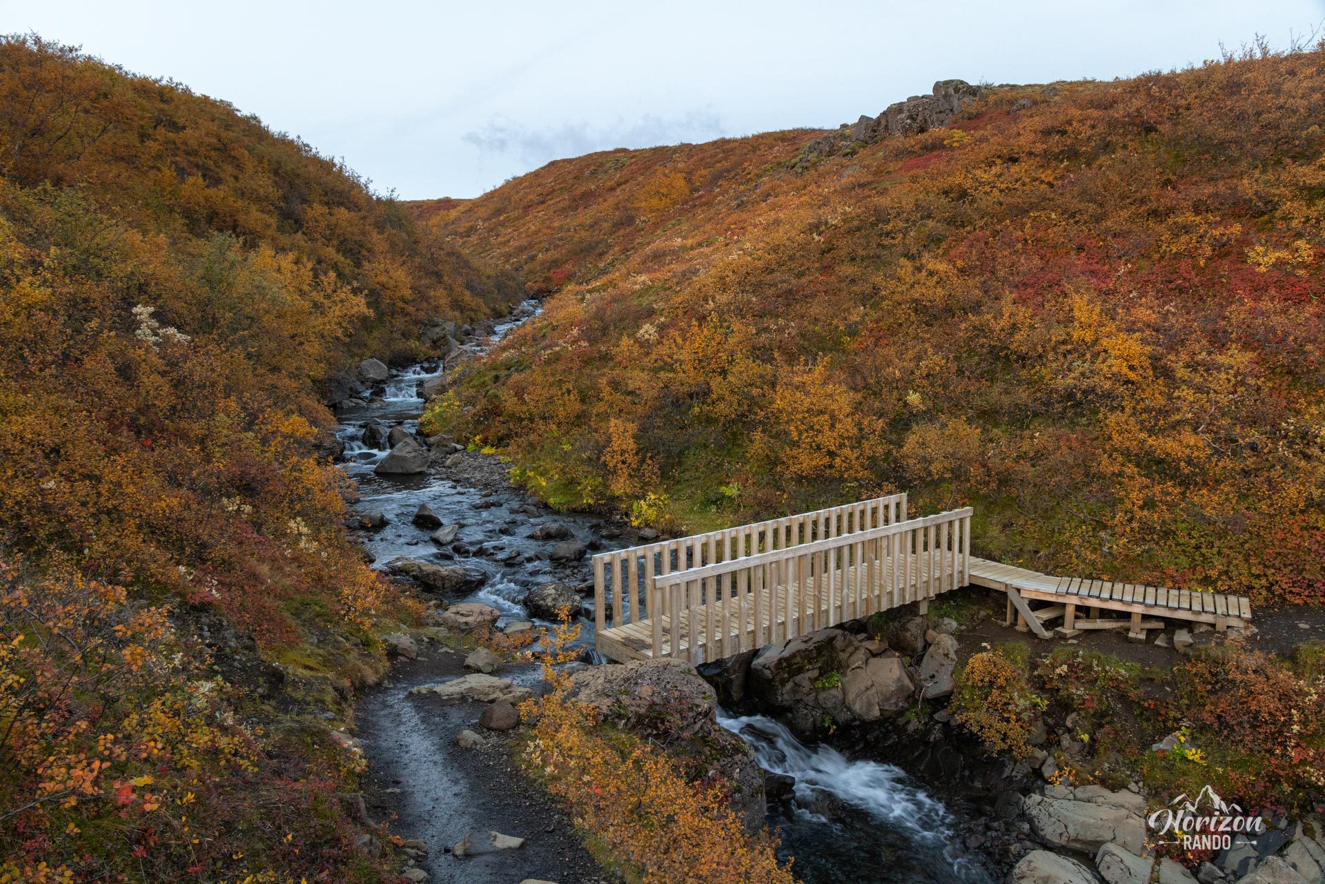
Along the way, you can enjoy the spectacle of several smaller waterfalls, and on the return trip, you can see Hvannadalshnjúkur, Iceland's highest peak.
Map and elevation profile of the hike
Svartifoss Waterfall Hike
Difficulties of the hike
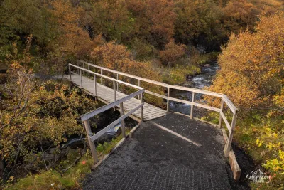
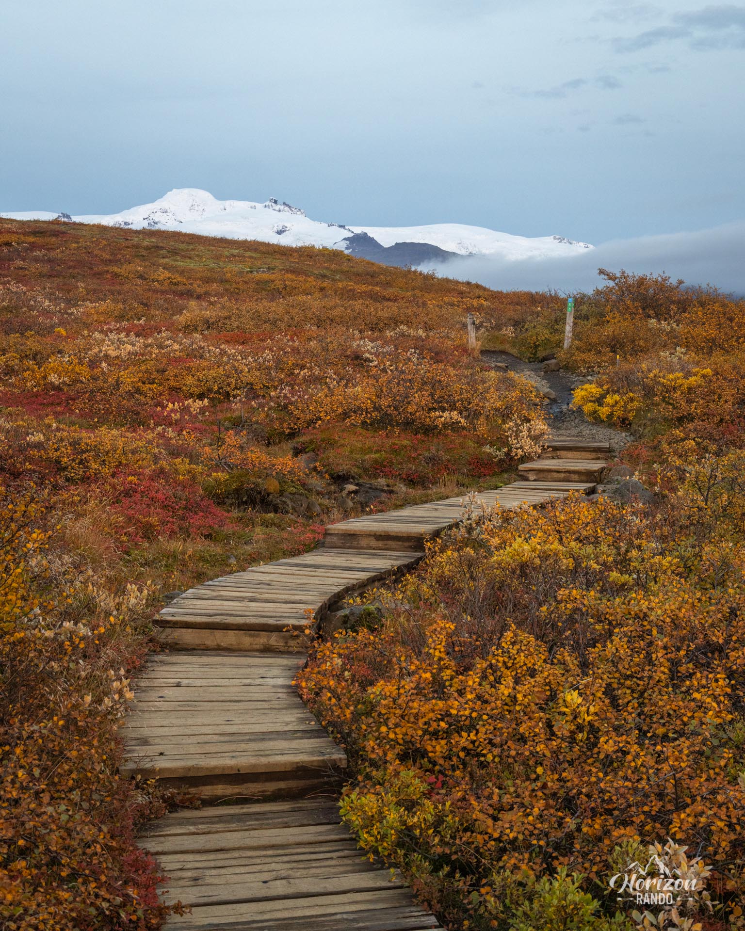
The Skaftafell Nature Reserve is home to numerous well-maintained and marked hiking trails. The trail to Svartifoss waterfall is no exception. The route is easy and perfect for families.
What you'll love
- The spectacular basalt columns framing the waterfall: These natural organ pipes create a unique setting and offer excellent photo opportunities.
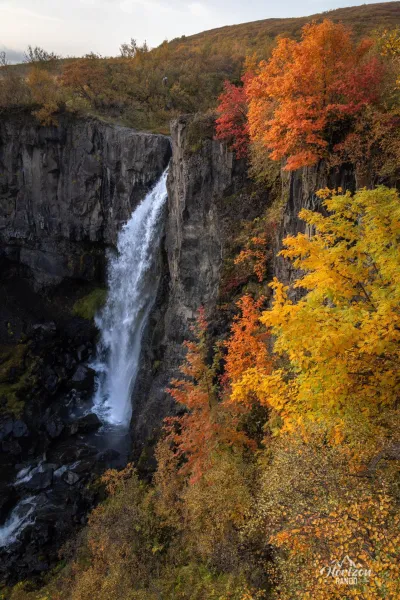
- The secondary waterfalls along the route: Hundafoss and Magnúsarfoss enhance the climb and provide welcome rest stops.
Practical information
Parking
There is paid parking at the Skaftafell Visitor Center (indicative price in 2025: 1000 ISK, about 7 euros).
Visitor center
The Skaftafellsstofa visitor center is open year-round. You will find rangers who can provide advice on the trails, as well as an exhibition on the region's geology and glaciers. There is also a souvenir shop and cafeteria.
Photos
See all 11 photos →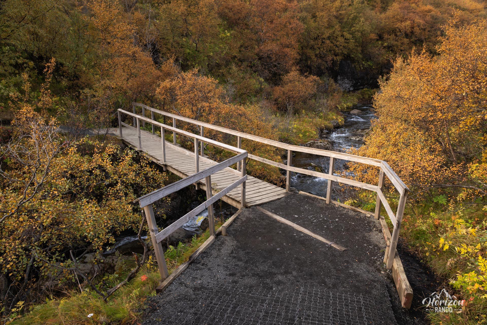
More hikes to do in Iceland
Nearby hikes
















Printed from www.horizonrando.fr/en/iceland/svartifoss-waterfall/