






Hvannárgil Hike
Key facts about the hike
- Difficulty
- Easy Hikes are rated from very easy to very hard: my difficulty scale
- Duration
- 2h Estimated time, short breaks included (photos, water, snacks), picnic not included: how it is calculated
- Distance
- 4.9km
- Elevation gain
- 380m
- Type of route
- Loop
- Maximum altitude
- 509 m
- Vertiginous Five levels, depending on how exposed the route is: the levels in detail
- Slightly
- Marked
- Yes
- Popularity
- Low
- Region
- Highlands
- Start point
- 63.67791, -19.48269
- Activity
- Hiking
Hike overview
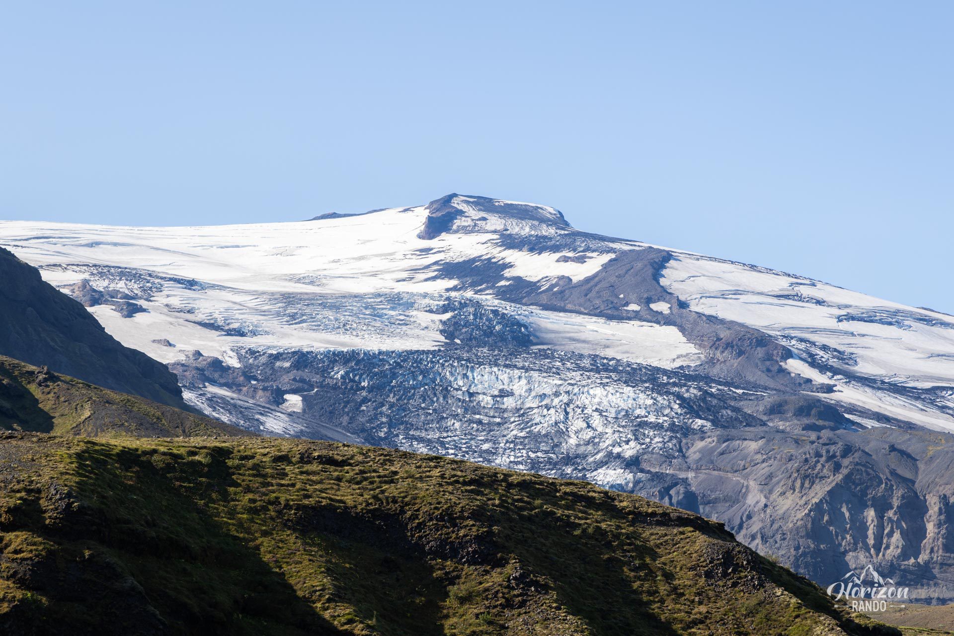
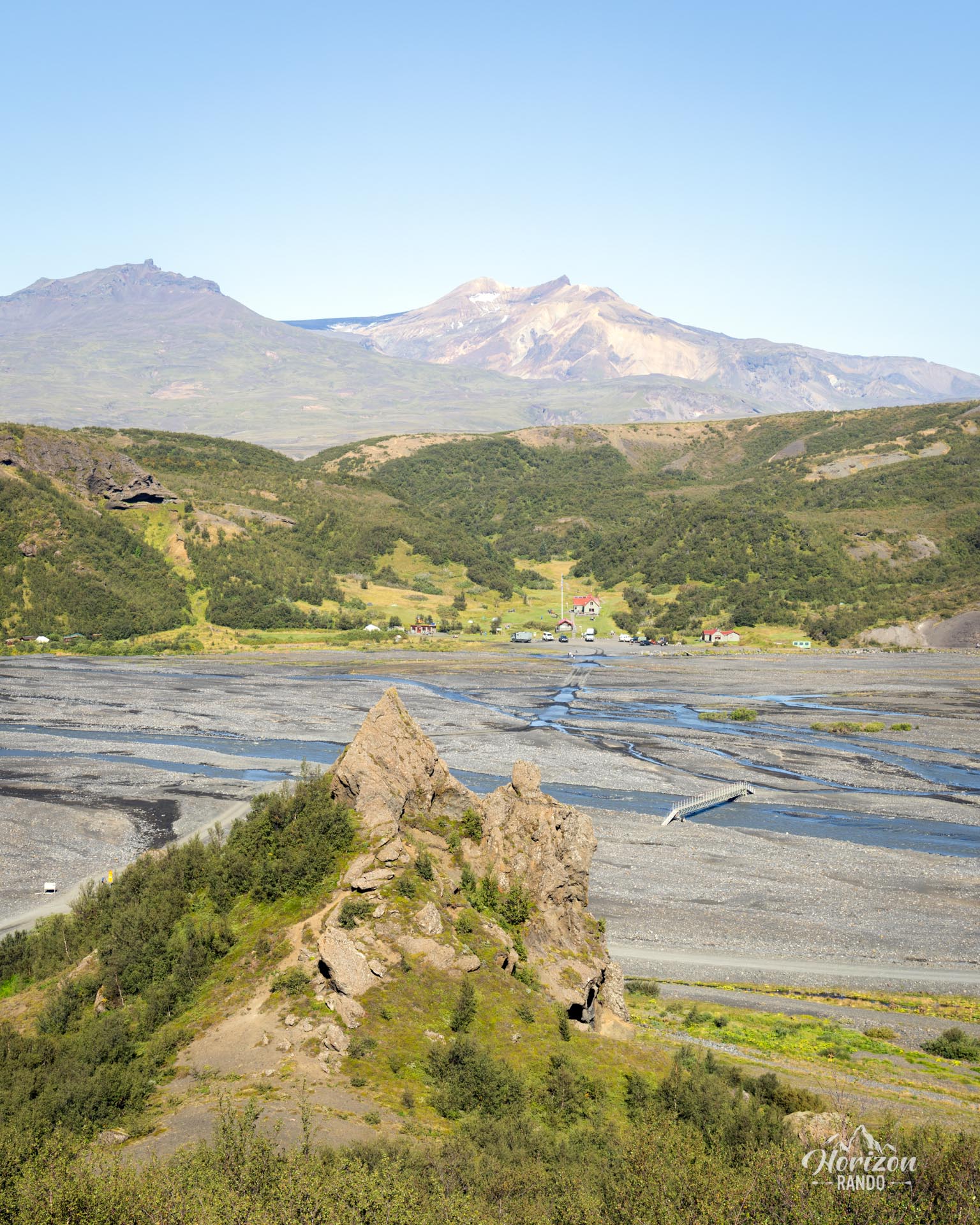
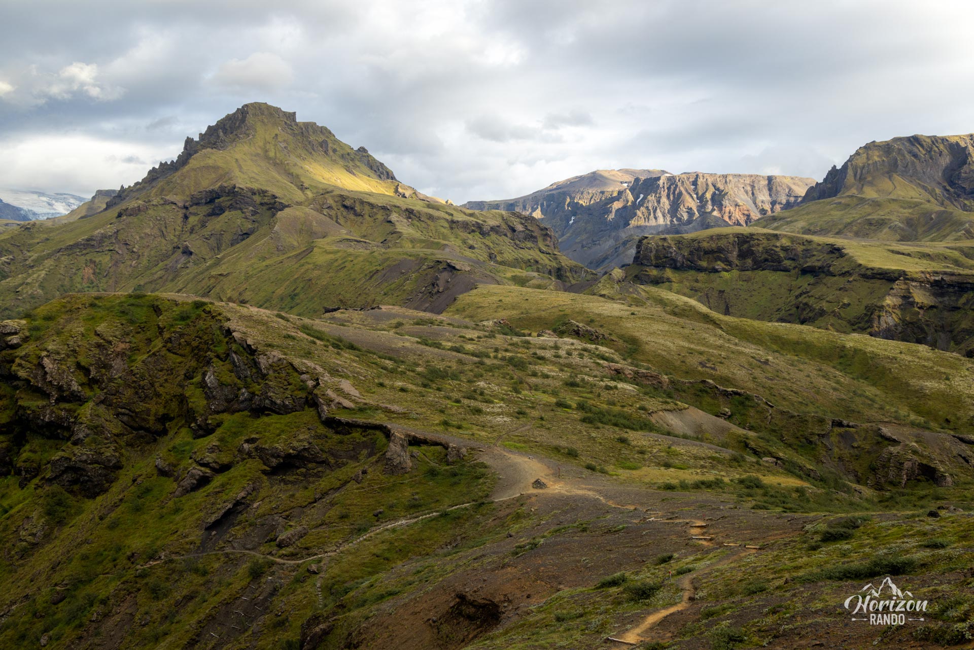
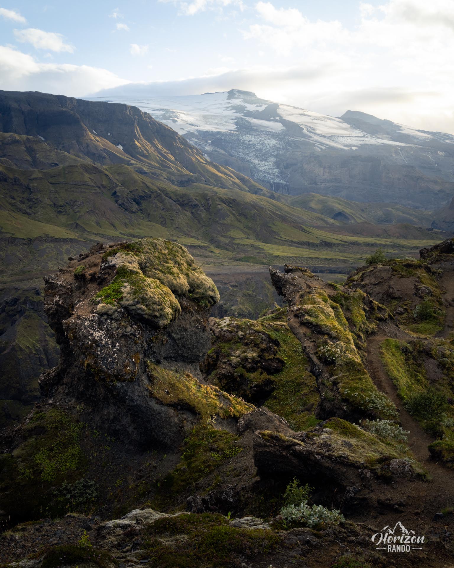
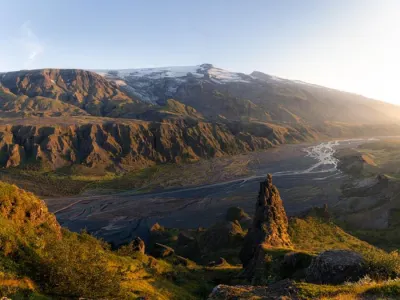
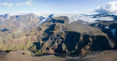
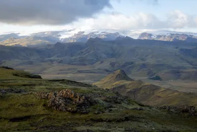
The Hvannárgil hike begins in Thórsmörk (Thor's Valley) named after the Norse god. Nestled between the Myrdalsjökull and Eyjafallajökull ice caps in the highlands, this wild region is a favorite place of Icelanders and a true paradise for hikers. Sheltered from Atlantic winds, the valley has a surprisingly mild summer climate, which promotes lush vegetation, including numerous birch forests.
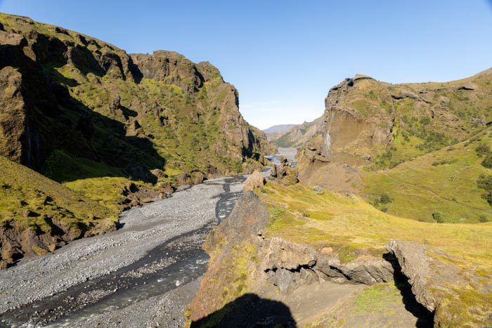
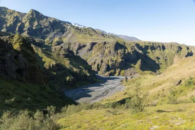
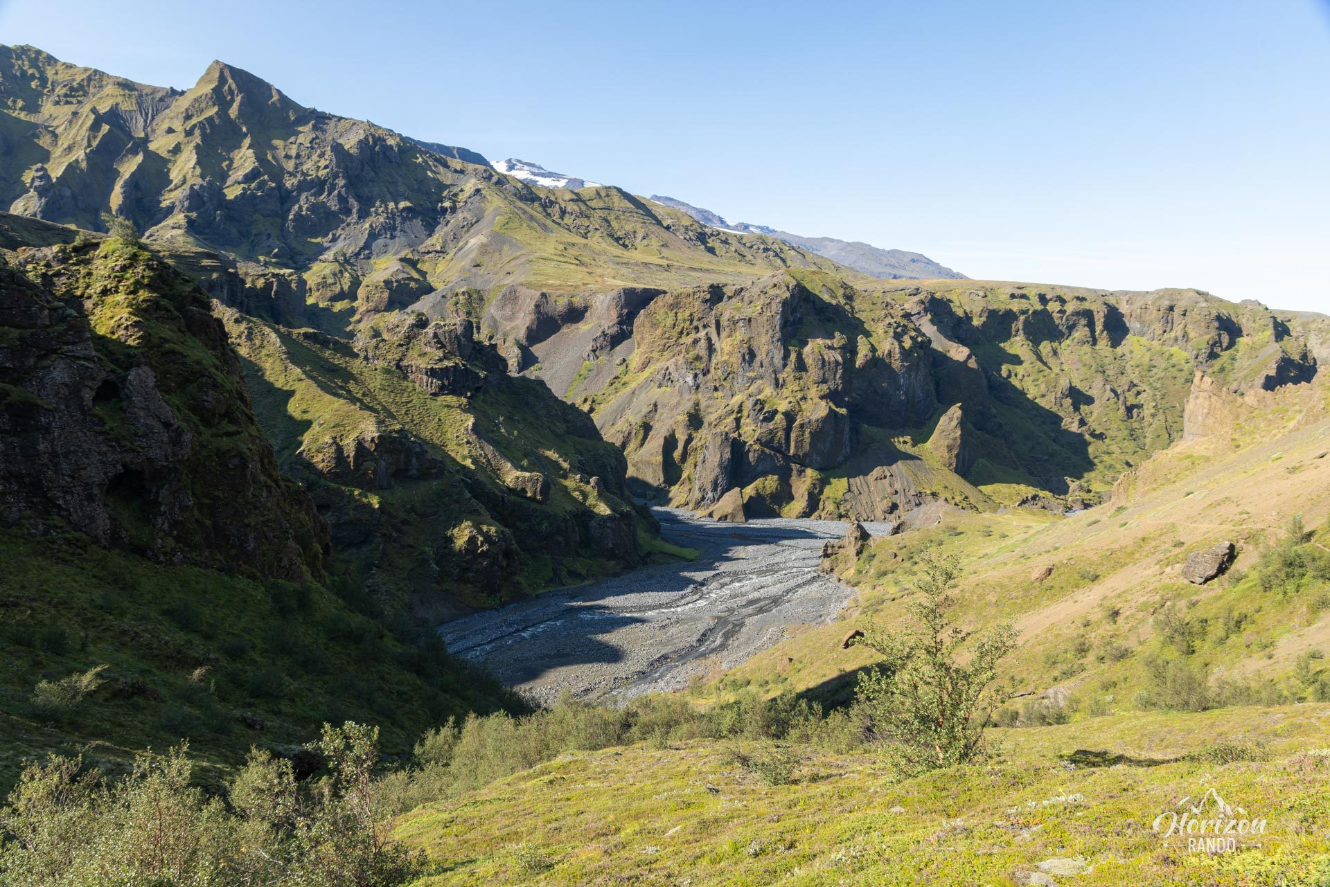
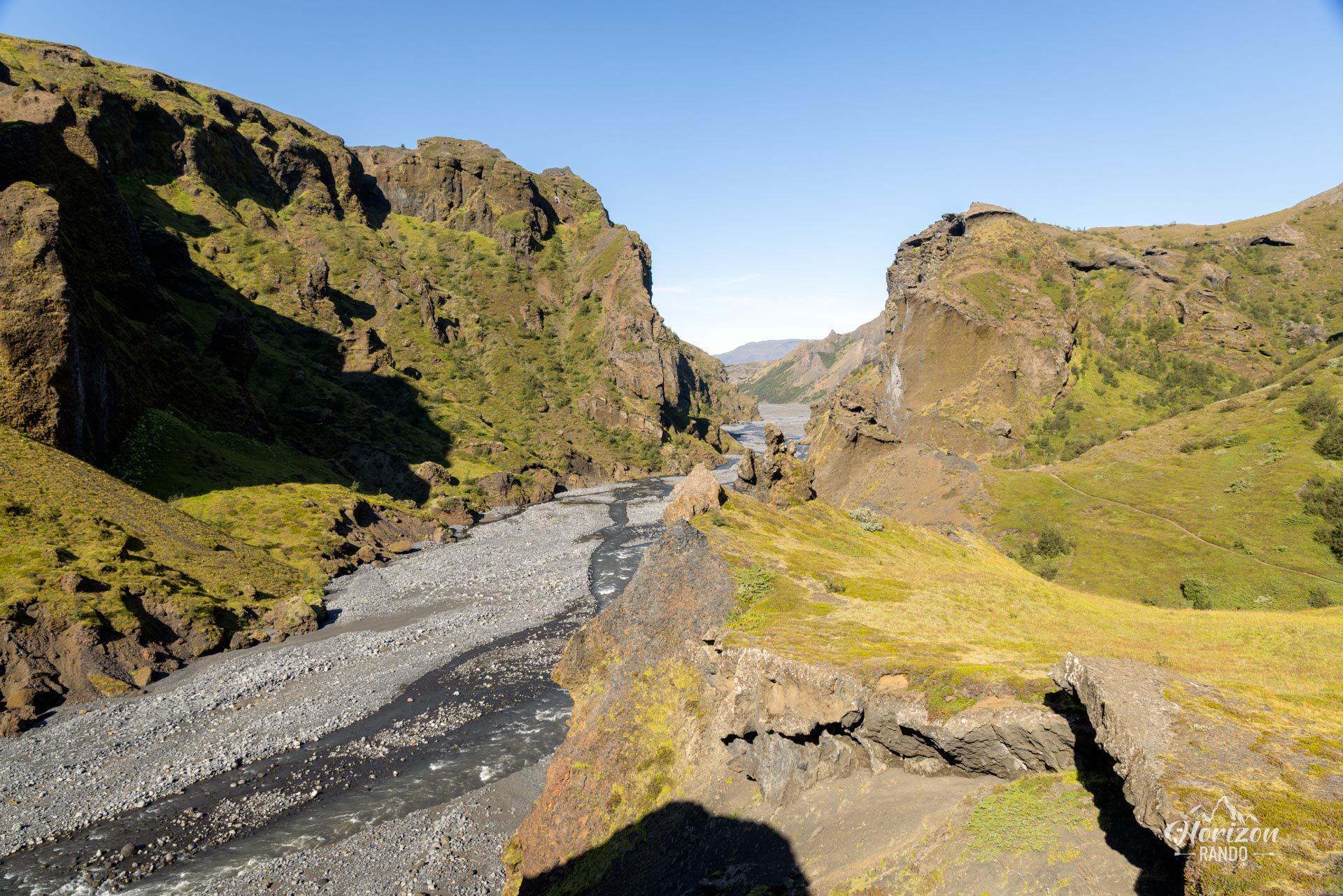
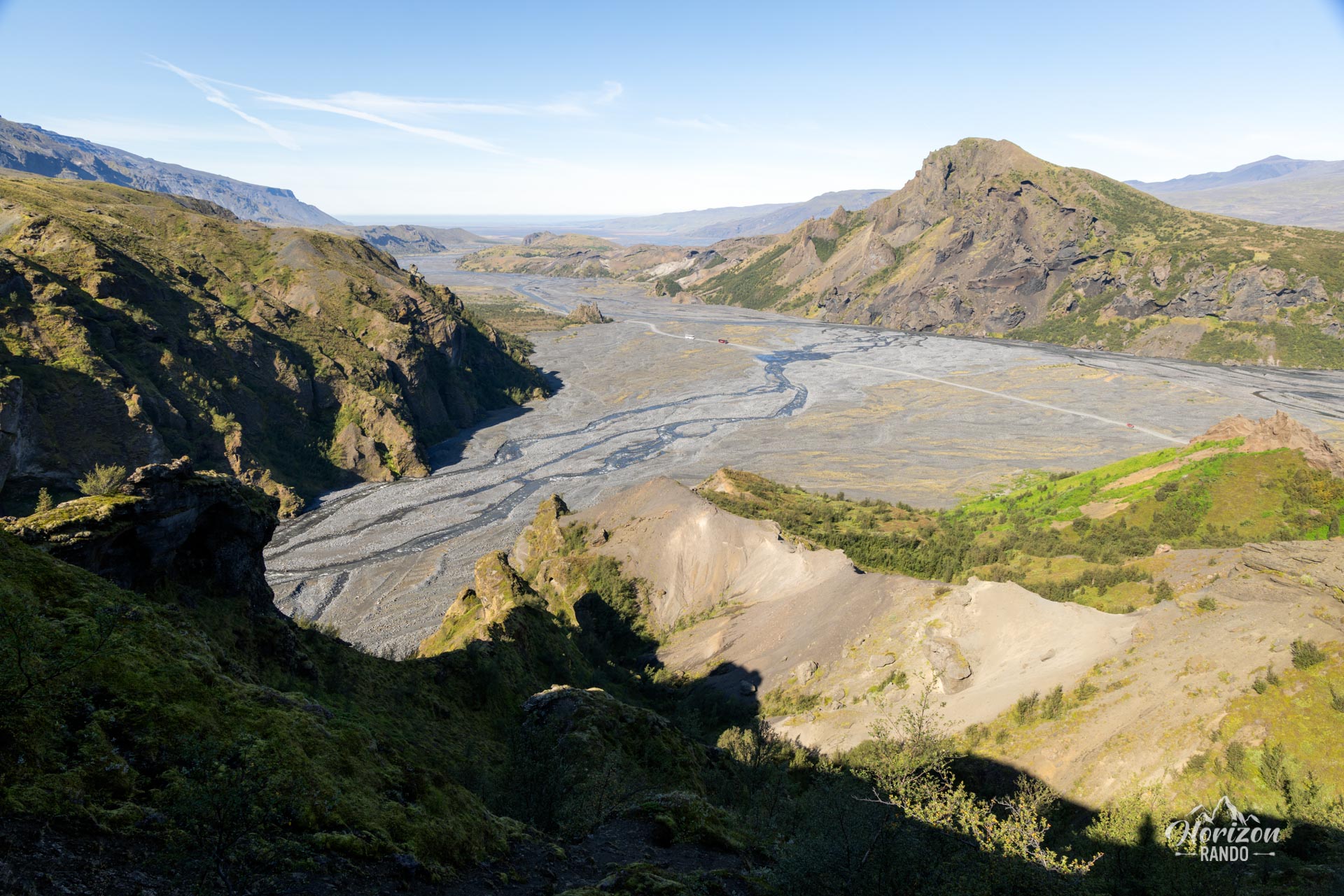
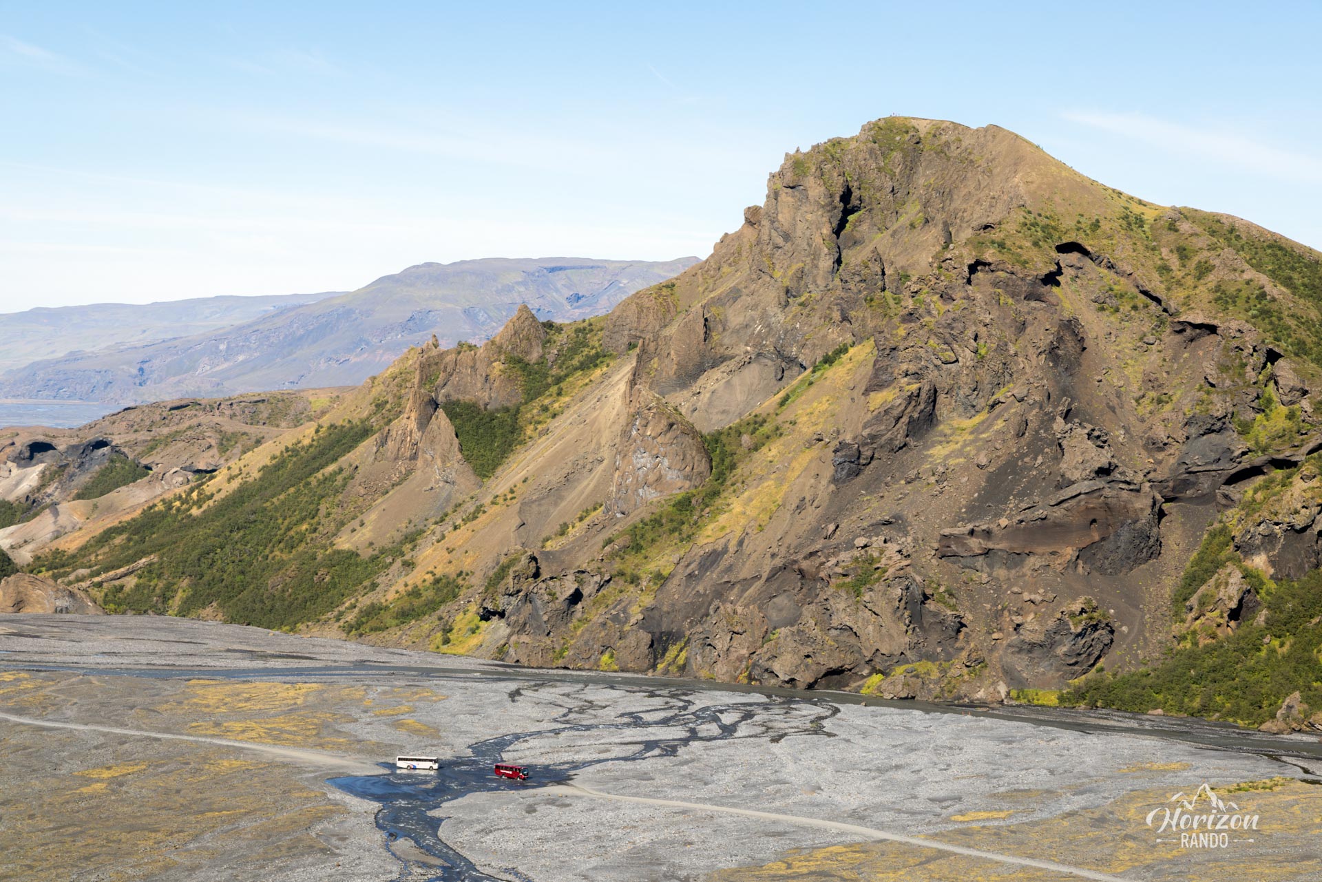
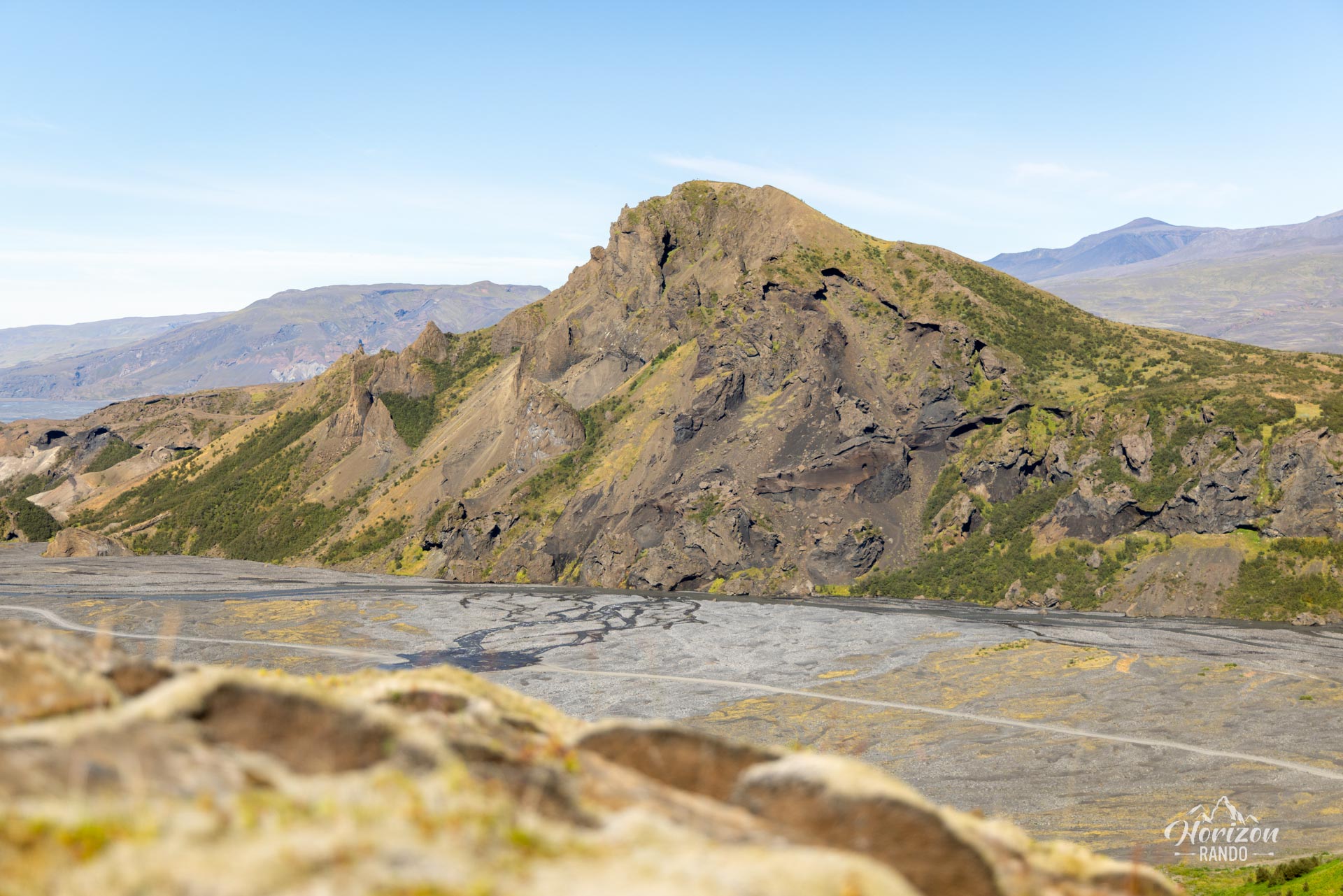
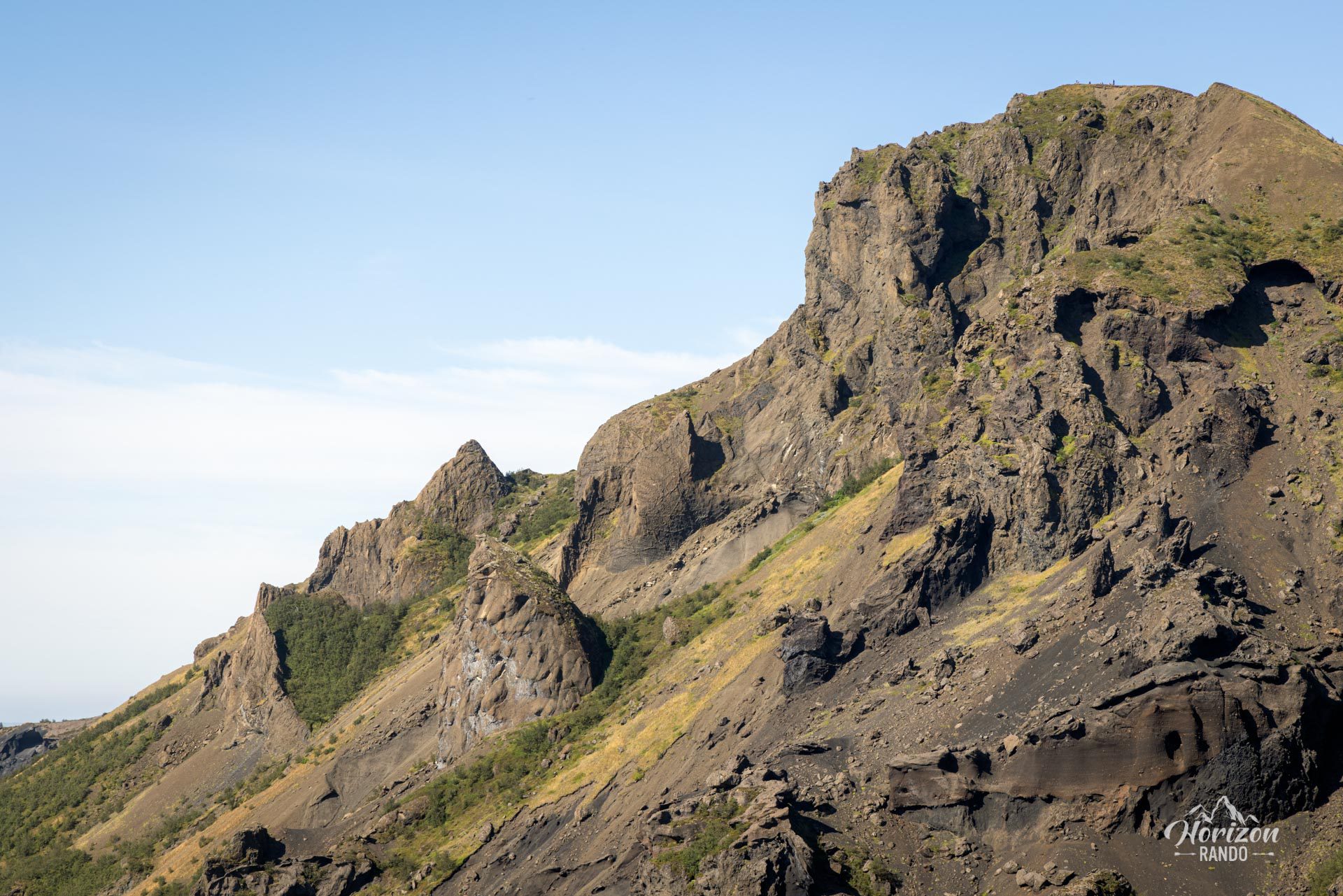
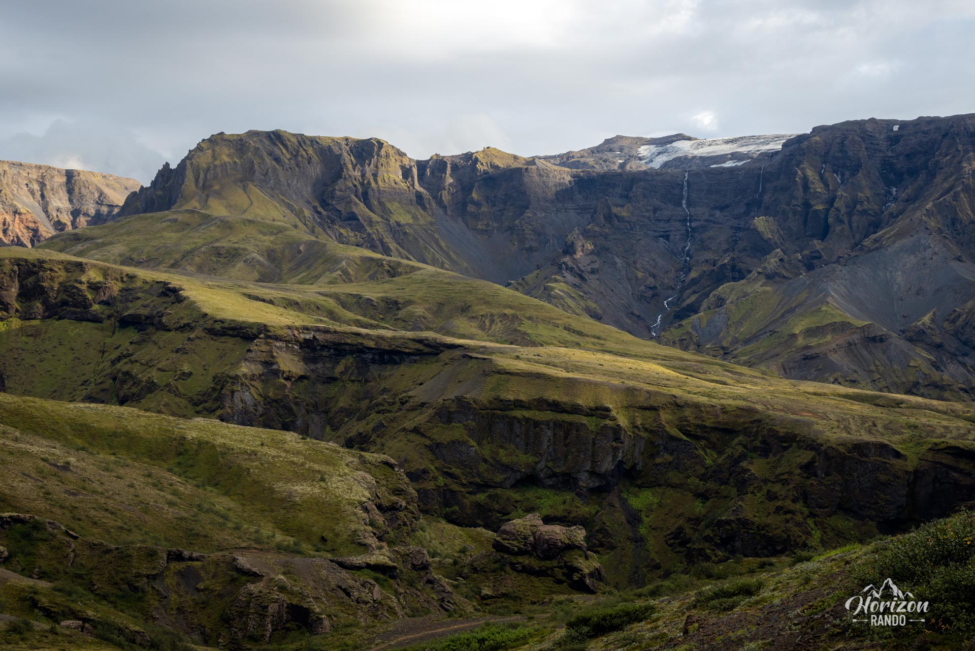
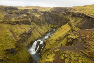
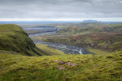
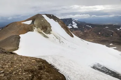
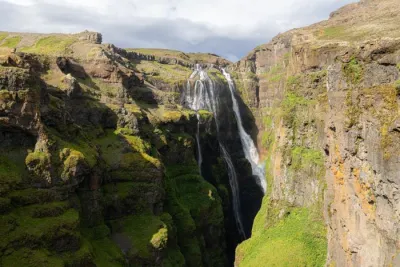
The hike includes a short detour to the summit of Réttarfell, also known as Vestrihattur, which offers spectacular views of the Thórsmörk valley. It then continues along the splendid Hvannárgil canyon, below which the Hvanná River winds its way between imposing cliffs.
Map and elevation profile of the hike
Hvannárgil Hike
Difficulties of the hike
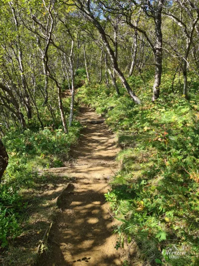
As with all hikes in the Thórsmörk region, the trail is well-maintained and clearly marked. This route presents no particular difficulty and is accessible to most hikers.
If you are starting from the Langidalur campground rather than from Básar, use the GPX file Hvannárgil from Langidalur.
What you'll love
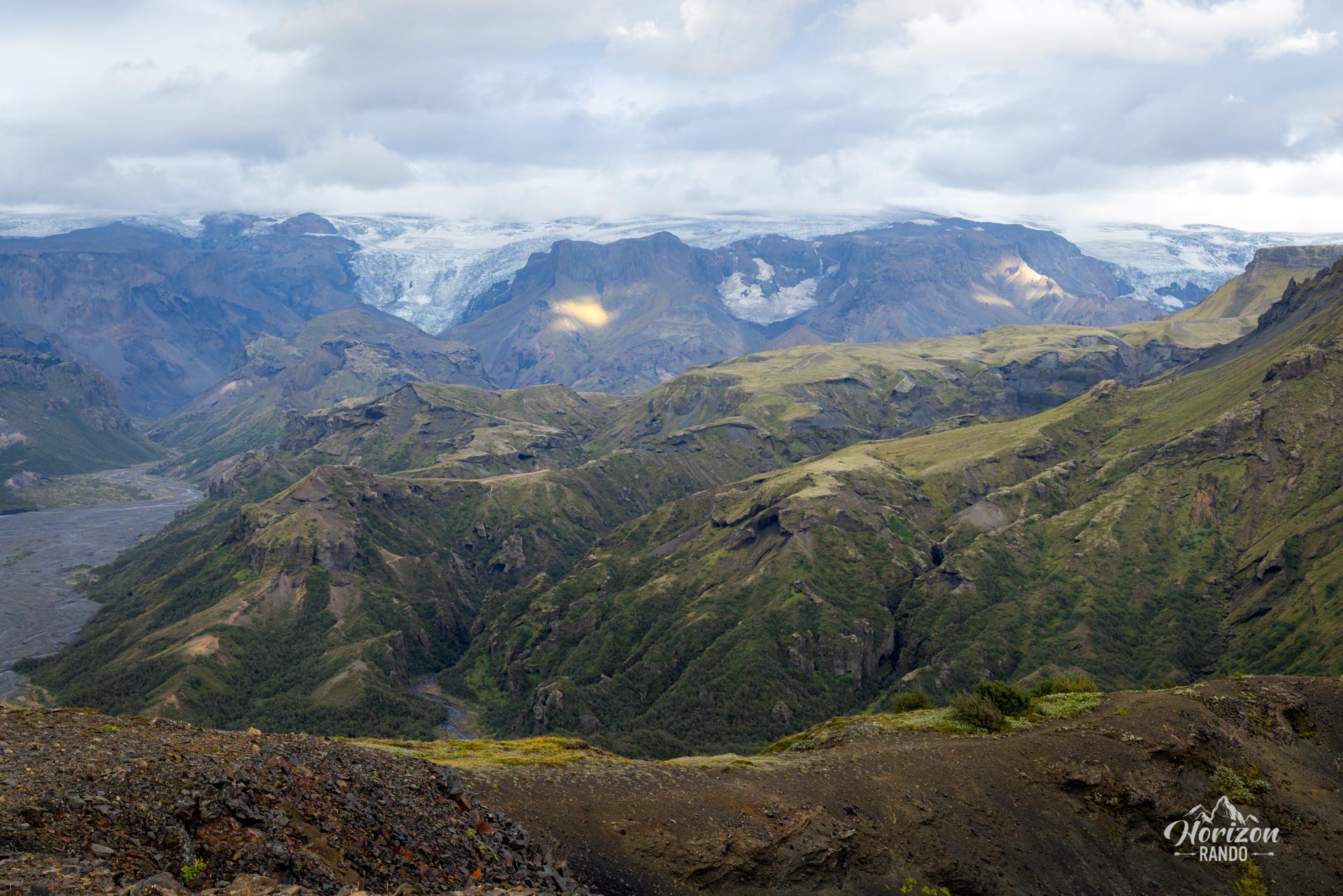
- The exceptional panorama from Réttarfell: The detour to the summit reveals a spectacular view of the Thórsmörk valley and the surrounding ice caps.
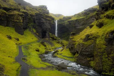
- The beauty of the Hvannárgil canyon with its steep, glacier-carved walls and the Hvanná River winding below.
- The unspoiled landscapes and the solitude of this untouched nature, far from tourist crowds.
Practical information
Getting to Thórsmörk
I strongly recommend taking one of the bus companies to reach the region. The F249 road to Thórsmörk has some of the most challenging river crossings in Iceland and should only be attempted by highly experienced drivers with suitable vehicles.
You can book tickets with the bus companies Icelandia and TREX.
Hiking in Thórsmörk
Check out my Thórsmörk hiking guide to help you choose your hikes.
Photos
See all 13 photos →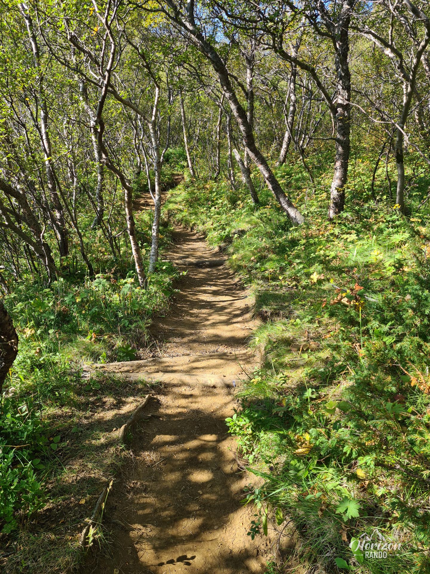
More hikes to do in Iceland
Nearby hikes















Printed from www.horizonrando.fr/en/iceland/hvannargil/