





Hatta Hike
Key facts about the hike
- Difficulty
- Moderate Hikes are rated from very easy to very hard: my difficulty scale
- Duration
- 2h45 Estimated time, short breaks included (photos, water, snacks), picnic not included: how it is calculated
- Distance
- 6.5km
- out and back
- Elevation gain
- 530m
- Type of route
- Out and back
- Maximum altitude
- 515 m
- Vertiginous Five levels, depending on how exposed the route is: the levels in detail
- Slightly
- Marked
- Yes
- Popularity
- Low
- Region
- South
- Start point
- 63.42105, -19.00279
- Activity
- Hiking
Hike overview
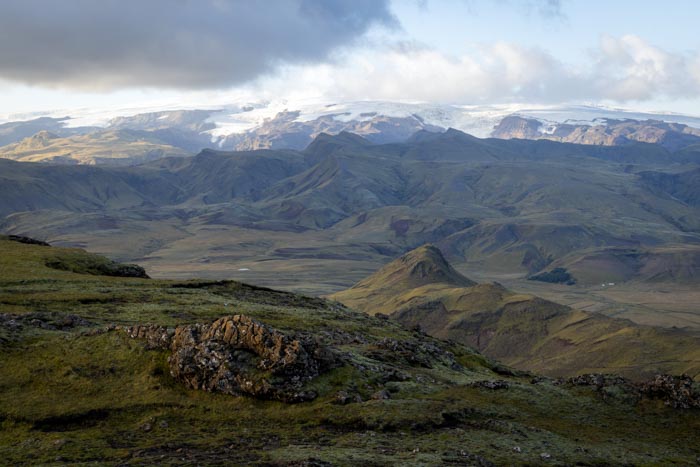
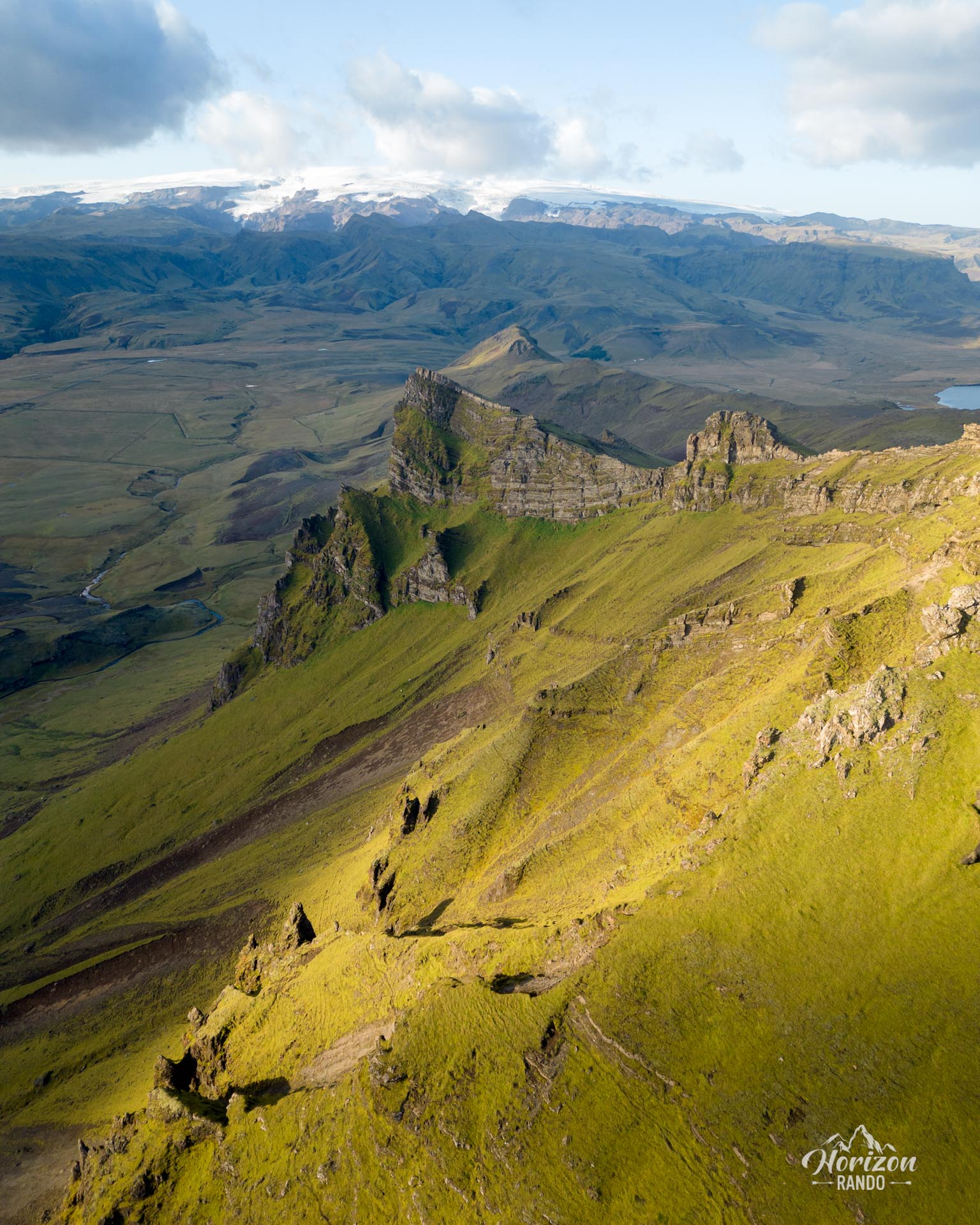
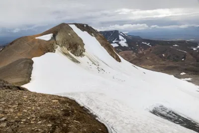
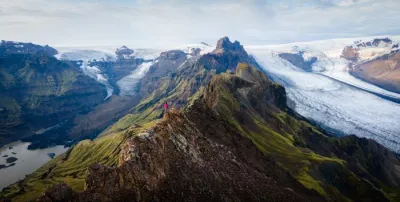
The Hatta hike leads to the highest peak near Vík, an iconic village on Iceland's south coast. Though not well-known, this climb offers spectacular, varied views of glaciers, lakes, endless black-sand beaches, and the imposing cliffs of the south coast.
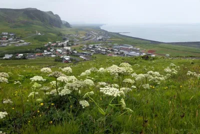
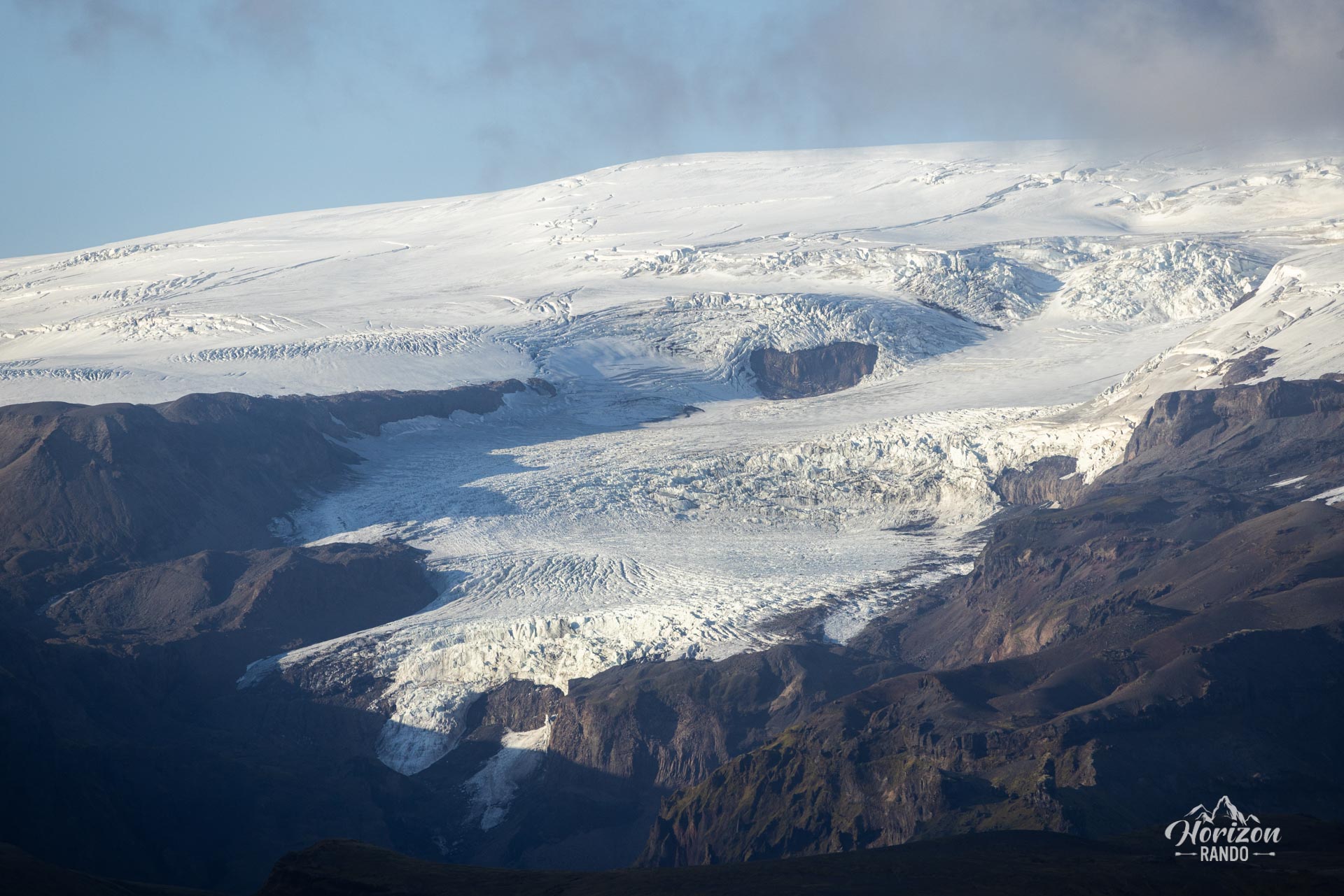
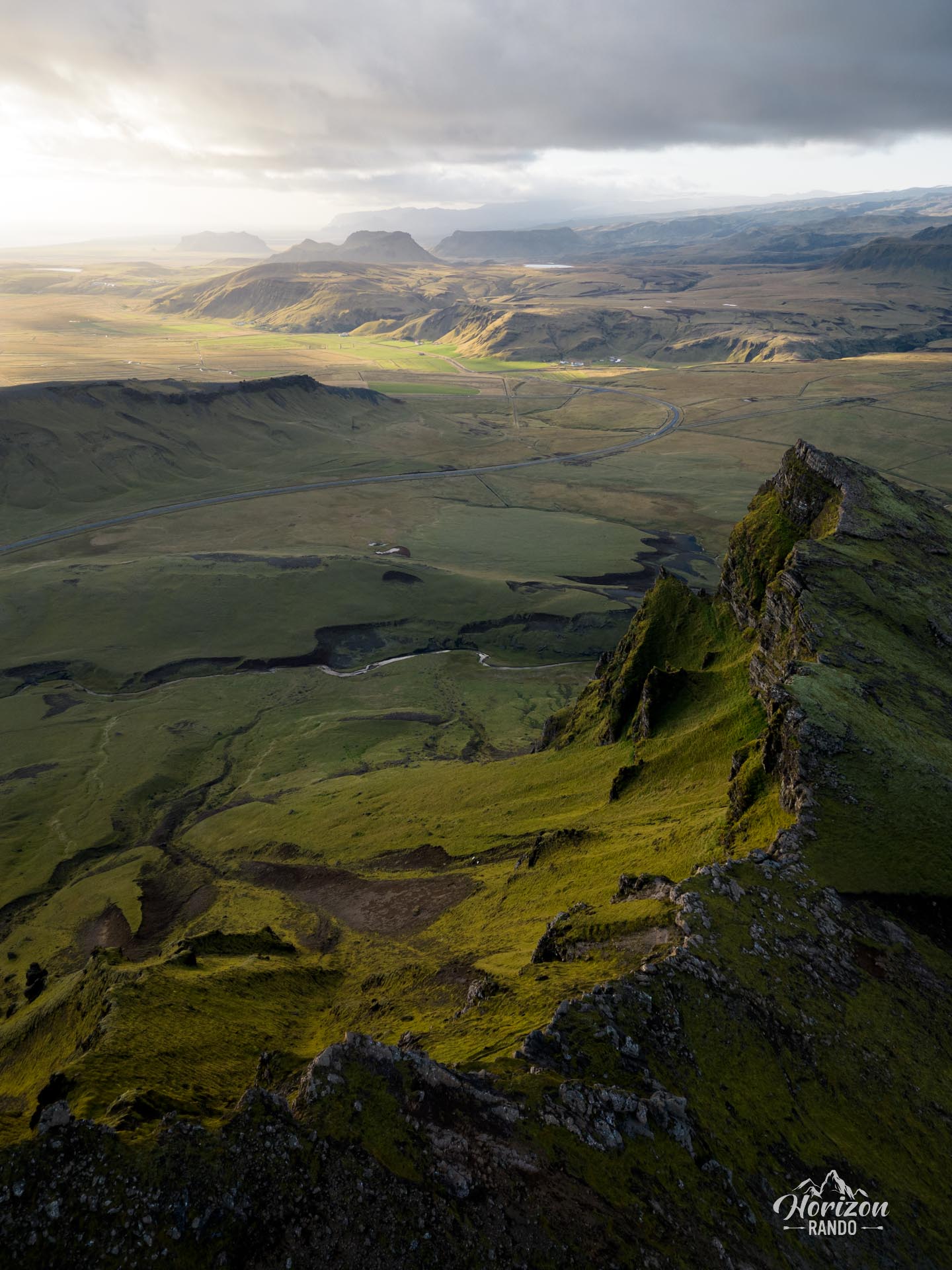
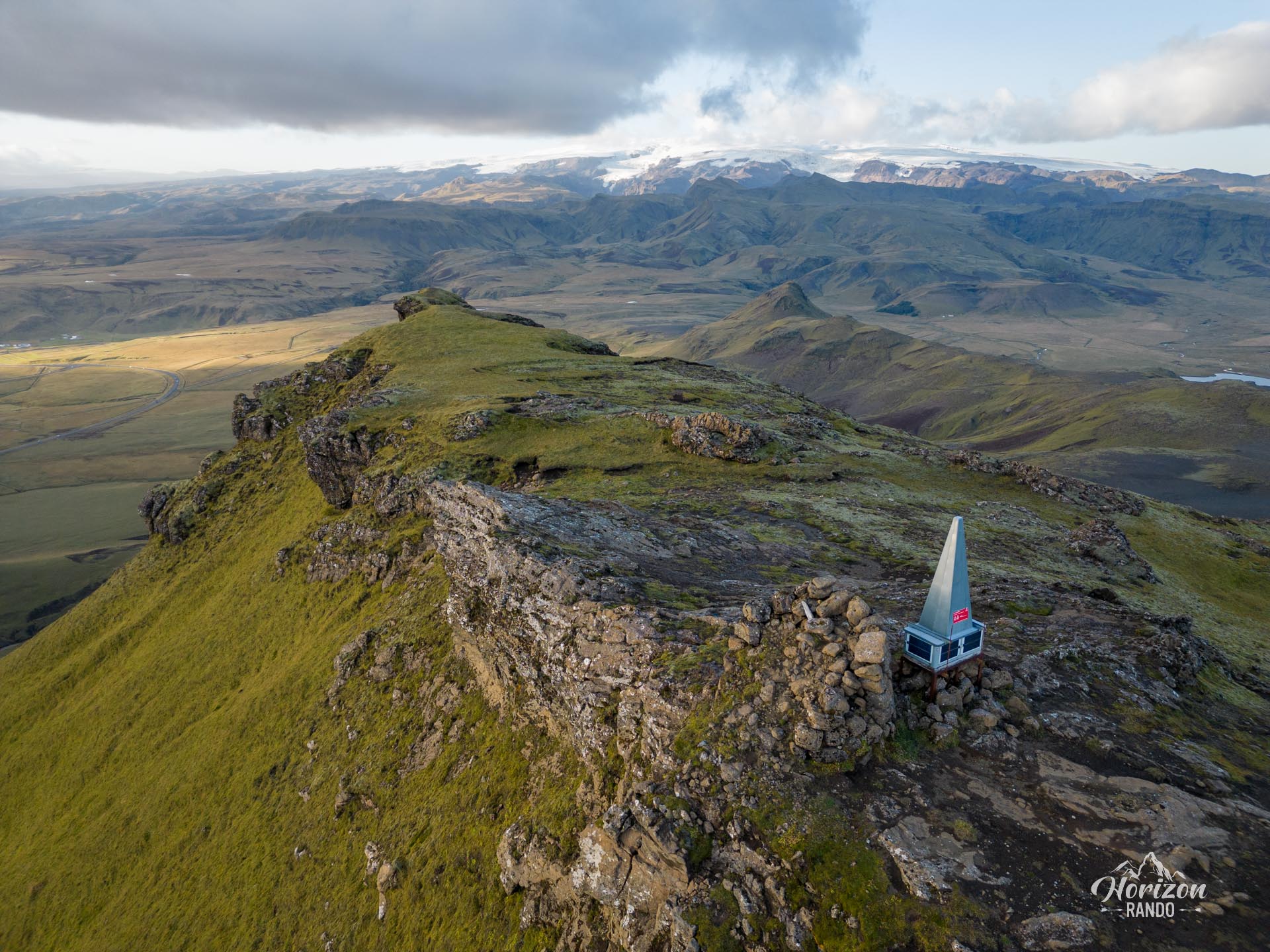
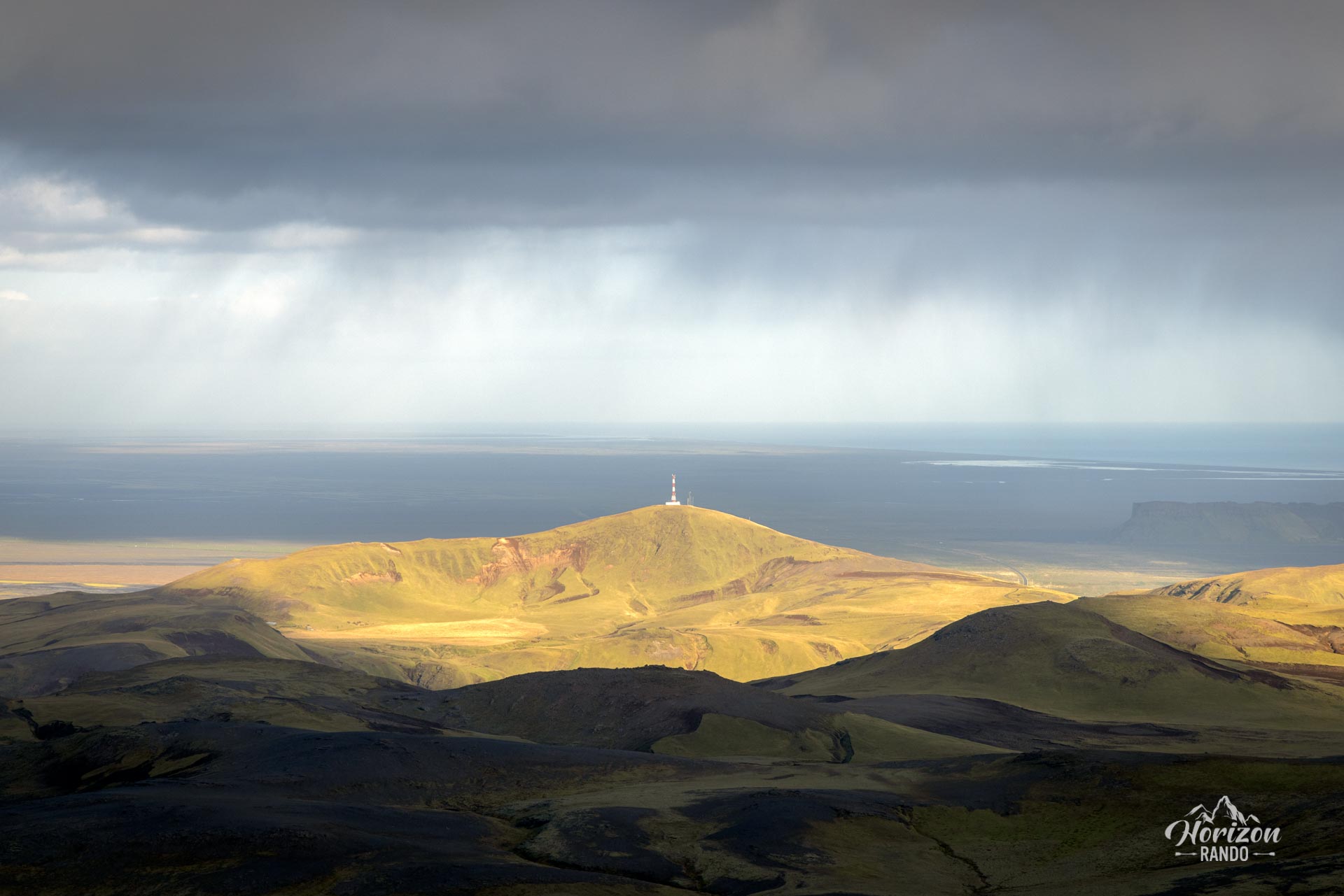
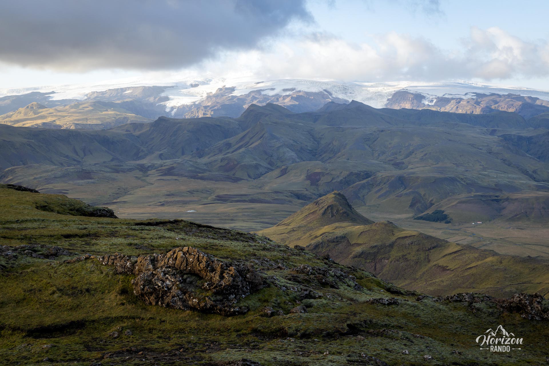
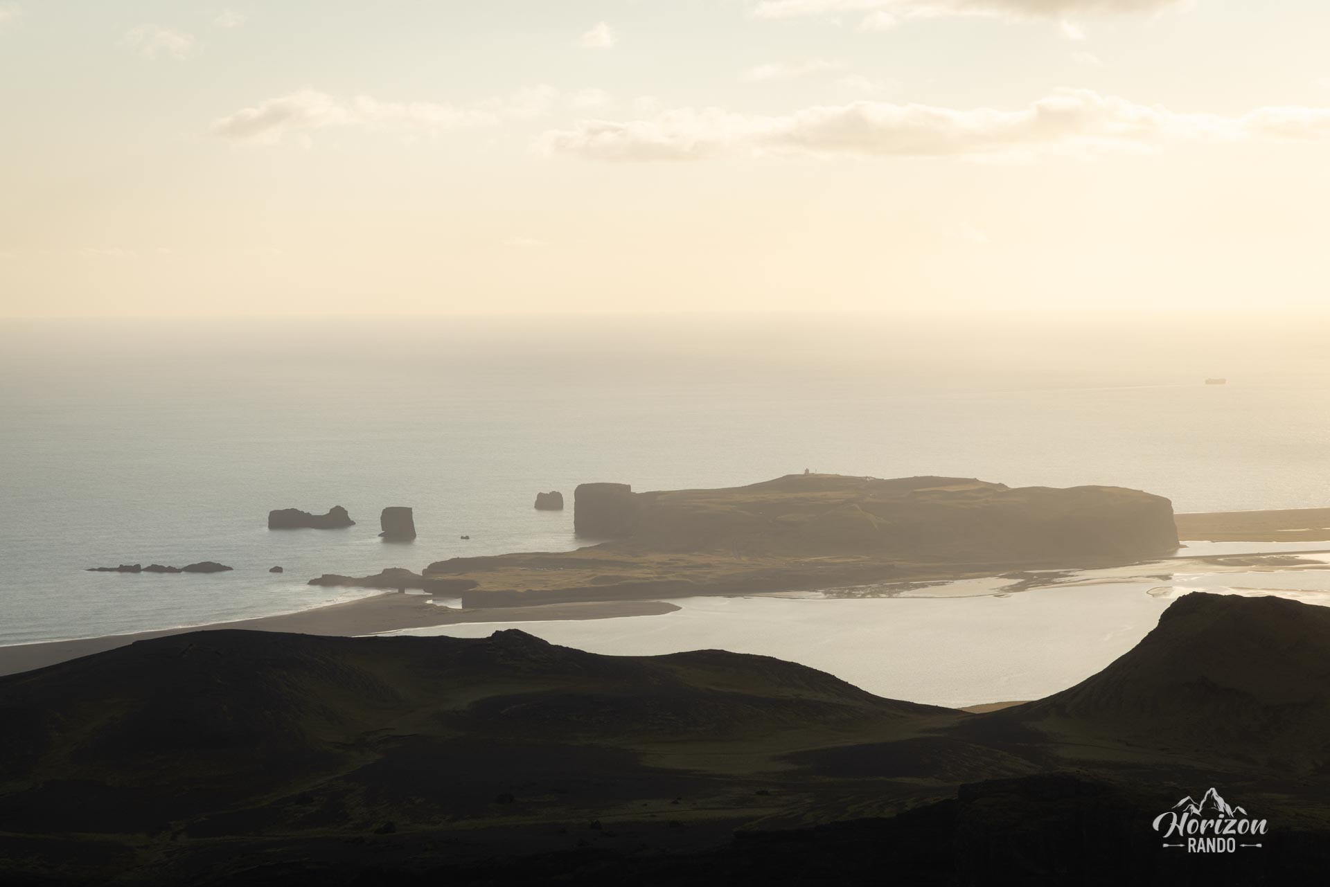
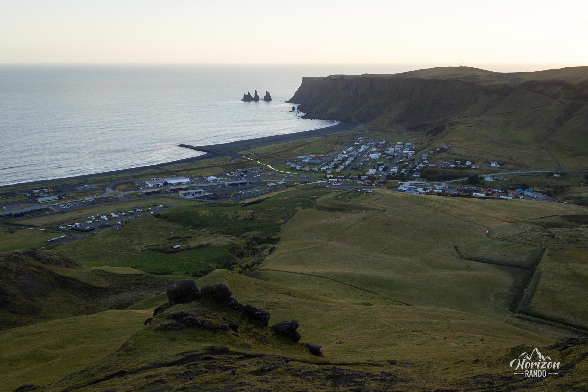
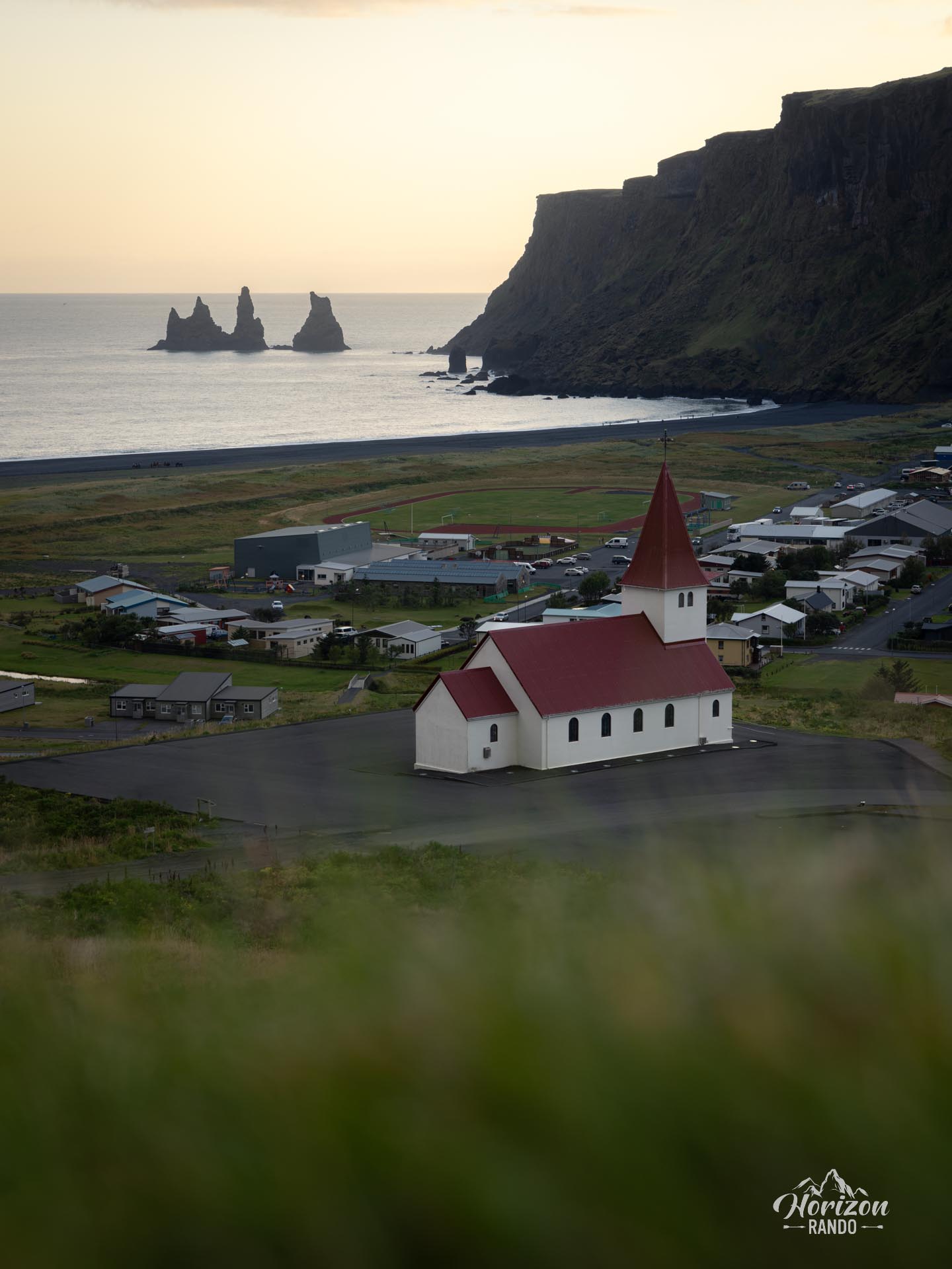
From the 515-meter summit, you can enjoy breathtaking views of the village of Vík and its famous church, the Reynisdrangar rock formations, the Dyrhólaey peninsula, the Mýrdalsjökull glacier, and the entire south coast stretching as far as the eye can see.
Map and elevation profile of the hike
Hatta Hike
Difficulties of the hike
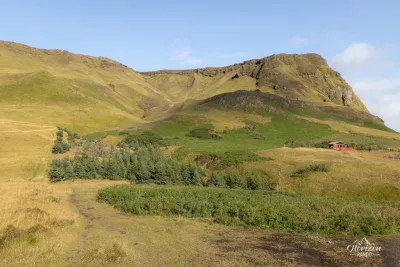
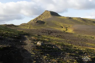
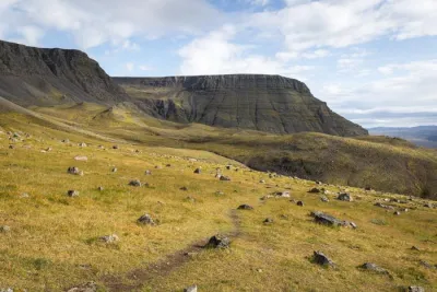
The trail has a few relatively steep slopes, particularly at the beginning and end of the ascent, but no technical difficulties. The route is clearly marked with colored poles all the way to the summit, making navigation much easier. Hatta is one of the few peaks in the region with a hiking trail, allowing you to explore these magnificent landscapes away from the tourist crowds.
What you'll love
- The 360-degree panorama from the summit: You will overlook the village of Vík and admire the famous Reynisdrangar rock formations emerging from the ocean, the Mýrdalsjökull glacier and the black sand expanses of Mýrdalssandur.
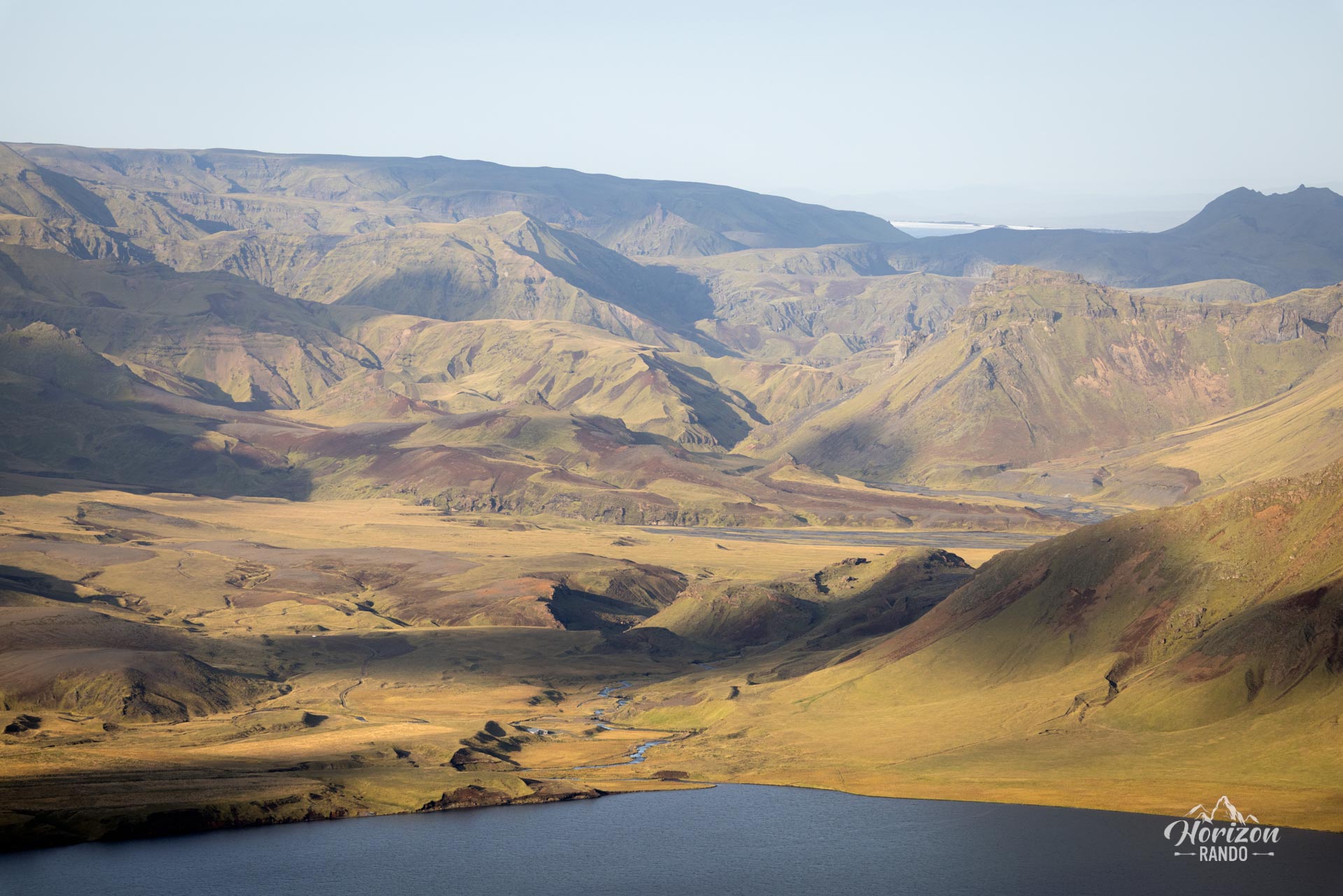
- The diversity of landscapes: Glaciers, black sand beaches, cliffs, lakes, and the ocean come together to form a condensed version of Iceland's beauty.
- The tranquility of the route: Unlike the region's ultra-popular tourist sites, Hatta remains a peaceful hike to enjoy nature in complete serenity
Photos
See all 15 photos →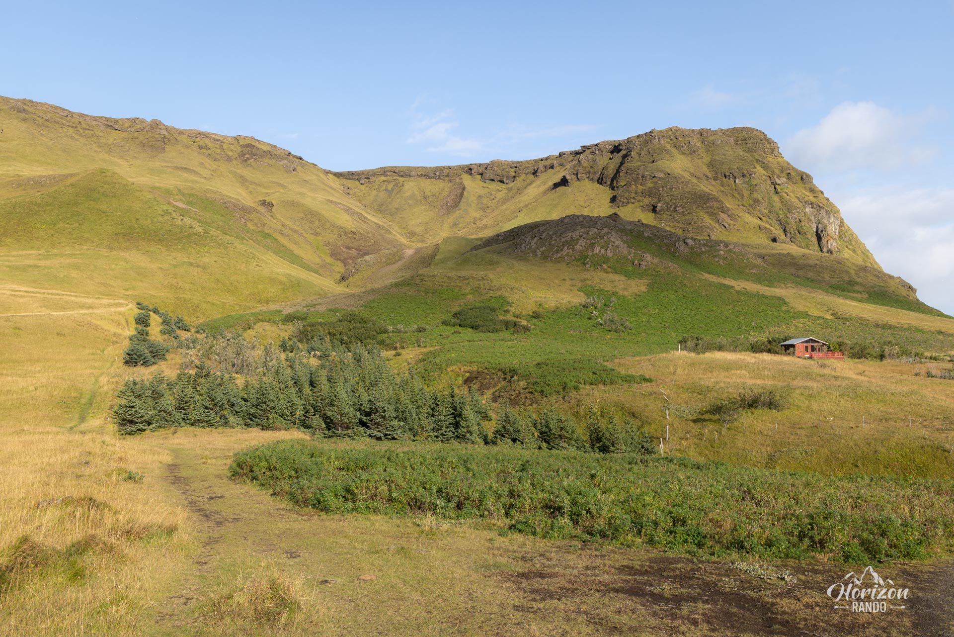
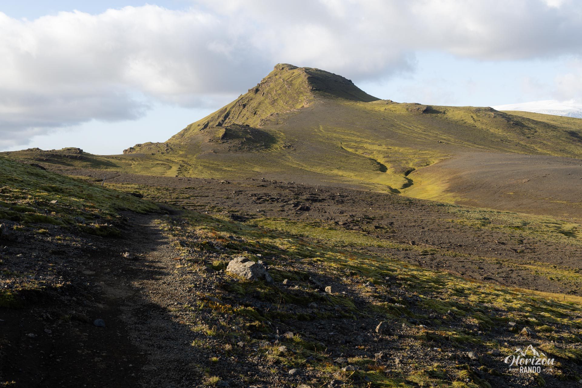
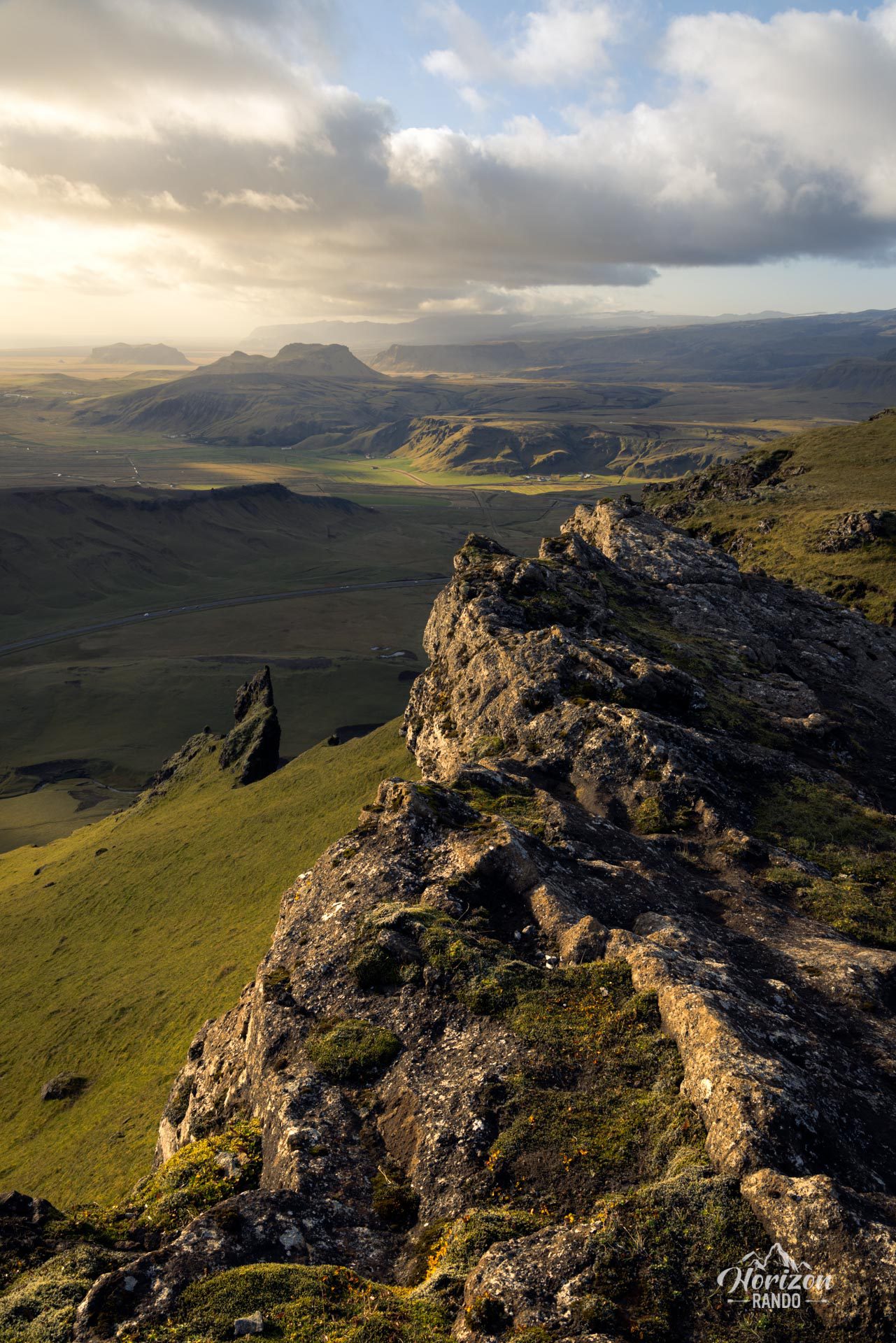
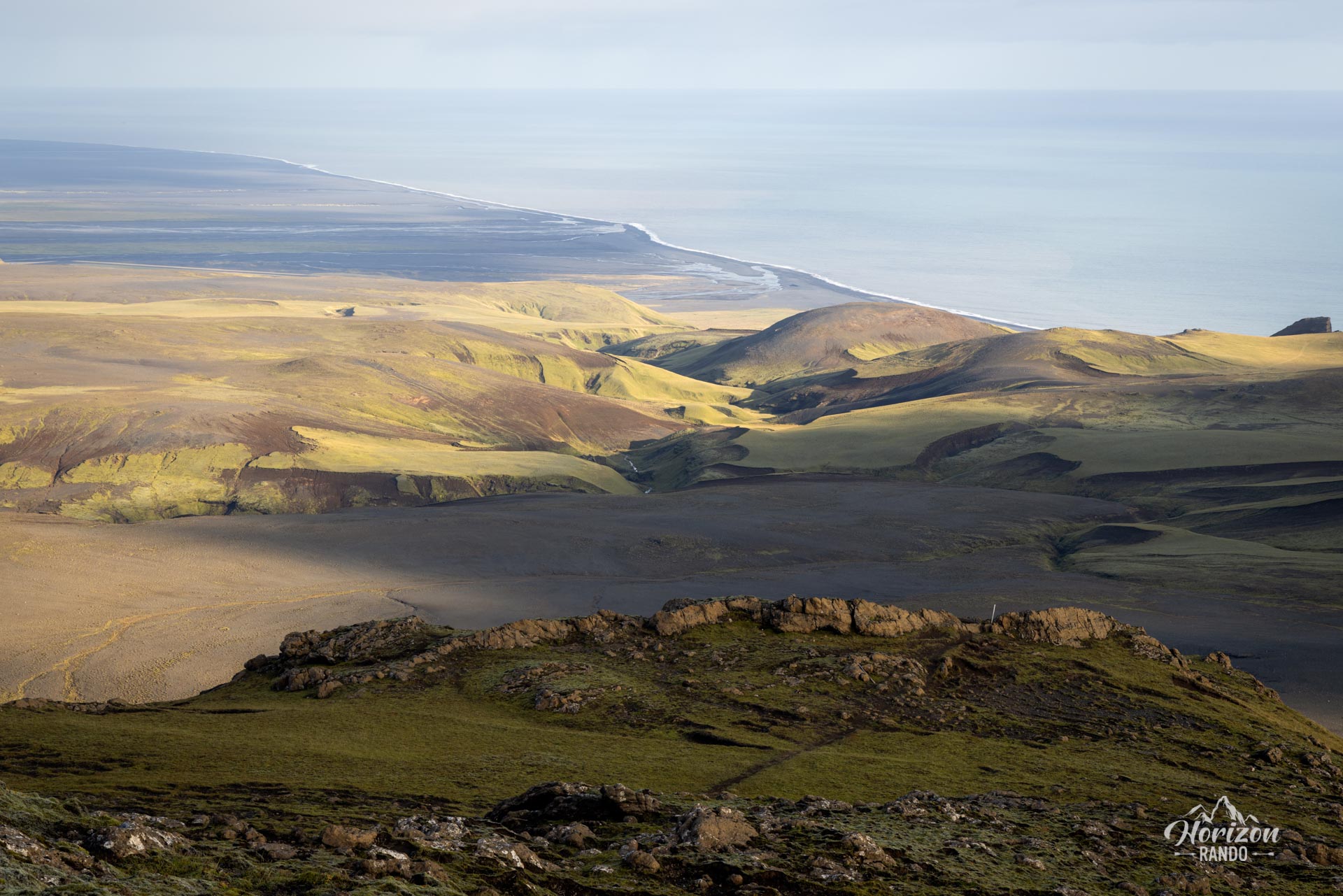
More hikes to do in Iceland
Nearby hikes

















Printed from www.horizonrando.fr/en/iceland/hatta/