






Gigvatn Hike
Key facts about the hike
- Difficulty
- Easy Hikes are rated from very easy to very hard: my difficulty scale
- Duration
- 1h Estimated time, short breaks included (photos, water, snacks), picnic not included: how it is calculated
- Distance
- 2.9km
- out and back
- Elevation gain
- 50m
- Type of route
- Out and back
- Maximum altitude
- 452 m
- Vertiginous Five levels, depending on how exposed the route is: the levels in detail
- No
- Marked
- Yes
- Popularity
- Very low
- Region
- Highlands
- Start point
- 63.93789, -18.63897
- Activity
- Hiking
Hike overview
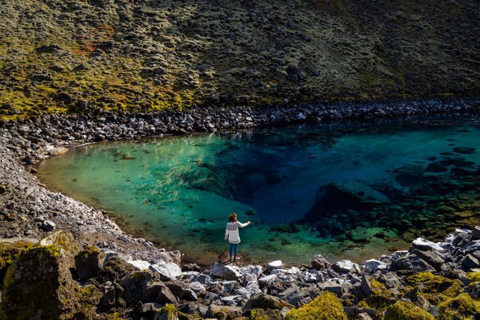
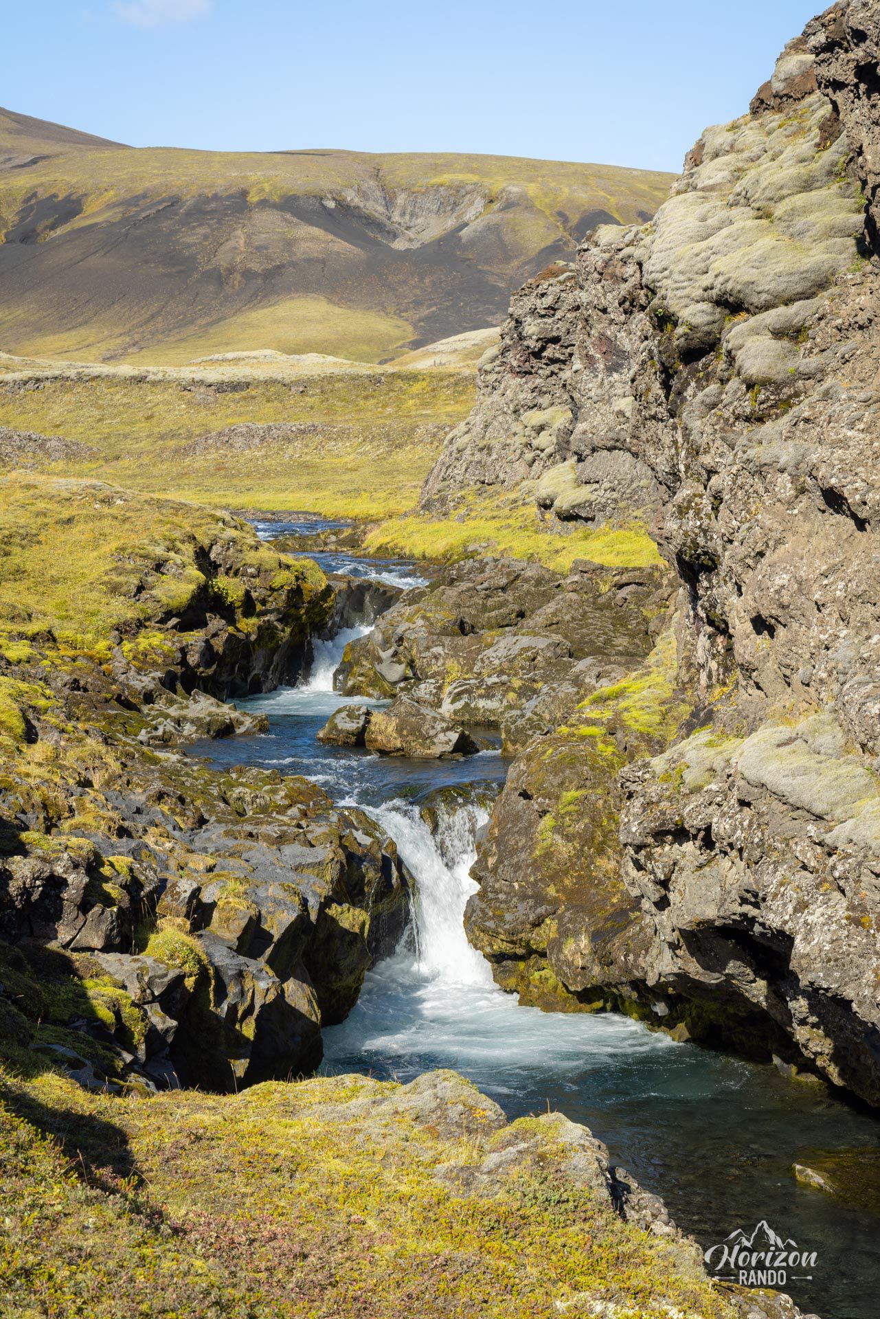
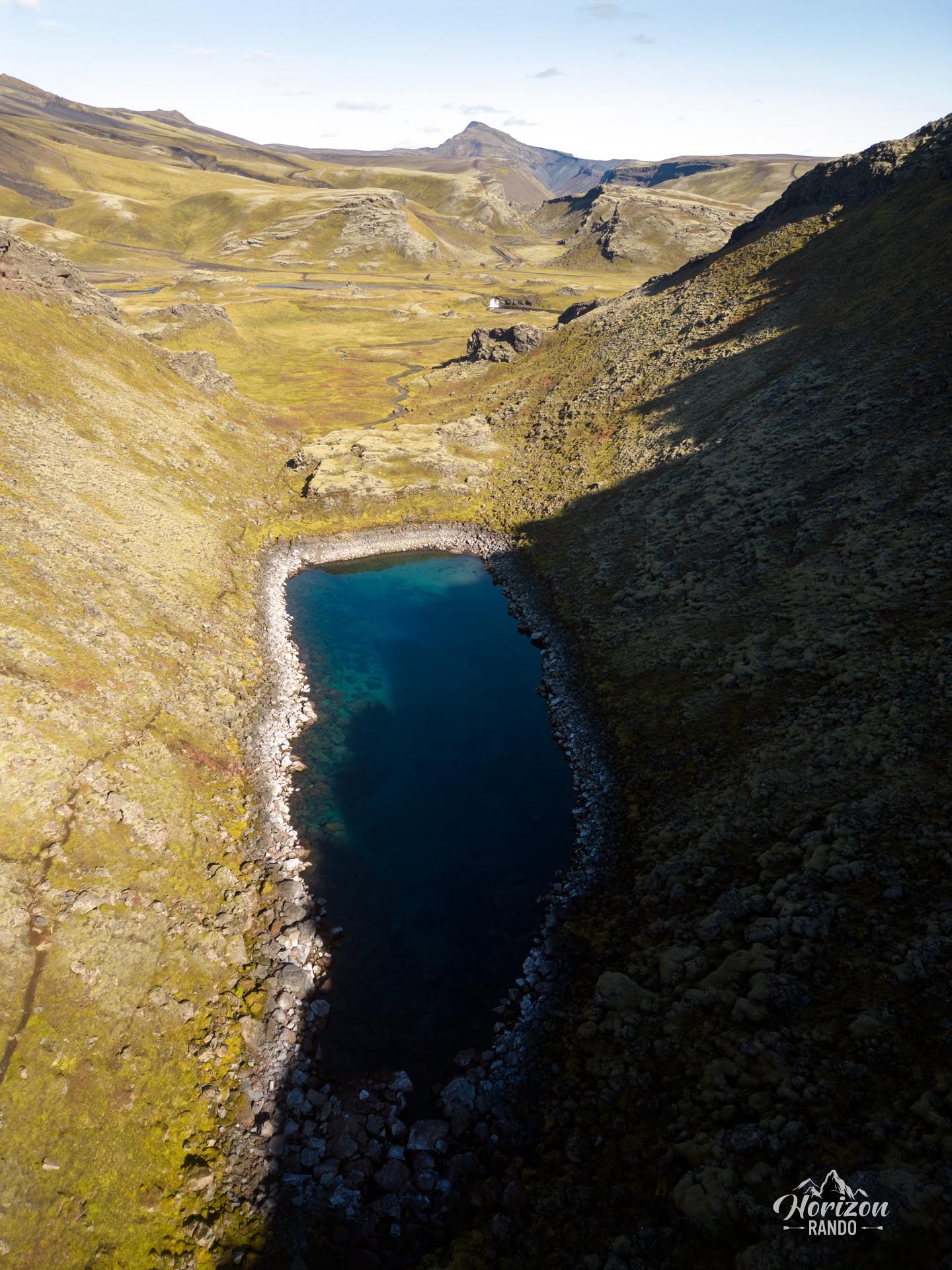
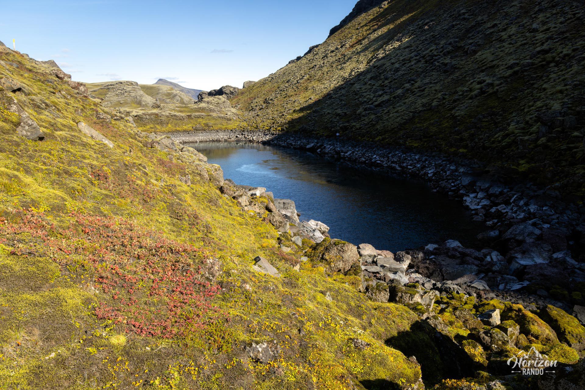
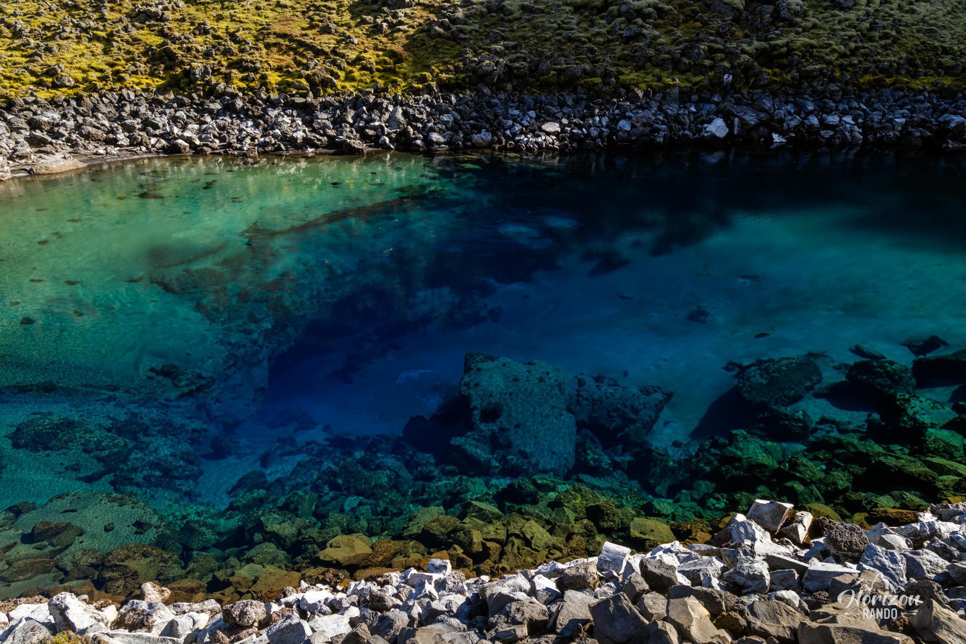
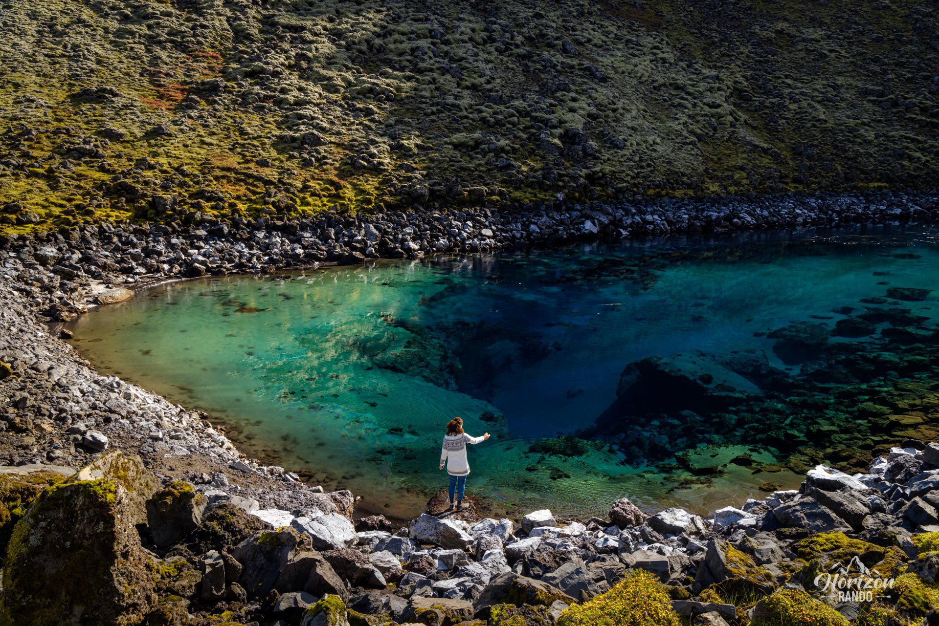
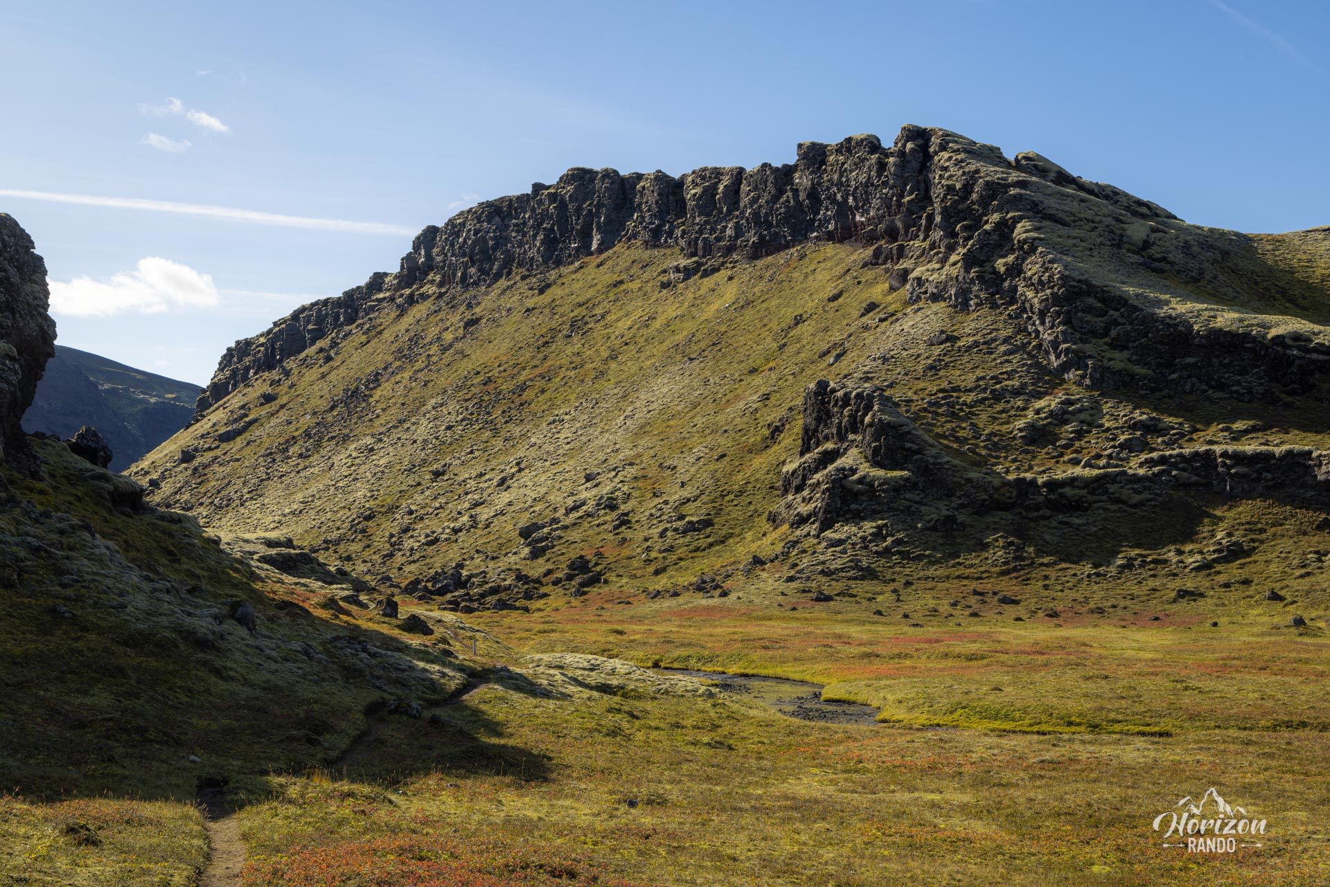
The Gigvatn hike takes you to an exceptionally pure lake located in the heart of the Icelandic Highlands, near the Eldgjá canyon. The water is crystal clear and ranges in color from green to deep blue, depending on the lake's depth. This route takes you through a beautiful, untouched landscape where you are unlikely to encounter another person!
Map and elevation profile of the hike
Gigvatn Hike
Difficulties of the hike
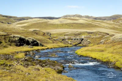
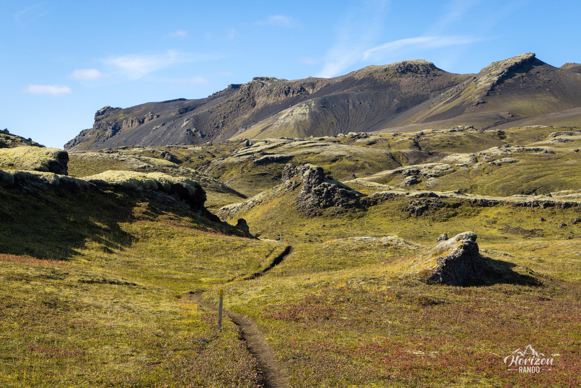
Despite the very low number of visitors, this hike follows an excellently marked trail. The route is almost flat and presents absolutely no difficulty.
What you'll love
- Exceptional color palette: The crystal-clear waters of the lake display shades ranging from green to deep blue, depending on the depth and lighting.
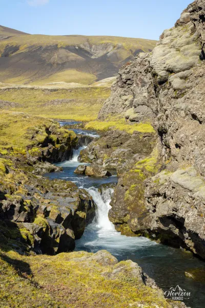
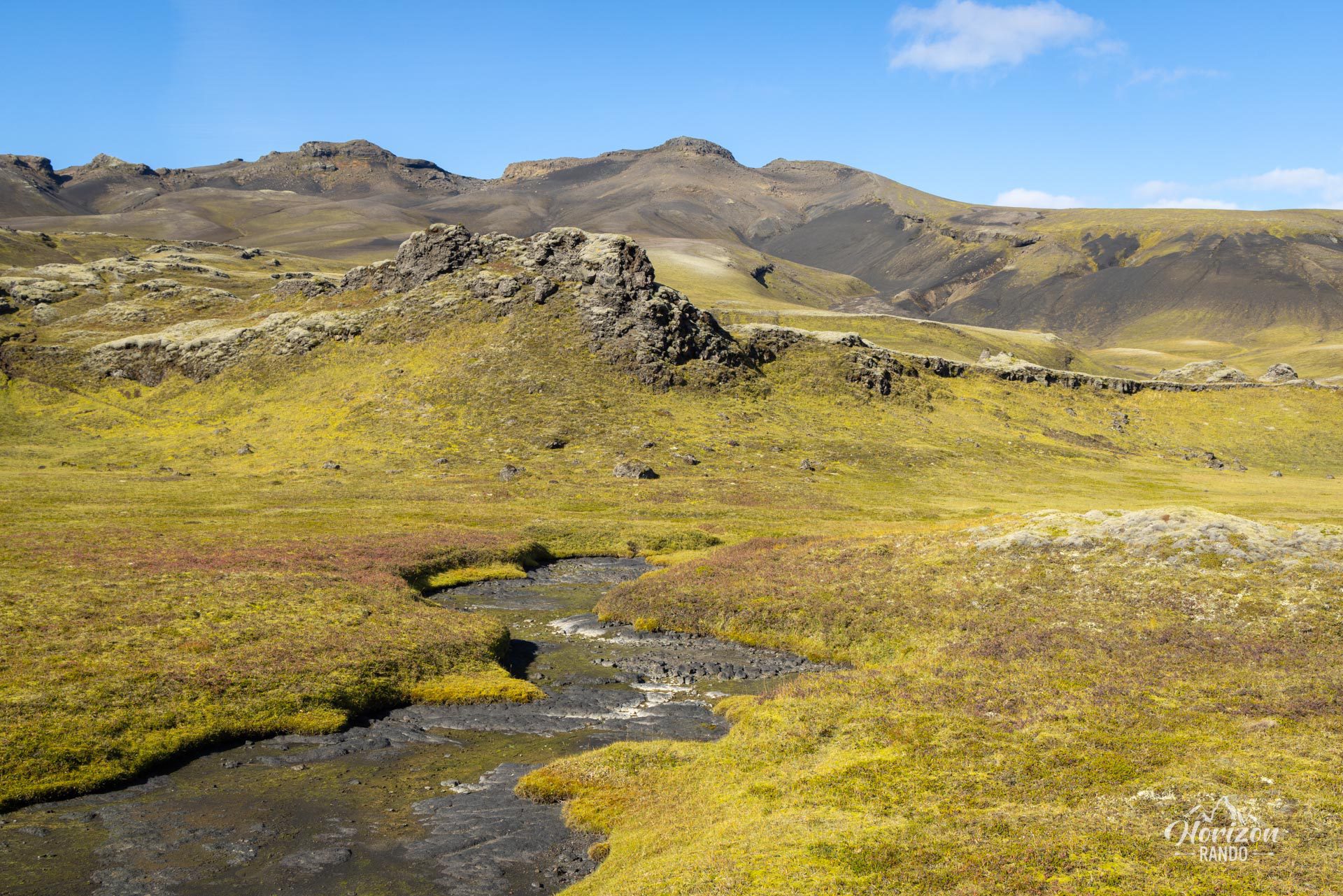
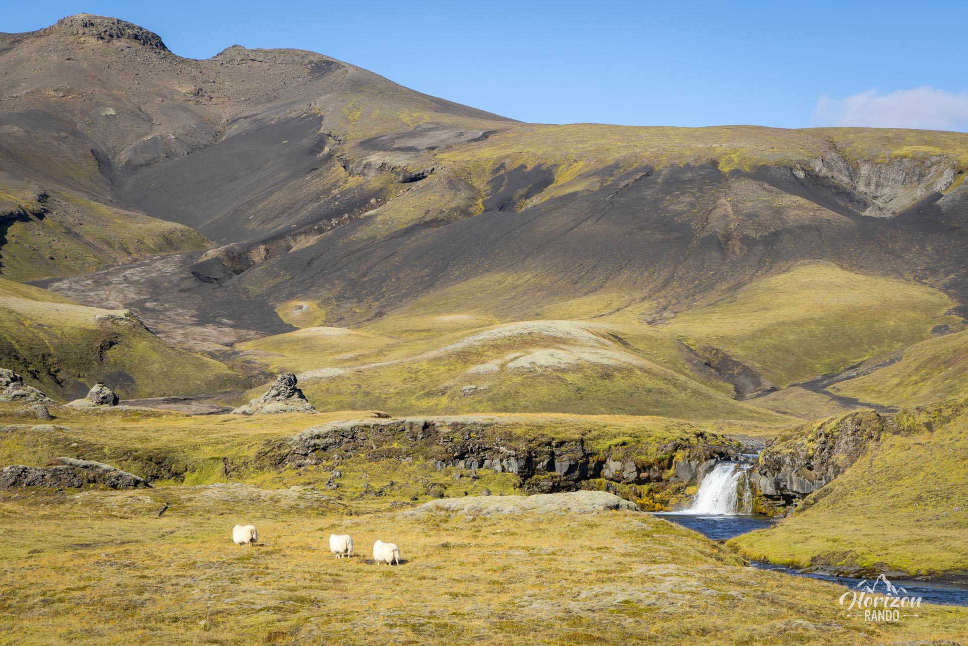
- Total immersion in the Highlands: This hike takes you to the heart of the Icelandic Highlands, an authentic, unspoiled volcanic landscape.
Practical information
Access
F-roads are only open in the summer, and a 4WD vehicle is required. From the south, take the F208 road. No river crossings are necessary.
Read more
See the section on driving in the Highlands for more information.
Photos
See all 10 photos →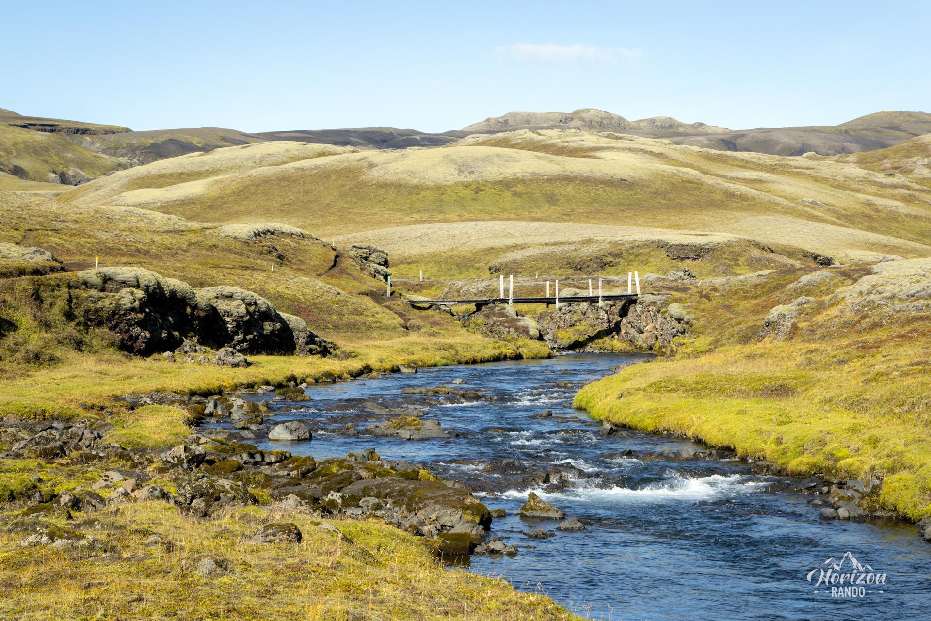
More hikes to do in Iceland
Nearby hikes
















Printed from www.horizonrando.fr/en/iceland/gigvatn/