





Kristínartindar Hike
Key facts about the hike
- Difficulty
- Very hard Hikes are rated from very easy to very hard: my difficulty scale
- Duration
- 7h Estimated time, short breaks included (photos, water, snacks), picnic not included: how it is calculated
- Distance
- 18km
- Elevation gain
- 1,100m
- Type of route
- Loop
- Maximum altitude
- 1,126 m
- Vertiginous Five levels, depending on how exposed the route is: the levels in detail
- Moderately
- Marked
- Yes
- Popularity
- Low
- Region
- South
- Start point
- 64.01639, -16.96684
- Activity
- Hiking
Hike overview
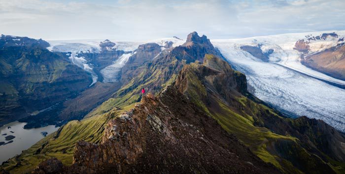
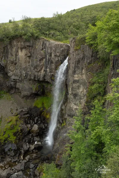
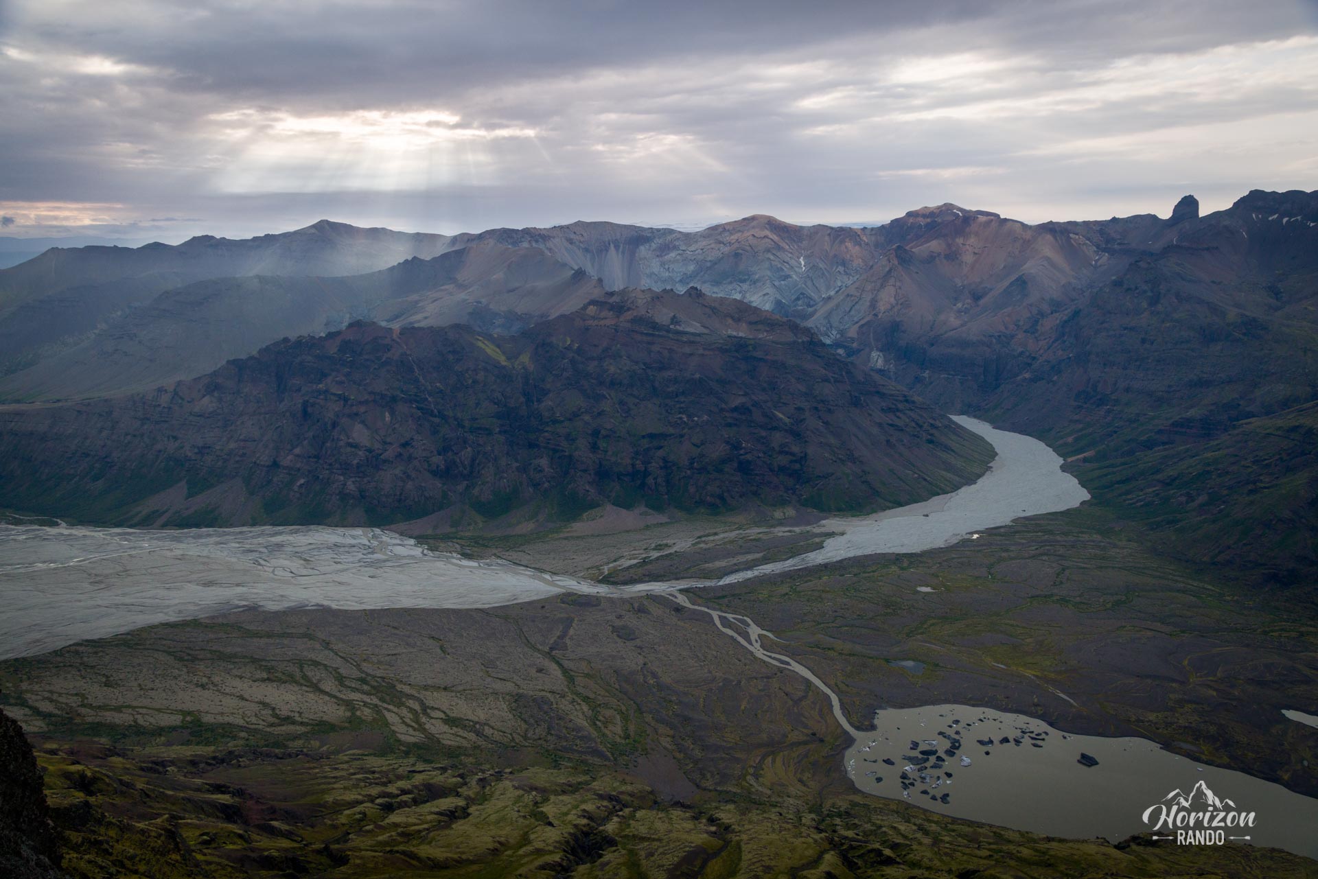
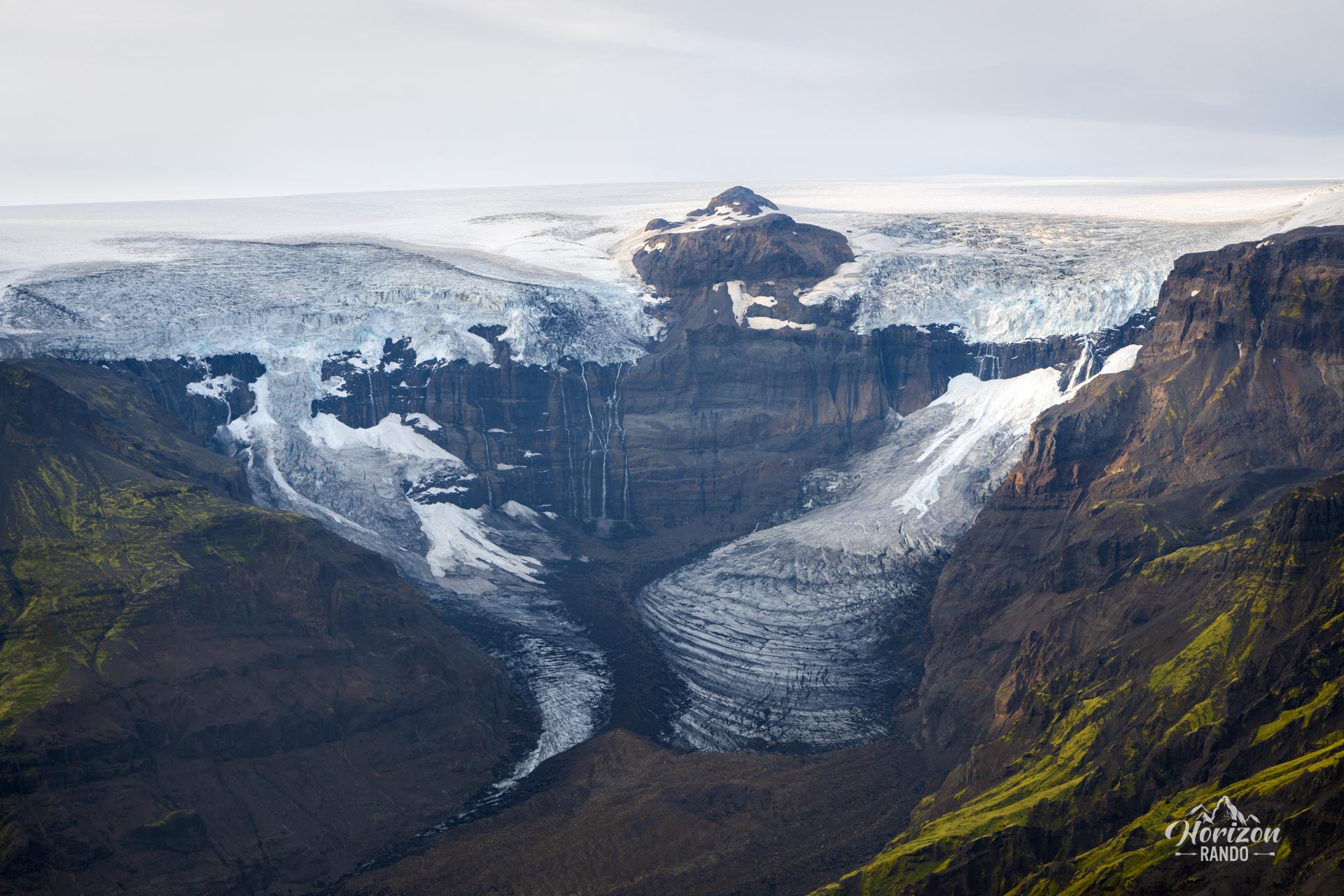
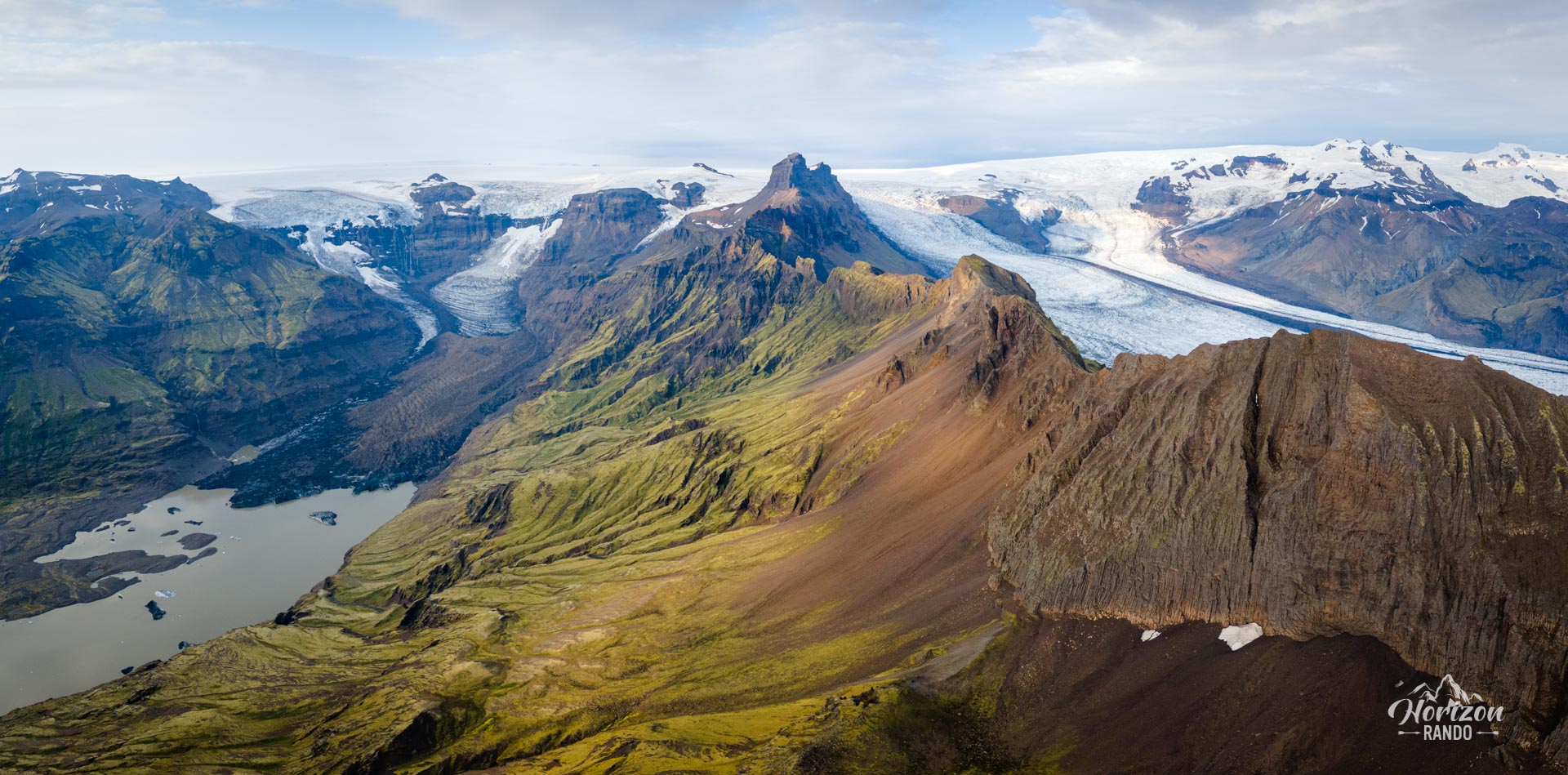
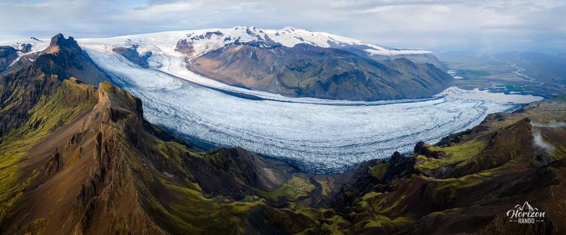
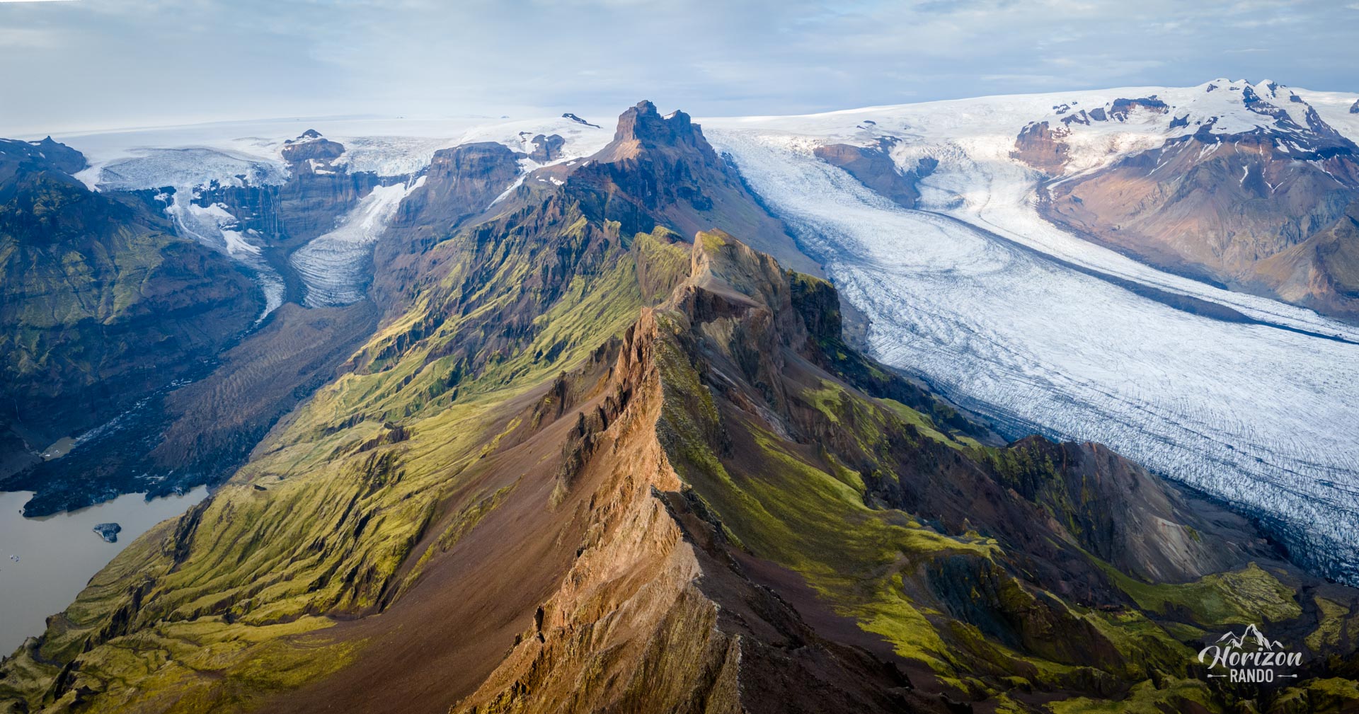
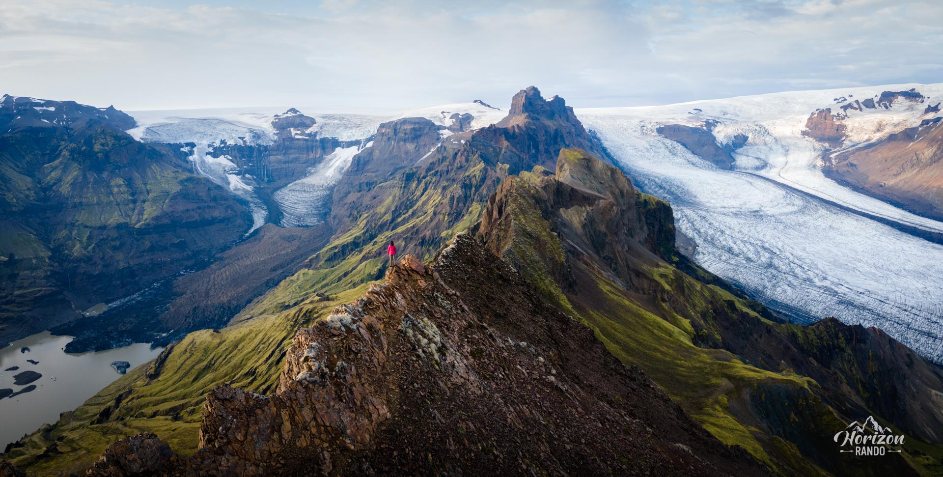
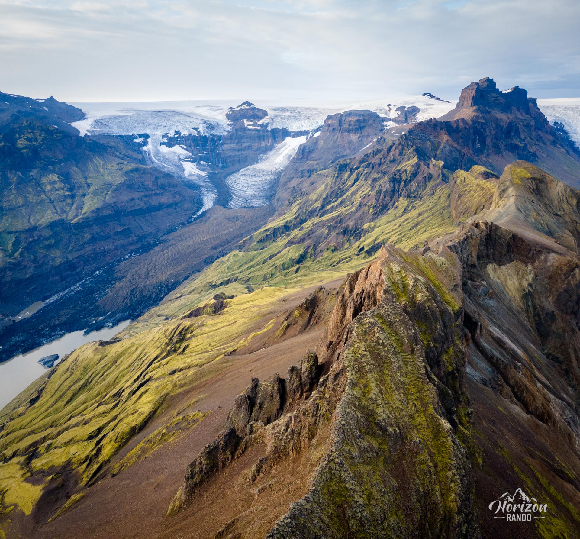
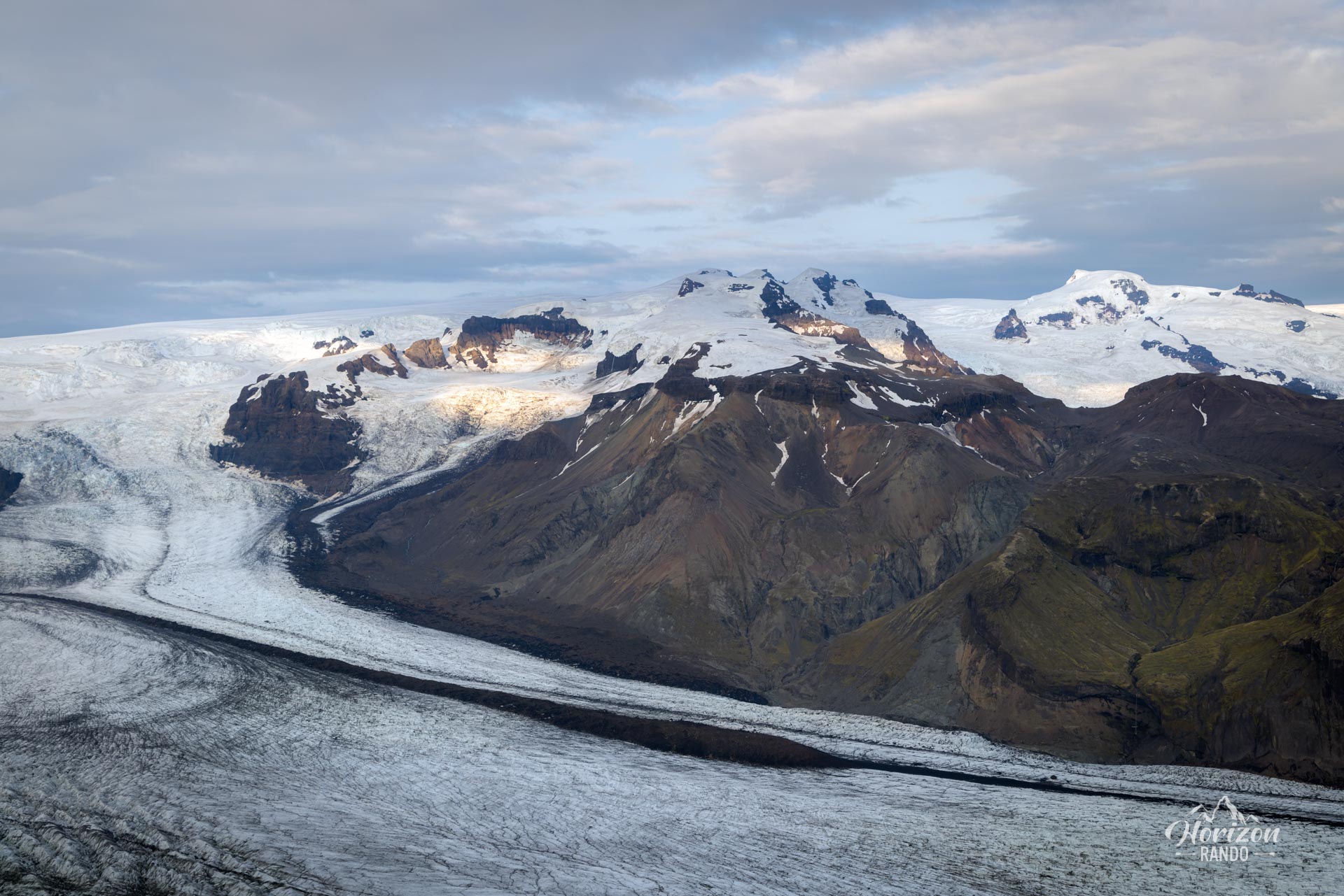
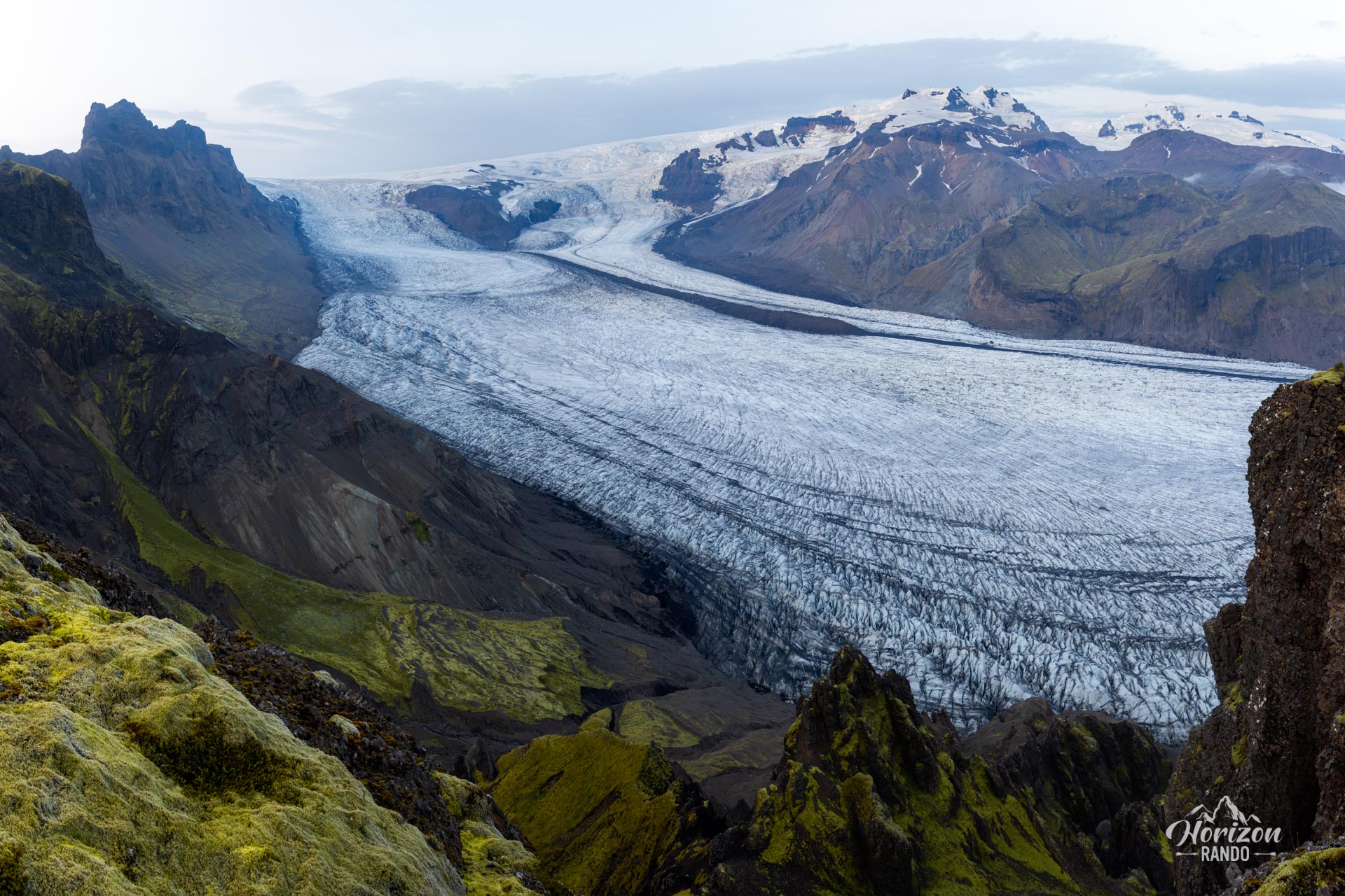
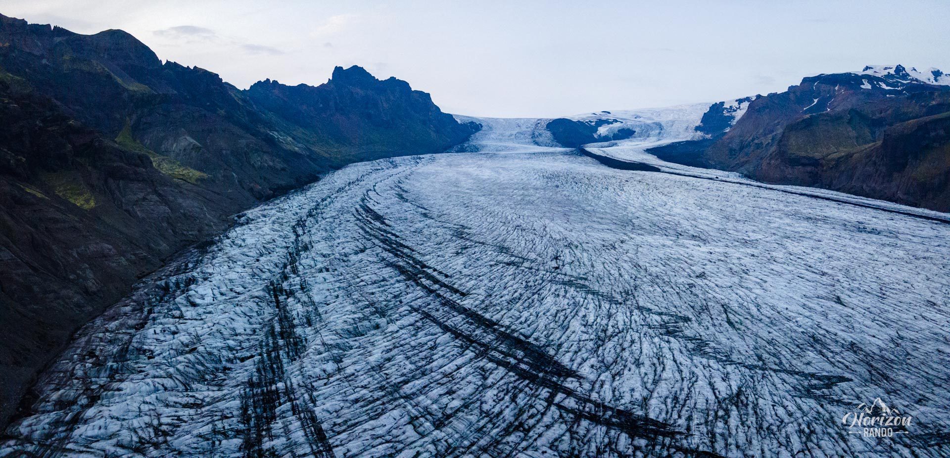
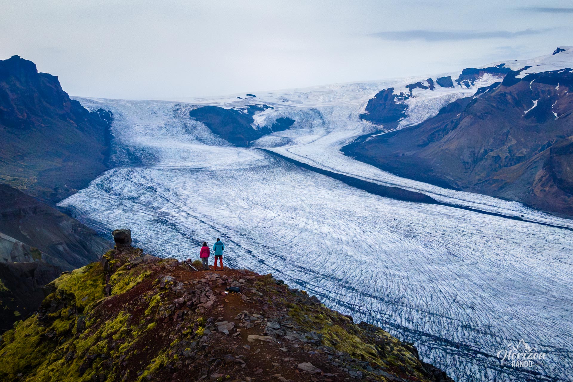
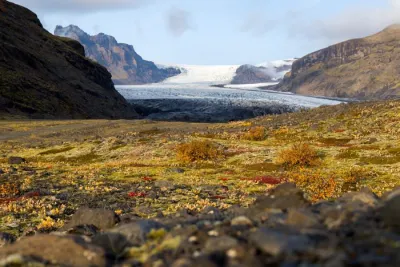
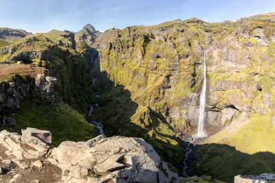
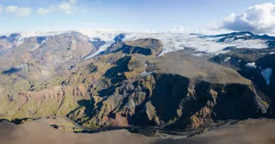
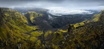
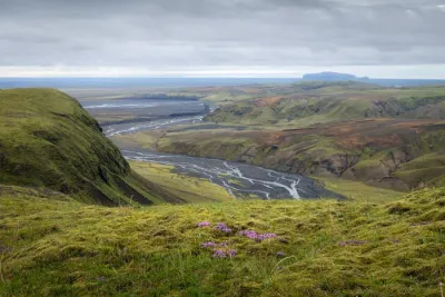
The Kristínartindar hike takes you to the eponymous 1,126-meter-high peak in the heart of Vatnajökull National Park in southern Iceland. The climb reveals spectacular panoramic views of the Morsárjökull and Skaftafellsjökull glaciers and the deep valleys they carved. You will also see Iceland's highest waterfall, Morsárfoss, in the distance. It is 240 meters high.
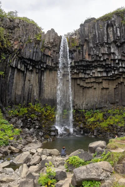
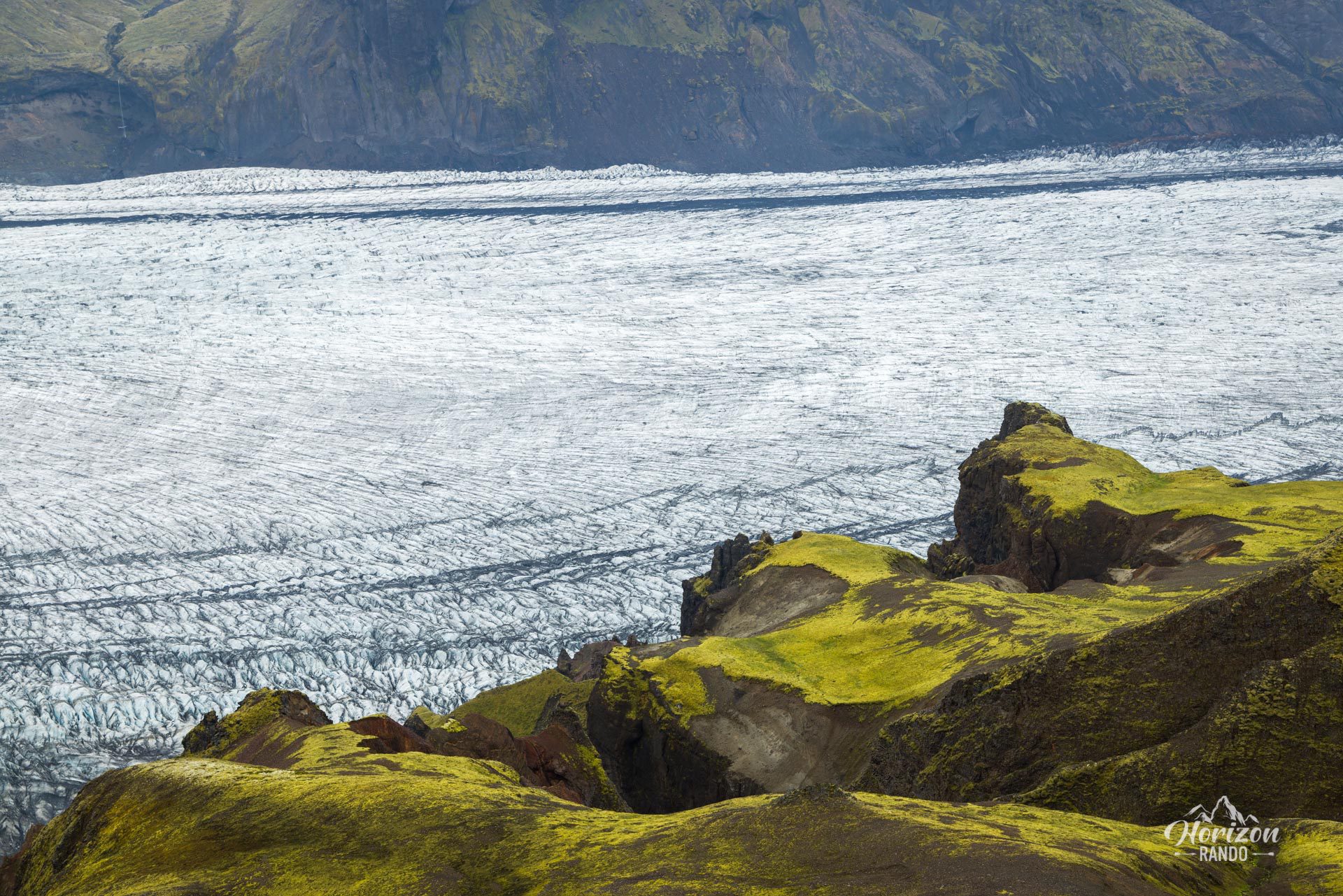
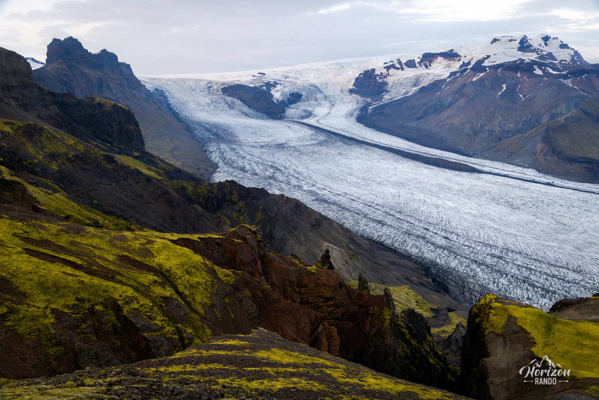
The route begins at the famous Svartifoss waterfall, then gradually moves away from the tourist crowds. Walking the loop clockwise reveals many impressive views along the descent of the Skaftafellsjökull glacier.
Map and elevation profile of the hike
Kristínartindar Hike
Difficulties of the hike
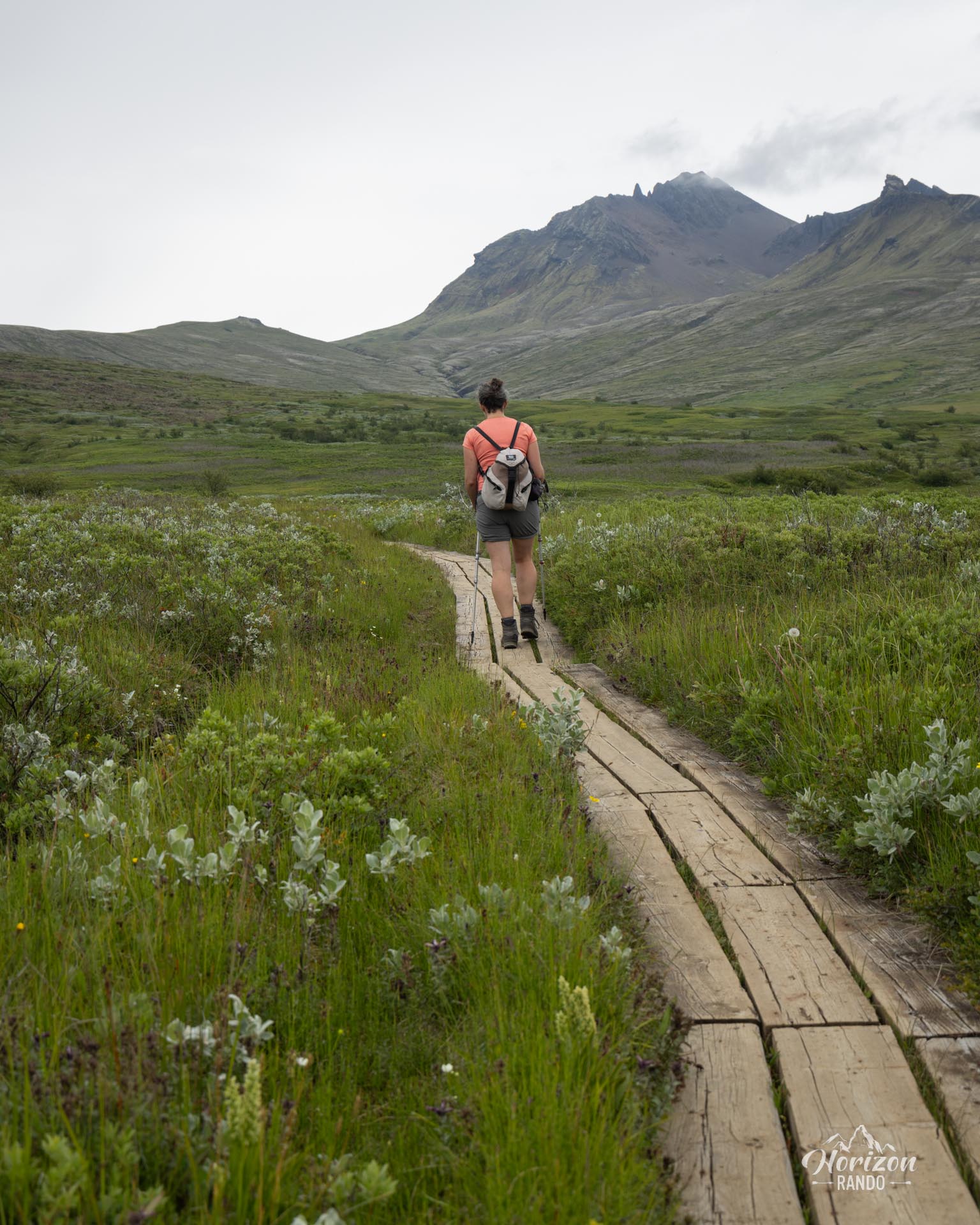
Kristínartindar is a long, physically demanding hike covering nearly 18 kilometers with 1,100 meters of elevation gain. Most of the route is accessible with gradual climbs on pleasant terrain. Additionally, the route follows a well-marked trail with colored poles marking the way.
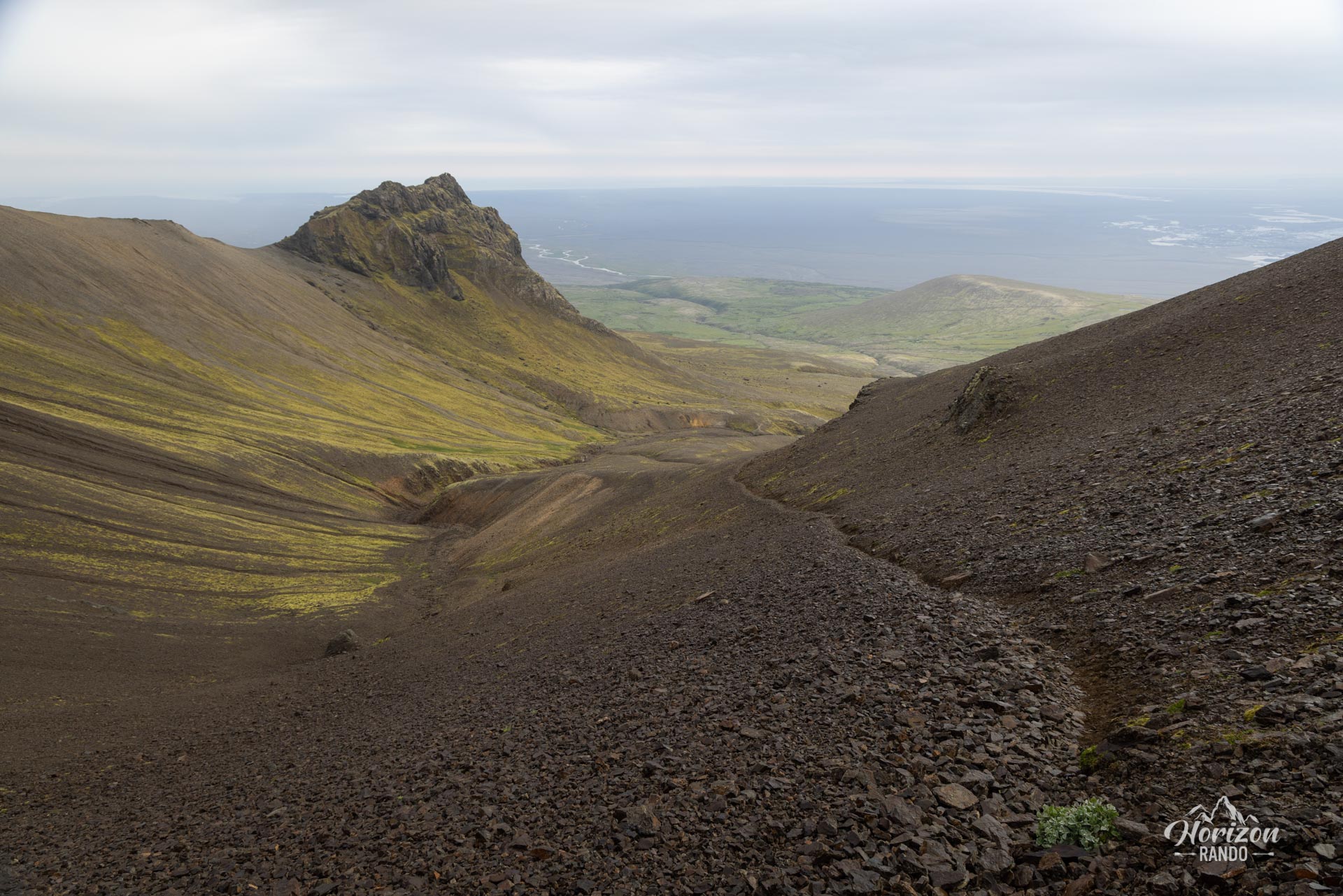
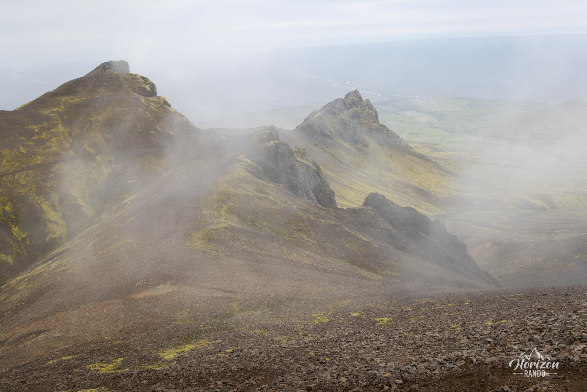
The most technical and challenging section is the final ascent between the last pass and the summit. You will cross a steep scree slope composed of unstable, slippery rocks with a few short, exposed sections. This section requires the use of your hands in places and demands caution and concentration.
What you'll love
- The breathtaking 360° panorama from the summit: unobstructed views of the two giant glaciers, Morsárjökull and Skaftafellsjökull, and their respective glacial valleys on either side of the summit.
- The descent along the Skaftafellsjökull glacier: it reveals many impressive views, with a multitude of photo opportunities of the immense glacier tongue.
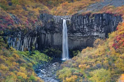
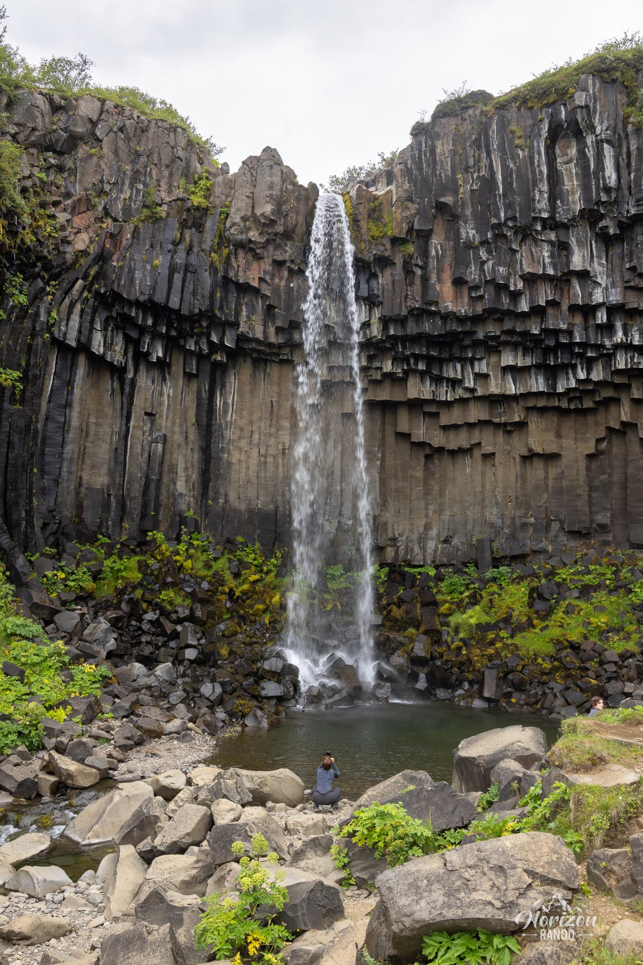
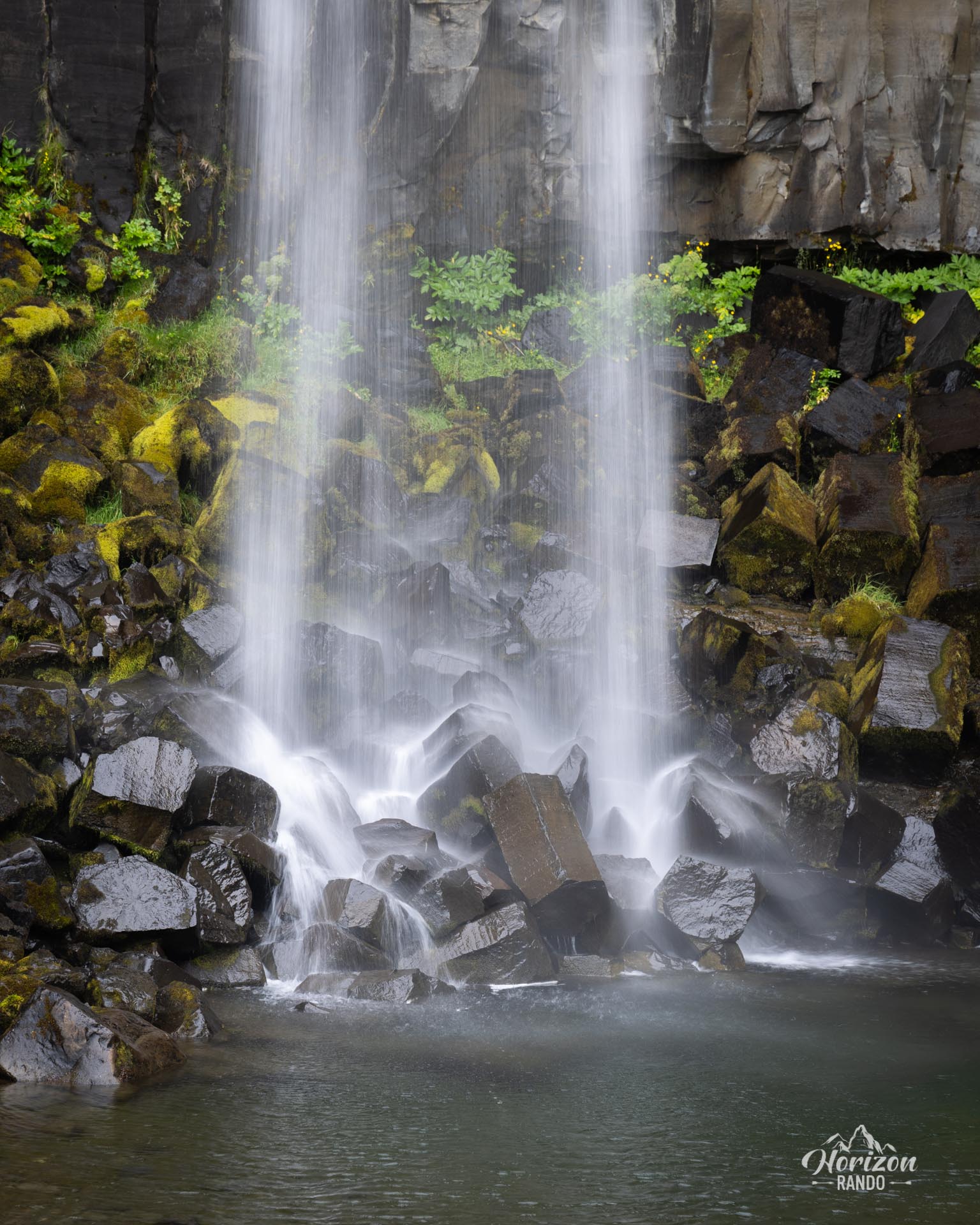
- The Svartifoss waterfall at the start of the trail, surrounded by spectacular hexagonal basalt columns.
Practical information
Parking
Paid parking at the Skaftafell Visitor Center (indicative price in 2025: ISK 1,000, or about €7 per car).
Alternative route
If you are afraid of heights or simply want to avoid technical and exposed passages, take the loop without going to the summit of Kristínartindar (see map). You will still enjoy magnificent panoramic views, particularly of the Skaftafellsjökull glacier. The hike remains challenging due to its length but is neither technical nor vertiginous.
Visitor center
The Skaftafellsstofa information center is open year-round. There, you can find rangers who can advise you on the trails, as well as an exhibition on the region's geology and glaciers.
Photos
See all 20 photos →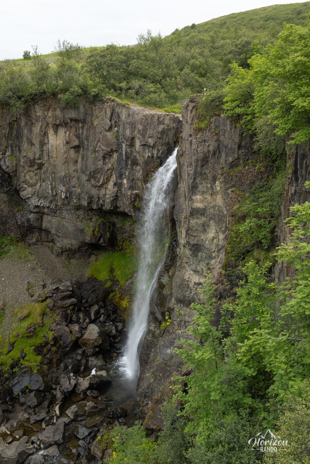
More hikes to do in Iceland
Nearby hikes














Printed from www.horizonrando.fr/en/iceland/kristinartindar/