






Grænihryggur Hike
Key facts about the hike
- Difficulty
- Hard Hikes are rated from very easy to very hard: my difficulty scale
- Duration
- 6h30 Estimated time, short breaks included (photos, water, snacks), picnic not included: how it is calculated
- Distance
- 15.7km
- out and back
- Elevation gain
- 910m
- Type of route
- Out and back
- Maximum altitude
- 815 m
- Vertiginous Five levels, depending on how exposed the route is: the levels in detail
- Moderately
- Marked
- Yes
- Popularity
- Low
- Region
- Highlands
- Start point
- 63.98522, -18.96734
- Activity
- Hiking
Hike overview
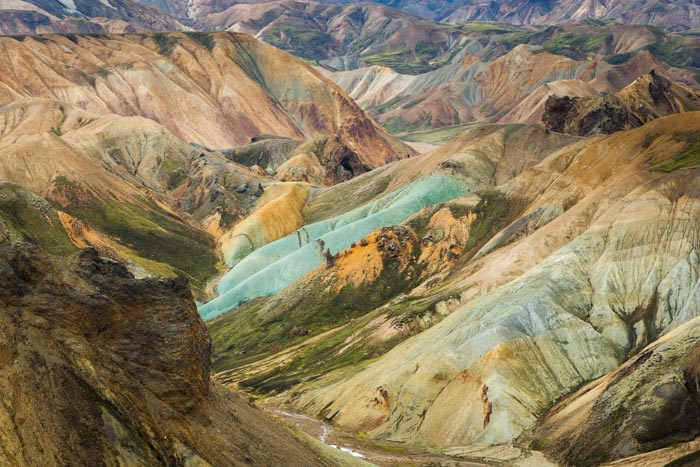
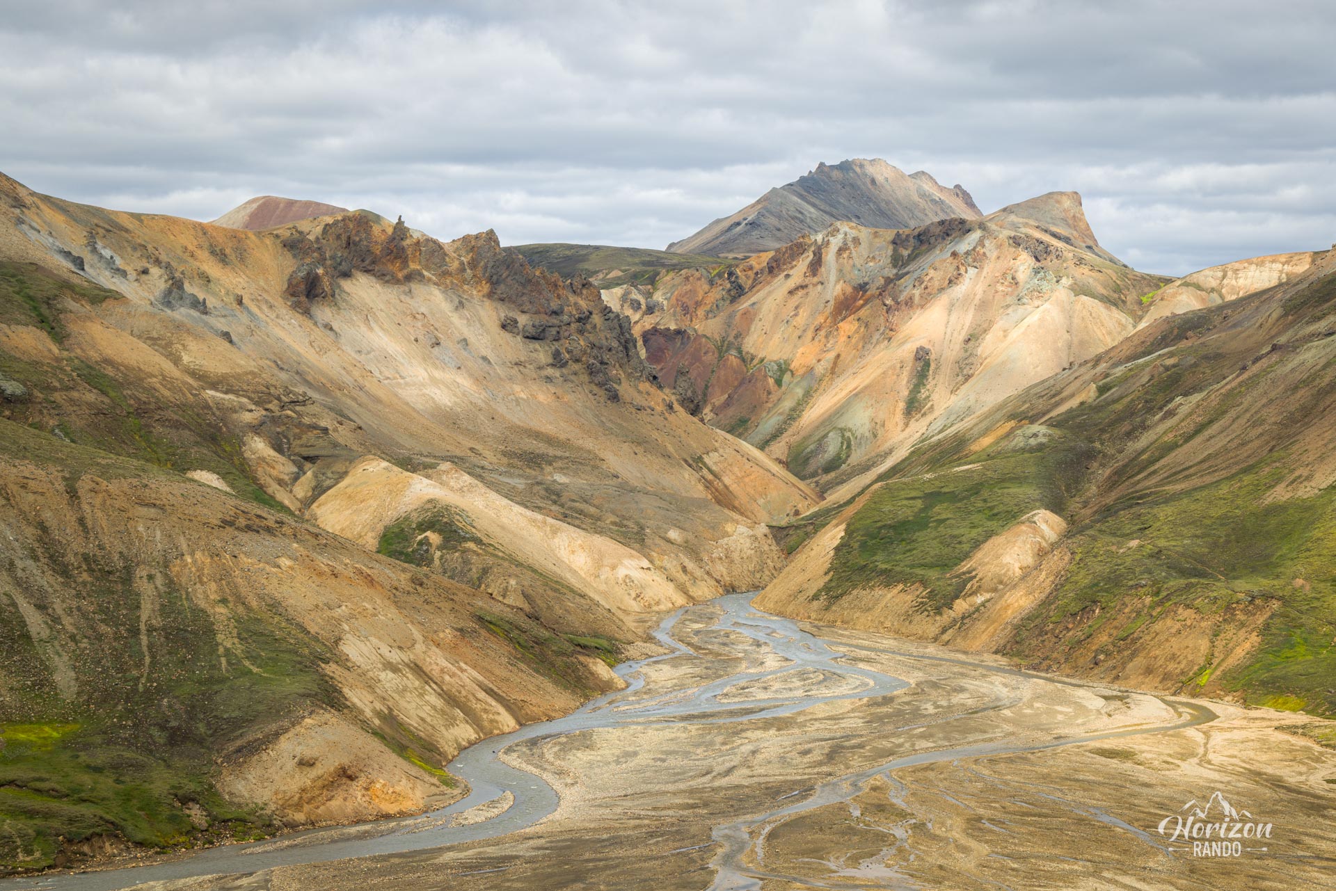
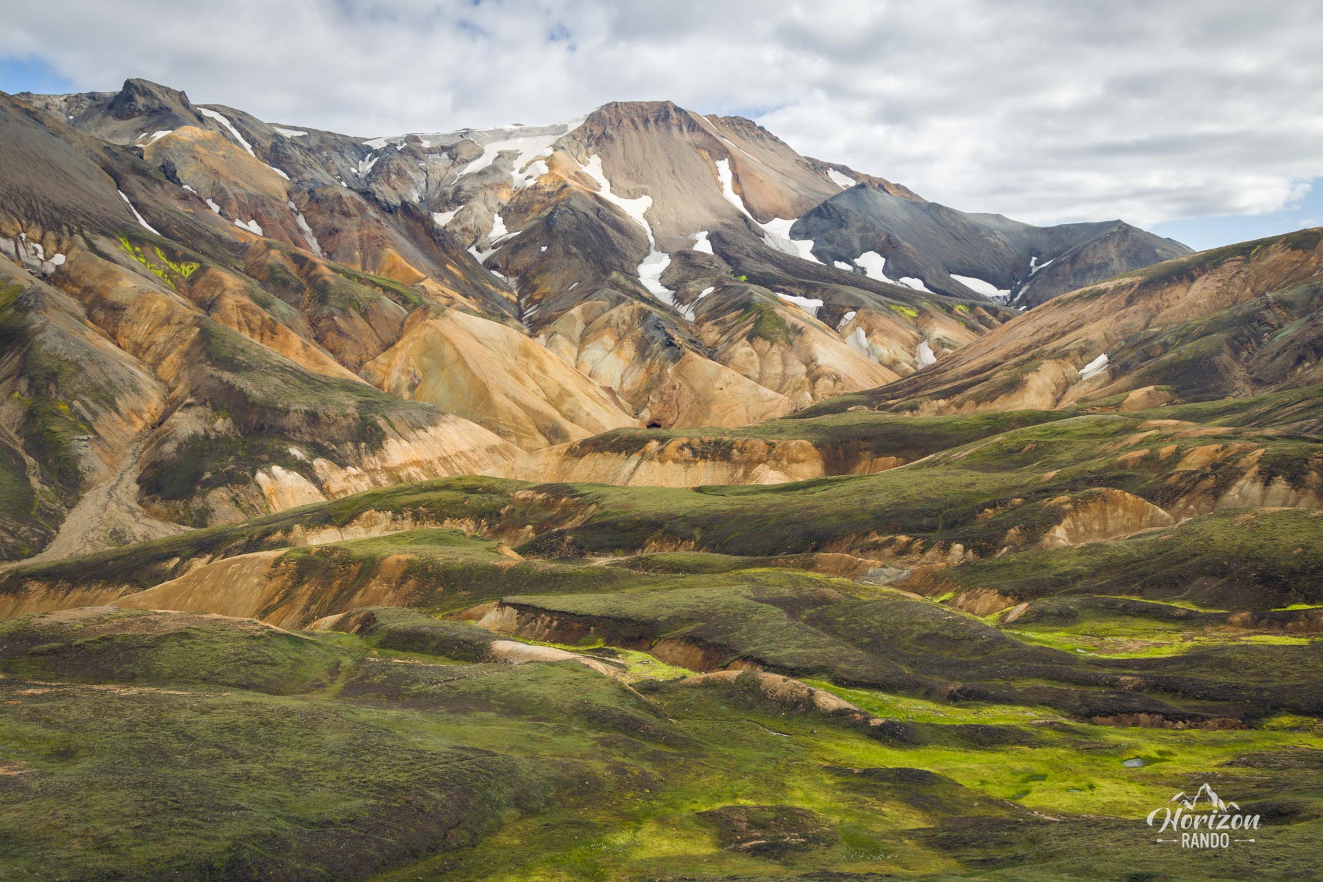
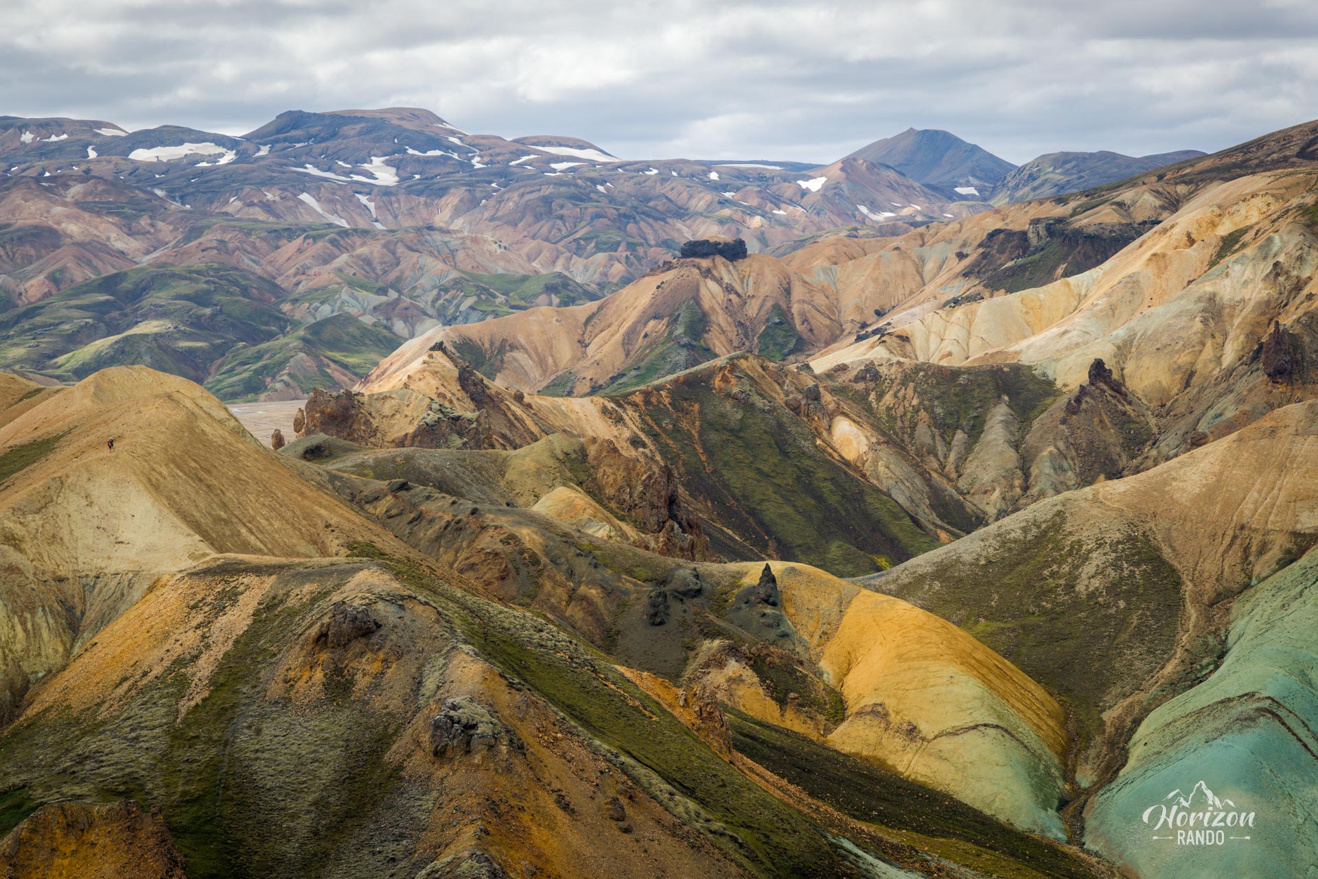
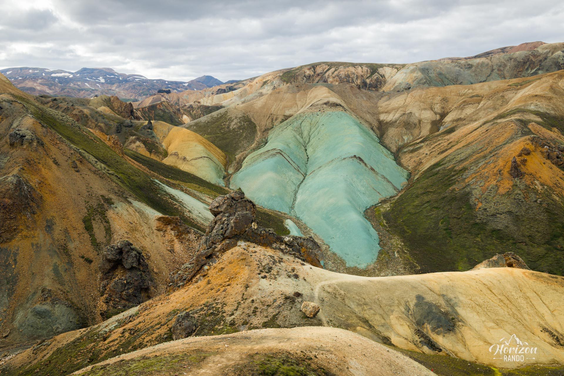
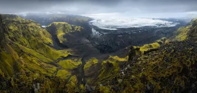
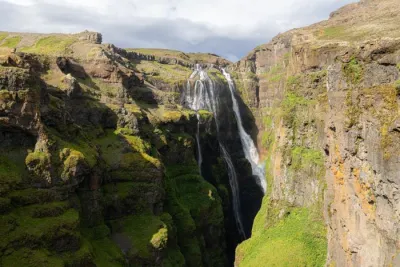
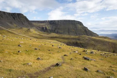
The hike to Grænihryggur (Green Ridge) is one of the most beautiful in the Fjallabak Nature Reserve, offering breathtaking views and spectacular colors. Yet, it remains one of Iceland's best-kept secrets, with few hikers, even during the high season! It is one of the few hikes where you will encounter more Icelanders than tourists!
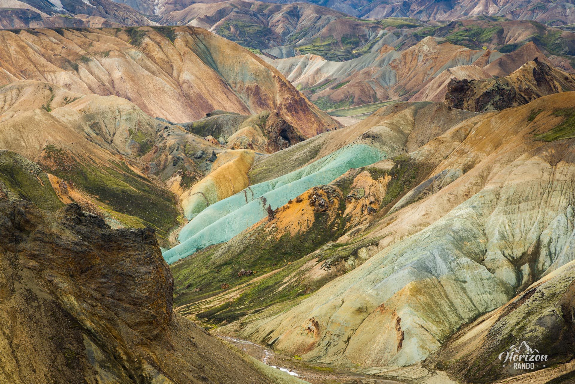
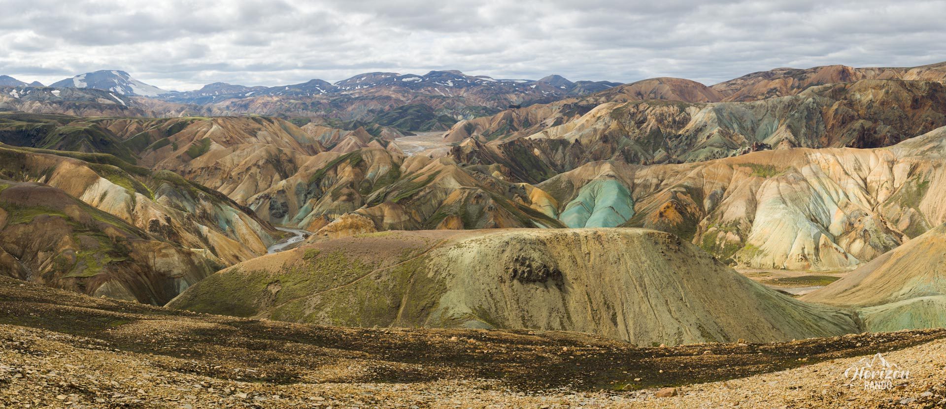
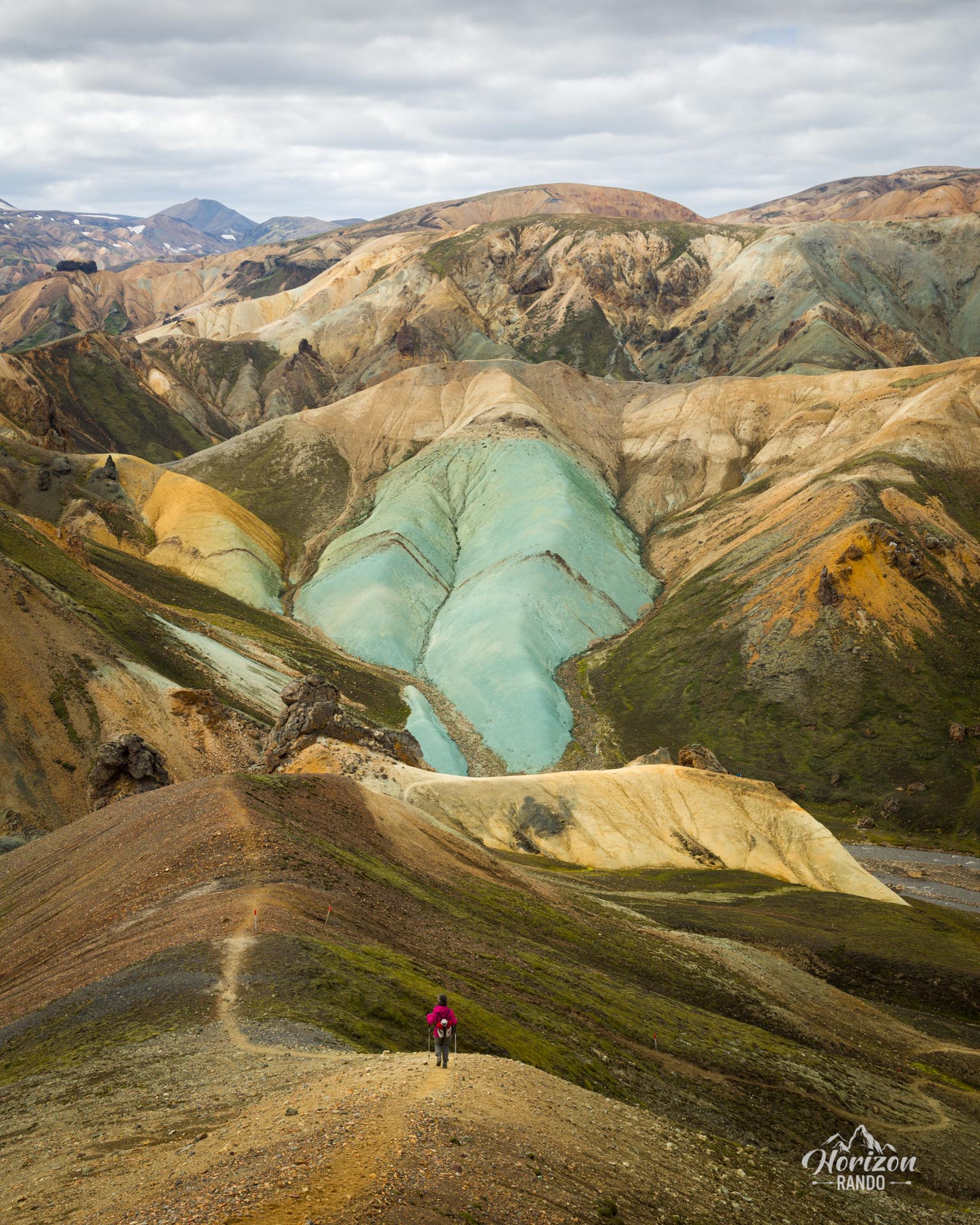
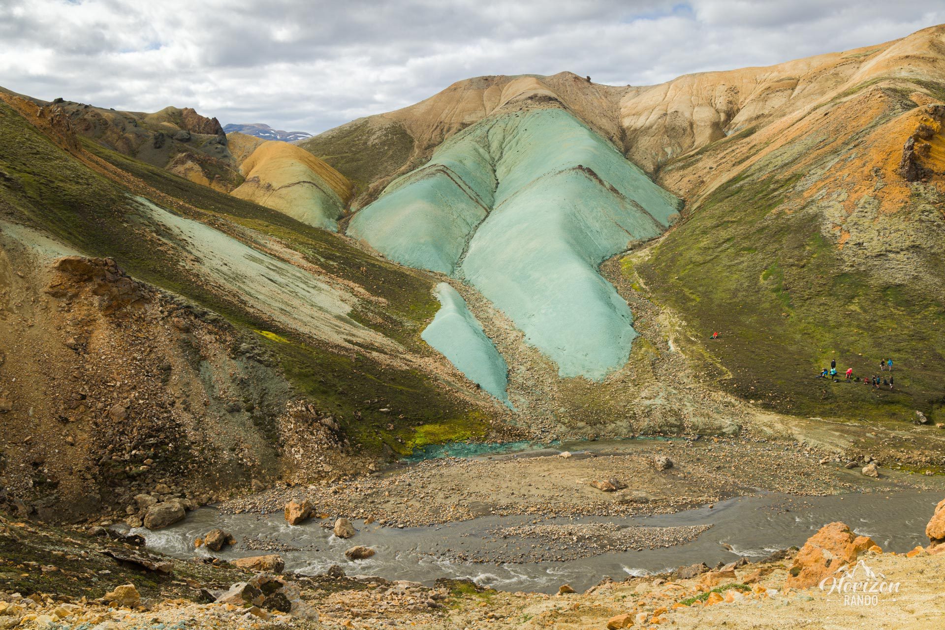
While the beginning of the hike may seem relatively conventional, what follows will take your breath away. The main objective is the Grænihryggur ridge, made of cyan green rhyolite, but every turn along the way holds surprises. You won't regret choosing this hike!
Map and elevation profile of the hike
Grænihryggur Hike
Difficulties of the hike
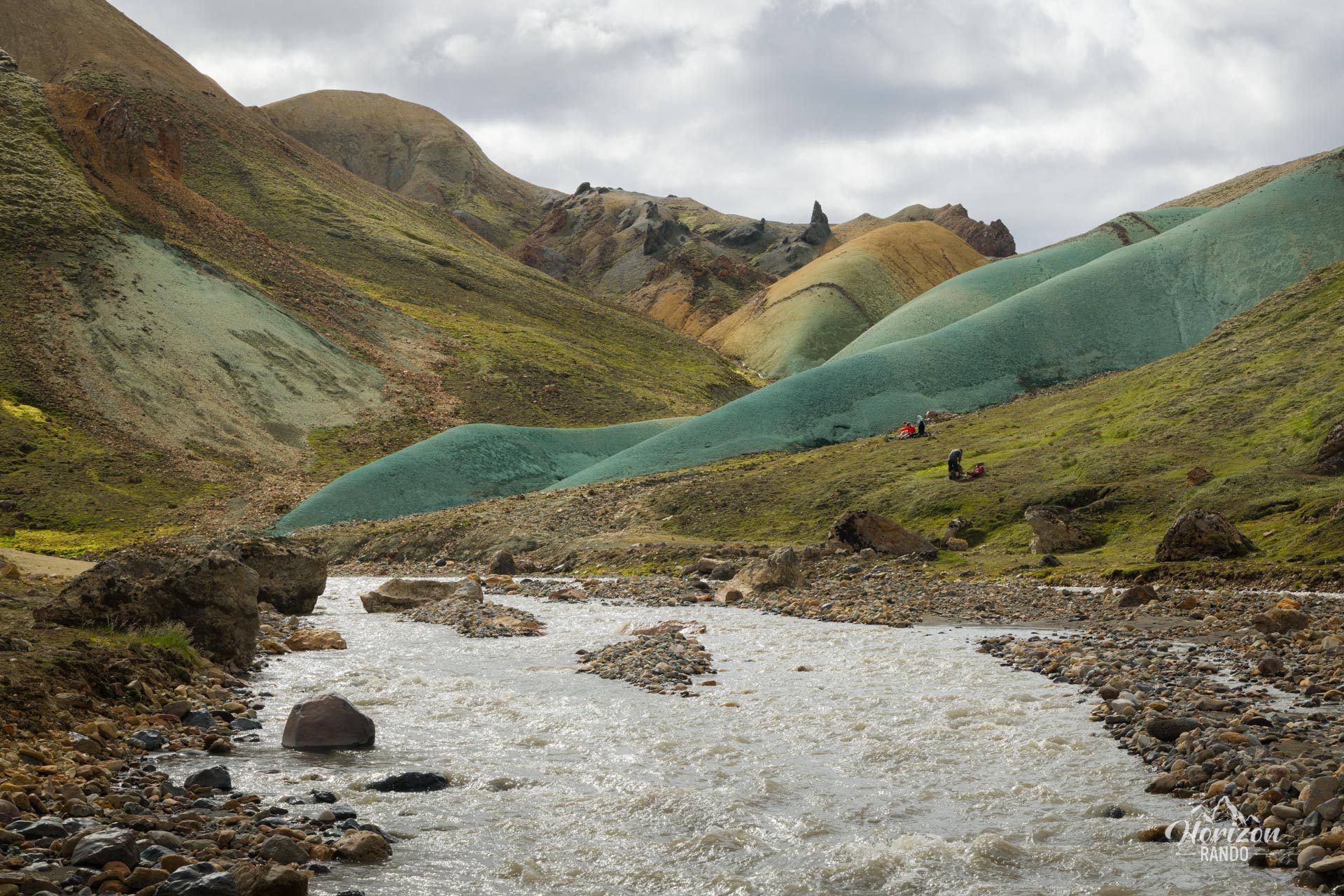
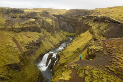
The trail is well-marked, but the effort required shouldn't be underestimated. Its level of difficulty is mainly due to the numerous steep ascents and descents, which are sometimes slippery. Additionally, you will need to ford the Jökulgilskvísl glacial river, which may require walking through icy water depending on the water level.
What you'll love
- The Grænihryggur ridge itself, a rhyolite formation with otherworldly green and cyan colors.
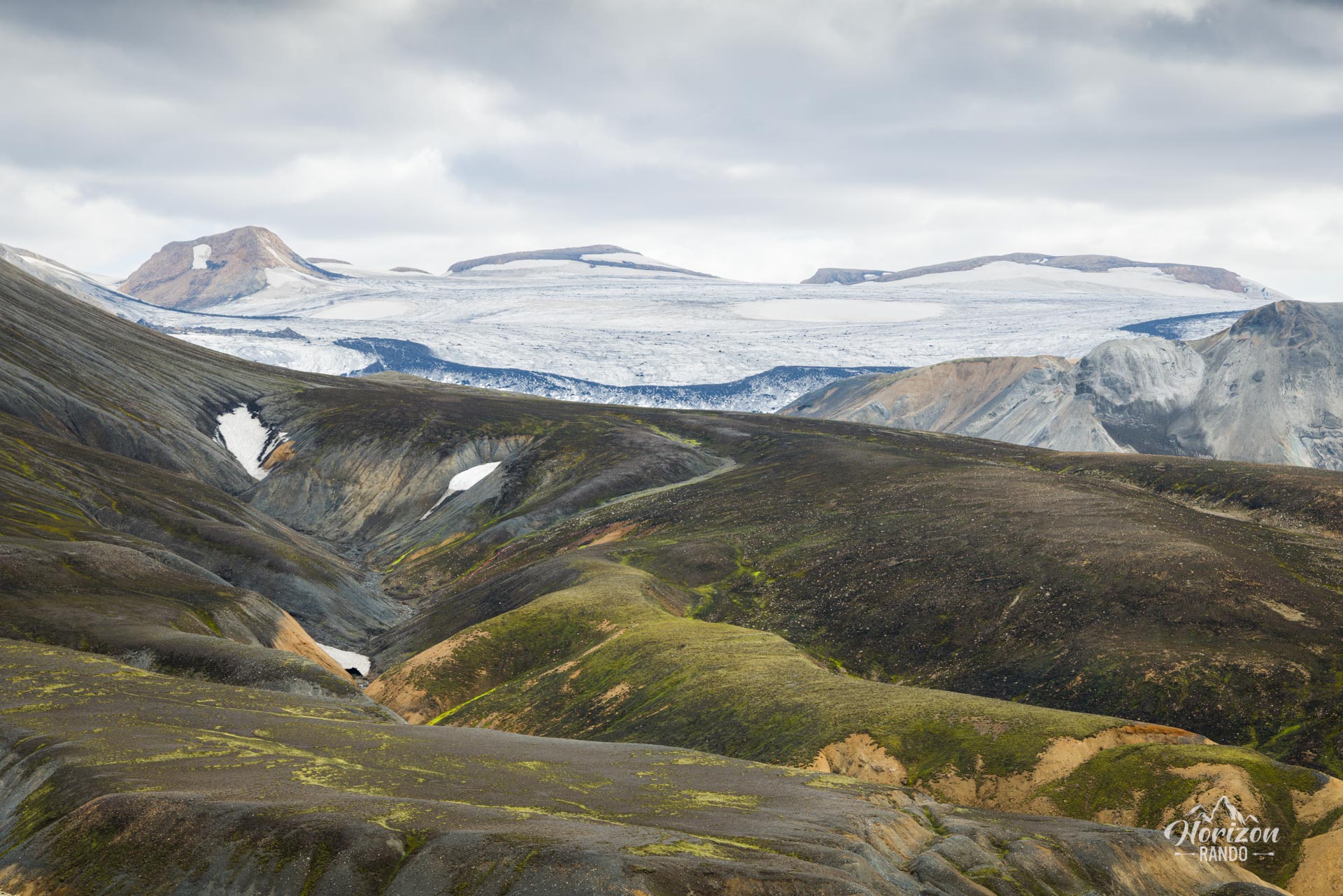
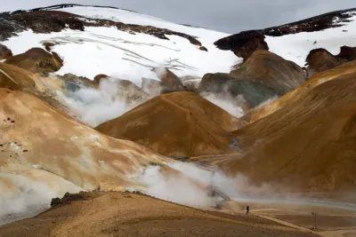
- Breathtaking views of the Jökulgil canyon and the multicolored rhyolite mountains characteristic of the Landmannalaugar region, creating a natural kaleidoscope of colors.
- The feeling of adventure and total solitude in one of Iceland's most unspoiled and wild landscapes.
Practical information
Access
F-roads are only open in the summer, and a 4WD vehicle is required. There are three options for reaching the starting point:
- The F208 road from the north is the easiest and does not require crossing any rivers.
- The F225 road is more scenic, but it requires crossing several shallow rivers.
- The F208 road from the south crosses several medium-depth rivers.
Further reading
See the section on driving in the Highlands for more information, particularly on crossing rivers.
Photos
See all 21 photos →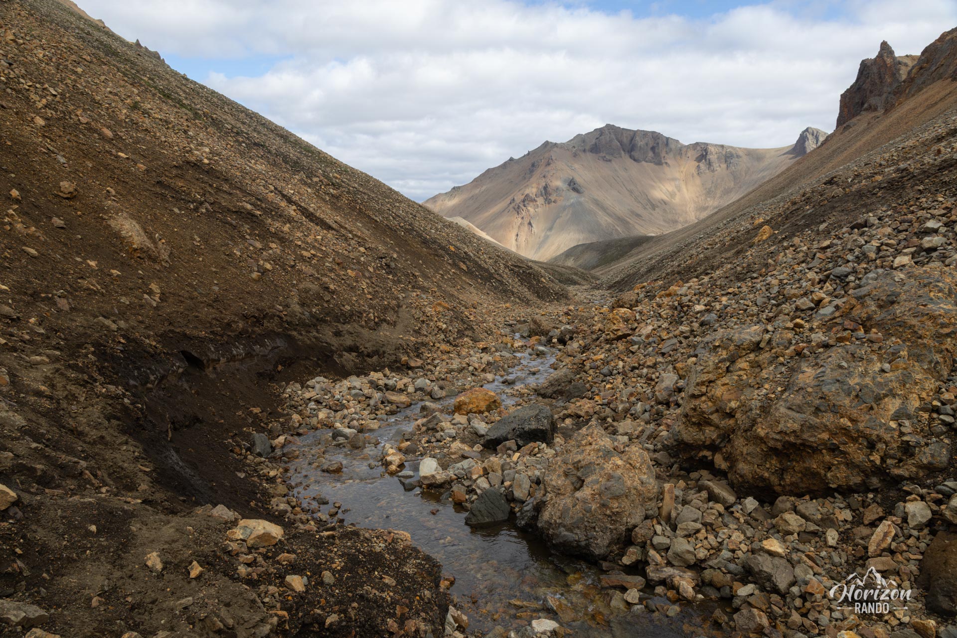
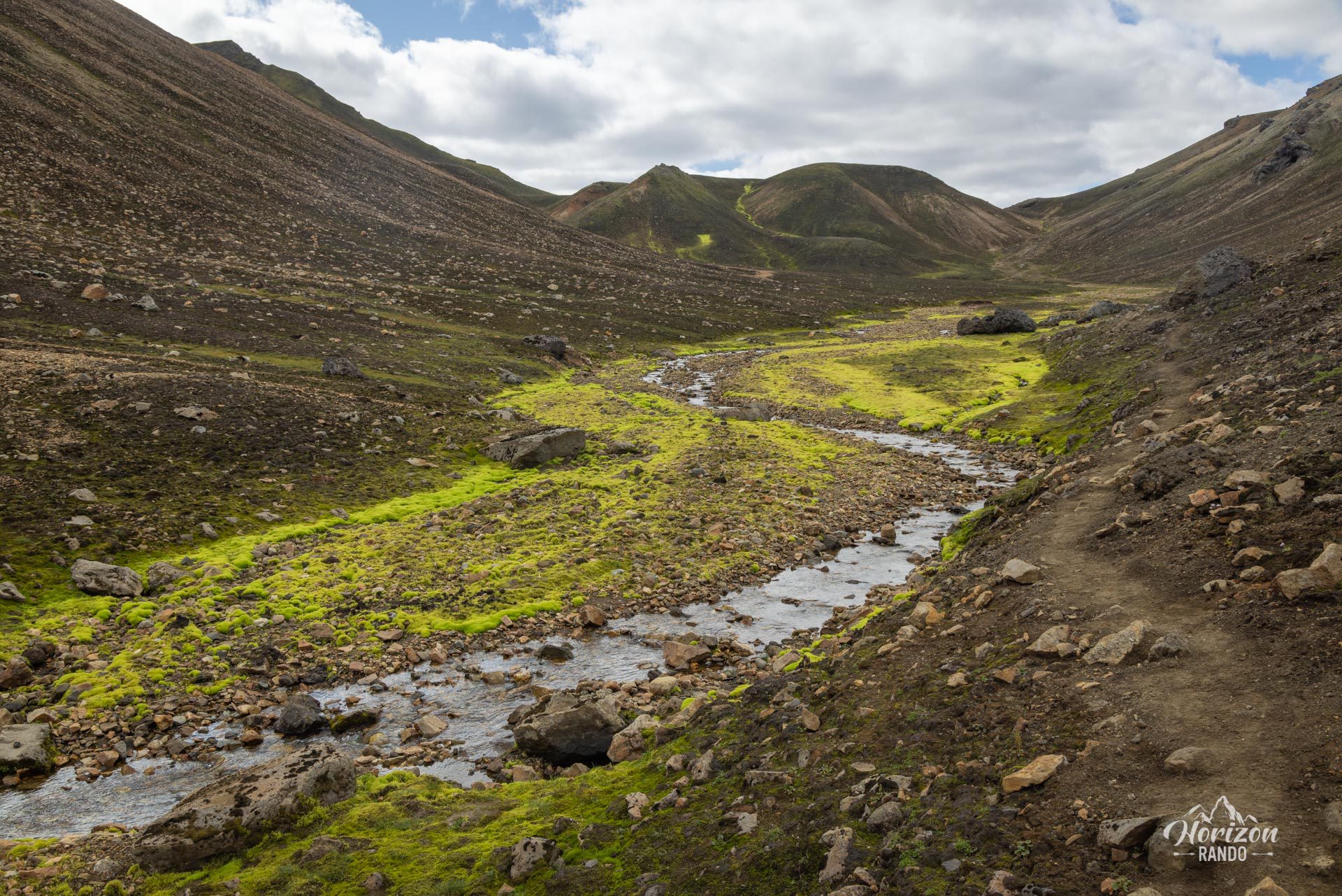
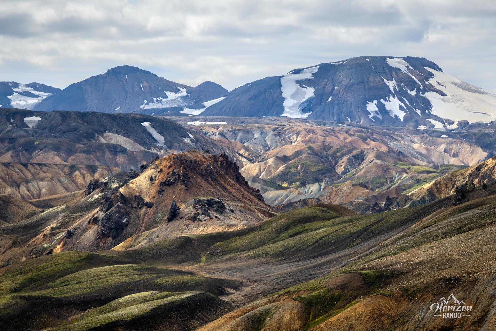
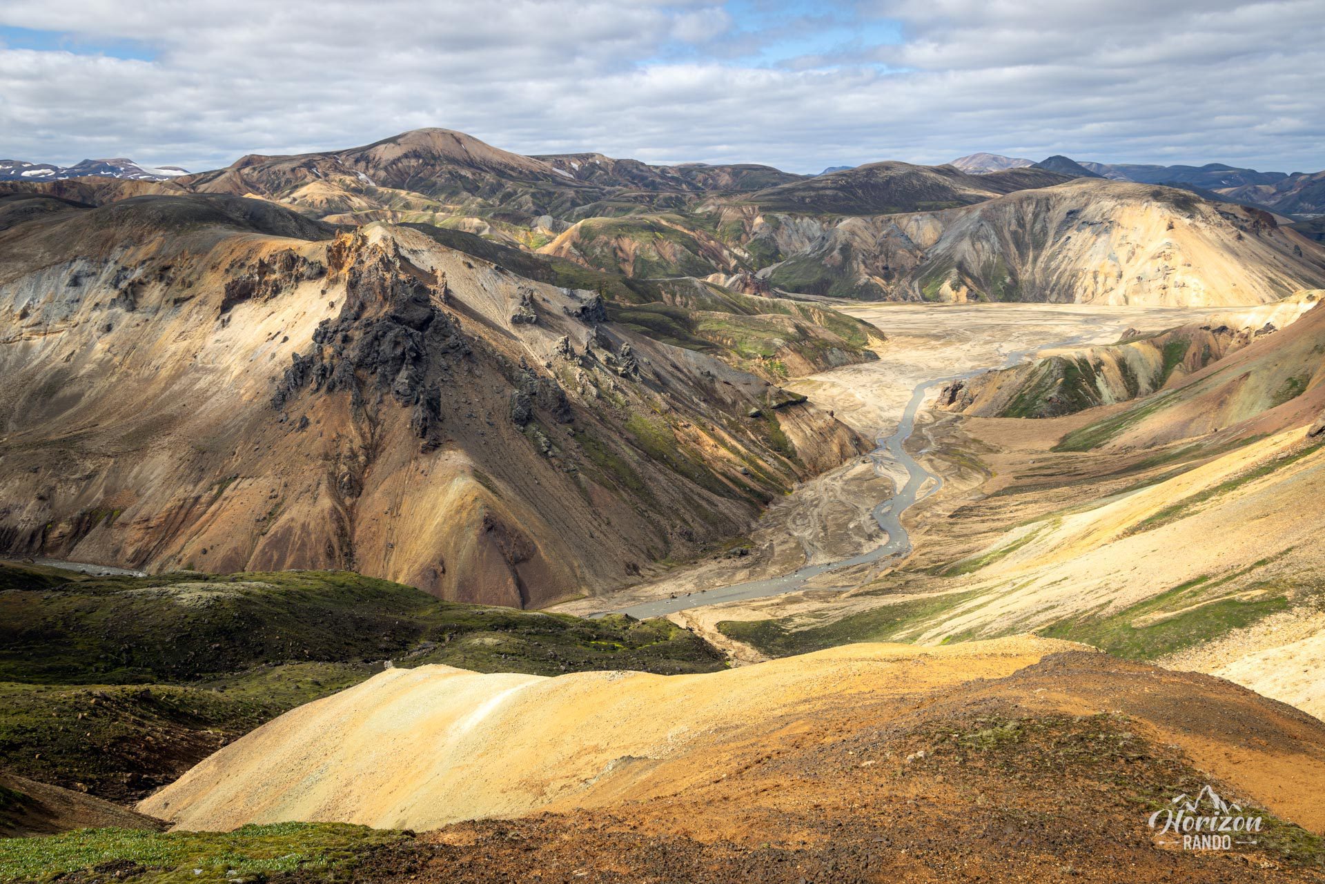
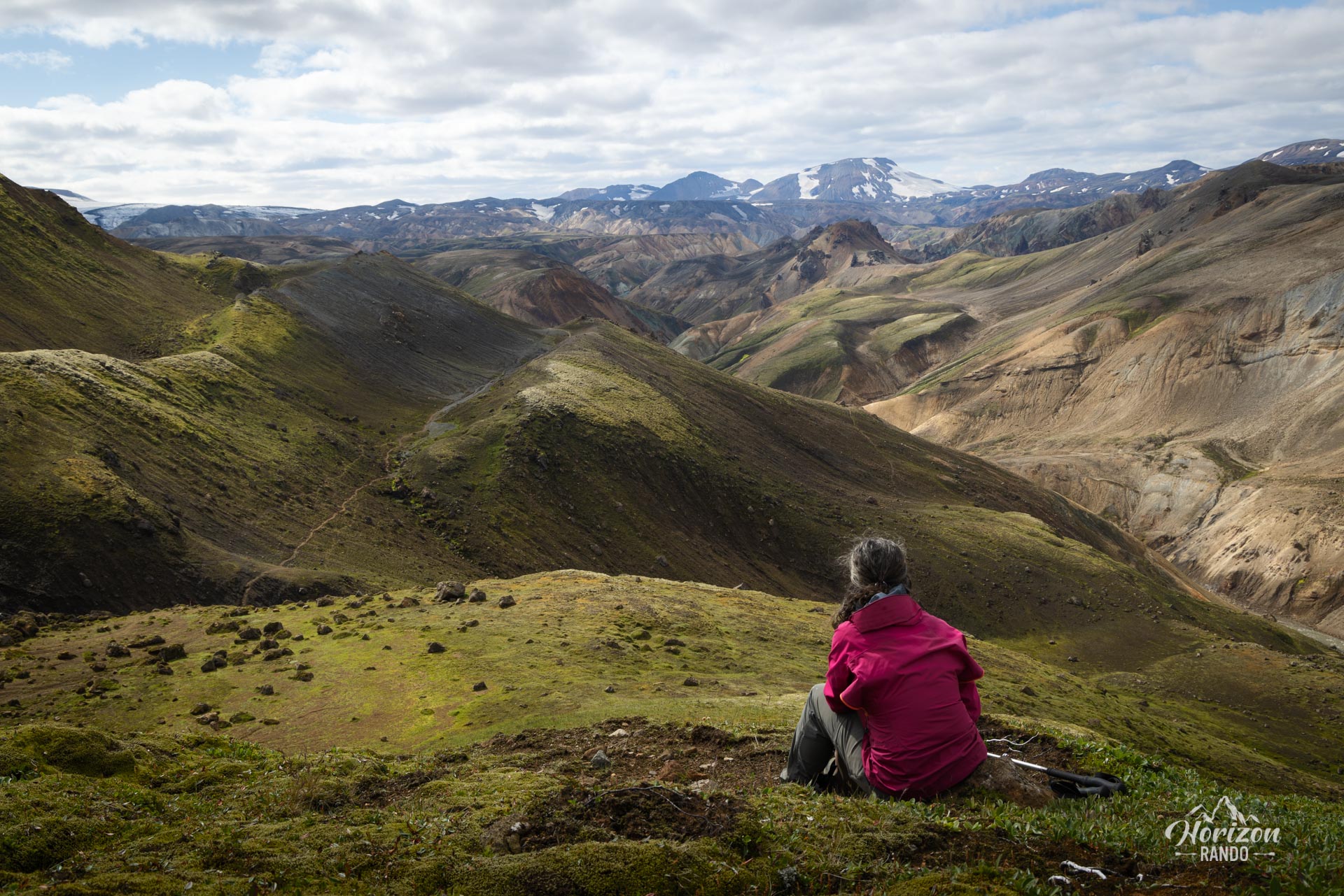
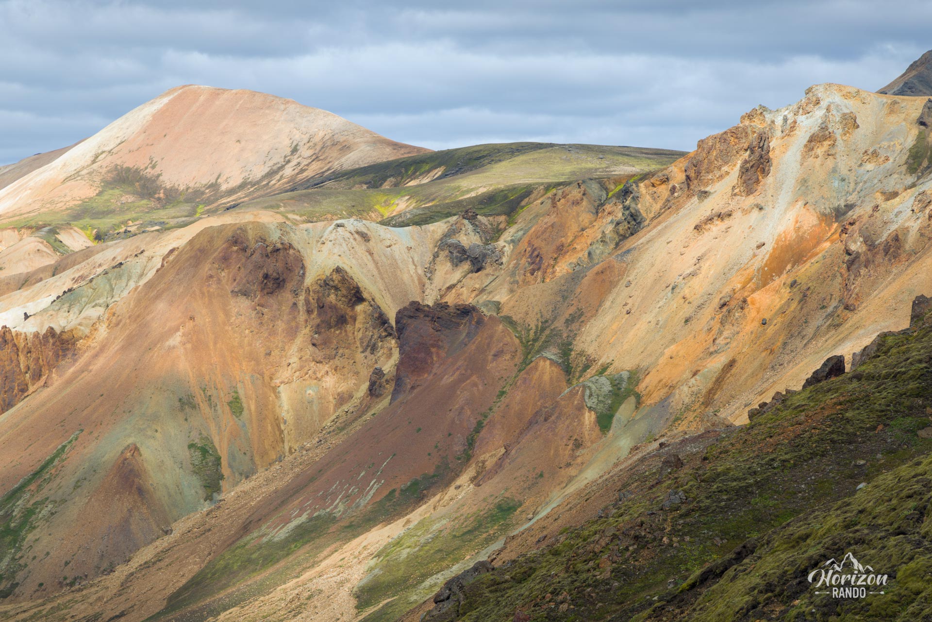
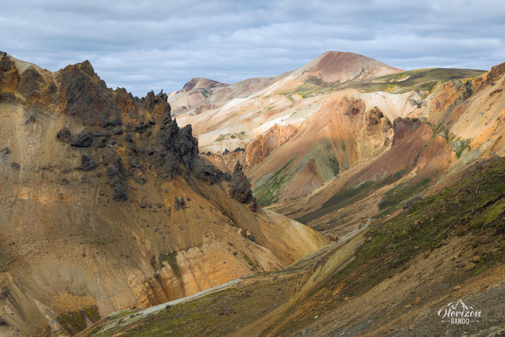
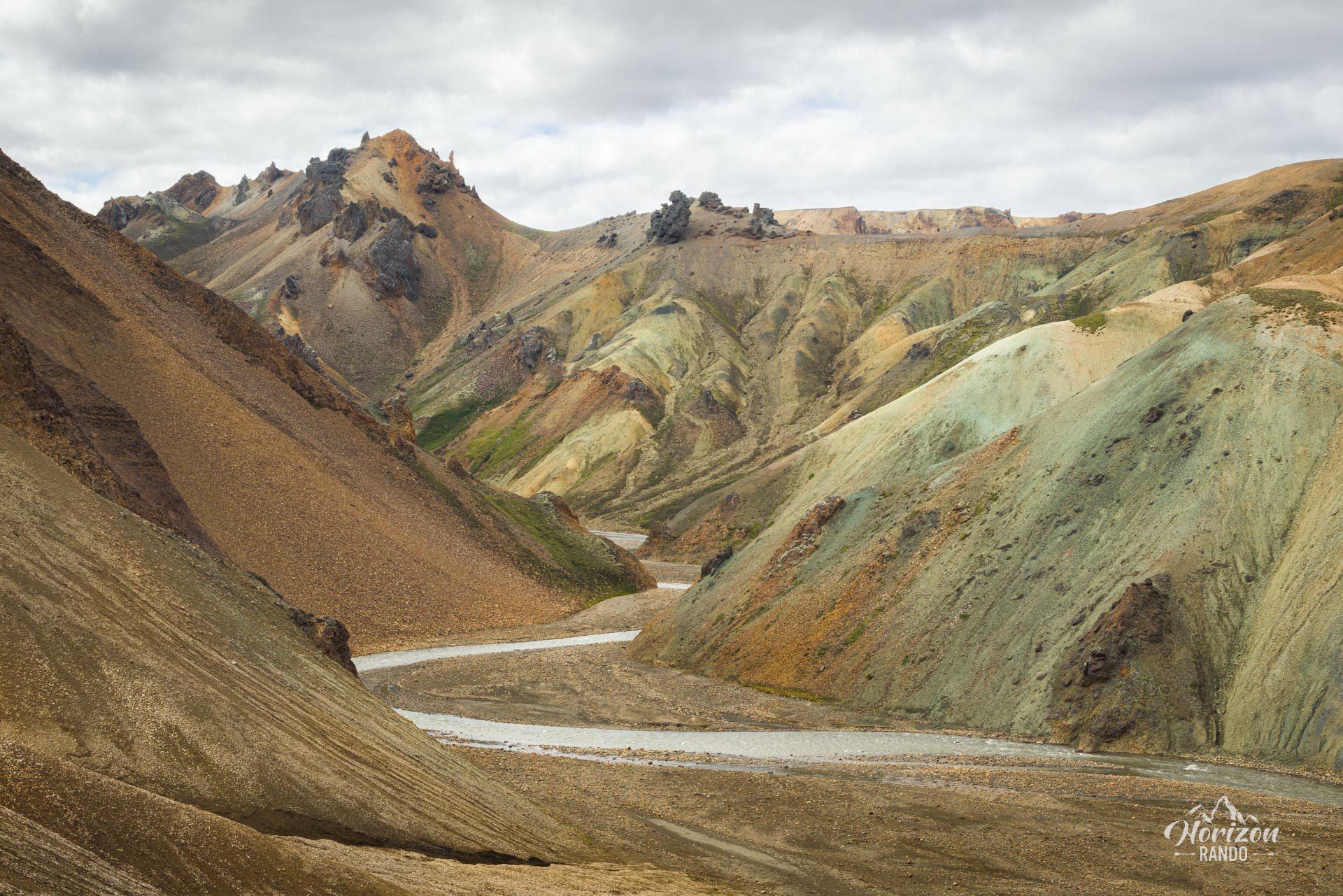
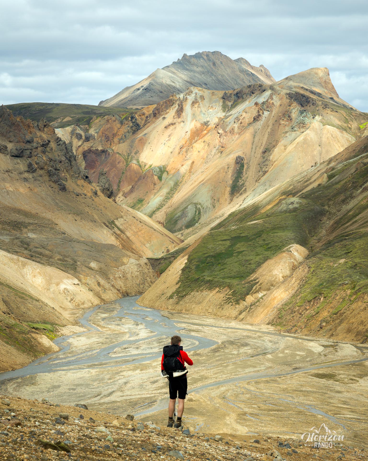
More hikes to do in Iceland
Nearby hikes















Printed from www.horizonrando.fr/en/iceland/graenihryggur/