





Hveradalir Geothermal Area Hike
Key facts about the hike
- Difficulty
- Easy Hikes are rated from very easy to very hard: my difficulty scale
- Duration
- 2h Estimated time, short breaks included (photos, water, snacks), picnic not included: how it is calculated
- Distance
- 4.3km
- Elevation gain
- 320m
- Type of route
- Loop
- Maximum altitude
- 1,025 m
- Vertiginous Five levels, depending on how exposed the route is: the levels in detail
- No
- Marked
- Yes
- Popularity
- Moderate
- Region
- Highlands
- Start point
- 64.64632, -19.27921
- Activity
- Hiking
Hike overview
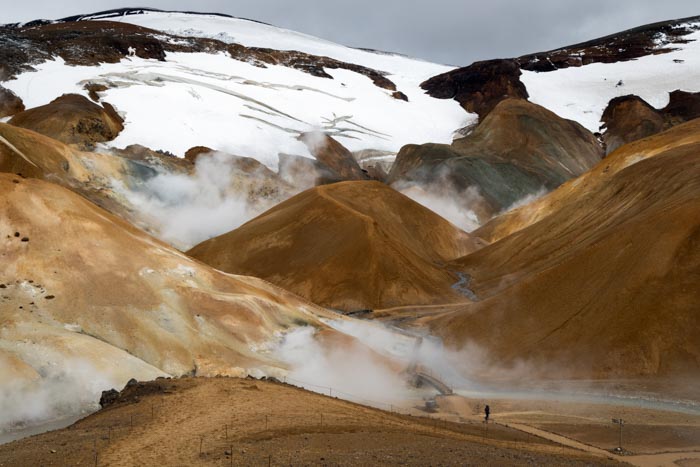
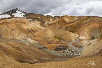
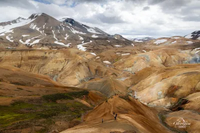
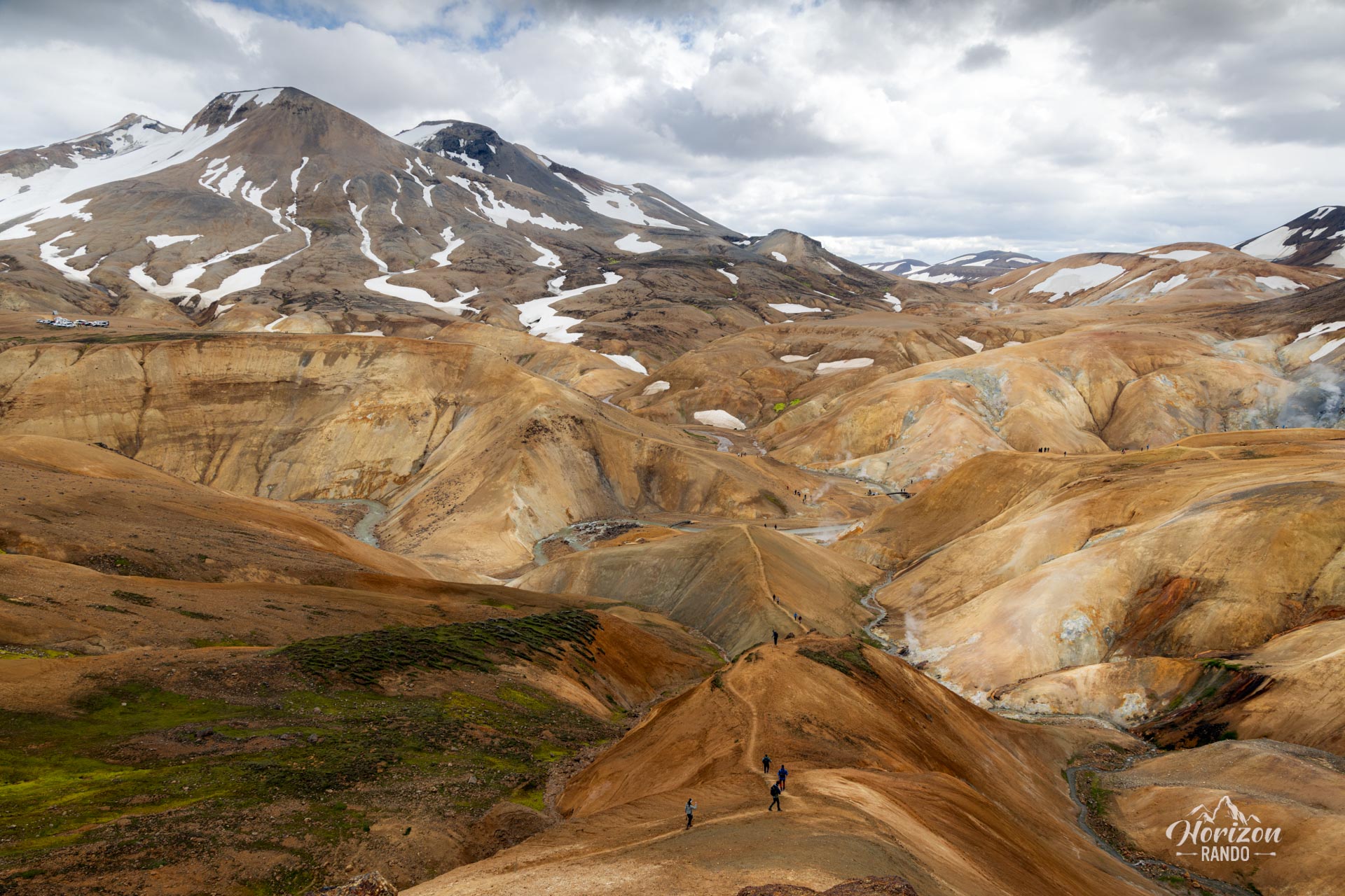
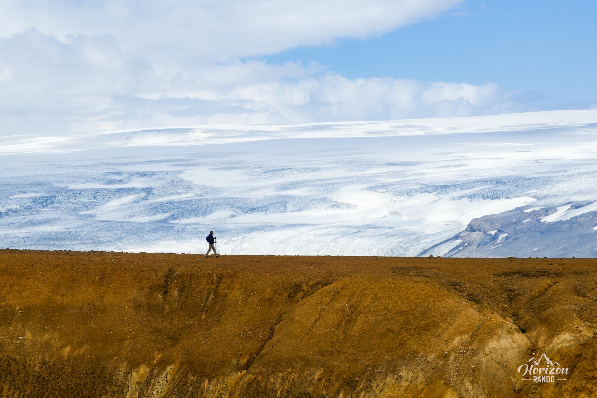
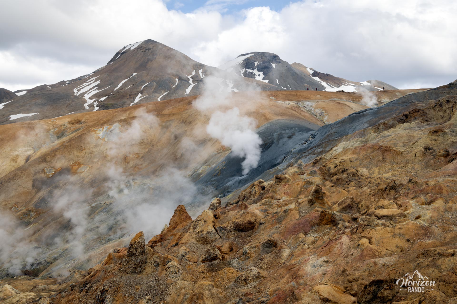
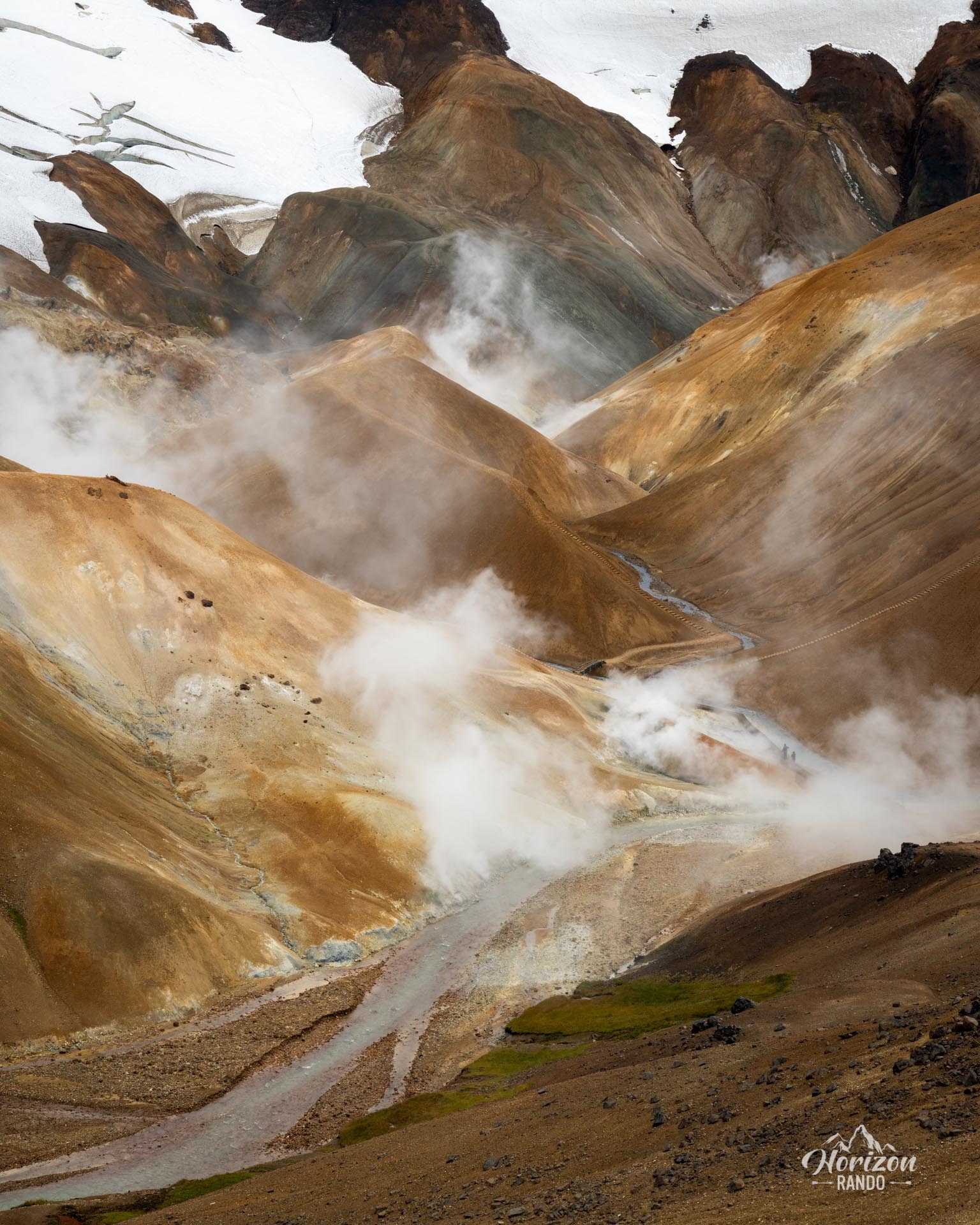
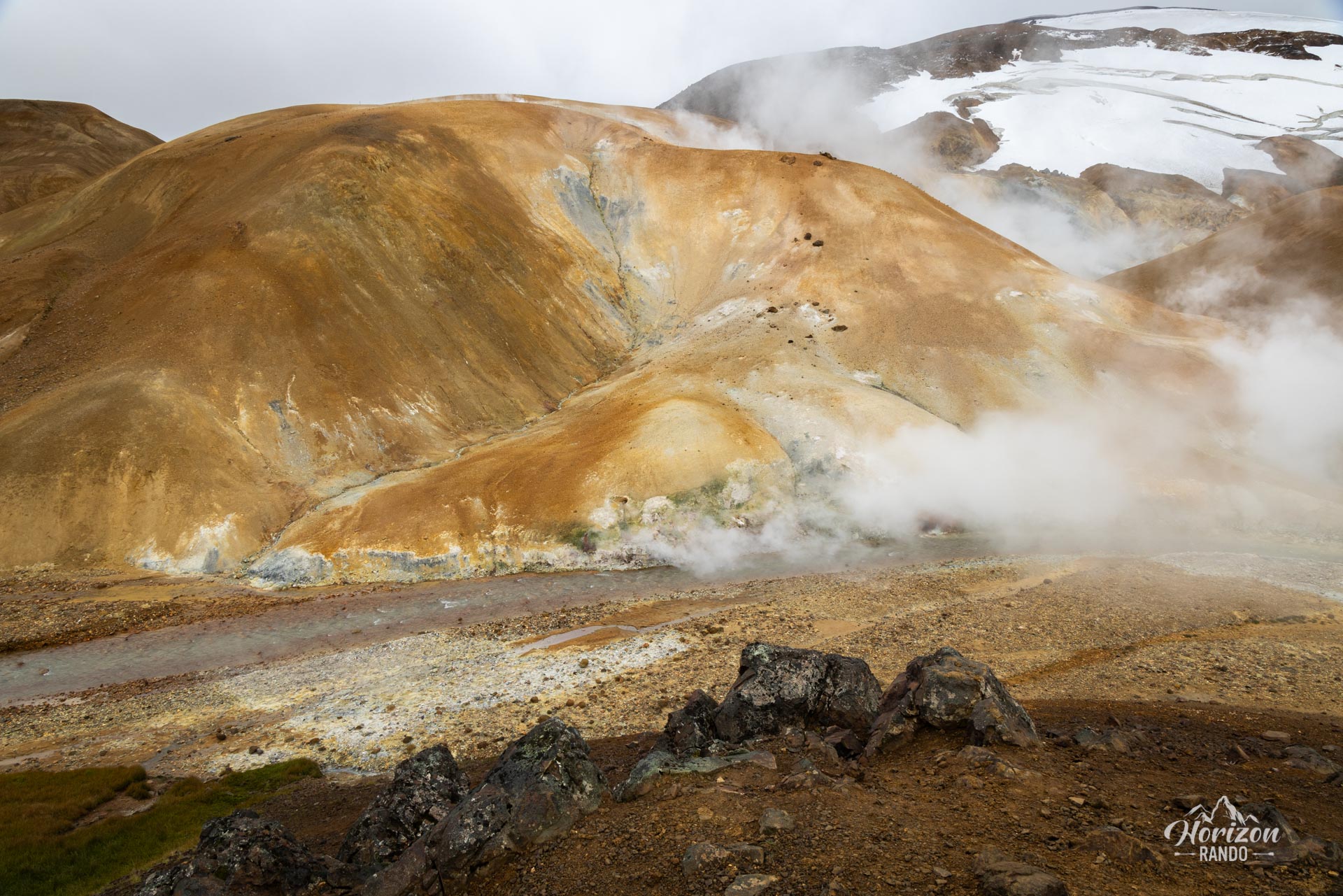
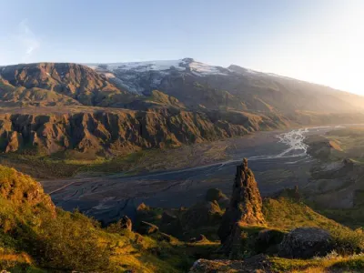
Hveradalir is located in the heart of the Icelandic Highlands and is one of the country's largest geothermal areas. Surrounded by the majestic Kerlingarfjöll mountain range, which is composed of rhyolitic rock, it offers a colorful natural spectacle.
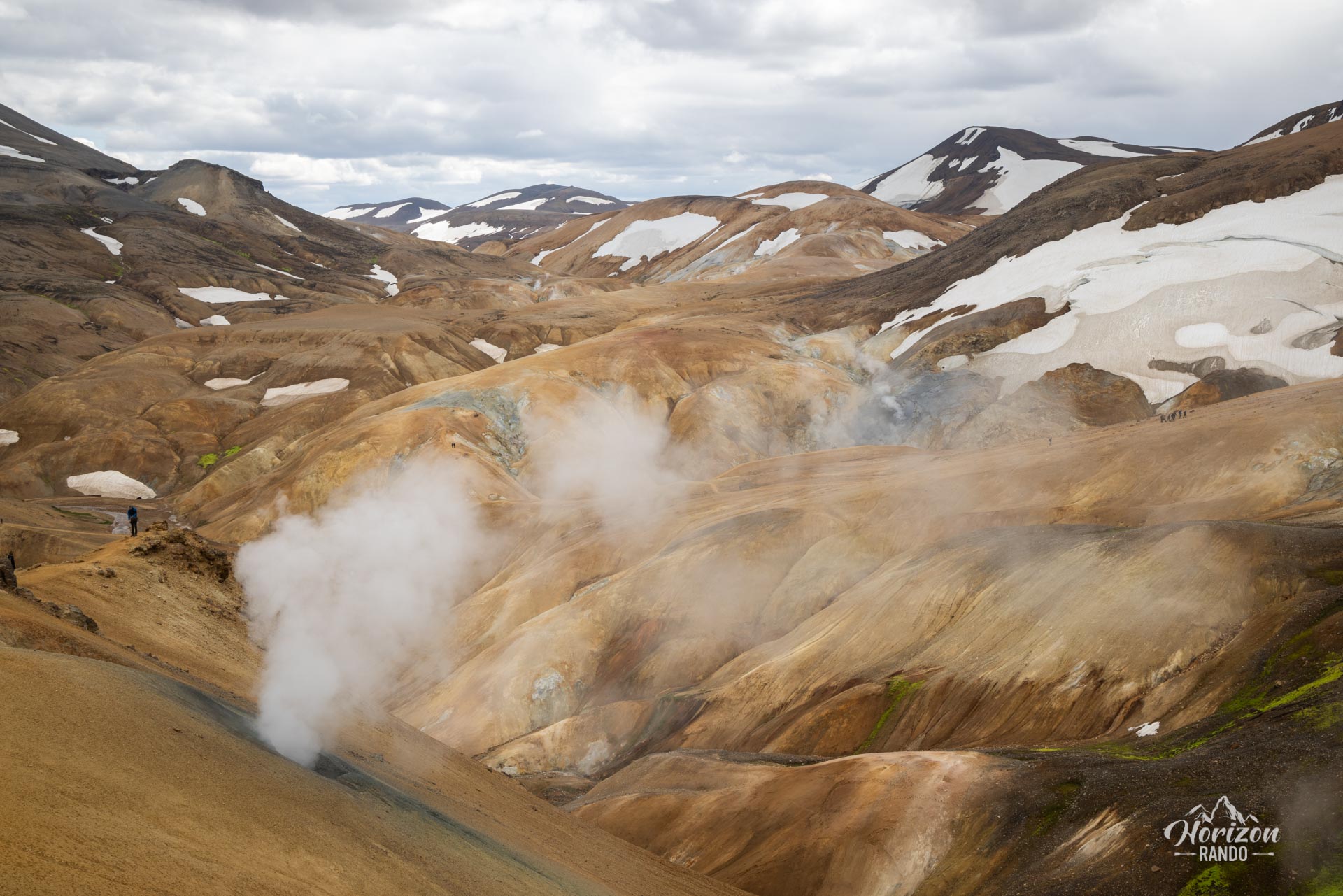
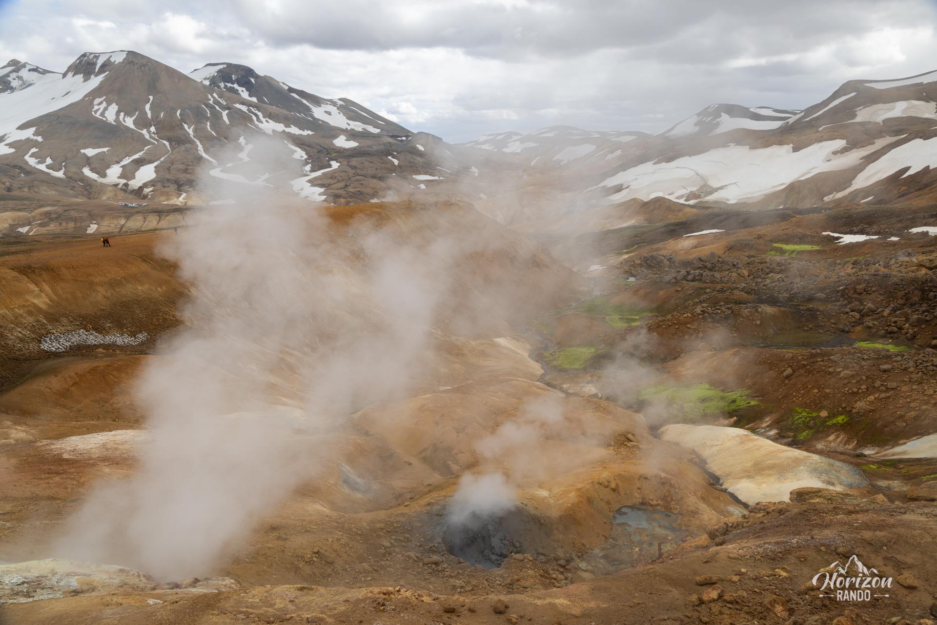
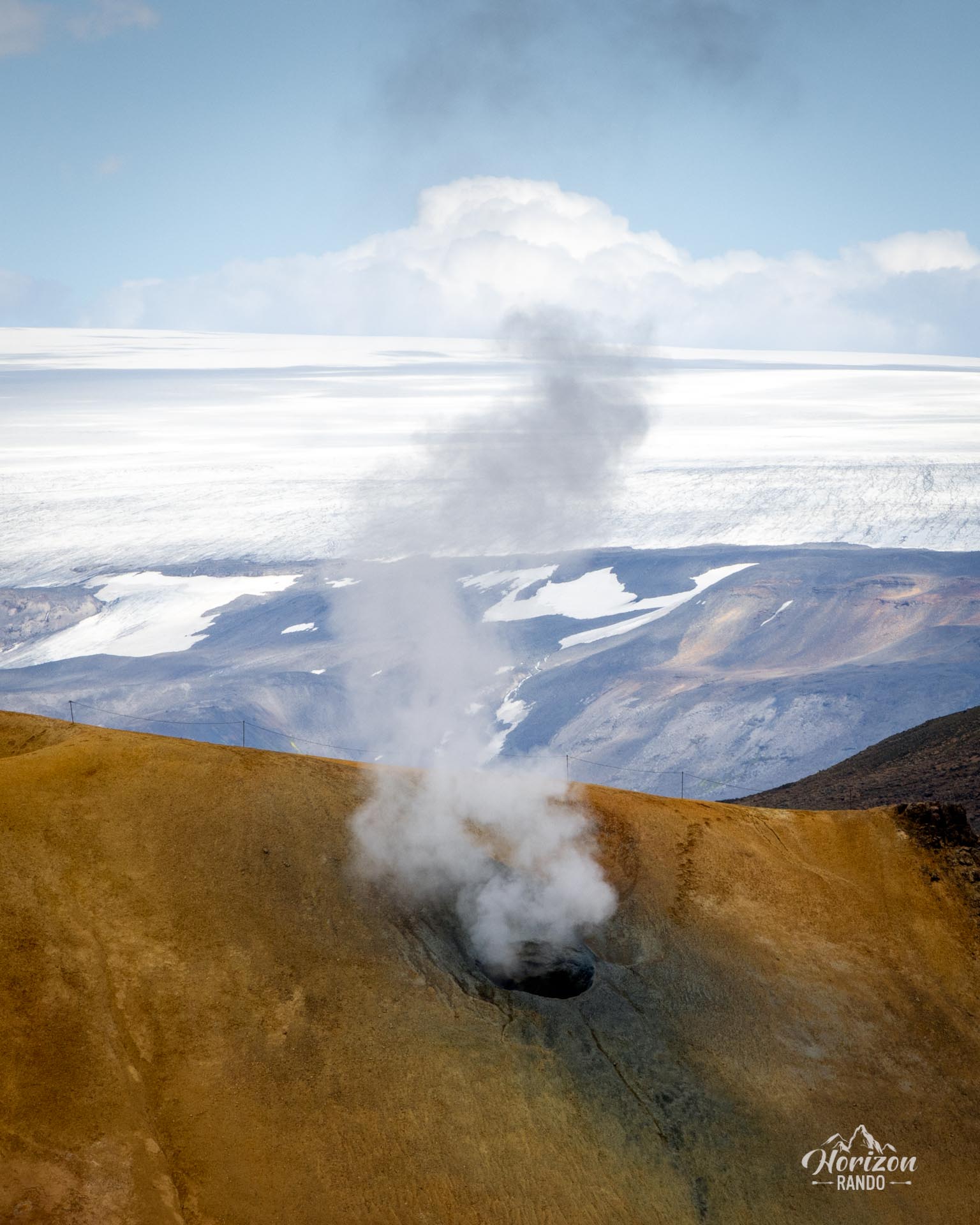
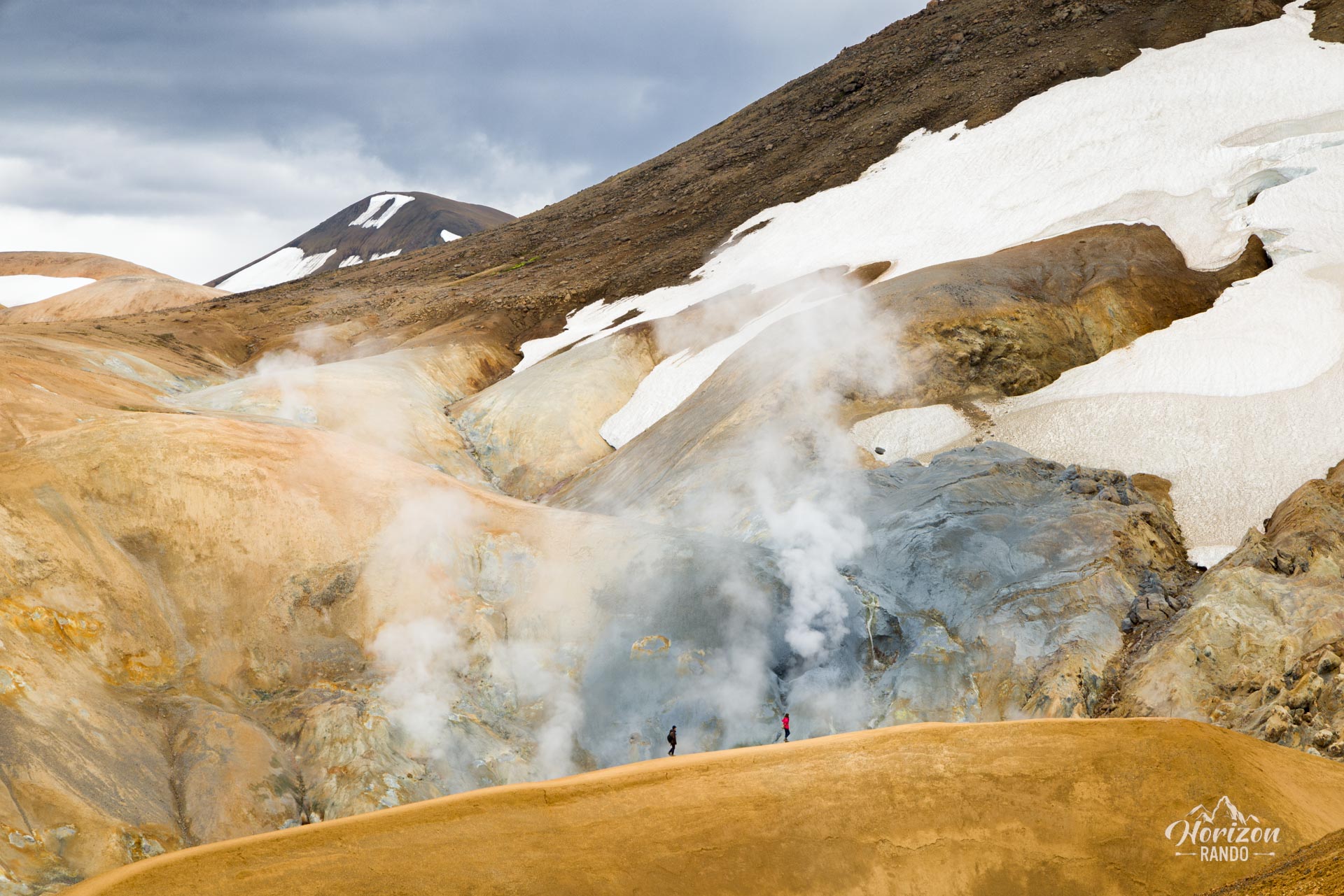
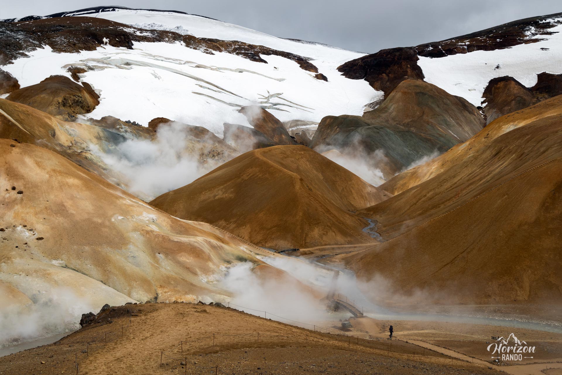
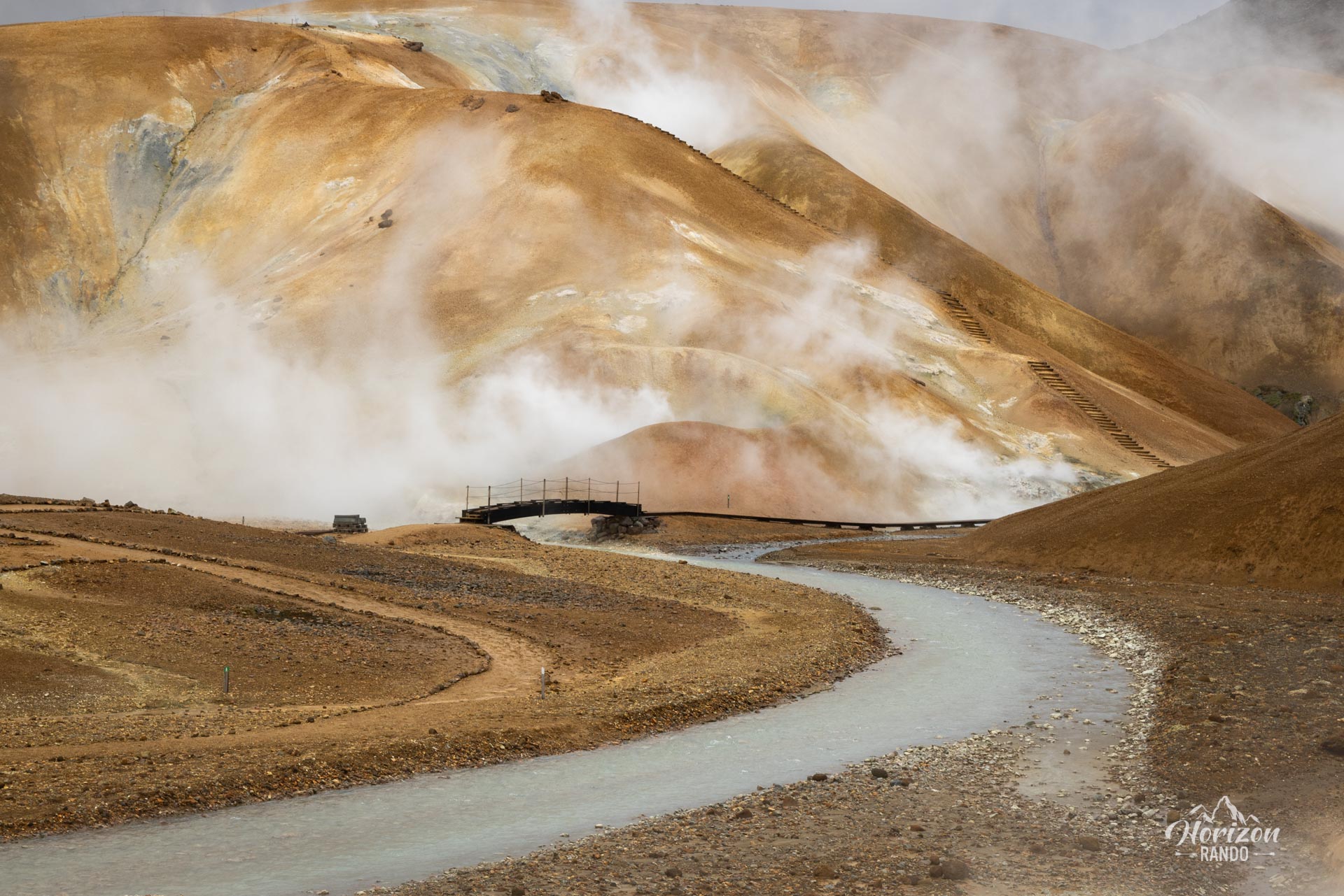
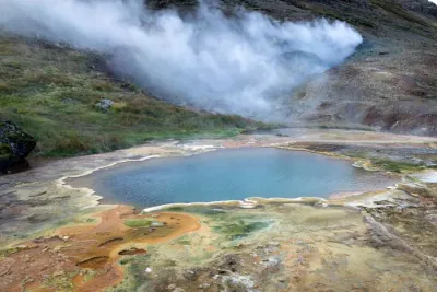
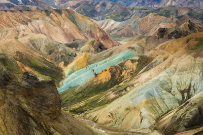
As you explore this site, you will be fascinated by the area's geological complexity, where mud pools, steaming rivers, and fumaroles intermingle. Hveradalir's different shades, ranging from yellow to green and rich orange tones, give it the appearance of a painting. However, the steam rising from the earth and the hot springs crisscrossing the region are what make this place unique and alive. Sometimes, it really feels like you're on another planet.
Map and elevation profile of the hike
Hveradalir Geothermal Area Hike
Difficulties of the hike
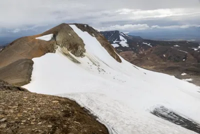
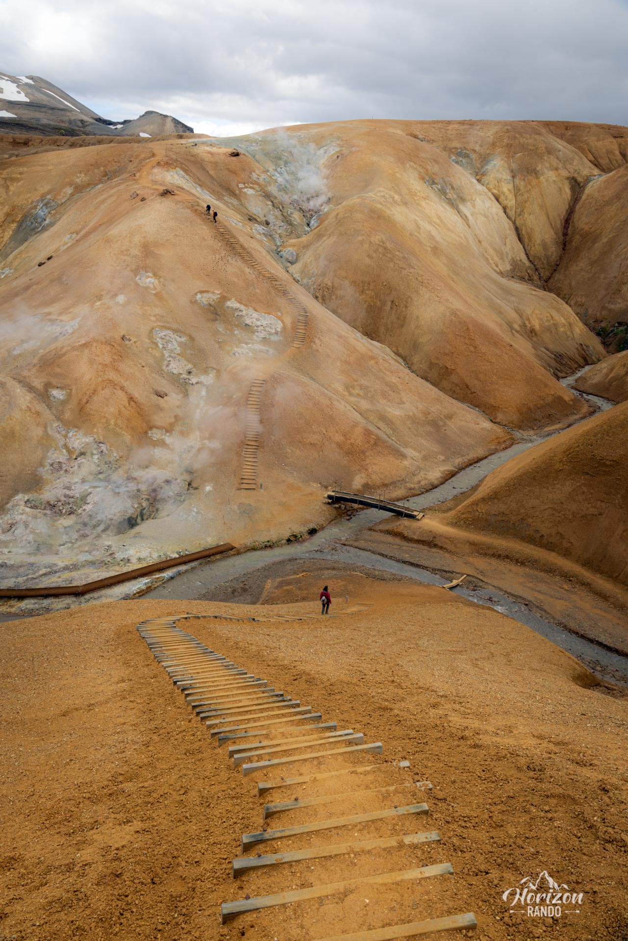
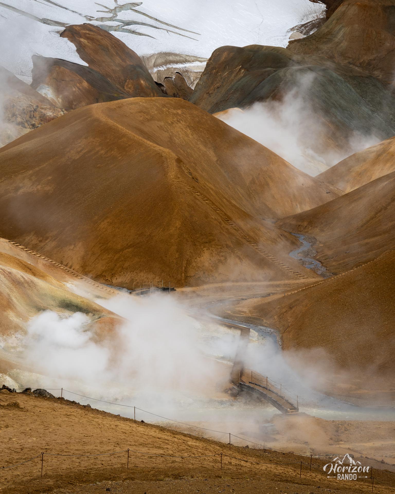
The trail is well maintained and clearly marked, with no real technical difficulty. However, despite the presence of steps and wooden walkways, the ground can become slippery in wet weather. Located at an altitude of nearly 1,000 meters, the area is exposed to changing weather conditions, including frequent fog and occasional snowfall, even in the summer.
What you'll love
- A unique geothermal landscape: Discover an exceptionally rich natural spectacle with bubbling mud pools, fumaroles, and brightly colored rock formations.
- A symphony of colors: The varied hues of the rhyolitic mountains and geothermal formations create a particularly photogenic natural tableau.
- A well-maintained trail: Wooden steps, footbridges, and viewing points make it easy to safely explore all the wonders of the site.
Practical information
Access
Take Route 35 (formerly F35), then follow the F347. These F roads are only accessible in the summer and require a 4WD vehicle. The route is straightforward with no fords, so it is accessible to any 4WD vehicle.
See the section on driving in the Highlands for more information.
Photos
See all 14 photos →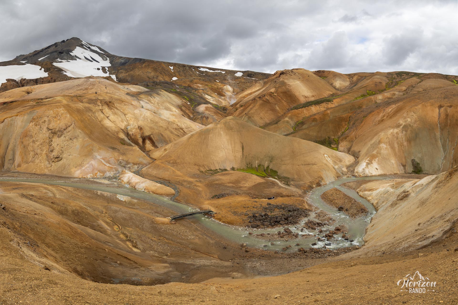
More hikes to do in Iceland
Nearby hikes
















Printed from www.horizonrando.fr/en/iceland/hveradalir-geothermal-area/