





Grábrók Crater Hike
Key facts about the hike
- Difficulty
- Very easy Hikes are rated from very easy to very hard: my difficulty scale
- Duration
- 0h30 Estimated time, short breaks included (photos, water, snacks), picnic not included: how it is calculated
- Distance
- 1.2km
- Elevation gain
- 80m
- Type of route
- Loop
- Maximum altitude
- 173 m
- Vertiginous Five levels, depending on how exposed the route is: the levels in detail
- No
- Marked
- Yes
- Popularity
- Moderate
- Region
- West
- Start point
- 64.77150, -21.53160
- Activity
- Hiking
Hike overview
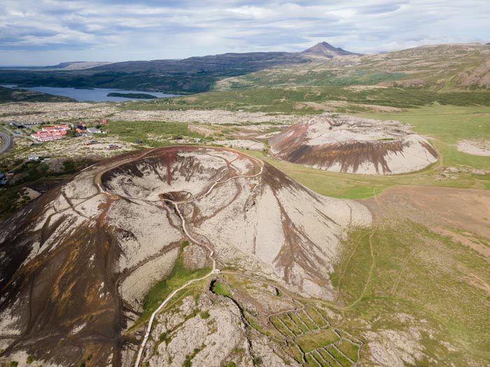
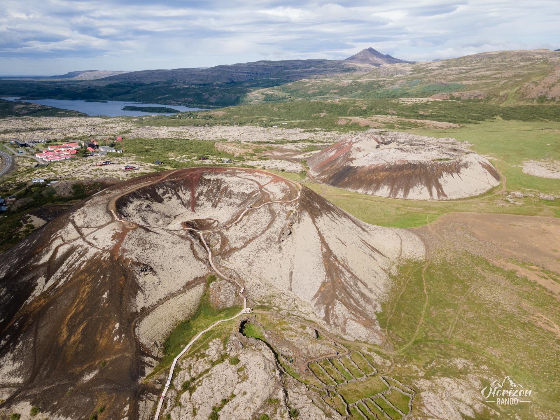
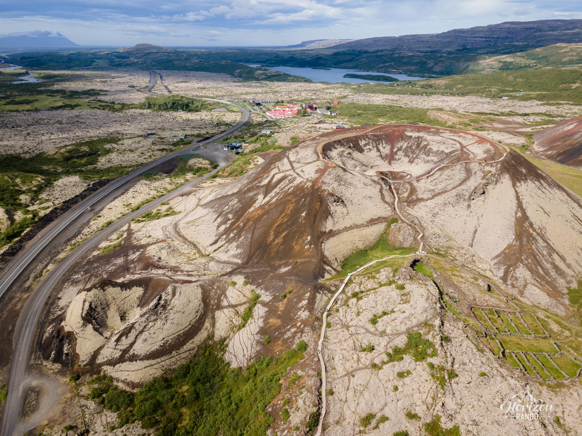
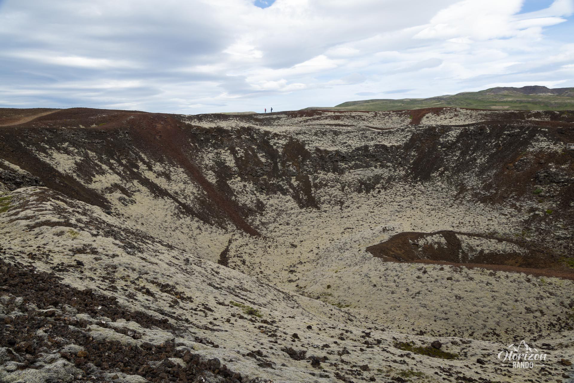
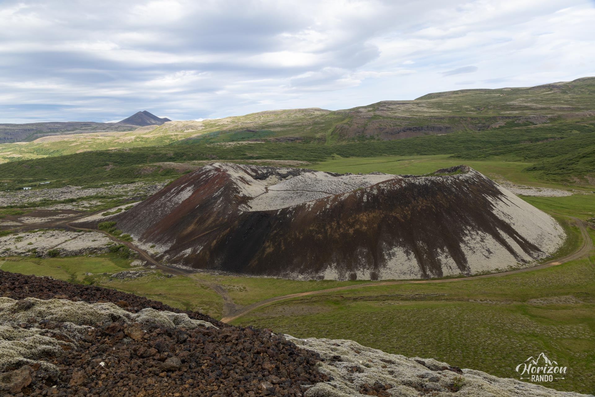
At over 170 meters high, Grábrók is an explosive volcano that formed around 3,400 years ago. The largest of the three craters at the site, Grábrók belongs to the 90-kilometer-long Ljosufjoll volcanic system, one of the longest in Iceland.
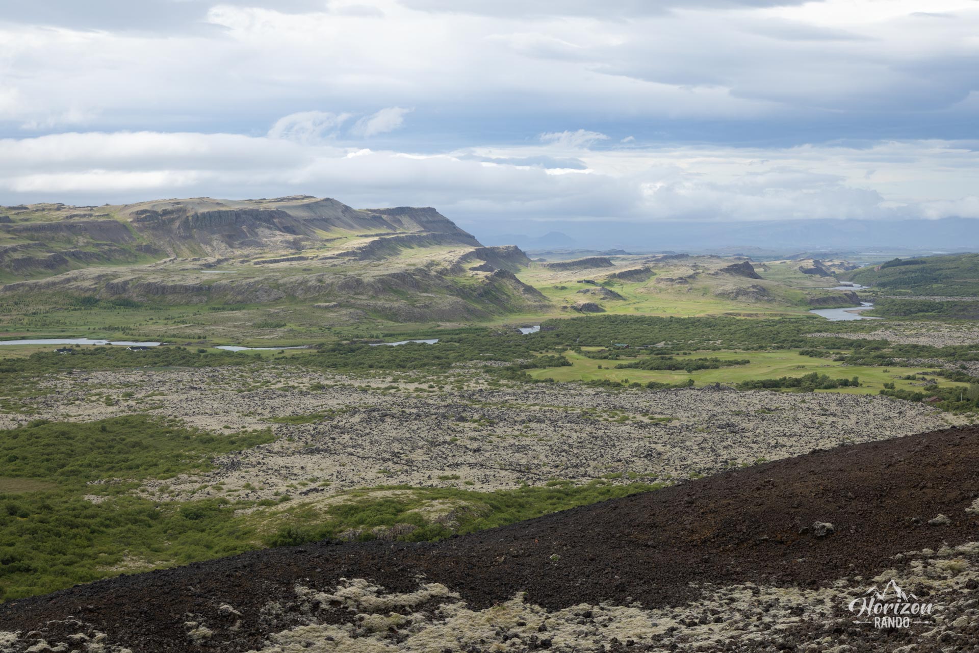
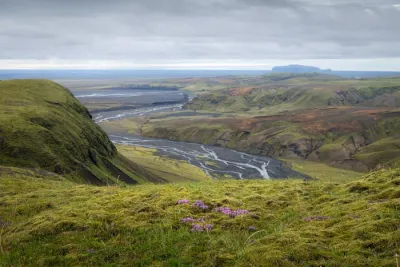
From the summit, you can enjoy a 360° panorama of the impressive moss-covered lava field, surrounding lupine fields, and mountains of Borgarfjörður. This short, accessible hike is an ideal stop along the Golden Circle.
Map and elevation profile of the hike
Grábrók Crater Hike
Difficulties of the hike
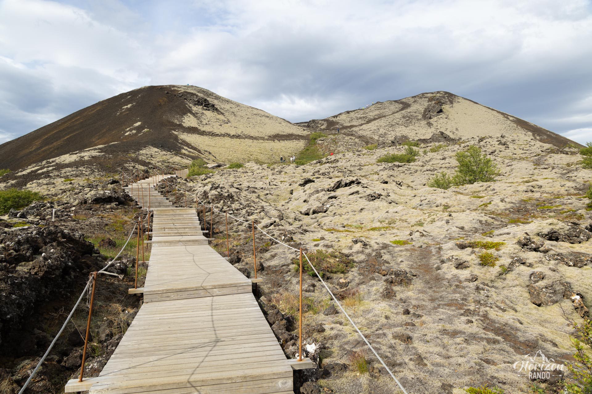
This route is easy and falls somewhere between a walk and a viewpoint. The climb takes no more than 15 minutes and follows a well-maintained, marked trail with around 300 wooden steps.
What you'll love
- Spectacular panoramic views from the top: You will overlook Grábrókarhraun, an impressive moss-covered lava field, and enjoy a 360-degree view of the Icelandic countryside.
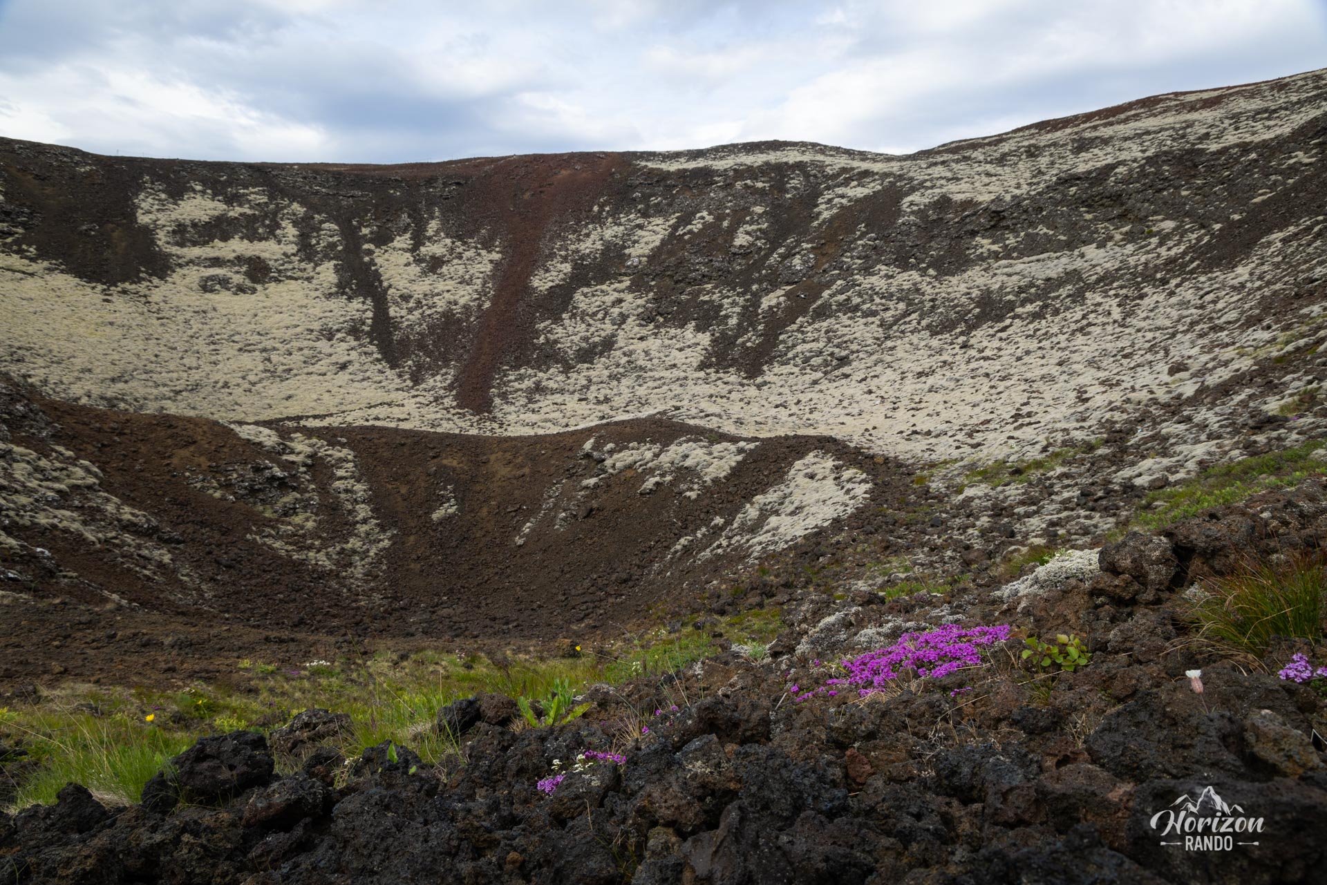
- The unique experience of walking along the edge of a volcanic crater.
- Remarkable accessibility: A short, well-maintained trail, ideal for a quick break along the circular route.
Photos
See all 8 photos →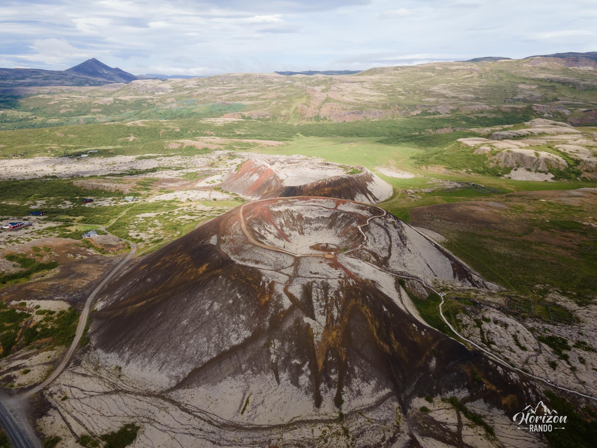
More hikes to do in Iceland
Nearby hikes
















Printed from www.horizonrando.fr/en/iceland/grabrok-crater/