





Thingvellir National Park Hike
Key facts about the hike
- Difficulty
- Very easy Hikes are rated from very easy to very hard: my difficulty scale
- Duration
- 1h30 Estimated time, short breaks included (photos, water, snacks), picnic not included: how it is calculated
- Distance
- 5.1km
- Elevation gain
- 80m
- Type of route
- Loop
- Maximum altitude
- 145 m
- Vertiginous Five levels, depending on how exposed the route is: the levels in detail
- No
- Marked
- No
- Popularity
- Very high
- Region
- West
- Start point
- 64.25579, -21.12971
- Activity
- Hiking
Hike overview
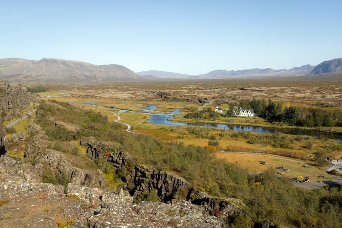
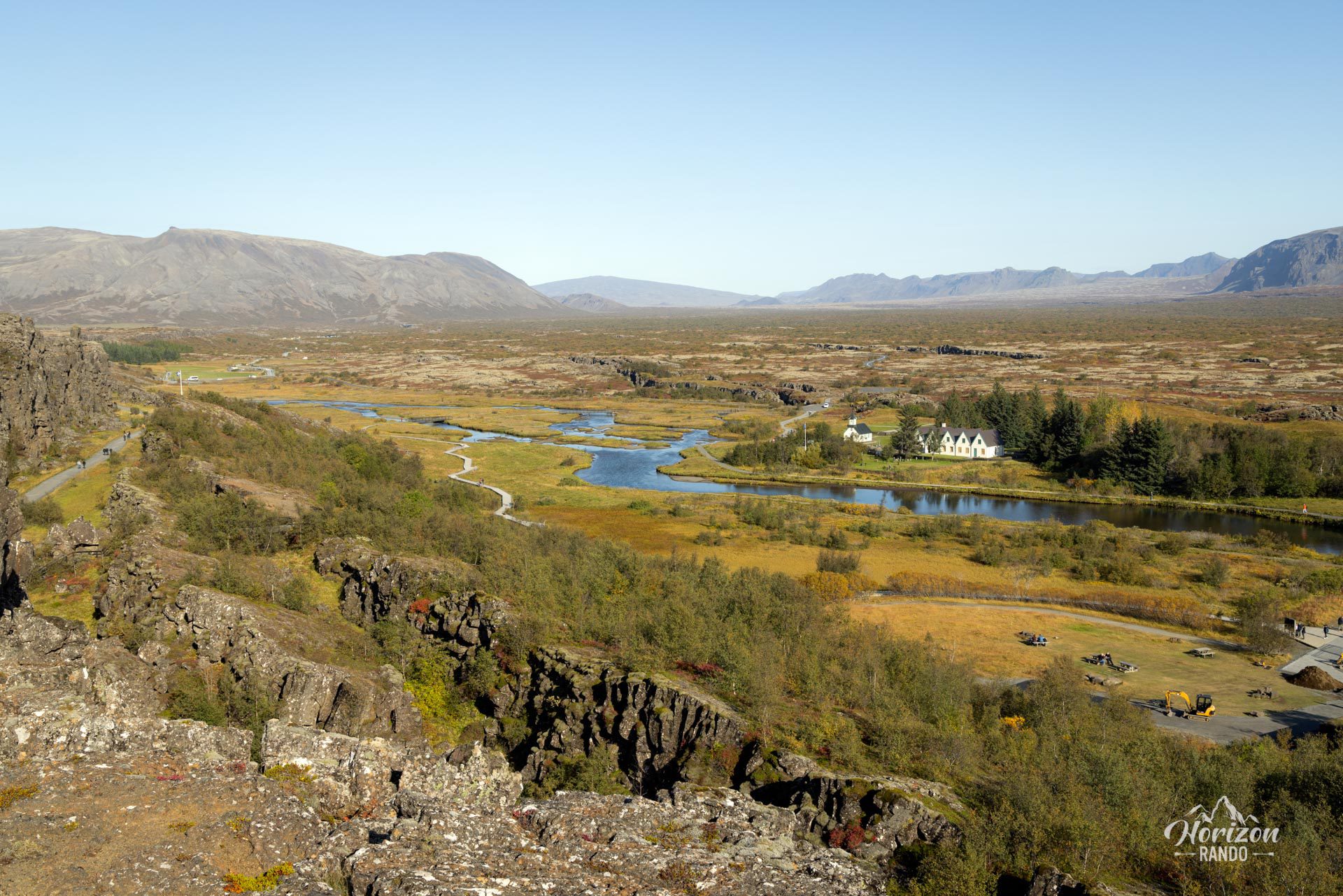
Discover Thingvellir, or Þingvellir, a remarkable historical site where the Althing, Iceland's parliament, convened from 930 to 1798. Today, Thingvellir is a national park located in southwestern Iceland, about 25 miles northeast of Reykjavík.
This site is of great historical, cultural, and geological importance, making it one of Iceland's most popular tourist destinations. The park is situated in a rift valley that marks the boundary between the North American and Eurasian tectonic plates. Established in 1930 to commemorate the 1,000th anniversary of the Althing, Thingvellir National Park was subsequently expanded to safeguard the region's diverse natural features. In 2004, it was listed as a UNESCO World Heritage Site.
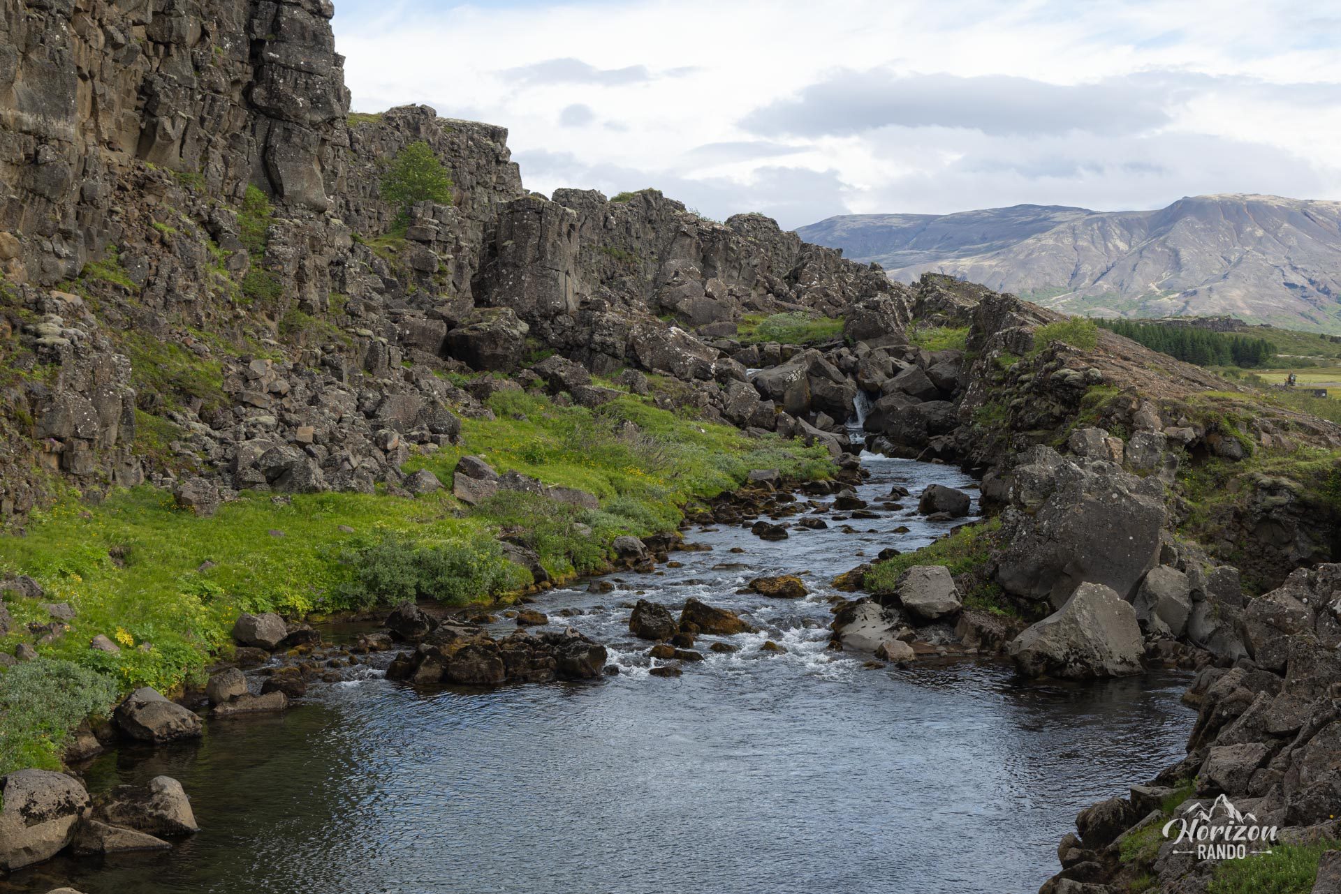
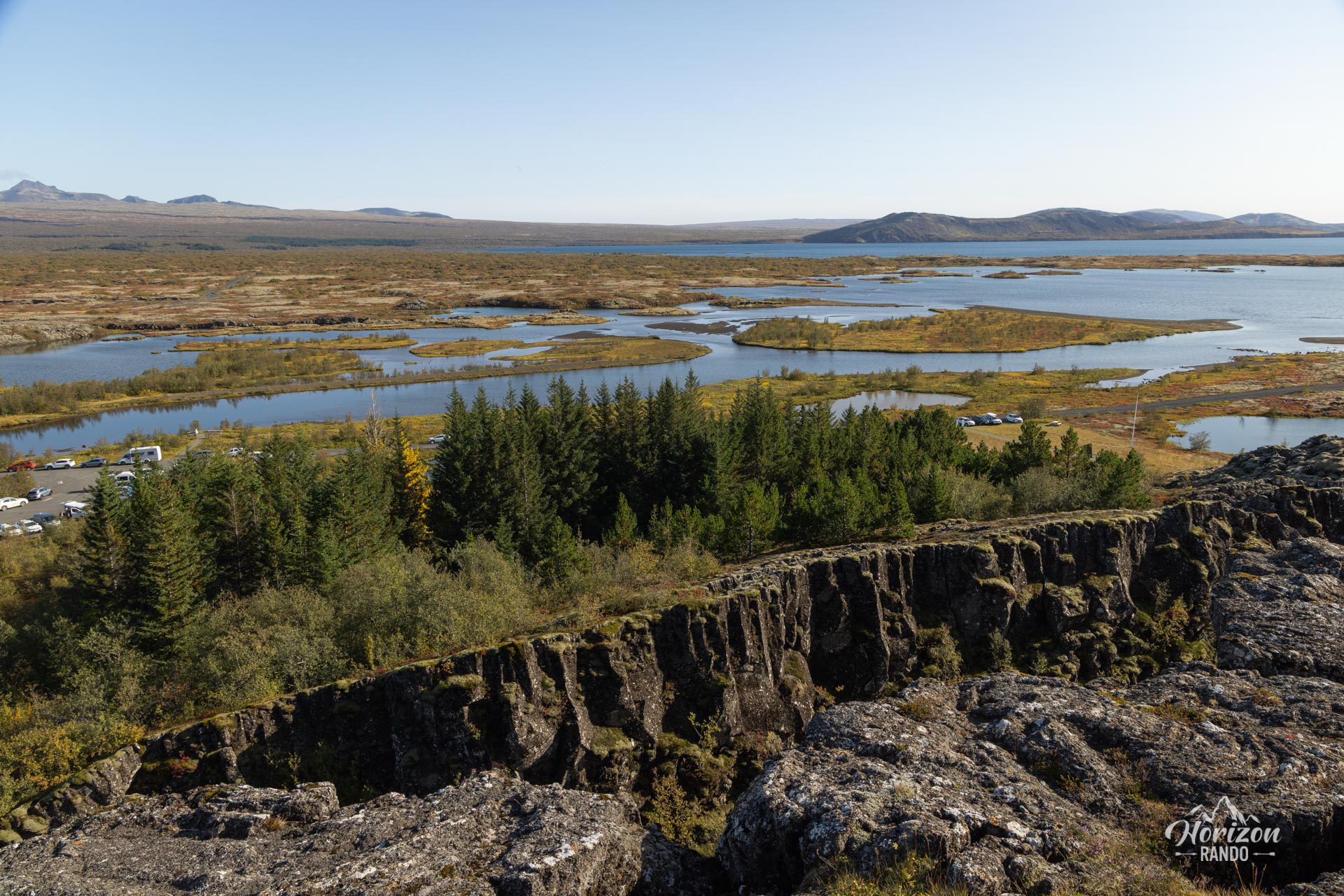
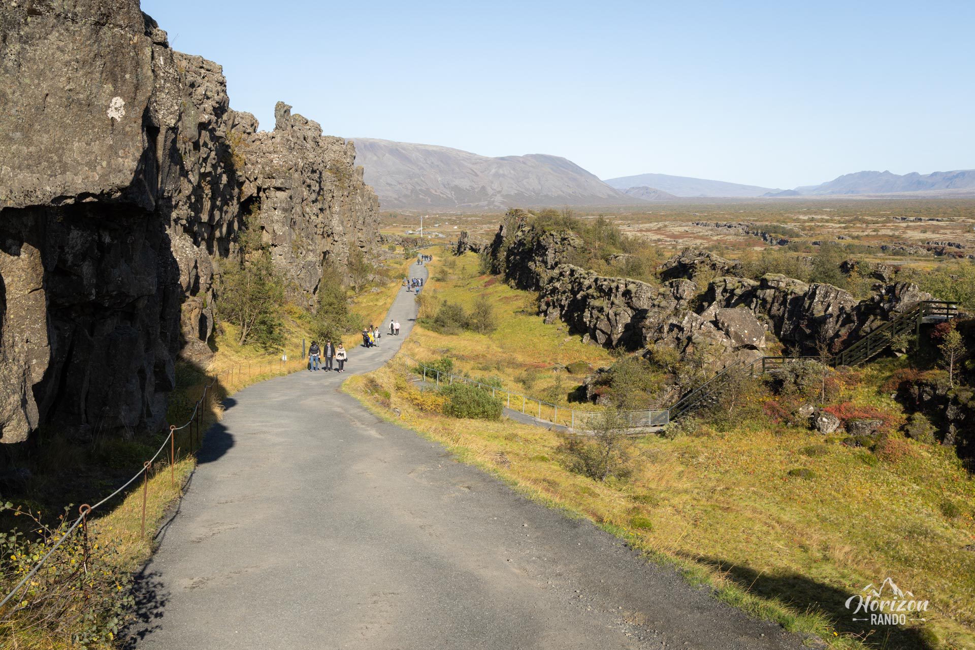
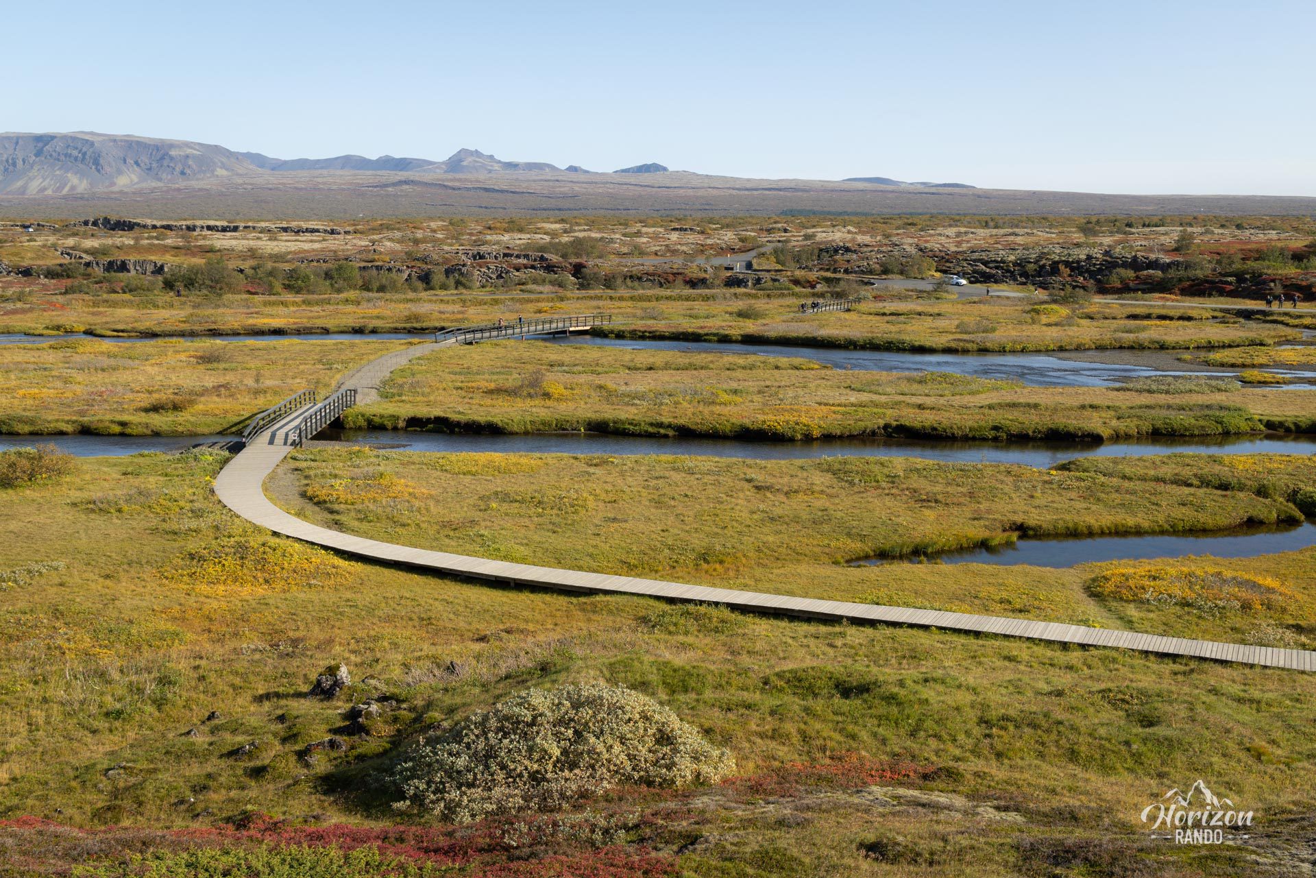
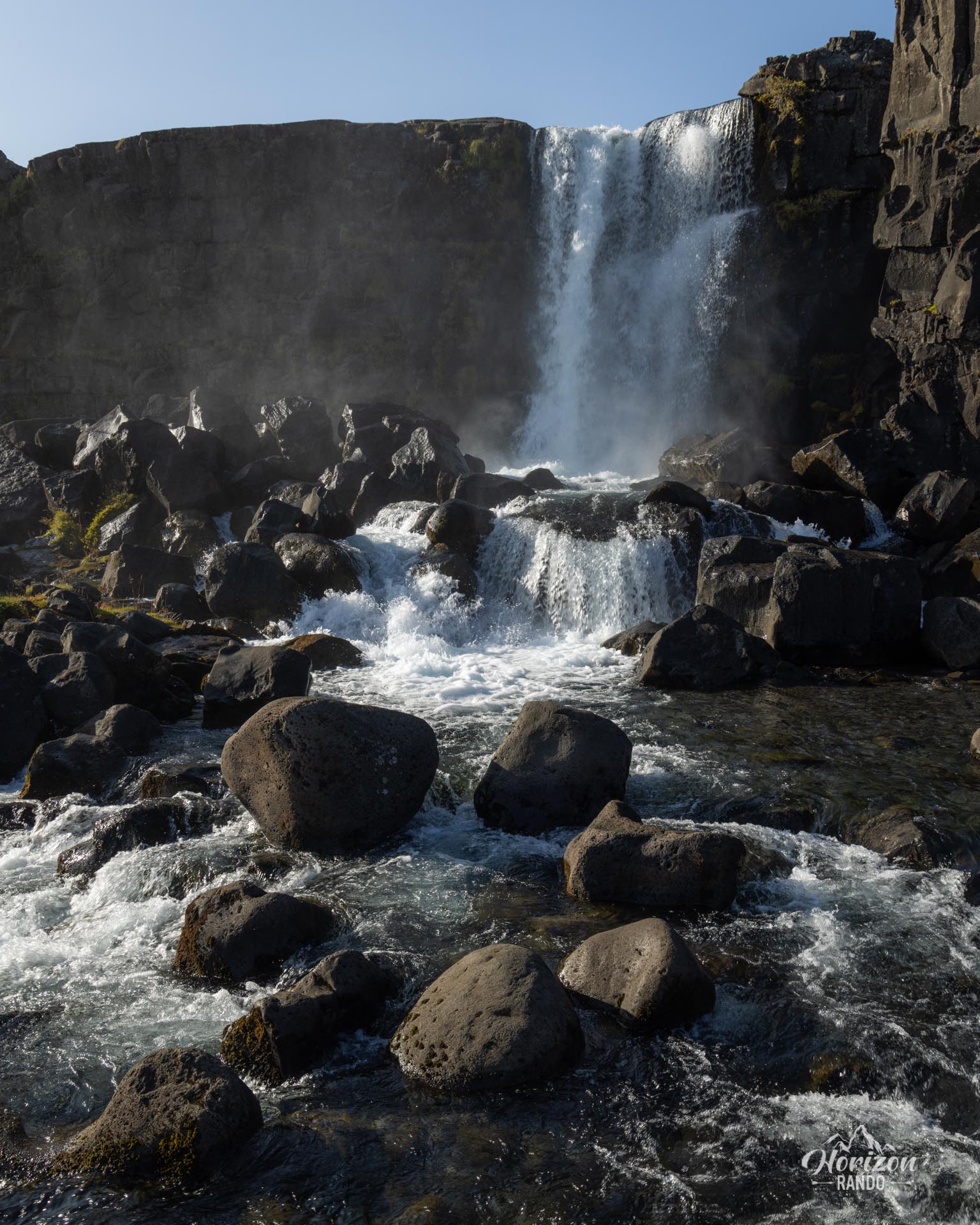
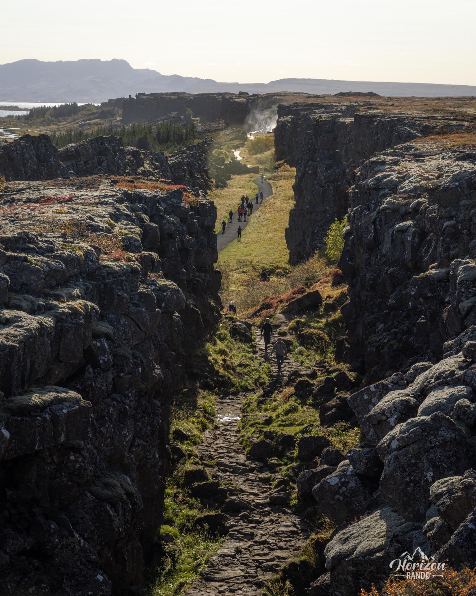
The proposed itinerary is just a suggestion. Thingvellir offers many trails and circuits. This route crosses the famous Almannagjá gorge, where you can walk between the North American and Eurasian tectonic plates. The program also includes the Öxararfoss waterfall and Lake Thingvallavatn, Iceland's largest natural lake.
Map and elevation profile of the hike
Thingvellir National Park Hike
Difficulties of the hike
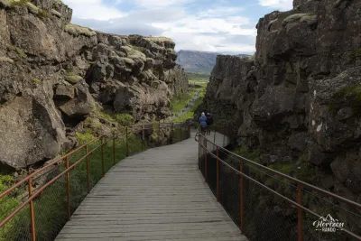
This hike is very easy and accessible to all. The trail is in excellent condition and well-maintained. The terrain is mostly flat. While the route is not marked, there are numerous signs and directional panels at each intersection.
What you'll love
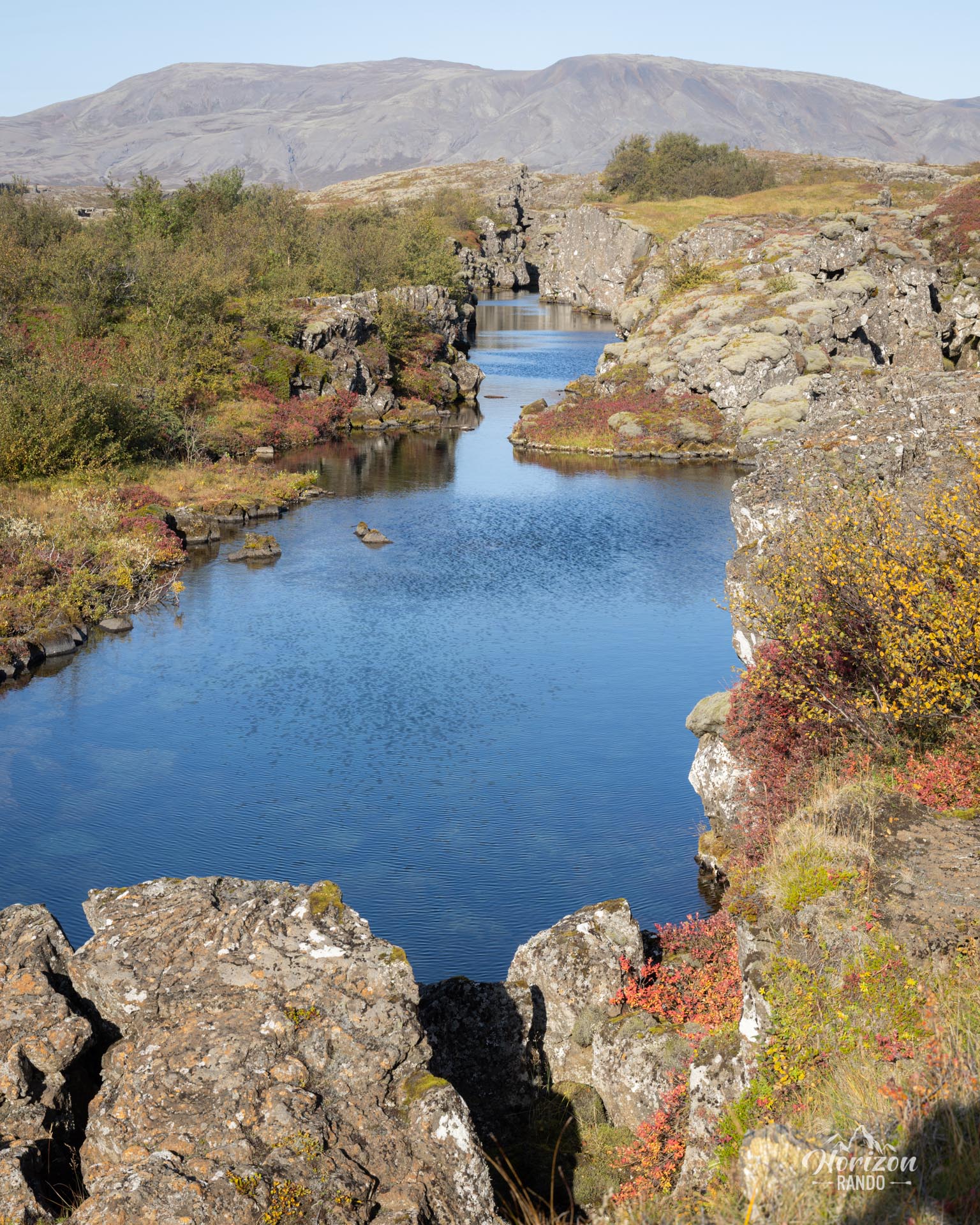
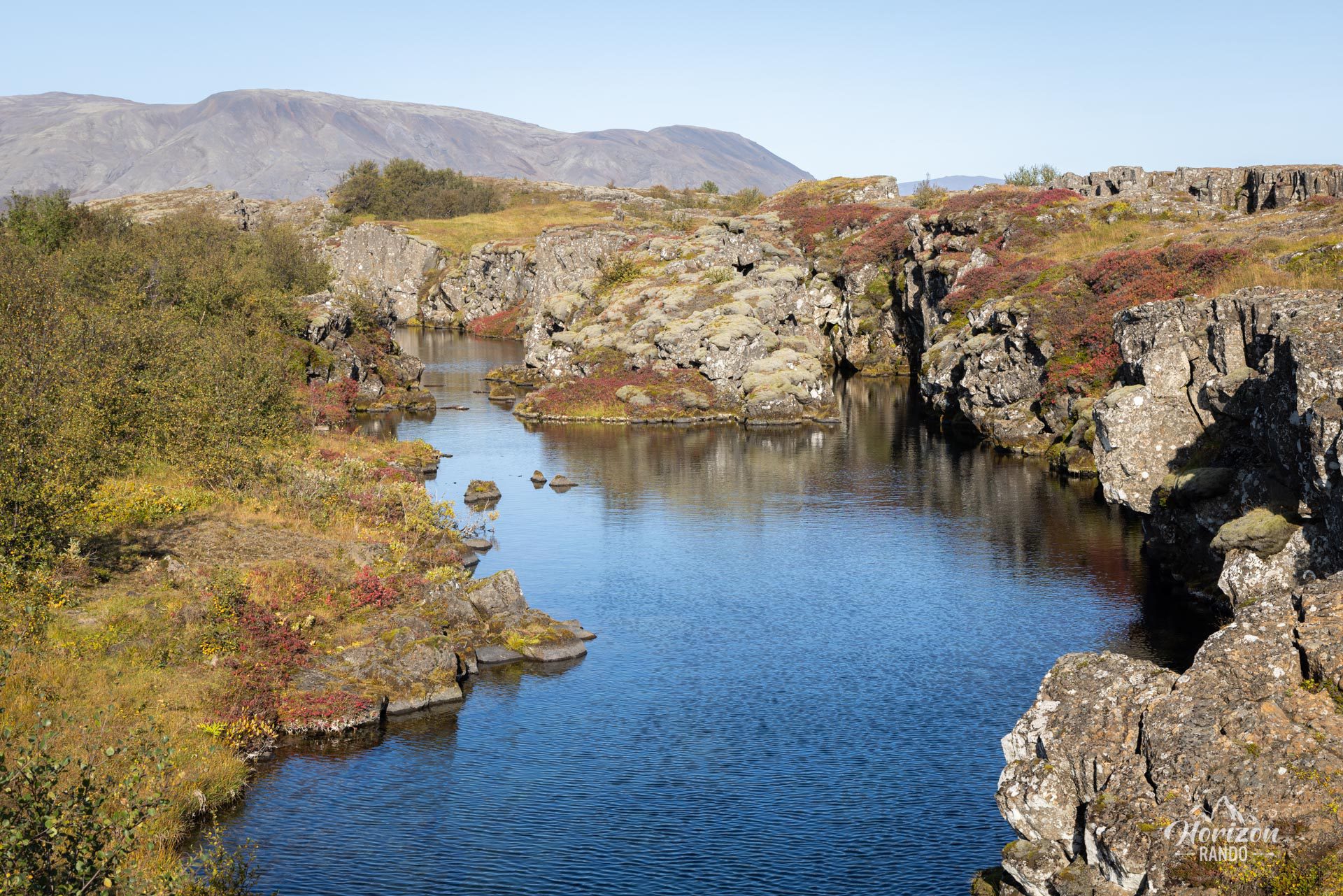
- Walking between two continents: Experience the uniqueness of walking along the Almannagjá fissure, which separates the North American and Eurasian tectonic plates. You will literally walk on the Mid-Atlantic Ridge, which is visible on the surface here—an exceptional geological phenomenon.
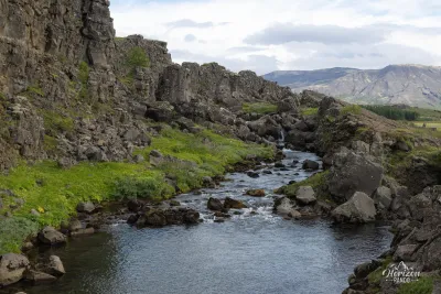
- Öxarárfoss Waterfall: This waterfall flows into a particularly photogenic mineral and volcanic setting.
- A site of major historical importance: Thingvellir was home to the Althing, the Icelandic parliament, from 930 to 1798. This makes it the cradle of Icelandic democracy and a powerful symbol of national identity.
Practical information
Parking
Several large paid parking lots are available in the park. Indicative price in 2025: ISK 1,000 (about €7).
Visitor center
A modern visitor center offers an interactive exhibition on the nature and history of the park for a fee, as well as a café and a souvenir shop.
Diving in Silfra
If you enjoy diving or snorkeling, don't miss the Silfra rift. This site has some of the clearest water in the world, with visibility exceeding 100 meters. You can literally swim between two tectonic plates in crystal-clear water ranging from 2 to 4°C. Reservations are required through specialized agencies.
Photos
See all 10 photos →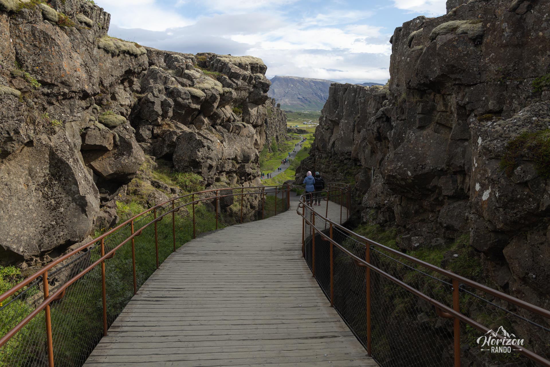
More hikes to do in Iceland
Nearby hikes

















Printed from www.horizonrando.fr/en/iceland/thingvellir-national-park/